Embed Size (px)
Citation preview
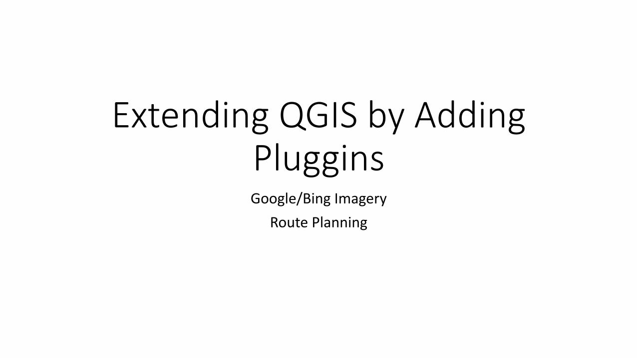
Extending QGIS by Adding PlugginsGoogle/Bing Imagery
Route Planning
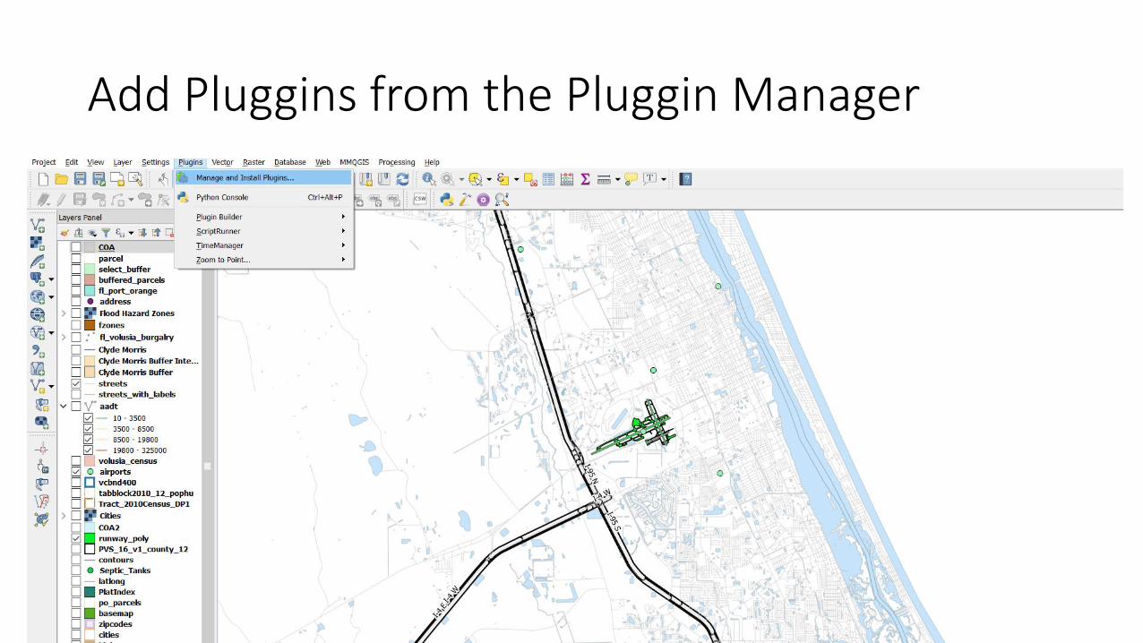
Add Pluggins from the Pluggin Manager
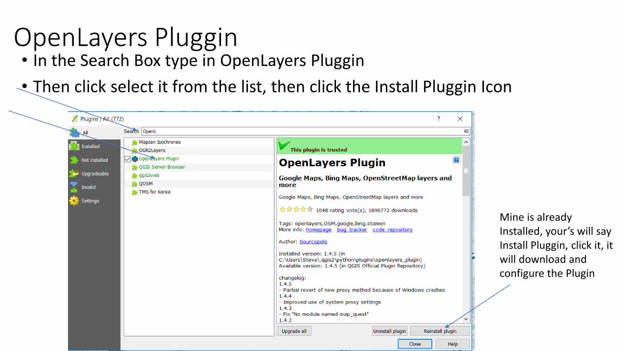
OpenLayers Pluggin• In the Search Box type in OpenLayers Pluggin
• Then click select it from the list, then click the Install Pluggin Icon
Mine is already Installed, your’s will say Install Pluggin, click it, it will download and configure the Plugin
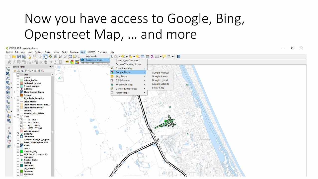
Now you have access to Google, Bing, Openstreet Map, … and more
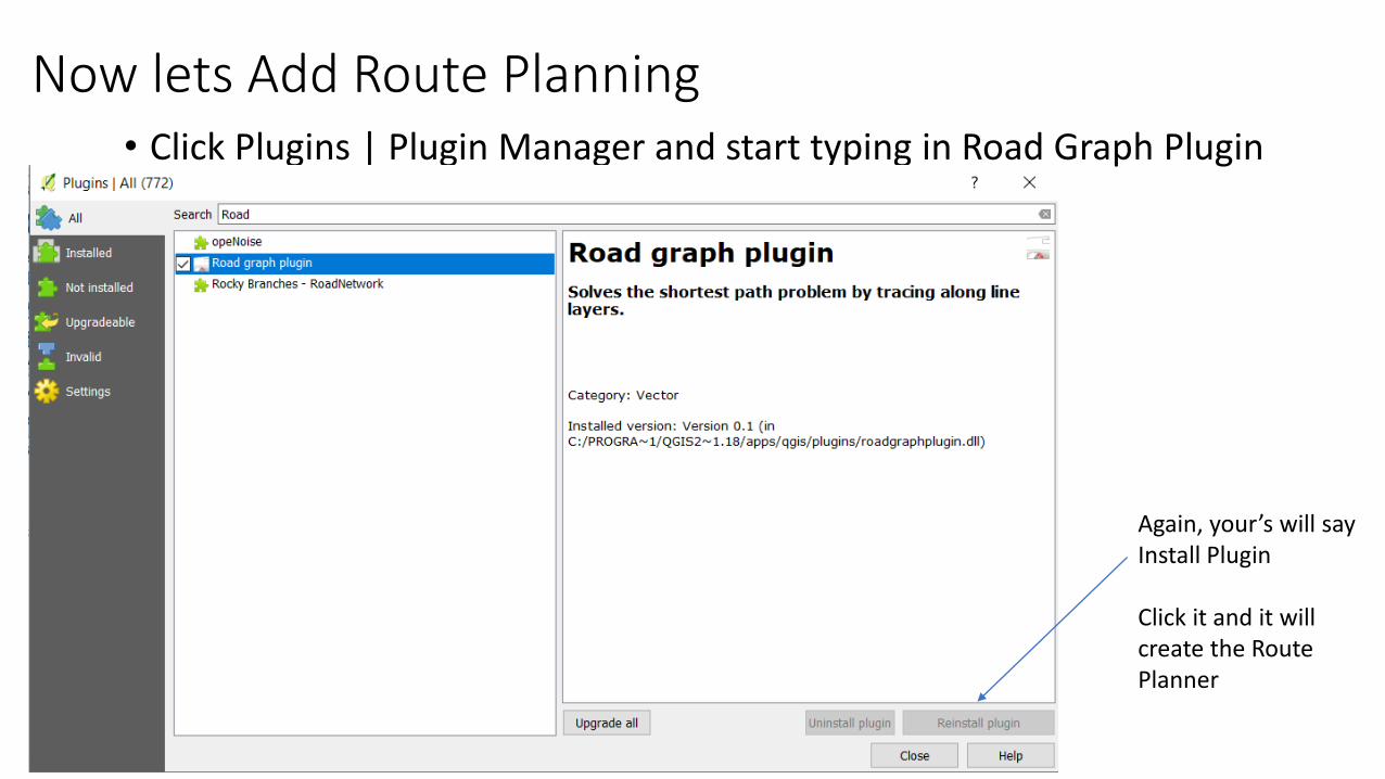
Now lets Add Route Planning• Click Plugins | Plugin Manager and start typing in Road Graph Plugin
Again, your’s will say Install Plugin
Click it and it will create the Route Planner
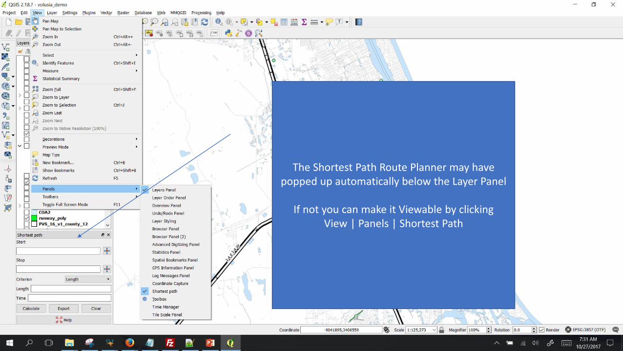
The Shortest Path Route Planner may have popped up automatically below the Layer Panel
If not you can make it Viewable by clickingView | Panels | Shortest Path

To Use the Shortest Path Route Planner, you need to configure it.
Click View | Road Graph | Settings
Layer should be set to your streets or roads Layer, for now we’ll just use distance as the optimizer, but you
could expand this..
Click Ok when done
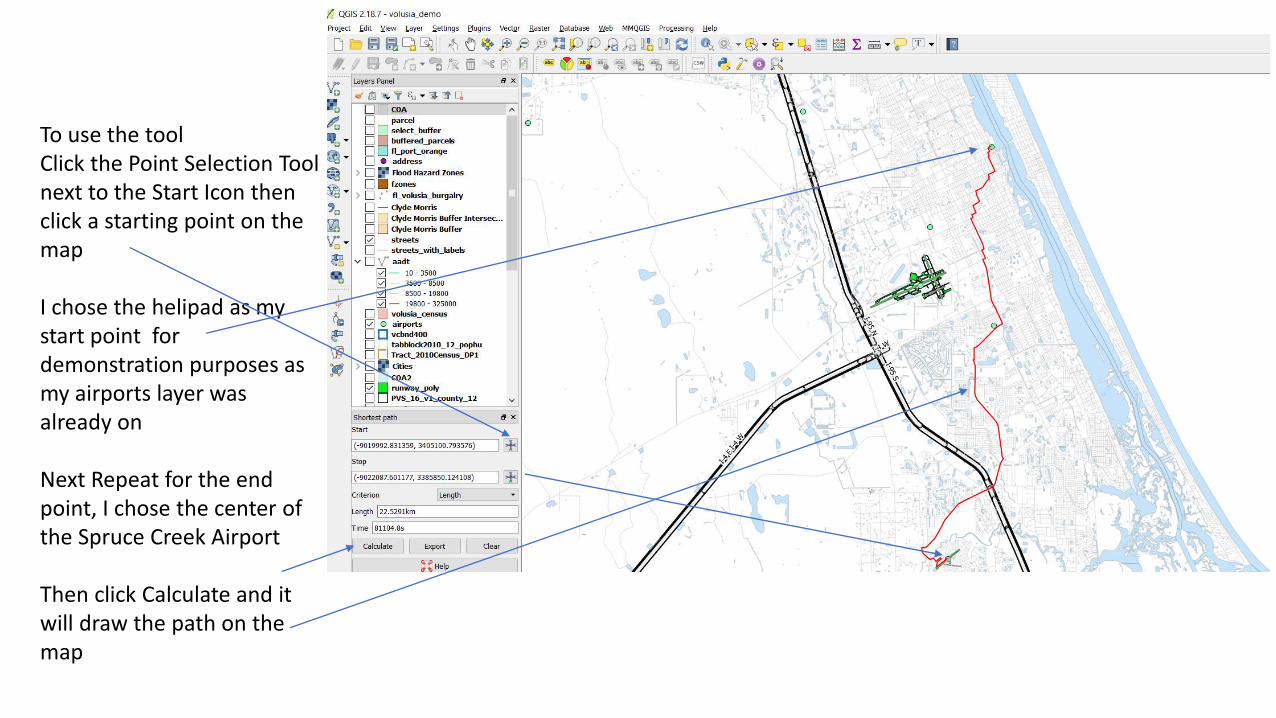
To use the toolClick the Point Selection Toolnext to the Start Icon then click a starting point on the map
I chose the helipad as my start point for demonstration purposes as my airports layer was already on
Next Repeat for the end point, I chose the center of the Spruce Creek Airport
Then click Calculate and it will draw the path on the map