Embed Size (px)
Citation preview

Flight report – P-3 ORACLES, Sep 25, 2016
Submitted by Jens Redemann (P-3 Flight scientist); Assistant Flight Scientist: Rob Wood (P3)
Ground Mission Scientists: Paquita Zuidema (P3), Rich Ferrare (ER2)
Goals/Objectives:
1. ER-2 takeoff: 9:30am local P3 takeoff: 10:00am local
2. Routine flight: coordination with ER-2 in 1 location (10S/0E) at 13:12UT (ER-2 arrival)
3. Coordination with ER-2 after exercising extended (9hr+) reach of P-3
Forecasts:
Mostly solid Sc along flight track. Stable forecast on the large scale. Note eddy circulation near YWB. SH
high reforming to the west. Weak winds in our region. Trough moves in – mid-level cloud develops over
Namibia. See train of moist regions following jet still extending out to Ascension. 600mb anticyclone
develops over Botswana. Moisture blob at 600mb is part of GAP. No mid-level or high-level cloud along
routine track. Expected aod up to 0.4 (500 nm).

Aerosol Forecasts:

General Remarks:
P3 take-off: 07:57UT
P3 landing: 16:35UT
Duration (recorded): 8.8hrs
Initial transit toward 10S/0E inside BB layer at 14 and 18kft. Profiles on outbound legs pretty much flown
as planned, with extended low level legs. AOD 0.3-0.4, with the exception of 0.6 near turn-around point.
Because of significant tailwind on outbound leg and worries about head wind on return leg, P-3 was
ahead of schedule throughout first half of the flight – we moved coordination point with ER-2 to 14S/4E
instead of original point at 10.5S. Coordination at 13:45UT, with P-3 in cloud (after a below-cloud leg
and before above-cloud legs). HiGEAR reports very clean layer above cloud top near 20S on return leg.
Figure 1. Actual ER-2 (pink) and P-3 flight track (color coded by 4STAR AOD, only sampled for altitudes
between 0.6 and 1.8km) for 25 Sep 2016.
Figure 2. Preliminary 4STAR AOD and flight altitude

Figure 3. Altitude versus latitude color coded by time.
Progress towards Science Objectives: expectation-based estimates need further analysis

green-success likely; red-success uncertain Direct Forcing SO1-1 evolution of BBA properties with transport: ~ 352 min 4STAR sun tracking SO1-2 spectral radiative fluxes ~ 36 mins (0.6km<alt<1.8km, sun visible, AOD>0.1) + ~ 186 mins (alt>1.8km, sun visible, AOD>0.1) SO1-3 factors that control seasonal variation of aerosol ~ 352 min 4STAR sun tracking Semi-Direct Effect SO2-1 relative aerosol-cloud vertical structure ~6 profiles from altitude>3km to cloud top SO2-2 constrain aerosol heating rate ~ 36 mins (0.6km<alt<1.8km, sun visible, AOD>0.1) ~ 186 mins (alt>1.8km, sun visible, AOD>0.1) SO2-3 cloud microphysics ~ at least 45 minutes in or below cloud (estimated based on altitude) Indirect Effects SO3-1 aerosol-BL mixing ~at least 45 minutes in or below cloud (estimated based on altitude) SO3-2 aerosol-BLcloud microphysics* ~at least 45? minutes SO3-3 precipitation susceptibility* ~at least 45? minutes
General Observations:
7:49 start taxi

8:20 – Leveled off at 16kft; would like to go to 18kft but too heavy

8:37 plume over right wing (N) is higher and thicker (it seems); ahead and to the South plume is much
less visible
8:45 climbing to 18kft
Descending to 14kft
9?:53 climbing to 18kft – we are about 8mins ahead of schedule
10:25 transiting to 14S inside layer at 18kft
10:41 descending to 4kft at 1000ft/min, then 500ft/min below
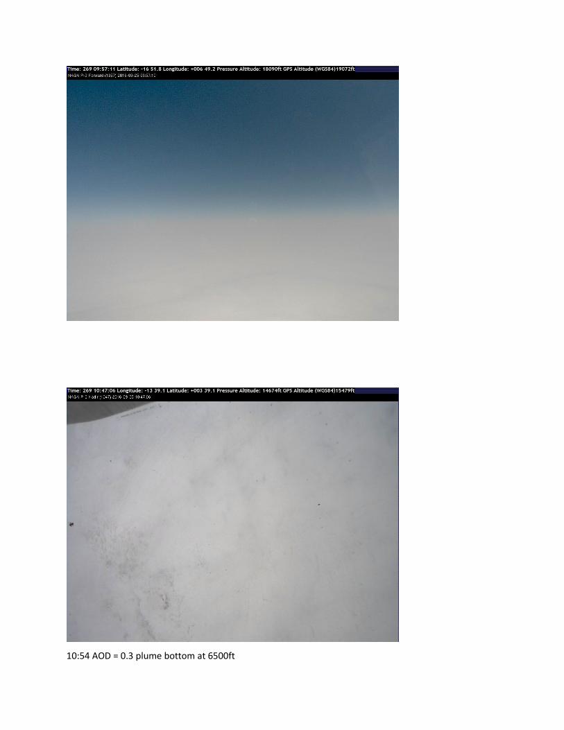
10:54 AOD = 0.3 plume bottom at 6500ft


12:2? Turned at 9S to coordinate with ER-2
12:47: ascending to 18kft, will level out there for enough time to descend to ~cloud level and coordinate
with ER-2 overpass at 14S/4E

13:01 solid plume below
13:33 below cloud at 200ft
13:45 ER-2 overpass time
13:55 doing above cloud work; two 4STAR scans
14:03 speed runs: 2mins each at 200, 240, 280knots
14:2? Ascending to 18kft for transit home
14:55 solid layer below
14:56 en route descent into layer and descent to top of clouds
15:18 sky scans at top of clouds
15:24 evidence of clear layer