Embed Size (px)
Citation preview

Maria Antonia Brovelli Politecnico di Milano DICA. Hydroinformatics Lab. Como Campus, Italy
Free and Open Source Software
and Web Services Specializing
in the Water Sources Domain
Online Seminar September 26, 2014
2
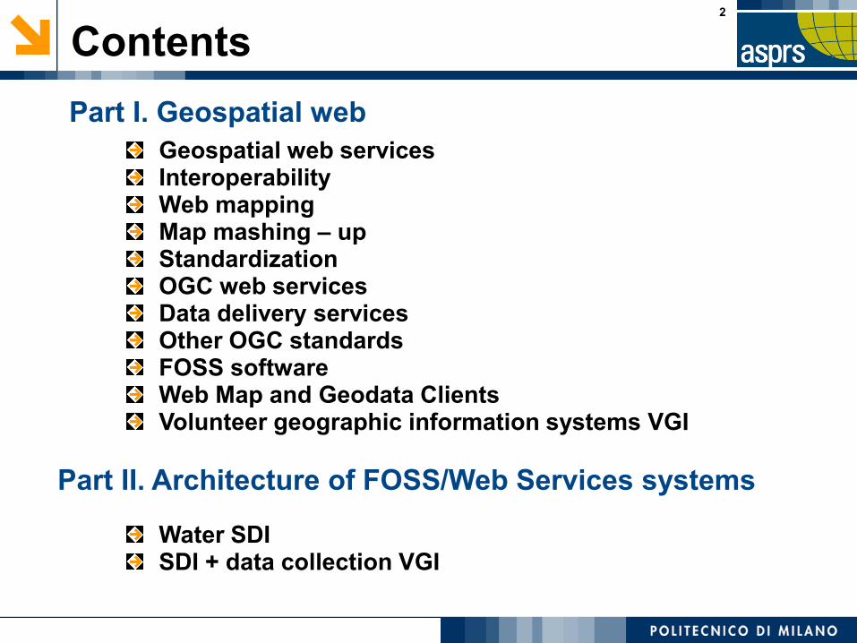
Contents
Part II. Architecture of FOSS/Web Services systems
Part I. Geospatial web
Geospatial web servicesInteroperabilityWeb mapping Map mashing – upStandardizationOGC web servicesData delivery servicesOther OGC standardsFOSS softwareWeb Map and Geodata ClientsVolunteer geographic information systems VGI
Water SDISDI + data collection VGI

3
Geospatial Web Services
Web Service
“...a software system designed to support interoperable
machine to machine interaction over a network”
NETWORK
NETWORK
Geospatial Web Service
“...allows geospatial data and functions to be interoperable”
Part I. Geospatial web

4
Interoperability
Interoperability is the capability to communicate, execute
programs or transfer data among various functional units in a
manner that requires the user to have little or no knowledge of
the unique characteristics of those units (ISO/IEC 2382-01,
Information Technology Vocabulary, Fundamental Terms)
Examples of interoperabile components needed by a
distributed GIS:
Catalogues (collections of metadata, that is information on available objects and operators)
Data archives
Viewers and editing tools
Operators (e.g. for transformation, filtering, integration,…)
Part I. Geospatial web

5
Web mapping
Geodata Servers Geodata Clients
INTERNET
Part I. Geospatial web

Publish
Discover
UseStorage Acc
ess
Dat
a
Interoperability!!
Spatial Data Infrastructures
Part I. Geospatial web

7
Map mashing-up
Servers Clients
INTERNET
DIGITAL TERRAIN MODEL
BASE MAP
THEMATICAL MAP
Part I. Geospatial web

8
Standardization
In order to obtain the interoperability standards are needed
De facto standard: technical instruction used by a noteworthy number of people and/or organizations (i.e. shp, dxf, …)
De jure standard: technical instruction set by national and/or
international standardization organizations (W3C, ISO, OGC,
National standards, ...)
(TC211 - geographic information and geomatics)
Part I. Geospatial web

9
OGC Web Services (OWS)
OGC Web Services expose geographical functionality toWeb users through a standard Web protocol
XML based: the use of the “eXtensible Markup Language”allows to encoding data, rules and functions in a format thatis both human-readable and machine-readable:
Web Services are platform and OS-independent
The functioning of OWS can be described in four steps:
The client contacts the server and queries it about itsfunctionalities
The server sends back to the client an XML documentcontaining the functionalities of the supported service
The client asks the server for data
The server provides the data as requested
Part I. Geospatial web

10
OWS - Data Delivery Services (2)
WMS: service that generates maps and makes themavailable as image → RASTER
WFS: service that generates geographic entities or features.If the service is “transaction” (WFS-T), data manipulation isallowed → VECTOR
WCS: service that generates geospatial coverages, that aregeospatial information representing space-varyingphenomena (fields) → GRID
SOS: service that generates metadata and observationsfrom heterogeneous sensor systems → DATA (XML)
Most frequently used water data delivery services
Part I. Geospatial web

Water Data Framework
Hydrology
(RFC Basins,
NHDPlus Catchments)
Hydraulics
(National Flood Hazard Layer,
Flood Inundation Map Libraries)
Geospatial
Temporal
Time Series
(WaterML2 and .csv) Multidimensional Arrays
(WCS and netCDF)
Slide source: David Maidment
Part I. Geospatial web

International Standardization of WaterML
Hydrology Domain Working GroupStandards for water data: WaterML 2.0 suite
Organizing Interoperability Experiments (IEs)
focused on different sub-domains of water
Iterative Development
http://external.opengis.org/twiki_public/bin/view/HydrologyDWG/WebHome
Part I. Geospatial web

HydroDWG: Suite of Water Information Standards
WaterML2Part5:
River Channel
(RiverML, under
development)
WaterML2Part5:
River Channel
(RiverML, under
development)
WaterML2Part1:
Water Quantity
Observation
(OGC10-126r4)
WaterML2Part1:
Water Quantity
Observation
(OGC10-126r4)
WaterML2Part2:
Gauging
Observation
(OGC13-021rX)
WaterML2Part2:
Gauging
Observation
(OGC13-021rX)
WaterML2Part3:
Water Quality
Observation
(OGC14-003rX)
WaterML2Part3:
Water Quality
Observation
(OGC14-003rX)
CSML3:
Atmospheric-
water
component
CSML3:
Atmospheric-
water
component
SoilML:
Soil-water
component
SoilML:
Soil-water
component
WaterML2Part4:
Groundwater
(GWML2, under
development)
WaterML2Part4:
Groundwater
(GWML2, under
development)
TimeSeriesML
(under
development)
TimeSeriesML
(under
development)
Suite of Water Information Standards:
towards the identification, observation
and representation of hydrologic
features using standards
HY_Features,
common hydrologic
feature model
(OGC11-039r3)
HY_Features,
common hydrologic
feature model
(OGC11-039r3)
Part I. Geospatial web

14
Data formats:SFS: Simple Feature Standard
GML: Geography Markup Language
CityGML : storage of virtual 3D city models
KML: Keyhole Markup Language
NetCDF: OGC Network Common Data Form
...
Services and specification:WMTS: Web Map Tile Service
CTS: Coordinate Transformation Service
WCPS: Web Coverage Processing Service
GeoAPI Implemenation
Filter Encoding
...
Other OCG Standards
Part I. Geospatial web
15
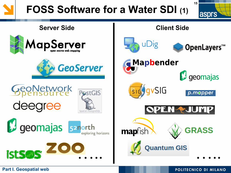
FOSS Software for a Water SDI (1)
Server Side Client Side
….. …..Part I. Geospatial web

16
✔ Set of practices in which citizens participate in data collection, analysis
and dissemination of a scientific project
✔ Active or passive
✔ Explicit or implicit
✔ Classification
Citizen Science
➔ 'classic' citizen science: citizens engaged in traditional scientific activities
➔ community science: measurements and analysis carried out by amateurs
in order to set action plans to deal with environmental problems
➔ citizen cyberscience: use of computers, GPS receivers and mobile phones
✗volunteered computing: citizens download data, run analyses on their own
computers and send back data to the server
✗volunteered thinking: citizens perform classification works
✗participatory sensing: applications centered on mobile phones capabilities
Part I. Geospatial web

Part II. Architecture of FOSS/Web Services systems

UseAcce
ss D
ata
Catalog
groundwater hydrology
flood risk management and response
water supply for municipalities
surface water hydrology
wastewater and stormwater
WebGIS
Part II. Architecture of FOSS/Web Services systems
Water SDI
Storage
water quality
monitoring and warning
river basins
reservoir and irrigation systems management
hydro electrical power generation

19
Water SDI FOSS architecture
SERVER CLIENT
WMS
DATA STORAGE
DATA WEB PUBLICATION
DATA WEB VISUALIZATION
Part II. Architecture of FOSS/Web Services systems
DATA MOBILE VISUALIZATION
SOS
WFS
WPS
CSW

20
Citizen science FOSS architecture
SERVER CLIENT
template form
WMS
AGGREGATE COLLECTcompiled form
DATA STORAGE
DATA ACQUISITION
DATA WEB PUBLICATION
DATA WEB VISUALIZATION
Part II. Architecture of FOSS/Web Services systems
DATA MOBILE VISUALIZATION
SOS
WFS
WPS
CSW

Serv
er
Clie
nt
WMS
Part II. Architecture of FOSS/Web Services systems
JAVA BASED SERVER
JAVA BASED CLIENT
SDI FOSS architecture + 3D

Special thanks to Carolina Arias Muñoz, PhD
student @Politecnico di Milano, for helping us to
prepare the content of the [email protected]
http://www.carolinaariasmunoz.com/linkedin
Politecnico di MilanoGeomatics Lab - Polo Territoriale di Como
Via Valleggio 11, 22100 Como (Italy)