Embed Size (px)
Citation preview
Frequency Spectrum Management
Satellite Direct Readout Conference:A Decade in Transition
07 December 04
Dr. David F. McGinnisNESDIS Radio Frequency Manager

2
Importance of Radio Frequencies for Satellites
Vital for transmission from satellite of sensor data and satellite telemetryVital for transmission to satellite of commands to control satellite and maintain health and functionalityVital for transmission of processed dataRequires vigilant management to maintain access to radio spectrum

3
Allocation of Radio Frequencies
Radio frequencies cover part of the electromagnetic spectrum (9 kHz to 275 GHz is currently allocated by International Telecommunication Union or ITU) is divided into many bands and often allocated to more than one use (or service) in a given band30 different services

4

5
Allocation of Radio Frequencies (cont.)
Two types of allocation status, viz. primary and secondarySecondary service cannot cause harmful interference to a primary service allocated in same bandSecondary service must also accept interference from a primary serviceWhen more than one primary service is allocated to the same band, onus is on new primary user to coordinate with existing primary users
6
Basic Radio Frequency Management Principals
Management of radio frequencies is controlled both domestically and internationallyIn U.S. the Federal Communications Commission (FCC) oversees all non-Federal Government frequency use (commercial, private, state and local governments)The National Telecommunications and Information Administration (NTIA) is responsible for Federal Government spectrum oversight
7
Basic Radio Frequency Management Principals (cont.)
Internationally, frequency management is under the purview of the International Telecommunication Union (ITU), a United Nations agency headquartered in Geneva, Switzerland189 member nations, over 650 sector members (e.g. private companies)Oversees radio regulations and international telecom treaties

8
Basic Radio Frequency Management Principals (cont.)
Filing of Satellite Systems -- DomesticThrough NTIAFour stages of review – conceptual, experimental, developmental, operationalDetailed assessment of satellite system by NTIA’s System Review BranchNeed Stage 4 (operational) NTIA approval before authorization to operate system can be grantedLast step in process is to obtain necessary frequency assignments from NTIA’s Frequency Assignment Subcommittee

9
Basic Radio Frequency Management Principals (cont.)
International FilingGeostationary satellites, e.g. GOES, follow strict ITU coordination guidelinesNon-geostationary satellites, e.g. NPOESS Preparatory Project (NPP), are required to file with ITU, but only respond to those administrations that request coordinationNPP received 10 responses for coordination based on filed frequency bands by 4-month response deadline
10
Basic Radio Frequency Management Principals (cont.)
International Filing (cont.)Exchange of information (coordination) between NOAA and interested countries to determine if any potential for interference existsIf interference potential exists, try to find way to either eliminate or minimize harmful interference so affected space systems can successfully meet mission objectives

11
Basic Radio Frequency Management Principals (cont.)
International Filing (cont.)Coordination process between countries may last several yearsOnce complete, ITU is notified of the countries with whom coordination occurred, thereby ending international phase

12
Proposed NOAA Use of Radio Spectrum, Domestic Filings
Stage 4 (Operational) for NOAA N-N’ approved by NTIA on 22 July 2004Stage 3 (Developmental) for NPOESS approved on 20 April 2004Stage 3 for GOES N Series approved on 27 October 2004Stage 1 (Conceptual) for GOES R-U approved on 11 April 2002

13
Proposed NOAA Use of Radio Spectrum, ITU Filings
NOAA N-N’ network initial ITU filing (known as NOAA N) submitted for publication in November 2004NPOESS network filed with ITU under network known as “NPP”. Coordination with 10 countries initiatedGOES-N Series published by ITU on 2 November 2004 (known as GOES East-2 and GOES West-2)

14
NPOESS Coordination Issues 1698-1710 MHz
Increase in data rates from proposed NPOESS sensors will require new Low Rate Data (LRD) frequency at 1707 MHzCurrent NOAA polar-orbiting metsats co-exist harmoniously with Chinese and Russian metsatsEUMETSAT’s METOP, expected launch in December 2005, must also be considered

15
NPOESS Coordination Issues 1698-1710 MHz (cont.)
September 2004 meeting between NOAA and EUMETSAT discussed interference concerns
NPOESS LRD spectrum requirement reduced from 10 to 6 MHz and center frequency moved from 1704 MHz to 1707 MHz to avoid METOP primary downlink at 1701.3 MHzReduction in NPOESS spectrum will completely eliminate interference between two satellite networksPossible interference would only occur if METOP requires use of backup frequency at 1707 MHz

16
NPOESS Coordination Issues 7750-7850 MHz
X-band, 7750-7850 MHz, proposed as new high rate data (HRD) spacecraft transmission frequency for NPOESS
Only recently (1997) allocated for use by non-geostationary metsatsMETOP and NPP only metsat systems to have filed for band with ITUMETOP use will be for transmission of stored data to one large Earth station

17
NPOESS Coordination Issues 7750-7850 MHz (cont.)
No restrictions placed on non-geo metsat use of band. Thus can also use band for continuous broadcast, e.g. NPOESS HRDRecommendation by Space Frequency Coordination Group indicates that continuous broadcasts must yield to transmission of stored mission data when co-visibility exists at same ground receiving stationEUMETSAT’s METOP would only use frequency to transmit stored mission data to Svalbard, Norway
18
NPOESS Coordination Issues 7750-7850 MHz (cont.)
Initial coordination meeting in September 2004 with EUMETSAT discussed possible alternatives on reduction/avoidance of interferencePossible solutions include adjustment of satellite orbits to minimize co-visibility (i.e. interference) of 2 networks at Svalbard, use reverse polarization, reduce NPOESS HRD emissions, turn off HRD signal modulatorCoordination continuing
19
GOES-R Coordination IssuesNext generation of NOAA geo metsats (GOES R-U) will have enhanced sensors producing much higher data rates than current GOESMust look to higher radio frequencies to meet increased bandwidth requirementsAll allocations are shared with other satellites services, coordination required

20
GOES-R Coordination Issues X-band Downlink
8025-8400 MHz Earth Exploration Satellite (EES) allocation (Metsats are subset of EES)
Many existing polar-orbiting EES networksDeep space allocation at 8400-8450 MHz must be protected from interferenceBilateral coordination between various countries may be necessary resulting from future ITU publication of GOES R-U networkRequires coordination with DoD for at GOES 135WFrom initial analyses, appears that GOES-R should be able to operate without significant interference

21
GOES-R Coordination Issues X-band Downlink (cont.)
7450-7550 MHz Metsat downlink, Fixed Satellite uplink
Coordination with DoD indicates possible GOES-R use of band at 135WGOES-R data rates may require bandwidth in excess of 100 MHz allocationRequires further study of expected data rates and of modulation, encoding and compression techniques
22
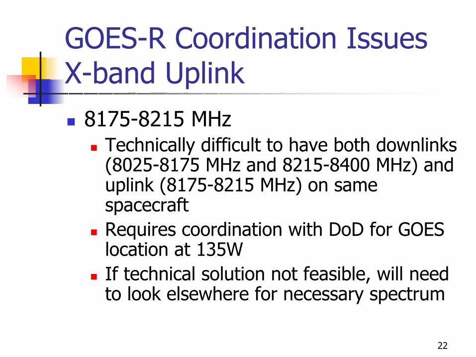
GOES-R Coordination Issues X-band Uplink
8175-8215 MHzTechnically difficult to have both downlinks (8025-8175 MHz and 8215-8400 MHz) and uplink (8175-8215 MHz) on same spacecraftRequires coordination with DoD for GOES location at 135WIf technical solution not feasible, will need to look elsewhere for necessary spectrum

23
GOES-R Proposed L-band Spectrum Realignment
Need to provide as much processed (re-broadcast) data from advanced instruments as possible1683-1698 MHz is only available spectrum to provide service without significant limitationsAlso need to accommodate auxiliary services (LRIT, EMWIN, DCP and telemetry) in 15 MHz band

24
L-band Usage for GOES N-P
1675 1680 1685 1690 1695 1700 1705 1710
The Band 1695 MHz to 1710 MHz isUsed For 3 POES Downlinks (capacity = 2.66 Mbps each)
UQPSK+/-2.62MHz
BPSK+/-2.1 MHz
1698.0 MHz
BPSK±2.66 MHz
1702.5 MHz 1707.0 MHz
BPSK±2.66 MHz
BPSK±2.66 MHz
SD2.62 Mbps
1676.0 MHz
MDL0.4 Mbps
1681.478 MHz
PDR2.11 Mbps
1685.7 MHz
LRIT293 kbps
1691.0 MHz
EMWIN34.5 kbps
1692.7 MHz
CDATelemetry
1694.0 MHzDCPR
1694.3 Mhz to1695.0 MHz
Ch 1 Ch 2 Ch 3 Ch 4
Radiosondeallocation
in the USA1675 to 1683 MHz
LRIT: 128 kbps (user) 293 kbps (RF)EMWIN: 19.2 kbps (user) 34.5 kbps (RF)

25
GOES R L-band Downlinks:One Proposed Configuration
1660 1675 1680 1685 1690 1695 1700 1705 1710
169 8 to 1 710 M Hz is allocated to
NG SO M ETSATS
LRITQPSK
1696.4 MH z
CDATelem etry
1672.0 Mhzand
1673.0 MH z
EMWINQPSK
1695.7 MH z
DCPR1697.2 to
1698.0 MH z
Ch 1 Ch 2 Ch 3 Ch 4
Ra dioAstro no my
band
1670
167 5 to 1 683 M Hzis a llo ca te d toRa dio so nd es
in th e USA
1 683 to 169 5 M Hzis a va ila ble for G RB
16 95 16 96 16 97 16 98
EM W IN LR IT D CPR
640 kHz 120 600 kHz340 800 kHz500 kHz
P roposedNM AO Relay
1674.0 to1674.5 MH z
1697.20
1696.70
1696.10
1696.40
1695.701695.76
1695.64
LR IT: 256 kbps (user) 586 kbps (RF)EMW IN: 56 kbps (user) 128 kbps (R F)

26
CITELInter-American Telecommunication Commission (CITEL)Part of Organization of American States (OAS)Website: http://www.citel.oas.org/21 CITEL membersPCC-III (Permanent Consultative Committee III) concerned with radio frequenciesStandards coordination, planning and full and efficient use of radio spectrum and satellite orbitsRequest support of metsat radio frequencies through CITEL representative

27
SummaryProcess exists to coordinate use of radio spectrum through ITU and domestic frequency regulationsSuch coordination can lead to harmonious use of same frequency band by several satellite systemsUse of frequencies on NPOESS for LRD and HRD will require international coordination with other metsat systemsGOES-R spectrum needs still evolving, but initial investigations indicate possible frequencies to meet anticipated spectrum requirements