Embed Size (px)
Citation preview
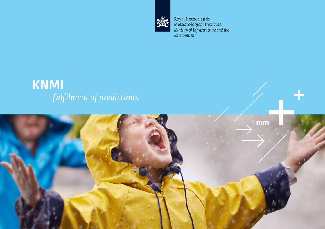
KNMIfulf ilment of predictions
The Royal Netherlands Meteorological Institute (KNMI) – Introduction
We warn and advise the Dutch public and furnish
our customers, which include ministries, the aviation
sector, private weather companies and international
partners, with knowledge and data. Supercomputers,
sophisticated satellite instruments and radars help
us to closely monitor air quality, the ozone layer,
earthquakes, dangerous weather and volcanoes.
However, our view goes well beyond that, too. The
future weather forecast for 2050, for example. How
is the climate developing, how high do the dykes
need to be, and should the Netherlands perhaps build
and construct in a different way? Connecting today’s
insights with tomorrow’s outlook is what it’s all about.
Providing society with knowledge on weather, climate and seismology is our core mission and
what motivates our meteorologists, climate scientists and seismologists. The interest of their work
is to make sure that citizens and authorities are not surprised by geophysical risks. KNMI provides
severe weather warnings for today and the best climate change scenarios for tomorrow.
A favourable climate for research and innovation
A small country can do great things. Dutch climate
research is recognised as state-of-the art, which isn’t
so surprising. A large part of the Netherlands is below
sea level, which makes research on climate change
vitally important. The reliability of this research gives
the Netherlands another valuable export product:
climate advice.
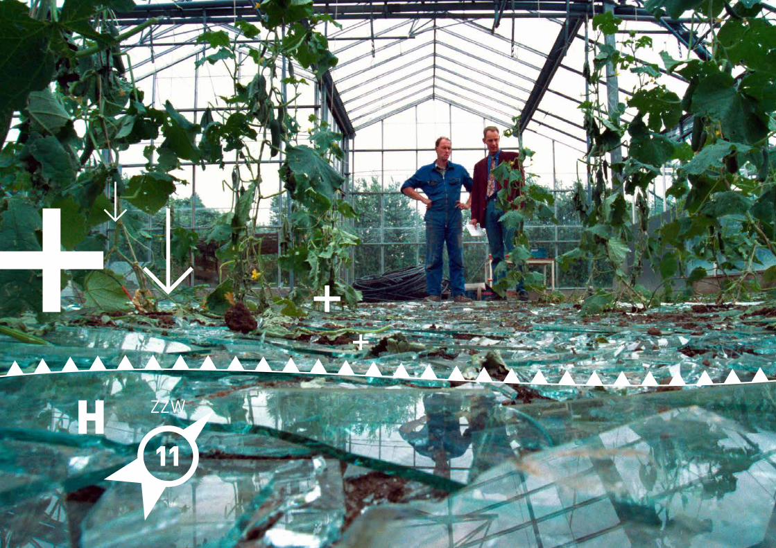
On the home front, KNMI encourages municipalities to
adapt to climate change, most notably to downpours
and rising temperatures in cities. Partly based on
information provided by KNMI, they are reconfiguring
sewer systems to accommodate future extremes in
rainfall. We advise the municipality of Utrecht on the
layout of the city centre. How do we keep the city
centre a pleasant place to live, work and play, even on
hot days? We also advise municipalities on air quality
on school routes for children travelling by bicycle.
At the national level, KNMI advises the Delta
Programme Commissioner and Rijkswaterstaat,
responsible authorities to protect the Netherlands
from flooding. For example, about the potential risks
that our country faces with respect to the rising sea
level in combination with changes in wind direction
and speed. KNMI expertise was used for the final
component of the Delta Works: the Maeslantkering
storm surge barrier. In the event of high water, two
huge doors are shut to protect the province of Zuid-
Holland from flooding. The periodic dyke and coastal
reinforcements along the coast were also based on a
risk analysis by KNMI.
Today, the combination of knowledge on climate
scenarios and experience with water management is
explored by KNMI all over the world.
Climate advice you can build on
The energy forecast for tomorrow
KNMI - Weather and climate
30°

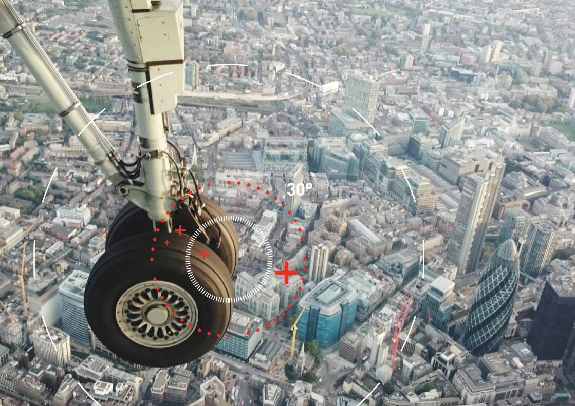
In the aviation sector, safety is of huge importance.
Given the strong competition, efficiency is that too.
KNMI is closely involved with both. Every runway
at Schiphol airport has its own set of measuring
instruments and a meteorologist is directly connected
with air traffic control and the airport.
KNMI scientists are internationally recognised for
developing innovative applications and for gathering
and analysing data. This triggered the aviation industry
to approach KNMI about working together in a project
based on a novel idea: Can we use every aircraft as a
weather station?
The initial results showed that aircrafts provide a
wealth of information about different layers of the
atmosphere. All aircraft-derived data is received at
De Bilt. KNMI receives information about wind speed,
temperature and atmospheric humidity for millions of
points in the atmosphere. We process all of the data
in weather models and forward the model output to
air traffic control. This enables them to coordinate
the planes coming in for landing with more precision,
which reduces delays in the holding areas above the
airport.
For the aviation sector, this has socio-economic as well
as environmental benefits. It saves time and fuel for
airlines, and passengers spend less time waiting. Just
as importantly, flying more efficiently also means lower
CO2 emissions. Environmental benefit is noticeable on
the ground, too. Aircrafts that enter into a glide at an
early stage make less noise.
Over a million flying weather stations
Visibility at Schiphol airport is of
vital importance. In addition to
all information on screens, KNMI
observers at Schiphol also look
out the window using binoculars,
mostly looking for a specific type of
cloud: the Towering Cumulus Cloud.
Just like ships that sail around
icebergs, planes must avoid these
clouds. The strong movements in
different directions in this type of
cloud cause severe turbulence and
may damage an aircraft.
Radar, screen and...binoculars
KNMI - Aviation
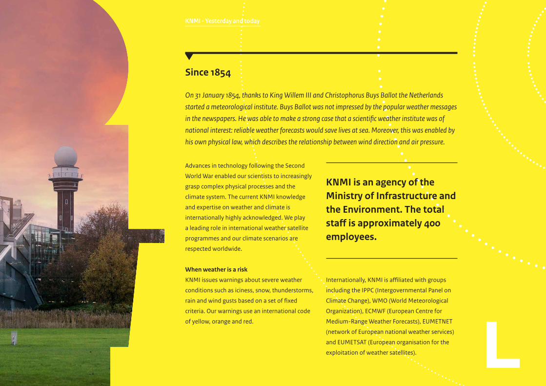
KNMI - Yesterday and today
Advances in technology following the Second
World War enabled our scientists to increasingly
grasp complex physical processes and the
climate system. The current KNMI knowledge
and expertise on weather and climate is
internationally highly acknowledged. We play
a leading role in international weather satellite
programmes and our climate scenarios are
respected worldwide.
When weather is a risk
KNMI issues warnings about severe weather
conditions such as iciness, snow, thunderstorms,
rain and wind gusts based on a set of fixed
criteria. Our warnings use an international code
of yellow, orange and red.
Internationally, KNMI is affiliated with groups
including the IPPC (Intergovernmental Panel on
Climate Change), WMO (World Meteorological
Organization), ECMWF (European Centre for
Medium-Range Weather Forecasts), EUMETNET
(network of European national weather services)
and EUMETSAT (European organisation for the
exploitation of weather satellites).
KNMI is an agency of the Ministry of Infrastructure and the Environment. The total staff is approximately 400 employees.
Since 1854
On 31 January 1854, thanks to King Willem III and Christophorus Buys Ballot the Netherlands
started a meteorological institute. Buys Ballot was not impressed by the popular weather messages
in the newspapers. He was able to make a strong case that a scientific weather institute was of
national interest: reliable weather forecasts would save lives at sea. Moreover, this was enabled by
his own physical law, which describes the relationship between wind direction and air pressure.
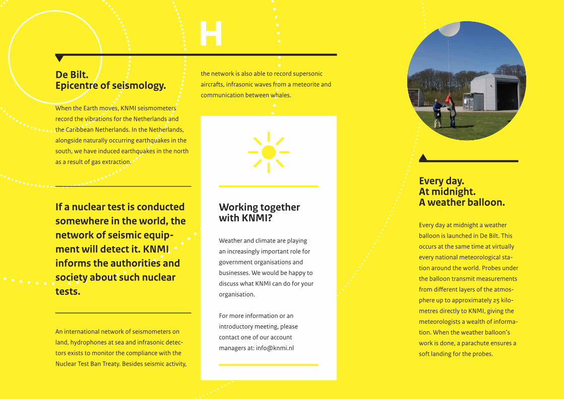
Every day.At midnight.A weather balloon.
Every day at midnight a weather
balloon is launched in De Bilt. This
occurs at the same time at virtually
every national meteorological sta-
tion around the world. Probes under
the balloon transmit measurements
from different layers of the atmos-
phere up to approximately 25 kilo-
metres directly to KNMI, giving the
meteorologists a wealth of informa-
tion. When the weather balloon’s
work is done, a parachute ensures a
soft landing for the probes.
Working together with KNMI?
Weather and climate are playing
an increasingly important role for
government organisations and
businesses. We would be happy to
discuss what KNMI can do for your
organisation.
For more information or an
introductory meeting, please
contact one of our account
managers at: [email protected]
De Bilt. Epicentre of seismology.
When the Earth moves, KNMI seismometers
record the vibrations for the Netherlands and
the Caribbean Netherlands. In the Netherlands,
alongside naturally occurring earthquakes in the
south, we have induced earthquakes in the north
as a result of gas extraction.
If a nuclear test is conducted somewhere in the world, the network of seismic equip-ment will detect it. KNMI informs the authorities and society about such nuclear tests.
An international network of seismometers on
land, hydrophones at sea and infrasonic detec-
tors exists to monitor the compliance with the
Nuclear Test Ban Treaty. Besides seismic activity,
the network is also able to record supersonic
aircrafts, infrasonic waves from a meteorite and
communication between whales.
KNMI - Satellite programme
Mapping the level of concentration of air polluting
particles over land and sea is possible – every day
and above the entire globe. The latest generation of
satellites is so precise that emissions can be linked to
an area and in some cases even to a power station or
factory. Satellite images may have tremendous impact
on public understanding. The ozone layer debate is one
example. Ground measurements had long shown that
the ozone layer was diminishing. Only when this was
visible on satellite images the public opinion changed.
Satellites provide similar recognition of air pollution.
Thanks to satellite imagery, countries are now actively
trying to lower emissions. The KNMI scientists can see
from space that this works.
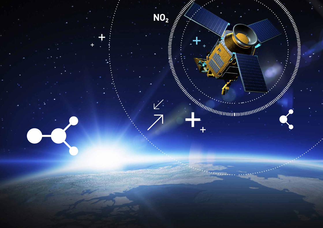
Using the high-tech TROPOMI satellite instrument
it is possible to measure the difference in air quality
between the harbour of Rotterdam and the city centre.
Together with industrial and scientific partners we are
working hard on the next generation satellites that
will provide images with a resolution of 1 x 1 kilometre.
The development and launch of TROPOMI is the result
of close European cooperation under the scientific
leadership of KNMI. TROPOMI is the successor of OMI,
which started orbiting the earth in 2004. With a detail
that is six times as high compared to OMI, TROPOMI
is able to map even more accurate and precisely the
substances that are important for air quality, the ozone
layer and climate change.
The first European ozone instrument of 20 years ago
viewed the world in samples as big as the Netherlands.
TROPOMI measures samples of 7 x 7 kilometres
and provides extremely reliable data about the
concentrations of substances including ozone, nitrogen
dioxide, sulphur dioxide, methane and particulate
matter in the atmosphere.
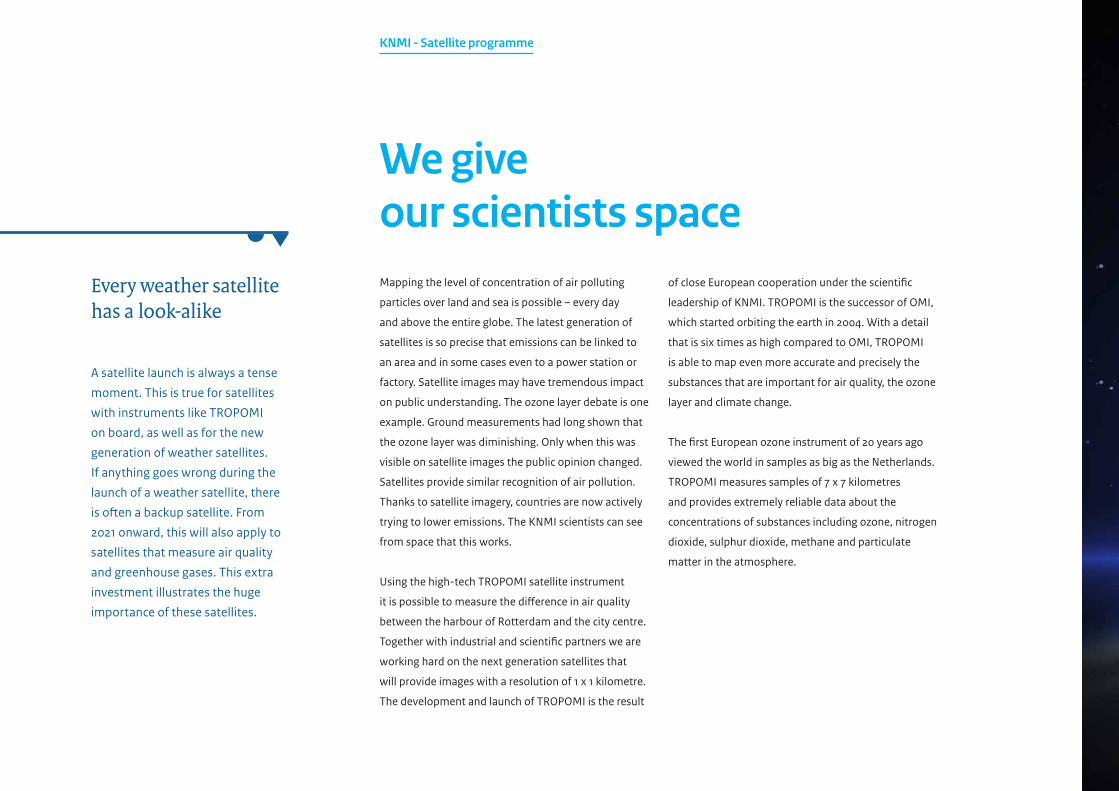
We give our scientists space
A satellite launch is always a tense
moment. This is true for satellites
with instruments like TROPOMI
on board, as well as for the new
generation of weather satellites.
If anything goes wrong during the
launch of a weather satellite, there
is often a backup satellite. From
2021 onward, this will also apply to
satellites that measure air quality
and greenhouse gases. This extra
investment illustrates the huge
importance of these satellites.
Every weather satellite has a look-alike

This is a publication of
KNMI
PO Box 201 | 3730 AE De BiltThe Netherlandswww.knmi.nl
February 2017