Embed Size (px)
Citation preview

Geographic Information Geographic Information SystemsSystems
SGO 1910, SGO 4030SGO 1910, SGO 4030
October 10, 2006October 10, 2006

UpdatesUpdates
Midterm quiz 1 (will be returned next week)Midterm quiz 1 (will be returned next week) ArcGIS CDs – Geodata will give us more, and ArcGIS CDs – Geodata will give us more, and
I hope to pick them up before next week.I hope to pick them up before next week. GIS Day – November 15GIS Day – November 15 Oslo Project: Will be described next week – Oslo Project: Will be described next week –
please start thinking about groups (of 3).please start thinking about groups (of 3).

Masters students: start thinking about papers Masters students: start thinking about papers as an alternative to the Oslo Project (both are as an alternative to the Oslo Project (both are options)options)
Read Steinberg and SteinbergRead Steinberg and Steinberg


Where are we?Where are we?
What is GIS?What is GIS? Geographic representations: discrete objects Geographic representations: discrete objects
and fieldsand fields Digital representations: vector and raster Digital representations: vector and raster
modelsmodels Geographic data: scale, spatial autocorrelation, Geographic data: scale, spatial autocorrelation,
sampling, interpolationsampling, interpolation Georeferencing systemsGeoreferencing systems Map projections Map projections

Where are we going?Where are we going?
One more theoretical issue: uncertaintyOne more theoretical issue: uncertainty
Then onto more practical issues: Then onto more practical issues: GIS data collection (including GPS)GIS data collection (including GPS) GIS databasesGIS databases Cartography and map production Cartography and map production Geographical analysisGeographical analysis GIS and societyGIS and society

UncertaintyUncertainty

Uncertainty arises from the way that we Uncertainty arises from the way that we conceive of the world (geographic conceive of the world (geographic representation), how we measure and represent representation), how we measure and represent it (digital model), and how we analyze the it (digital model), and how we analyze the representations. representations.
All of these add up – uncertainty increases All of these add up – uncertainty increases from the start of the project to the end. from the start of the project to the end.


Terms to considerTerms to consider
Error (differences between observers or between Error (differences between observers or between measuring instruments)measuring instruments)
Accuracy (difference between reality and Accuracy (difference between reality and ourour representation of reality)representation of reality)
Precision (the repeatability of measurements)Precision (the repeatability of measurements) Quality (attribute accuracy, positional accuracy, Quality (attribute accuracy, positional accuracy,
logical consistency, completelness, and lineage)logical consistency, completelness, and lineage)

Filter 1: ConceptionFilter 1: Conception
Spatial uncertaintySpatial uncertainty Do NaturalDo Natural geographic units exist? geographic units exist? Scales for bivariate/multivariate analyses?Scales for bivariate/multivariate analyses? Discrete objects more reliant on “natural units”Discrete objects more reliant on “natural units”
Vagueness (in boundaries, membership)Vagueness (in boundaries, membership) Statistical, cartographic, cognitiveStatistical, cartographic, cognitive
AmbiguityAmbiguity Different labels by different national or cultural groups, Different labels by different national or cultural groups,
language (GIS is not value-neutral!!)language (GIS is not value-neutral!!)

IndicatorsIndicators
Direct – a clear correspondence with mapped Direct – a clear correspondence with mapped phenomenonphenomenon
Indirect (or proxy) – best available measureIndirect (or proxy) – best available measure Selection of indicators is subjectiveSelection of indicators is subjective Differences in definitions are a major Differences in definitions are a major
impediment to integration of geographic data impediment to integration of geographic data over wide areasover wide areas
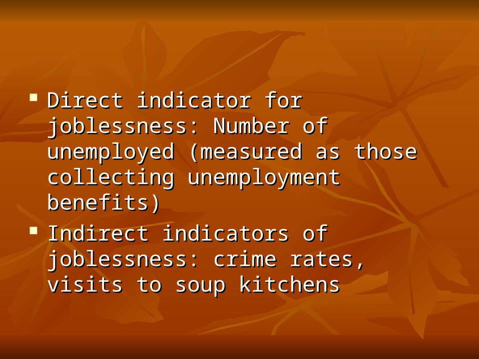
Direct indicator for joblessness: Number of Direct indicator for joblessness: Number of unemployed (measured as those collecting unemployed (measured as those collecting unemployment benefits)unemployment benefits)
Indirect indicators of joblessness: crime rates, Indirect indicators of joblessness: crime rates, visits to soup kitchens visits to soup kitchens

Fuzzy Approaches to UncertaintyFuzzy Approaches to Uncertainty
In fuzzy set theory, it is possible to have In fuzzy set theory, it is possible to have partial membership in a setpartial membership in a set membership can vary, e.g. from 0 to 1membership can vary, e.g. from 0 to 1 this adds a third option to classification: yes, no, this adds a third option to classification: yes, no,
and maybeand maybe Fuzzy approaches have been applied to the Fuzzy approaches have been applied to the
mapping of soils, vegetation cover, land use, mapping of soils, vegetation cover, land use, and vulnerabilityand vulnerability


Scale & Geographic IndividualsScale & Geographic Individuals
RegionsRegions Uniformity (internal homogeneity)Uniformity (internal homogeneity) Functional zones (boundaries as breakpoints)Functional zones (boundaries as breakpoints)
Relationships typically grow stronger when Relationships typically grow stronger when based on larger geographic unitsbased on larger geographic units

Scale and Spatial Scale and Spatial AutocorrelationAutocorrelation
No. of geographicNo. of geographic CorrelationCorrelation
areasareas
4848 .2189.2189
2424 .2963.2963
1212 .5757.5757
66 .7649.7649
33 .9902.9902


Filter 2: Filter 2: Measurement/representationMeasurement/representation
Representational models filter reality Representational models filter reality differentlydifferently Vector (requires a priori conceptualization of Vector (requires a priori conceptualization of
geographic features as discrete objects)geographic features as discrete objects) Raster (boundaries seldom resemble natural Raster (boundaries seldom resemble natural
features, but convenient and efficient…)features, but convenient and efficient…)

0.9 – 1.0
0.5 – 0.9
0.1 – 0.5
0.0 – 0.1

Other issuesOther issues
Measurements only Measurements only accurateaccurate to a limited to a limited extentextent
‘‘Continuous’ scales are in practice discreteContinuous’ scales are in practice discrete Discrete isopleth/choropleth map displayDiscrete isopleth/choropleth map display Choropleth mapping in multivariate casesChoropleth mapping in multivariate cases Box 4.3 explains the difference!Box 4.3 explains the difference!

Spatially Intensive versus Extensive Spatially Intensive versus Extensive VariablesVariables
Choropleth maps use values describing properties of Choropleth maps use values describing properties of non-overlapping areas (municipalities, states, non-overlapping areas (municipalities, states, countries)countries)
Extensive variables: values true for the entire area are Extensive variables: values true for the entire area are the same color: E.g. Total populationthe same color: E.g. Total population
Intensive variables: values could potentially be true Intensive variables: values could potentially be true for every part of the area (but actuall represent an for every part of the area (but actuall represent an average). E.g. Population density. average). E.g. Population density.

Measurement ErrorMeasurement Error
Digitizing errorsDigitizing errors Automated solutionsAutomated solutions Conflation of adjacent map sheetsConflation of adjacent map sheets


Data Integration and LineageData Integration and Lineage
ConcatenationConcatenation E.g. polygon overlayE.g. polygon overlay
ConflationConflation E.g. rubber sheetingE.g. rubber sheeting
Persistent error indicates shared lineagePersistent error indicates shared lineage Errors tend to exhibit strong positive spatial Errors tend to exhibit strong positive spatial
autocorrelationautocorrelation


Filter 3: AnalysisFilter 3: Analysis
Can good spatial analysis develop on uncertain Can good spatial analysis develop on uncertain foundations?foundations? Can rarely correct Can rarely correct sourcesource More usually tackle More usually tackle operation operation (internal validation)(internal validation) Conflation/concatenation allows Conflation/concatenation allows external validation external validation of of
zonal averaging effectszonal averaging effects Error propagation measures impacts of uncertainty in Error propagation measures impacts of uncertainty in
data on the resultsdata on the results

Ecological FallacyEcological Fallacy
Inappropriate inference from aggregate data Inappropriate inference from aggregate data about the characteristics of individualsabout the characteristics of individuals
Fundamental difference between geography Fundamental difference between geography and other scientific disciplines is that and other scientific disciplines is that definitions of objects of study is almost always definitions of objects of study is almost always ambiguous.ambiguous.

Modifiable Areal Unit Problem Modifiable Areal Unit Problem (MAUP)(MAUP)
Scale + aggregation = MAUPScale + aggregation = MAUP can be can be investigatedinvestigated through simulation of large through simulation of large
numbers of alternative zoning schemesnumbers of alternative zoning schemes Apparent spatial distributions which are Apparent spatial distributions which are
unrepresentative of the scale and configuration of unrepresentative of the scale and configuration of real-world geographic phenomena (example: urban real-world geographic phenomena (example: urban density)density)

SummarySummary
Uncertainty is more than errorUncertainty is more than error Richer representations can Richer representations can createcreate uncertainty! uncertainty! Need for Need for a prioria priori understanding of data and understanding of data and
sensitivity analysissensitivity analysis Spatial analysis is often context-sensitive (you Spatial analysis is often context-sensitive (you
need to know your data and place!)need to know your data and place!)

Living with UncertaintyLiving with Uncertainty
Acknowledge that uncertainty is inevitableAcknowledge that uncertainty is inevitable Data should never be taken as truth (assess whether it Data should never be taken as truth (assess whether it
is suitable)is suitable) Uncertainties in outputs may exceed uncertainties in Uncertainties in outputs may exceed uncertainties in
inputs because many GIS processes are highly non-inputs because many GIS processes are highly non-linearlinear
Rely on multiple sources of dataRely on multiple sources of data Be honest and informative in reporting the results of Be honest and informative in reporting the results of
GIS analysis.GIS analysis.

The more scientific knowledge we gain, the more uncertain we are likely to be: “Richness of representation and computational power only make us more aware of the range and variety of established uncertainties, and challenge us to integrate new ones” (Longley et al. 2005, p. 152).
Data Acquisition:Data Acquisition:Getting the Map Getting the Map
into the Computerinto the Computer

Data transferData transfer
Input of data from other systems (via Internet, Input of data from other systems (via Internet, CD ROMs, tapes, etc.)CD ROMs, tapes, etc.)

Data captureData capture
Primary (direct measurement, e.g. remote Primary (direct measurement, e.g. remote sensing and surveying)sensing and surveying)
Secondary (derivation from other sources; Secondary (derivation from other sources; digitizing, scanning, etc.)digitizing, scanning, etc.)

GIS maps are digitalGIS maps are digital
Real maps: traditional paper maps that can be Real maps: traditional paper maps that can be touchedtouched
Virtual maps: an arrangement of information Virtual maps: an arrangement of information inside the computer; the GIS can be used to inside the computer; the GIS can be used to generate the map however and whenever generate the map however and whenever necessary. necessary.

GIS Data ConversionGIS Data Conversion
Traditionally the Traditionally the most time-consuming and most time-consuming and expensive part expensive part of a GIS projectof a GIS project
Involves a one-time Involves a one-time costcost Digital maps can be reused and shared.Digital maps can be reused and shared. Requires maintenanceRequires maintenance (eg. updating) (eg. updating)

GIS data can beGIS data can be
Purchased.Purchased. Found from existing sources in digital form.Found from existing sources in digital form. Captured from analog maps by Captured from analog maps by GGEOCODING.EOCODING.
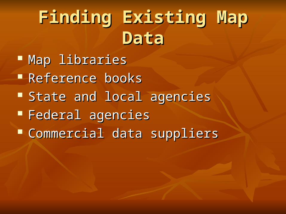
Finding Existing Map DataFinding Existing Map Data
Map librariesMap libraries Reference booksReference books State and local agenciesState and local agencies Federal agenciesFederal agencies Commercial data suppliersCommercial data suppliers

Existing Map DataExisting Map Data
Existing map data can be found through a map Existing map data can be found through a map library, via network searches, or on media library, via network searches, or on media such as CD-ROM and disk.such as CD-ROM and disk.
Many major data providers make their data Many major data providers make their data available via the Internet.available via the Internet.

StatenskartverkStatenskartverkhttp://ngis.statkart.no/katalog/java/katalog.asphttp://ngis.statkart.no/katalog/java/katalog.asp
RasterdataRasterdata TemakartTemakart VektordataVektordata PrimærdataPrimærdata ProsjekterProsjekter

1. Accessing GIS Data1. Accessing GIS Data
Example: Costa RicaExample: Costa Rica


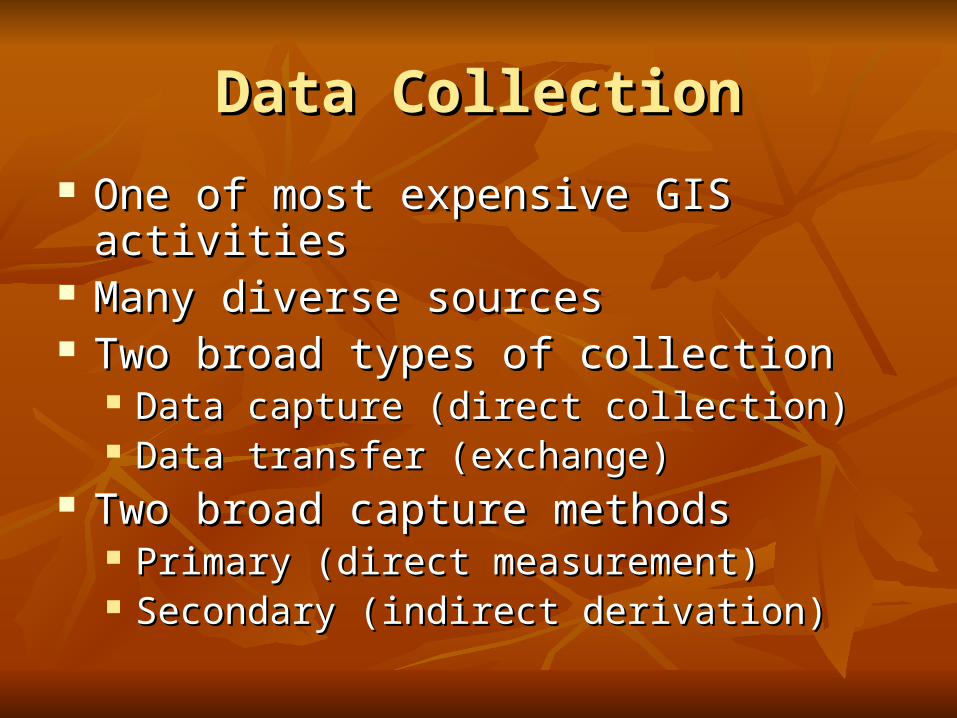
Data CollectionData Collection
One of most expensive GIS activitiesOne of most expensive GIS activities Many diverse sourcesMany diverse sources Two broad types of collectionTwo broad types of collection
Data capture (direct collection)Data capture (direct collection) Data transfer (exchange)Data transfer (exchange)
Two broad capture methodsTwo broad capture methods Primary (direct measurement)Primary (direct measurement) Secondary (indirect derivation)Secondary (indirect derivation)

Data Collection Techniques Data Collection Techniques
RasterRaster VectorVector
PrimaryPrimary Digital remote Digital remote sensing imagessensing images
GPS measurementsGPS measurements
Digital aerial Digital aerial photographsphotographs
Survey Survey measurementsmeasurements
SecondarySecondary Scanned mapsScanned maps Topographic Topographic surveyssurveys
DEMs from mapsDEMs from maps Toponymy data Toponymy data sets from atlasessets from atlases

Toponymy?Toponymy?
ToponymyToponymy is the scientific study of is the scientific study of toponymstoponyms (place-names), their origins, meanings, use and (place-names), their origins, meanings, use and typology. The word is derived from the typology. The word is derived from the GreekGreek τόπος τόπος topostopos, place, and oνομα , place, and oνομα ōnomaōnoma, name. It is itself a , name. It is itself a branch of branch of onomasticsonomastics, the study of names of all kinds., the study of names of all kinds.
A toponym is a A toponym is a namename of a locality, region, or some of a locality, region, or some other part of Earth's surface or an artificial feature. In other part of Earth's surface or an artificial feature. In some cultures, most or all such place names have a some cultures, most or all such place names have a definite meaning in the language; this is not the case, definite meaning in the language; this is not the case, generally, for place names in the generally, for place names in the EnglishEnglish languagelanguage..

GEOCODINGGEOCODING
Geocoding is the conversion of spatial Geocoding is the conversion of spatial information into digital form.information into digital form.
Geocoding involves capturing the map, and Geocoding involves capturing the map, and sometimes also capturing the attributes.sometimes also capturing the attributes.

Primary Data CapturePrimary Data Capture
Capture specifically for GIS useCapture specifically for GIS use Raster – remote sensingRaster – remote sensing
e.g. SPOT and IKONOS satellites and aerial photographye.g. SPOT and IKONOS satellites and aerial photography Passive and active sensorsPassive and active sensors
Resolution is key considerationResolution is key consideration SpatialSpatial SpectralSpectral TemporalTemporal

Secondary Geographic Data Secondary Geographic Data CaptureCapture
Data collected for other purposes can be Data collected for other purposes can be converted for use in GISconverted for use in GIS
Raster conversionRaster conversion Scanning of maps, aerial photographs, documents, Scanning of maps, aerial photographs, documents,
etcetc Important scanning parameters are spatial and Important scanning parameters are spatial and
spectral (bit depth) resolutionspectral (bit depth) resolution

Vector Primary Data CaptureVector Primary Data Capture
SurveyingSurveying Locations of objects determines by angle and distance Locations of objects determines by angle and distance
measurements from known locationsmeasurements from known locations Uses expensive field equipment and crewsUses expensive field equipment and crews Most accurate method for large scale, small areasMost accurate method for large scale, small areas
GPSGPS Collection of satellites used to fix locations on Earth’s Collection of satellites used to fix locations on Earth’s
surfacesurface Differential GPS used to improve accuracyDifferential GPS used to improve accuracy

Vector Secondary Data CaptureVector Secondary Data Capture Collection of vector objects from maps, photographs, Collection of vector objects from maps, photographs,
plans, etc.plans, etc. DigitizingDigitizing
Manual (table) Manual (table) Heads-up and vectorizationHeads-up and vectorization
Photogrammetry – the science and technology of Photogrammetry – the science and technology of making measurements from photographs, etc.making measurements from photographs, etc.
COGO – Coordinate GeometryCOGO – Coordinate Geometry

Managing Data Capture Managing Data Capture ProjectsProjects
Key principlesKey principles Clear plan, adequate resources, appropriate funding, and Clear plan, adequate resources, appropriate funding, and
sufficient timesufficient time Fundamental tradeoff between Fundamental tradeoff between
Quality, speed and priceQuality, speed and price Two strategiesTwo strategies
IncrementalIncremental ‘‘Blitzkrieg’ (all at once)Blitzkrieg’ (all at once)
Alternative resource optionsAlternative resource options In houseIn house Specialist external agencySpecialist external agency

SummarySummary
Data collection is very expensive, time-consuming, Data collection is very expensive, time-consuming, tedious and error pronetedious and error prone
Good procedures required for large scale collection Good procedures required for large scale collection projectsprojects
Main techniquesMain techniques PrimaryPrimary
Raster – e.g. remote sensingRaster – e.g. remote sensing Vector – e.g. field surveyVector – e.g. field survey
SecondarySecondary Raster – e.g. scanningRaster – e.g. scanning Vector – e.g. table digitizingVector – e.g. table digitizing

DigitizingDigitizing
Captures map data by tracing lines from a map Captures map data by tracing lines from a map by handby hand
Uses a cursor and an electronically-sensitive Uses a cursor and an electronically-sensitive tablettablet
Result is a string of points with (x, y) valuesResult is a string of points with (x, y) values

DigitizerDigitizer

The Digitizing TabletThe Digitizing Tablet
Digitizer cursor transmitsa pulse from an electomagneticcoil under the view lens.
Pulse is picked up bynearest grid wires undertablet surface.
Result is sent tocomputer afterconversion tox and y units.
map

DigitizingDigitizing
Stable base mapStable base map Fix to tabletFix to tablet Digitize controlDigitize control Determine coordinate transformationDetermine coordinate transformation Trace featuresTrace features Proof plotProof plot EditEdit Clean and buildClean and build

Selecting points to digitizeSelecting points to digitize

ScannerScanner

Scanning Scanning
Places a map on a glass plate, and passes a Places a map on a glass plate, and passes a light beam over itlight beam over it
Measures the reflected light intensityMeasures the reflected light intensity Result is a grid of pixelsResult is a grid of pixels Image size and resolution are importantImage size and resolution are important Features can “drop out”Features can “drop out”

Scanning exampleScanning example
This section of map was scanned, resulting in a file in TIF format that was bytes in size. This was a file of color intensities between 0 and 255 for red, green, and blue in each of three layers spaced on a grid 0.25 millimeter apart. How much data would be necessary to capture the features on your map as vectors? Would it be more or less than the grid (raster) file?

Field data collectionField data collection

Pen Portable PC and GPSPen Portable PC and GPS

Data TransferData Transfer
Buy vs build is an important questionBuy vs build is an important question Many widely distributed sources of GIMany widely distributed sources of GI Key catalogs includeKey catalogs include
US NSDI Clearinghouse networkUS NSDI Clearinghouse network Geography NetworkGeography Network
Access technologiesAccess technologies TranslationTranslation Direct readDirect read

Attribute data Attribute data
Logically can be thought of as in a flat fileLogically can be thought of as in a flat file Table with rows and columnsTable with rows and columns Attributes by recordsAttributes by records Entries called values.Entries called values.

Database Management SystemsDatabase Management Systems
Data definition module sets constraints on the attribute valuesData definition module sets constraints on the attribute values Data entry module to enter and correct valuesData entry module to enter and correct values Data management system for storage and retrievalData management system for storage and retrieval DData definitions can be listed as a data dictionaryata definitions can be listed as a data dictionary Database manager checks values with this dictionary, Database manager checks values with this dictionary,
enforcing data validation.enforcing data validation.

The Role of ErrorThe Role of Error
Map and attribute data errors are the data Map and attribute data errors are the data producer's responsibility, but the GIS user producer's responsibility, but the GIS user must understand error.must understand error.
Accuracy and precision of map and attribute Accuracy and precision of map and attribute data in a GIS affect all other operations, data in a GIS affect all other operations, especially when maps are compared across especially when maps are compared across scales.scales.