Embed Size (px)
Citation preview
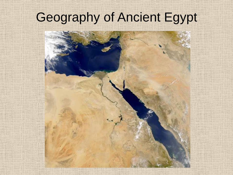
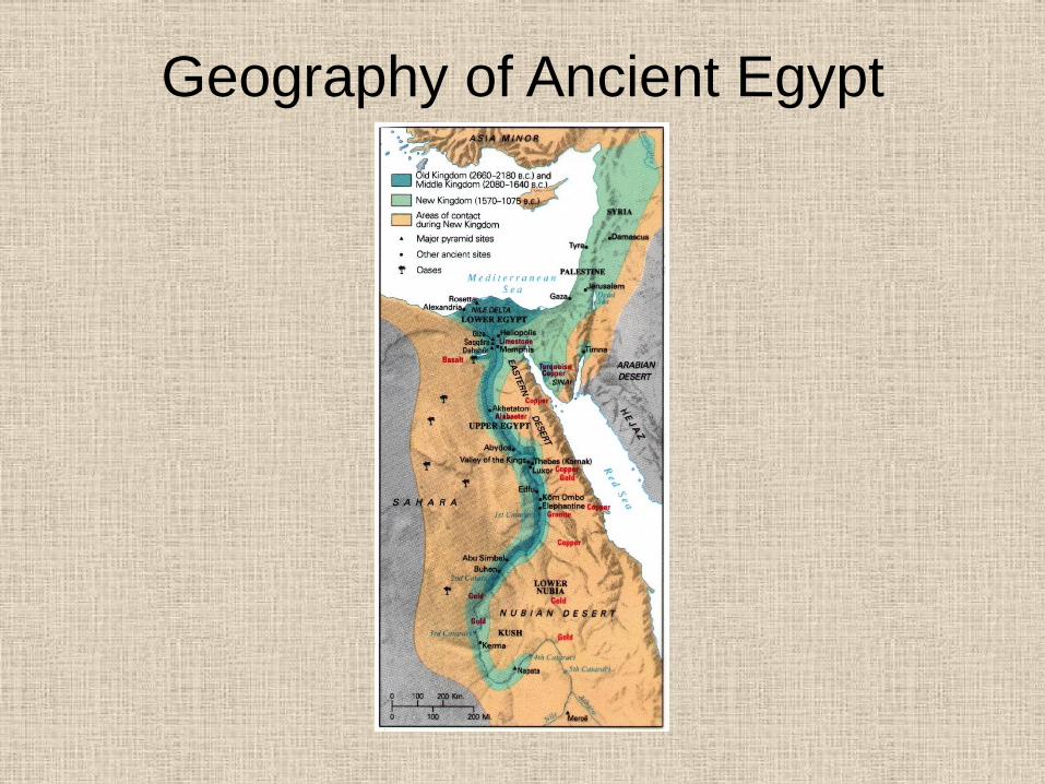
Geography of Ancient Egypt
Geography of Ancient Egypt
Geography of Ancient Egypt
Geography of Ancient Egypt
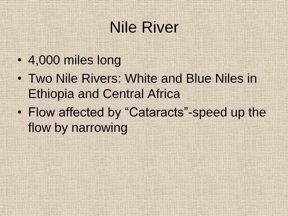
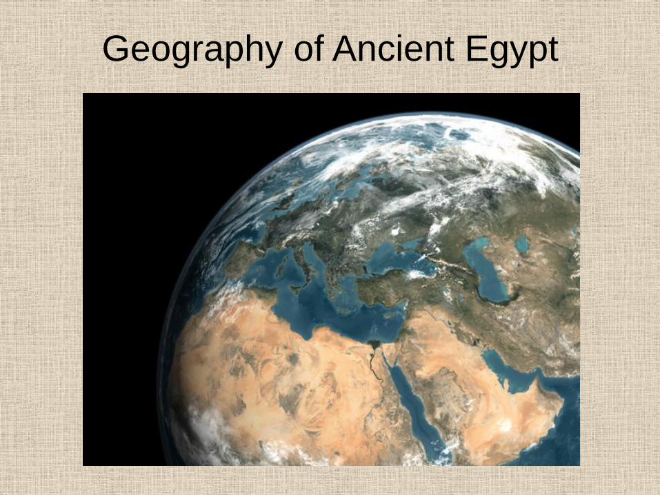
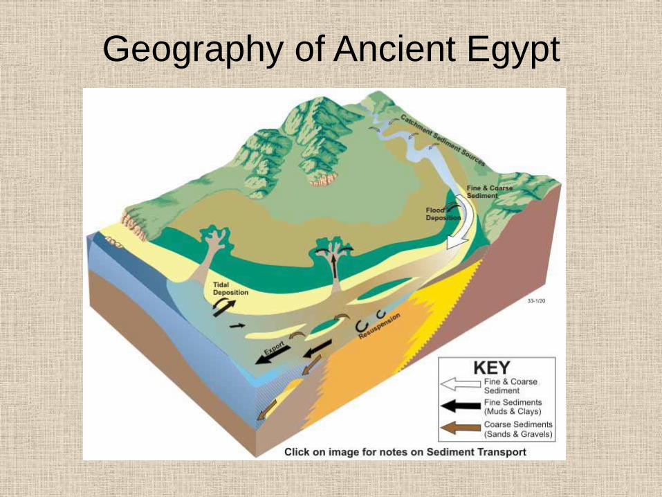
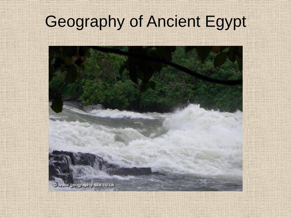
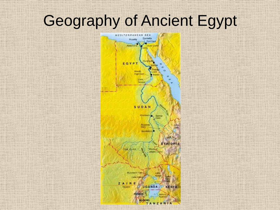
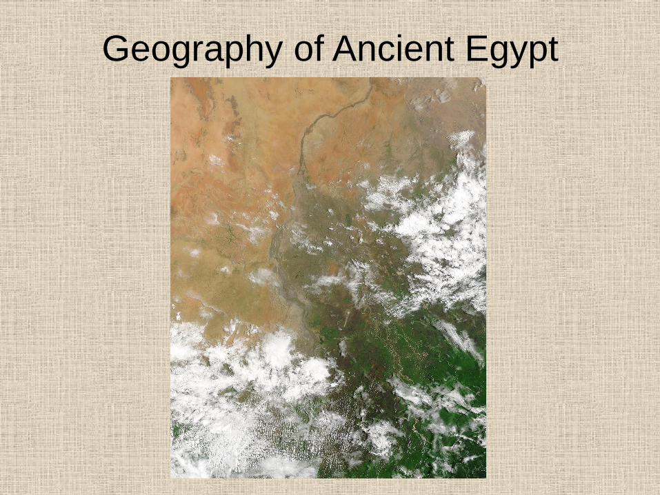
Nile River
• 4,000 miles long
• Two Nile Rivers: White and Blue Niles in
Ethiopia and Central Africa
• Flow affected by “Cataracts”-speed up the
flow by narrowing
Nile River
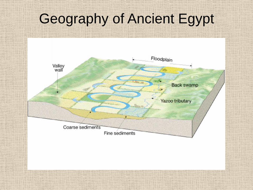
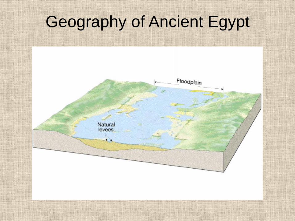
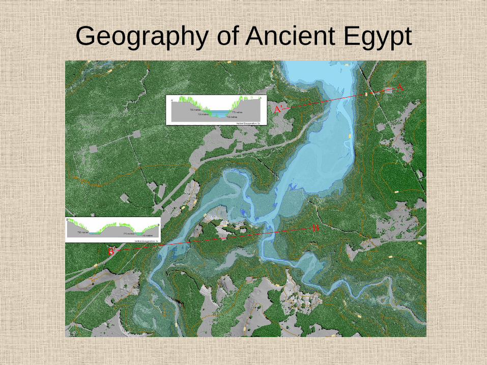
• Floods annually between June and
October-average flood depth of 45 feet
• Flood leaves rich deposits of soil on the
banks
• Nickname: “Gift of the Nile
Nile River
• Fertile strip on average only 12 miles
• Only major river which flows northward
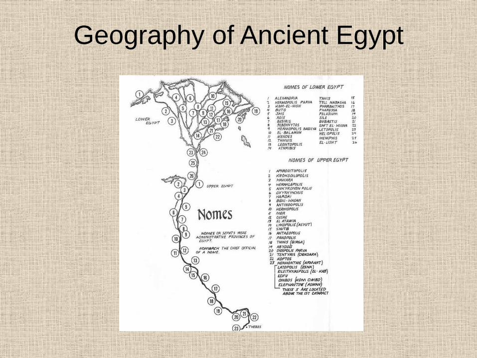
• Divides Egypt into:
– Southern part = “Upper Egypt”
– Northern part = “Lower Egypt”
Nile River
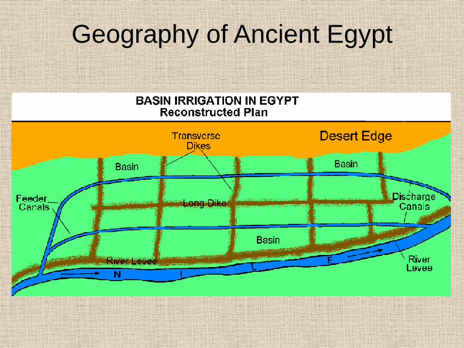
• Egyptians learned to build sophisticated
irrigation systems to maximize the use of
the Nile
• Mouth of the Nile forms a wide delta as it
enters the Mediterranean Sea
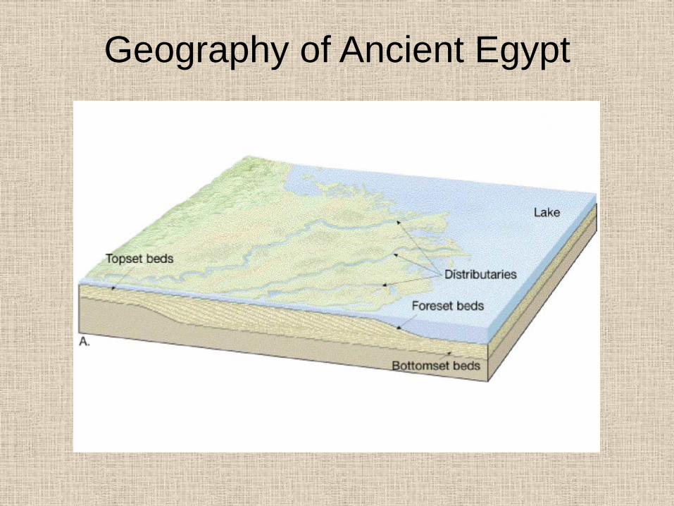
Geography of Ancient Egypt
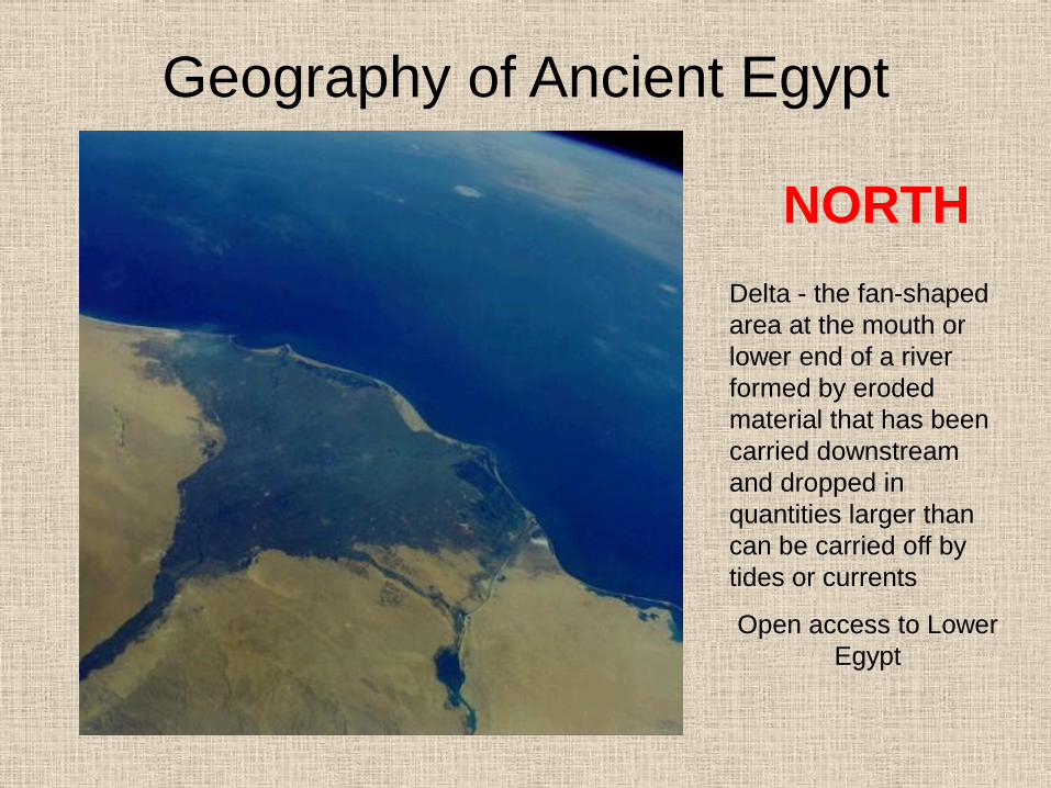
Geography of Ancient Egypt
NORTH
Delta - the fan-shaped
area at the mouth or
lower end of a river
formed by eroded
material that has been
carried downstream
and dropped in
quantities larger than
can be carried off by
tides or currents
Open access to Lower
Egypt
Geography of Ancient Egypt
Geography of Ancient Egypt
Geography of Ancient Egypt
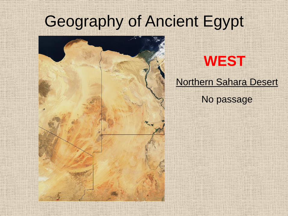
WEST
Northern Sahara Desert
No passage
Geography of Ancient Egypt
Geography of Ancient Egypt
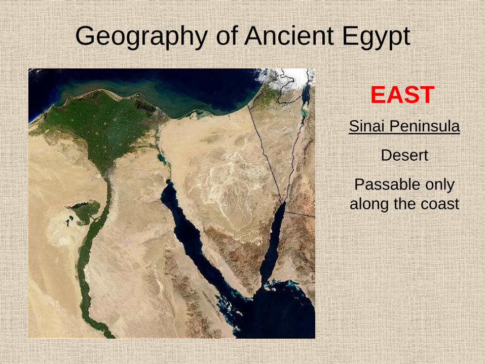
EAST
Sinai Peninsula
Desert
Passable only
along the coast
Geography of Ancient Egypt
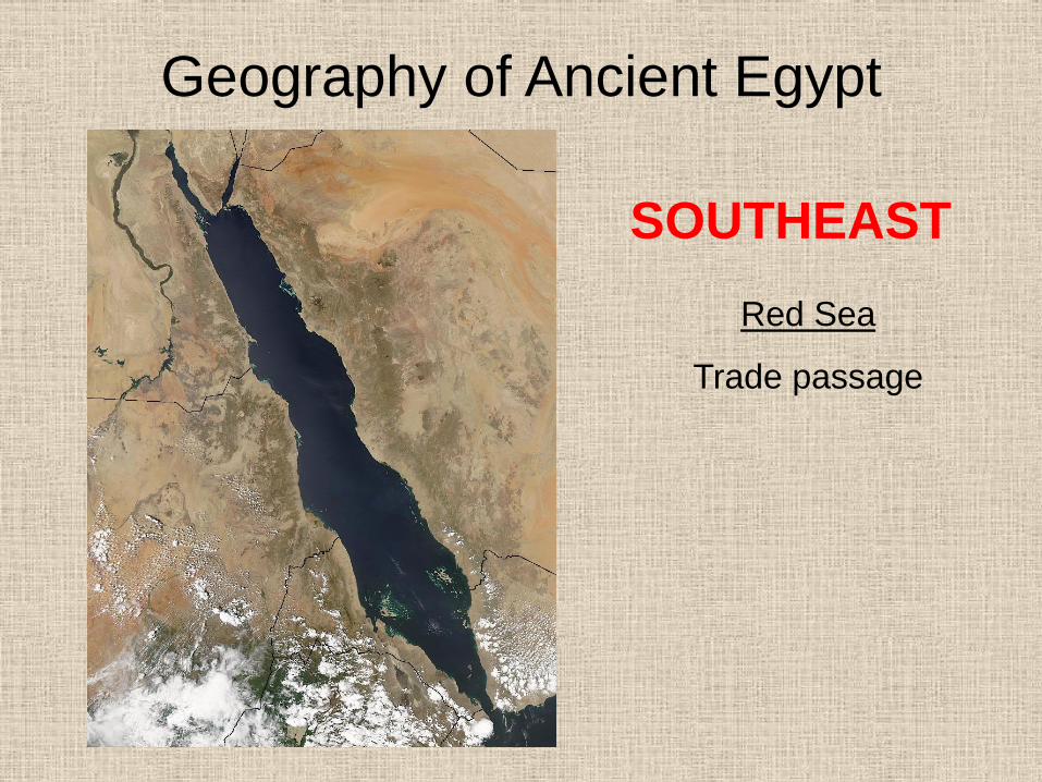
SOUTHEAST
Red Sea
Trade passage
Geography of Ancient Egypt
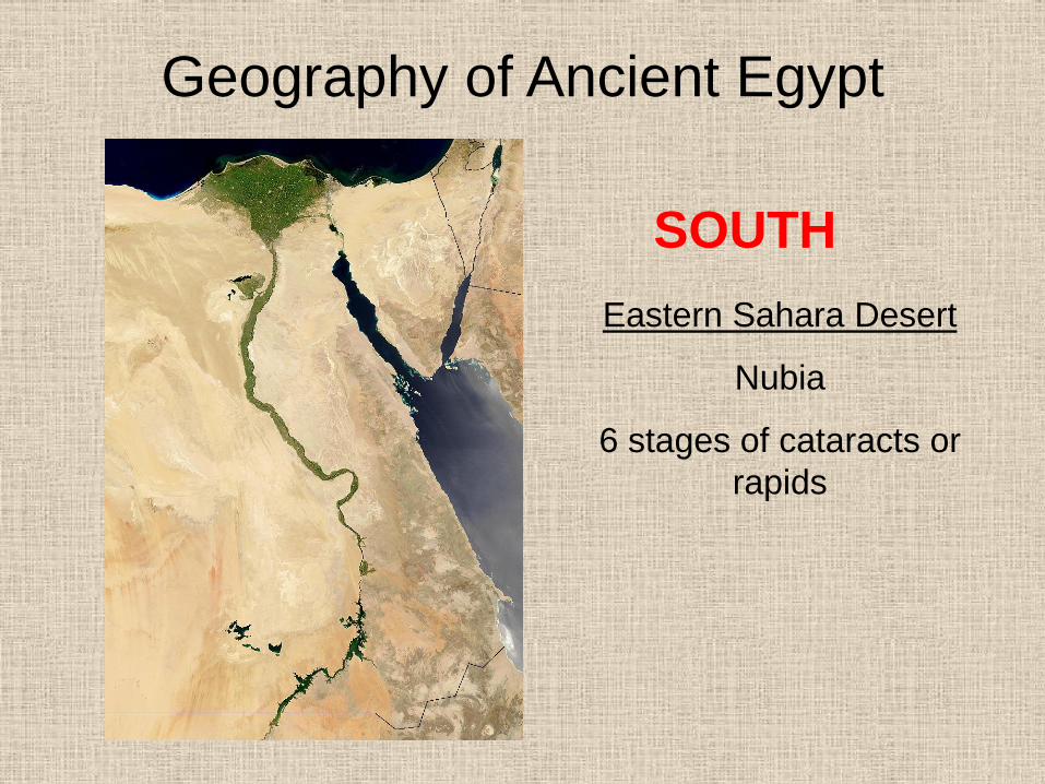
SOUTH
Eastern Sahara Desert
Nubia
6 stages of cataracts or
rapids
Geography of Ancient Egypt
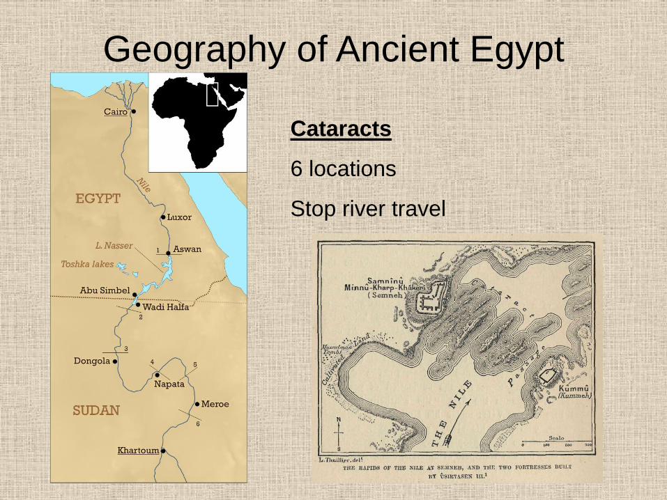
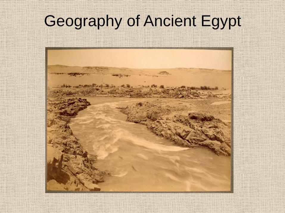
Cataracts
6 locations
Stop river travel
Geography of Ancient Egypt
Geography of Ancient Egypt
Geography of Ancient Egypt
Geography of Ancient Egypt
Geography of Ancient Egypt
Geography of Ancient Egypt
Geography of Ancient Egypt
Geography of Ancient Egypt
Geography of Ancient Egypt
Geography of Ancient Egypt
Geography of Ancient Egypt
Topography
• Land has ample stone for building large
monuments
• No wood or other building products
• Lower Egypt was a savannah teeming with
wild animals
Climate of Egypt
• Frost-free climate allowing for year round
farming
• Receives only ½ inch of rain per year on
the average
• Temperatures are hot, up to 140 degrees
in the summer
Climate of Egypt
• Non-existent humidity = preservation of
artifacts
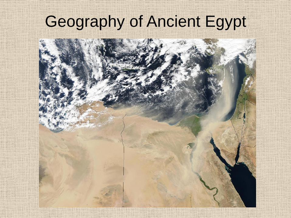
• Winds blow to the south from the
Mediterranean assisting in travel up the
river
Geography of Ancient Egypt
Egyptian history is divided into six eras:
•Predynastic
•Old Kingdom
•1st Intermediate Period
•Middle Kingdom
•2nd Intermediate Period
•New Kingdom or Empire
•Greek Egypt
•Roman Egypt
Geography of Ancient Egypt
Historical periods ruled by groups of
hereditary kings divided into 31
dynasties:
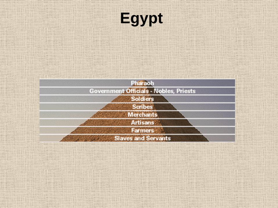
• Kings of Egypt known as “Pharoahs”
or “great houses”
• Kings considered gods- rule was
autocratic and religious (theoracy)
Geography of Ancient Egypt
Historical periods ruled by groups of
hereditary kings divided into 31
dynasties:
• Kings usually married their sisters
• Dynastic rule produced 3,000 of
continuous rule with small interruptions
Geography of Ancient Egypt
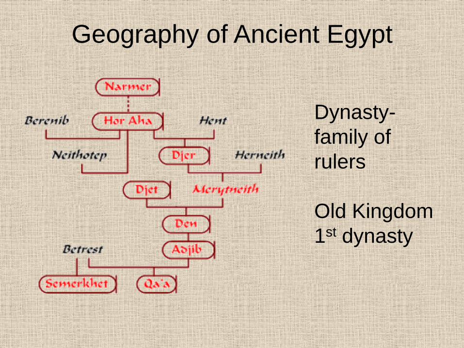
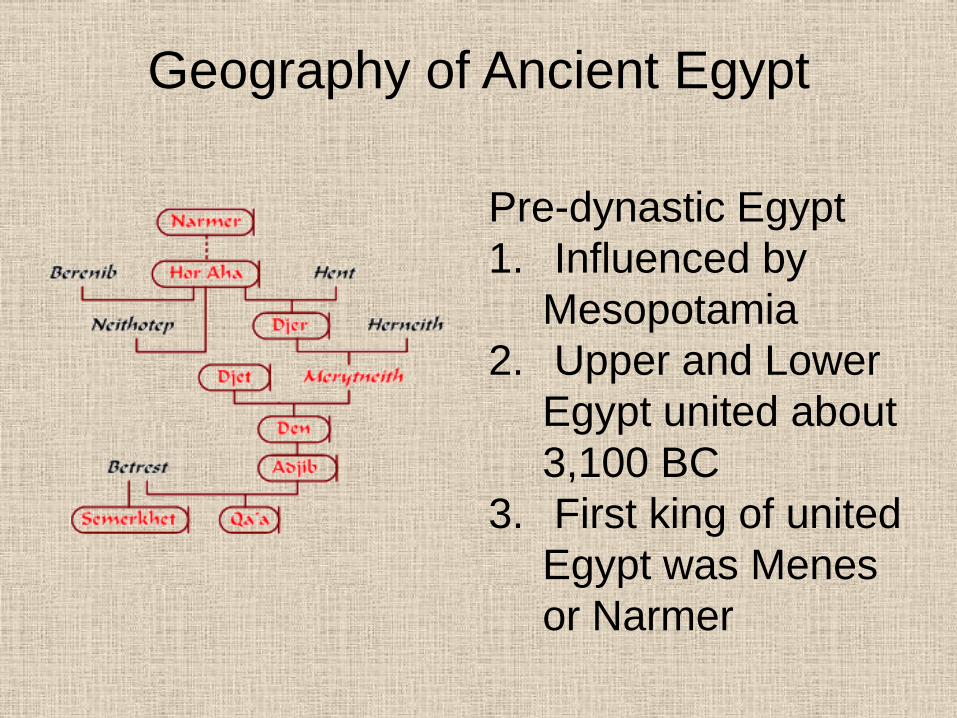
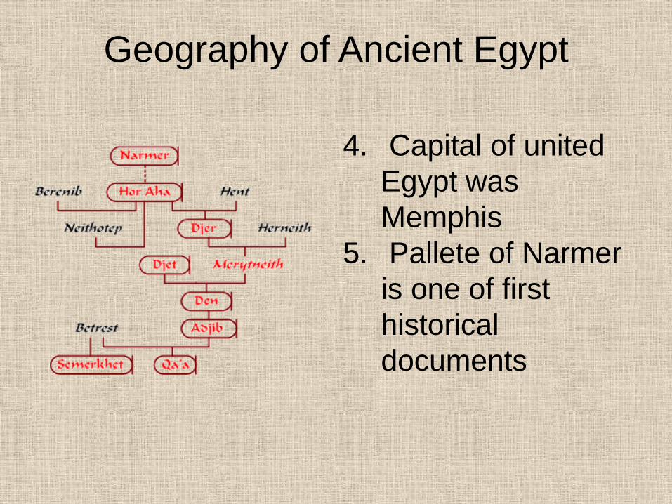
Dynasty-
family of
rulers
Old Kingdom
1st dynasty
Geography of Ancient Egypt
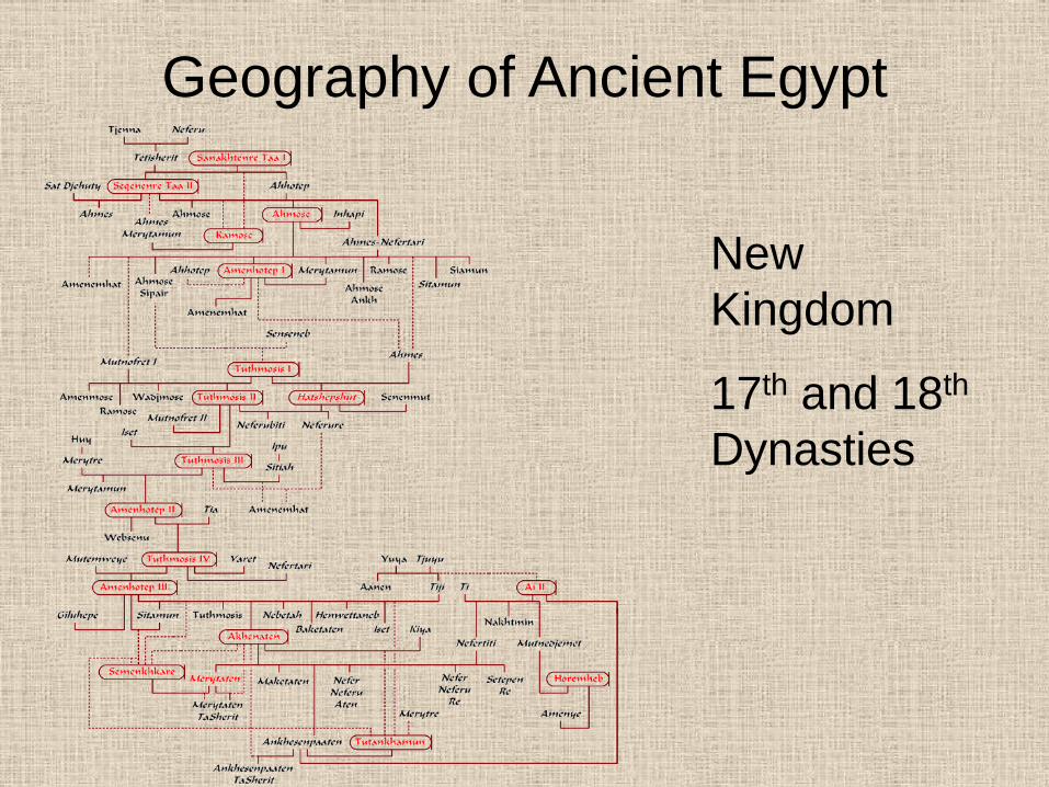
New
Kingdom
17th and 18th
Dynasties
Geography of Ancient Egypt
Pre-dynastic Egypt
1. Influenced by
Mesopotamia
2. Upper and Lower
Egypt united about
3,100 BC
3. First king of united
Egypt was Menes
or Narmer
Geography of Ancient Egypt
4. Capital of united
Egypt was
Memphis
5. Pallete of Narmer
is one of first
historical
documents
Egypt