Embed Size (px)
Citation preview

GEOGRAPHY OF GEORGIA: GEOGRAPHIC REGIONS

Appalachian Plateau
Smallest region Part of the
Appalachian Mountains
Contains Georgia’s only coal deposit
Caves, canyons, and rock formations are found here

Valley and Ridge
Home to several Civil War Battles
Lots of hardwood trees
Narrow ridges Valleys are fertile
for farming Large textile
industry found here

Piedmont
Rolling hills Granite and kaolin
mineral resources Largest above ground
granite mountain Red clay Most populated region Manufacturing Poultry

Blue Ridge Mountains
Part of the Appalachian Mountains
Home to the site of GA’s tallest peak: Brasstown Bald
Marble resource has helped make GA famous
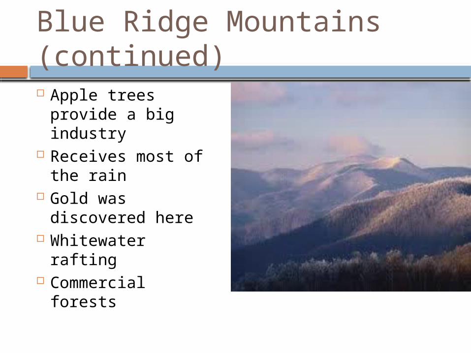
Blue Ridge Mountains (continued) Apple trees
provide a big industry
Receives most of the rain
Gold was discovered here
Whitewater rafting Commercial
forests
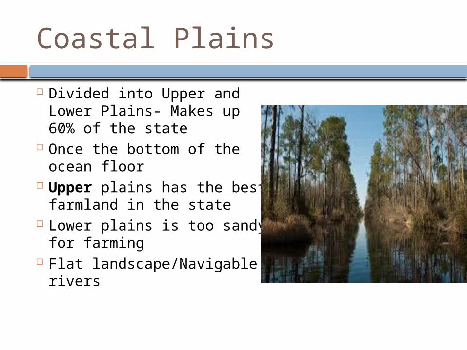
Coastal Plains
Divided into Upper and Lower Plains- Makes up 60% of the state
Once the bottom of the ocean floor
Upper plains has the best farmland in the state
Lower plains is too sandy for farming
Flat landscape/Navigable rivers
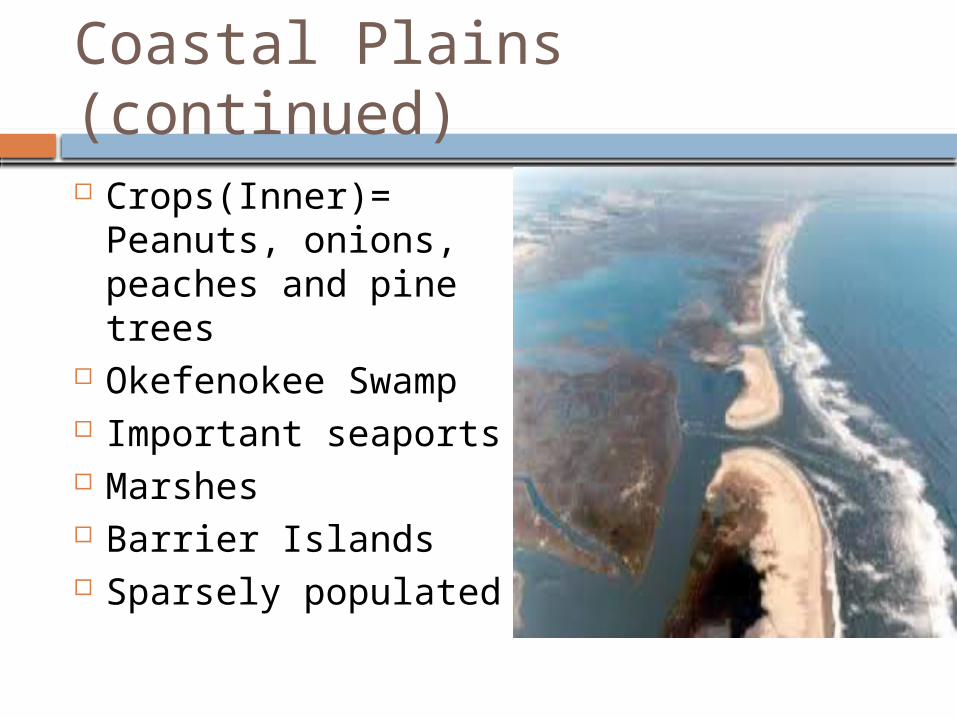
Coastal Plains (continued)
Crops(Inner)= Peanuts, onions, peaches and pine trees
Okefenokee Swamp Important seaports Marshes Barrier Islands Sparsely populated
GEOGRAPHY OF GEORGIA: PHYSICAL FEATURES

6 Physical Features:
① Fall Line② Okefenokee Swamp③ Appalachian Mountains④ Chattahoochee River⑤ Savannah River⑥ Barrier Islands

Fall Line
Separates the Piedmont from the Coastal Plains
Waterfalls offered sources of water power and many grist mills (used to grind in wheat and corn) located on the fall line.
Cities on the fall line include: Columbus Augusta Macon

Okefenokee Swamp
Covers 700 square miles
Largest freshwater swamp in North America
Now protected by the federal government
Hundreds of species live in the area, the most well known is the American alligator

The Appalachian Mountains
Southernmost point of the Appalachian Mountains are in Georgia.
Highest peak in Georgia is Brasstown Bald

The Chattahoochee River
Begins in Blue Ridge Region
Forms border between Alabama and Georgia
Difficult to navigate between the Piedmont and Coastal Plains region
Primarily used as water source for Georgians in the Piedmont
Also used for industry and recreation
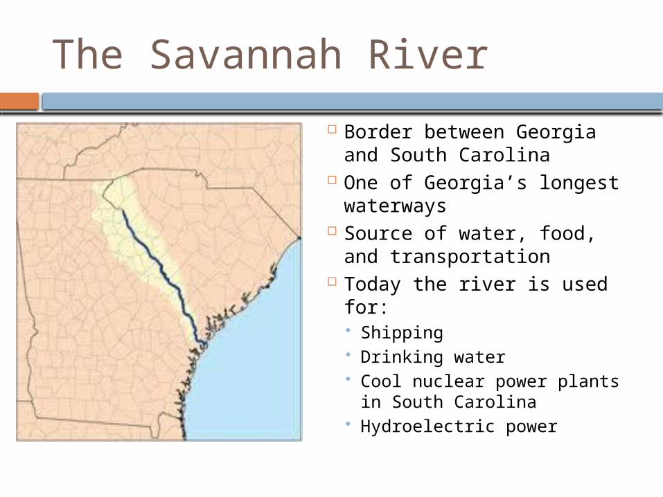
The Savannah River
Border between Georgia and South Carolina
One of Georgia’s longest waterways
Source of water, food, and transportation
Today the river is used for: Shipping Drinking water Cool nuclear power plants
in South Carolina Hydroelectric power
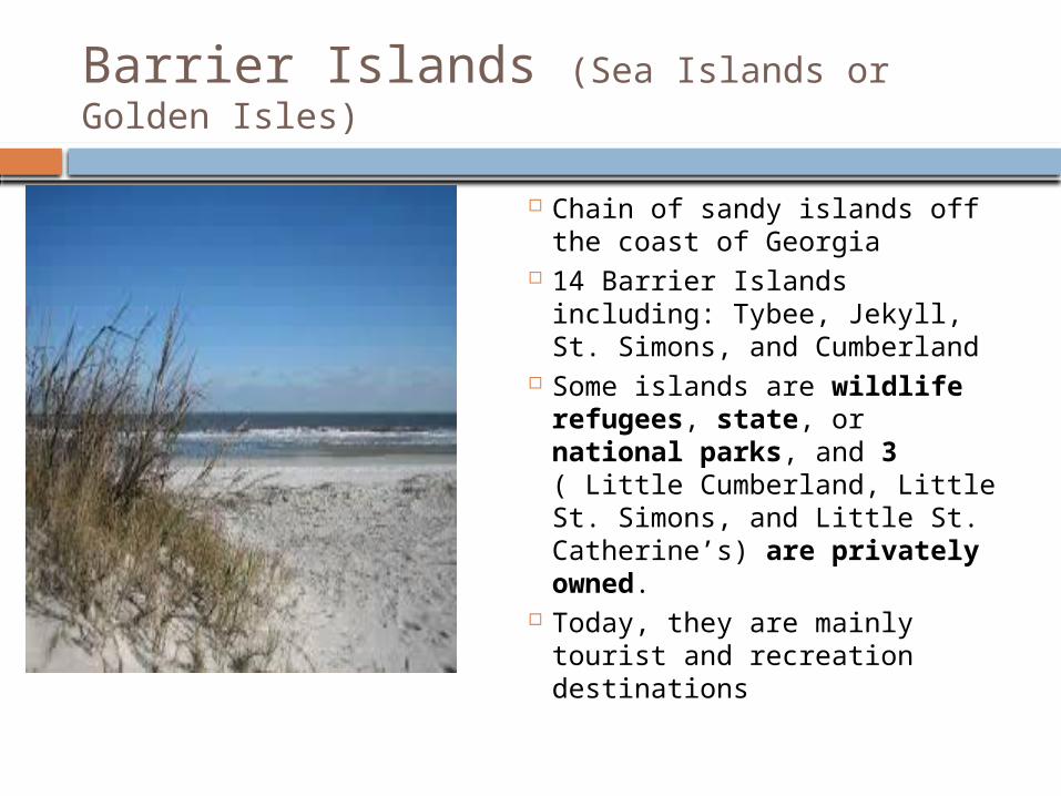
Barrier Islands (Sea Islands or Golden Isles)
Chain of sandy islands off the coast of Georgia
14 Barrier Islands including: Tybee, Jekyll, St. Simons, and Cumberland
Some islands are wildlife refugees, state, or national parks, and 3 ( Little Cumberland, Little St. Simons, and Little St. Catherine’s) are privately owned.
Today, they are mainly tourist and recreation destinations