Embed Size (px)
Citation preview
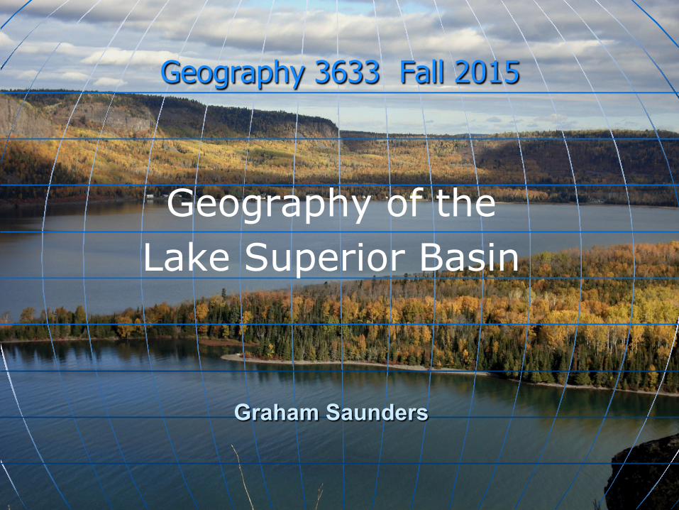
Geography 3633 Fall 2015
Geography of the Lake Superior Basin
Graham Saunders
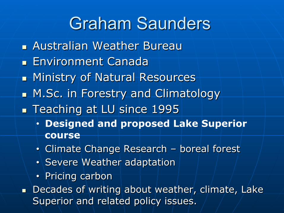
Graham Saunders n Australian Weather Bureau n Environment Canada n Ministry of Natural Resources n M.Sc. in Forestry and Climatology n Teaching at LU since 1995
• Designed and proposed Lake Superior course
• Climate Change Research – boreal forest • Severe Weather adaptation • Pricing carbon
n Decades of writing about weather, climate, Lake Superior and related policy issues.
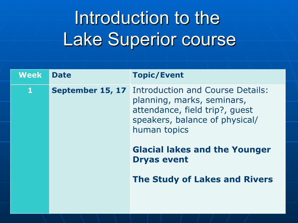
Introduction to the Lake Superior course
Week Date Topic/Event
1
September 15, 17
Introduction and Course Details: planning, marks, seminars, attendance, field trip?, guest speakers, balance of physical/human topics Glacial lakes and the Younger Dryas event The Study of Lakes and Rivers
Course Objectives
n This is a survey course of Lake Superior, from its geological past to present issues.

Course Structure n Lectures
• Courselink
" Attendance " Bulletin Board " Office Hours " email response " Field trip

Seminars n A seminar (presentation/poster) will be presented by
each student. Another option entails writing policy brief n Based on research of historical and recent topics n Commence in week four or five n 20% of final mark
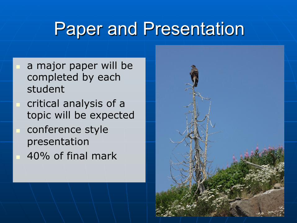
Paper and Presentation
n a major paper will be completed by each student
n critical analysis of a topic will be expected
n conference style presentation
n 40% of final mark
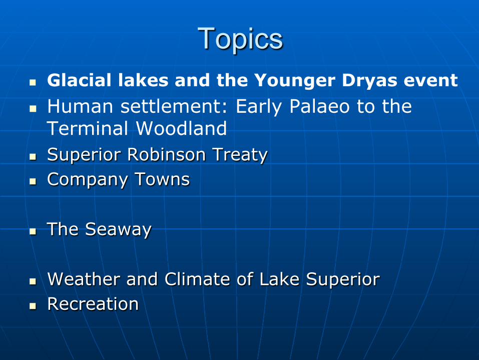
Topics n Glacial lakes and the Younger Dryas event n Human settlement: Early Palaeo to the
Terminal Woodland n Superior Robinson Treaty n Company Towns
n The Seaway
n Weather and Climate of Lake Superior n Recreation
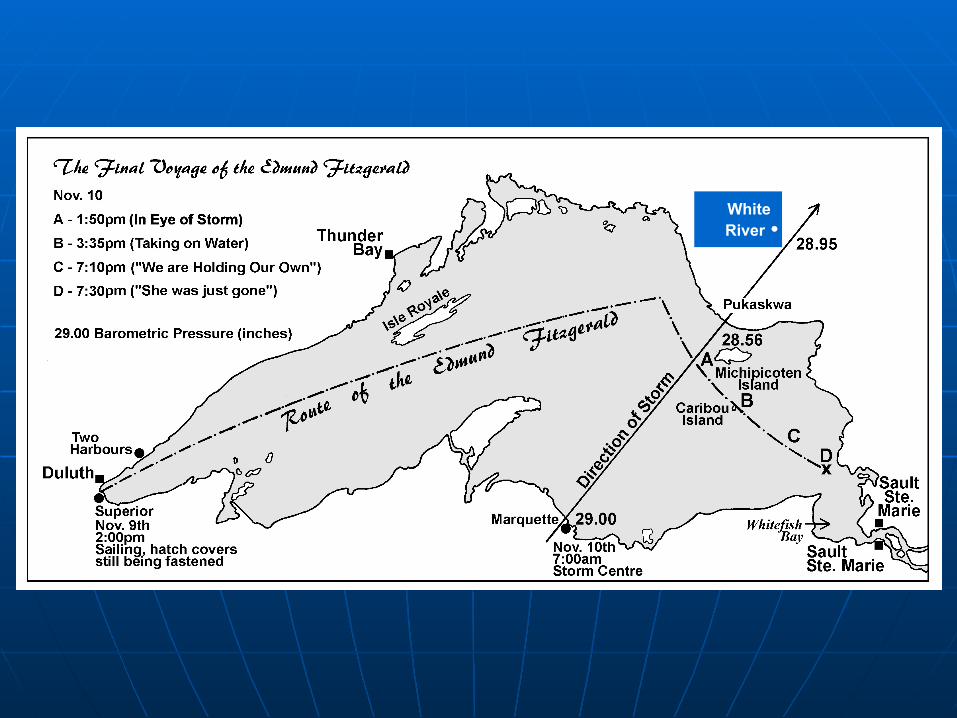
White River •
(inches of mercury)
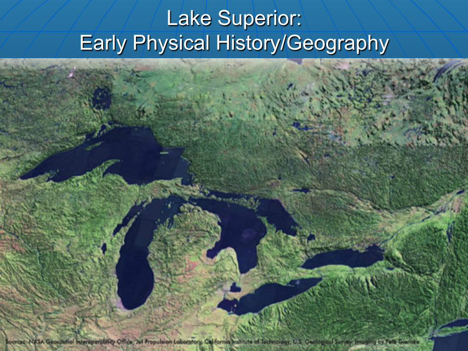
Lake Superior: Early Physical History/Geography
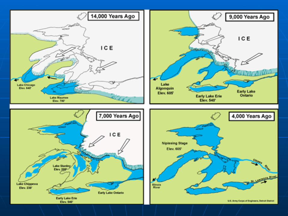
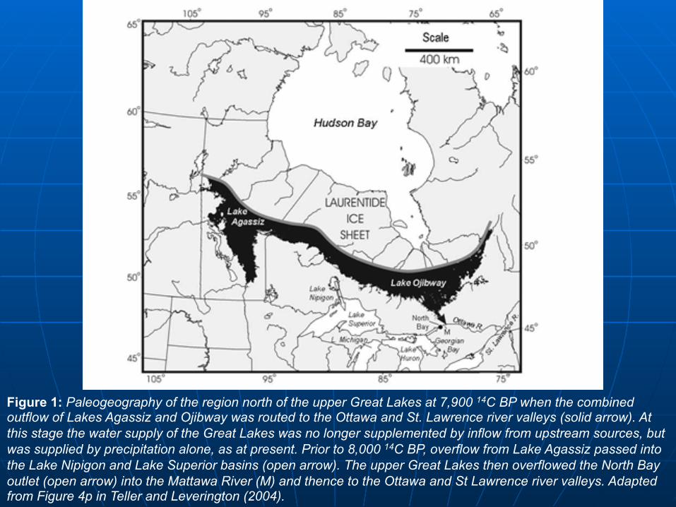
Figure 1: Paleogeography of the region north of the upper Great Lakes at 7,900 14C BP when the combined outflow of Lakes Agassiz and Ojibway was routed to the Ottawa and St. Lawrence river valleys (solid arrow). At this stage the water supply of the Great Lakes was no longer supplemented by inflow from upstream sources, but was supplied by precipitation alone, as at present. Prior to 8,000 14C BP, overflow from Lake Agassiz passed into the Lake Nipigon and Lake Superior basins (open arrow). The upper Great Lakes then overflowed the North Bay outlet (open arrow) into the Mattawa River (M) and thence to the Ottawa and St Lawrence river valleys. Adapted from Figure 4p in Teller and Leverington (2004).
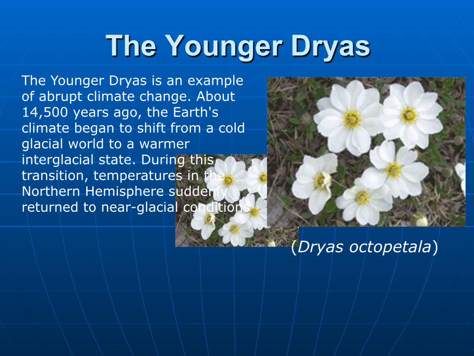
The Younger Dryas The Younger Dryas is an example of abrupt climate change. About 14,500 years ago, the Earth's climate began to shift from a cold glacial world to a warmer interglacial state. During this transition, temperatures in the Northern Hemisphere suddenly returned to near-glacial conditions
(Dryas octopetala)
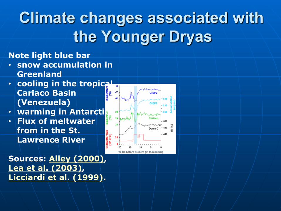
Climate changes associated with the Younger Dryas
Note light blue bar • snow accumulation in
Greenland • cooling in the tropical
Cariaco Basin (Venezuela)
• warming in Antarctica • Flux of meltwater
from in the St. Lawrence River
Sources: Alley (2000), Lea et al. (2003), Licciardi et al. (1999).
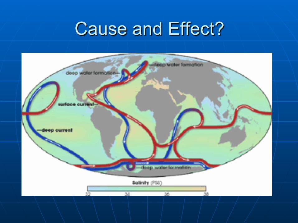
Cause and Effect?
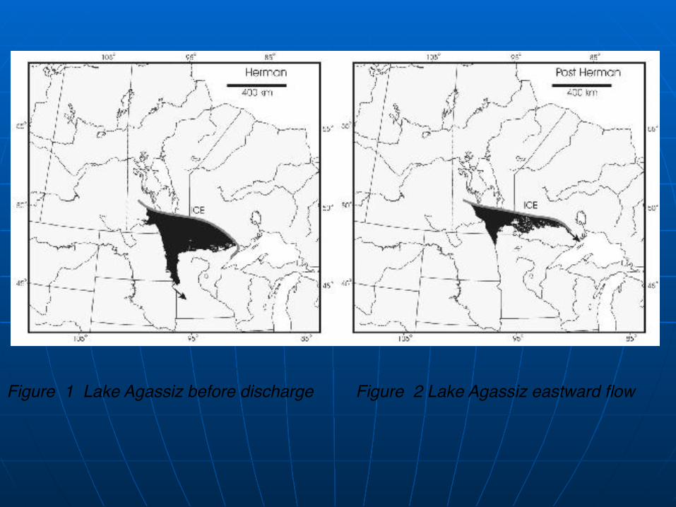
Figure 1 Lake Agassiz before discharge Figure 2 Lake Agassiz eastward flow
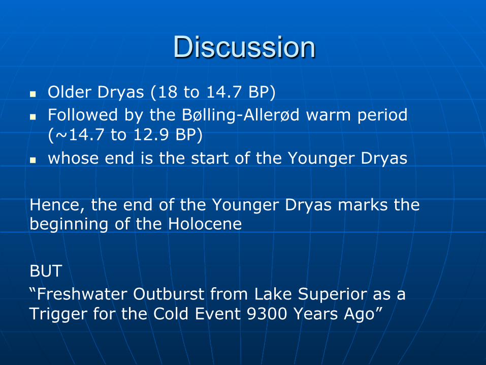
Discussion n Older Dryas (18 to 14.7 BP) n Followed by the Bølling-Allerød warm period
(~14.7 to 12.9 BP) n whose end is the start of the Younger Dryas Hence, the end of the Younger Dryas marks the beginning of the Holocene BUT “Freshwater Outburst from Lake Superior as a Trigger for the Cold Event 9300 Years Ago”