Embed Size (px)
Citation preview

Geospatial Integration with SAPSnohomish County PUD
Tim Epp
David Barclay
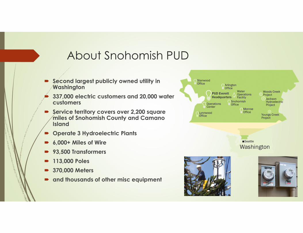
About Snohomish PUD
� Second largest publicly owned utility in Washington
� 337,000 electric customers and 20,000 water customers
� Service territory covers over 2,200 square miles of Snohomish County and Camano Island
� Operate 3 Hydroelectric Plants
� 6,000+ Miles of Wire
� 93,500 Transformers
� 113,000 Poles
� 370,000 Meters
� and thousands of other misc equipment
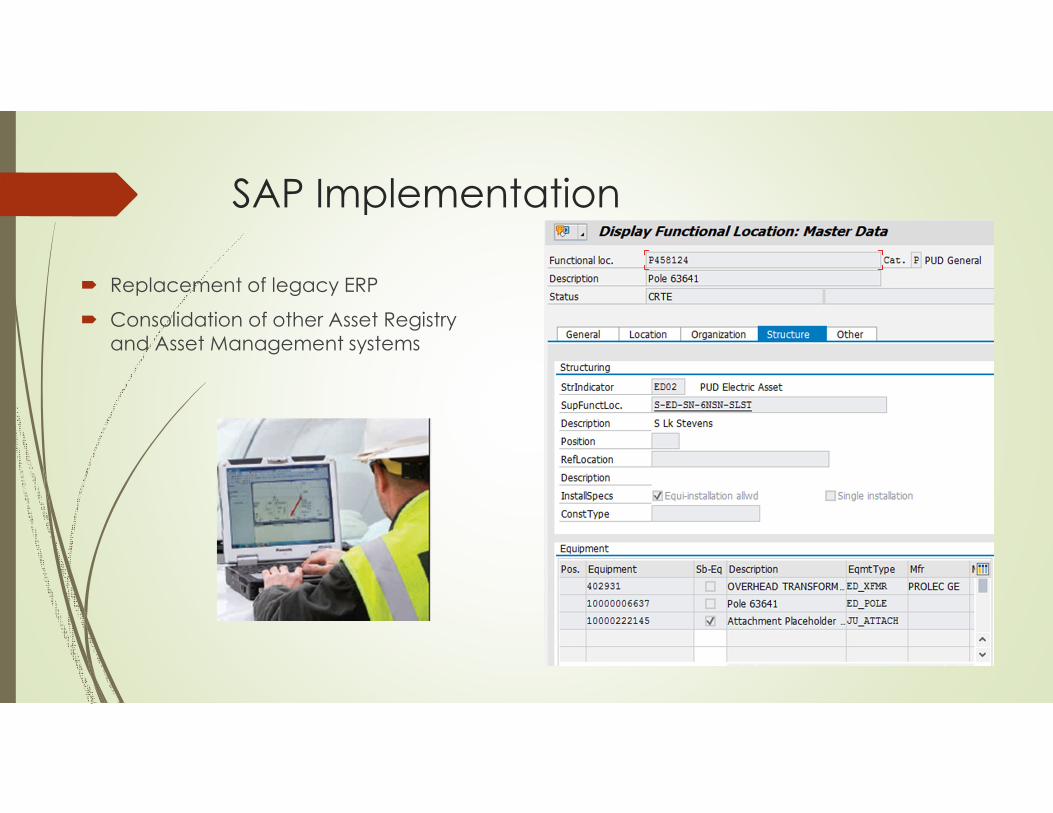
SAP Implementation
� Replacement of legacy ERP
� Consolidation of other Asset Registry
and Asset Management systems
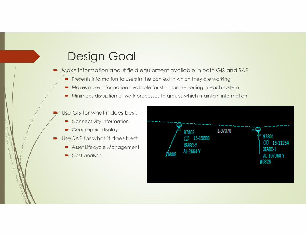
Design Goal� Make information about field equipment available in both GIS and SAP
� Presents information to users in the context in which they are working
� Makes more information available for standard reporting in each system
� Minimizes disruption of work processes to groups which maintain information
� Use GIS for what it does best:
� Connectivity information
� Geographic display
� Use SAP for what it does best:
� Asset Lifecycle Management
� Cost analysis
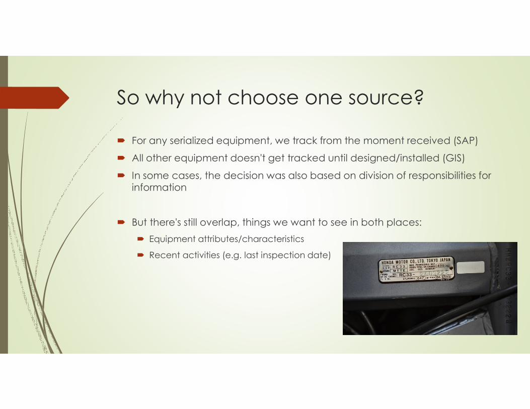
So why not choose one source?
� For any serialized equipment, we track from the moment received (SAP)
� All other equipment doesn't get tracked until designed/installed (GIS)
� In some cases, the decision was also based on division of responsibilities for information
� But there's still overlap, things we want to see in both places:
� Equipment attributes/characteristics
� Recent activities (e.g. last inspection date)
Challenges
� Keeping the two systems in sync with minimal effort and no errors
� Yet another numbering system
� Concept of SAP Functional Location (FLOC) doesn’t exist explicitly in GIS
� Think of it as a place on the earth where a certain function is performed
� It’s the location where equipment gets “installed”
� In SAP it can be established in a hierarchical arrangement
� Must have clear system of record (owner) for each piece of information
� Don't want the same data going back and forth
� Don't want to create equipment in GIS that SAP doesn't already know about
� Eliminate risk of mistyped information, i.e. no fat fingering of key fields
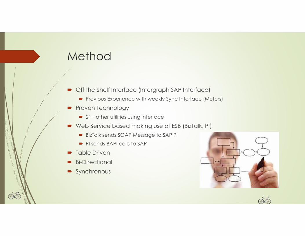
Method
� Off the Shelf Interface (Intergraph SAP Interface)
� Previous Experience with weekly Sync Interface (Meters)
� Proven Technology
� 21+ other utilities using interface
� Web Service based making use of ESB (BizTalk, PI)
� BizTalk sends SOAP Message to SAP PI
� PI sends BAPI calls to SAP
� Table Driven
� Bi-Directional
� Synchronous
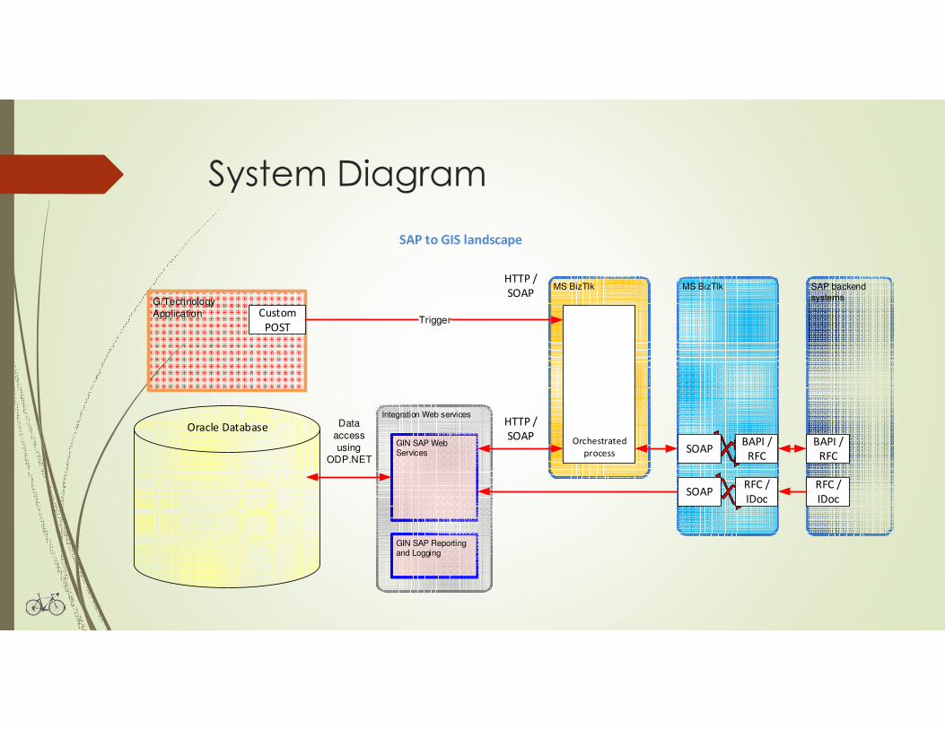
System Diagram
MS BizTlk
SAP to GIS landscape
Integration Web services
GIN SAP Reporting and Logging
SAP backend
systems
MS BizTlk
GIN SAP Web Services
G/Technology
Application
BAPI /
RFC
Custom
POST
Oracle Database
Trigger
Data
access
using
ODP.NET
Orchestrated
process
HTTP /
SOAP
HTTP /
SOAP
BAPI /
RFCSOAP
RFC /
IDoc
RFC /
IDocSOAP
Examples
� Background Pole Scenario
� New Pole with Joint Use Attachments
� Move to new FLOC/Superior FLOC
� Update from GIS / Dismantle and Install in SAP
� Transformer Scenario
� Refurbishment
� Replace Equipment Scenario
� Reproduce a Dismantle and Install
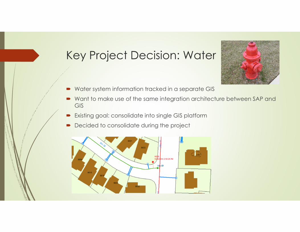
Key Project Decision: Water
� Water system information tracked in a separate GIS
� Want to make use of the same integration architecture between SAP and
GIS
� Existing goal: consolidate into single GIS platform
� Decided to consolidate during the project
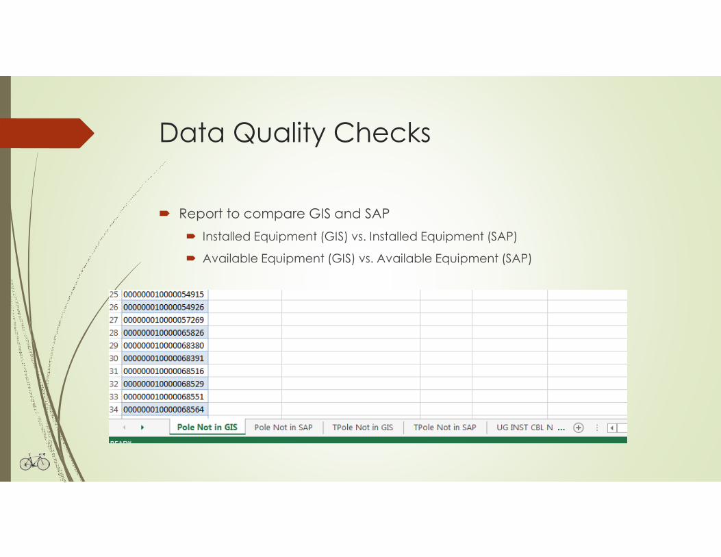
Data Quality Checks
� Report to compare GIS and SAP
� Installed Equipment (GIS) vs. Installed Equipment (SAP)
� Available Equipment (GIS) vs. Available Equipment (SAP)
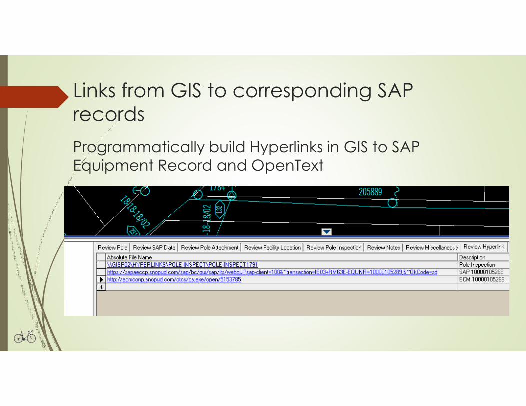
Links from GIS to corresponding SAP
records
Programmatically build Hyperlinks in GIS to SAP Equipment Record and OpenText
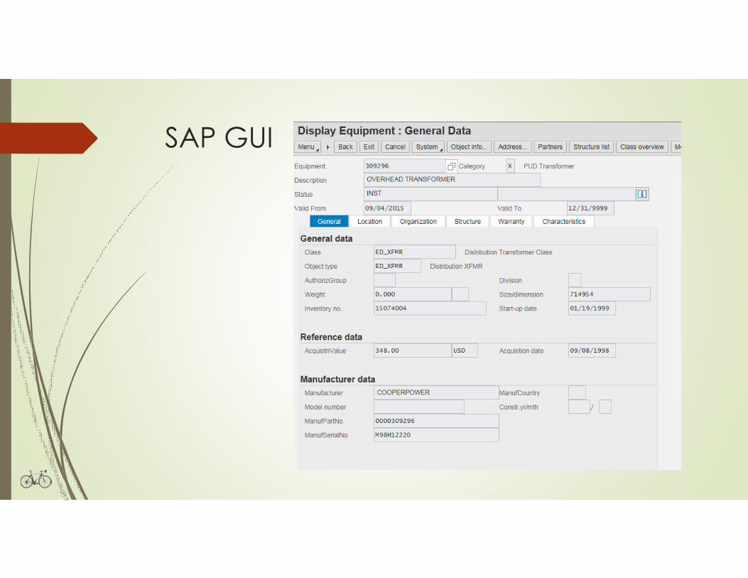
SAP GUI
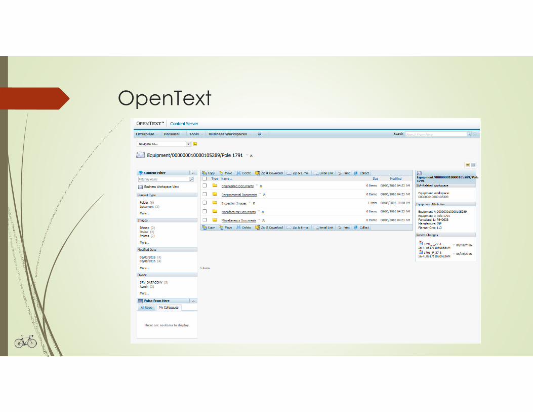
OpenText
Lessons Learned
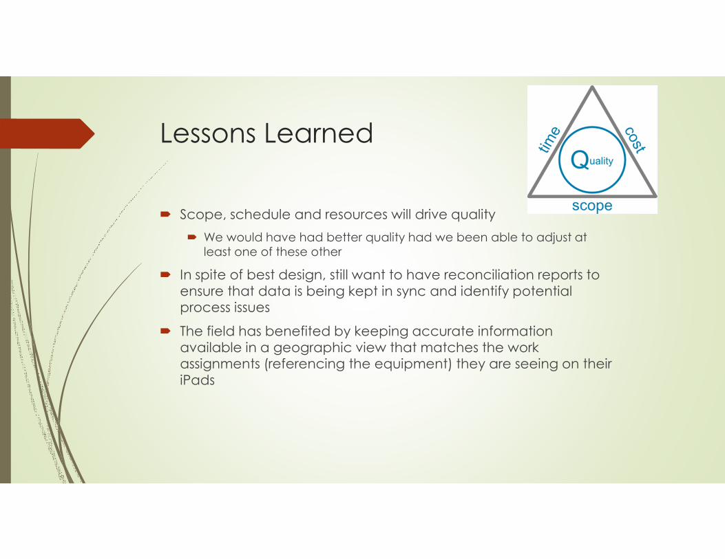
� Scope, schedule and resources will drive quality
� We would have had better quality had we been able to adjust at
least one of these other
� In spite of best design, still want to have reconciliation reports to
ensure that data is being kept in sync and identify potential process issues
� The field has benefited by keeping accurate information
available in a geographic view that matches the work assignments (referencing the equipment) they are seeing on their
iPads
Future Work & Opportunities
� Still working through defects
� It’s difficult to think of all work scenarios to test during the course of a
project
� Evaluating use of batch in some scenarios where that method makes
more sense
� Bulk load
� Information not required immediately
� Less complicated
� Stop storing certain information in 2 systems and just make web service
calls to display the info that is stored in the other context
� Extend the ability to navigate back and forth between the 2 systems