Embed Size (px)
Citation preview
GIS technologies and Web Mapping Services
Presented by:
Yining Zeng
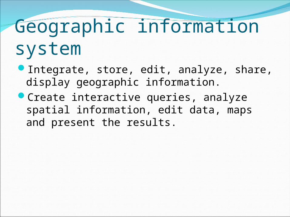
Geographic information systemIntegrate, store, edit, analyze, share, display
geographic information.Create interactive queries, analyze spatial
information, edit data, maps and present the results.
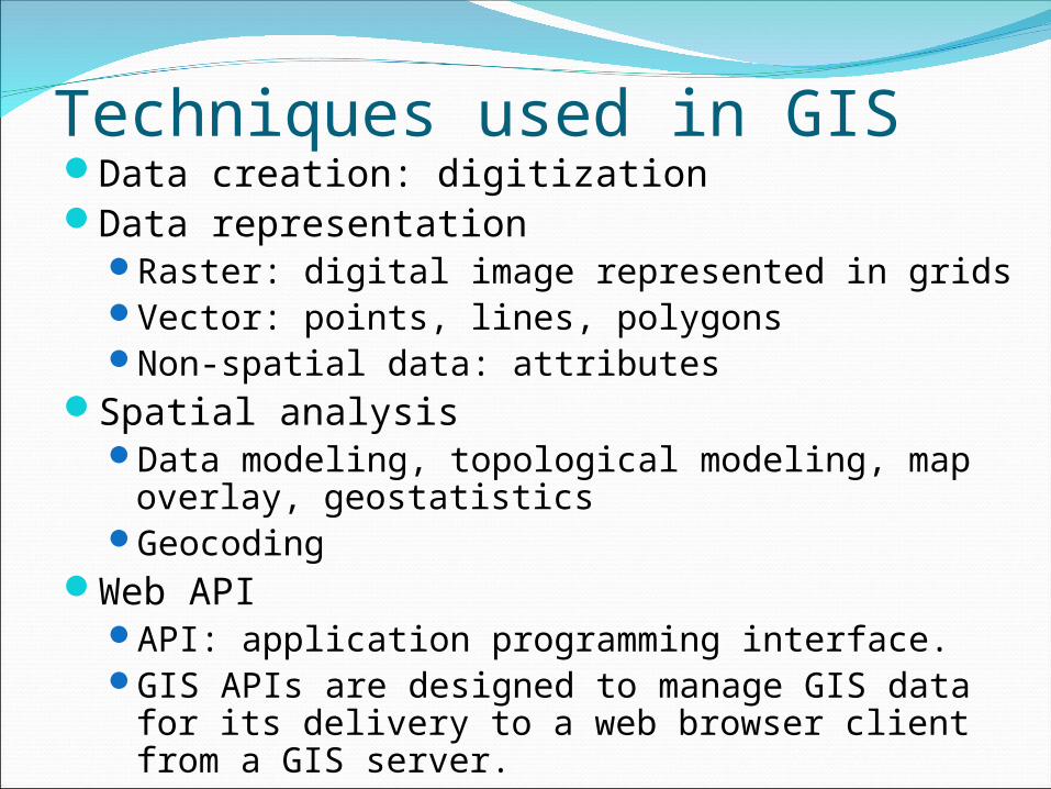
Techniques used in GISData creation: digitizationData representation
Raster: digital image represented in gridsVector: points, lines, polygonsNon-spatial data: attributes
Spatial analysisData modeling, topological modeling, map
overlay, geostatisticsGeocoding
Web APIAPI: application programming interface. GIS APIs are designed to manage GIS data for its
delivery to a web browser client from a GIS server.
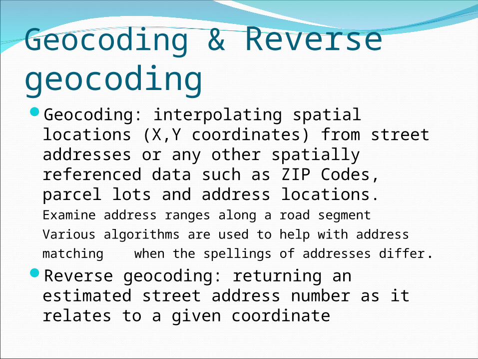
Geocoding & Reverse geocoding Geocoding: interpolating spatial locations
(X,Y coordinates) from street addresses or any other spatially referenced data such as ZIP Codes, parcel lots and address locations.
Examine address ranges along a road segment
Various algorithms are used to help with address
matching when the spellings of addresses differ.Reverse geocoding: returning an estimated
street address number as it relates to a given coordinate
Web mappingWeb mapping is the process of designing,
implementing, generating and delivering maps on the World Wide Web.
Web GIS: emphasis on analysis, processing of project specific geodata and exploratory aspects.
Mobile web mapping: using mobile computing devices, can provide location sensitive information.
Challenges: low display resolution, limited bandwidth, copyright, security, reliability, technical complexity.
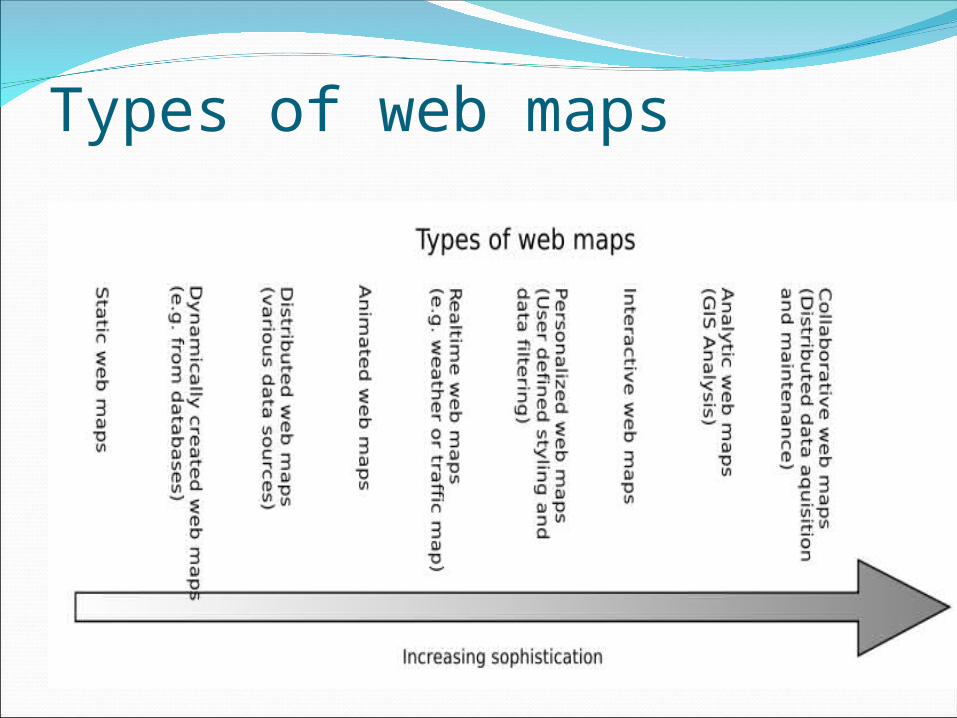
Types of web maps
Web mapping technologiesServer side technologiesWeb server: responsible for handling http
requests by web browsers and other user agents.
CGI: (common gateway interface)
Scripting language: PHP, Perl ,ASP, python Web application server: a middleware that
connects various software components with the web server and a programming language
Web mapping technologies (Cont.)Spatial database: usually object relational
databases enhanced with geographic data types, methods and properties. PostGIS, MySQL, Oracle Spatial etc.
WMS server: specialized web mapping servers implemented as a CGI application, Java Servlet or other web application server.
Client side technologiesWeb browser: support the display of HTML and
raster images (JPEG, PNG and GIF format). ECMAScript support: the standardized version of
JavaScript. It is necessary to implement client side interaction, refactoring of the DOM of a webpage and for doing network requests. ECMAScript is currently part of any modern web browser.
Events support: mouse events, keyboard events, state events, mutation events,SMIL animation events, UI events, SVG specific events.
Network request: get and post http requests and provides some feedback on the data loading state.
Client side technologies (Cont.)DOM support: The Document Object Model
provides a language independent API for the manipulation of the document tree of the webpage. DOM support together with scripting is also known as DHTML or Dynamic HTML.
SVG support or SVG image support: integrates vector graphics, raster graphics and text. Also supports animation, internationalization, interactivity, scripting and XML based extension mechanisms.
Client side technologies (Cont.)Java Support: The Java2D and Java3D libraries
provide 2d and 3d vector graphics support. The creation of Java based web maps requires Java support.
Web browser plugins:Adobe Acrobat – provides vector graphics and high quality printing support. Adobe Flash – provides vector graphics, animation and multimedia support. Apple Quicktime – Adds support for additional image formats, video, audio and Quicktime VR (Panorama Images). Adobe SVG viewer – provide SVG 1.0 support for web browsers Sun Java plugin provides support for newer and advanced Java Features.
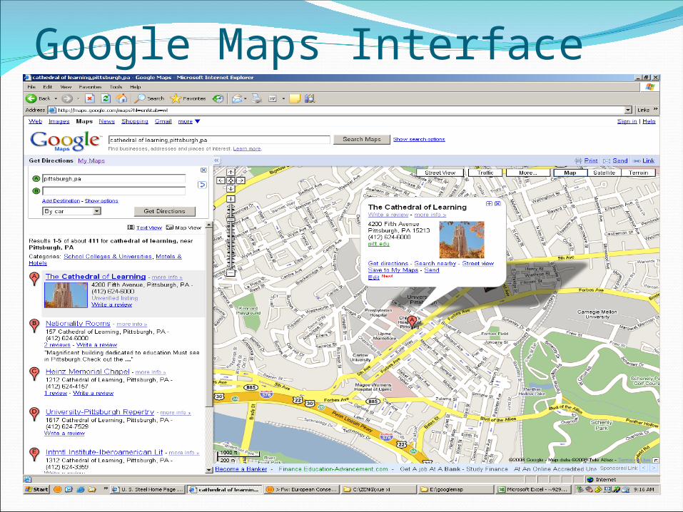
Google Maps Interface
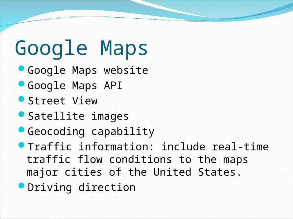
Google MapsGoogle Maps website Google Maps API Street ViewSatellite imagesGeocoding capabilityTraffic information: include real-time traffic
flow conditions to the maps major cities of the United States.
Driving direction
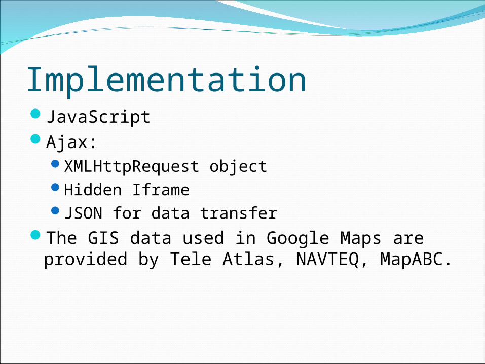
ImplementationJavaScriptAjax:
XMLHttpRequest objectHidden IframeJSON for data transfer
The GIS data used in Google Maps are provided by Tele Atlas, NAVTEQ, MapABC.
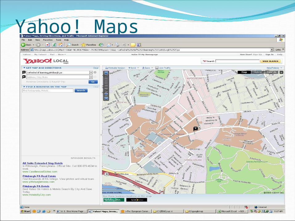
Yahoo! Maps
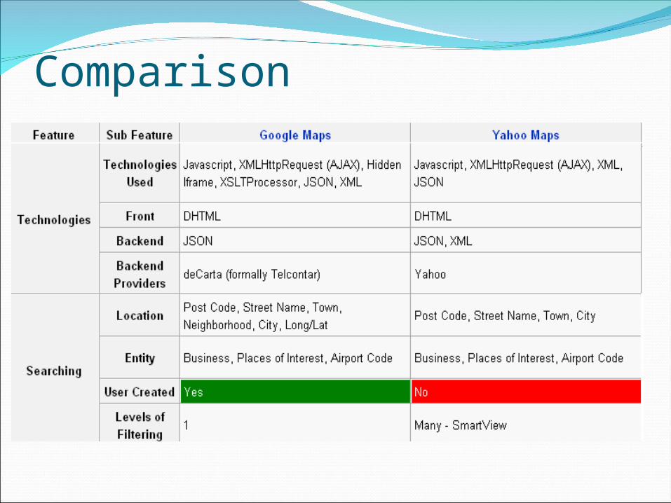
Comparison
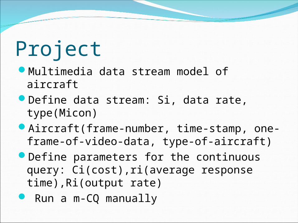
ProjectMultimedia data stream model of aircraftDefine data stream: Si, data rate, type(Micon)Aircraft(frame-number, time-stamp, one-
frame-of-video-data, type-of-aircraft)Define parameters for the continuous query:
Ci(cost),ri(average response time),Ri(output rate)
Run a m-CQ manually