Embed Size (px)
Citation preview

Good morning!!
1.Sit down!!!
2. Take out a piece of paper
3. Wait quietly for CNN student news to start
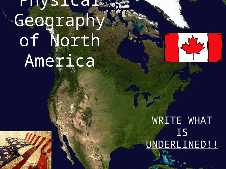
Physical Geography
of North America
WRITE WHAT IS
UNDERLINED!!
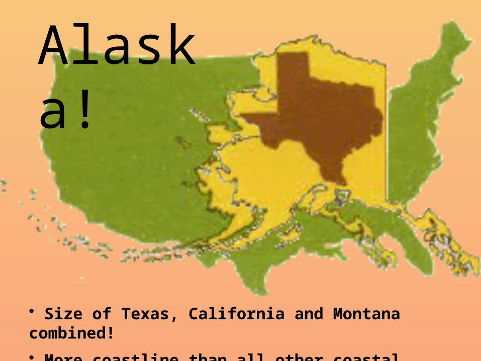
• Size of Texas, California and Montana combined!
• More coastline than all other coastal states combined!
Alaska!
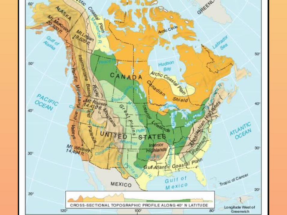
• All major landforms are found in the U.S. and Canada, and they share the same landform regions
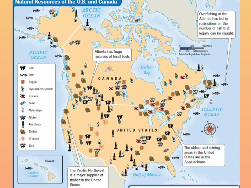
• North America is abundant in resources; this allowed for both countries to develop into global economic superpowers
U.S. and Canada
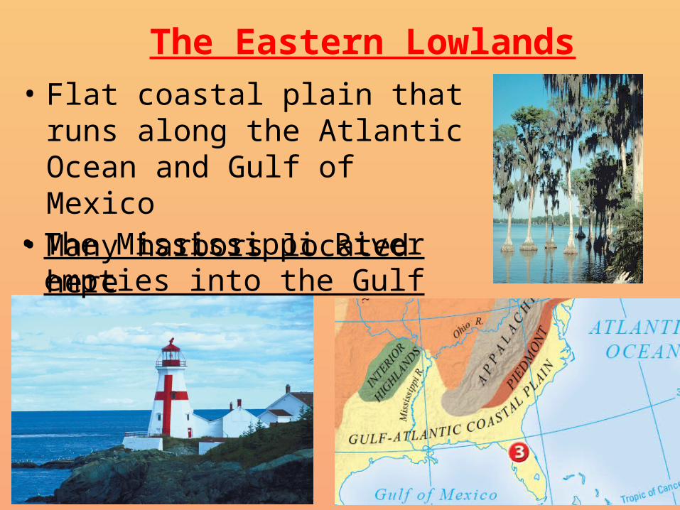
• Flat coastal plain that runs along the Atlantic Ocean and Gulf of Mexico
• Many harbors located here
The Eastern Lowlands
• The Mississippi River empties into the Gulf
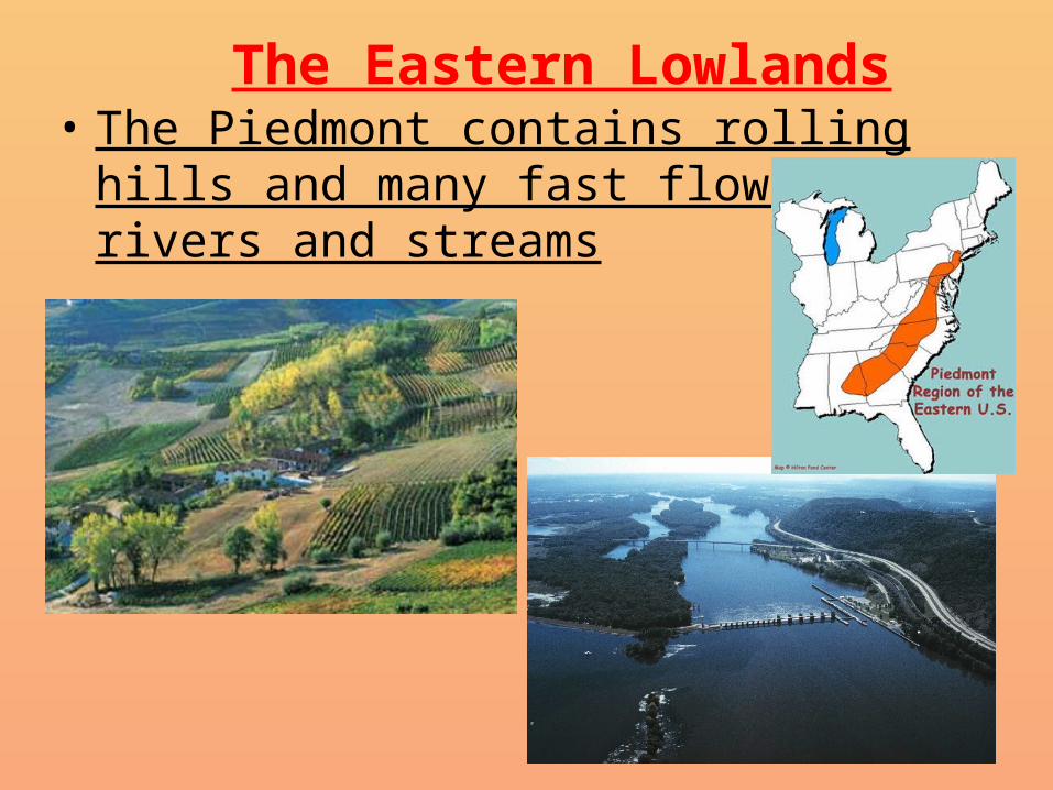
The Eastern Lowlands• The Piedmont contains rolling hills and many
fast flowing rivers and streams
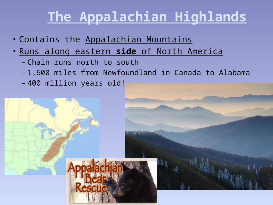
The Appalachian Highlands
• Contains the Appalachian Mountains• Runs along eastern side of North America
– Chain runs north to south– 1,600 miles from Newfoundland in Canada to Alabama– 400 million years old!
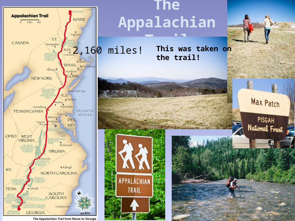
The Appalachian
Trail2,160 miles! This was taken on the
trail!
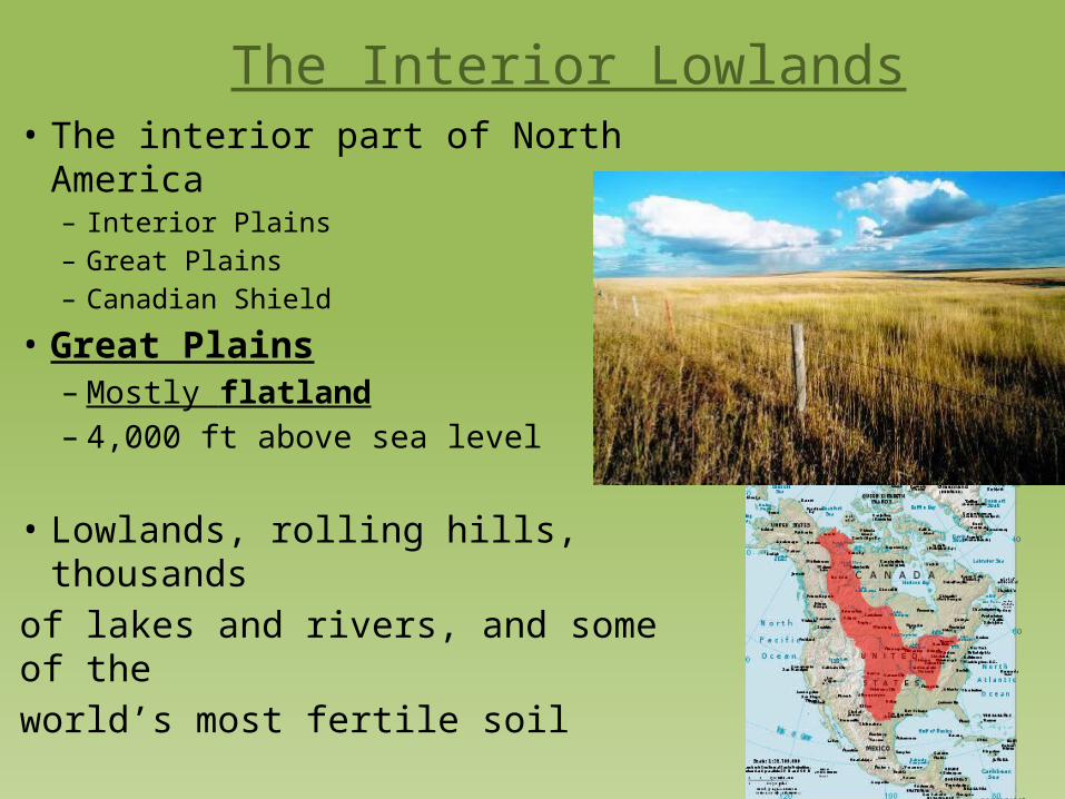
The Interior Lowlands• The interior part of North America
– Interior Plains– Great Plains– Canadian Shield
• Great Plains– Mostly flatland– 4,000 ft above sea level
• Lowlands, rolling hills, thousands of lakes and rivers, and some of the world’s most fertile soil
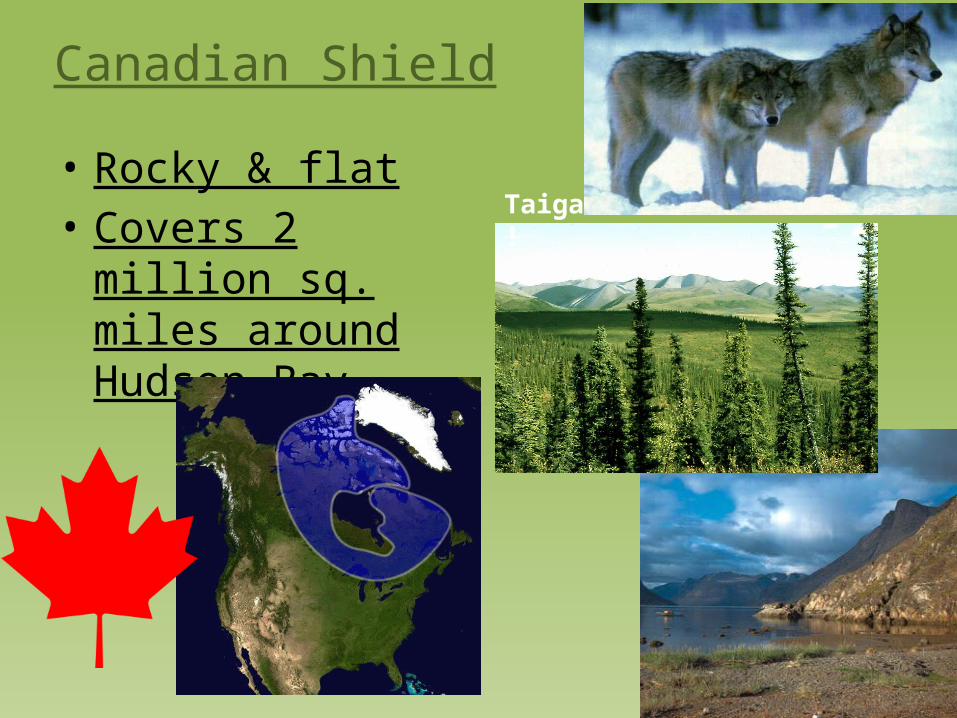
Canadian Shield
• Rocky & flat• Covers 2 million sq.
miles around Hudson Bay
Taiga!
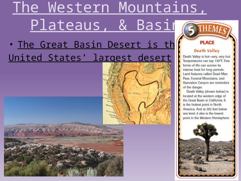
The Western Mountains, Plateaus, & Basins
• The Great Basin Desert is the United States’ largest desert
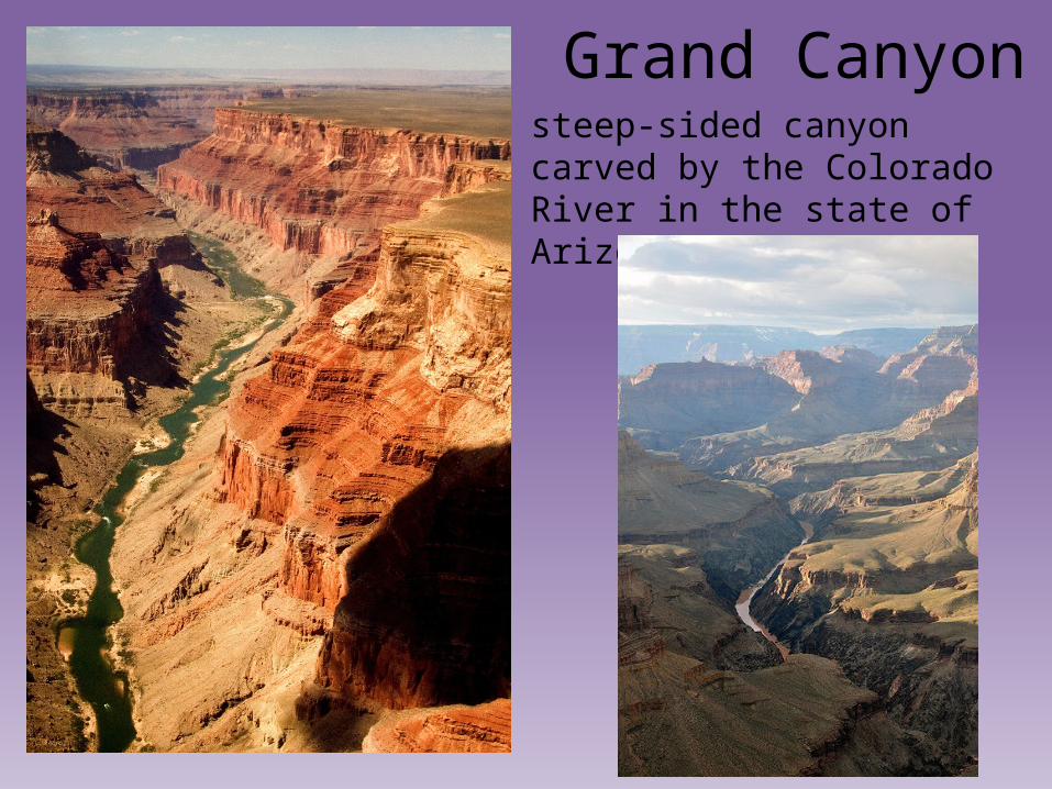
Grand Canyonsteep-sided canyon carved by the Colorado River in the state of Arizona
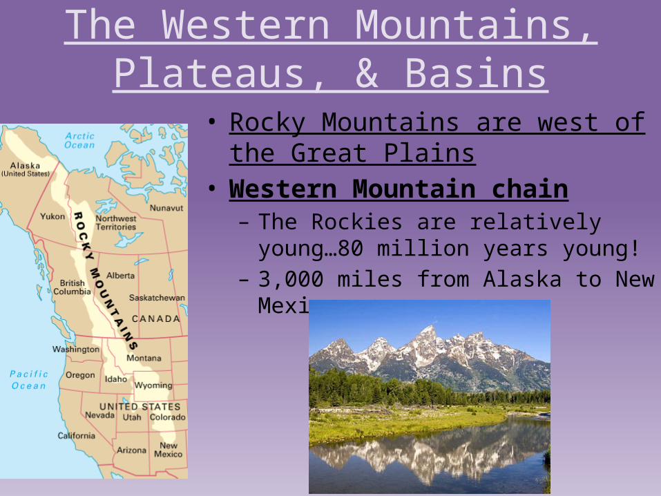
The Western Mountains, Plateaus, & Basins
• Rocky Mountains are west of the Great Plains
• Western Mountain chain– The Rockies are relatively young…80 million
years young!– 3,000 miles from Alaska to New Mexico
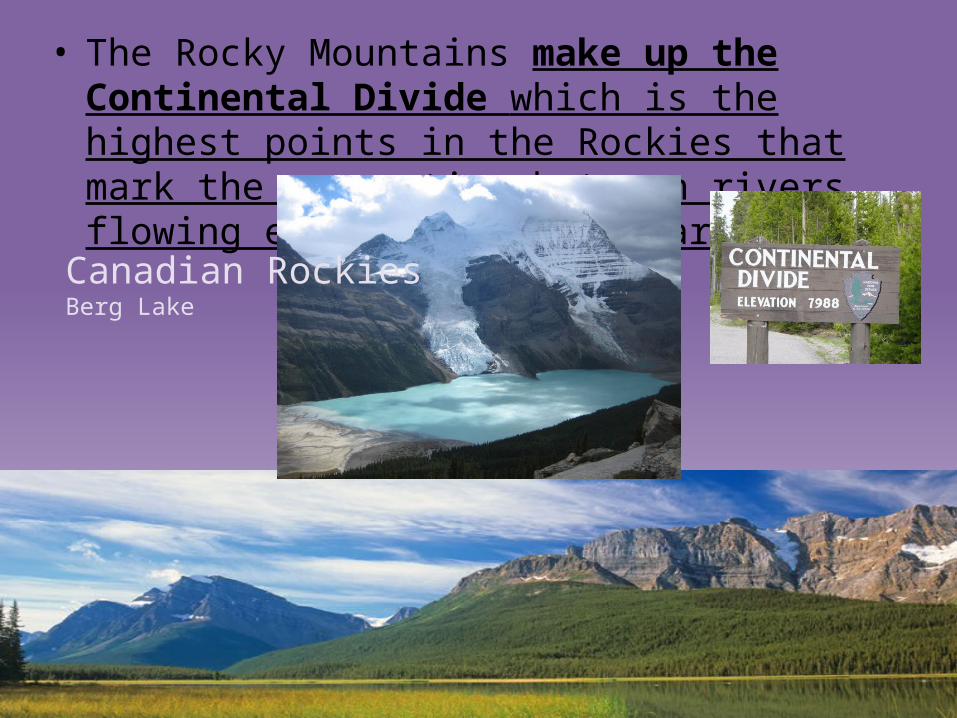
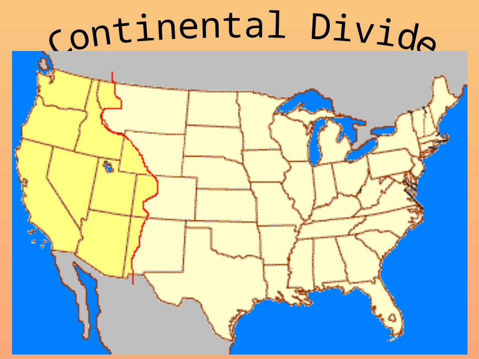
• The Rocky Mountains make up the Continental Divide which is the highest points in the Rockies that mark the separation between rivers flowing eastward and westward.
Canadian RockiesBerg Lake
Flows into Atlantic Ocean
Flows intoPacific Ocean
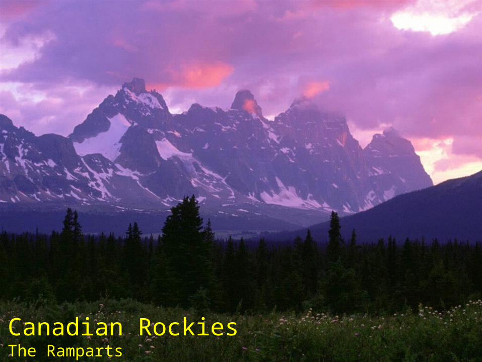
Canadian RockiesThe Ramparts
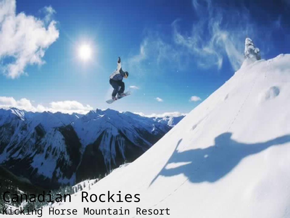
Canadian RockiesKicking Horse Mountain Resort
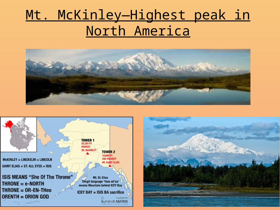
Mt. McKinley—Highest peak in North America
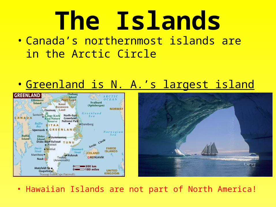
The Islands• Canada’s northernmost islands are in the Arctic
Circle
• Greenland is N. A.’s largest island
• Hawaiian Islands are not part of North America!
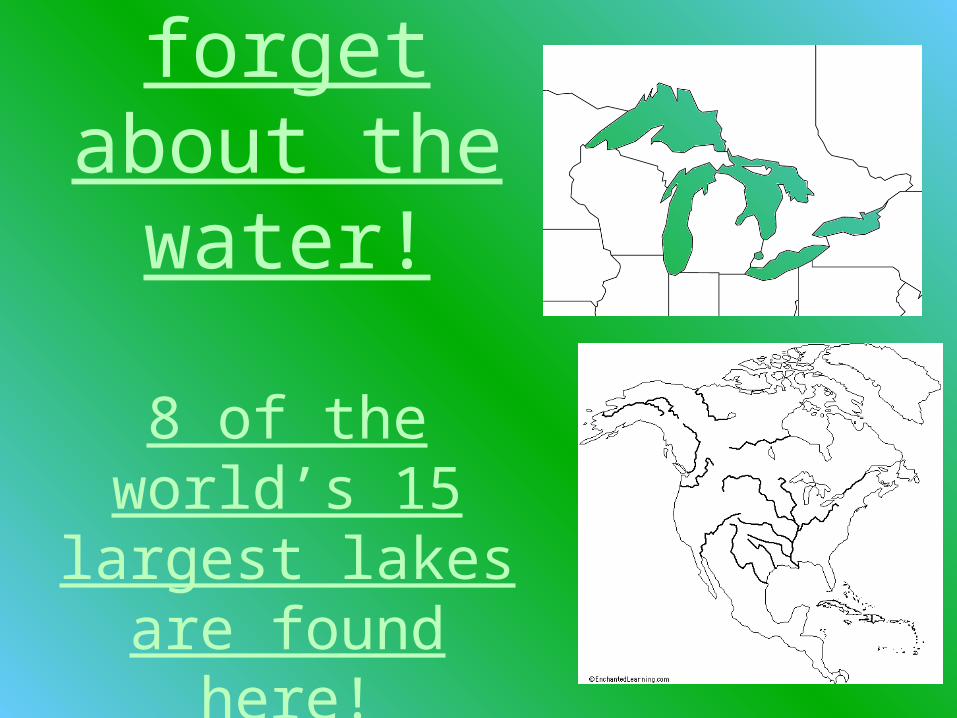
Don’t forget about the
water!
8 of the world’s 15 largest lakes are found here!
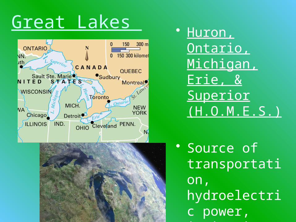
Great Lakes • Huron, Ontario, Michigan, Erie, & Superior (H.O.M.E.S.)
• Source of transportation, hydroelectric power, irrigation, fresh water, & fisheries
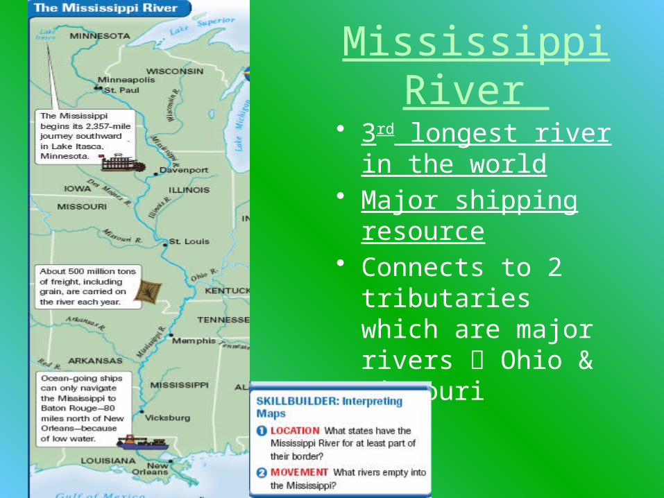
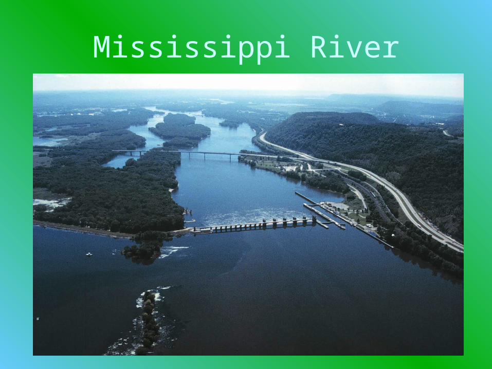
Mississippi River
• 3rd longest river in the world
• Major shipping resource
• Connects to 2 tributaries which are major rivers Ohio & Missouri
Mississippi River
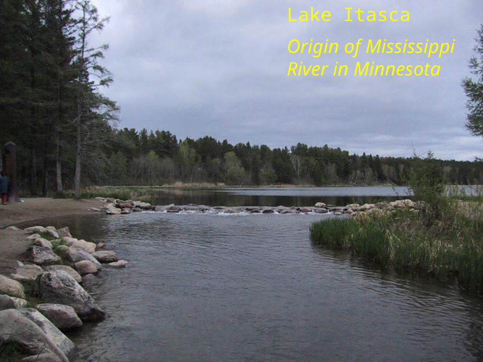
Lake Itasca
Origin of Mississippi River in Minnesota
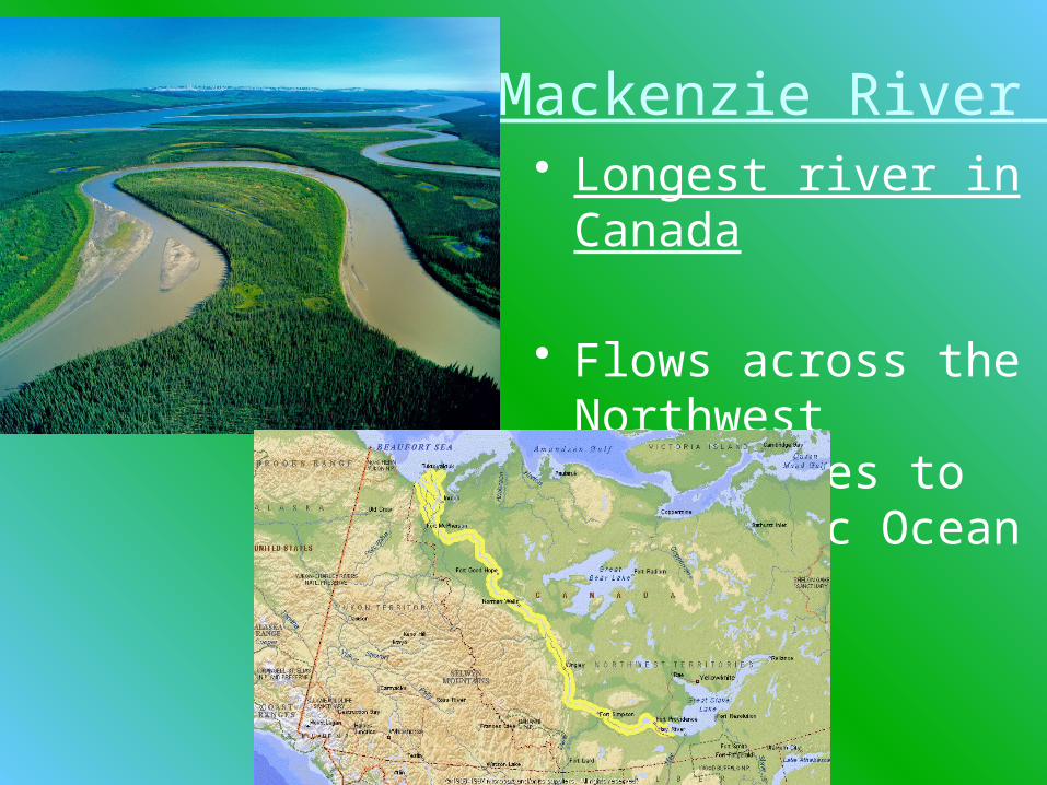
Mackenzie River • Longest river in
Canada
• Flows across the Northwest Territories to the Arctic Ocean

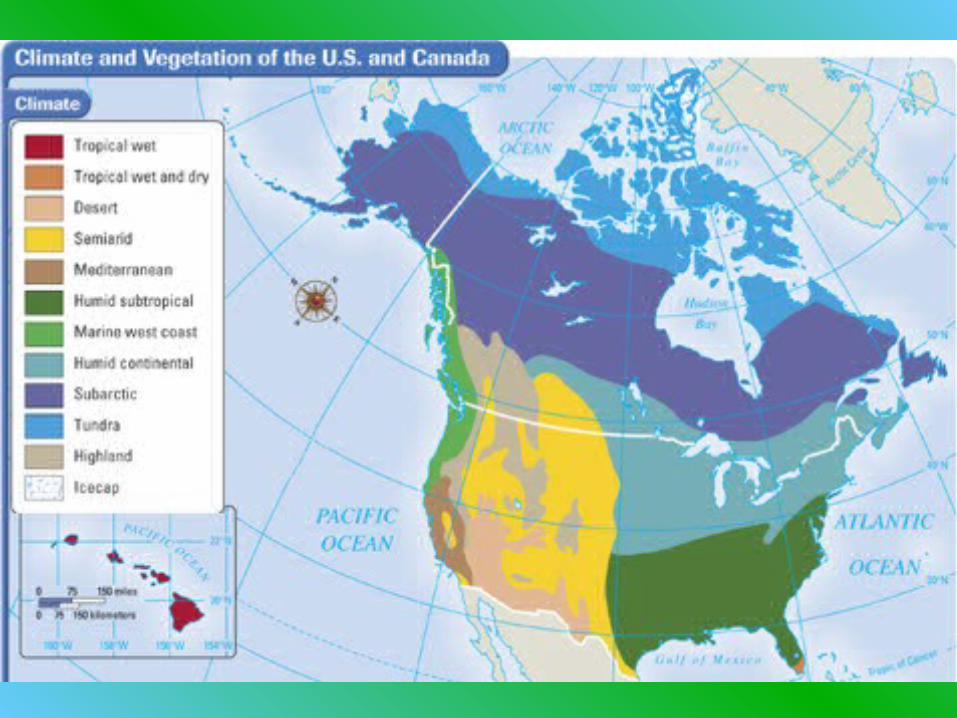
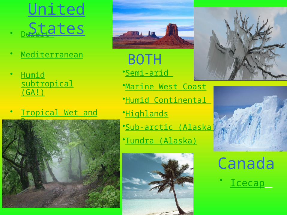
United States• Desert
• Mediterranean
• Humid subtropical (GA!)
• Tropical Wet and Dry
• Icecap Canada
•Semi-arid
•Marine West Coast
•Humid Continental
•Highlands
•Sub-arctic (Alaska)
•Tundra (Alaska)
BOTH
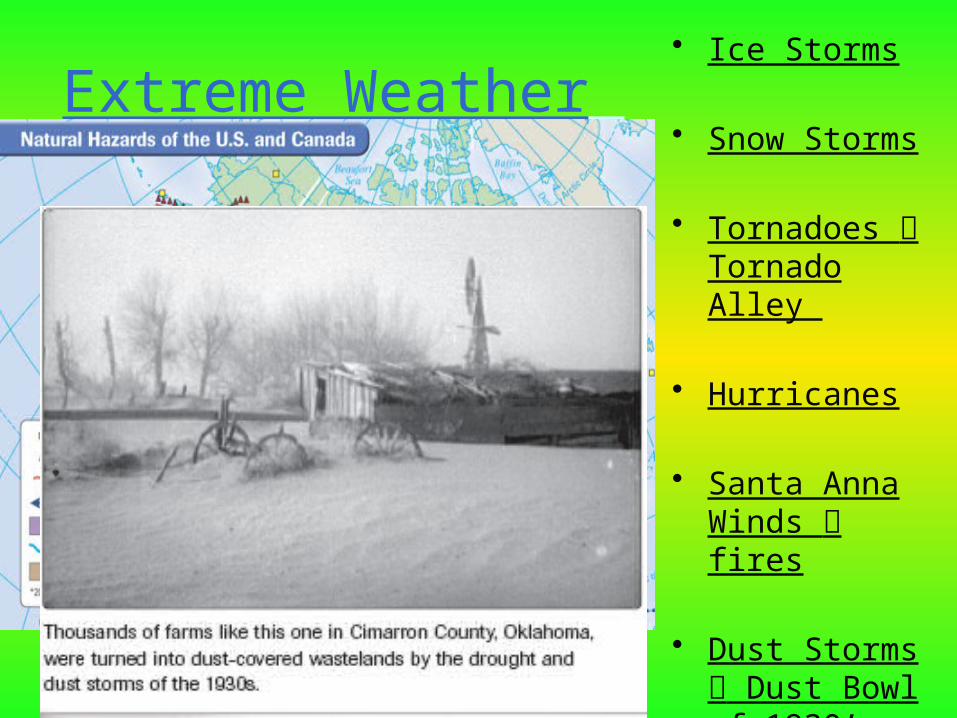
Extreme Weather • Ice Storms
• Snow Storms
• Tornadoes Tornado Alley
• Hurricanes
• Santa Anna Winds fires
• Dust Storms Dust Bowl of 1930’s