Embed Size (px)
Citation preview
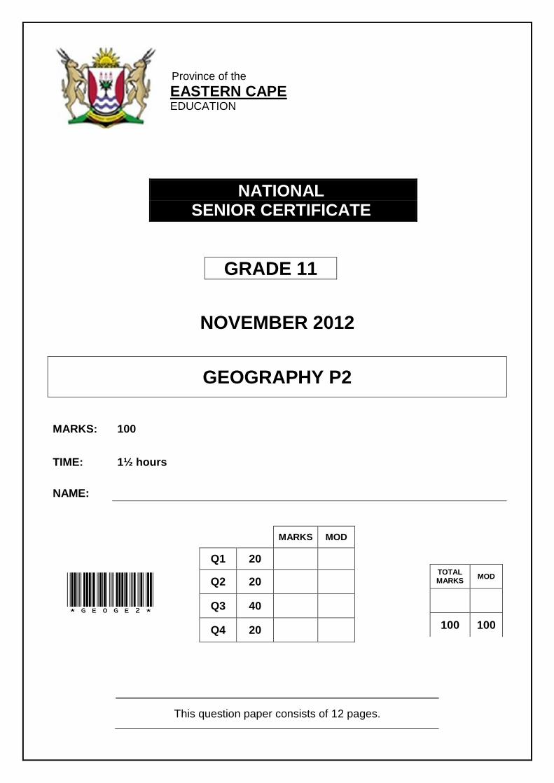
Province of the
EASTERN CAPE EDUCATION
NATIONAL SENIOR CERTIFICATE
GRADE 11
NOVEMBER 2012
GEOGRAPHY P2
MARKS: 100
TIME: 1½ hours
NAME:
This question paper consists of 12 pages.
MARKS MOD
Q1 20
Q2 20
Q3 40
Q4 20
TOTAL MARKS MOD
100 100
*GEOGE2*

2 GEOGRAPHY P2 (NOVEMBER 2012)
INSTRUCTIONS AND INFORMATION 1. Write your NAME in the space provided on the cover page. 2. Answer ALL the questions in the spaces provided ON THIS QUESTION
PAPER.
3. You are supplied with a 1:50 000 topographical map (3418 BB SOMERSET
WEST) and an orthophoto map (3418 BB 7 SOMERSET WEST) of a part of the mapped area.
4. The topographical map and the orthophoto map must be handed over to the
invigilator at the end of the examination session.
5. NOTE: The resource material (topographical map and orthophoto map) must
be collected by the schools for their own future use.
6. A non-programmable calculator may be used. 7. A glossary of some of the English and Afrikaans words and their
translations appears on the following page.

(NOVEMBER 2012) GEOGRAPHY P2 3
GLOSSARY (SOME OF THESE TERMS MAY APPEAR ON THE MAPS.)
ENGLISH AFRIKAANS
Brickworks Steenmakery Landing Strip Landingstrook Diggings Uitgrawings Nature Reserve Natuurreservaat Show Grounds Skougronde Woodland / Plantation Beboste gebied / Plantasie Cemetery Begraafplaas Weir Studam Camping site Kampeerterrein Caravan Park Karavaanpark Golf Course Gholfbaan Furrow Voor Hospital Hospitaal Shooting Range Skietbaan Ox Wagon Trek Ossewa-Trek Sewage Disposal Works Rioolverwerkingsaanleg
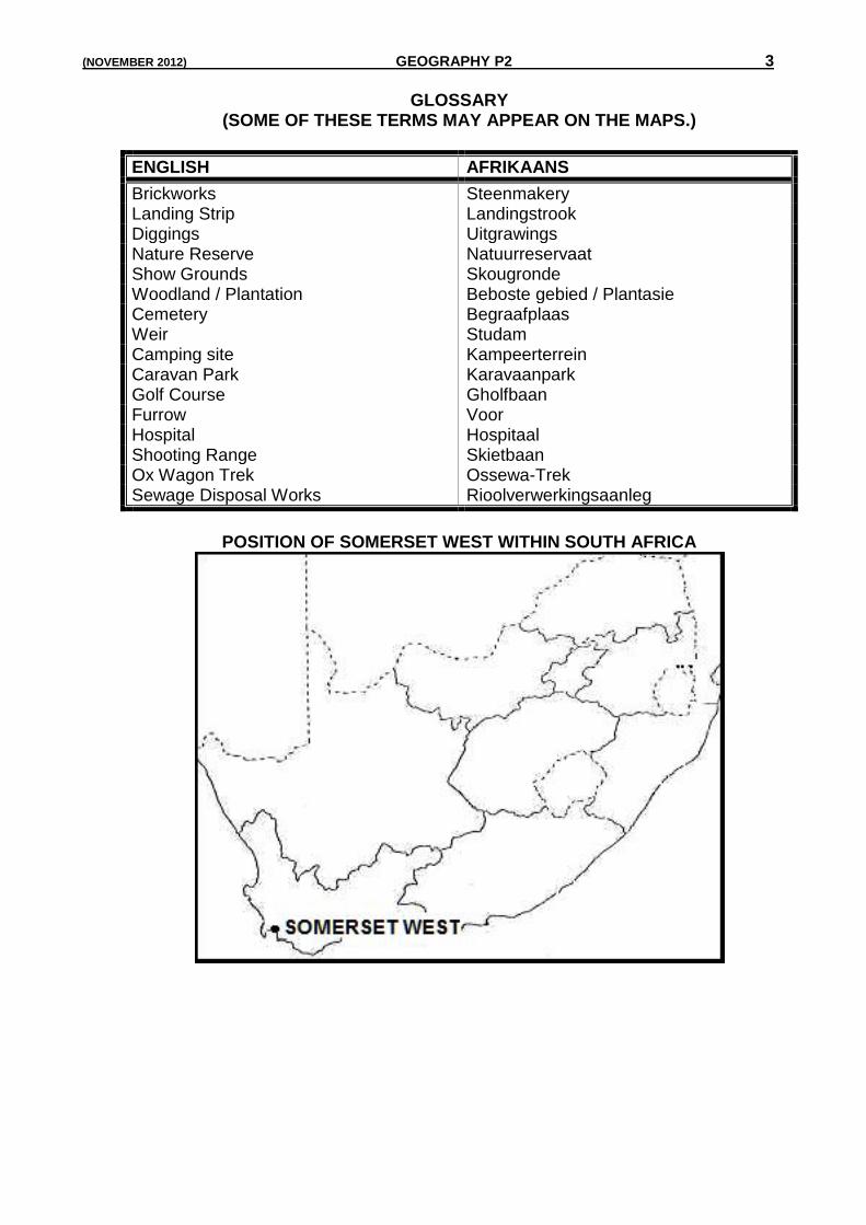
POSITION OF SOMERSET WEST WITHIN SOUTH AFRICA
4 GEOGRAPHY P2 (NOVEMBER 2012)
SECTION A QUESTION 1: MULTIPLE-CHOICE QUESTIONS The following statements are based on the 1:50 000 topographical map 3418 BB SOMERSET WEST and the orthophoto map 3418 BB 7 of the same area. Various options are provided as possible answers to the following statements. Choose the correct answer and write only the letter (A – D) in the block next to the statement. 1.1 The mapped area to the west of Somerset West 3418 BB is … A 3419 AA.
B 3418 BD. C 3418 BA.
D 3419 BD 1.2 The contour interval on the orthophoto map is … A 5.
B 10. C 20.
D 2. 1.3 The ocean current found to the south-west of the town Somerset West is
the ... A Mozambique.
B Peruvian. C Benguela.
D Cape Town. 1.4 The number 3418 on the topographical map and orthophoto map
represents the ... A flight number of the sequence.
B time and date of the map. C magnetic declination.
D latitude and longitude of the area. 1.5 The Steenbras River (L6) is flowing in a/an ... direction. A easterly
B north-easterly C north-westerly
D south-westerly
(NOVEMBER 2012) GEOGRAPHY P2 5
1.6 The tertiary economic activity found at O on the orthophoto map is
a … A post office.
B caravan park. C golf course.
D marsh and vlei. 1.7 The coastline in block K6 on the topographical map is mainly ... A smooth.
B dry. C rocky.
D sandy. 1.8 The true bearing from the X (G5) to The Domes trigonometrical station Δ 9
(B8) is … A 32°.
B 212°. C 40°.
D 220°. 1.9 When travelling by train in an easterly direction from Streenbras Station
(I12) the next station will be ... A Caledon.
B Elgin. C Belville.
D Cape Town. 1.10 The feature found at grid reference at 34°04’45”S and 18°46’05”E is the ... A sewerage works.
B built-up area. C Macassar Beach.
D cultivated lands. (10 x 2) (20) TOTAL SECTION A: 20
6 GEOGRAPHY P2 (NOVEMBER 2012)
SECTION B QUESTION 2: MAPWORK TECHNIQUES AND CALCULATIONS 2.1 Calculate the average gradient between trigonometrical beacon Δ 148
(block C8) and the benchmark 21.1 (block G7). Show ALL calculations.
(5)
2.2 Calculate the area of block A1 on the topographical map. Show ALL your
calculations and express your answer in km².
(5)
2.3 What do contour lines, trigonometrical stations, spot heights and bench marks
all have in common?
(2)
(NOVEMBER 2012) GEOGRAPHY P2 7
2.4
Refer to trigonometrical beacon 112 (block J9) and trigonometrical beacon at T (block M6). Are the two places intervisible? Give ONE reason for your answer.
Answer: (1)
Reason:
(2)
2.5 Calculate the magnetic declination for the year 2012. Show ALL calculations. Difference in years =
Mean annual change =
MD for 2012 =
(5)
TOTAL SECTION B: 20
8 GEOGRAPHY P2 (NOVEMBER 2012)
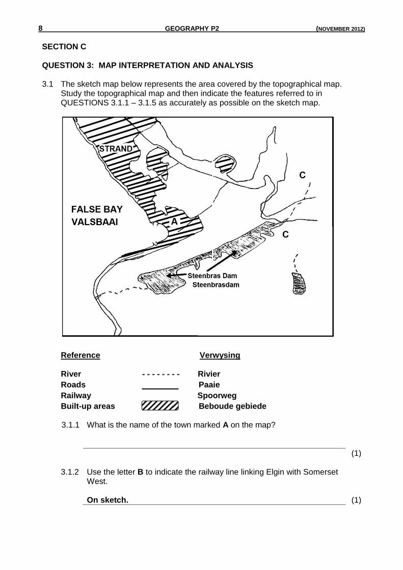
SECTION C QUESTION 3: MAP INTERPRETATION AND ANALYSIS 3.1 The sketch map below represents the area covered by the topographical map.
Study the topographical map and then indicate the features referred to in QUESTIONS 3.1.1 – 3.1.5 as accurately as possible on the sketch map.
Reference Verwysing River - - - - - - - - Rivier
Roads Paaie
Railway Spoorweg
Built-up areas Beboude gebiede
3.1.1 What is the name of the town marked A on the map?
(1) 3.1.2 Use the letter B to indicate the railway line linking Elgin with Somerset
West. On sketch. (1)
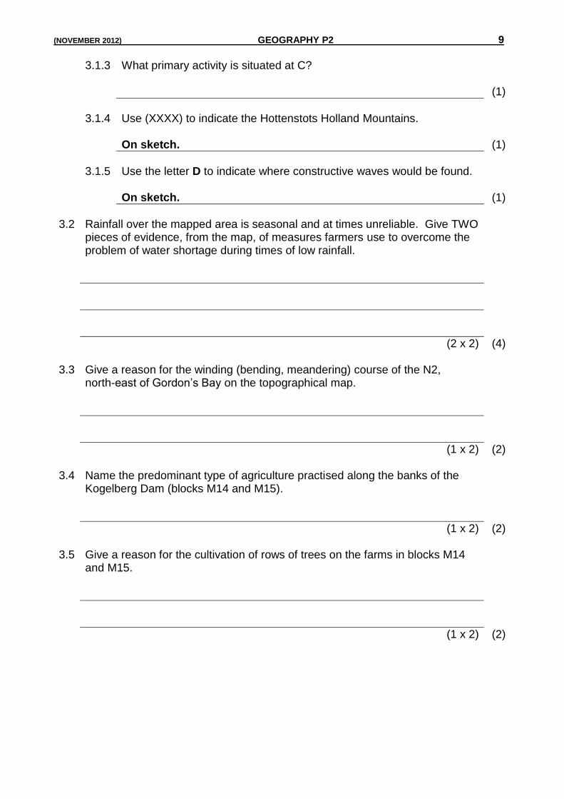
(NOVEMBER 2012) GEOGRAPHY P2 9
3.1.3 What primary activity is situated at C? (1)
3.1.4 Use (XXXX) to indicate the Hottenstots Holland Mountains. On sketch. (1)
3.1.5 Use the letter D to indicate where constructive waves would be found. On sketch. (1)
3.2 Rainfall over the mapped area is seasonal and at times unreliable. Give TWO
pieces of evidence, from the map, of measures farmers use to overcome the problem of water shortage during times of low rainfall.
(2 x 2) (4) 3.3 Give a reason for the winding (bending, meandering) course of the N2,
north-east of Gordon’s Bay on the topographical map.
(1 x 2) (2) 3.4 Name the predominant type of agriculture practised along the banks of the
Kogelberg Dam (blocks M14 and M15).
(1 x 2) (2) 3.5 Give a reason for the cultivation of rows of trees on the farms in blocks M14
and M15.
(1 x 2) (2)
10 GEOGRAPHY P2 (NOVEMBER 2012)
3.6 The industrial area of Somerset-West (block F6) has an ideal (very good)
location. Give and explain THREE factors that influence its location.
(3 x 2) (6)
3.7 Identify the cultural (man-made) features labelled P, Q, R and S on the orthophoto map. Choose from the list below. Use the topographical map as an aid to determine your answers.
School Factory Shopping Centre Reservoir P =
Q =
R =
S =
(4 x 2) (8)
3.8 Identify ONE physical factor that resulted in the area becoming a popular holiday destination.
(1 x 2) (2)
3.9 Somerset West is an important tourist destination. Using map evidence, list any THREE recreational opportunities that the town offers to tourists.
(3 x 2) (6)
3.10 In which province of South Africa is Somerset West situated?
(1 x 1) (1)
3.11 Which major city is situated nearest (closest) to Somerset West?
(1 x 2) (2) TOTAL SECTION C: 40
(NOVEMBER 2012) GEOGRAPHY P2 11
SECTION D QUESTION 4: GEOGRAPHICAL INFORMATION SYSTEMS (GIS) 4.1 Differentiate between spatial and attribute data. Spatial:
Attribute:
(2 x 2) (4) 4.2 Provide a real example of the following from the topographical map blocks A8,
L9 and L10. Point:
Line:
Polygon (Area): (3 x 2) (6) 4.3 Differentiate between vector and raster data. Vector:
Raster:
(Concept) (2 x 2) (4) 4.4 What is a Geographic Information System (GIS)?
(1 x 2) (2)
12 GEOGRAPHY P2 (NOVEMBER 2012)
4.5 Name any TWO components of a GIS.
(2 x 2) (4)
TOTAL SECTION D: 20 GRAND TOTAL: 100