Embed Size (px)
DESCRIPTION
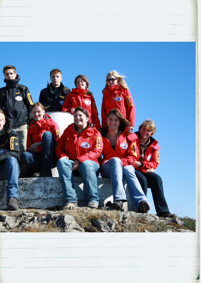
11 teenagers from 6 countries at the 4th international I.C.E. (Ice Climate Education) youth camp in Iceland
Citation preview
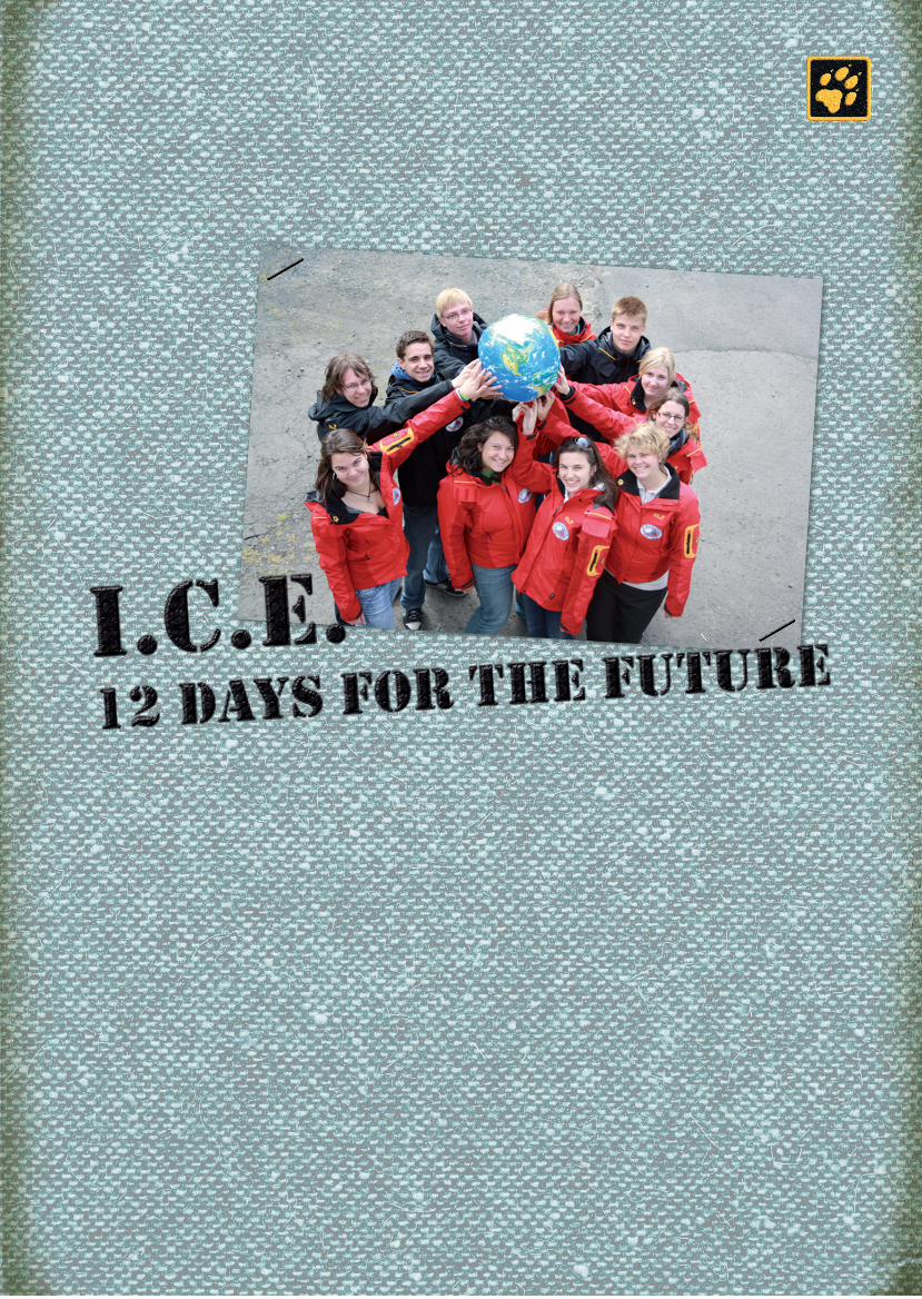
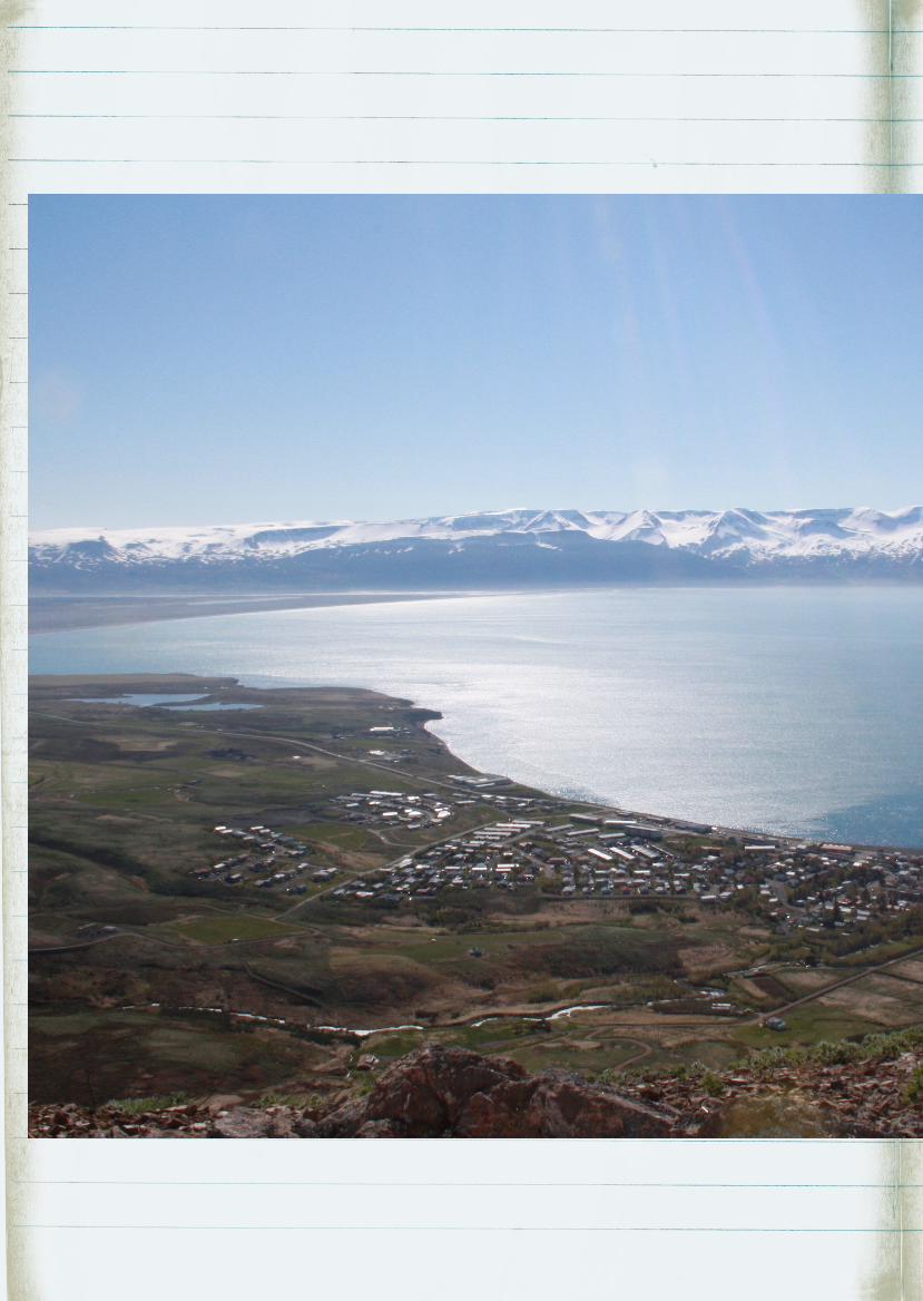
Húsavík, iceland,7 june 2010:
We’re all here! A mixed bunch, 11 teenagers from
6 countries. We all took part in the I.C.E. Com-
petition 2010 – and won a place in the fourth
international I.C.E. youth camp in Iceland. e
abbreviation stands for Ice Climate Education.
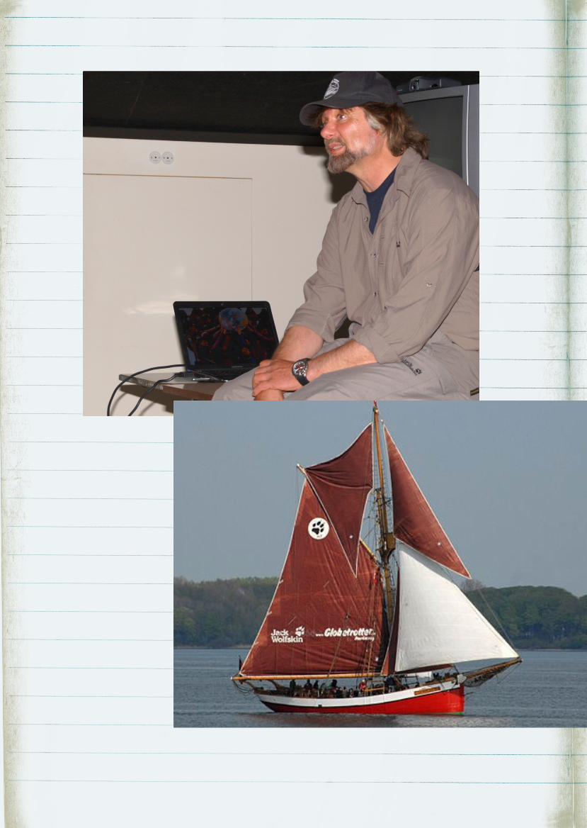
Arved Fuchs brought this climate project to life.
e thinking behind it is as follows: we, the youth
of today, have to find solutions for climate change
for tomorrow. It’s never too early to gather ideas,
not only from books but preferably in the field.
at’s why we’re here. Arved himself communi-
cates with us regularly by video conference. He is
on an expedition to Greenland with his ship, the
Dagmar Aaen.
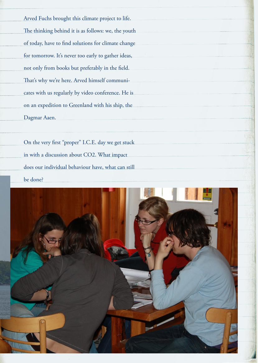
On the very first “proper” I.C.E. day we get stuck
in with a discussion about CO2. What impact
does our individual behaviour have, what can still
be done?
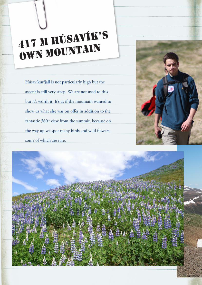
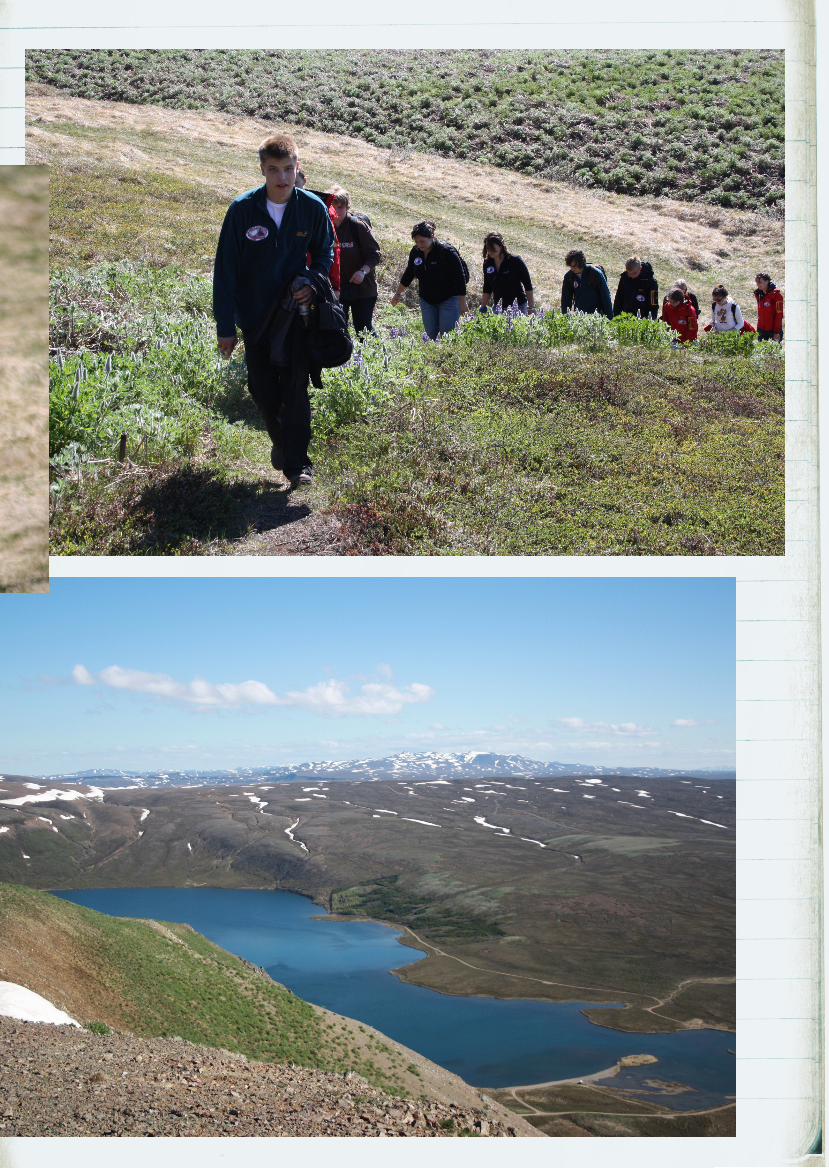
417 m Húsavík’s
own mountain
Húsavíkurall is not particularly high but the
ascent is still very steep. We are not used to this
but it’s worth it. It’s as if the mountain wanted to
show us what else was on offer in addition to the
fantastic 360º view from the summit, because on
the way up we spot many birds and wild flowers,
some of which are rare.
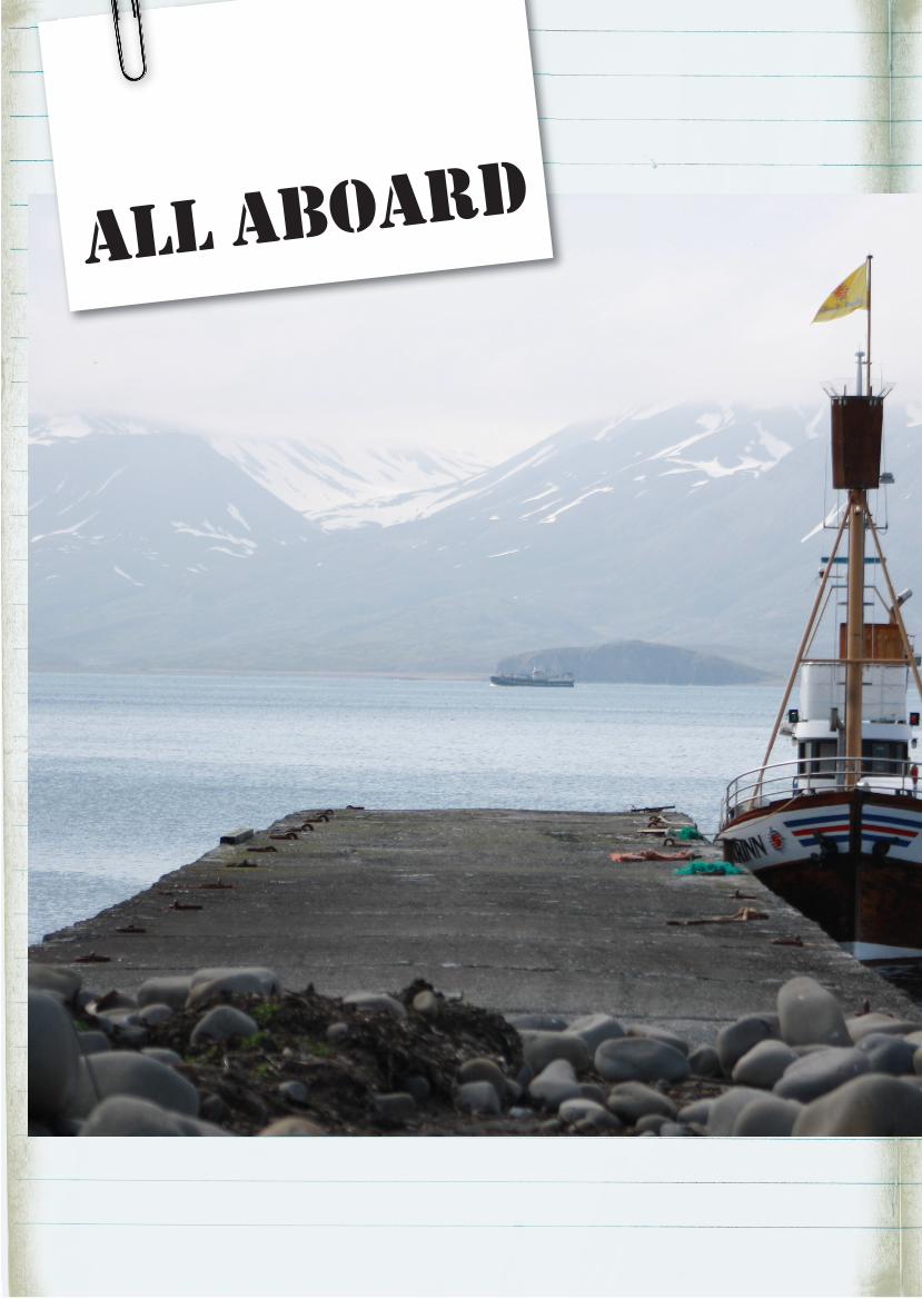
all aboard
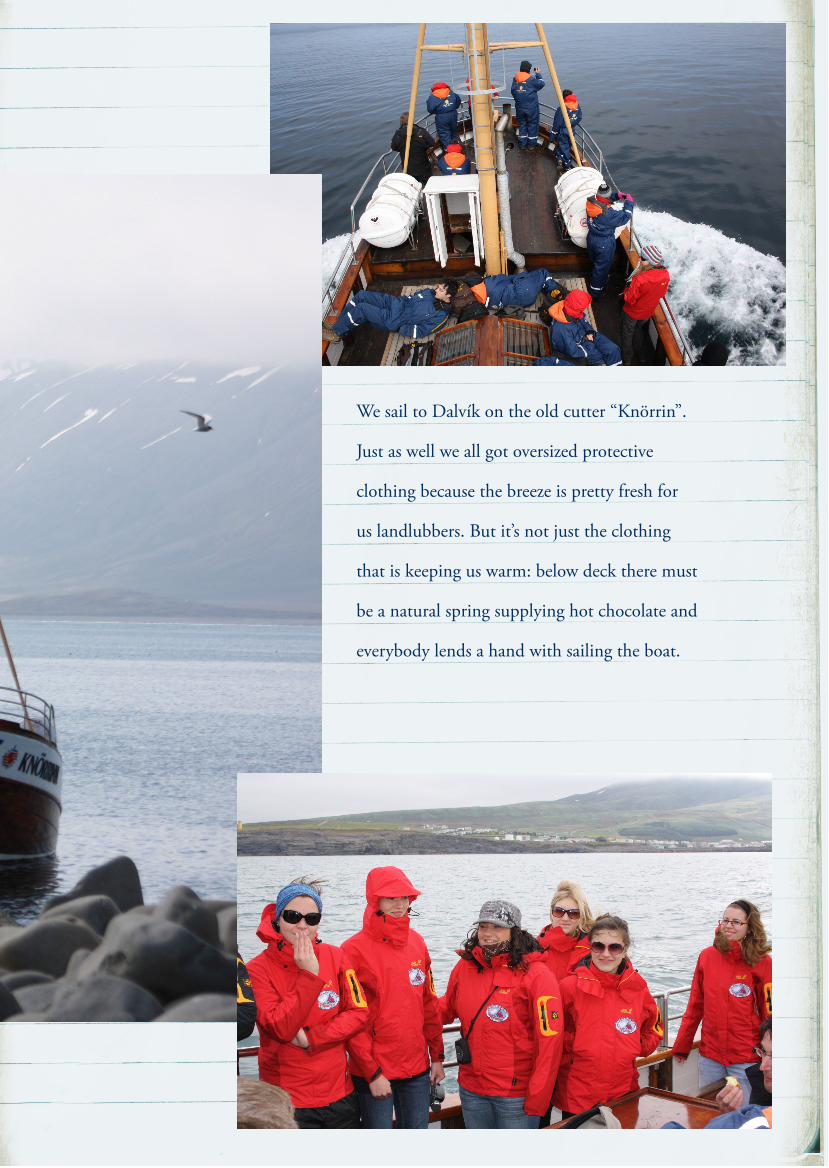
We sail to Dalvík on the old cutter “Knörrin”.
Just as well we all got oversized protective
clothing because the breeze is pretty fresh for
us landlubbers. But it’s not just the clothing
that is keeping us warm: below deck there must
be a natural spring supplying hot chocolate and
everybody lends a hand with sailing the boat.
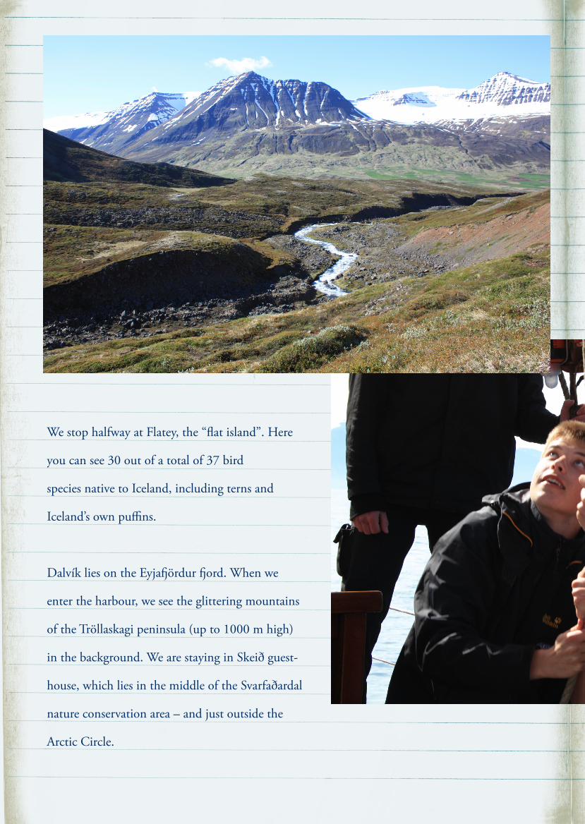
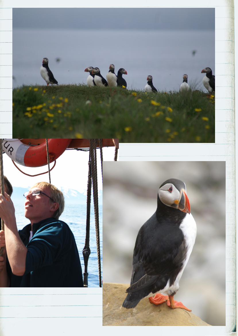
We stop halfway at Flatey, the “flat island”. Here
you can see 30 out of a total of 37 bird
species native to Iceland, including terns and
Iceland’s own puffins.
Dalvík lies on the Eyjaördur ord. When we
enter the harbour, we see the glittering mountains
of the Tröllaskagi peninsula (up to 1000 m high)
in the background. We are staying in Skeið guest-
house, which lies in the middle of the Svarfaðardal
nature conservation area – and just outside the
Arctic Circle.
Of course, climate change is going to be the focus
of I.C.E. Everybody describes the effects in their
own country, each time giving us a fresh perspec-
tive on the topic.
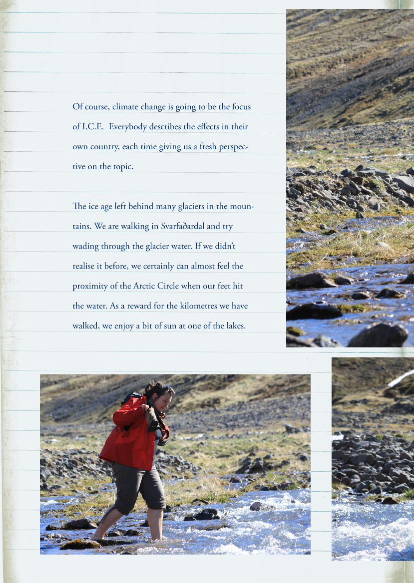
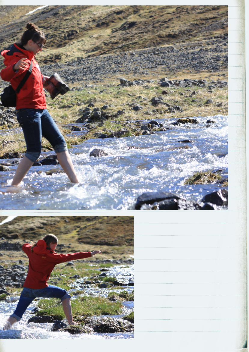
e ice age left behind many glaciers in the moun-
tains. We are walking in Svarfaðardal and try
wading through the glacier water. If we didn’t
realise it before, we certainly can almost feel the
proximity of the Arctic Circle when our feet hit
the water. As a reward for the kilometres we have
walked, we enjoy a bit of sun at one of the lakes.
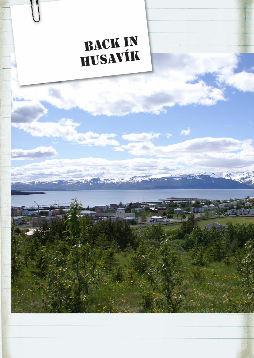
back in
Husavík
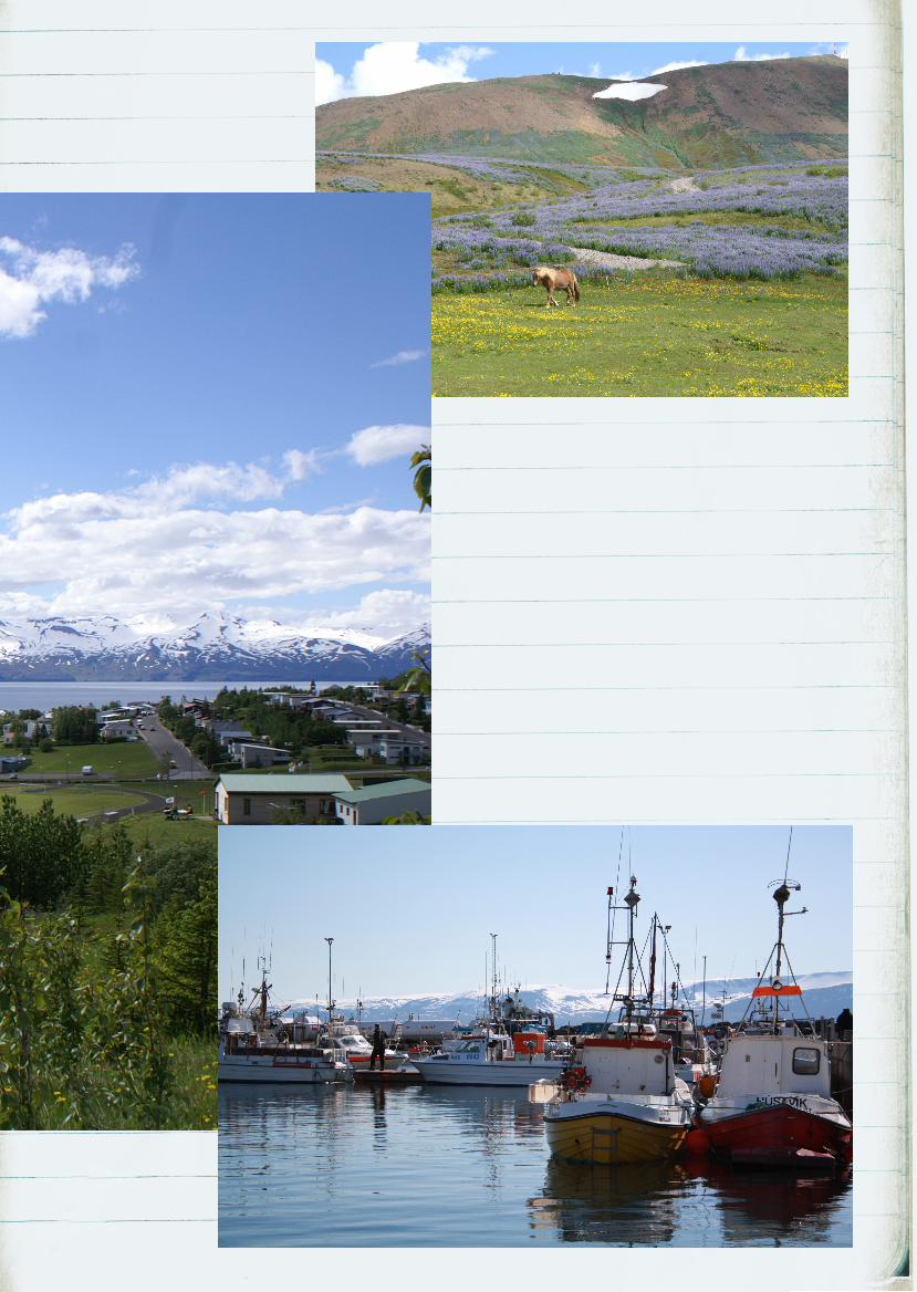
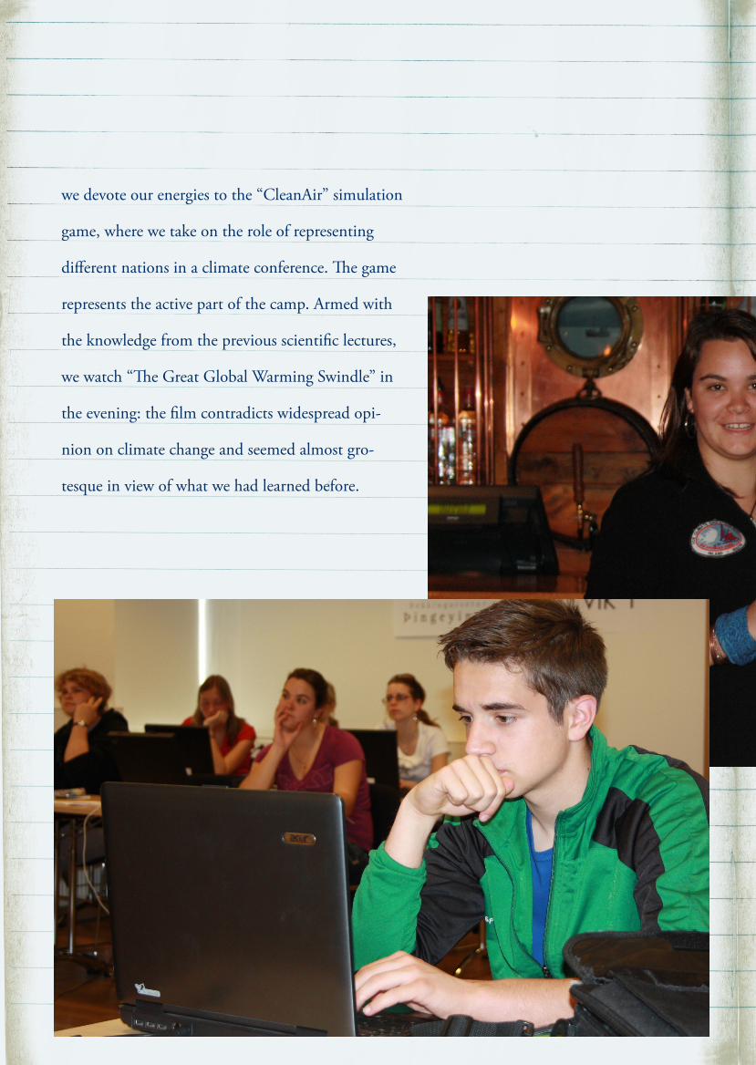
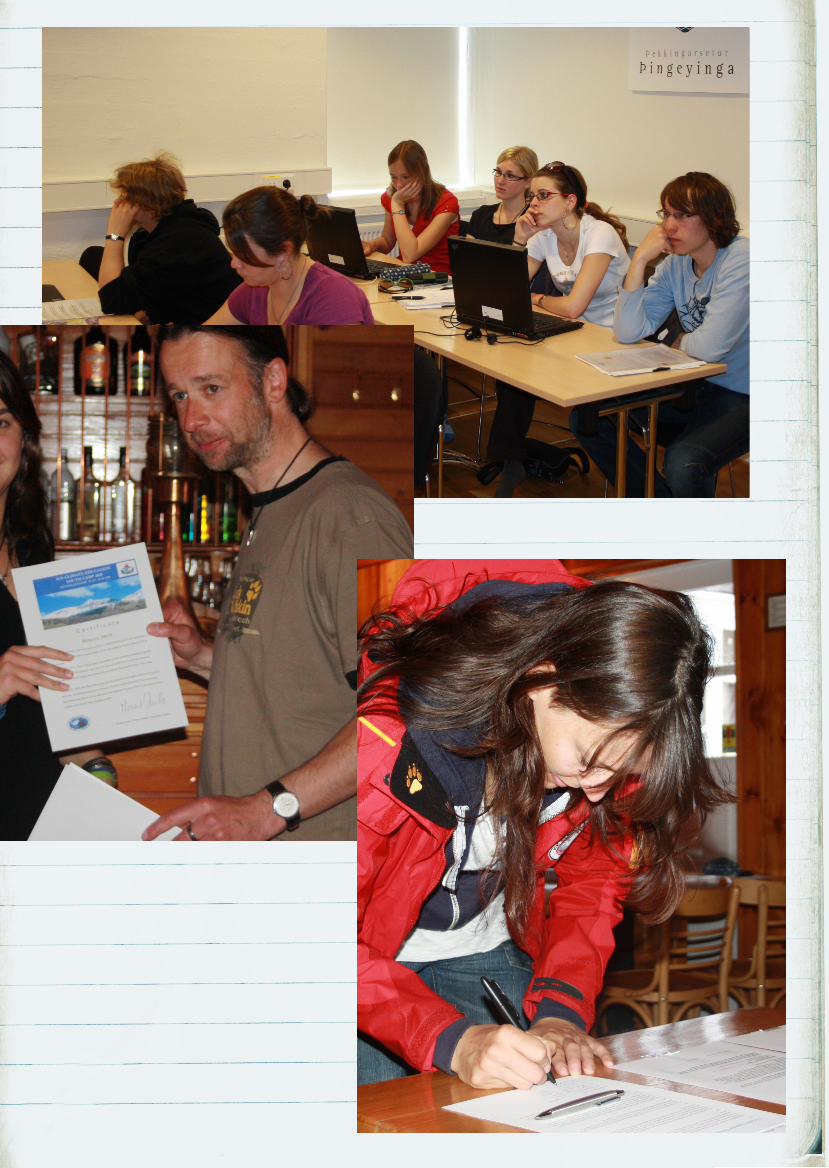
we devote our energies to the “CleanAir” simulation
game, where we take on the role of representing
different nations in a climate conference. e game
represents the active part of the camp. Armed with
the knowledge from the previous scientific lectures,
we watch “e Great Global Warming Swindle” in
the evening: the film contradicts widespread opi-
nion on climate change and seemed almost gro-
tesque in view of what we had learned before.
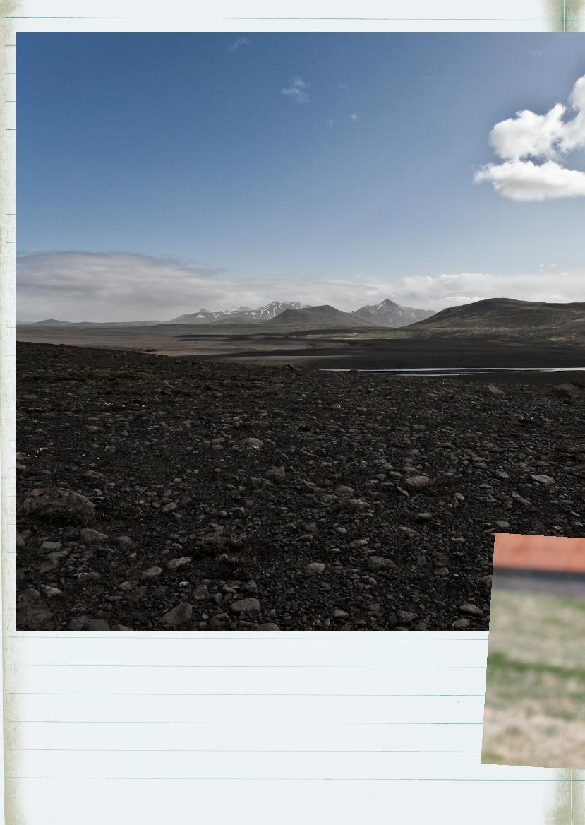
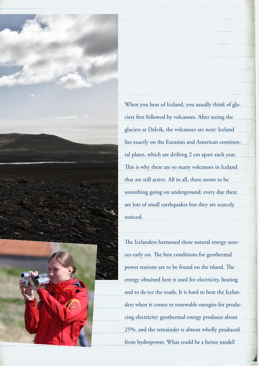
When you hear of Iceland, you usually think of gla-
ciers first followed by volcanoes. After seeing the
glaciers at Dalvik, the volcanoes are next: Iceland
lies exactly on the Eurasian and American continen-
tal plates, which are drifting 2 cm apart each year.
is is why there are so many volcanoes in Iceland
that are still active. All in all, there seems to be
something going on underground: every day there
are lots of small earthquakes but they are scarcely
noticed.
e Icelanders harnessed these natural energy sour-
ces early on. e best conditions for geothermal
power stations are to be found on the island. e
energy obtained here is used for electricity, heating
and to de-ice the roads. It is hard to beat the Icelan-
ders when it comes to renewable energies for produ-
cing electricity: geothermal energy produces about
25%, and the remainder is almost wholly produced
from hydropower. What could be a better model!
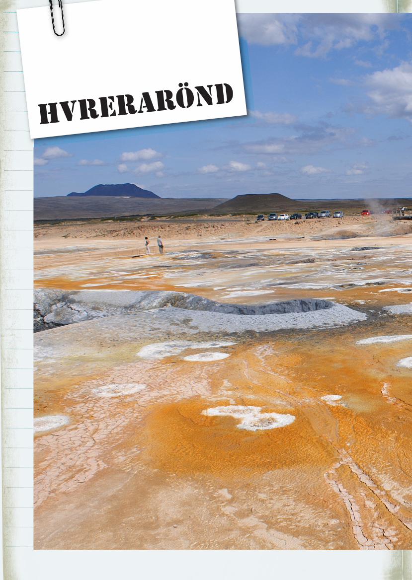
Hvrerarönd
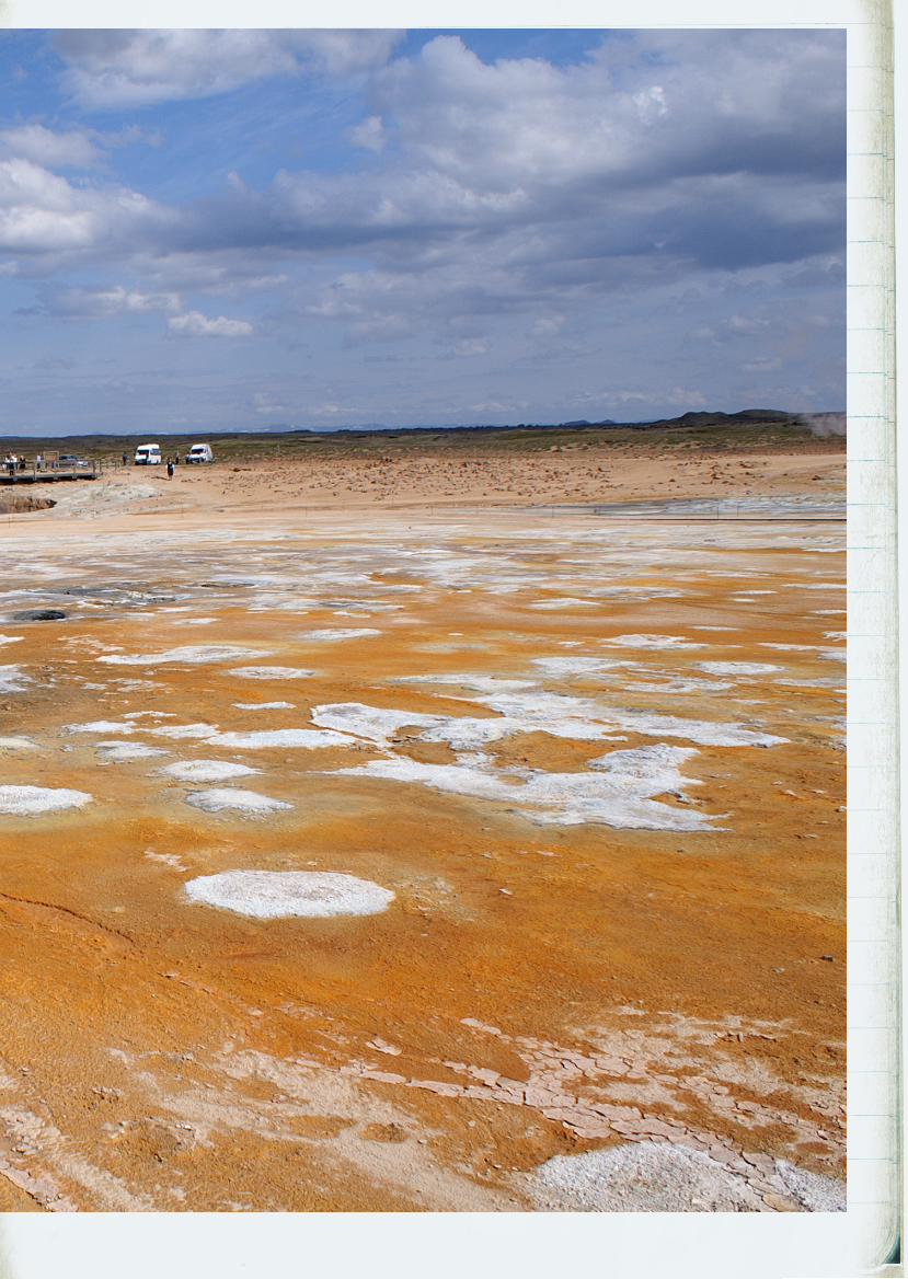
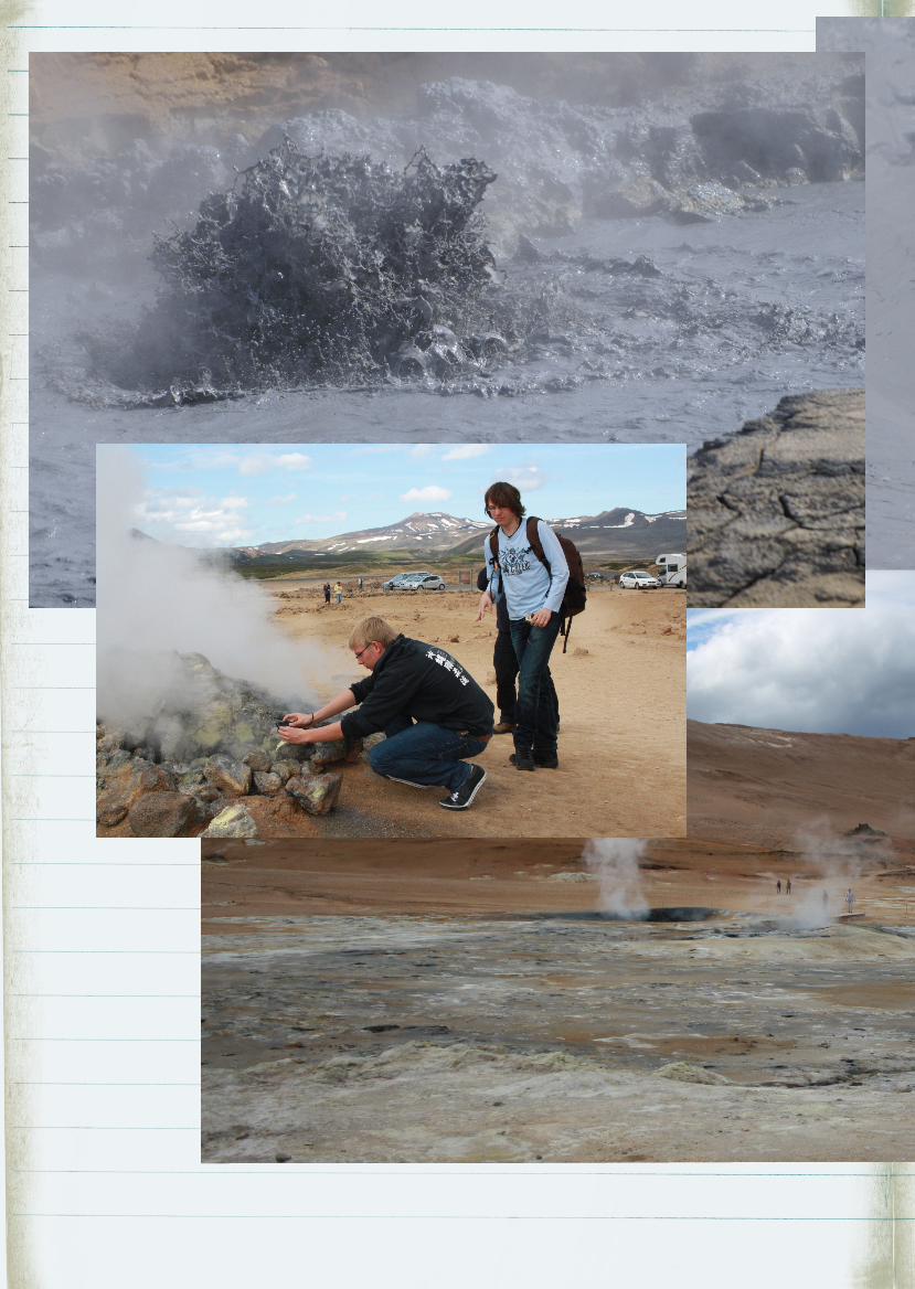
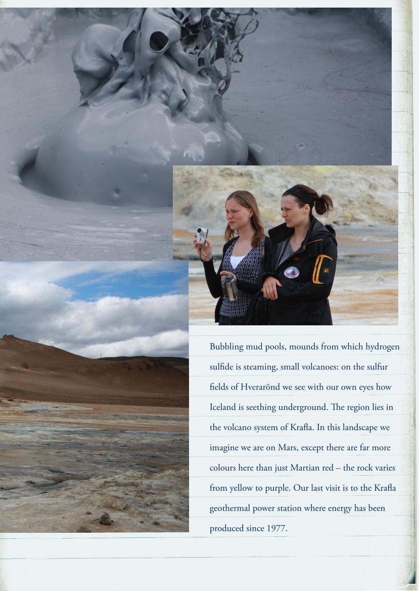
Bubbling mud pools, mounds from which hydrogen
sulfide is steaming, small volcanoes: on the sulfur
fields of Hverarönd we see with our own eyes how
Iceland is seething underground. e region lies in
the volcano system of Krafla. In this landscape we
imagine we are on Mars, except there are far more
colours here than just Martian red – the rock varies
from yellow to purple. Our last visit is to the Krafla
geothermal power station where energy has been
produced since 1977.
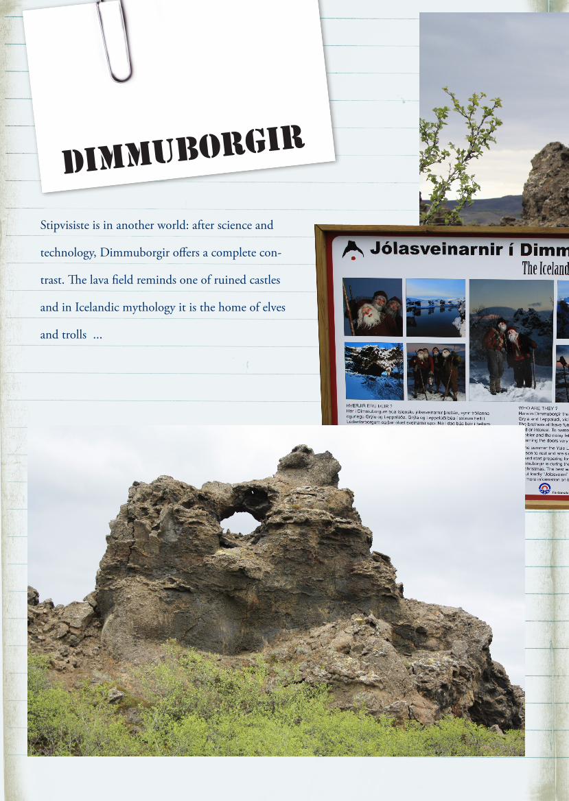
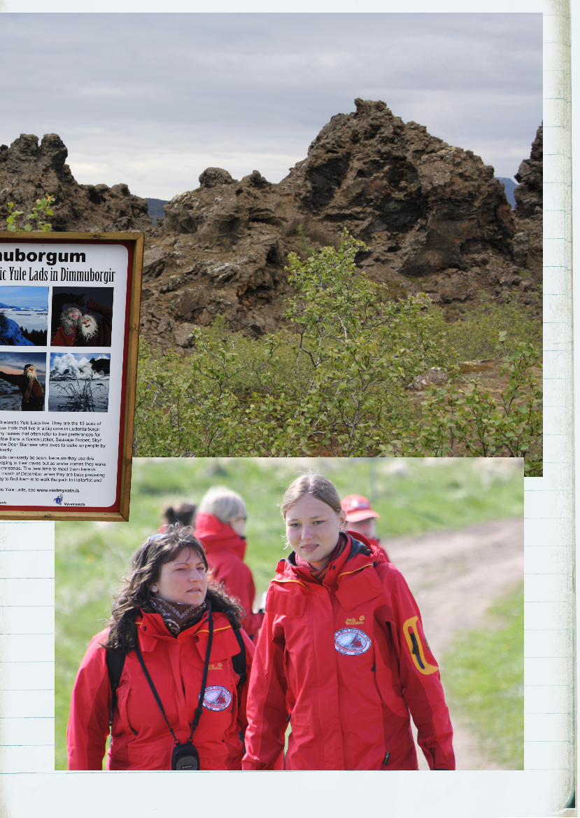
dimmuborgir
Stipvisiste is in another world: after science and
technology, Dimmuborgir offers a complete con-
trast. e lava field reminds one of ruined castles
and in Icelandic mythology it is the home of elves
and trolls ...
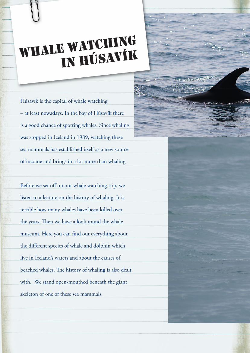
Húsavík is the capital of whale watching
– at least nowadays. In the bay of Húsavík there
is a good chance of spotting whales. Since whaling
was stopped in Iceland in 1989, watching these
sea mammals has established itself as a new source
of income and brings in a lot more than whaling.
Before we set off on our whale watching trip, we
listen to a lecture on the history of whaling. It is
terrible how many whales have been killed over
the years. en we have a look round the whale
museum. Here you can find out everything about
the different species of whale and dolphin which
live in Iceland’s waters and about the causes of
beached whales. e history of whaling is also dealt
with. We stand open-mouthed beneath the giant
skeleton of one of these sea mammals.
wHale watcHing
in Húsavík
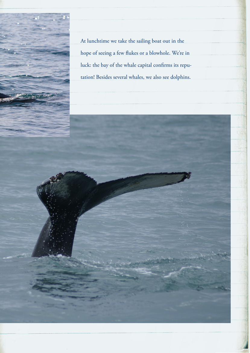
At lunchtime we take the sailing boat out in the
hope of seeing a few flukes or a blowhole. We’re in
luck: the bay of the whale capital confirms its repu-
tation! Besides several whales, we also see dolphins.
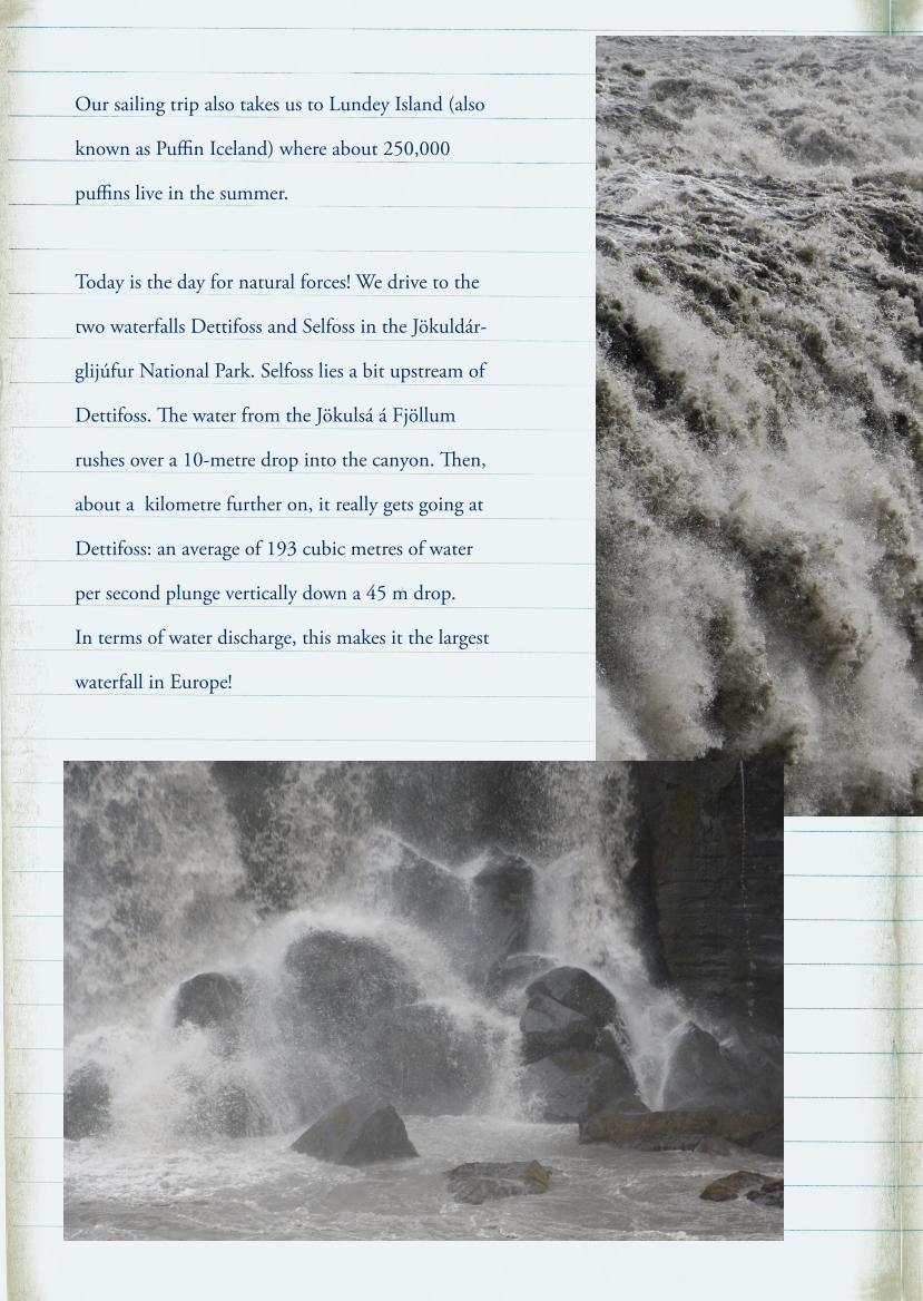
Our sailing trip also takes us to Lundey Island (also
known as Puffin Iceland) where about 250,000
puffins live in the summer.
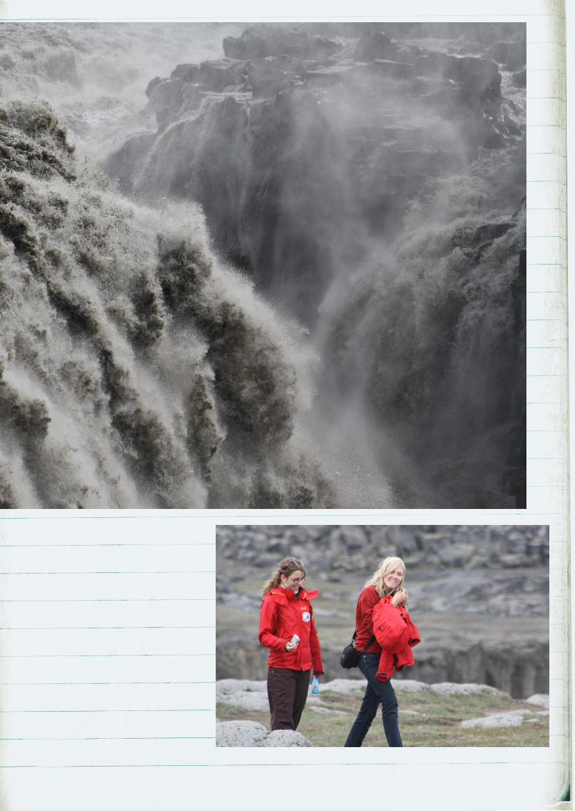
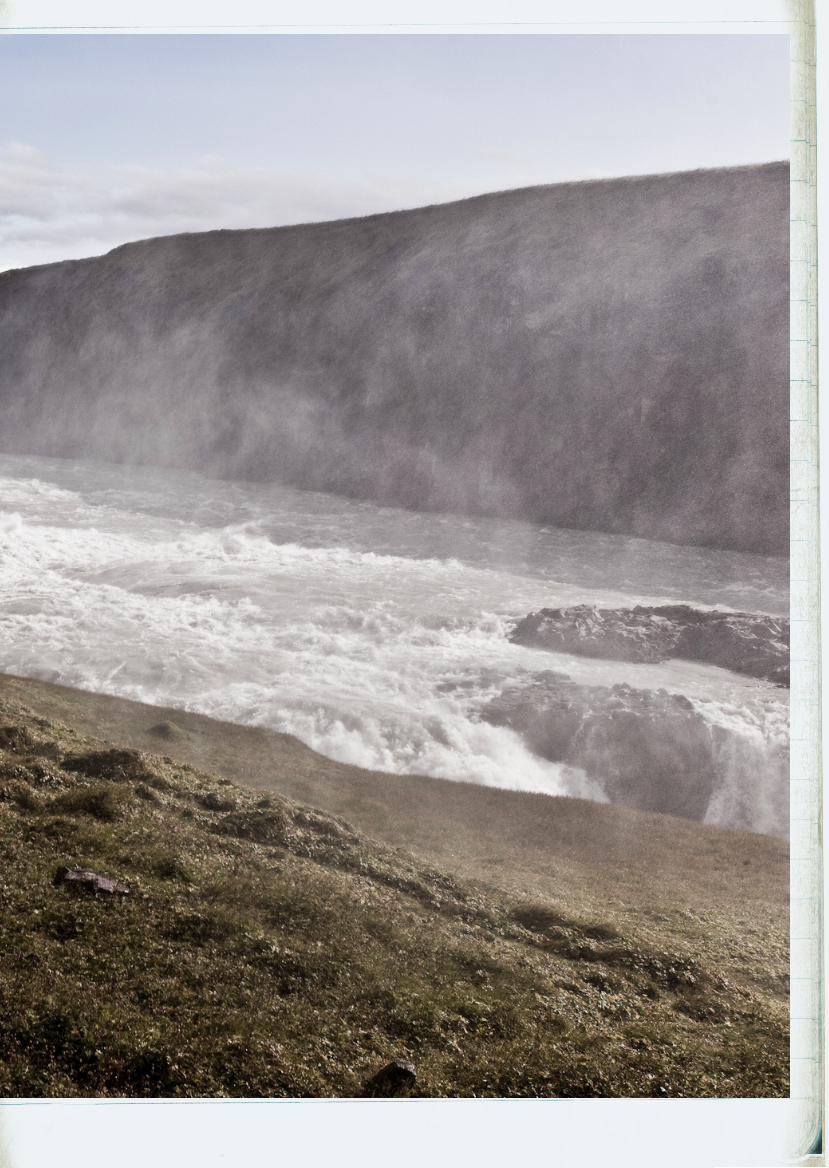
Today is the day for natural forces! We drive to the
two waterfalls Dettifoss and Selfoss in the Jökuldár-
glijúfur National Park. Selfoss lies a bit upstream of
Dettifoss. e water from the Jökulsá á Fjöllum
rushes over a 10-metre drop into the canyon. en,
about a kilometre further on, it really gets going at
Dettifoss: an average of 193 cubic metres of water
per second plunge vertically down a 45 m drop.
In terms of water discharge, this makes it the largest
waterfall in Europe!
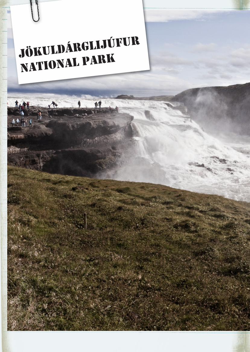
jökuldárglijúfur
national park
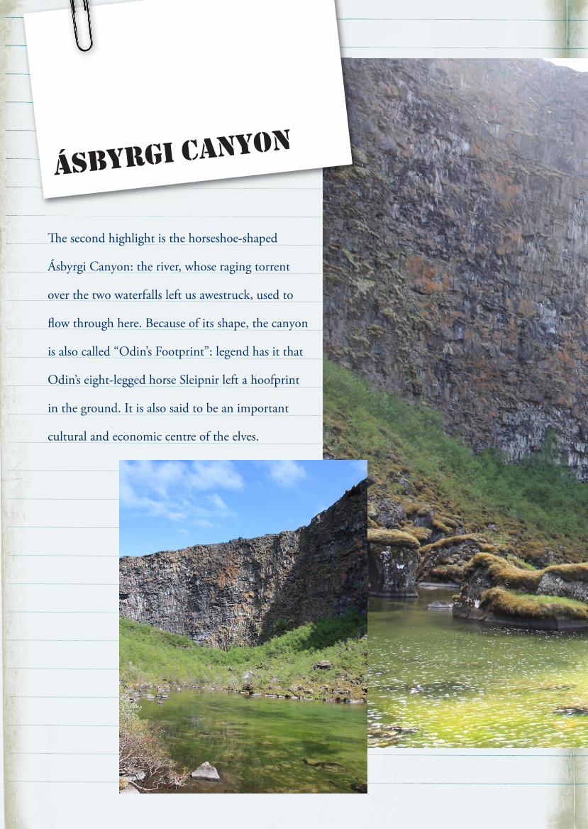
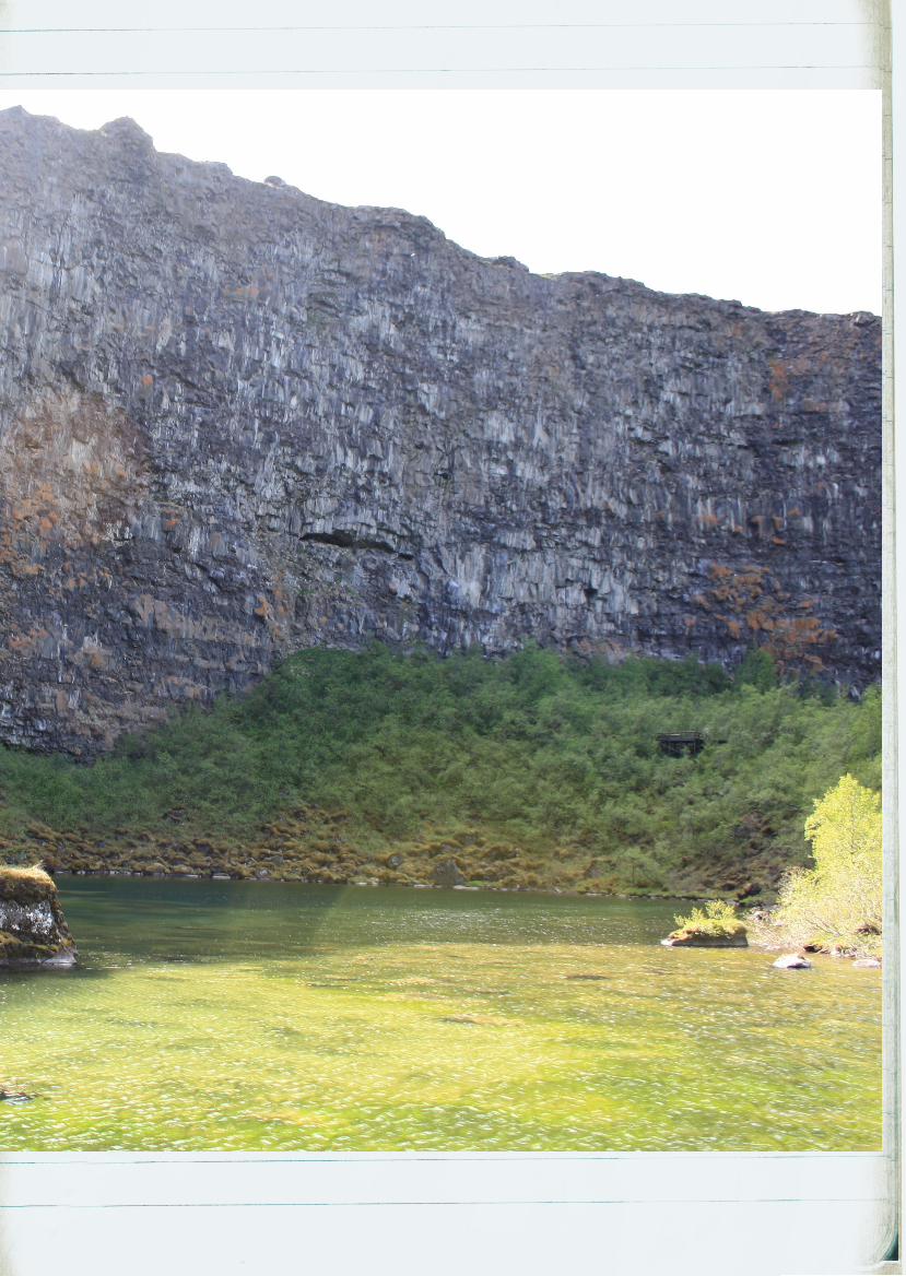
e second highlight is the horseshoe-shaped
Ásbyrgi Canyon: the river, whose raging torrent
over the two waterfalls left us awestruck, used to
flow through here. Because of its shape, the canyon
is also called “Odin’s Footprint”: legend has it that
Odin’s eight-legged horse Sleipnir left a hoofprint
in the ground. It is also said to be an important
cultural and economic centre of the elves.
ásbyrgi canyon
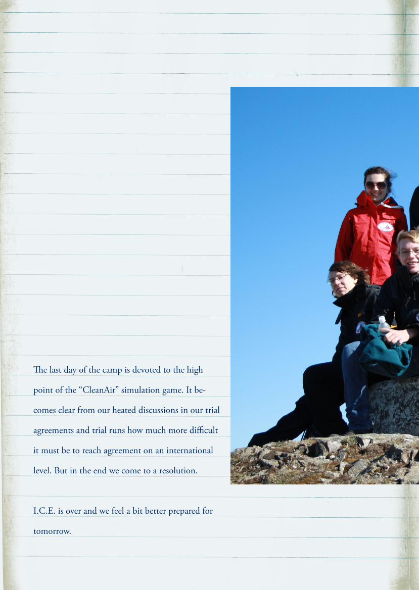
e last day of the camp is devoted to the high
point of the “CleanAir” simulation game. It be-
comes clear from our heated discussions in our trial
agreements and trial runs how much more difficult
it must be to reach agreement on an international
level. But in the end we come to a resolution.
I.C.E. is over and we feel a bit better prepared for
tomorrow.
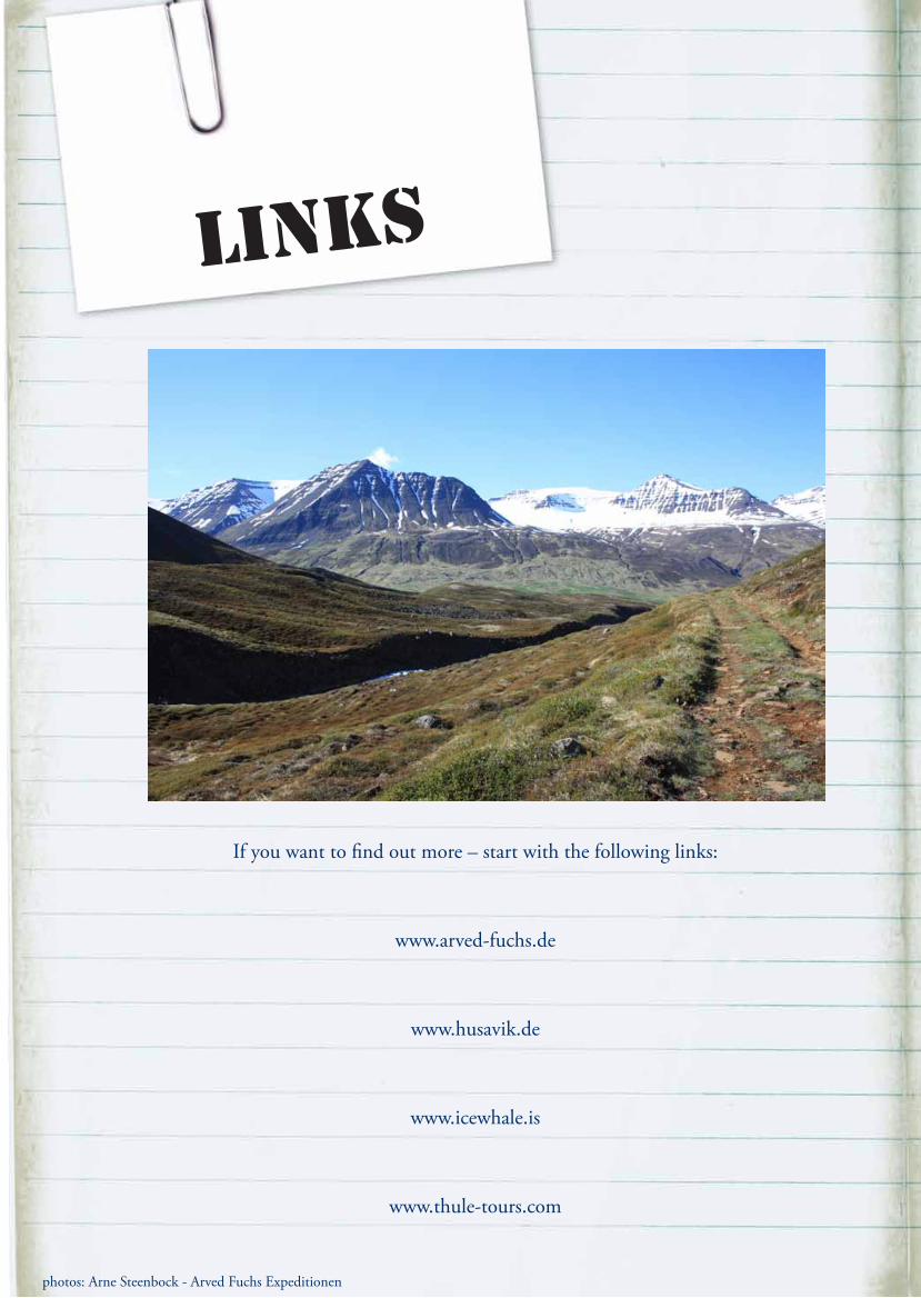
Links
If you want to find out more – start with the following links:
www.arved-fuchs.de
www.husavik.de
www.icewhale.is
www.thule-tours.com
photos: Arne Steenbock - Arved Fuchs Expeditionen
ICE_Story_eng_neu_100824_Layout 1 25.08.10 15:31 Seite 36