Embed Size (px)
Citation preview
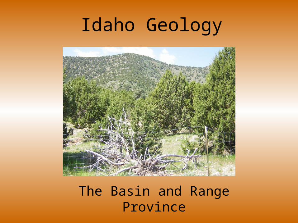
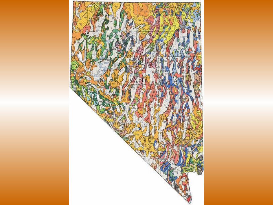
Idaho Geology
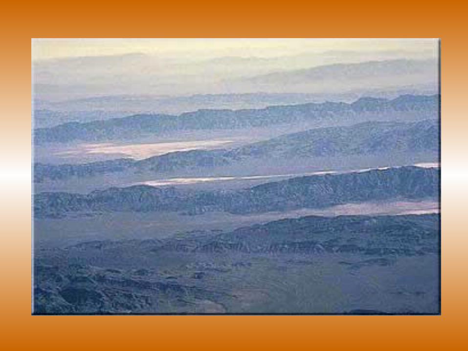
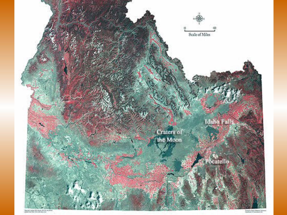
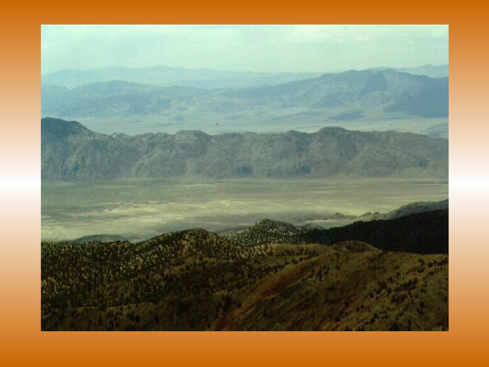
The Basin and Range Province
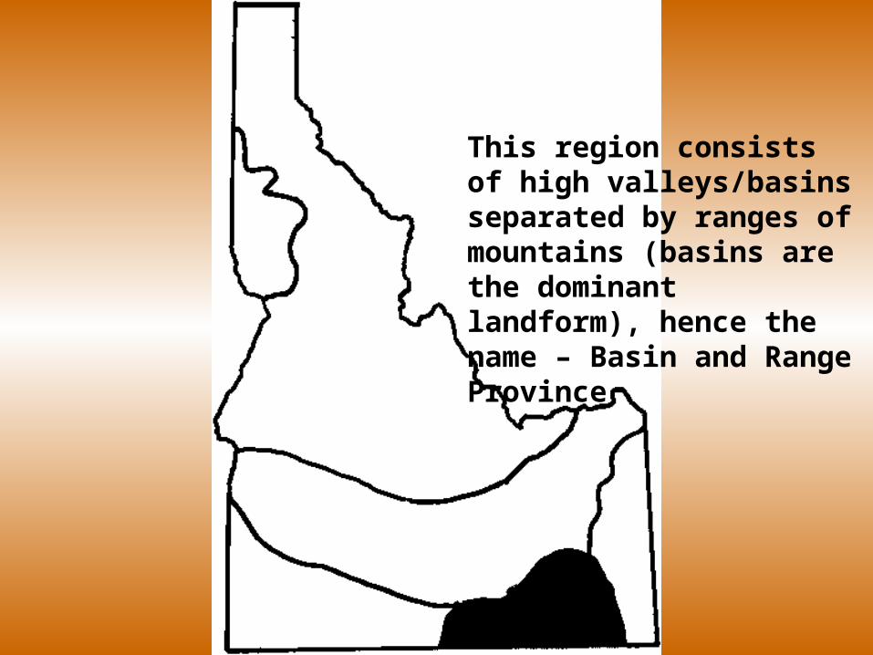
This region consists of high valleys/basins separated by ranges of mountains (basins are the dominant landform), hence the name – Basin and Range Province
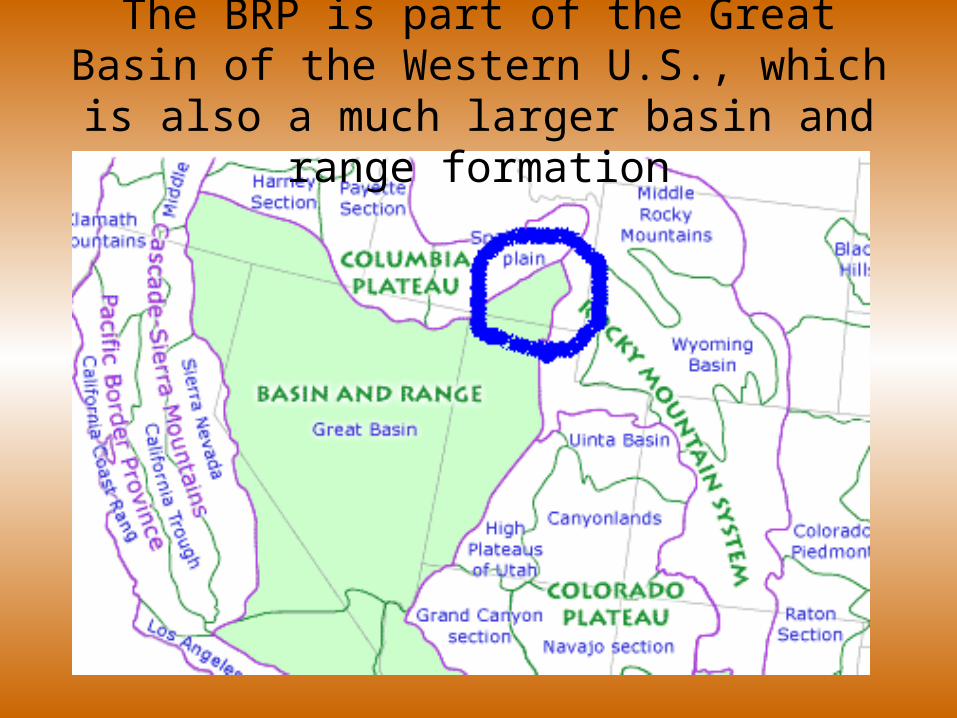
The BRP is part of the Great Basin of the Western U.S., which is also a much larger
basin and range formation
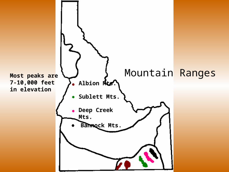
Albion Mts.
Sublett Mts.
Deep Creek Mts.
Bannock Mts.
Mountain RangesMost peaks are 7-10,000 feet in elevation
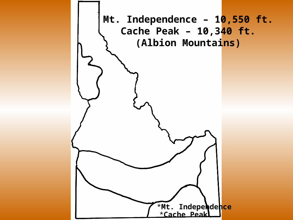
*Mt. Independence*Cache Peak
Mt. Independence – 10,550 ft.Cache Peak – 10,340 ft.
(Albion Mountains)
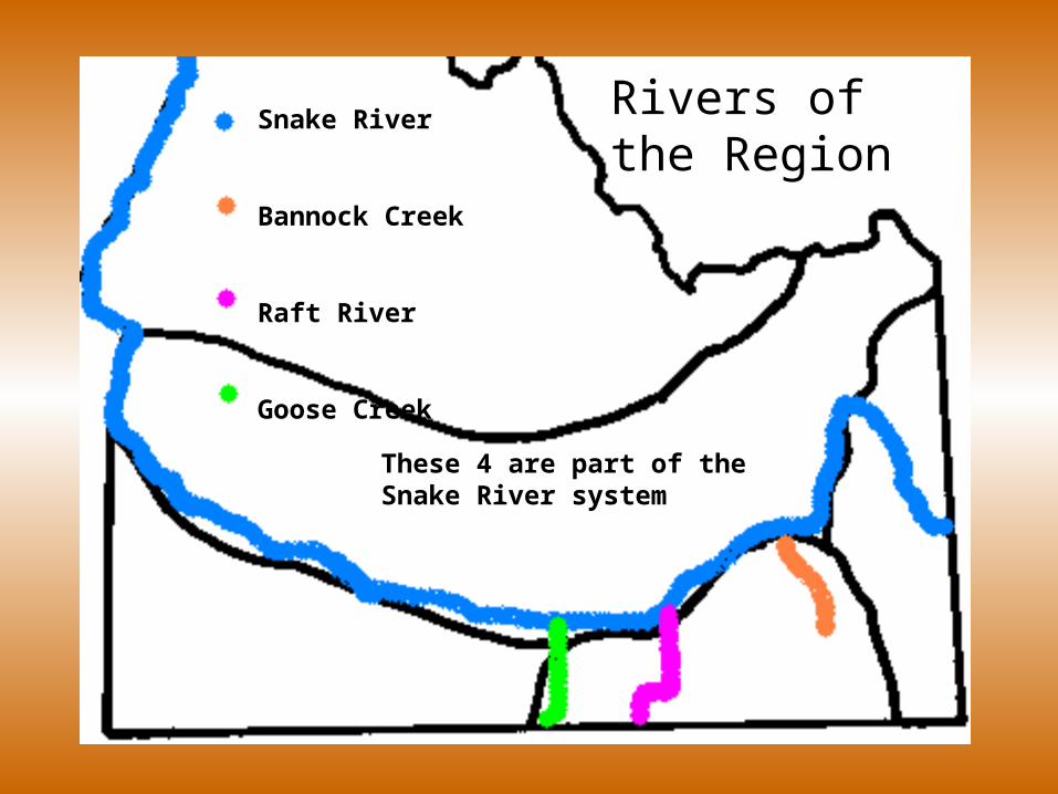
Snake River
Bannock Creek
Raft River
Goose Creek
Rivers of the Region
These 4 are part of the Snake River system
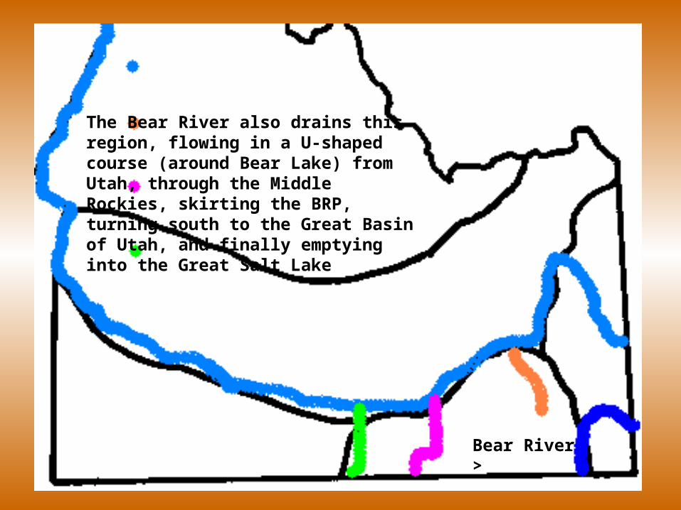
Bear River >
The Bear River also drains this region, flowing in a U-shaped course (around Bear Lake) from Utah, through the Middle Rockies, skirting the BRP, turning south to the Great Basin of Utah, and finally emptying into the Great Salt Lake
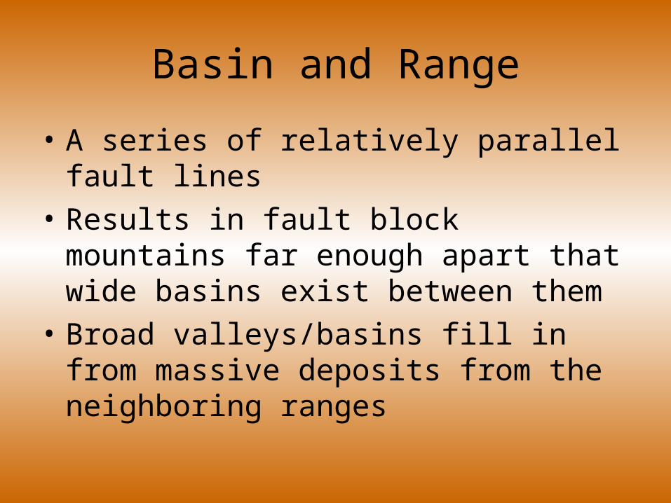
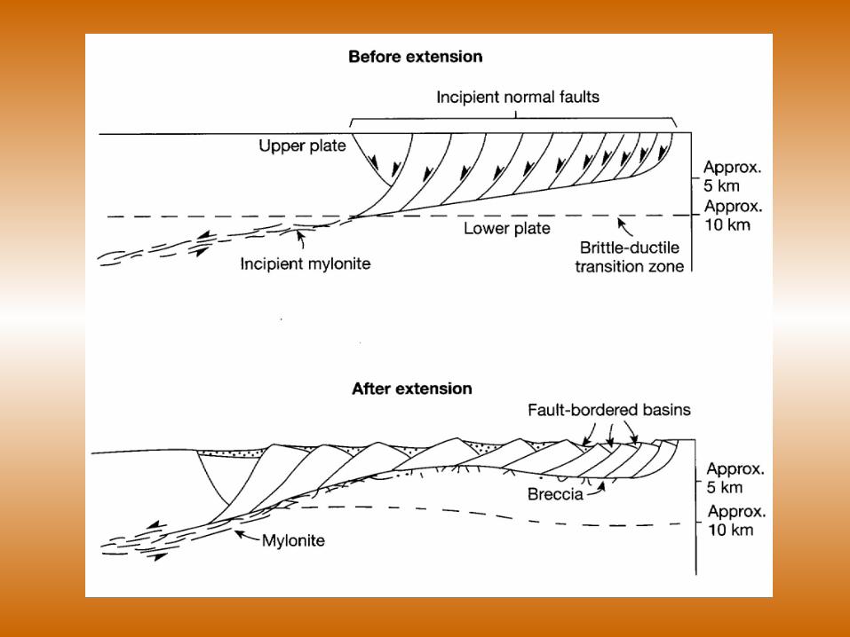
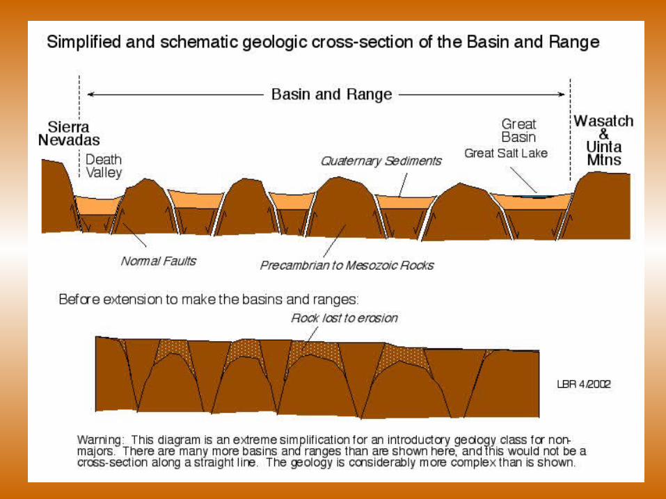
Basin and Range
• A series of relatively parallel fault lines
• Results in fault block mountains far enough apart that wide basins exist between them
• Broad valleys/basins fill in from massive deposits from the neighboring ranges
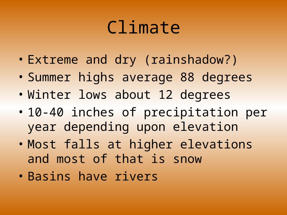
Climate
• Extreme and dry (rainshadow?)
• Summer highs average 88 degrees
• Winter lows about 12 degrees
• 10-40 inches of precipitation per year depending upon elevation
• Most falls at higher elevations and most of that is snow
• Basins have rivers
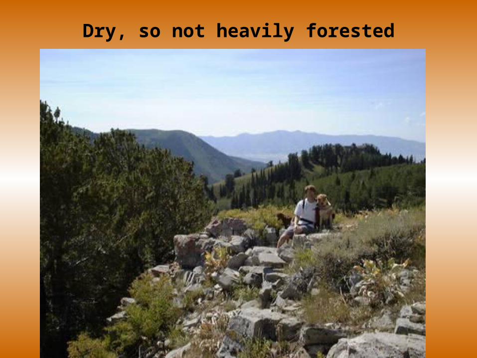
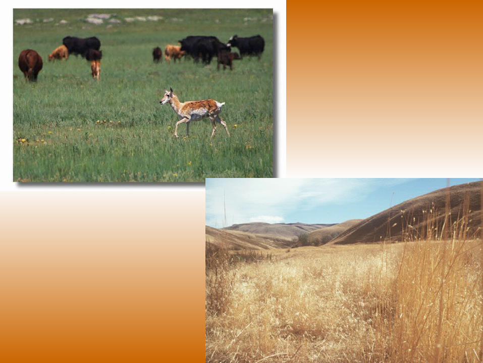
Dry, so not heavily forested
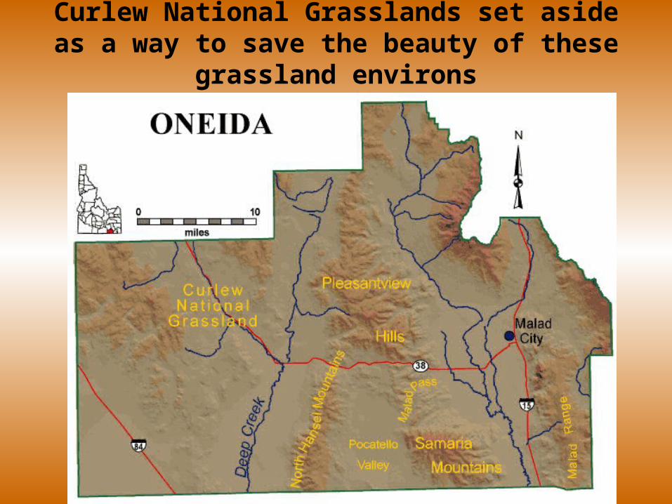
Curlew National Grasslands set aside as a way to save the beauty of these grassland environs
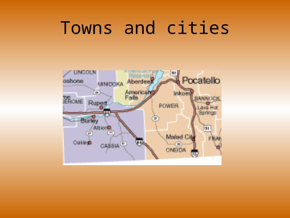
Towns and cities

The End