Embed Size (px)
Citation preview
Improving Accessto the CountrysidePlanning Bulletin 17 | March 2006
www.sportengland.org/spatialplanning
Improving Access to the Countryside | Planning Bulletin 17 01
On 31 October 2005 new access rightsto the countryside commenced in thefinal two areas of England under theCountryside and Rights of Way Act 2000(CROW). Walkers in the West Midlandsand the East of England regions cannow join their counterparts in the restof England and enjoy open access rightson areas of mountain, moor, heath anddown, most of which had previouslybeen off-limits.
The countryside offers a range of benefitsto people’s quality of life, health and wellbeing. It offers the opportunity for freshair, to enjoy scenery, healthy exercise,adventure, recreation and appreciationof nature. Local economies benefit too,from the income generated by visitorsfor goods, services and facilities.
Walking for the great majority of us isa basic human activity. It is low cost, asustainable form of transport and countstowards the Government’s recommendationof 30 minutes of moderate exercise tobe taken five days a week, to maintaina healthy lifestyle.
As a form of recreation, walking is aflexible activity, with participants of allages being able to walk on their ownor as part of a group, within urban areasor in the countryside. The other greatadvantage is that walking is free withoutneed for subscription or specialist skillsor equipment catering for incomebracket and culture.
Studies by the British Heart Foundation,amongst others, have shown thatwalking can:
– reduce the risk of coronary heart disease and stroke;
– lower blood pressure;– reduce body fat;– enhance mental well being;– help to control body weight;– help flexibility and co-ordination hence
reducing the risk of falls.
Walking has formed the cornerstone ofrecent campaigns to encourage peopleto be more active including Take 30 byThe Ramblers and Everyday Sportby Sport England, developing the 30minutes of moderate daily exerciseas recommended by health experts.
Introduction 01
Historical Perspective 02
The Countryside & Rights of Way Act 2000 05
Access to Water 06
The Natural Environment and Rural Communities Bill 09
The Future 12
Case Study 01 – Foxrush Farm Community Woodland 13
Case Study 02 – Gillingham Three Rivers Partnership 14
Case Study 03 – The Wooler Cycle Route 15
Information 16
Introduction
02 Improving Access to the Countryside | Planning Bulletin 17
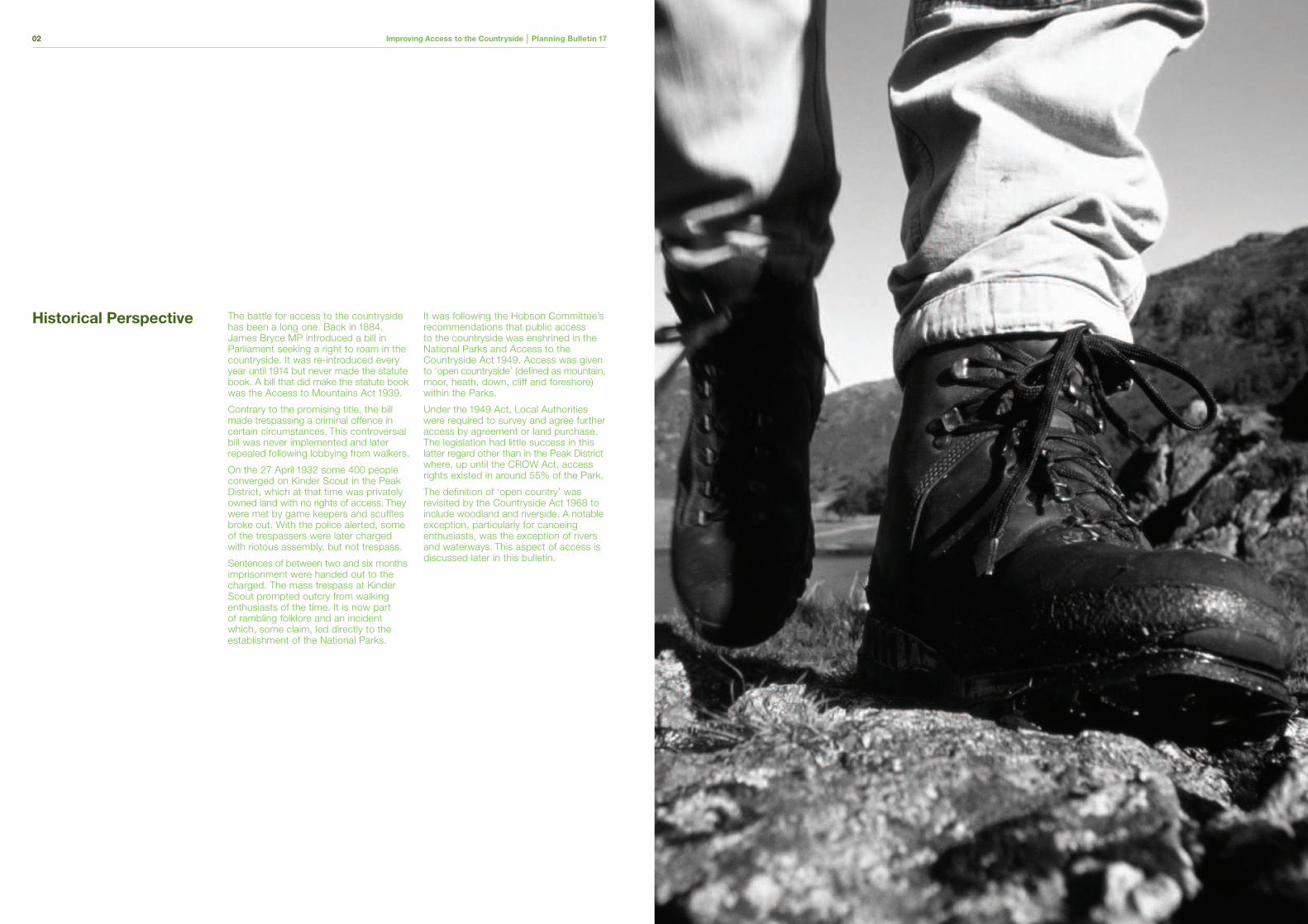
The battle for access to the countrysidehas been a long one. Back in 1884,James Bryce MP introduced a bill inParliament seeking a right to roam in thecountryside. It was re-introduced everyyear until 1914 but never made the statutebook. A bill that did make the statute bookwas the Access to Mountains Act 1939.
Contrary to the promising title, the billmade trespassing a criminal offence incertain circumstances. This controversialbill was never implemented and laterrepealed following lobbying from walkers.
On the 27 April 1932 some 400 peopleconverged on Kinder Scout in the PeakDistrict, which at that time was privatelyowned land with no rights of access. Theywere met by game keepers and scufflesbroke out. With the police alerted, someof the trespassers were later chargedwith riotous assembly, but not trespass.
Sentences of between two and six monthsimprisonment were handed out to thecharged. The mass trespass at KinderScout prompted outcry from walkingenthusiasts of the time. It is now partof rambling folklore and an incidentwhich, some claim, led directly to theestablishment of the National Parks.
It was following the Hobson Committee’srecommendations that public accessto the countryside was enshrined in theNational Parks and Access to theCountryside Act 1949. Access was givento ‘open countryside’ (defined as mountain,moor, heath, down, cliff and foreshore)within the Parks.
Under the 1949 Act, Local Authoritieswere required to survey and agree furtheraccess by agreement or land purchase.The legislation had little success in thislatter regard other than in the Peak Districtwhere, up until the CROW Act, accessrights existed in around 55% of the Park.
The definition of ‘open country’ wasrevisited by the Countryside Act 1968 toinclude woodland and riverside. A notableexception, particularly for canoeingenthusiasts, was the exception of riversand waterways. This aspect of access isdiscussed later in this bulletin.
Historical Perspective
Improving Access to the Countryside | Planning Bulletin 17 05
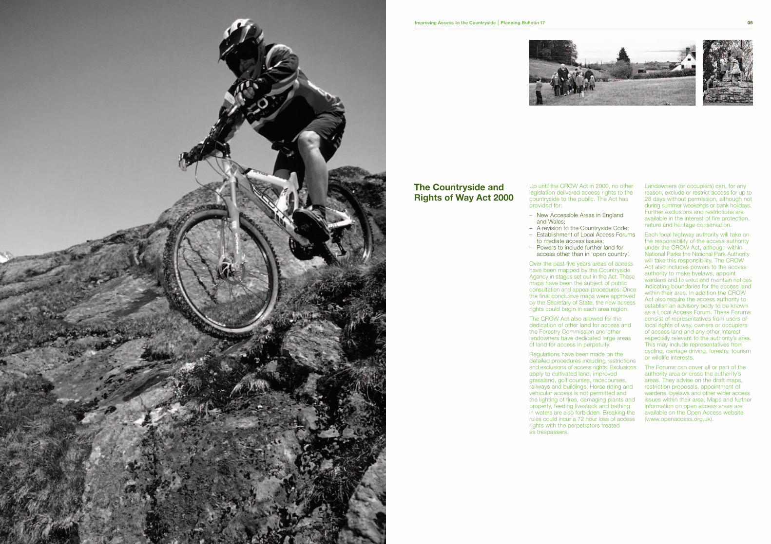
Up until the CROW Act in 2000, no otherlegislation delivered access rights to thecountryside to the public. The Act hasprovided for:
– New Accessible Areas in Englandand Wales;
– A revision to the Countryside Code;– Establishment of Local Access Forums
to mediate access issues;– Powers to include further land for
access other than in ‘open country’.
Over the past five years areas of accesshave been mapped by the CountrysideAgency in stages set out in the Act. Thesemaps have been the subject of publicconsultation and appeal procedures. Oncethe final conclusive maps were approvedby the Secretary of State, the new accessrights could begin in each area region.
The CROW Act also allowed for thededication of other land for access andthe Forestry Commission and otherlandowners have dedicated large areasof land for access in perpetuity.
Regulations have been made on thedetailed procedures including restrictionsand exclusions of access rights. Exclusionsapply to cultivated land, improvedgrassland, golf courses, racecourses,railways and buildings. Horse riding andvehicular access is not permitted andthe lighting of fires, damaging plants andproperty, feeding livestock and bathingin waters are also forbidden. Breaking therules could incur a 72 hour loss of accessrights with the perpetrators treatedas trespassers.
Landowners (or occupiers) can, for anyreason, exclude or restrict access for up to28 days without permission, although notduring summer weekends or bank holidays.Further exclusions and restrictions areavailable in the interest of fire protection,nature and heritage conservation.
Each local highway authority will take onthe responsibility of the access authorityunder the CROW Act, although withinNational Parks the National Park Authoritywill take this responsibility. The CROWAct also includes powers to the accessauthority to make byelaws, appointwardens and to erect and maintain noticesindicating boundaries for the access landwithin their area. In addition the CROWAct also require the access authority toestablish an advisory body to be knownas a Local Access Forum. These Forumsconsist of representatives from users oflocal rights of way, owners or occupiersof access land and any other interestespecially relevant to the authority’s area.This may include representatives fromcycling, carriage driving, forestry, tourismor wildlife interests.
The Forums can cover all or part of theauthority area or cross the authority’sareas. They advise on the draft maps,restriction proposals, appointment ofwardens, byelaws and other wider accessissues within their area. Maps and furtherinformation on open access areas areavailable on the Open Access website(www.openaccess.org.uk).
The Countryside andRights of Way Act 2000
Improving Access to the Countryside | Planning Bulletin 17 0106 Improving Access to the Countryside | Planning Bulletin 17
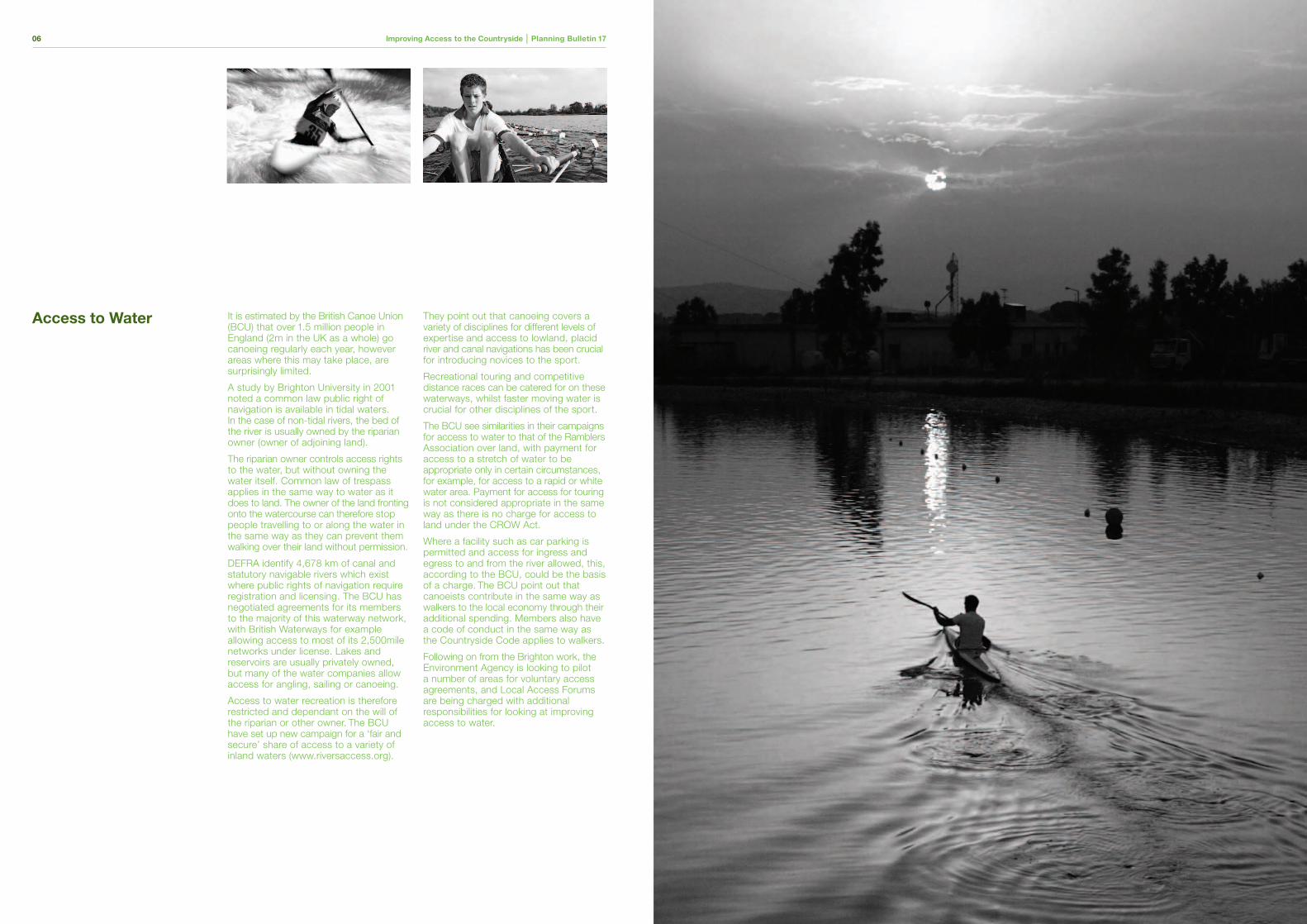
It is estimated by the British Canoe Union(BCU) that over 1.5 million people inEngland (2m in the UK as a whole) gocanoeing regularly each year, howeverareas where this may take place, aresurprisingly limited.
A study by Brighton University in 2001noted a common law public right ofnavigation is available in tidal waters.In the case of non-tidal rivers, the bed ofthe river is usually owned by the riparianowner (owner of adjoining land).
The riparian owner controls access rightsto the water, but without owning thewater itself. Common law of trespassapplies in the same way to water as itdoes to land. The owner of the land frontingonto the watercourse can therefore stoppeople travelling to or along the water inthe same way as they can prevent themwalking over their land without permission.
DEFRA identify 4,678 km of canal andstatutory navigable rivers which existwhere public rights of navigation requireregistration and licensing. The BCU hasnegotiated agreements for its membersto the majority of this waterway network,with British Waterways for exampleallowing access to most of its 2,500milenetworks under license. Lakes andreservoirs are usually privately owned,but many of the water companies allowaccess for angling, sailing or canoeing.
Access to water recreation is thereforerestricted and dependant on the will ofthe riparian or other owner. The BCUhave set up new campaign for a ‘fair andsecure’ share of access to a variety ofinland waters (www.riversaccess.org).
They point out that canoeing covers avariety of disciplines for different levels ofexpertise and access to lowland, placidriver and canal navigations has been crucialfor introducing novices to the sport.
Recreational touring and competitivedistance races can be catered for on thesewaterways, whilst faster moving water iscrucial for other disciplines of the sport.
The BCU see similarities in their campaignsfor access to water to that of the RamblersAssociation over land, with payment foraccess to a stretch of water to beappropriate only in certain circumstances,for example, for access to a rapid or whitewater area. Payment for access for touringis not considered appropriate in the sameway as there is no charge for access toland under the CROW Act.
Where a facility such as car parking ispermitted and access for ingress andegress to and from the river allowed, this,according to the BCU, could be the basisof a charge. The BCU point out thatcanoeists contribute in the same way aswalkers to the local economy through theiradditional spending. Members also havea code of conduct in the same way asthe Countryside Code applies to walkers.
Following on from the Brighton work, theEnvironment Agency is looking to pilota number of areas for voluntary accessagreements, and Local Access Forumsare being charged with additionalresponsibilities for looking at improvingaccess to water.
Access to Water
Improving Access to the Countryside | Planning Bulletin 17 0900 Improving Access to the Countryside | Planning Bulletin 17
In January 2007, English Nature, DEFRA’sRural Development Service and theCountryside Agency’s Landscape, Accessand Recreation division will merge to forma new organisation will called ‘NaturalEngland’. This will provide a single bodyresponsible for conservation, biodiversityand promoting access to the countryside.
All the powers of the existing organisationswill be transferred. These include: awardinggrants; designating Sites of SpecialScientific Importance, National Parks, Areasof Outstanding Natural Beauty, NationalNature Reserves and; enforcing theassociated regulations. Natural England willwork in partnership with the EnvironmentAgency and Forestry Commission.
Natural England is to be establishedthrough the Natural Environment and RuralCommunities Bill (NERC Bill) currentlygoing through parliament. Having beenintroduced in the House of Commons itis expected to complete its stages in theHouse of Lords early in 2006.
Further measures introduced by NERCBill include provisions to clarify the use ofmechanically propelled vehicles on publicrights of way. The DEFRA policy statementaccompanying the Bill states that a centralpart of the Government’s Rural Strategyis to improve enjoyment of attractive andwell managed countryside for all.
A key part of this aim is the rights of waynetwork, a network that has evolved mainlyfrom historic use patterns. Instances havebeen identified where rights were claimedfor mechanically propelled vehicles by virtueof historic use, even by un-mechanicallypropelled vehicles. Similarly, long periodsof illegal vehicular use of a footpath orbridleway may inappropriately give riseto public vehicular rights.
This aspect of the Bill is supported by theMotoring Organisations’ Land Access andRecreation Association (LARA) with caution.LARA express concern over the workabilityand the intention to introduce regulationsimmediately after the Bill is to receiveRoyal Assent. LARA’s concerns centre onpossible extinguishment of rights for vehicleuse in the countryside for farmers, ruralproperty owners and those involved inoutdoor sports and recreation. �
The NaturalEnvironment & RuralCommunities Bill
10 Improving Access to the Countryside | Planning Bulletin 17
Sections 61 and 62 of the Bill, as drafted,will seek to remove existing rights of wayfor vehicles if it was not previously shownon either a definitive map, a list of highwaysor a list of byways held by local authorities.LARA claim that many definitive maps areout of date, incomplete or missing.
Definitive maps were never intended torecord motoring uses when they were firstintroduced in the 1950’s. Further, manylocal authorities do not have complete listsof highways or byways. LARA is seekinga period of grace between the section ofthe Bill receiving Royal Assent and cominginto force in which private access rightscan be established.
This period was originally recommendedin the consultation document ‘Use ofMechanically Propelled Vehicles on Rightsof Way’ in 2003.
Many recreational activities rely on motorvehicles for access to resources. Cars, vansor trailers are used as a base, sometimesa changing room for many activities. Thisincludes: angling, canoeing, country shows,mountaineering, ballooning and birdwatching.The use of many minor roads maybe affected under the provisions of the Bill.This would leave organisers and participantsnot knowing if the traditional rights theyhave enjoyed will now be extinguished.
Attempts have been made to secure rightsfor vehicular access by applying to therelevant local authority. However, this isa time consuming process which mostwill be prevented from doing if the NERClegislation is implemented immediatelyafter Royal Assent. The alternative willbe to try to establish their rights basedon incomplete or inaccessible recordswith little expertise in the matter.
As stated, LARA do not object to theprinciple of what is proposed. This isa matter of consensus. Instead theirconcerns are that a managed solutionis not being sought to negotiate thepractical realities of securing establishedrights and protecting the Countryside.Perhaps the momentum built during theCROW Act can be used to good effectto allow matters to be resolved locally.
�
Improving Access to the Countryside | Planning Bulletin 17 1312 Improving Access to the Countryside | Planning Bulletin 17
Everyone benefits from access to abeautiful countryside. From a traditionalrole of providing food to the table thefocus is now more on providing recreationalopportunities and nature conservation.In many cases, the best sites for prizedwildlife and habitat are the very locationswhere walkers wish to walk, climbers wishto climb or mountain bikers wish to ride,not withstanding the interests of theland owner.
The conflicting interests in the countrysidehave been previously managed throughexclusion – access rights being denied toprotect wildlife, or long standing customsof access preserved at the expense ofconservation interest. The focus has turnedrecently to developing a consensus betweenthese competing interests.
In practice, as the case studies in thisbulletin show, recreation activities andnature conservation can co-exist withoutdifficulty. It requires people to act togetherand to understand each other’s viewpoints,and to negotiate.
The organisations listed all acknowledgethe need for both access and conservationin the countryside. From this starting pointthe Local Access Forums were createdto advise on access in each region. Theirrole will continue to build on the consensusnow that access rights have come intoforce. However, there is concern that theopportunity is being missed under thepresent NERC Bill.
There are expected to be furtherdevelopments over the next few monthswith the launch of the ‘Best of Both Worlds’project sponsored by the Central Councilfor Physical Recreation, The CountrysideAgency and English Nature.
It will aim to collate case examples, reviewgood practice on access and will alsopublish guidance for conflict resolutionand prepare model agreements. The theoryis to achieve a ‘win-win’ situation foraccess interests and nature conservation.This is a different approach from merelyachieving a balance between the competinginterests. The project will emphasiseevidence-based approaches to decisionmaking together with good levels ofcommunication between the stakeholders.The project will also be promoted withits own website.
Building consensus and resolving age oldconflicts is no easy task on a politicallysensitive issue such as access to thecountryside. However, with localinvolvement, better communication andnegotiation, it has proved to be possible.Many of the disputes lay in the workability ofschemes rather than opposition in principleto access or conservation interests.
The next test for the countryside will bewhether recent changes in legislation andthe promotion of a new approach willprovide the necessary momentum forresolving wider recreational issues inthe countryside.
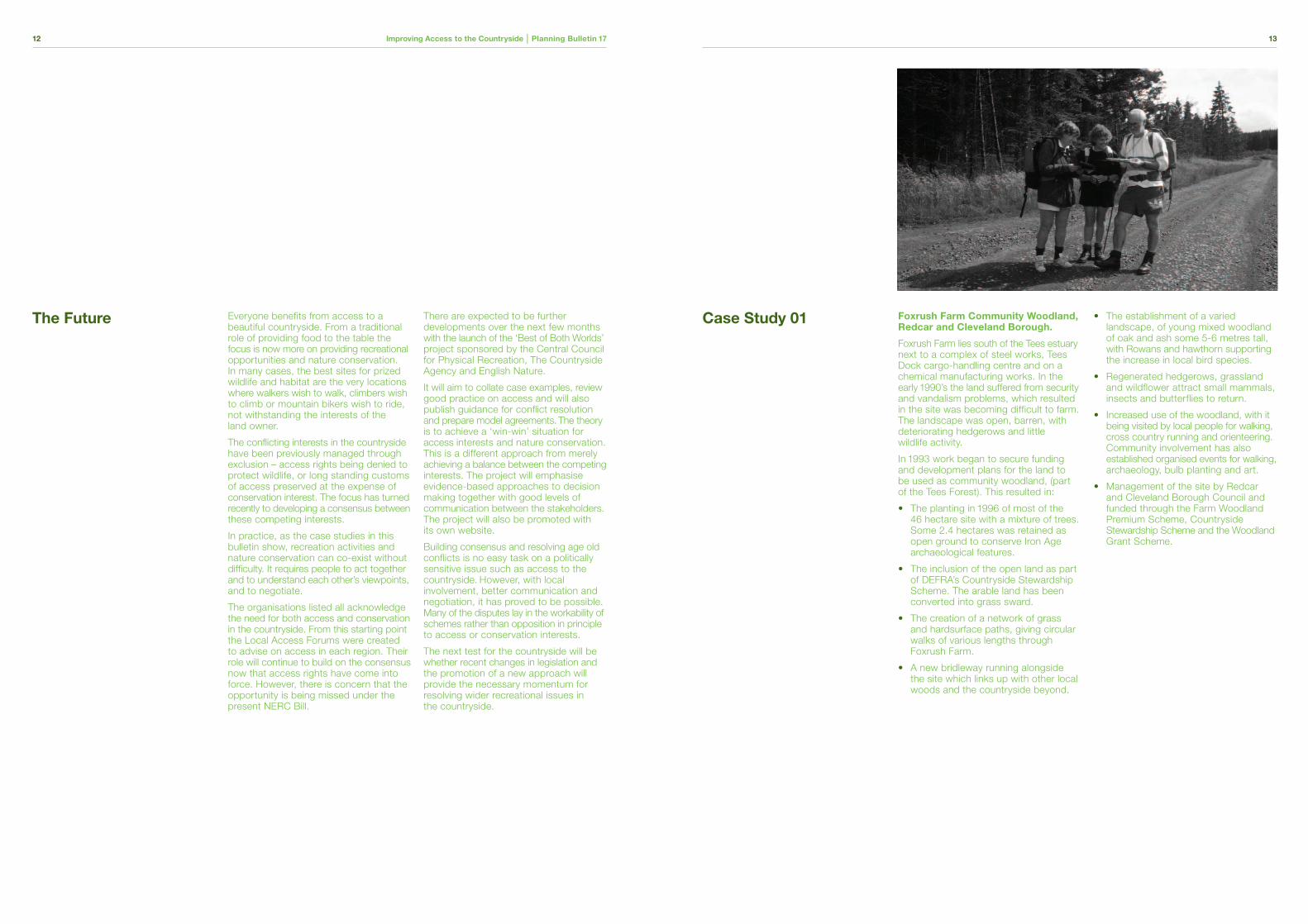
Foxrush Farm Community Woodland,Redcar and Cleveland Borough.
Foxrush Farm lies south of the Tees estuarynext to a complex of steel works, TeesDock cargo-handling centre and on achemical manufacturing works. In theearly 1990’s the land suffered from securityand vandalism problems, which resultedin the site was becoming difficult to farm.The landscape was open, barren, withdeteriorating hedgerows and littlewildlife activity.
In 1993 work began to secure fundingand development plans for the land tobe used as community woodland, (partof the Tees Forest). This resulted in:
• The planting in 1996 of most of the46 hectare site with a mixture of trees. Some 2.4 hectares was retained as open ground to conserve Iron Age archaeological features.
• The inclusion of the open land as part of DEFRA’s Countryside Stewardship Scheme. The arable land has been converted into grass sward.
• The creation of a network of grassand hardsurface paths, giving circular walks of various lengths through Foxrush Farm.
• A new bridleway running alongsidethe site which links up with other local woods and the countryside beyond.
• The establishment of a varied landscape, of young mixed woodland of oak and ash some 5-6 metres tall, with Rowans and hawthorn supportingthe increase in local bird species.
• Regenerated hedgerows, grassland and wildflower attract small mammals, insects and butterflies to return.
• Increased use of the woodland, with itbeing visited by local people for walking,cross country running and orienteering.Community involvement has also established organised events for walking,archaeology, bulb planting and art.
• Management of the site by Redcar and Cleveland Borough Council and funded through the Farm Woodland Premium Scheme, Countryside Stewardship Scheme and the Woodland Grant Scheme.
The Future Case Study 01
Improving Access to the Countryside | Planning Bulletin 17 1514 Improving Access to the Countryside | Planning Bulletin 17
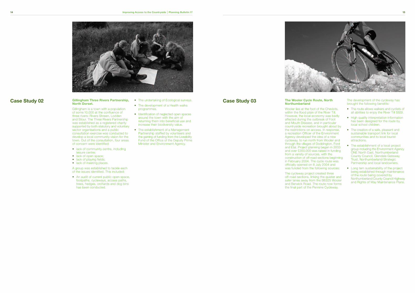
Gillingham Three Rivers Partnership,North Dorset.
Gillingham is a town with a populationof some 10,000 at the confluence ofthree rivers: Rivers Shreen, Loddenand Stour. The Three Rivers Partnershipwas established as a registered charitysupported by both statutory and voluntarysector organisations and a publicconsultation exercise was conducted todevelop a local community vision for thetown. Out of the consultation, four areasof concern were identified:
• lack of community centre, including leisure centre;
• lack of open space;• lack of playing fields;• lack of meeting places.
A group was established to tackle eachof the issues identified. This included:
• An audit of current public open space, footpaths, cycleways, access paths, trees, hedges, orchards and dog bins has been conducted.
• The undertaking of Ecological surveys.
• The development of a Health walks programmes.
• Identification of neglected open spaces around the town with the aim of returning them into beneficial use and increase their biodiversity value.
• The establishment of a Management Partnership staffed by volunteers and the gaining of funding from the Liveability Fund of the Office of the Deputy Prime Minister and Environment Agency.
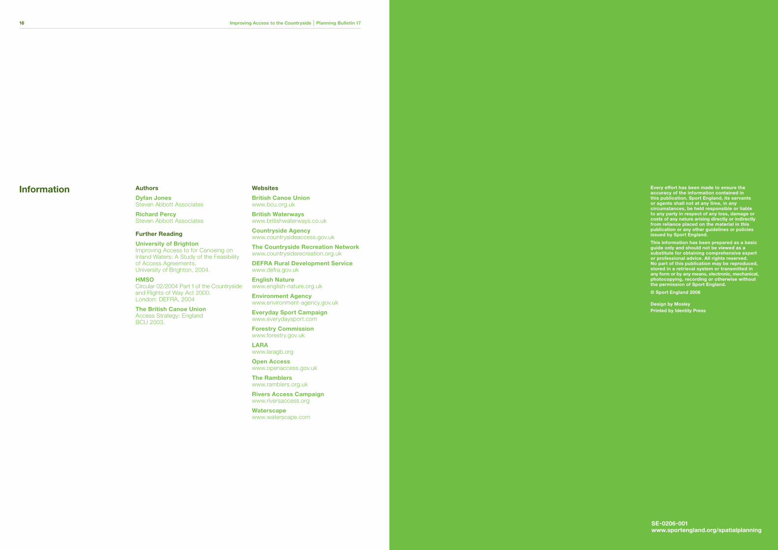
The Wooler Cycle Route, NorthNorthumberland
Wooler lies at the foot of the Cheviots,within the flood plain of the River Till.However, the local economy was badlyaffected during the outbreak of Footand Mouth Disease, and in particularcountryside recreation brought about bythe restrictions on access. In response,a recreation Officer of the EnvironmentAgency developed the idea of a newcycleway, to run north from Wooler andthrough the villages of Doddington, Fordand Etal. Project planning began in 2003and over £350,000 was raised in fundingfrom a variety of sources, with theconstruction of off-road sections beginningin February 2004. The cycle route wasofficially opened on 8 July 2004 andwas funded from the following sources:
The cycleway project created threeoff-road sections, linking the quieter andsafer lanes away from the B6325 Woolerand Berwick Road. The route now formsthe final part of the Pennine Cycleway.
The development of the cycleway hasbrought the following benefits:
• The route allows walkers and cyclists of all abilities to enjoy the River Till SSSI.
• High quality interpretation information has been designed for the route by local school children.
• The creation of a safe, pleasant andsustainable transport link for local communities and to local tourist attractions.
• The establishment of a local project group including the Environment Agency ONE North East, Northumberland County Council, Glendale Gateway Trust, Northumberland Strategic Partnership and local landowners.
• Long tem sustainability of the project being established through maintenance of the route being covered by Northumberland County Council Highwayand Rights of Way Maintenance Plans.
Case Study 02 Case Study 03
Improving Access to the Countryside | Planning Bulletin 17 0116 Improving Access to the Countryside | Planning Bulletin 17
Authors
Dyfan JonesSteven Abbott Associates
Richard PercySteven Abbott Associates
Further Reading
University of Brighton Improving Access to for Canoeing onInland Waters: A Study of the Feasibilityof Access Agreements.University of Brighton, 2004.
HMSOCircular 02/2004 Part 1 of the Countrysideand Rights of Way Act 2000. London: DEFRA, 2004
The British Canoe UnionAccess Strategy: EnglandBCU 2003.
Websites
British Canoe Unionwww.bcu.org.uk
British Waterwayswww.britishwaterways.co.uk
Countryside Agencywww.countrysideaccess.gov.uk
The Countryside Recreation Networkwww.countrysiderecreation.org.uk
DEFRA Rural Development Servicewww.defra.gov.uk
English Naturewww.english-nature.org.uk
Environment Agencywww.environment-agency.gov.uk
Everyday Sport Campaignwww.everydaysport.com
Forestry Commissionwww.forestry.gov.uk
LARAwww.laragb.org
Open Accesswww.openaccess.gov.uk
The Ramblerswww.ramblers.org.uk
Rivers Access Campaignwww.riversaccess.org
Waterscapewww.waterscape.com
Every effort has been made to ensure theaccuracy of the information contained inthis publication. Sport England, its servantsor agents shall not at any time, in anycircumstances, be held responsible or liableto any party in respect of any loss, damage orcosts of any nature arising directly or indirectlyfrom reliance placed on the material in thispublication or any other guidelines or policiesissued by Sport England.
This information has been prepared as a basicguide only and should not be viewed as asubstitute for obtaining comprehensive expertor professional advice. All rights reserved.No part of this publication may be reproduced,stored in a retrieval system or transmitted inany form or by any means, electronic, mechanical,photocopying, recording or otherwise withoutthe permission of Sport England.
© Sport England 2006
Design by MosleyPrinted by Identity Press
Information
SE-0206-001www.sportengland.org/spatialplanning
EastSport England – EastCrescent House,19 The Crescent,Bedford MK40 2QPT 08458 508 508www.sportengland.org/east
East MidlandsSport England – East MidlandsGrove House,Bridgford Road,West Bridgford,Nottingham NG2 6APT 08458 508 508www.sportengland.org/eastmidlands
LondonSport England – London Region3rd Floor Victoria House,Bloomsbury Square,London WC1B 4SET 08458 508 508www.sportengland.org/london
North EastSport England – North EastAykley Heads,Durham DH1 5UUT 08458 508 508www.sportengland.org/northeast
North WestSport England – North WestAstley House,Quay Street,Manchester M3 4AET 08458 508 508www.sportengland.org/northwest
South EastSport England – South East51a Church Street,Caversham,Reading RG4 8AXT 08458 508 508www.sportengland.org/southeast
South WestSport England – South WestAshlands House,Crewkerne,Somerset TA18 7LQT 08458 508 508www.sportengland.org/southwest
West MidlandsSport England – West Midlands5th Floor, No 3 Broadway,Five Ways,Birmingham B15 1BQT 08458 508 508www.sportengland.org/westmidlands
YorkshireSport England – Yorkshire4th Floor, Minerva House,East Parade,Leeds LS1 5PST 08458 508 508www.sportengland.org/yorkshire