Embed Size (px)
Citation preview
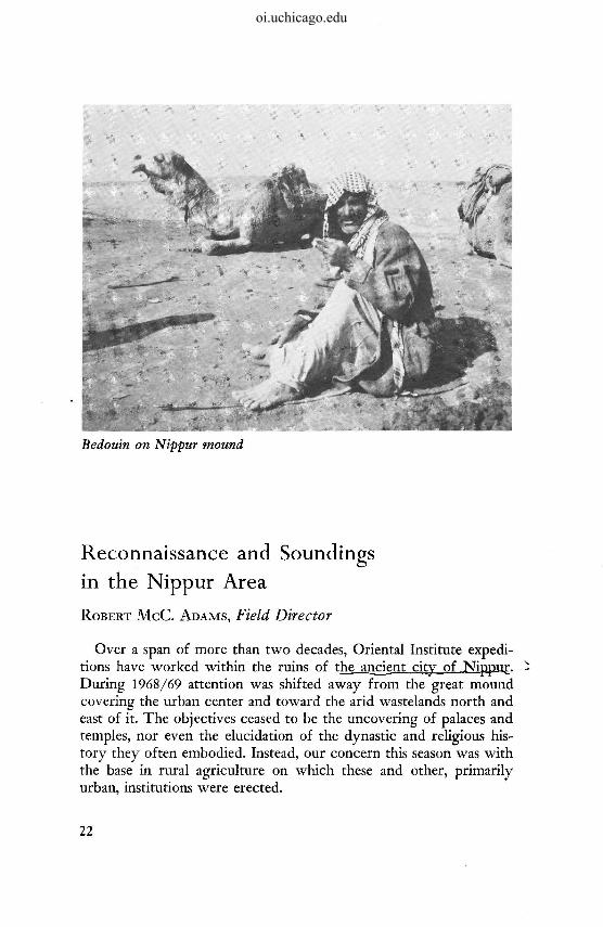
Bedouin on Nippur mound
Reconnaissance and Soundings
in the Nippur Area
ROBERT M C C . ADAMS, Field Director
Over a span of more than two decades, Oriental Institute expeditions have worked within the ruins of the ancient city of Nippur. During 1968/69 attention was shifted away from the great mound covering the urban center and toward the arid wastelands north and east of it. The objectives ceased to be the uncovering of palaces and temples, nor even the elucidation of the dynastic and religious history they often embodied. Instead, our concern this season was with the base in rural agriculture on which these and other, primarily urban, institutions were erected.
22
oi.uchicago.edu
As in a number of similar research projects we have undertaken in the past, one major focus of study was the traces of ancient rivers and irrigation canals that were initially detectedjn air photographs, and then confirmed through ground reconnaissance. Systems of irrigation were always vital to Mesopotamian civilization but never were static for very long, and in a sense the successive phases of prosperity and decline to which the cities were subject can be read almost as dramatically and unambiguously in the changing totals of irrigated land as in the texts. At the same time, we were also concerned with tracing the changing patterns of ancient settlement-patterns in which cities were a variable and only rarely predominant component. By what steps did cities emerge from a prehistoric milieu of villages and lesser towns? How extensive was later rural settlement, and how was it linked to the waxing and waning urban centers? Was there an essentially stable hierarchy of cities, towns, and villages, and if so, how was this in turn linked to the irrigation system? Again, the main seam along which to seek answers to questions like these is archeological reconnaissance.
Survey during the past season was concentrated in a rectangular area about 1000 kilometers square, most of which lay outside the
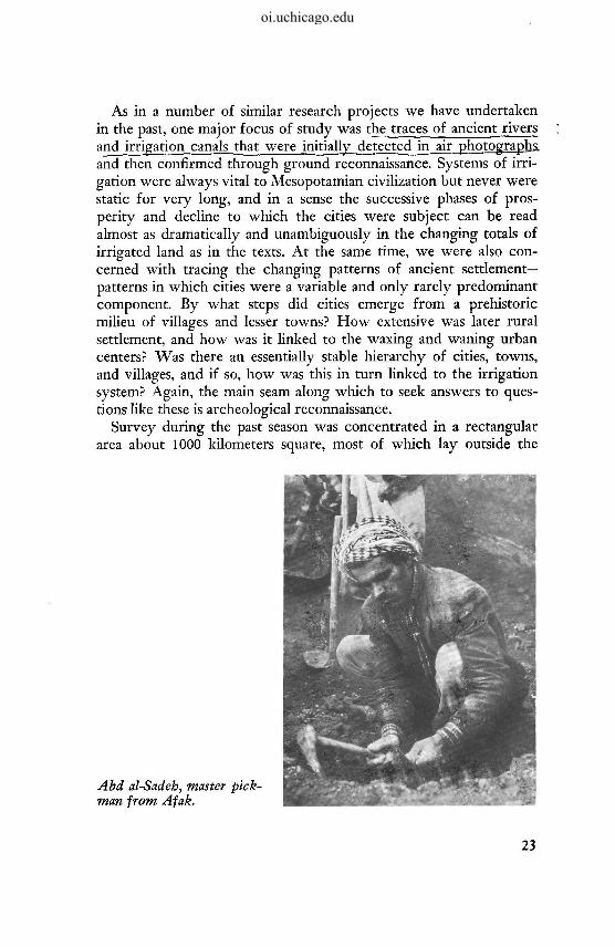
Abd al-Sadeh, master pick-man from Afak.
23
oi.uchicago.edu
present frontier of cultivation that angles alongside Nippur from the northwest. Some 400 sites were located, described, and provisionally dated from their surface remains. Traces of ancient irrigation systems connecting them then were plotted on a series of maps showing the distribution of settlements at different periods. From this sequence of maps emerges a picture of_radicaJ^ shifts jn the ̂ number and positionof branches; of the Euphrates River that crossed the area during theJfourth.jmiUenr^m B.C., and of a rapid decline in the number of settlements during the latter part of that period—presumably as Nippur and nearby Abu Salabikh grew to urban size.
While much interest attaches to this and similar observations of developments in the area during early periods, the climax around Nippur—as in Mesopotamia as a whole—came much later. Nippur itself is known to have continued into Early Islamic times, and the Oriental Institute's own excavations have helped to disclose an unprecedented scale of monumental building there during the first and second centuries after Christ. The apogee of settlement in Nippur's hinterlands, including the greatest aggregation of population in cities, apparently was reached under Sassanian rule in the fourth century and later. Prosperous conditions continued into Early Islamic times, but the latter part of the ninth century seems to have witnessed a rapid decline into conditions of near abandonment.
The archeological record is especially unsatisfactory for the latter part of this long prehistoric and historic continuum. In spite of the richness of the settlement data for particularly the Sassanian and Early Islamic periods that has been produced by the survey, the present vagueness of our knowledge of the ordinary ceramics that were in use during these times tends to defeat any attempt to develop a fine-grained, truly dynamic picture of trends or fluctuations in settlement and irrigation agriculture. For this reason, an integral part of last season's work in the Nippur area was a series of stratigraphic soundings carried out during the winter. The site selected was a small, representative village mound that lay about 15 kilometers into the desert northwest of Nippur. Unnamed at first, it acquired the name Abu Sarifa in time from the crude huts of reed matting (sarifa's) that were erected there by our labor force to serve as temporary shelters.
There are some six meters of cultural deposits at Tell Abu Sarifa, divided into six major phases and many more building levels. The earliest, apparently prior to a genuine settlement at the site, is of late
24
oi.uchicago.edu

Douglas Kennedy and Beth Skinner sorting potsherds at Tell Abu Sarifa
Parthian date. This is succeeded by two Sassanian phases, each marked by a number of large-roomed, thick-walled structures. The purpose and full plan of these buildings could not be ascertained within the framework of a program of small-scale soundings directed primarily toward ceramic chronology, but if they are merely residential, they suggest an impressive degree of prosperity and__plan-ning^ for so small a site. There was a progressive devolution in the scale and quality of architecture during the three Early Islamic, Samarran, and post-Samarran phases that followed until, at the time of abandonment in the late tenth or eleventh century, only a few straggling huts were left on the summit of the mound. Well before that time, incidentally virtually the entire surrounding region had ceased to be cultivated and settled. Any assumption of progressive impoverishment that might be drawn from this data must be balanced, however, against several-fold increases in the local use of glazed pottery and glass over the same interval. Studies of the ceramics and glass are now underway that hopefully will permit a fully
25
oi.uchicago.edu

quantitative publication of these two indicators of change and cultural contact that have always been recognized as vital to the arche-ologist.
In addition to the author, the staff of the reconnaissance consisted of Ruth S. Adams, photographer, and Sayyid Riath al-Qaissi, Iraqi Representative. With the onset of the sounding program at Abu Sarifa, the group was necessarily much enlarged. Douglas Kennedy, of the Centre National de Recherche Scientifique, came from Paris to serve as numismatist and epigraphist. Roberta Ellis brought with her many years of service in the Oriental Institute's basement workrooms and took over full responsibility for the laboratory treatment of our ancient coins and pottery. Charles L. Redman also joined us for a period at the conclusion of the Institute's Prehistoric Project in Turkey, and Beth Skinner served as archeological assistant. To all of these, to the American Schools of Oriental Research, which served as principal sponsor of the undertaking, and to the Iraqi authorities without whose continuing assistance we would have been unable to operate effectively, I am most grateful.
26
oi.uchicago.edu

![Nippur de Lagash 002 - E002 - Nofretamon [Woodiana]](https://img.pdfslide.net/doc/110x75/577cc78a1a28aba711a14335/nippur-de-lagash-002-e002-nofretamon-woodiana.jpg)


![Nippur de Lagash 004 - E004 - Minotauro [Woodiana]](https://img.pdfslide.net/doc/110x75/577cc76f1a28aba711a0ed36/nippur-de-lagash-004-e004-minotauro-woodiana.jpg)

