Embed Size (px)
Citation preview
1
Information Technology and Intelligent Transportation: A Marriage Made in Heaven
Ouri WolfsonUniversity of Illinois
2
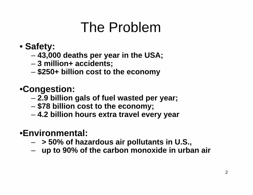
The Problem• Safety:
– 43,000 deaths per year in the USA; – 3 million+ accidents; – $250+ billion cost to the economy
•Congestion: – 2.9 billion gals of fuel wasted per year; – $78 billion cost to the economy; – 4.2 billion hours extra travel every year
•Environmental: – > 50% of hazardous air pollutants in U.S., – up to 90% of the carbon monoxide in urban air
3
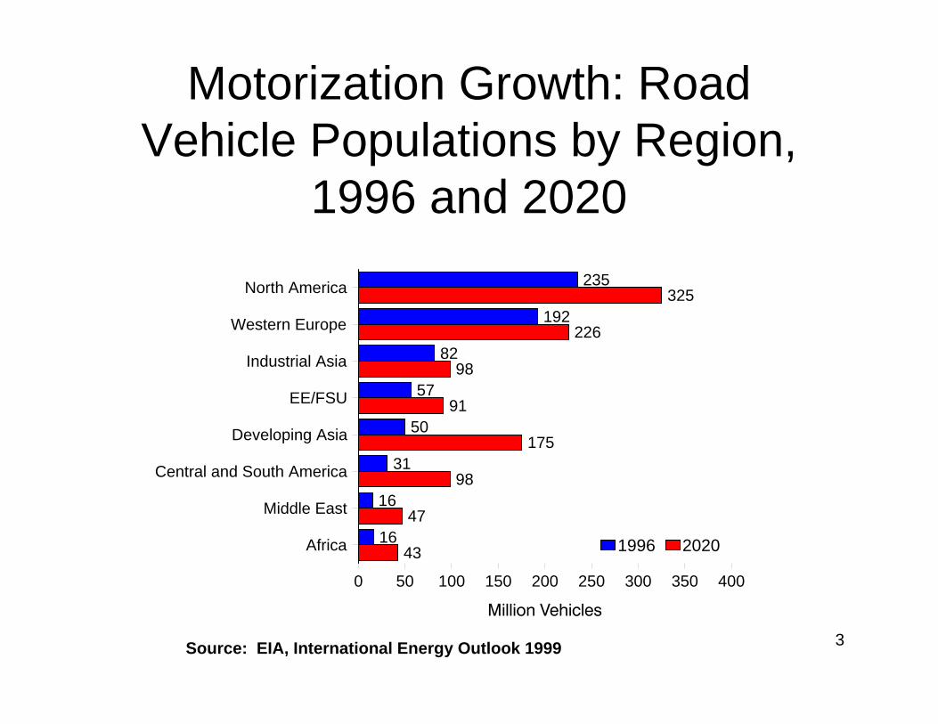
235
192
82
57
50
31
16
16
325
226
98
91
175
98
47
43
North America
Western Europe
Industrial Asia
EE/FSU
Developing Asia
Central and South America
Middle East
Africa
0 50 100 150 200 250 300 350 400
1996 2020
Motorization Growth: Road Vehicle Populations by Region,
1996 and 2020
Source: EIA, International Energy Outlook 1999
4
Traditional approach to address problem
g construct more highways/roadways g Greater investment in public “mass”
transit.
5
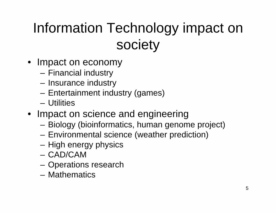
Information Technology impact on society
• Impact on economy– Financial industry– Insurance industry– Entertainment industry (games)– Utilities
• Impact on science and engineering– Biology (bioinformatics, human genome project)– Environmental science (weather prediction)– High energy physics– CAD/CAM– Operations research– Mathematics
6
IT impact on Transportation
• Car navigation systems, web-routing
7
IT impact on Transportation
• Car navigation systems, web-routing• Traffic information systems
8
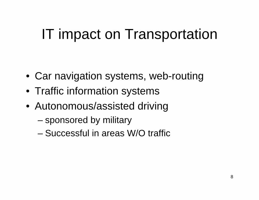
IT impact on Transportation
• Car navigation systems, web-routing• Traffic information systems• Autonomous/assisted driving
– sponsored by military– Successful in areas W/O traffic
9
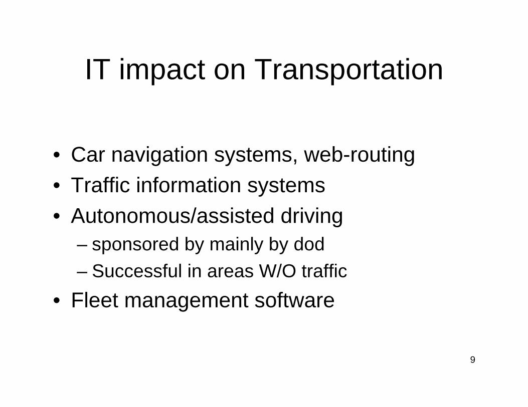
IT impact on Transportation
• Car navigation systems, web-routing• Traffic information systems• Autonomous/assisted driving
– sponsored by mainly by dod– Successful in areas W/O traffic
• Fleet management software
10
Why?
• Distributed/mobile system of unprecedented scale
• Incentive mechanisms / business models
11
Outline
• Introduction – the problem
• Vehicular Infrastructure Integration (VII) Initiative
• Graduate Program in Computational Transportation Science
• Conductive IT trends
12
Intelligent Transportation Systems
g Increase transportation system g Safetyg Efficiency
g With the use of g electronics and sensors g communicationsg information systems
13
Vehicle Infrastructure Integration (VII): A Federal Initiative
• Vision
– Information about all roads, all the time • To control center
• To individual vehicles
– To enable a broad range of safety and mobility services• Approach: Convene a “VII Coalition”—
– auto manufacturers, – state transportation authorities, – USDOT
14
Application examples
• Safety– Vehicle in front has a malfunctioning brake light– Vehicle is about to run a red light – Patch of ice at milepost 305 – Vehicle 100 meters ahead has suddenly stopped
15
Application examples (cont.)
• Improve efficiency/convenience/mobility:– What is the average speed a mile ahead of me?– Are there any accidents ahead?– What parking slots are available around me?– Taxi cab: what customers around me need service?– Customer: What Taxi cabs are available around me?– Cab/ride sharing opportunities– During the past year, how many times was bus#5 late by
more than 10 minutes at station 20, or at some station
16
Outline
• Introduction – the problem
• Vehicular Infrastructure Integration (VII) Initiative
• Graduate Program in Computational Transportation Science
• Conductive IT trends
17
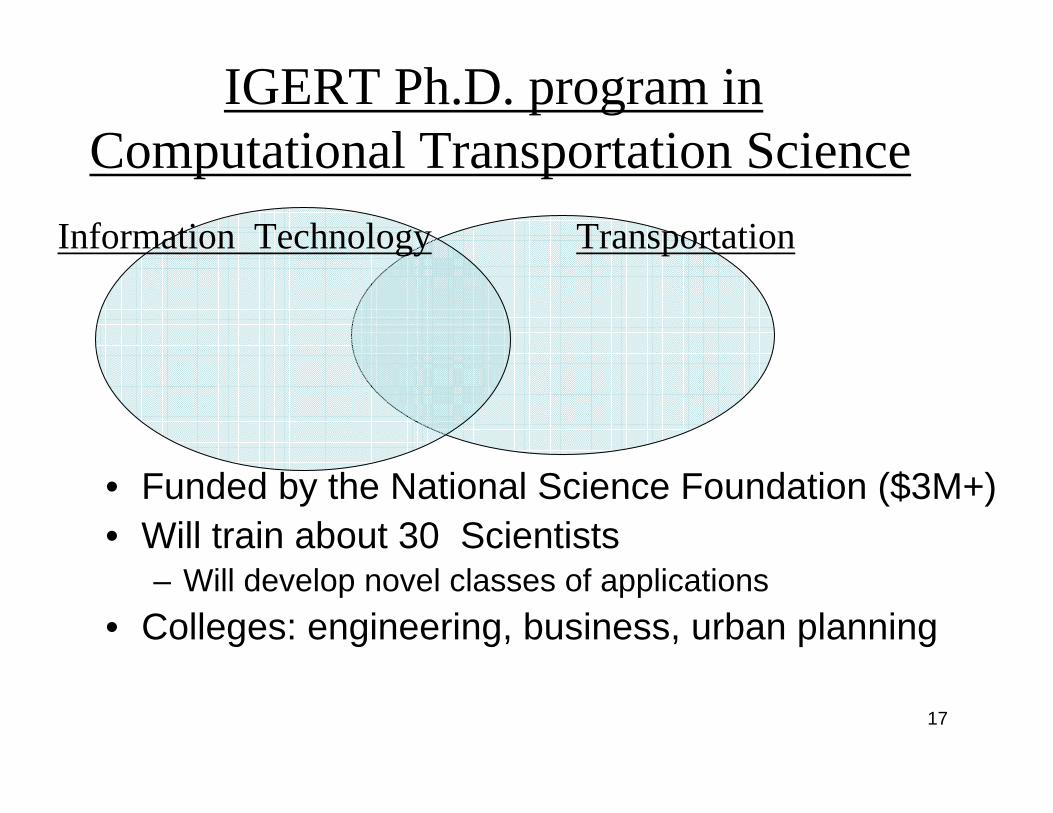
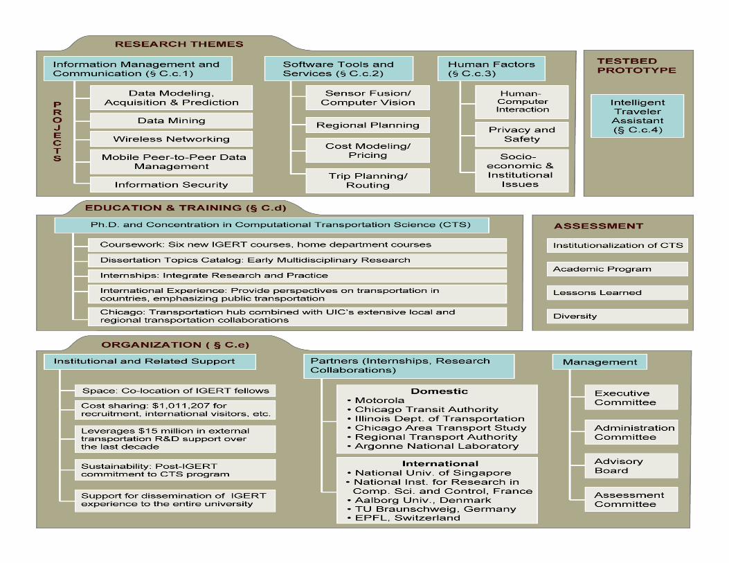
• Funded by the National Science Foundation ($3M+)• Will train about 30 Scientists
– Will develop novel classes of applications• Colleges: engineering, business, urban planning
TransportationInformation Technology
IGERT Ph.D. program in Computational Transportation Science
18
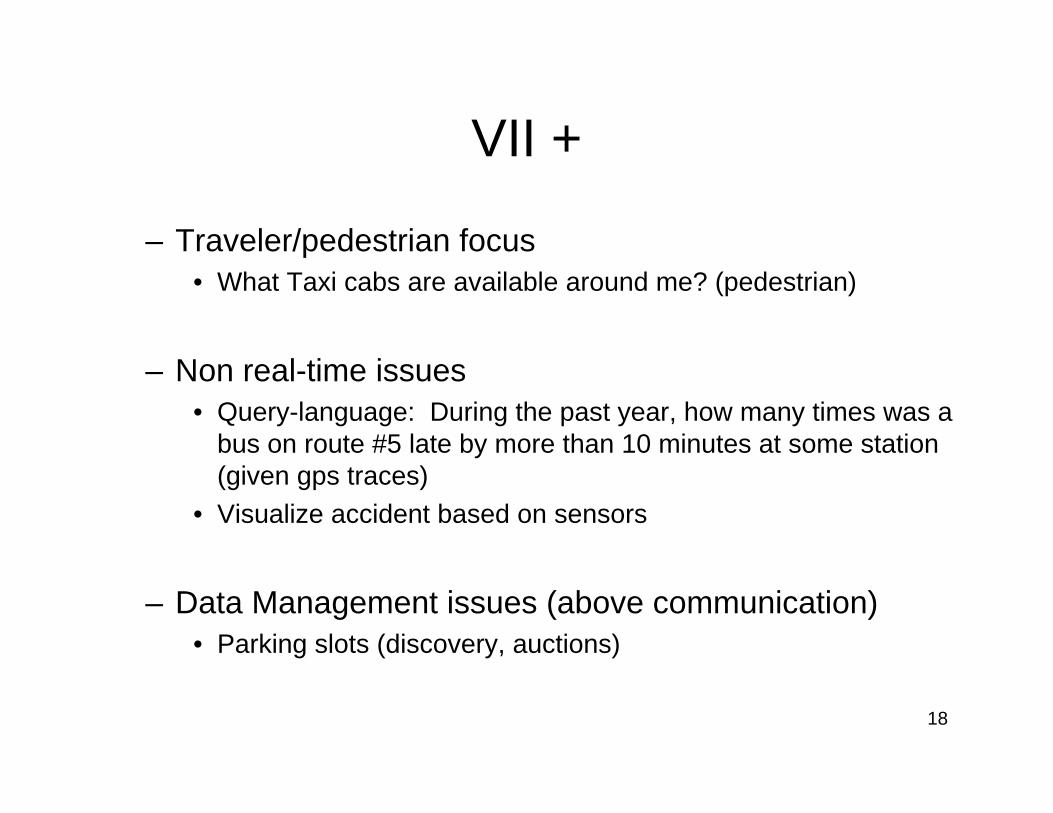
VII +
– Traveler/pedestrian focus• What Taxi cabs are available around me? (pedestrian)
– Non real-time issues• Query-language: During the past year, how many times was a
bus on route #5 late by more than 10 minutes at some station (given gps traces)
• Visualize accident based on sensors
– Data Management issues (above communication)• Parking slots (discovery, auctions)
19
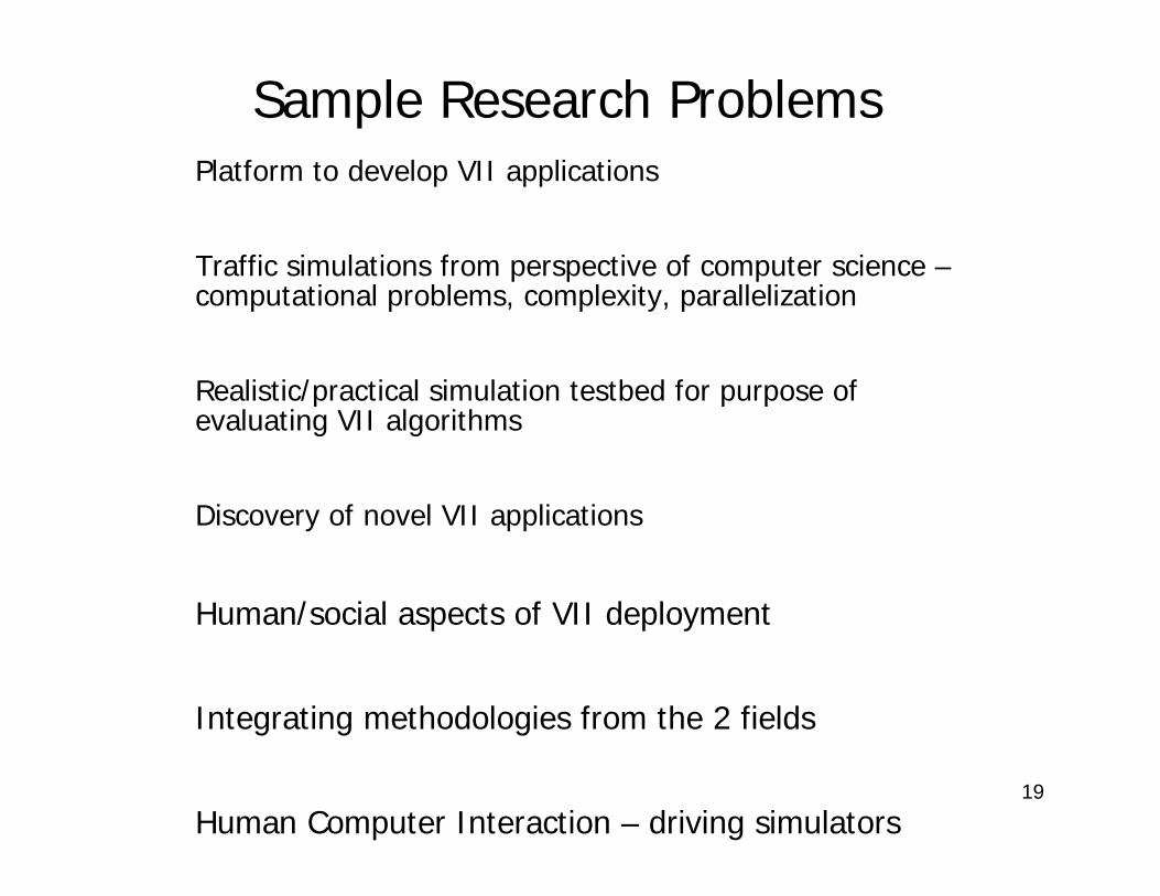
Sample Research ProblemsPlatform to develop VII applications
Traffic simulations from perspective of computer science –computational problems, complexity, parallelization
Realistic/practical simulation testbed for purpose of evaluating VII algorithms
Discovery of novel VII applications
Human/social aspects of VII deployment
Integrating methodologies from the 2 fields
Human Computer Interaction – driving simulators
20
21
Research Issues in Data Management and Communication
• Data modeling and Uncertainty Management
• Data mining• Wireless Networking• Mobile P2P• Security
22
Data Modeling
– Basic construct trajectory: location = f(time)– Novel built-in mechanisms for
• trajectory approximation • trajectory matching• trajectory aggregation • compression of spatial-temporal information • aging of spatial-temporal information• Location prediction
– Encapsulate in a trajectory data-blade
23
Uncertainty/imprecision Management
• Innovative approach: Optimize the tradeoff cost/imprecision
• Linguistic approach: – retrieve the average speed with 30%
confidence
24
Research Thrusts
• Data Management and communication
• Software tools and services
• Human factors and sociological issues– Human-computer interaction (multimodal)– Privacy (particularly location information)– Socio-economic issues (e.g. air-quality
implications of adaptive speed limits)

25
Prototype
26
ITA
• Intelligent traveler assistant –– on handheld computers
– networked to • Traffic information center• Neighboring vehicles
– plan multi-modal routes for its user
27
ITA modes
• Multi-modal trip planning – Possible optimization criteria: cost, time,
predictability
• Trip execution (plan adjustment)– taxi/ride-sharing opportunities
28
Trip execution experiment
• 20 vehicles with ITA’s receiving sensor information in real-time
• demonstrate simple query processing in a mobile environment
29
Main differences from other transportation centers
• Focus on Computer Science and IT
• Focus on traveler rather than vehicular technology
• Focus on applications above communication layer
30
Outline
• Introduction – the problem
• Vehicular Infrastructure Integration (VII) Initiative
• Graduate Program in Computational Transportation Science
• Conducive IT trends
31
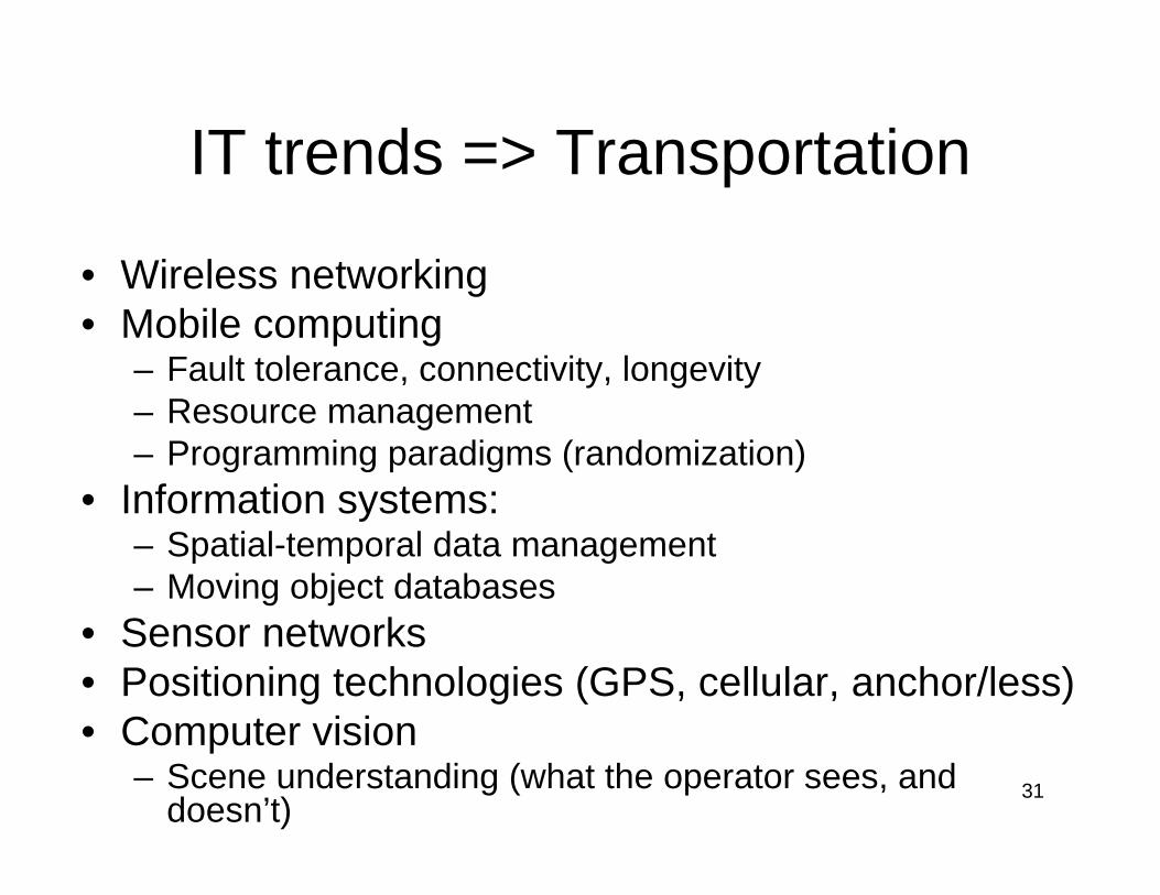
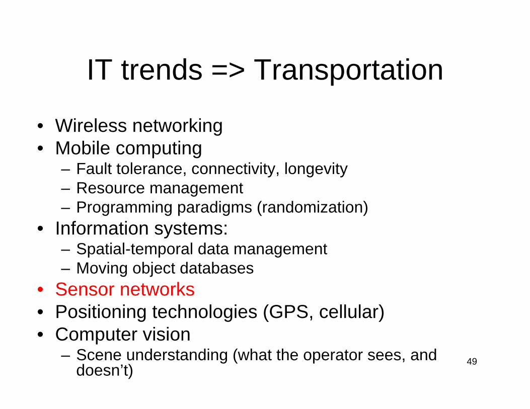
IT trends => Transportation
• Wireless networking• Mobile computing
– Fault tolerance, connectivity, longevity – Resource management – Programming paradigms (randomization)
• Information systems: – Spatial-temporal data management– Moving object databases
• Sensor networks• Positioning technologies (GPS, cellular, anchor/less)• Computer vision
– Scene understanding (what the operator sees, and doesn’t)
32
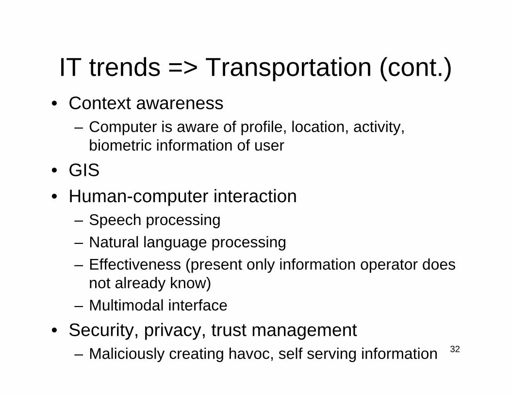
IT trends => Transportation (cont.)• Context awareness
– Computer is aware of profile, location, activity, biometric information of user
• GIS • Human-computer interaction
– Speech processing– Natural language processing– Effectiveness (present only information operator does
not already know)– Multimodal interface
• Security, privacy, trust management– Maliciously creating havoc, self serving information
33
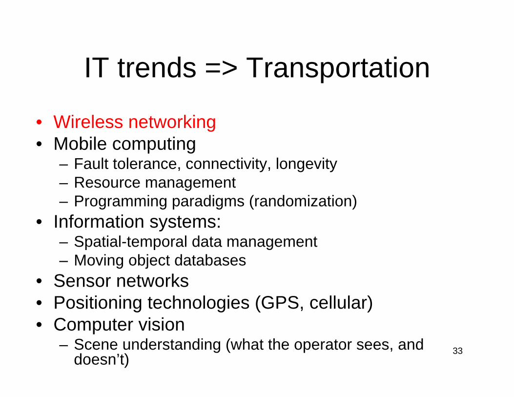
IT trends => Transportation
• Wireless networking• Mobile computing
– Fault tolerance, connectivity, longevity – Resource management – Programming paradigms (randomization)
• Information systems: – Spatial-temporal data management– Moving object databases
• Sensor networks• Positioning technologies (GPS, cellular)• Computer vision
– Scene understanding (what the operator sees, and doesn’t)
34
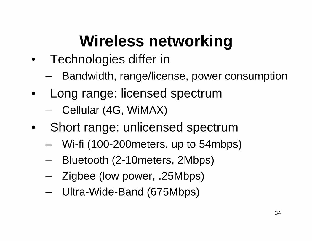
Wireless networking• Technologies differ in
– Bandwidth, range/license, power consumption• Long range: licensed spectrum
– Cellular (4G, WiMAX)• Short range: unlicensed spectrum
– Wi-fi (100-200meters, up to 54mbps)– Bluetooth (2-10meters, 2Mbps)– Zigbee (low power, .25Mbps)– Ultra-Wide-Band (675Mbps)
35
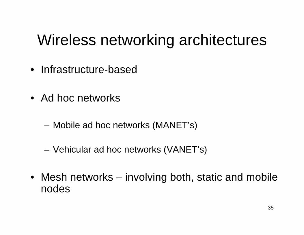
Wireless networking architectures
• Infrastructure-based
• Ad hoc networks
– Mobile ad hoc networks (MANET’s)
– Vehicular ad hoc networks (VANET’s)
• Mesh networks – involving both, static and mobile nodes
36
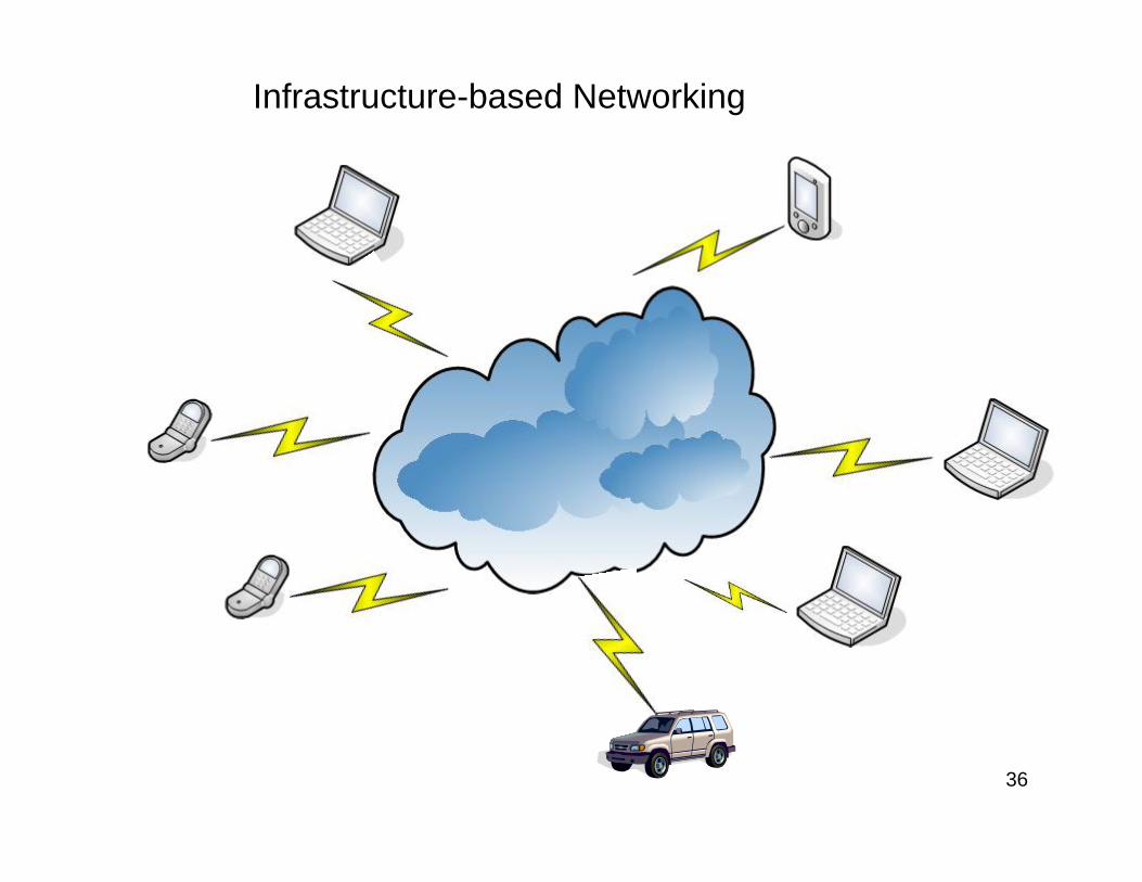
Infrastructure-based Networking
37
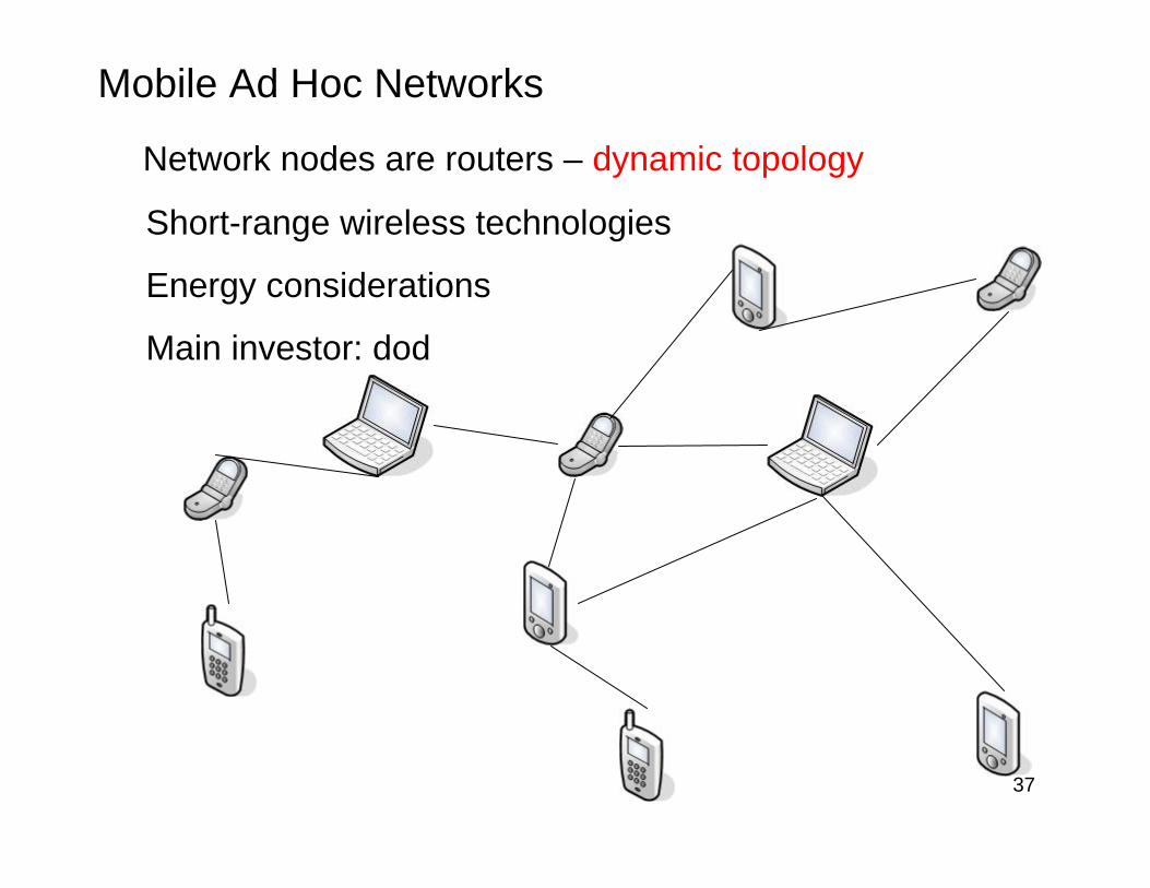
Mobile Ad Hoc Networks
Network nodes are routers – dynamic topology
Short-range wireless technologies
Energy considerations
Main investor: dod
38
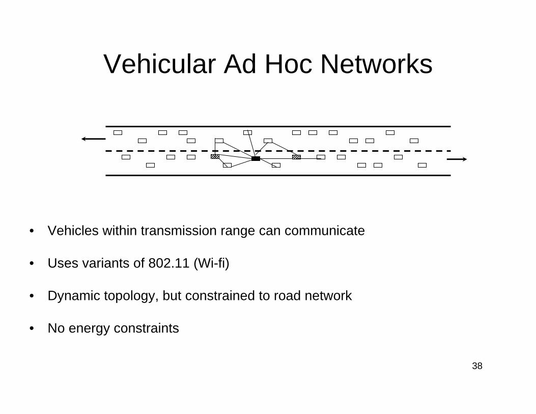
Vehicular Ad Hoc Networks
• Vehicles within transmission range can communicate
• Uses variants of 802.11 (Wi-fi)
• Dynamic topology, but constrained to road network
• No energy constraints
39
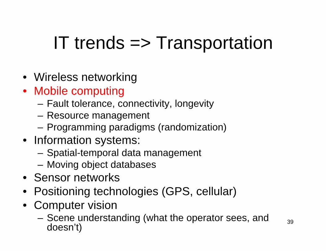
IT trends => Transportation
• Wireless networking• Mobile computing
– Fault tolerance, connectivity, longevity – Resource management – Programming paradigms (randomization)
• Information systems: – Spatial-temporal data management– Moving object databases
• Sensor networks• Positioning technologies (GPS, cellular)• Computer vision
– Scene understanding (what the operator sees, and doesn’t)
40
Mobile computing
• Resource constraints on nodes (devices)– Power– Bandwidth– Memory– Small screen– Small keyboard
41
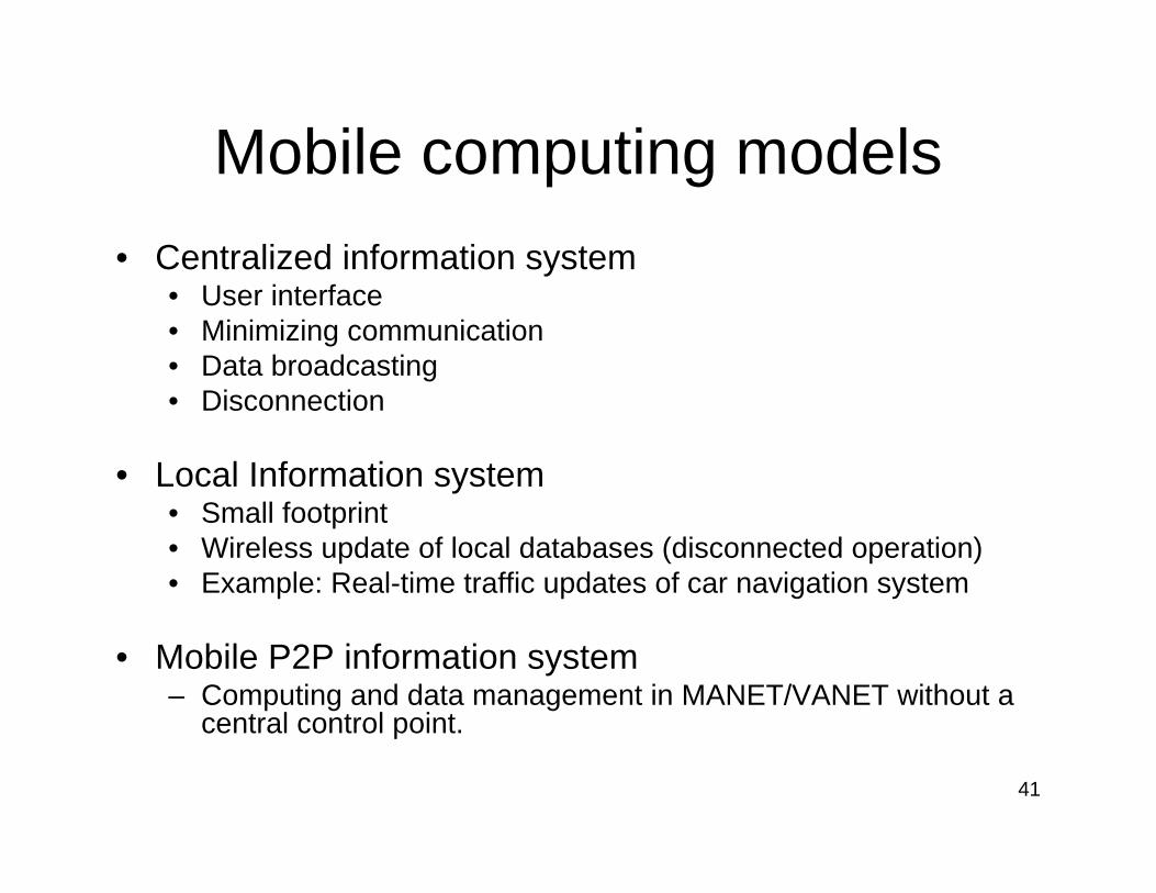
Mobile computing models• Centralized information system
• User interface• Minimizing communication• Data broadcasting• Disconnection
• Local Information system• Small footprint • Wireless update of local databases (disconnected operation)• Example: Real-time traffic updates of car navigation system
• Mobile P2P information system – Computing and data management in MANET/VANET without a
central control point.
42
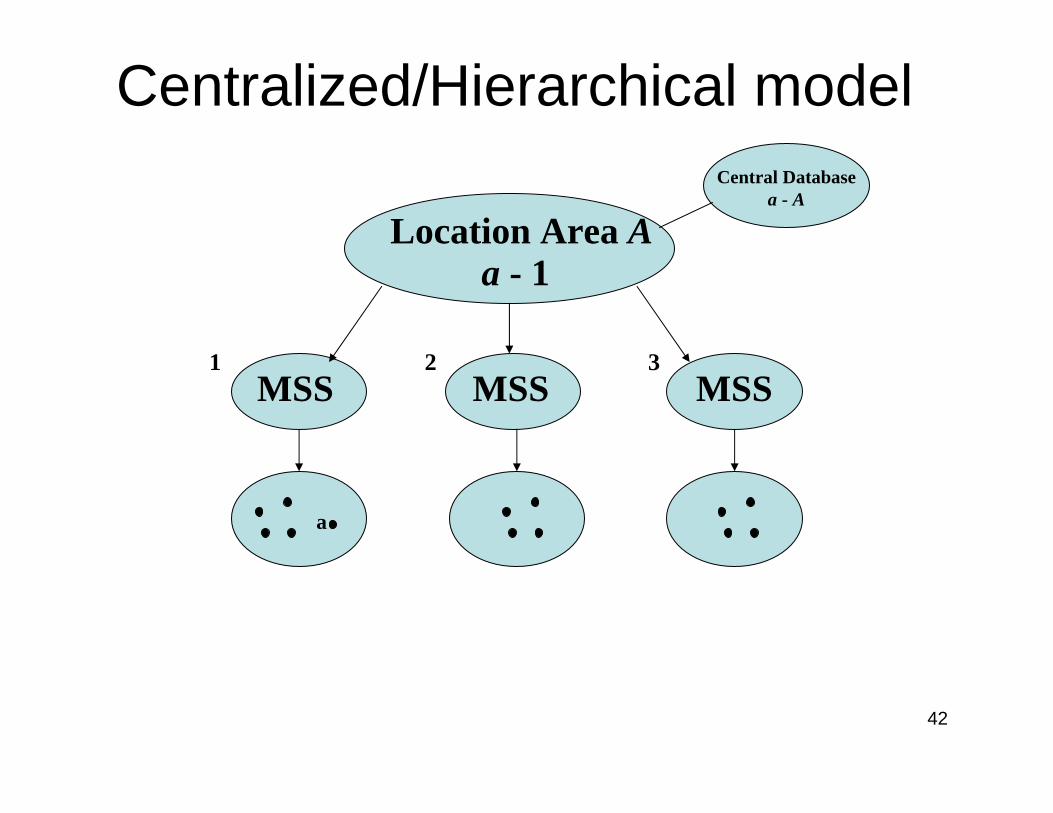
Centralized/Hierarchical modelCentral Database
a - A
Location Area Aa - 1
MSSMSSMSS
a
1 2 3
43
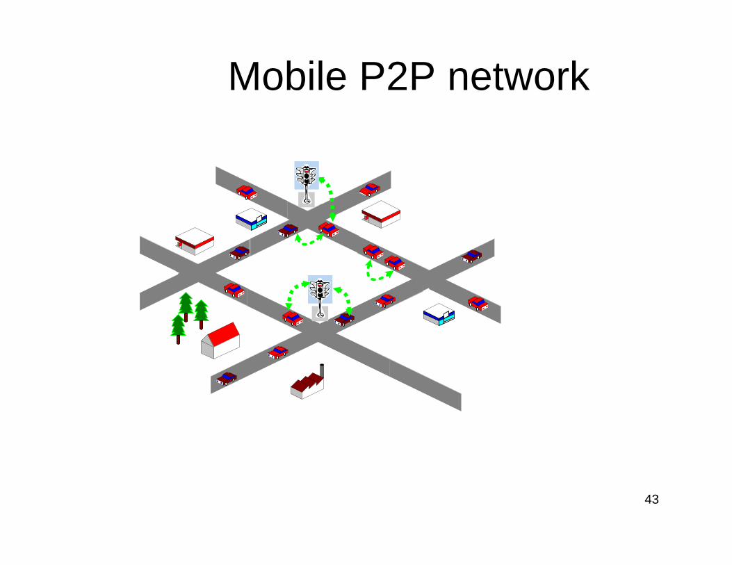
Mobile P2P network
44
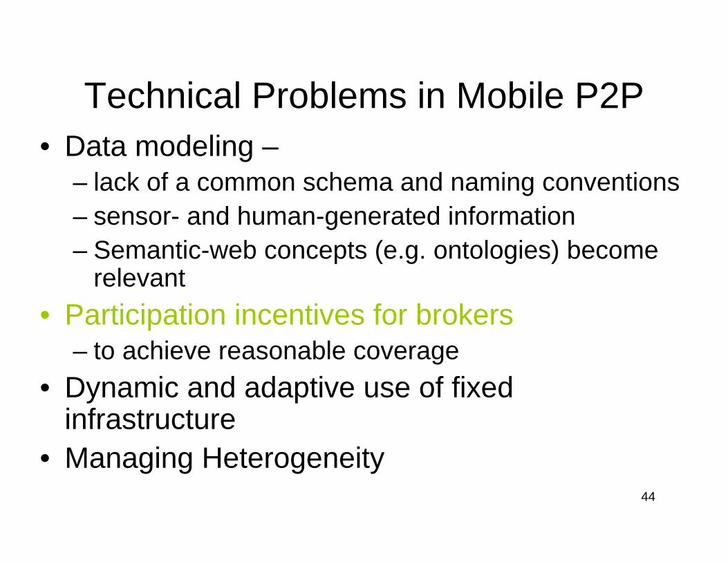
Technical Problems in Mobile P2P• Data modeling –
– lack of a common schema and naming conventions– sensor- and human-generated information– Semantic-web concepts (e.g. ontologies) become
relevant• Participation incentives for brokers
– to achieve reasonable coverage• Dynamic and adaptive use of fixed
infrastructure• Managing Heterogeneity
45
Mp2p vs. client-server• Mp2p advantages
– Zero cost • Unregulated communication• No central database to maintain
– Independent of infrastructure– Higher reliability– Privacy preservation– Often higher speed
• Mp2p disadvantages– Weaker answer-completeness guarantees– Density requirements
46
IT trends => Transportation
• Wireless networking• Mobile computing
– Fault tolerance, connectivity, longevity – Resource management – Programming paradigms (randomization)
• Information systems:– Spatial-temporal data management– Moving object databases
• Sensor networks• Positioning technologies (GPS, cellular)• Computer vision
– Scene understanding (what the operator sees, and doesn’t)
47
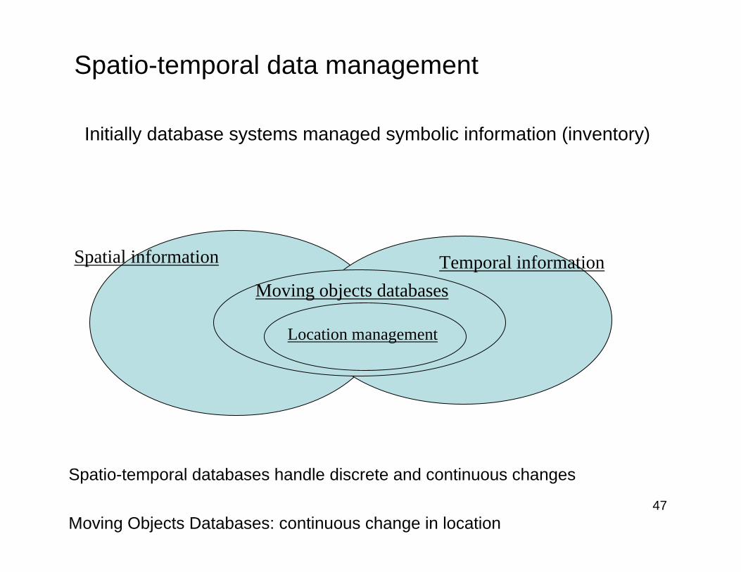
Spatio-temporal data management
Initially database systems managed symbolic information (inventory)
Spatial information Temporal informationMoving objects databases
Location management
Spatio-temporal databases handle discrete and continuous changes
Moving Objects Databases: continuous change in location
48
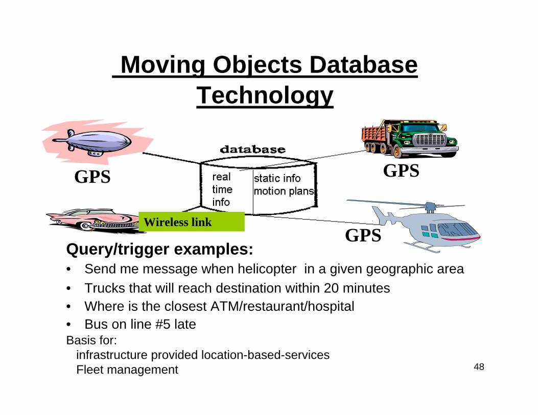
Moving Objects Database Technology
Query/trigger examples:• Send me message when helicopter in a given geographic area • Trucks that will reach destination within 20 minutes• Where is the closest ATM/restaurant/hospital • Bus on line #5 late
GPS
GPS
GPS
Wireless link
Basis for: infrastructure provided location-based-servicesFleet management
49
IT trends => Transportation
• Wireless networking• Mobile computing
– Fault tolerance, connectivity, longevity – Resource management – Programming paradigms (randomization)
• Information systems: – Spatial-temporal data management– Moving object databases
• Sensor networks• Positioning technologies (GPS, cellular)• Computer vision
– Scene understanding (what the operator sees, and doesn’t)
50
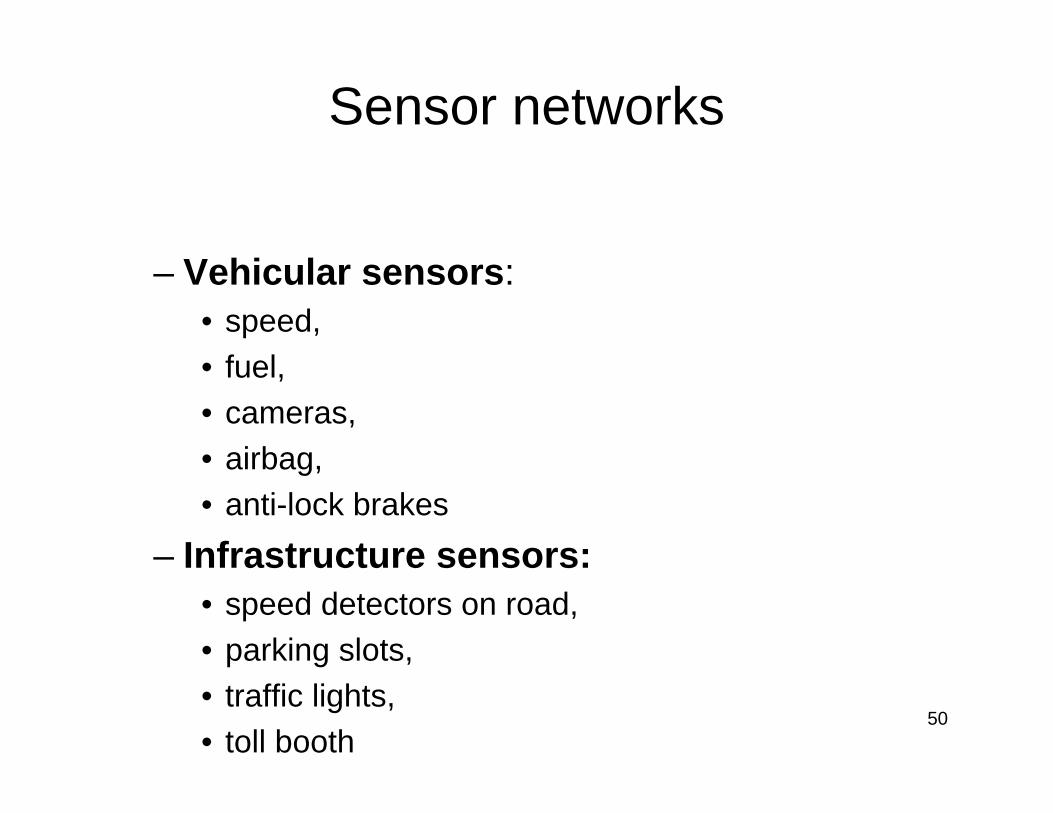
Sensor networks
– Vehicular sensors: • speed, • fuel, • cameras, • airbag, • anti-lock brakes
– Infrastructure sensors:• speed detectors on road,• parking slots, • traffic lights, • toll booth
51
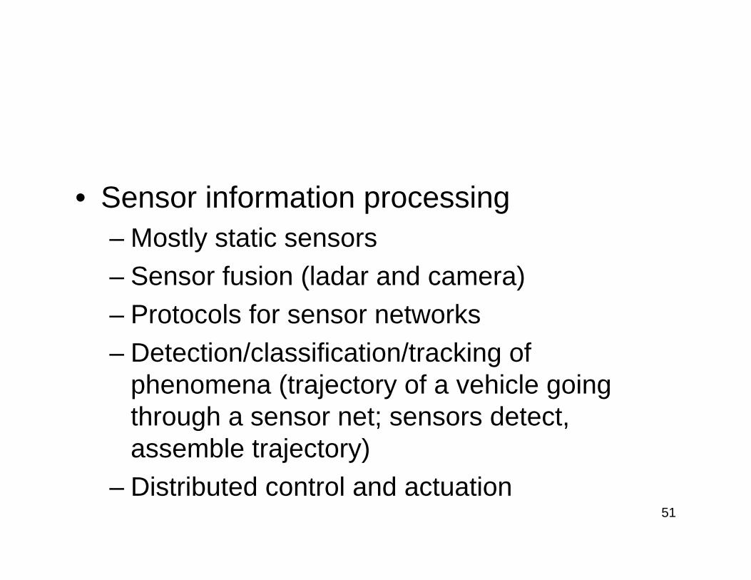
• Sensor information processing – Mostly static sensors– Sensor fusion (ladar and camera)– Protocols for sensor networks – Detection/classification/tracking of
phenomena (trajectory of a vehicle going through a sensor net; sensors detect, assemble trajectory)
– Distributed control and actuation
52
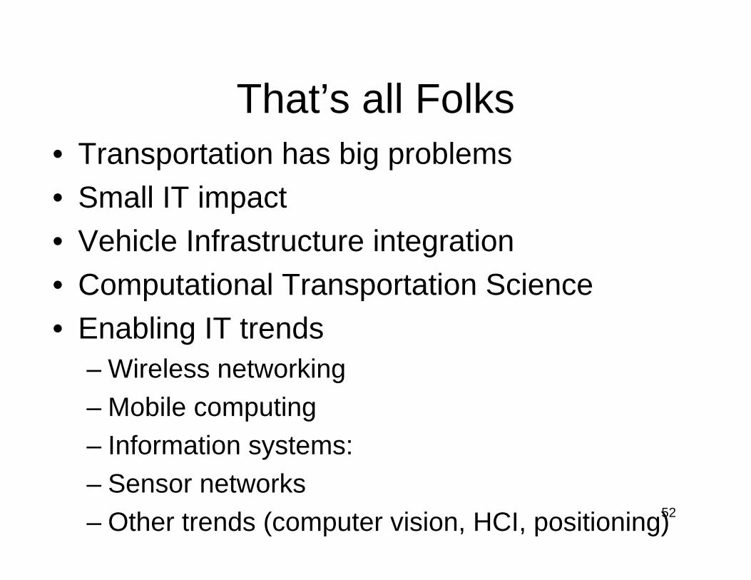
That’s all Folks• Transportation has big problems• Small IT impact• Vehicle Infrastructure integration• Computational Transportation Science• Enabling IT trends
– Wireless networking– Mobile computing– Information systems: – Sensor networks– Other trends (computer vision, HCI, positioning)