Embed Size (px)
Citation preview
Insight into GEMS
Central Ground Water Board
Topic of Discussion
BackgroundSoftware & Hardware RequirementsAbout the contractGEMS – Overview
Data EntryValidationData Processing & Analysis
Background
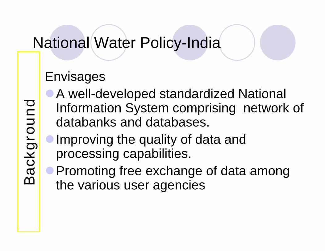
National Water Policy-India
EnvisagesA well-developed standardized National Information System comprising network of databanks and databases.Improving the quality of data and processing capabilities.Promoting free exchange of data among the various user agenciesB
ackg
round
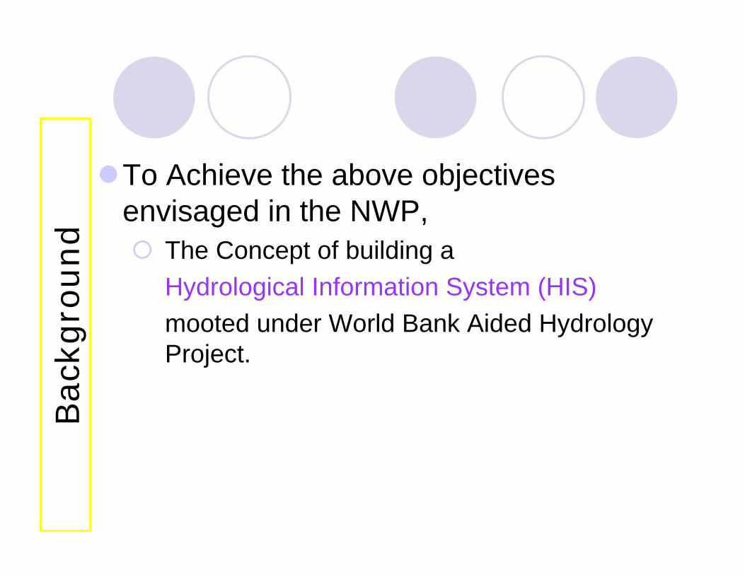
To Achieve the above objectives envisaged in the NWP,
The Concept of building a Hydrological Information System (HIS)mooted under World Bank Aided Hydrology Project.
Bac
kgro
und
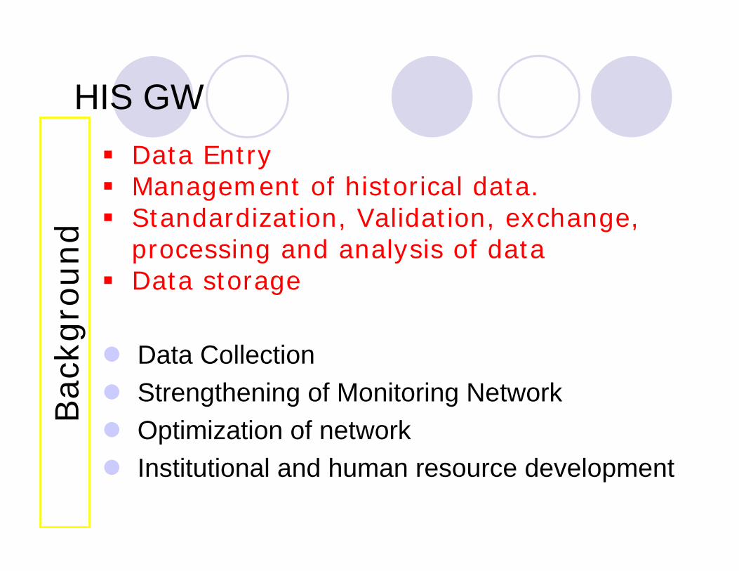
HIS GW
Data Collection Strengthening of Monitoring NetworkOptimization of networkInstitutional and human resource development
Data EntryManagement of historical data.Standardization, Validation, exchange, processing and analysis of data Data storage
Bac
kgro
und
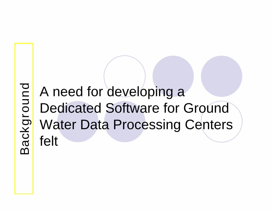
A need for developing a Dedicated Software for Ground Water Data Processing Centers felt
Bac
kgro
und
Software & Hardware Requirements
Turn Key solution to the following items• Development of Dedicated Software for
Ground Water Data Processing Centers.• Supply of compatible Database tool, GIS
Tools, Query and Reports generation tools and all the run time modules and software tools required by the software.
Soft
war
e &
Har
dw
are
Req
uirem
ents
• Supply of Hardware, Operating System, Communication and maintenance tools required for the Data Processing Centers
• Installation and implementation of the supplied items and software
• Training of End User and Staff and full Documentation and manuals for all the supply items.
Soft
war
e &
Har
dw
are
Req
uirem
ents
Maintenance and support of the supplied items for 4 years after the expiry of the warrantee of the pilot, based on satisfactory performance
Soft
war
e &
Har
dw
are
Req
uirem
ents
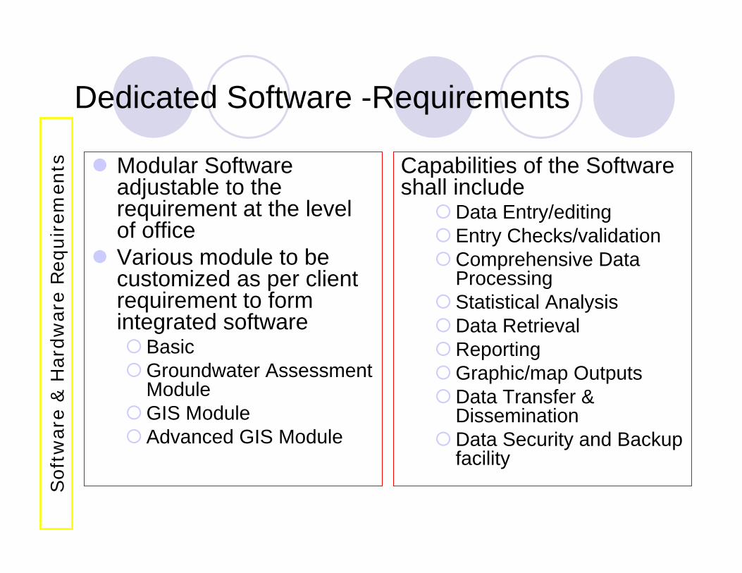
Dedicated Software -Requirements
Modular Software adjustable to the requirement at the level of officeVarious module to be customized as per client requirement to form integrated software
BasicGroundwater Assessment ModuleGIS ModuleAdvanced GIS Module
Capabilities of the Software shall include
Data Entry/editingEntry Checks/validationComprehensive Data ProcessingStatistical AnalysisData RetrievalReportingGraphic/map OutputsData Transfer & DisseminationData Security and Backup facility
Soft
war
e &
Har
dw
are
Req
uirem
ents

About the Contract
Development of Dedicated Software
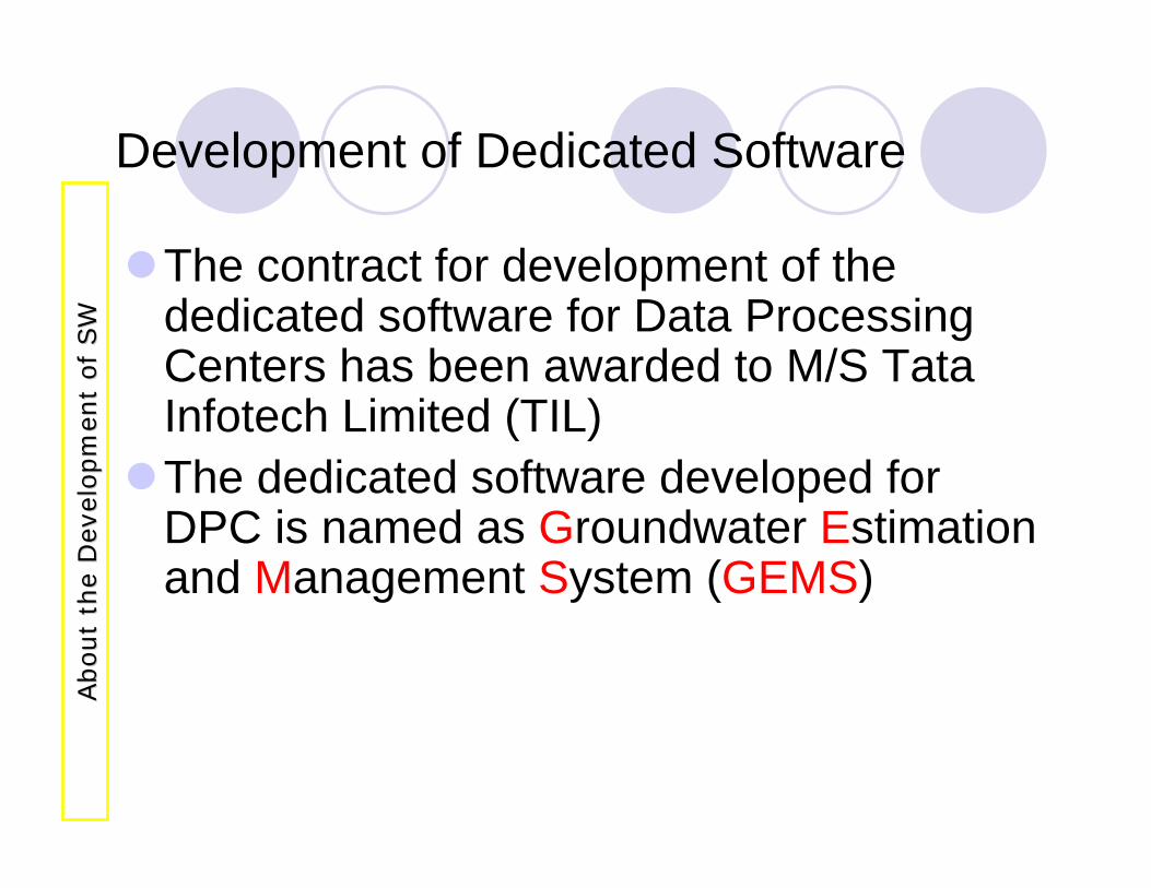
The contract for development of the dedicated software for Data Processing Centers has been awarded to M/S TataInfotech Limited (TIL)The dedicated software developed for DPC is named as Groundwater Estimation and Management System (GEMS)
About
the
Dev
elopm
ent
of
SW
About
the
Dev
elopm
ent
of
SW
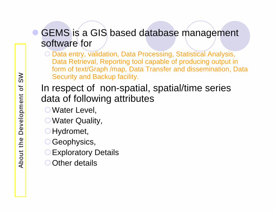
GEMS is a GIS based database management software for
Data entry, validation, Data Processing, Statistical Analysis, Data Retrieval, Reporting tool capable of producing output in form of text/Graph /map, Data Transfer and dissemination, Data Security and Backup facility.
In respect of non-spatial, spatial/time series data of following attributes
Water Level, Water Quality,Hydromet,Geophysics,Exploratory DetailsOther detailsA
bout
the
Dev
elopm
ent
of
SW
About
the
Dev
elopm
ent
of
SW
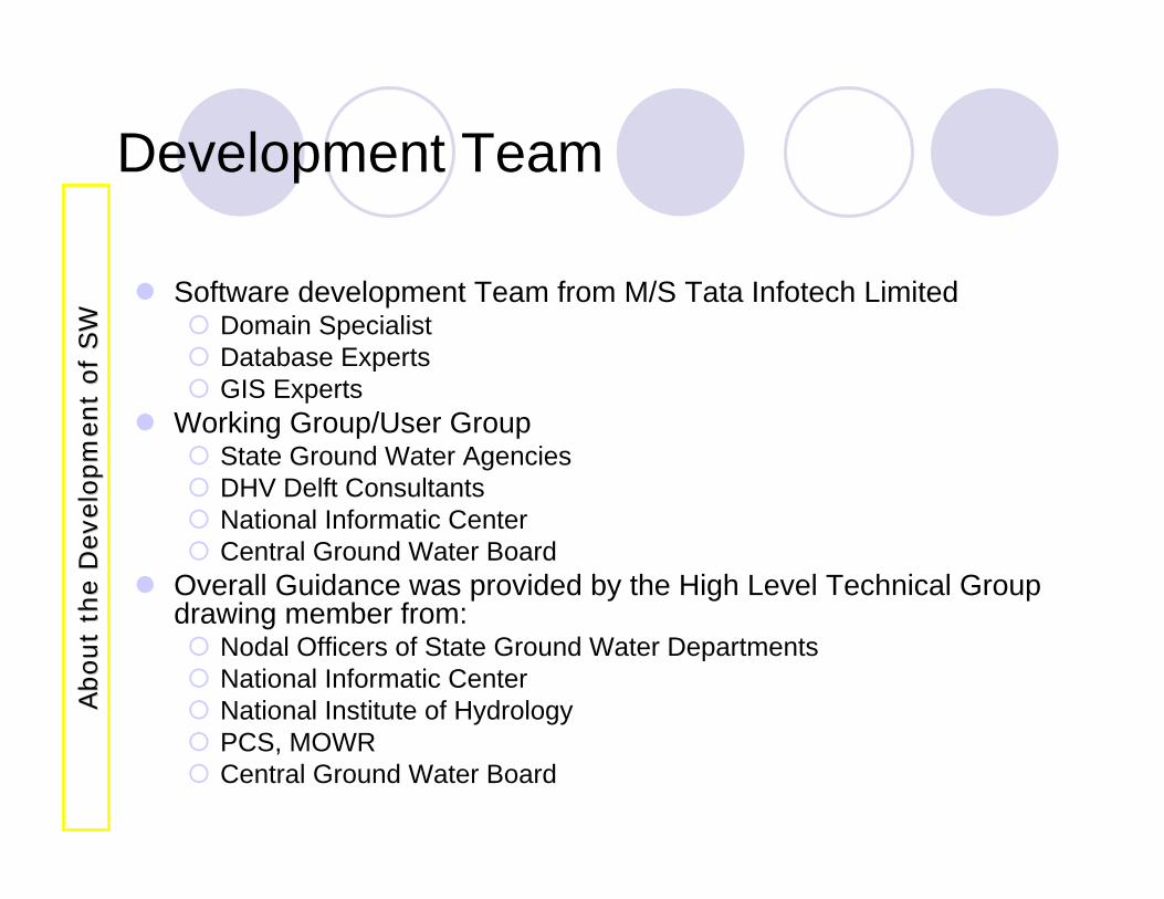
Development Team
Software development Team from M/S Tata Infotech LimitedDomain SpecialistDatabase ExpertsGIS Experts
Working Group/User GroupState Ground Water AgenciesDHV Delft ConsultantsNational Informatic CenterCentral Ground Water Board
Overall Guidance was provided by the High Level Technical Group drawing member from:
Nodal Officers of State Ground Water DepartmentsNational Informatic CenterNational Institute of HydrologyPCS, MOWRCentral Ground Water Board
About
the
Dev
elopm
ent
of
SW
About
the
Dev
elopm
ent
of
SW
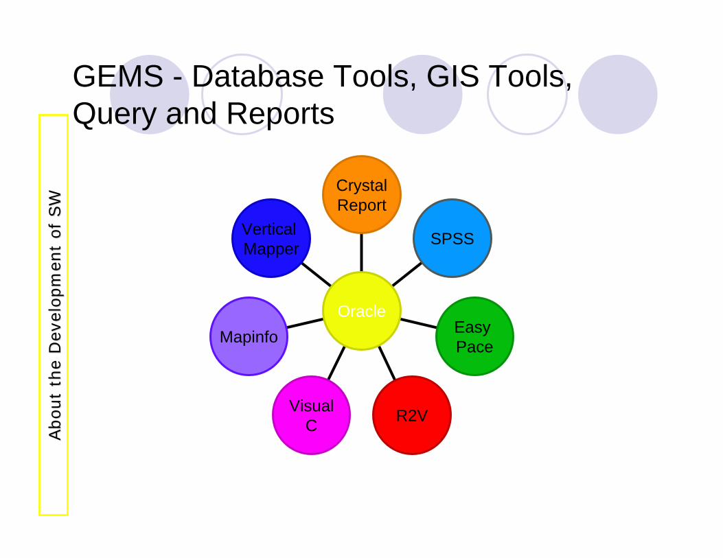
GEMS - Database Tools, GIS Tools, Query and Reports
Vertical Mapper
Mapinfo
VisualC R2V
Easy Pace
SPSS
CrystalReport
Oracle
About
the
Dev
elopm
ent
of
SW
About
the
Dev
elopm
ent
of
SW
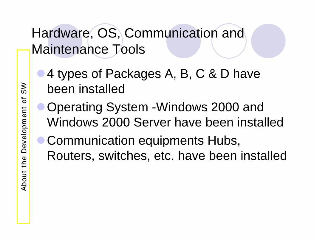
Hardware, OS, Communication and Maintenance Tools
4 types of Packages A, B, C & D have been installedOperating System -Windows 2000 and Windows 2000 Server have been installedCommunication equipments Hubs, Routers, switches, etc. have been installed
About
the
Dev
elopm
ent
of
SW
About
the
Dev
elopm
ent
of
SW
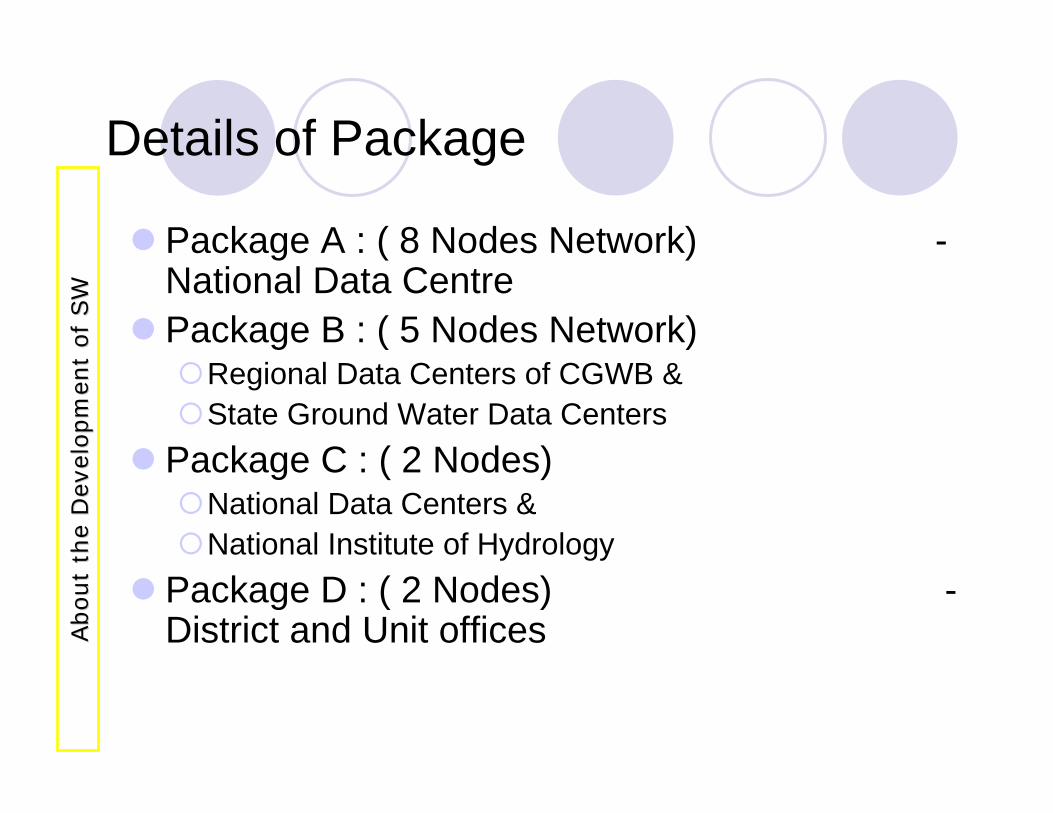
Details of Package
Package A : ( 8 Nodes Network) -National Data CentrePackage B : ( 5 Nodes Network)
Regional Data Centers of CGWB & State Ground Water Data Centers
Package C : ( 2 Nodes)National Data Centers &National Institute of Hydrology
Package D : ( 2 Nodes) -District and Unit officesA
bout
the
Dev
elopm
ent
of
SW
About
the
Dev
elopm
ent
of
SW
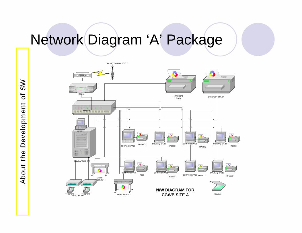
Network Diagram ‘A’ Package
HP880
Router
SWTCH
COMPAQPLML570
console
COMPAQ SP750COMPAQ SP750 COMPAQ SP750COMPAQ SP750
COMPAQ SP750COMPAQ SP750
COMPAQ SP750COMPAQ SP750
HP880C
HP880C HP880CHP880C
HP880C
Plotter HP750C Scanner
HP880C HP880C
Telephone Telephone
LASERJETB & W
LASERJET COLOR
NICNET CONNECTIVITY
N/W DIAGRAM FORCGWB SITE AFOR DAIL UP
VIDARDIGITIZER
MODEM
Modem Modem
About
the
Dev
elopm
ent
of
SW
About
the
Dev
elopm
ent
of
SW
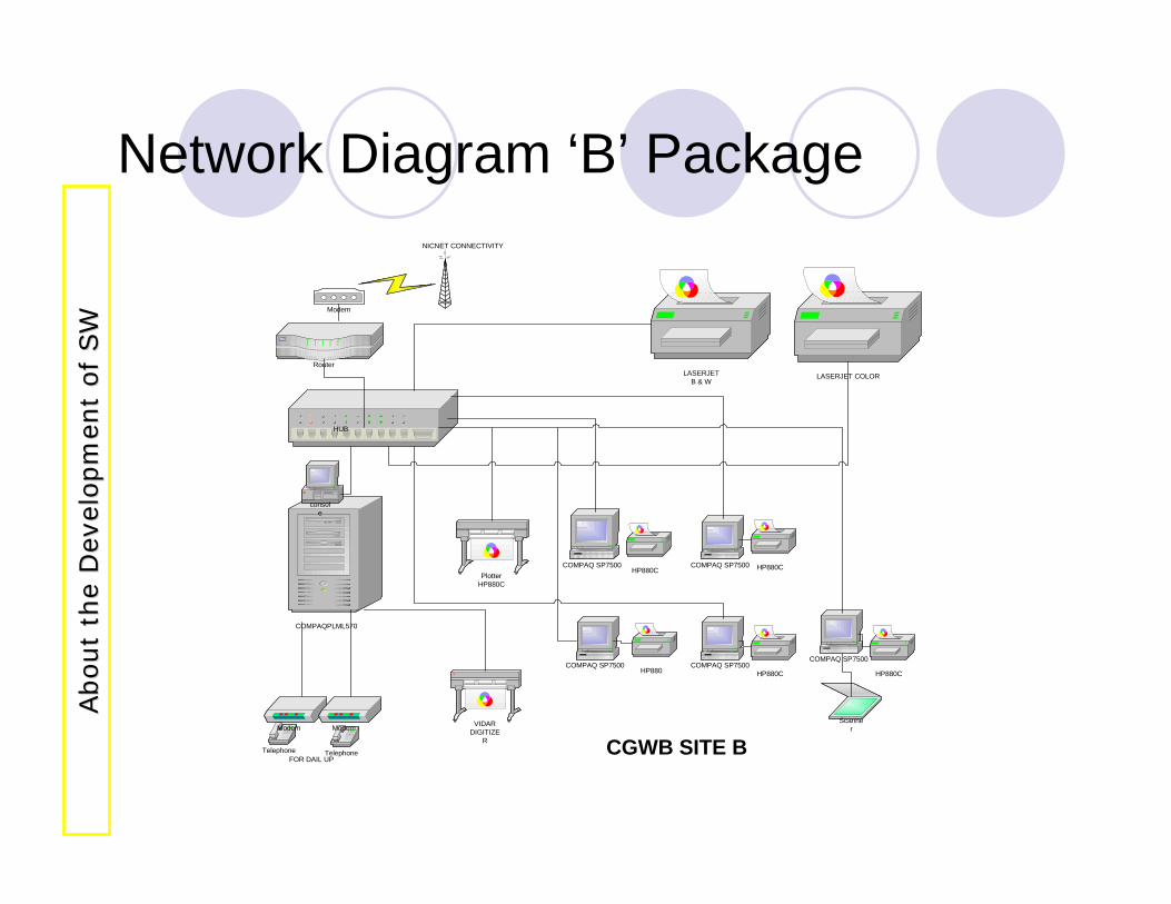
Network Diagram ‘B’ Package
HP880
Router
HUB
COMPAQPLML570
console
COMPAQ SP7500COMPAQ SP7500 COMPAQ SP7500
COMPAQ SP7500 COMPAQ SP7500
HP880C
HP880C HP880CPlotter
HP880C
Scanner
HP880C
Telephone Telephone
LASERJETB & W
LASERJET COLOR
NICNET CONNECTIVITY
CGWB SITE BFOR DAIL UP
VIDARDIGITIZE
R
Modem Modem
Modem
About
the
Dev
elopm
ent
of
SW
About
the
Dev
elopm
ent
of
SW
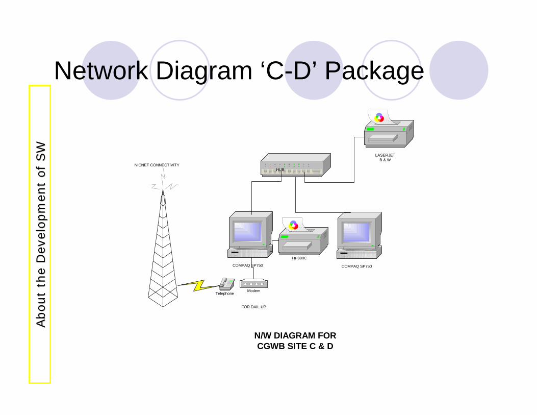
Network Diagram ‘C-D’ Package
HUB
COMPAQ SP750
HP880C
Telephone
LASERJETB & W
Modem
NICNET CONNECTIVITY
N/W DIAGRAM FORCGWB SITE C & D
FOR DAIL UP
COMPAQ SP750
About
the
Dev
elopm
ent
of
SW
About
the
Dev
elopm
ent
of
SW
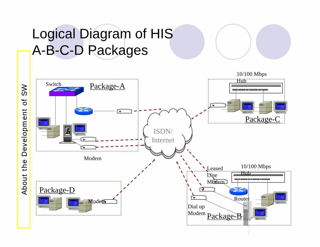
Logical Diagram of HISA-B-C-D Packages
ISDN/Internet
Package-A
Package-C
Package-D
Package-B
Switch
Dial up Modem
Leased Line Modem
10/100 Mbps Hub
10/100 Mbps Hub
Modem
Modem
Router
About
the
Dev
elopm
ent
of
SW
About
the
Dev
elopm
ent
of
SW
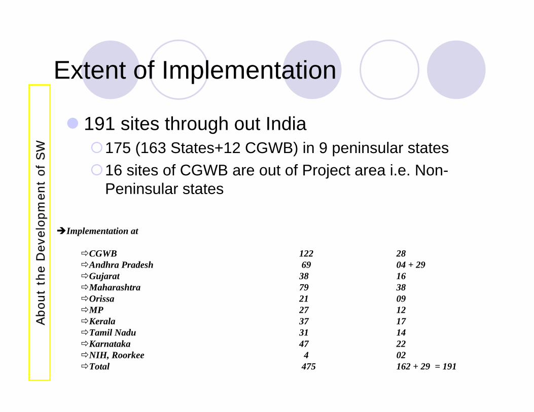
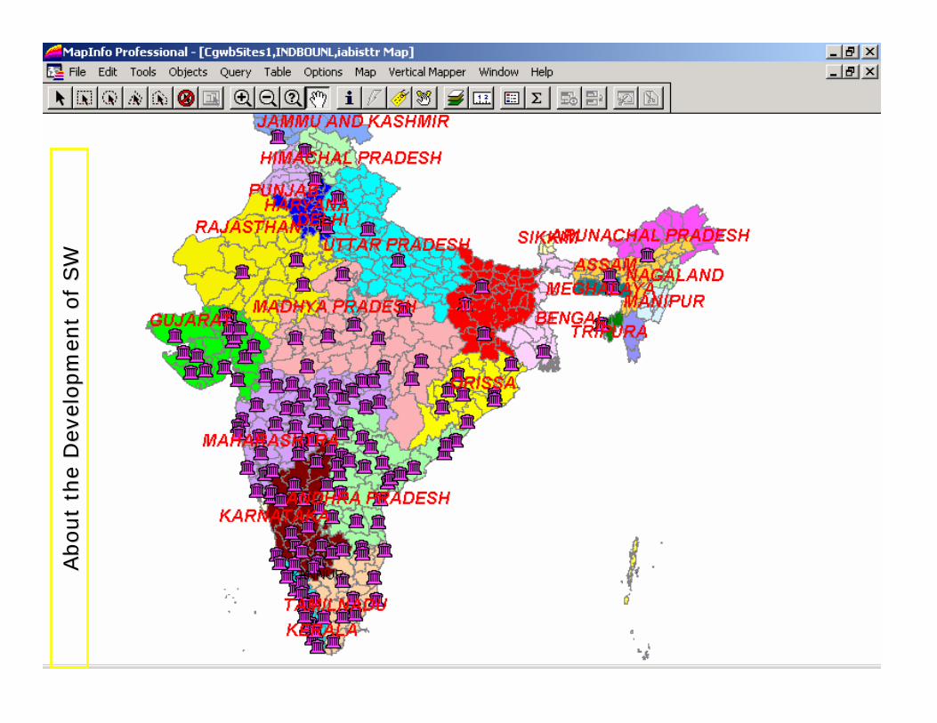
Extent of Implementation
191 sites through out India175 (163 States+12 CGWB) in 9 peninsular states16 sites of CGWB are out of Project area i.e. Non-Peninsular states
Implementation at
CGWB 122 28Andhra Pradesh 69 04 + 29Gujarat 38 16Maharashtra 79 38Orissa 21 09MP 27 12Kerala 37 17Tamil Nadu 31 14Karnataka 47 22NIH, Roorkee 4 02Total 475 162 + 29 = 191
About
the
Dev
elopm
ent
of
SW
About
the
Dev
elopm
ent
of
SW
About
the
Dev
elopm
ent
of
SW
About
the
Dev
elopm
ent
of
SW
Training of End User and Staff
508 end user have been trained for operation and maintenance of the GEMS software and hardware1 - TOT course for 30 persons have been conductedSecond TOT course is under going presently at NDC, FaridabadDocumentation and manuals for all the supply items provided.Manual for GEMS software has been finalized for distribution.A
bout
the
Dev
elopm
ent
of
SW
About
the
Dev
elopm
ent
of
SW
Maintenance and Support
2 officers per B-site have been nominated for monthly review meeting with M/S Tata Infotech Limited (TIL) for evaluation of maintenance and support.Regular meetings are being held in the 1st week of every month at all the B-Sites At NDC level all calls made during the month are reviewed by a committee every month in the 2nd /3rd
weekWeb Based helpdesk site has been registered with the domain name www.cgwbgems.org and is under construction.In addition to the above the maintenance is through the toll free number at Mumbai, Email to CGWB & M/S TIL is in operation.
About
the
Dev
elopm
ent
of
SW
About
the
Dev
elopm
ent
of
SW
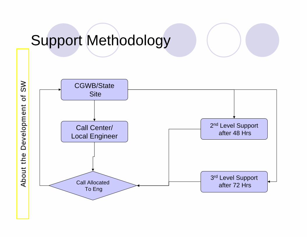
Call AllocatedTo Eng
Call Center/Local Engineer
CGWB/StateSite
2nd Level Supportafter 48 Hrs
3rd Level Supportafter 72 Hrs
Support MethodologyAbout
the
Dev
elopm
ent
of
SW
About
the
Dev
elopm
ent
of
SW
GEMS- an Overview
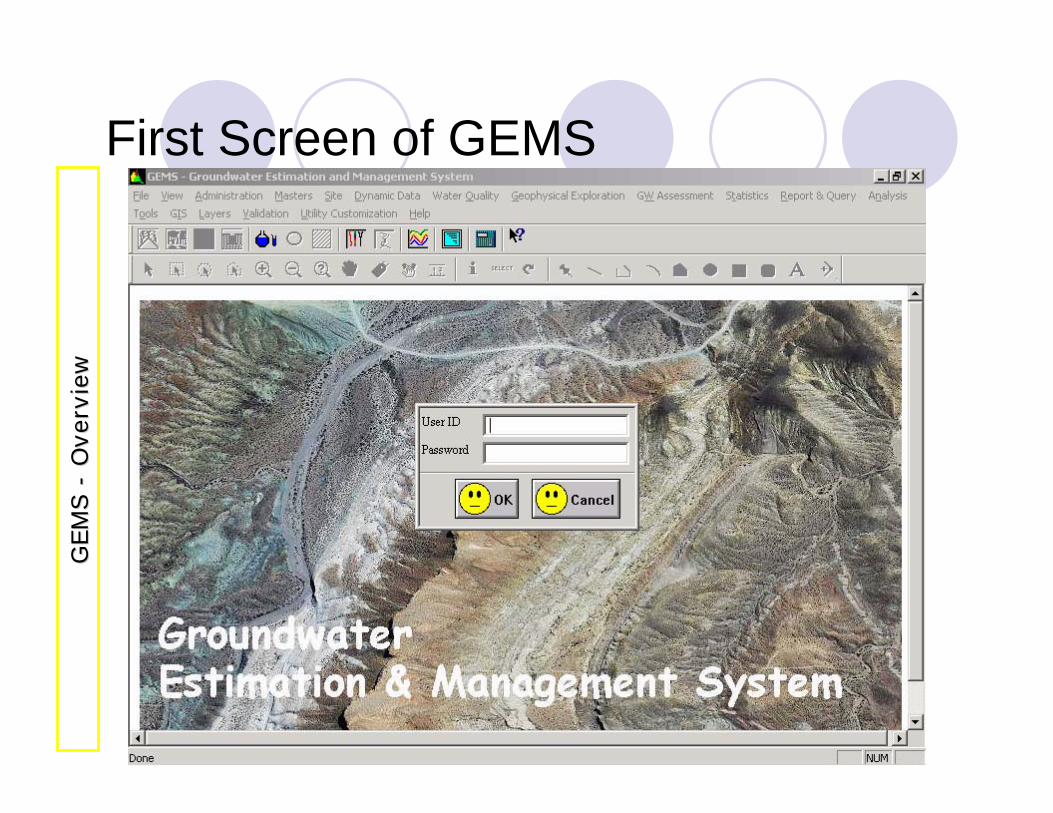
First Screen of GEMSG
EM
S
GEM
S --
Ove
rvie
wO
verv
iew
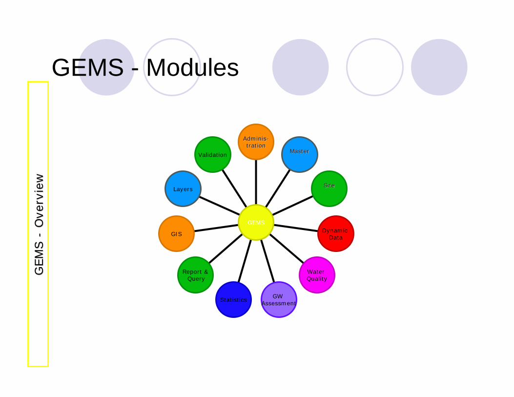
GEMS - Modules
Validation
Layers
GIS
Report &Query
Statistics GW Assessment
Water Quality
Dynamic Data
SiteSite
MasterMaster
AdminisAdminis--trationtration
GEMS
GEM
S
GEM
S --
Ove
rvie
wO
verv
iew
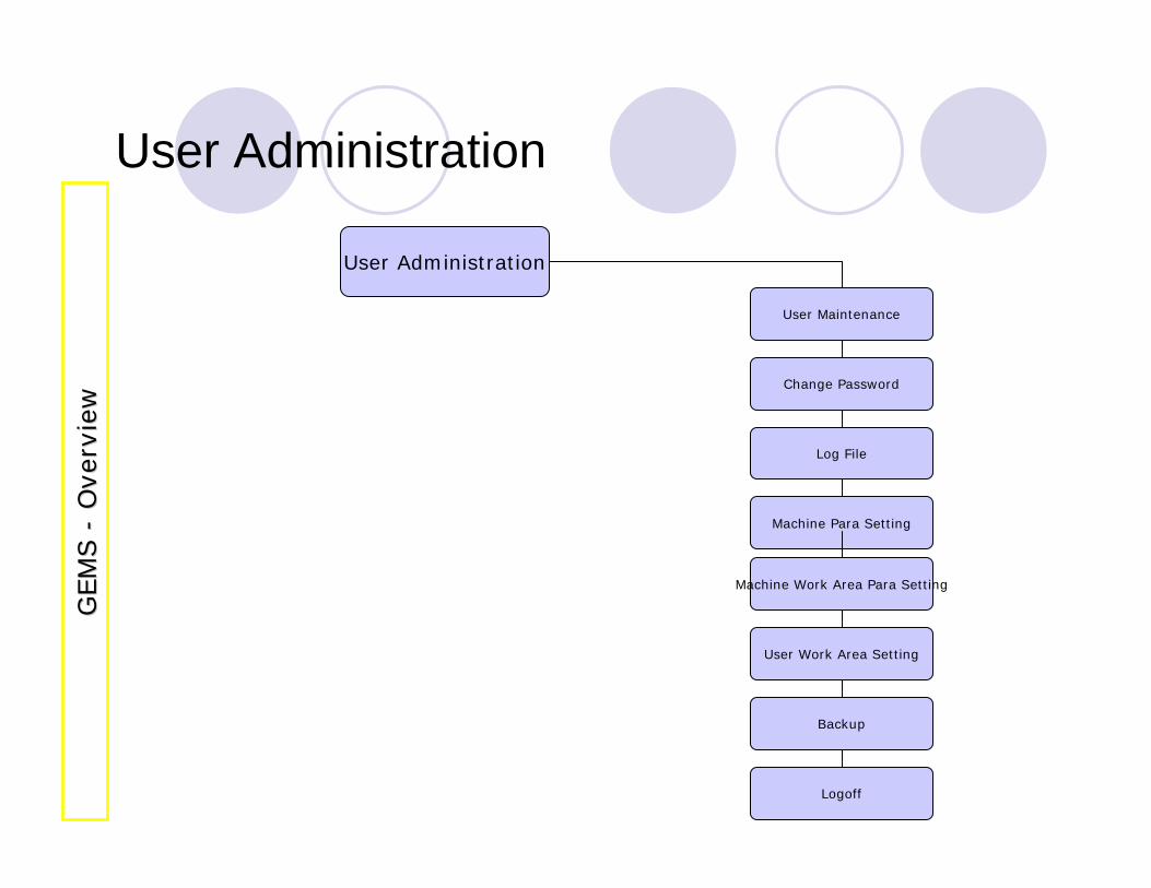
User Administration
User Administration
User Maintenance
Change Password
Log File
Machine Para Setting
Machine Work Area Para Setting
User Work Area Setting
Backup
Logoff
GEM
S
GEM
S --
Ove
rvie
wO
verv
iew
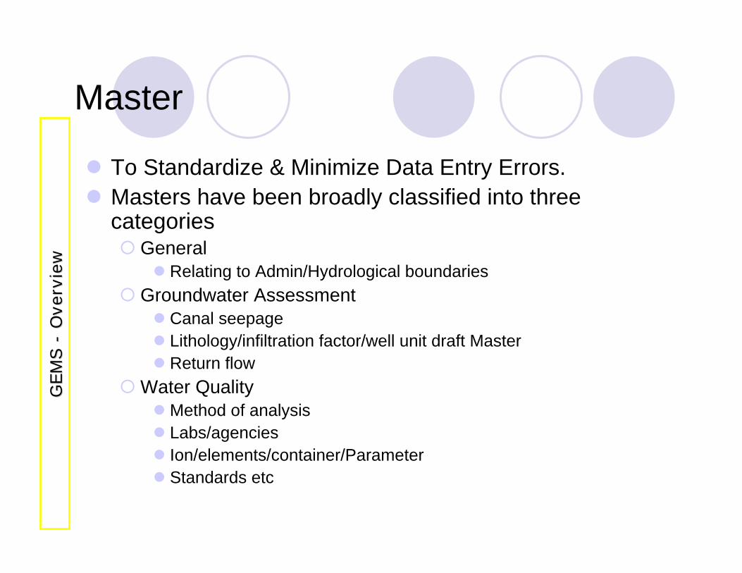
Master
To Standardize & Minimize Data Entry Errors.Masters have been broadly classified into three categories
GeneralRelating to Admin/Hydrological boundaries
Groundwater AssessmentCanal seepageLithology/infiltration factor/well unit draft MasterReturn flow
Water QualityMethod of analysisLabs/agenciesIon/elements/container/ParameterStandards etc
GEM
S
GEM
S --
Ove
rvie
wO
verv
iew
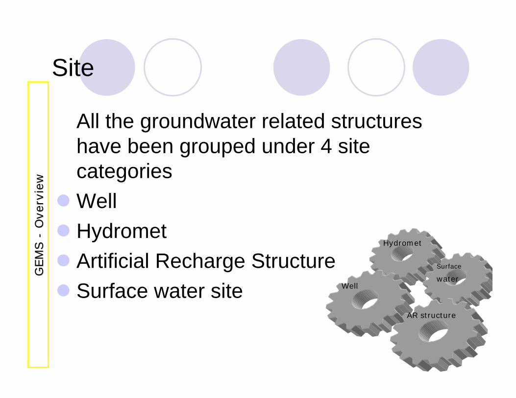
Site
All the groundwater related structures have been grouped under 4 site categoriesWellHydrometArtificial Recharge StructureSurface water site
Hydromet
Well
Surface
water
AR structure
GEM
S
GEM
S --
Ove
rvie
wO
verv
iew
DATA ENTRY
Data Entry
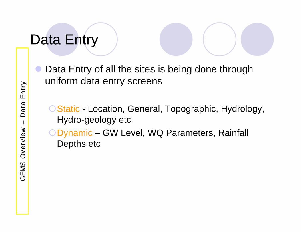
Data Entry of all the sites is being done through uniform data entry screens
Static - Location, General, Topographic, Hydrology, Hydro-geology etcDynamic – GW Level, WQ Parameters, Rainfall Depths etc
GEM
S O
verv
iew
G
EM
S O
verv
iew
––D
ata
Entr
yD
ata
Entr
y
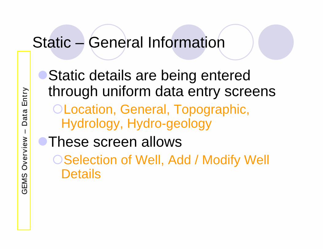
Static – General Information
Static details are being entered through uniform data entry screens
Location, General, Topographic, Hydrology, Hydro-geology
These screen allows Selection of Well, Add / Modify Well Details
GEM
S O
verv
iew
G
EM
S O
verv
iew
––D
ata
Entr
yD
ata
Entr
y
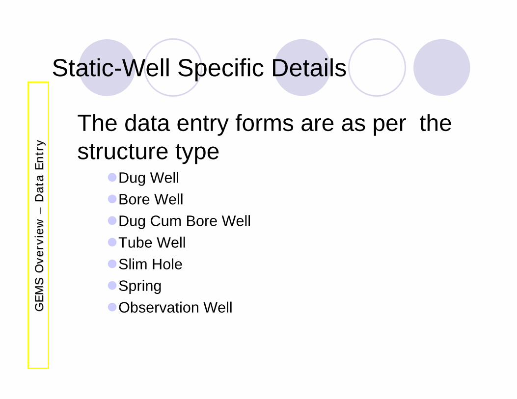
Static-Well Specific Details
The data entry forms are as per the structure type
Dug WellBore WellDug Cum Bore WellTube WellSlim HoleSpringObservation WellG
EM
S O
verv
iew
G
EM
S O
verv
iew
––D
ata
Entr
yD
ata
Entr
y
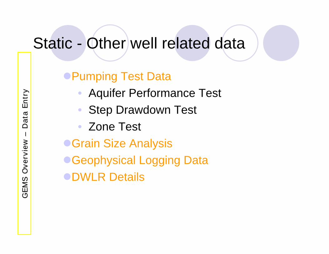
Static - Other well related data
Pumping Test Data• Aquifer Performance Test• Step Drawdown Test• Zone Test
Grain Size AnalysisGeophysical Logging DataDWLR Details
GEM
S O
verv
iew
G
EM
S O
verv
iew
––D
ata
Entr
yD
ata
Entr
y
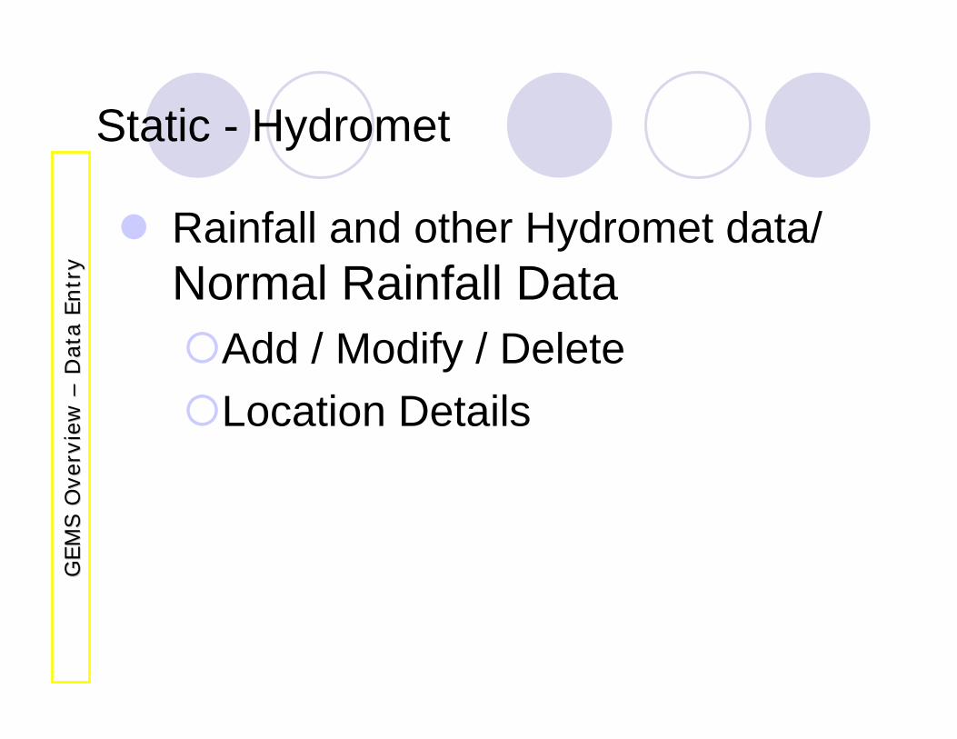
Static - Hydromet
Rainfall and other Hydromet data/ Normal Rainfall Data
Add / Modify / Delete Location Details
GEM
S O
verv
iew
G
EM
S O
verv
iew
––D
ata
Entr
yD
ata
Entr
y
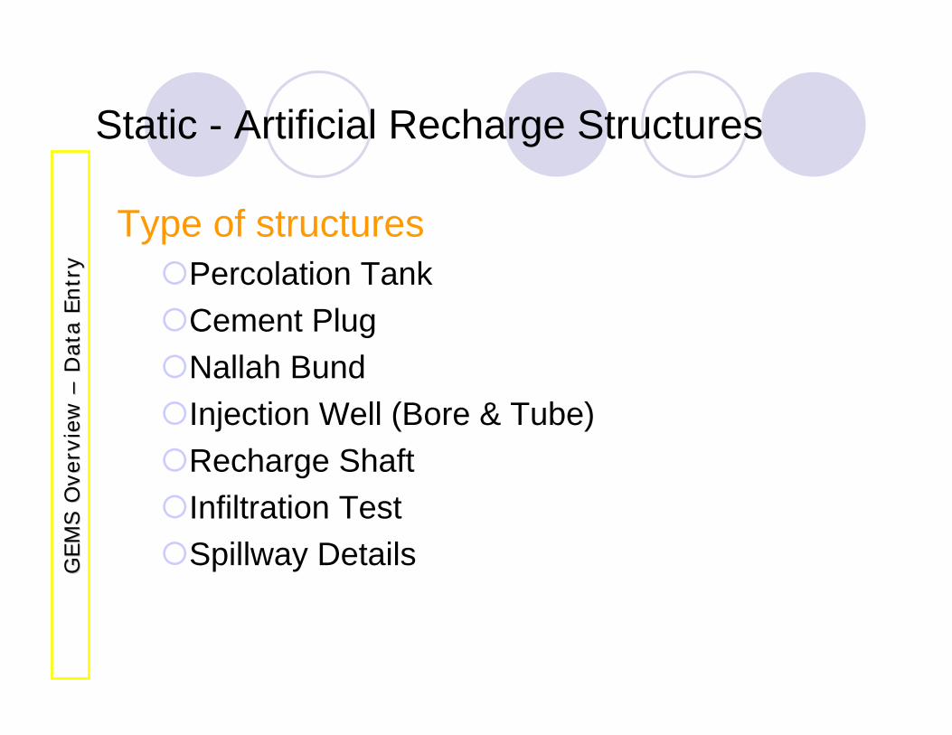
Static - Artificial Recharge Structures
Type of structuresPercolation TankCement PlugNallah BundInjection Well (Bore & Tube)Recharge ShaftInfiltration TestSpillway DetailsG
EM
S O
verv
iew
G
EM
S O
verv
iew
––D
ata
Entr
yD
ata
Entr
y
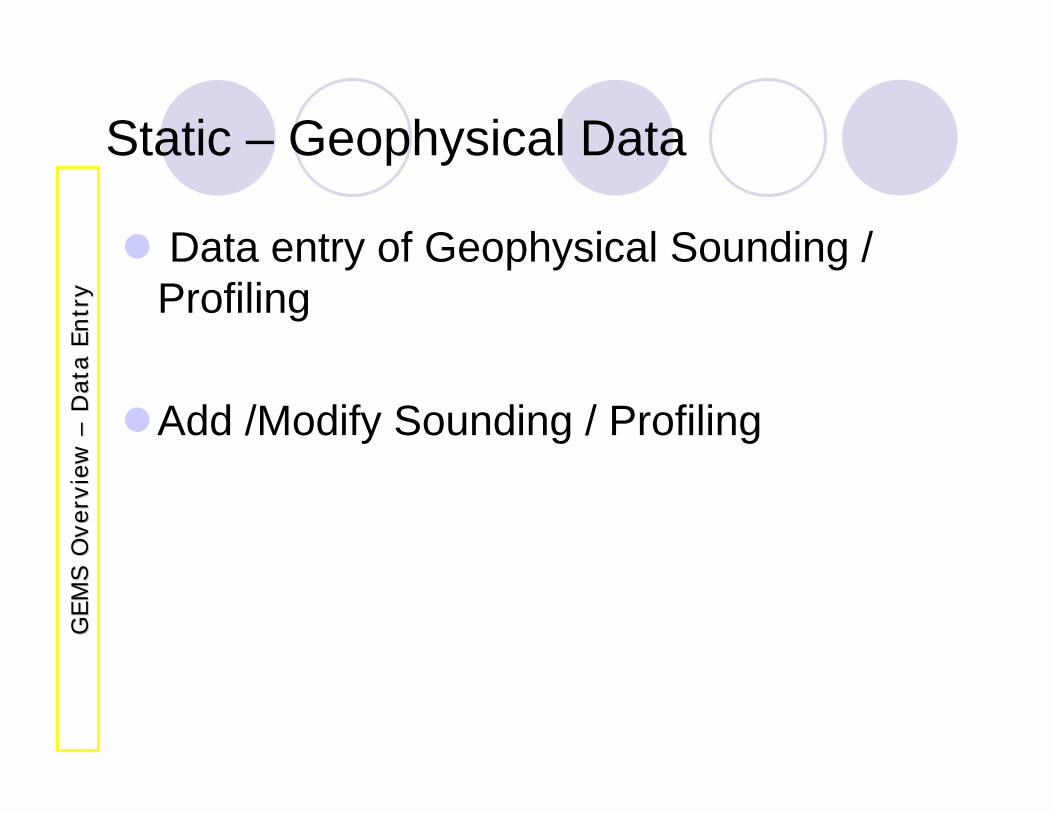
Static – Geophysical Data
Data entry of Geophysical Sounding / Profiling
Add /Modify Sounding / Profiling
GEM
S O
verv
iew
G
EM
S O
verv
iew
––D
ata
Entr
yD
ata
Entr
y
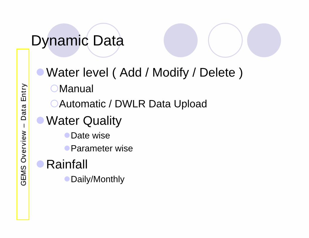
Dynamic Data
Water level ( Add / Modify / Delete )Manual Automatic / DWLR Data Upload
Water QualityDate wise Parameter wise
RainfallDaily/MonthlyG
EM
S O
verv
iew
G
EM
S O
verv
iew
––D
ata
Entr
yD
ata
Entr
y
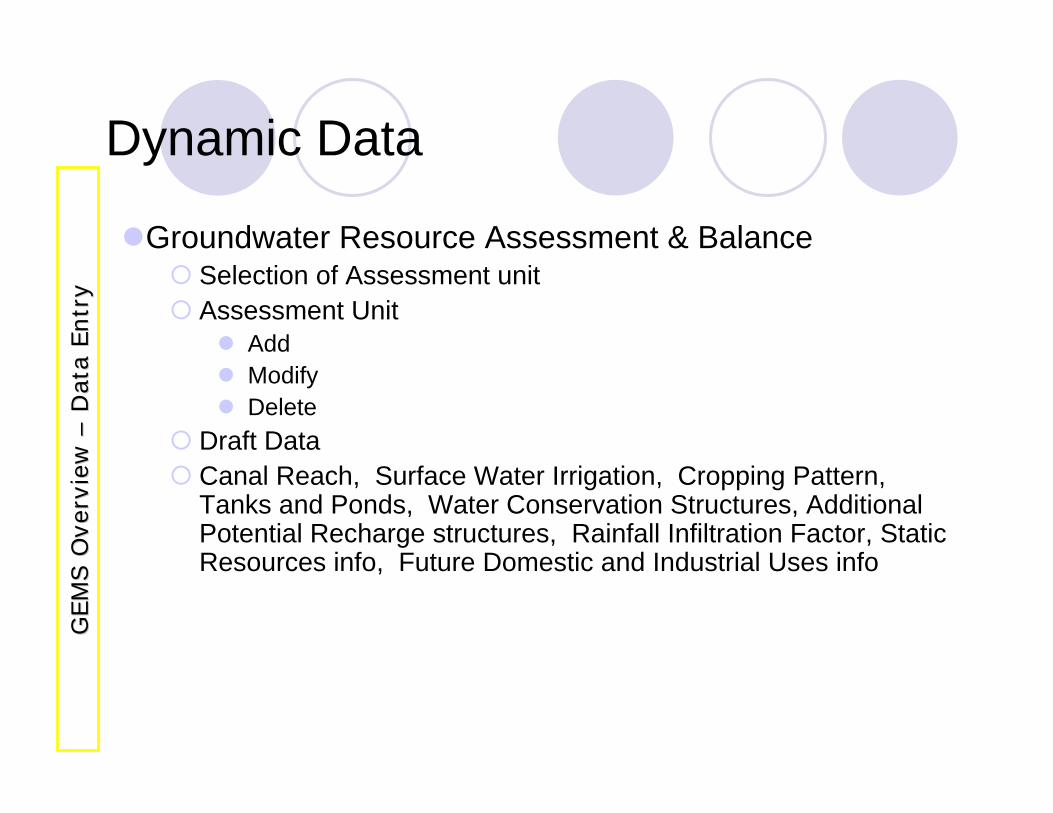
Dynamic Data
Groundwater Resource Assessment & BalanceSelection of Assessment unitAssessment Unit
AddModify Delete
Draft DataCanal Reach, Surface Water Irrigation, Cropping Pattern, Tanks and Ponds, Water Conservation Structures, Additional Potential Recharge structures, Rainfall Infiltration Factor, Static Resources info, Future Domestic and Industrial Uses info
GEM
S O
verv
iew
G
EM
S O
verv
iew
––D
ata
Entr
yD
ata
Entr
y
DATA VALIDATION
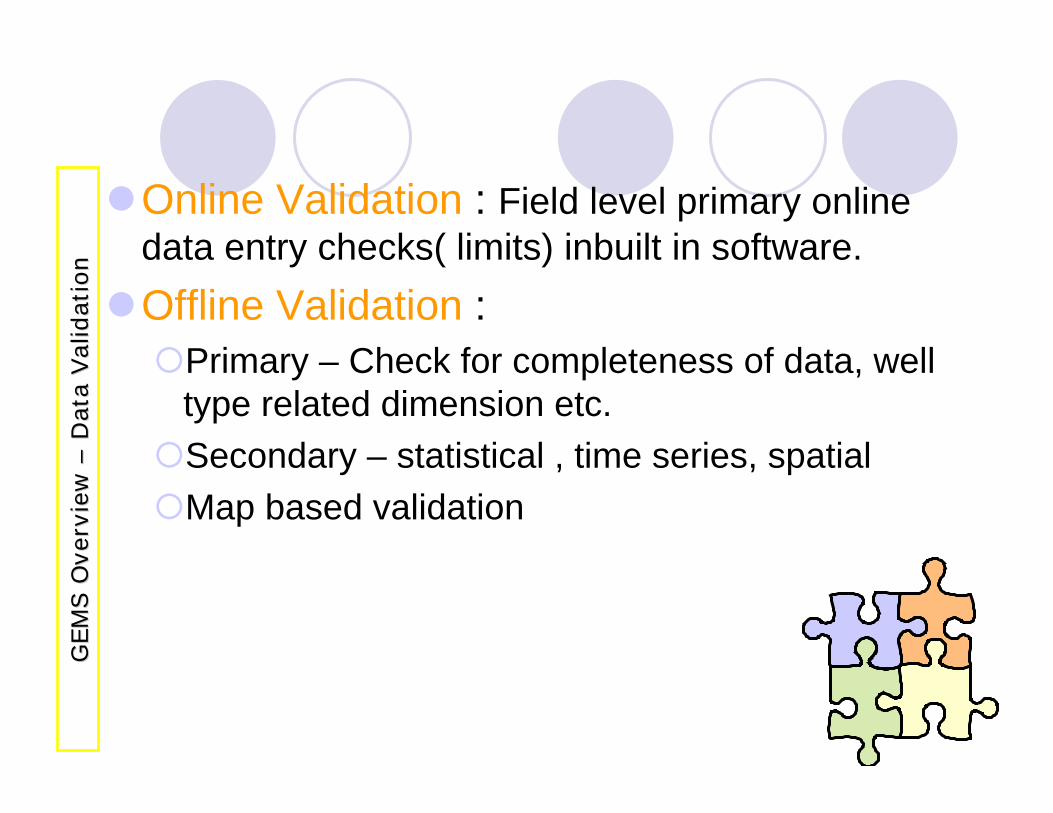
Online Validation : Field level primary online data entry checks( limits) inbuilt in software. Offline Validation :
Primary – Check for completeness of data, well type related dimension etc.Secondary – statistical , time series, spatialMap based validation
GEM
S O
verv
iew
G
EM
S O
verv
iew
––D
ata
Val
idat
ion
Dat
a Val
idat
ion
DATA PROCESSSING &
ANALYSIS
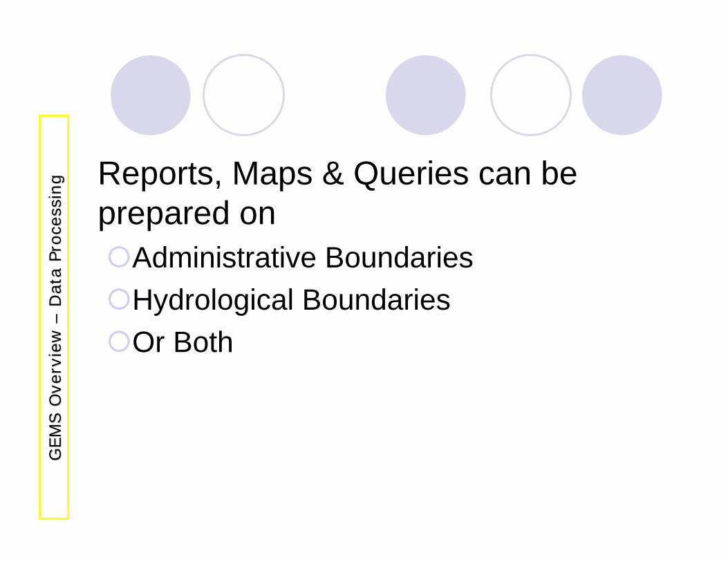
Reports, Maps & Queries can be prepared on
Administrative BoundariesHydrological BoundariesOr Both
GEM
S O
verv
iew
G
EM
S O
verv
iew
––D
ata
Proce
ssin
gD
ata
Proce
ssin
g
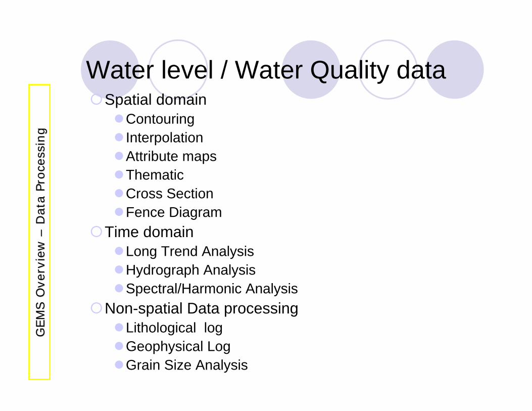
Spatial domainContouringInterpolationAttribute mapsThematicCross SectionFence Diagram
Time domainLong Trend AnalysisHydrograph AnalysisSpectral/Harmonic Analysis
Non-spatial Data processingLithological logGeophysical LogGrain Size Analysis
GEM
S O
verv
iew
G
EM
S O
verv
iew
––D
ata
Proce
ssin
gD
ata
Proce
ssin
g
Water level / Water Quality data
Hydrograph AnalysisComprehensive Logs DisplayGrain Size AnalysisHydrogeological MapMorphometric AnalysisEvent Analysis (Change Analysis)
GEM
S O
verv
iew
G
EM
S O
verv
iew
––D
ata
Proce
ssin
gD
ata
Proce
ssin
g
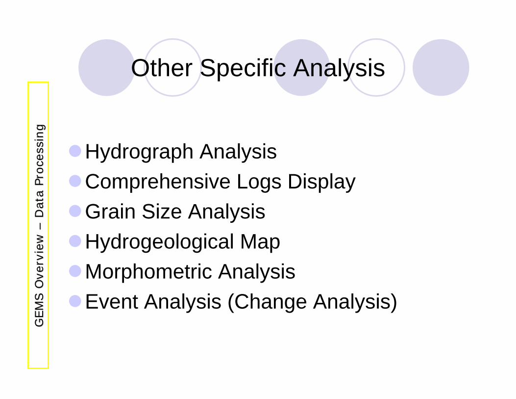
Other Specific Analysis
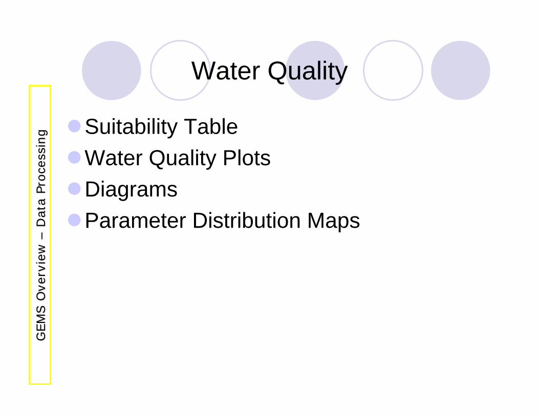
Suitability TableWater Quality PlotsDiagramsParameter Distribution Maps
GEM
S O
verv
iew
G
EM
S O
verv
iew
––D
ata
Proce
ssin
gD
ata
Proce
ssin
g
Water Quality
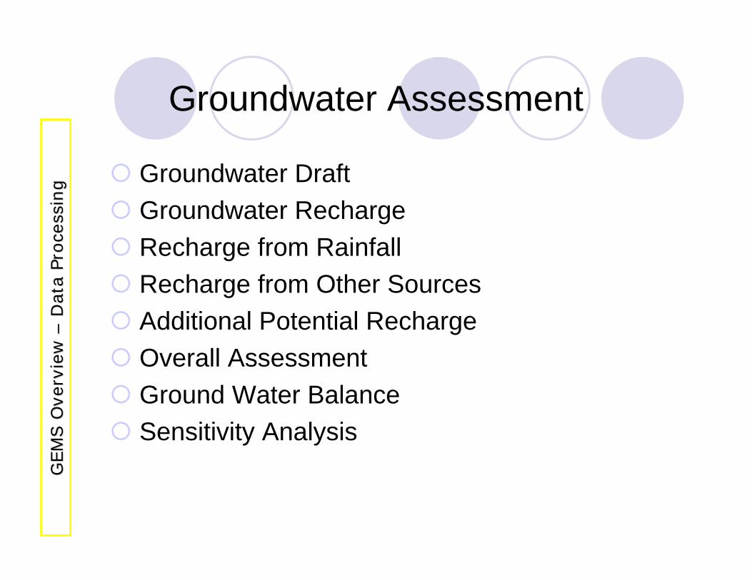
Groundwater DraftGroundwater RechargeRecharge from RainfallRecharge from Other SourcesAdditional Potential RechargeOverall AssessmentGround Water BalanceSensitivity Analysis
GEM
S O
verv
iew
G
EM
S O
verv
iew
––D
ata
Proce
ssin
gD
ata
Proce
ssin
g
Groundwater Assessment
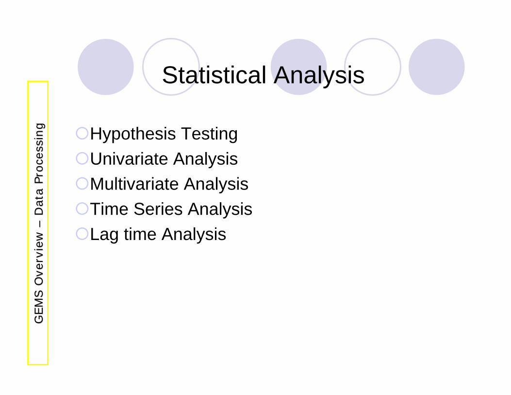
Hypothesis TestingUnivariate Analysis Multivariate AnalysisTime Series AnalysisLag time Analysis
GEM
S O
verv
iew
G
EM
S O
verv
iew
––D
ata
Proce
ssin
gD
ata
Proce
ssin
g
Statistical Analysis
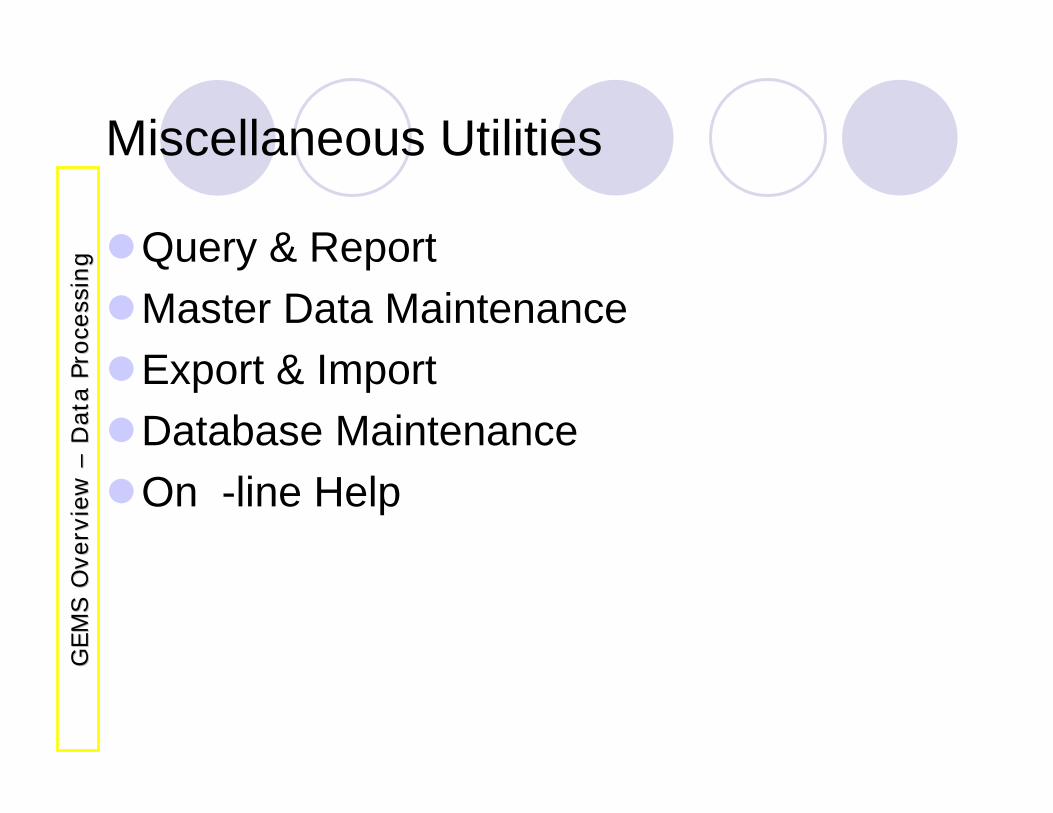
Miscellaneous Utilities
Query & Report Master Data MaintenanceExport & ImportDatabase MaintenanceOn -line Help
GEM
S O
verv
iew
G
EM
S O
verv
iew
––D
ata
Proce
ssin
gD
ata
Proce
ssin
g
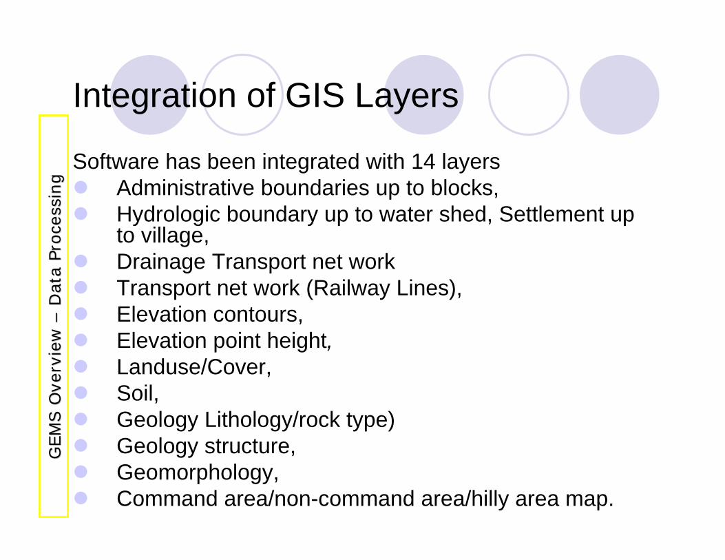
Integration of GIS Layers
Software has been integrated with 14 layersAdministrative boundaries up to blocks,Hydrologic boundary up to water shed, Settlement up to village,Drainage Transport net workTransport net work (Railway Lines),Elevation contours,Elevation point height,Landuse/Cover,Soil, Geology Lithology/rock type)Geology structure,Geomorphology,Command area/non-command area/hilly area map.
GEM
S O
verv
iew
G
EM
S O
verv
iew
––D
ata
Proce
ssin
gD
ata
Proce
ssin
g
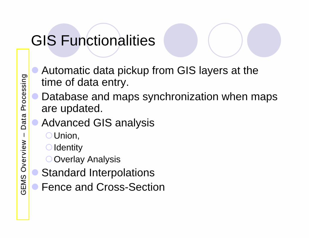
GIS Functionalities
Automatic data pickup from GIS layers at the time of data entry.Database and maps synchronization when maps are updated.Advanced GIS analysis
Union,IdentityOverlay Analysis
Standard InterpolationsFence and Cross-Section
GEM
S O
verv
iew
G
EM
S O
verv
iew
––D
ata
Proce
ssin
gD
ata
Proce
ssin
g
Thank You
Save WaterSave Life