Embed Size (px)
Citation preview
INSPIRE 2011 – Edinburgh – 1st July
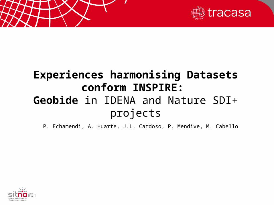
Experiences harmonising Datasets conform INSPIRE:
Geobide in IDENA and Nature SDI+ projects
P. Echamendi, A. Huarte, J.L. Cardoso, P. Mendive, M. Cabello
INSPIRE 2011 – Edinburgh – 1st July
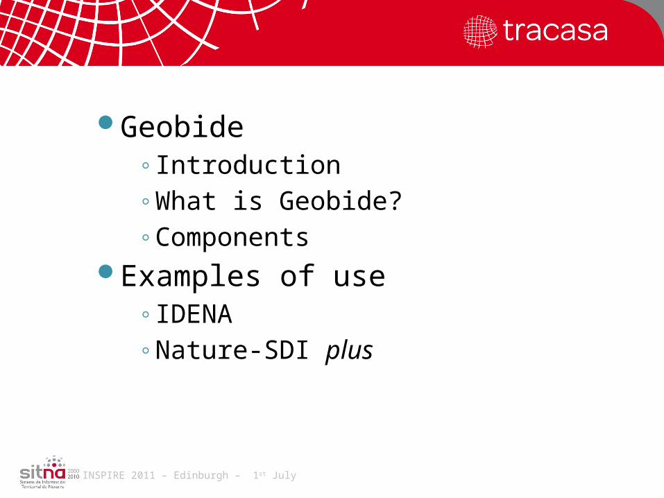
Geobide◦Introduction◦What is Geobide?◦Components
Examples of use◦IDENA◦Nature-SDI plus
INSPIRE 2011 – Edinburgh – 1st July
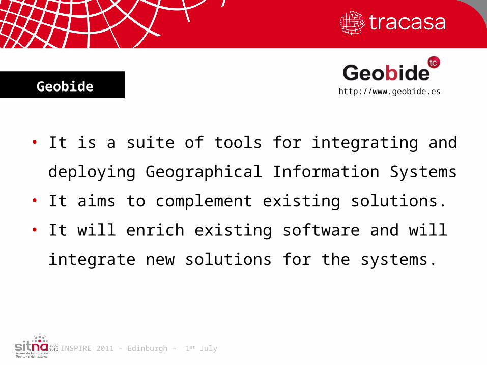
• It is a suite of tools for integrating and deploying
Geographical Information Systems
• It aims to complement existing solutions.
• It will enrich existing software and will integrate new
solutions for the systems.
Geobide http://www.geobide.es
INSPIRE 2011 – Edinburgh – 1st July
• Tool for modelling, production, debugging and dissemination of GI
• Fully embeddable in existing solutions
• An SDK that could be enlarged according to our needs
http://www.geobide.esScope

INSPIRE 2011 – Edinburgh – 1st July
• Powerful: It implement OGC Standards and multiple CAD/GIS formats.
• Independent: not linked to any GIS platform.• Light, < 30mb. The solution choose what is distributed. • Coherent. It offers a common environment completely
independent of how it is used.• Easy to distribute. 100% developed in .NET.
http://www.geobide.esCharacteristics
INSPIRE 2011 – Edinburgh – 1st July
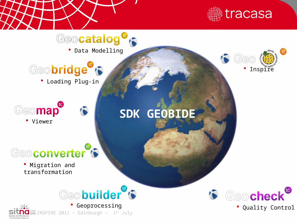
Líneas de trabajo Data Modelling
Loading Plug-in
Viewer
Migration and transformation
Geoprocessing
SDK GEOBIDE
Quality Control
Inspire
INSPIRE 2011 – Edinburgh – 1st July
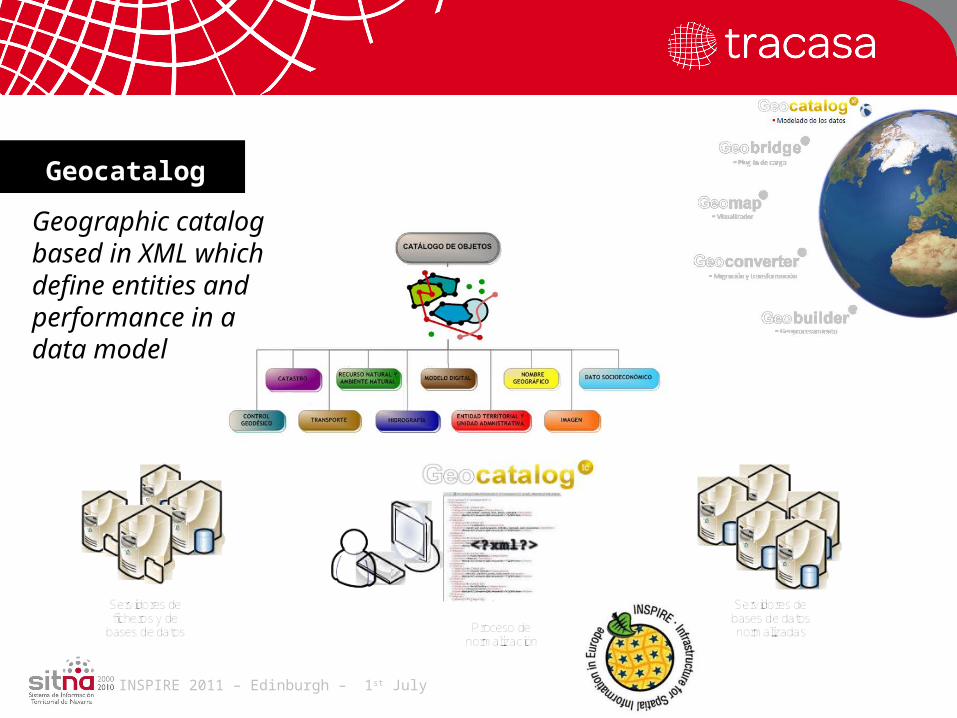
Geocatalog
Geographic catalog based in XML which define entities and performance in a data model

INSPIRE 2011 – Edinburgh – 1st July
Plug-in for accesing CAD/GIS data from Autocad, Microstation, ArcGIS...
Geobridge
INSPIRE 2011 – Edinburgh – 1st July
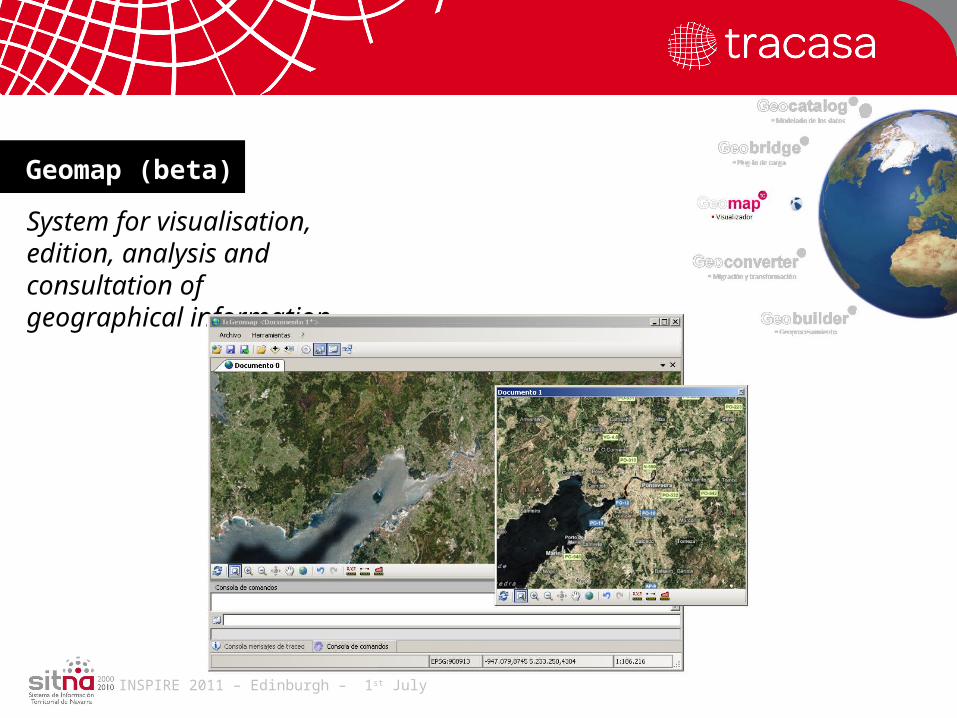
System for visualisation, edition, analysis and consultation of geographical information.
Geomap (beta)
INSPIRE 2011 – Edinburgh – 1st July
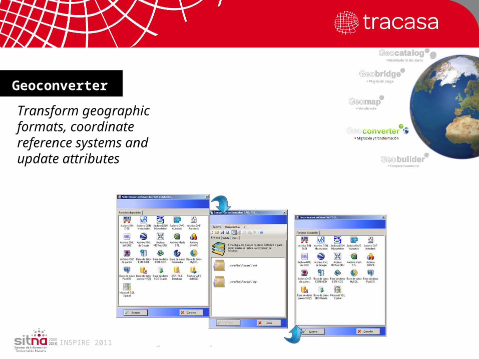
Transform geographic formats, coordinate reference systems and update attributes
Geoconverter
INSPIRE 2011 – Edinburgh – 1st July
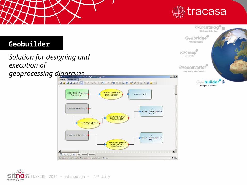
Solution for designing and execution of geoprocessing diagrams.
Geobuilder
INSPIRE 2011 – Edinburgh – 1st July
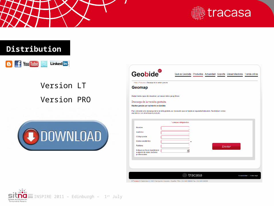
Version LT
Version PRO
Distribution
INSPIRE 2011 – Edinburgh – 1st July
Using Geobide: practical examples
INSPIRE 2011 – Edinburgh – 1st July
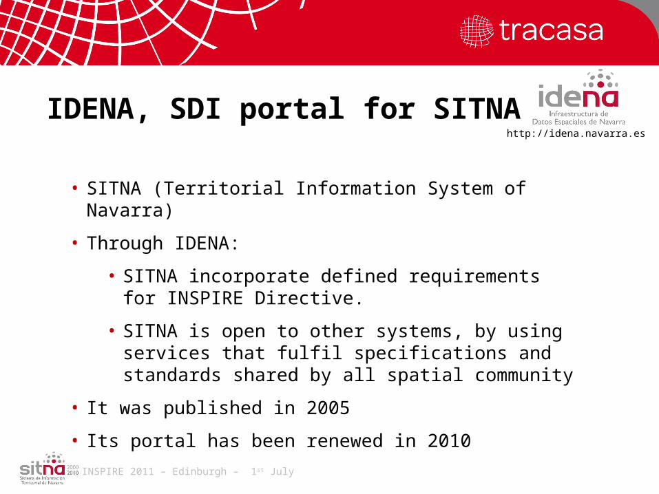
IDENA, SDI portal for SITNA
• SITNA (Territorial Information System of Navarra)
• Through IDENA:
• SITNA incorporate defined requirements for INSPIRE Directive.
• SITNA is open to other systems, by using services that fulfil specifications and standards shared by all spatial community
• It was published in 2005
• Its portal has been renewed in 2010
http://idena.navarra.es
INSPIRE 2011 – Edinburgh – 1st July
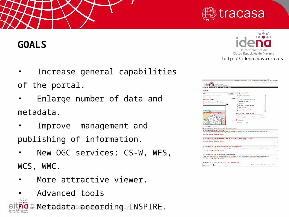
GOALS
• Increase general capabilities of the portal.
• Enlarge number of data and metadata.
• Improve management and publishing of
information.
• New OGC services: CS-W, WFS, WCS, WMC.
• More attractive viewer.
• Advanced tools
• Metadata according INSPIRE.
• Multilingual Portal
• …
http://idena.navarra.es
INSPIRE 2011 – Edinburgh – 1st July
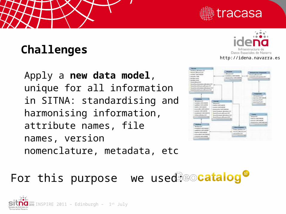
Challenges
Apply a new data model, unique for all information in SITNA: standardising and harmonising information, attribute names, file names, version nomenclature, metadata, etc
For this purpose we used:
http://idena.navarra.es
INSPIRE 2011 – Edinburgh – 1st July
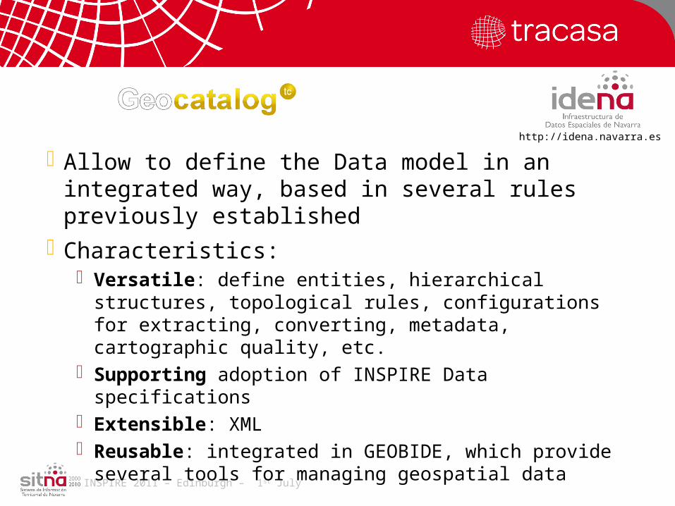
Allow to define the Data model in an integrated way, based in several rules previously established
http://idena.navarra.es
Characteristics: Versatile: define entities, hierarchical structures, topological
rules, configurations for extracting, converting, metadata, cartographic quality, etc.
Supporting adoption of INSPIRE Data specifications Extensible: XML Reusable: integrated in GEOBIDE, which provide several
tools for managing geospatial data

INSPIRE 2011 – Edinburgh – 1st July
CONCEPTUAL SCHEMA
Files and DB servers
Standardised DB servers
GIS application servers
Standardisation process
IDENA users
http://idena.navarra.es

INSPIRE 2011 – Edinburgh – 1st July
Nature-SDI plus: eContentplus proposal From October 2008 to July 2011 Partners: 30 (18 countries)
Themes: Protected Sites (Annex I) Biogeographical regions (Annex III) Habitats and biotopes (Annex III) Species distribution (Annex III)
Goals: Establish a Good Practises Nature Conservation Network and
achieve a set of harmonised data and metadata to be more accessible and exploitable.
http://www.nature-sdi.eu/
INSPIRE 2011 – Edinburgh – 1st July
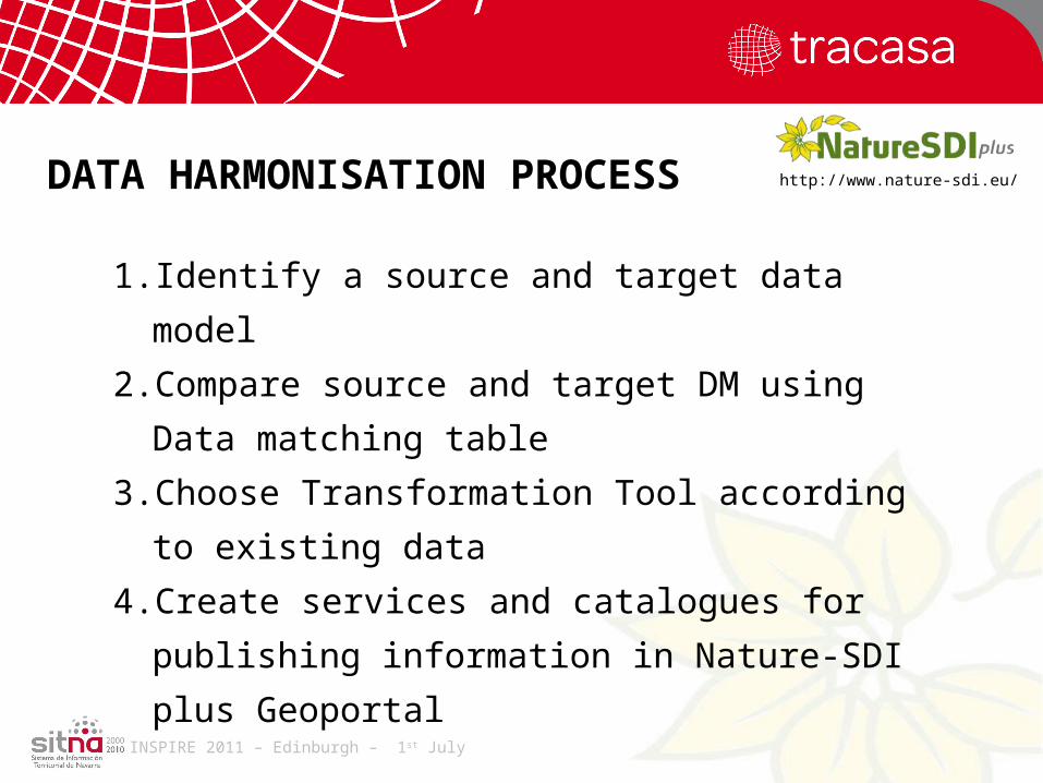
1. Identify a source and target data model
2. Compare source and target DM using Data
matching table
3. Choose Transformation Tool according to existing
data
4. Create services and catalogues for publishing
information in Nature-SDI plus Geoportal
DATA HARMONISATION PROCESS http://www.nature-sdi.eu/
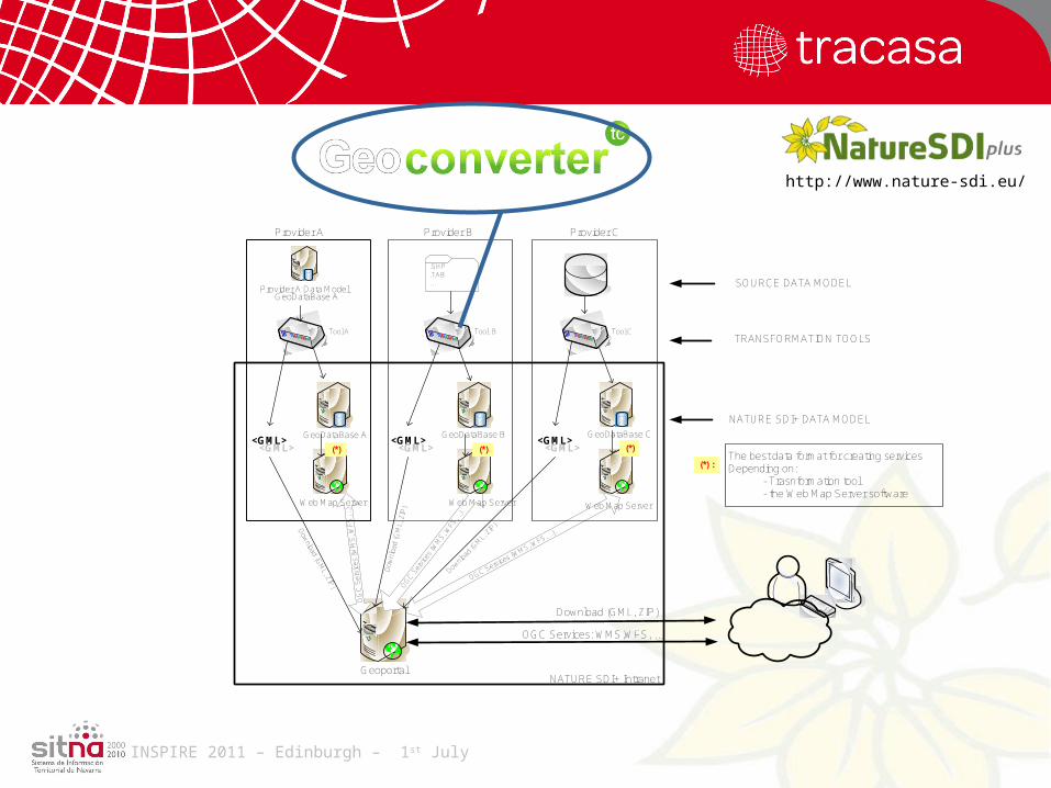
INSPIRE 2011 – Edinburgh – 1st July
Provider A Data Model
Geoportal
.SHP
.TAB
...
Provider A Provider B Provider C
Tool CTool A Tool B
OGC Services: WMS,WFS, ...
GeoDataBase CGeoDataBase B
GeoDataBase A
<GML><GML>
OG
C S
ervi
ces
(WM
S, W
FS
, ..)
.
OG
C S
ervi
ces
(WM
S, W
FS, .
.).
OGC Services (WMS, W
FS, ..).
SOURCE DATA MODEL
TRANSFORMATION TOOLS
NATURE SDI+ DATA MODEL
NATURE SDI+ Intranet
Dow
nload (GM
L, ZIP)
Dow
nloa
d (G
ML,
ZIP
)
Download (GML, ZIP)
GeoDataBase A
<GML><GML>
<GML><GML>
Web Map Server Web Map Server Web Map Server
Downlo
ad (G
ML,
ZIP
)
(*)(*)(*)
(*) : The best data format for creating services Depending on:
- Trasnformation tool - the Web Map Server software
http://www.nature-sdi.eu/

INSPIRE 2011 – Edinburgh – 1st July
Module 1
Harmonisation
• Desktop application
• Multilingual (Spanish, English…)
• Version PRO
• Updated via WEB
DGN, DWG, DXF,
PostGIS, MySQL,
SHAPE, SDE, FGDB,
SQL, Oracle…
Harmonised Data
Toolkit .net
1. Transform formats2. Update attributes3. Change CRS4. Identify XSD schemes5. Export GML 3.2.1
http://www.nature-sdi.eu/
INSPIRE 2011 – Edinburgh – 1st July
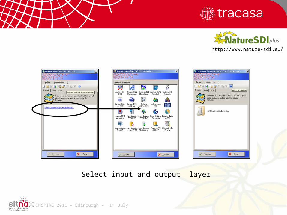
Select input and output layer
http://www.nature-sdi.eu/

INSPIRE 2011 – Edinburgh – 1st July
Select Target Data Model (Nature-SDI plus)
http://www.nature-sdi.eu/

INSPIRE 2011 – Edinburgh – 1st July
•Harmonising data into a common data model may offer great benefits to data providers and users of generic geospatial information
•Harmonisation may be more or less complex depending on the existing data model and also the team specialisation, but now is more needed than never.
•Organizations require friendly and simple applications, easy-to-use, for the task of harmonise, standardize, integrate and maximise reuse of data.
•Experience acquired in this two projects has demonstrated that using Geobide performing this tasks is very easy, not requiring great GIS expertise and being feasible for small organisations and for large amount of data.
Conclusions

INSPIRE 2011 – Edinburgh – 1st July
Thank you