Embed Size (px)
Citation preview

Introduction to GPS/GIS

Collecting location data
• Coordinates that denote the location of an infestation– Using a hand-held GPS unit– Online method (more on this later)
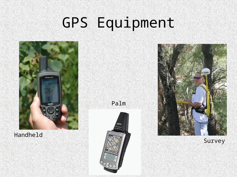
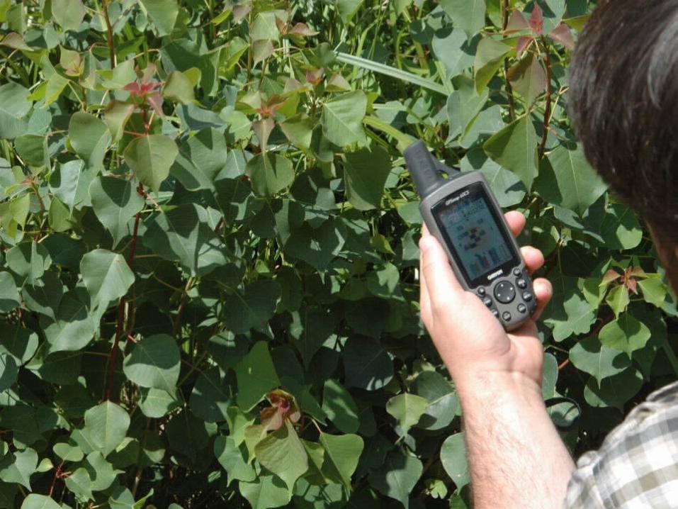
GPS Equipment
HandheldSurvey
Palm

Coordinate Systems
• Coordinate settings– UTM – x,y, and zone– Lat/Long – x and y– Datum
(NAD27 and NAD83)

UTM Coordinates
• Universal Transverse Mercator– Originally used by US Army on large scale
maps– Grid system– Divides the earth into 60 zones (each 6
degrees of longitude wide)– X,Y system in meters east of zone line and
north of equator (in Northern Hemisphere)

UTM Coordinates
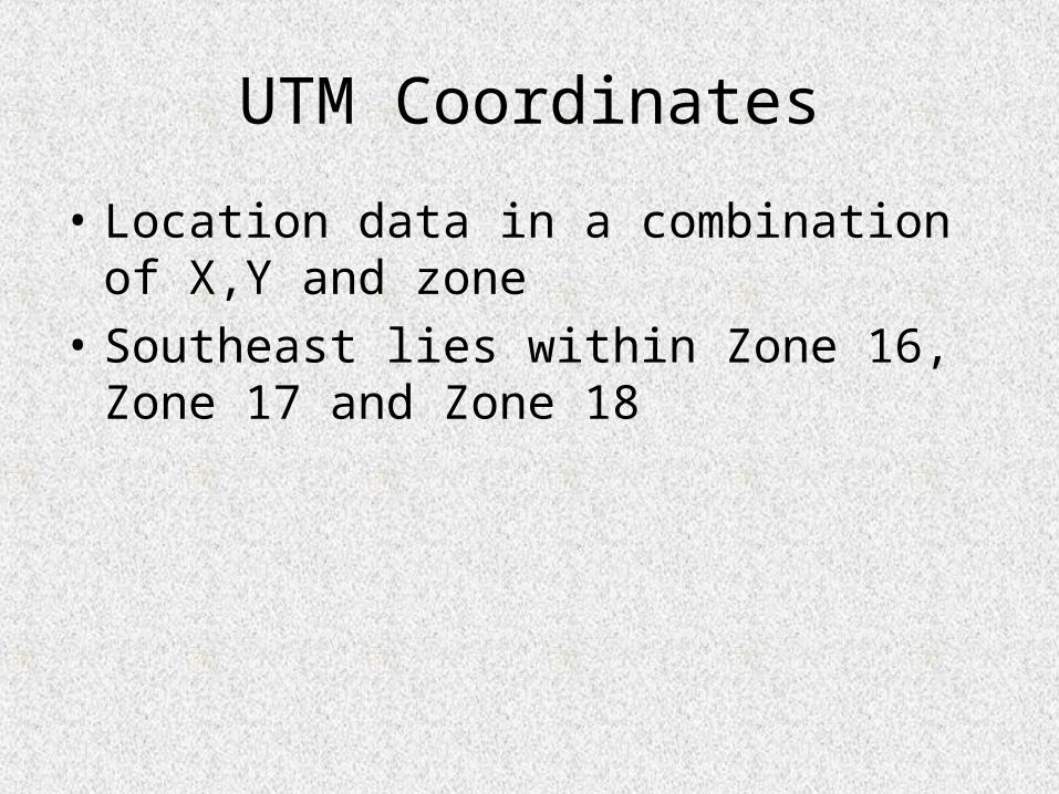
• Location data in a combination of X,Y and zone
• Southeast lies within Zone 16, Zone 17 and Zone 18

Lat/Long Coordinates• Based on degrees of a circle (360º total)• Latitude expressed as degrees north of equator (Southern
Hemisphere is denoted by a negative) • Longitude expressed as degrees east of the Prime Meridian (west is
denoted by a negative with the maximum value of 180º and minimum value of -180º)
Lines of LatitudeLines of Longitude
“meridians”

- +
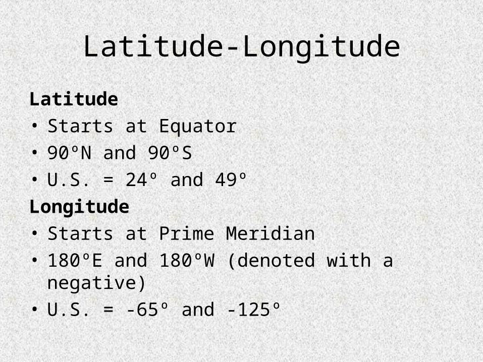
Latitude-Longitude
Latitude• Starts at Equator• 90ºN and 90ºS• U.S. = 24º and 49º
Longitude• Starts at Prime Meridian• 180ºE and 180ºW (denoted with a negative)• U.S. = -65º and -125º
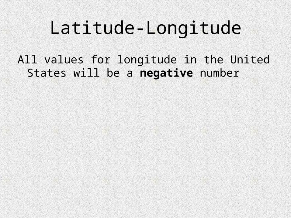
Latitude-Longitude
All values for longitude in the United States will be a negative number

33.75333, -86.59917

33.75333, 86.59917

Latitude-Longitude data
• DD/MM/SS (Degrees,minutes,seconds)
• DD/MM.MMM (Degrees, decimal minutes)
• DD.DDDDD (Decimal degrees)
• Same coordinate system, different ways of expressing it
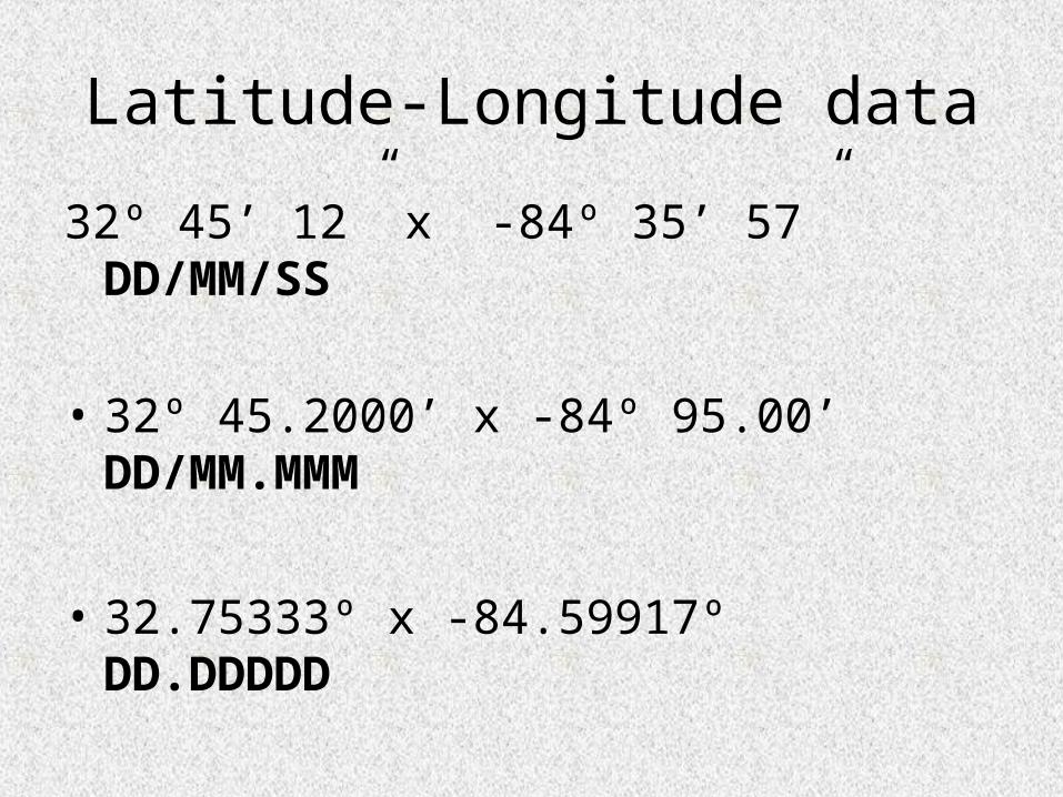
Latitude-Longitude data
32º 45’ 12” x -84º 35’ 57” DD/MM/SS
• 32º 45.2000’ x -84º 95.00’ DD/MM.MMM
• 32.75333º x -84.59917º DD.DDDDD


Datum
• Set of surveyed points used as a reference for making maps– Most USGS topographic maps used the
survey points from 1927 (NAD27)– Those points were re-surveyed and corrected
in 1983 (NAD83)– WGS84 is another datum often used,
essentially the same as NAD83

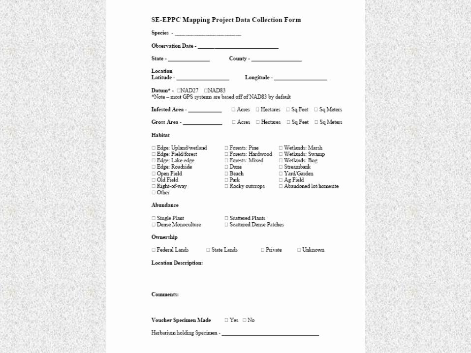
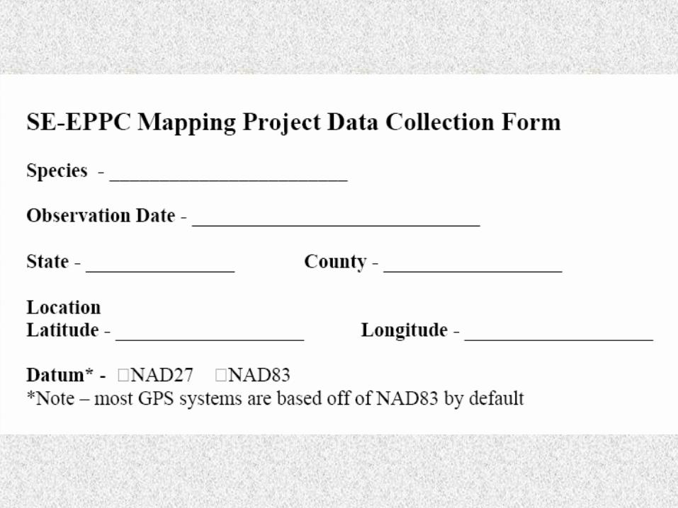
Collecting location of an infestation
• We prefer that you use Latitude/Longitude expressed in Decimal degrees
• With NAD83 (or WGS84) datum
• Most GPS units have the ability to set coordinate system

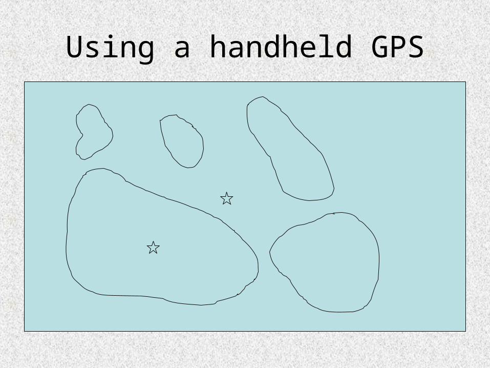
Using a handheld GPS
• Single point to denote entire infestation
• Try to collect that point in the center of the infestation
Using a handheld GPS

Recording point data
• Stand at, or as near as you can to, the center of the infestation
• Make sure the GPS is set to show lat/long data in decimal degrees (DD.DDD)
• Make sure datum is set to 1983 (NAD83)
• Often, the longer the GPS is stationary, the more accurate the point is

Recording point data
• Either write-down the coordinates (record at least 5 decimal places) or create a waypoint (so that you can write it down later)
• Title the point something that can associate it with the area or invasive species (“Doug’s farm” or “Garlic Mustard #1”)