Embed Size (px)
Citation preview

HabitatHabitatHabitatHabitatHabitatHabitatHabitatHabitatHabitatHabitatHabitatHabitatHabitatHabitatHabitatHabitatHabitatHabitatHabitatHabitat
Lake Erie Binational Map ProjectLake Erie Binational Map Project

AN INTEGRATED HABITAT CLASSIFICATIONAN INTEGRATED HABITAT CLASSIFICATIONAND MAP OF THE LAKE ERIE BASINAND MAP OF THE LAKE ERIE BASIN
((Lake Erie Binational Map Project)Lake Erie Binational Map Project)
Lucinda B. JohnsonLucinda B. JohnsonJan J.H. CiborowskiJan J.H. CiborowskiScudder D. MackeyScudder D. Mackey
Ric LawsonRic LawsonNicholas E. MandrakNicholas E. Mandrak
Daniel T. ButtonDaniel T. Button
Funded by the U.S. EPA Great Lakes National Program OfficeFunded by the U.S. EPA Great Lakes National Program Office

Objective and PurposeObjective and Purpose
The ultimate objective of this project is to The ultimate objective of this project is to develop an integrated habitat map for the develop an integrated habitat map for the Lake Erie basin. Lake Erie basin.
The integrated map will be used to track improvements in The integrated map will be used to track improvements in habitat quantity and quality resulting from preservation, habitat quantity and quality resulting from preservation, conservation, and restoration efforts and to guard against furthconservation, and restoration efforts and to guard against further er loss or degradation from landloss or degradation from land--use alterations and/or other longuse alterations and/or other long--term stressors. term stressors.

Binational Map ProjectBinational Map Project
•• This project will develop an integrated habitat This project will develop an integrated habitat map for the Lake Erie basin by developing map for the Lake Erie basin by developing and implementing a unified, consensusand implementing a unified, consensus--based habitat classification system that links based habitat classification system that links terrestrial and aquatic systems.terrestrial and aquatic systems.
–– Methodology? Convene Habitat Working Group Methodology? Convene Habitat Working Group –– Develop classification protocols and use existing geospatial Develop classification protocols and use existing geospatial
data to develop habitat coverages in two pilot watersheds data to develop habitat coverages in two pilot watersheds ––Maumee River, OH and the Grand River, ONMaumee River, OH and the Grand River, ON
–– Develop strategy to revise and expand classification system Develop strategy to revise and expand classification system to the entire Basinto the entire Basin

Project ManagementNRRI
Habitat Working GroupExpert’s Workshop
Habitat ClassificationSystem(s)
University of Windsor
Data Exchange WebsiteGreat Lakes Commission
Data Compilation and Geo-spatial CoveragesNRRI GIS Laboratory
Final Report/PublicationNRRI
University of Windsor
Habitat Maps and Coverages
Project DesignProject Design

WorkPlanWorkPlan
•• Phase 1. Habitat Working GroupPhase 1. Habitat Working Group–– The investigators will organize and convene an The investigators will organize and convene an
Experts’ Workshop to form a Experts’ Workshop to form a Habitat Working Habitat Working GroupGroup to provide guidance and technical expertise to provide guidance and technical expertise to develop unified classification scheme to develop unified classification scheme –– based based on preon pre--existing work and building on prior LEMN existing work and building on prior LEMN Habitat workshops.Habitat workshops.
–– Develop methods to Develop methods to harmonizeharmonize and and crosswalkcrosswalkgeospatial data from different jurisdictions to geospatial data from different jurisdictions to produce a single, produce a single, unified classification schemeunified classification scheme for for five major environmental zones that can be five major environmental zones that can be applied across the entire Lake Erie basin.applied across the entire Lake Erie basin.

Five Environmental ZonesFive Environmental Zones
•• TerrestrialTerrestrial (forests, woodlots, grasslands, (forests, woodlots, grasslands, palustrine wetlands, and abandoned palustrine wetlands, and abandoned agricultural fields); agricultural fields);
•• Inland aquatic habitatsInland aquatic habitats (streams, palustrine (streams, palustrine wetlands, and inland lakes); wetlands, and inland lakes);
•• Coastal wetlandsCoastal wetlands; ; •• Coastal marginCoastal margin (embayments and (embayments and
nearshore); and nearshore); and •• Open waterOpen water (water column and the substrate (water column and the substrate
beneath).beneath).

WorkPlanWorkPlan
•• Phase 2. Classify and Map Lake Erie Phase 2. Classify and Map Lake Erie Habitat Habitat –– Identify, acquire, and assemble map components Identify, acquire, and assemble map components
as guided by the Habitat Working Group.as guided by the Habitat Working Group.–– A draft map will be build from multiple layers within A draft map will be build from multiple layers within
each of the five environmental zones. Pilot study each of the five environmental zones. Pilot study areas are the areas are the Maumee watershedMaumee watershed and adjacent and adjacent coastalcoastal--margin and openmargin and open--water zones in the U.S., water zones in the U.S., and the and the Grand River watershedGrand River watershed and adjoining and adjoining coastalcoastal--margin and openmargin and open--water zones in Ontario. water zones in Ontario.

Maumee River WatershedMaumee River Watershed
Grand River WatershedGrand River Watershed
Lake Erie
Lake Erie
WorkPlanWorkPlan
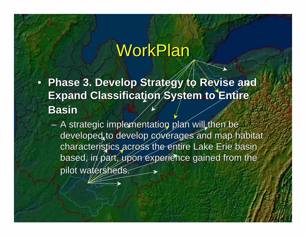
•• Phase 3. Develop Strategy to Revise and Phase 3. Develop Strategy to Revise and Expand Classification System to Entire Expand Classification System to Entire BasinBasin–– A strategic implementation plan will then be A strategic implementation plan will then be
developed to develop coverages and map habitat developed to develop coverages and map habitat characteristics across the entire Lake Erie basin characteristics across the entire Lake Erie basin based, in part, upon experience gained from the based, in part, upon experience gained from the pilot watersheds.pilot watersheds.

WorkPlanWorkPlan
•• Phase 4. Develop a Data Exchange Web Phase 4. Develop a Data Exchange Web SiteSite–– Create a website where classification protocols, Create a website where classification protocols,
maps, and metadata will be made accessible to maps, and metadata will be made accessible to the scientific community; resource management, the scientific community; resource management, conservation, and planning agencies; and the conservation, and planning agencies; and the general public.general public.

WorkPlanWorkPlan
•• Phase 5. (Final phase) Information Phase 5. (Final phase) Information Sharing and DisseminationSharing and Dissemination–– A final project report will be drafted that A final project report will be drafted that
communicates the status of the mapped natural communicates the status of the mapped natural and semiand semi--natural habitats in the Lake Erie basin.natural habitats in the Lake Erie basin.
–– The Habitat Work Group members and The Habitat Work Group members and investigators will also develop and disseminate a investigators will also develop and disseminate a summary fact sheet and present project results summary fact sheet and present project results and classification protocols to resource managers and classification protocols to resource managers and organizations focused on habitat protection and organizations focused on habitat protection and restoration in the Lake Erie basin.and restoration in the Lake Erie basin.