Embed Size (px)
Citation preview

Larger Councils Conference
How to make effective use of thePublic Sector Mapping Agreement
Richard Mortara
Public Sector Contracts Manager
21 March 2013

How to make effective use of thePublic Sector Mapping Agreement
• An introduction to the Public Sector Mapping Agreement (PSMA)
• The PSMA products
• OS OpenData™
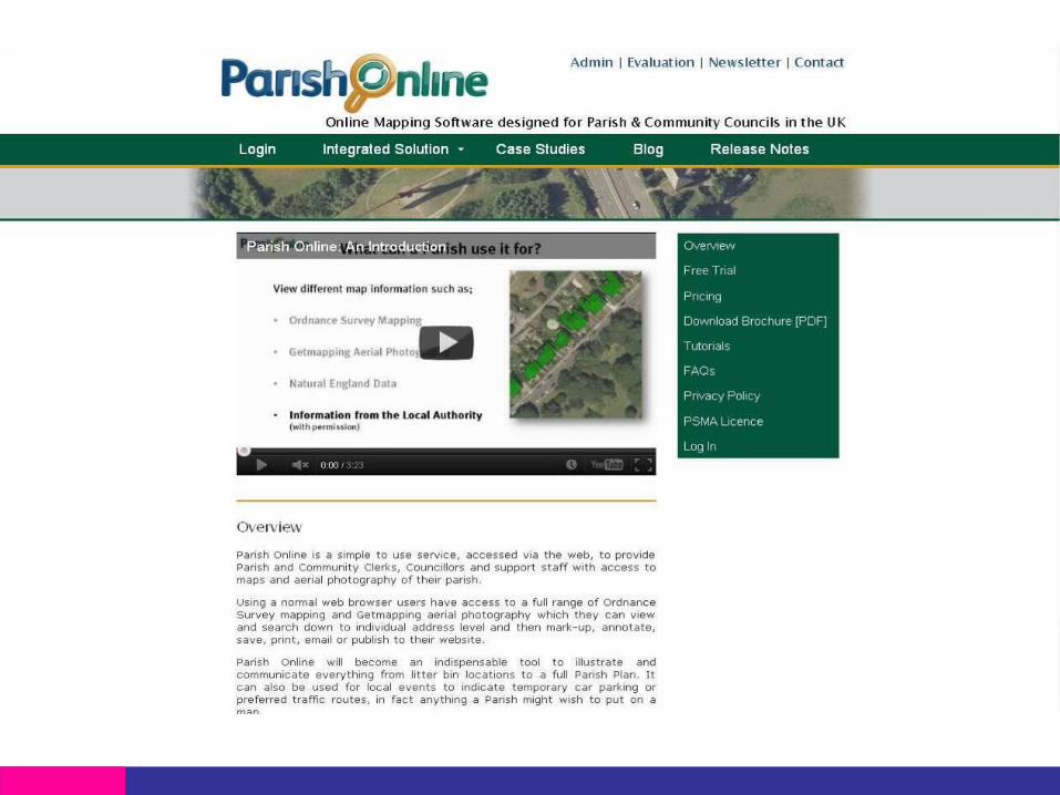
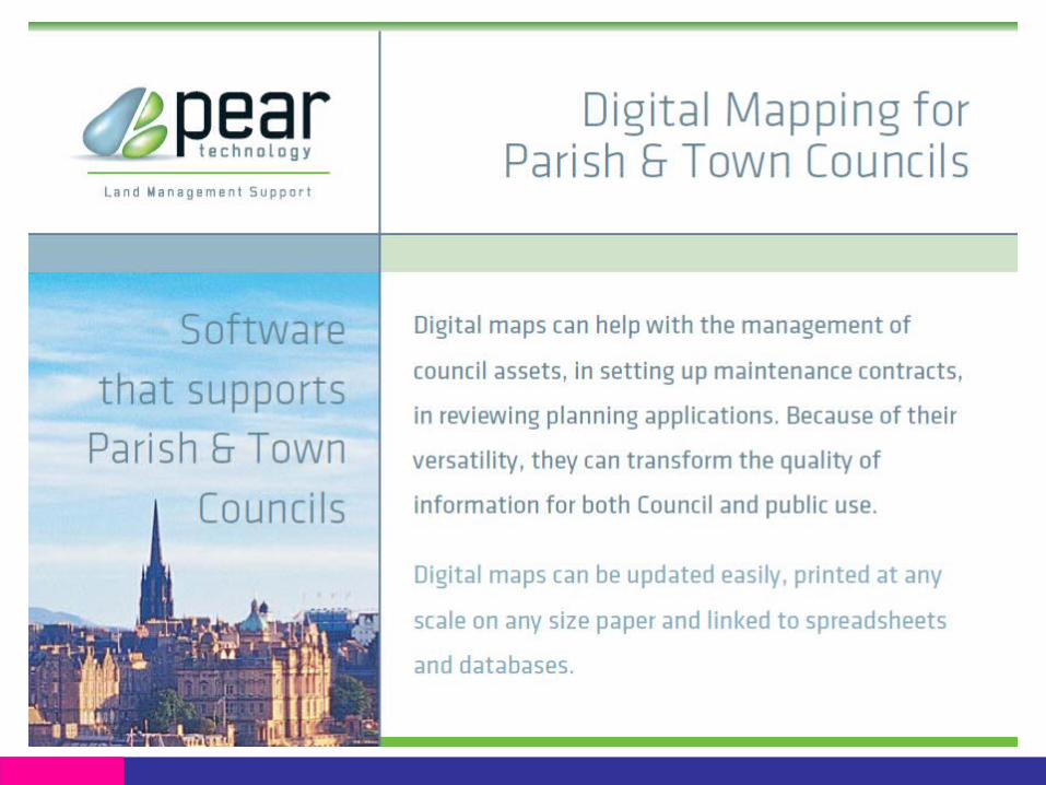
• Software solutions specifically for Parish/Local Councils
• Uses of mapping and data
• Case Studies
• Questions

PSMAPublic Sector Mapping Agreement
Sign UpSupportData SharingSome Key Licence TermsPSMA User Group

What is the Public Sector Mapping Agreement?
• It is a Crown to Crown agreement negotiated between Ordnance Survey and DCLG (now BIS)
• Commenced April 2011
• Open to everyone within the public sector in England and Wales
• Is a ten year agreement
• Includes access to the majority of Ordnance Survey digital data products (NOT paper mapping products!)

PSMA Sign Up
• All members of former collective agreements now signed up with one or two exceptions in Central Government
• 2,875 PSMA Members fully signed as at 31 January 2013
• Includes 1,884 Parish/Town/Community Councils, Tatenhill Parish Council (Cheshire) being the 2000th member to sign up
• Includes 292 NHS/Health Members
• Visit PSMA website for full list of members

What can members do with the data?
• Core business
Provides greater flexibility for public sector business
• Contractor licence
Provides onward supply to contracted third parties
• End User Licence
Provides onward supply to anyone for public sector business
• Joint venture
Allows cross border activity joint initiatives with members of the One
Scotland Mapping Agreement (OSMA)

…in other words
Anything in the delivery of Government policy and services
As long as
• it doesn’t compete with us or our partners.
• it isn’t a commercial service
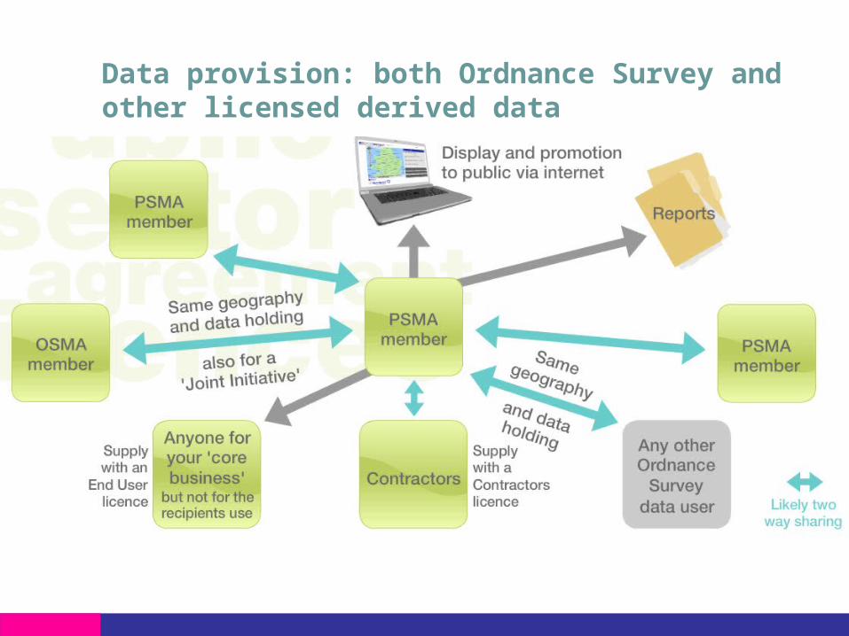
Data provision: both Ordnance Survey and other licensed derived data

Some PSMA Requirements
WatermarkingThe requirement to watermark images applies publishing in electronic form, to all products where the source scale is 1:10 000 scale and larger.
Copyright Statements© Crown copyright and database rights [year of supply] Ordnance Survey
[licence number]
Business InformationMapping displayed must be overlaid with your own business information
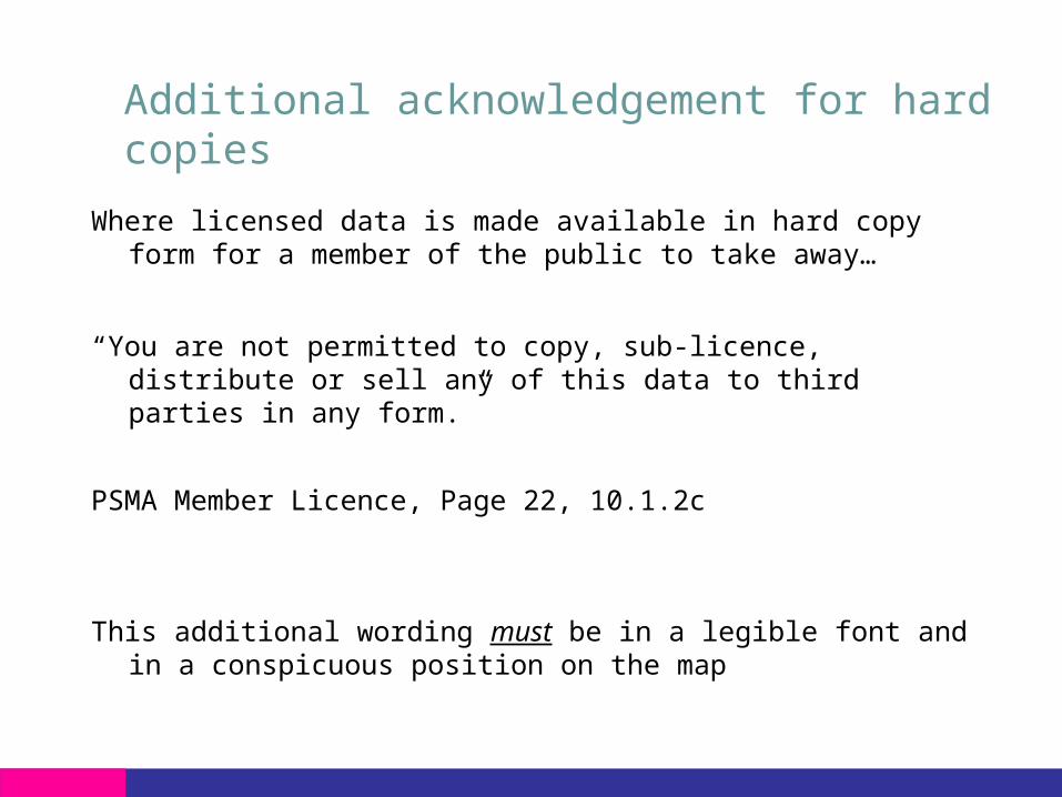
Additional acknowledgement for hard copies
Where licensed data is made available in hard copy form for a member of the public to take away…
“You are not permitted to copy, sub-licence, distribute or sell any of this data to third parties in any form.”
PSMA Member Licence, Page 22, 10.1.2c
This additional wording must be in a legible font and in a conspicuous position on the map
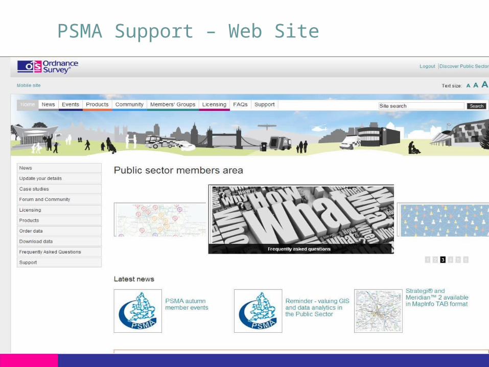
PSMA Support – Web Site

PSMA Support – News and events page
• Includes latest articles
• ‘hot off the press’ news alerted to members
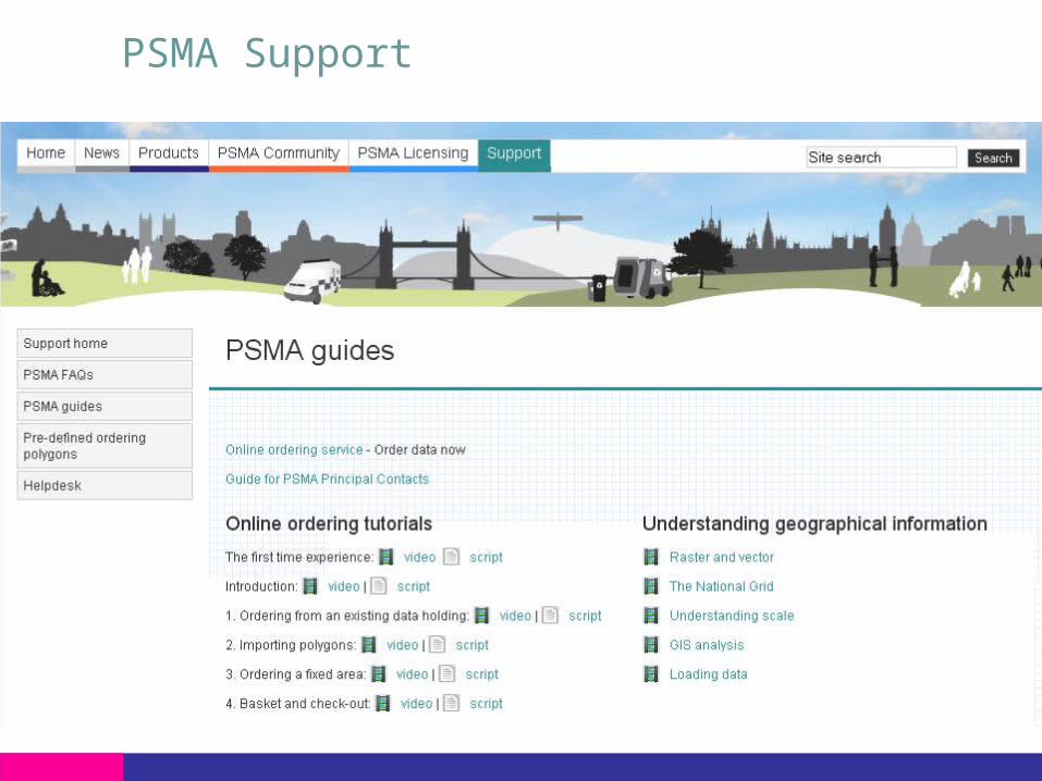
PSMA Support
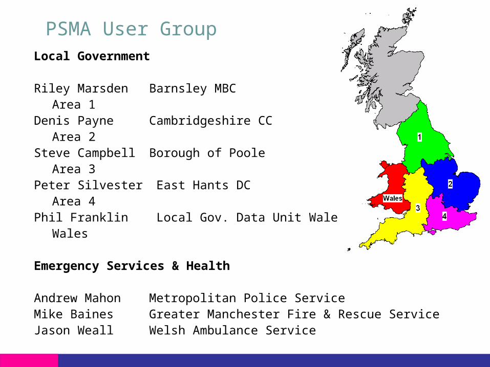
PSMA User GroupLocal Government
Riley Marsden Barnsley MBCArea 1
Denis Payne Cambridgeshire CCArea 2
Steve Campbell Borough of PooleArea 3
Peter Silvester East Hants DCArea 4
Phil Franklin Local Gov. Data Unit WalesWales
Emergency Services & Health
Andrew Mahon Metropolitan Police Service Mike Baines Greater Manchester Fire & Rescue ServiceJason Weall Welsh Ambulance Service

PSMA Products
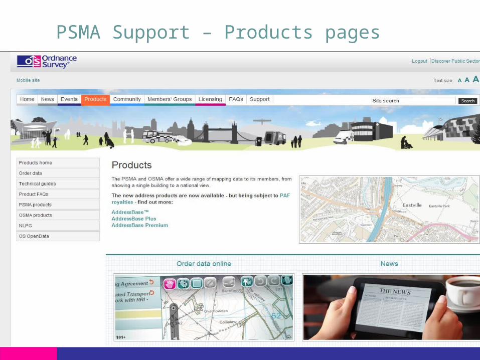
PSMA Support – Products pages
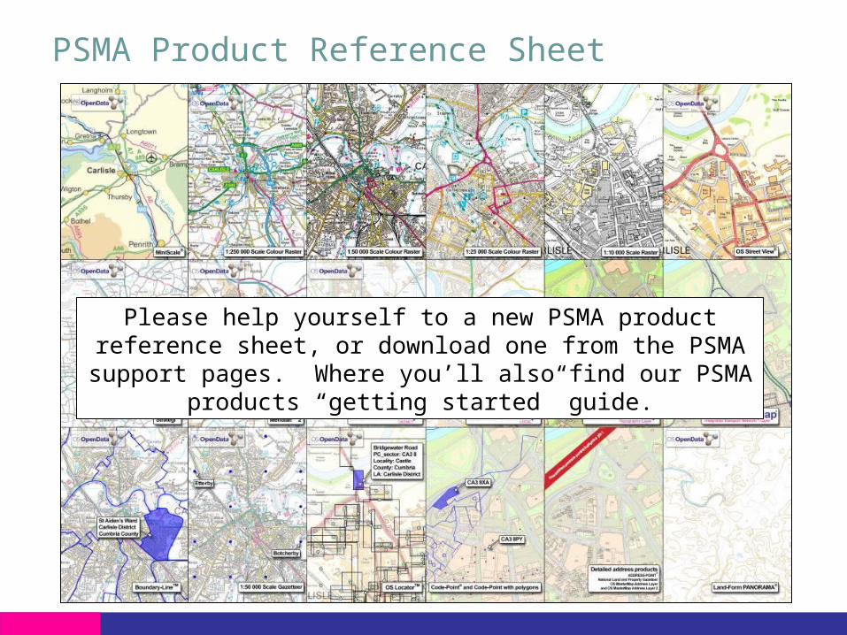
PSMA Product Reference Sheet
Please help yourself to a new PSMA product reference sheet, or download one from the PSMA support pages. Where you’ll
also find our PSMA products “getting started” guide.

OS OpenData™
OS OpenData
• Introduced 1 April 2011
• Can be ordered through the PSMA on-line service
• No restrictions on reuse
• Can be passed to anyone
• Can be commercially exploited
• No limitations on publishing
• Still requires a Copyright acknowledgment
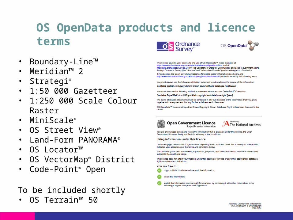
OS OpenData products and licence terms
• Boundary-Line™• Meridian™ 2• Strategi®
• 1:50 000 Gazetteer • 1:250 000 Scale Colour Raster• MiniScale®
• OS Street View®
• Land-Form PANORAMA® • OS Locator™• OS VectorMap® District • Code-Point® Open
To be included shortly• OS Terrain™ 50

Software solutions specifically for Local/Parish Councils
Uses of mapping and data
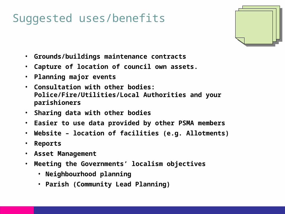
Suggested uses/benefits
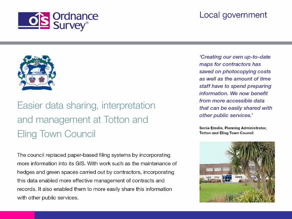
• Grounds/buildings maintenance contracts
• Capture of location of council own assets.
• Planning major events
• Consultation with other bodies: Police/Fire/Utilities/Local Authorities and your parishioners
• Sharing data with other bodies
• Easier to use data provided by other PSMA members
• Website – location of facilities (e.g. Allotments)
• Reports
• Asset Management
• Meeting the Governments’ localism objectives
• Neighbourhood planning
• Parish (Community Lead Planning)
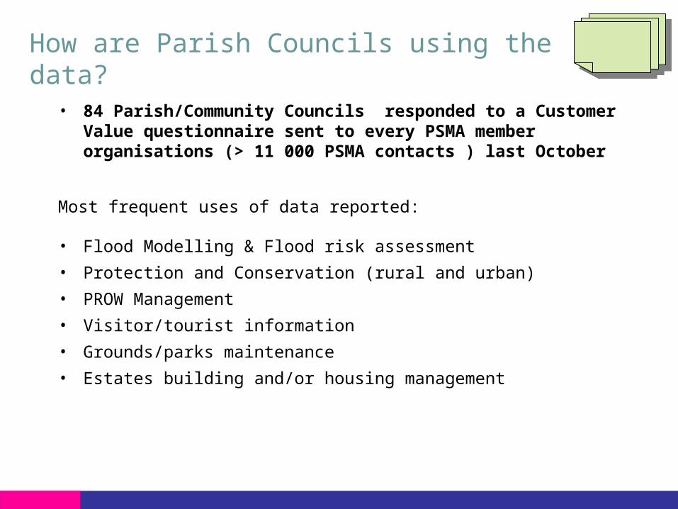
How are Parish Councils using the data?
• 84 Parish/Community Councils responded to a Customer Value questionnaire sent to every PSMA member organisations (> 11 000 PSMA contacts ) last October
Most frequent uses of data reported:
• Flood Modelling & Flood risk assessment
• Protection and Conservation (rural and urban)
• PROW Management
• Visitor/tourist information
• Grounds/parks maintenance
• Estates building and/or housing management

Mark RecchiaBanbury Town Council

Local/Parish Councils Case Studies

Public Sector case studies locator
Sort by Sector
Sort by theme
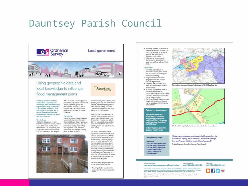
Dauntsey Parish Council
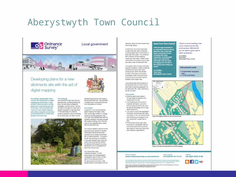
Aberystwyth Town Council
Insert protective marking - see QSP 032
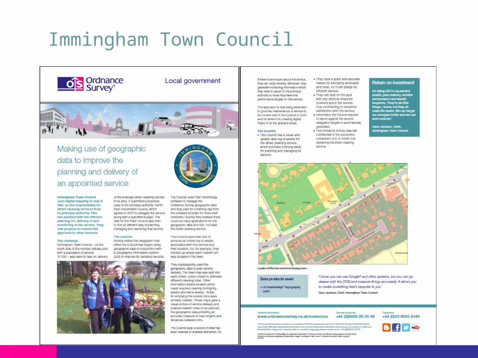
Immingham Town Council
Insert protective marking - see QSP 032
Insert protective marking - see QSP 032

Insert protective marking - see QSP 032

Questions?