Embed Size (px)
Citation preview

LiDAR AT PennDOTMichael Loose, C.P.
BOPD – Photogrammetry and Surveys
2

3
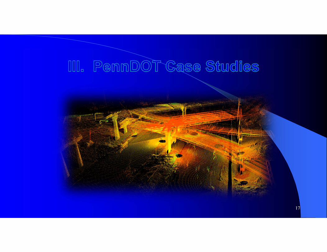
I. What is LiDAR?II. Benefits of LiDARIII. PennDOT Case StudiesIV. Best Practices/Lessons LearnedV. Questions
4
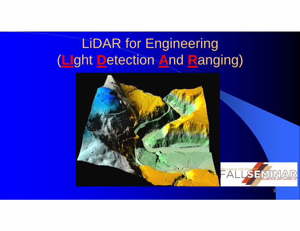
LiDAR for Engineering(LIght Detection And Ranging)
5
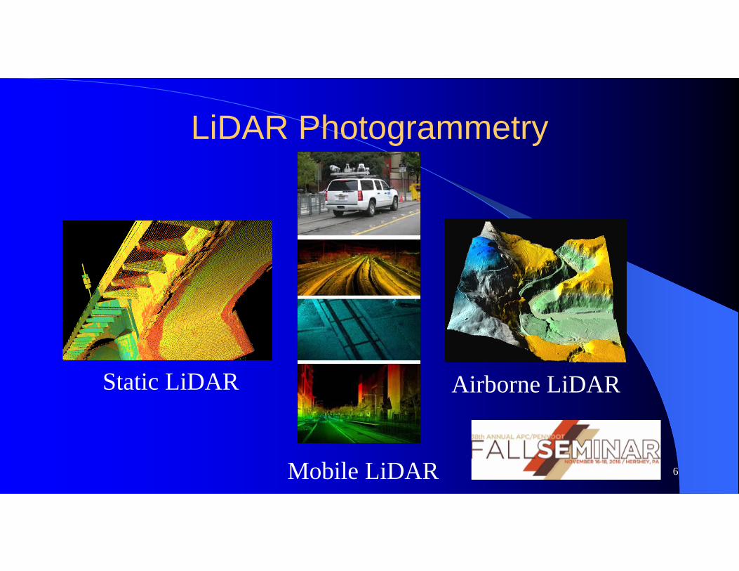
LiDAR Photogrammetry
Airborne LiDAR
Mobile LiDAR
Static LiDAR
6
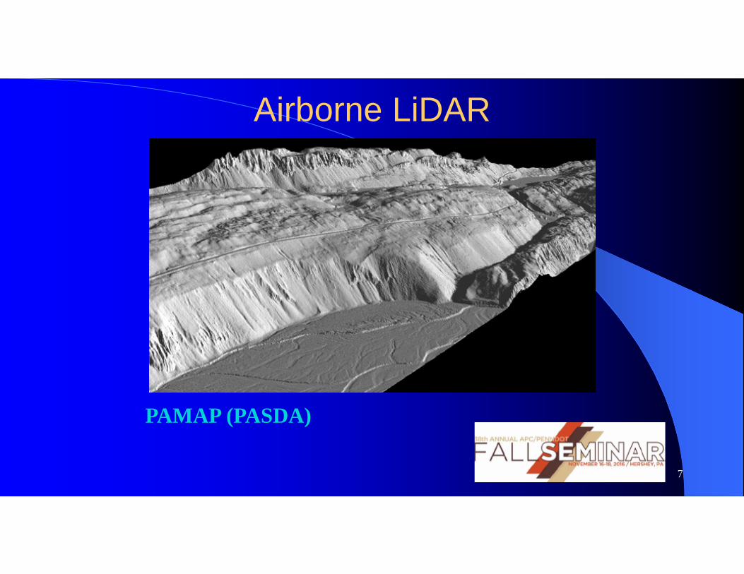
Airborne LiDAR
PAMAP (PASDA)
7
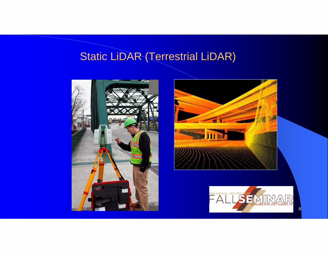
Static LiDAR (Terrestrial LiDAR)
8

Static LiDAR AT PennDOT
• PennDOT was the first DOT to adopt the new technology in 1999
• First big project was completed in 2000
• Used primarily for smaller projects where high levels of detail are required, or safe capture of topos too dangerous for traditional survey
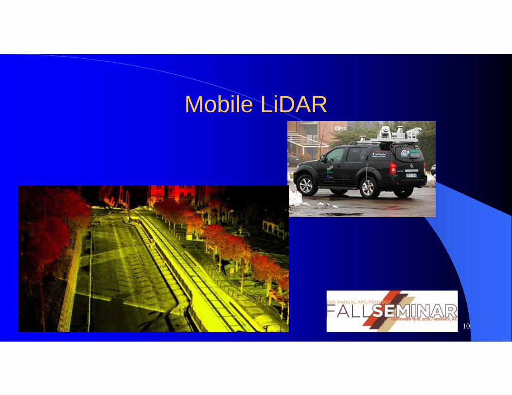
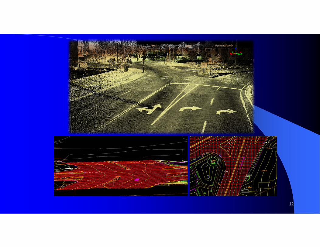
Mobile LiDAR
10
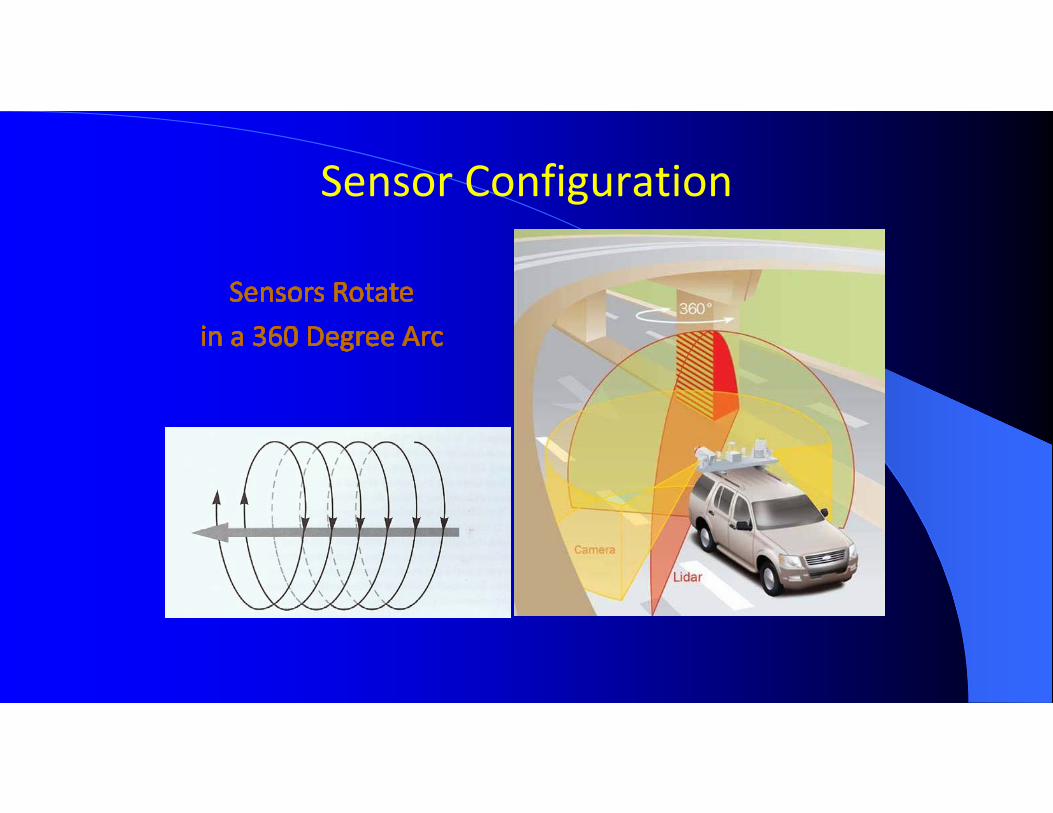
Sensor Configuration
12
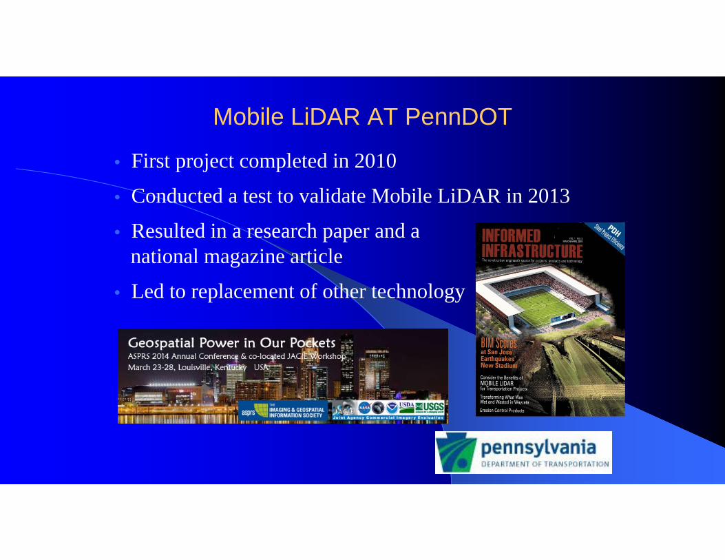
Mobile LiDAR AT PennDOT
• First project completed in 2010
• Conducted a test to validate Mobile LiDAR in 2013
• Resulted in a research paper and a national magazine article
• Led to replacement of other technology

14
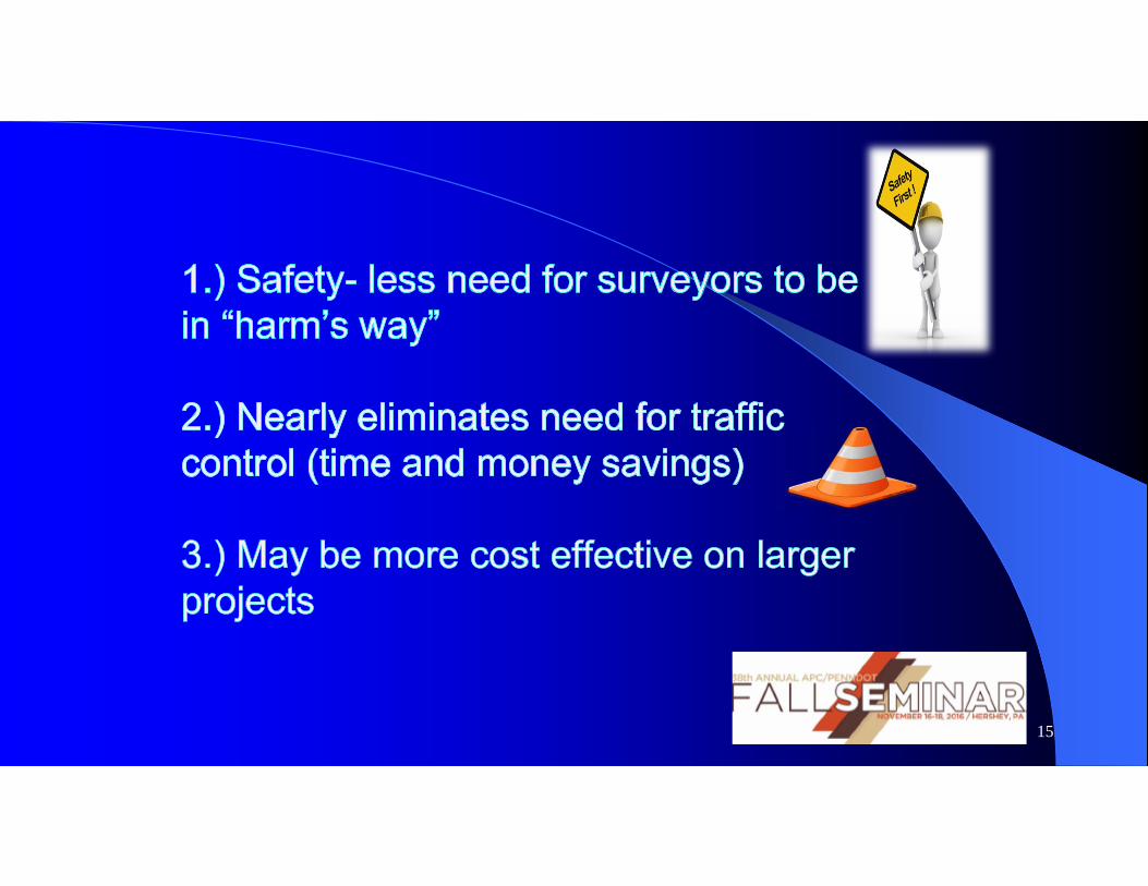
15
16
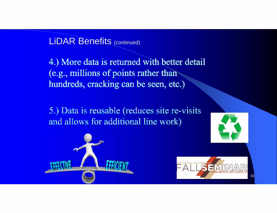
LiDAR Benefits (continued)
17
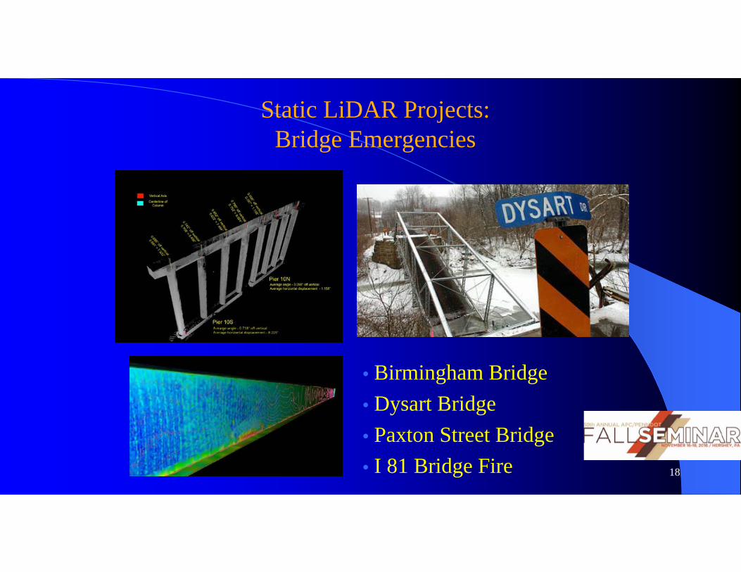
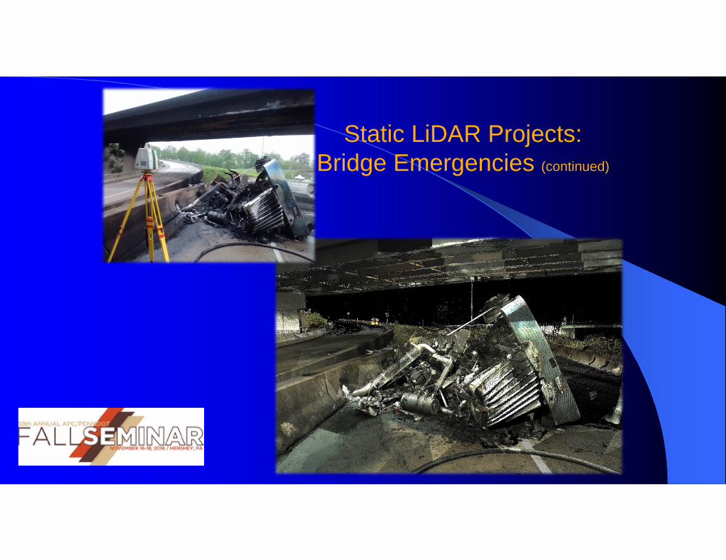
Static LiDAR Projects:Bridge Emergencies
• Birmingham Bridge • Dysart Bridge • Paxton Street Bridge • I 81 Bridge Fire 18
Static LiDAR Projects:Bridge Emergencies (continued)
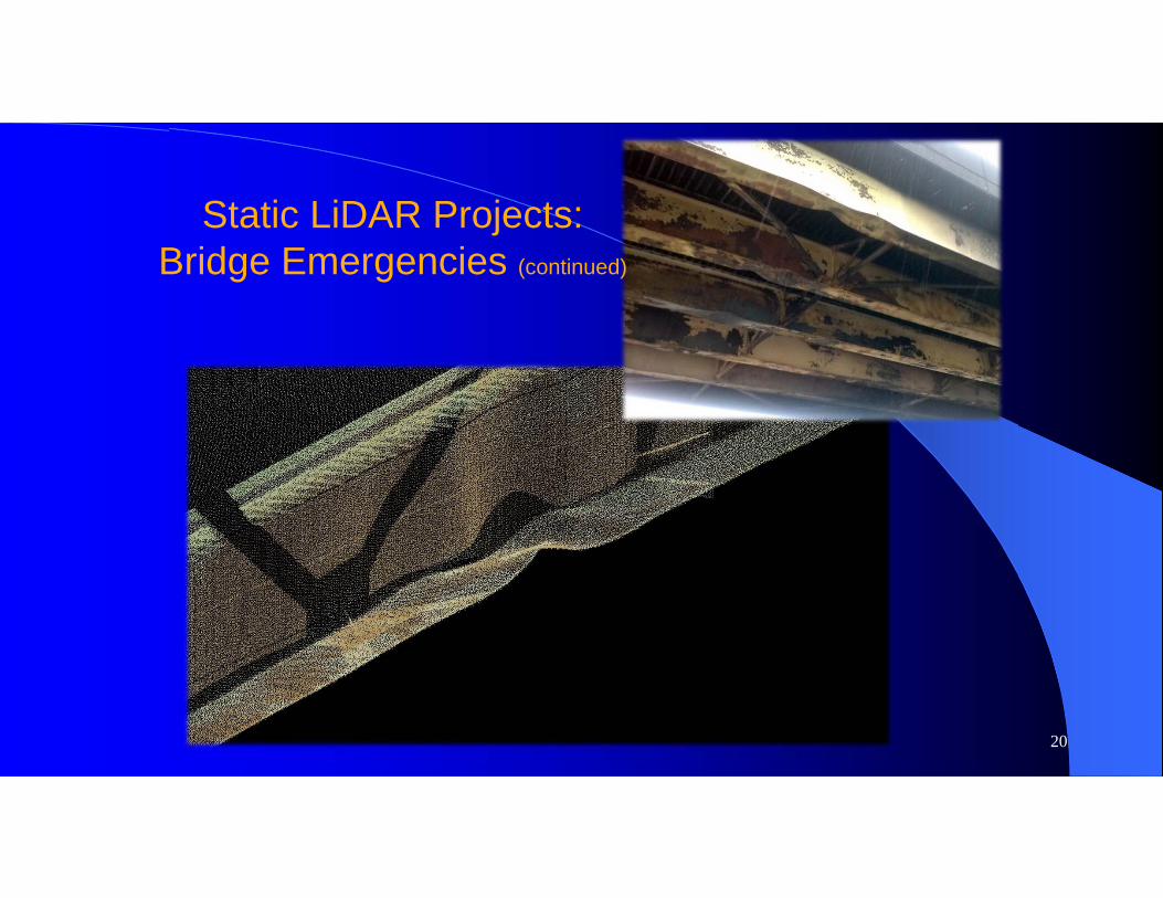
20
Static LiDAR Projects:Bridge Emergencies (continued)
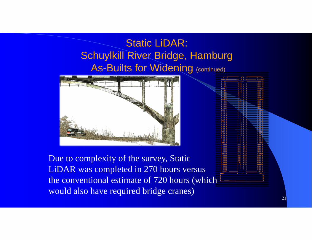
Static LiDAR:Schuylkill River Bridge, Hamburg
As-Builts for Widening (continued)
21
Due to complexity of the survey, Static LiDAR was completed in 270 hours versus the conventional estimate of 720 hours (which would also have required bridge cranes)
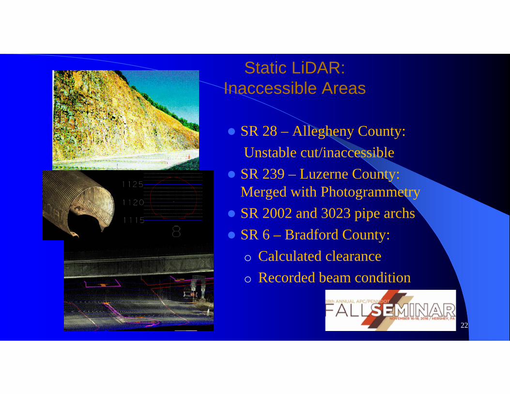
Static LiDAR:Inaccessible Areas
SR 28 – Allegheny County:Unstable cut/inaccessible
SR 239 – Luzerne County: Merged with Photogrammetry
SR 2002 and 3023 pipe archs SR 6 – Bradford County:
o Calculated clearanceo Recorded beam condition
22
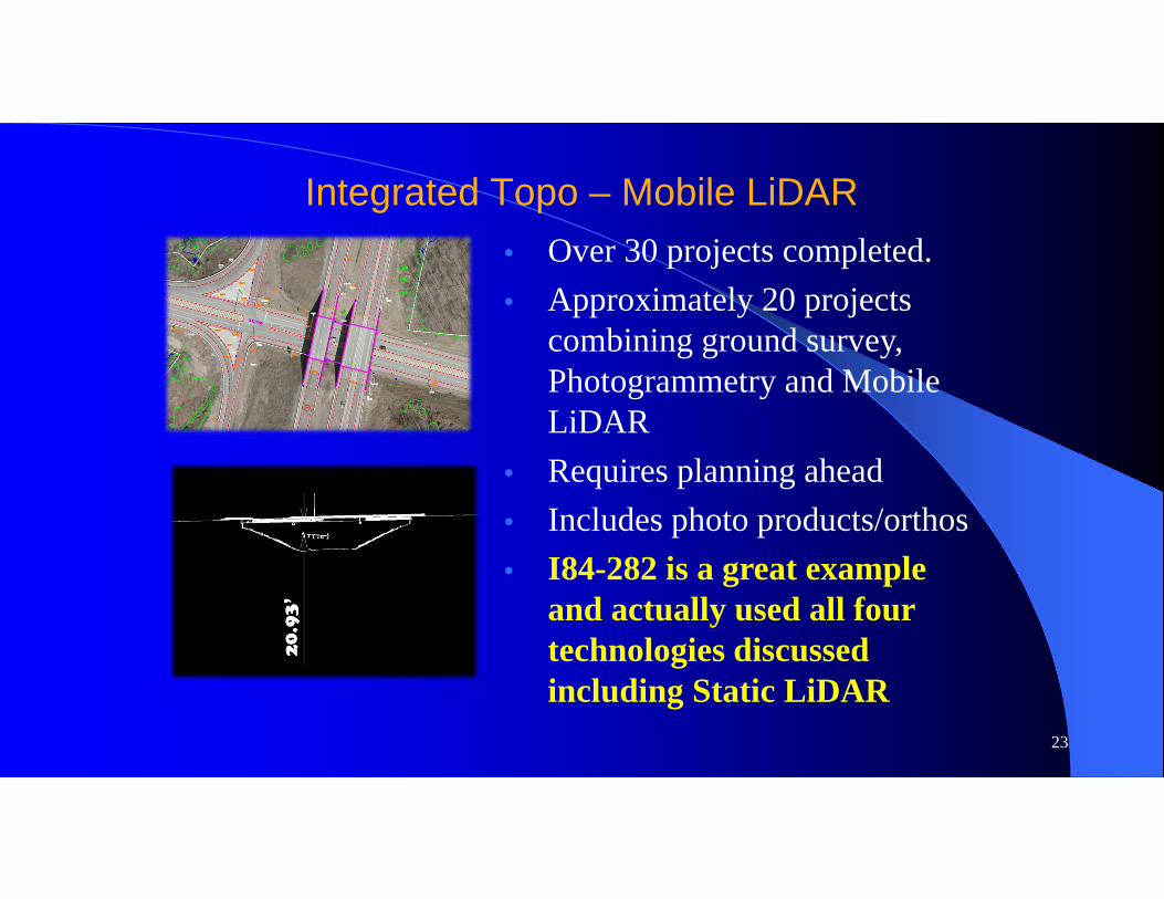
Integrated Topo – Mobile LiDAR
23
• Over 30 projects completed.• Approximately 20 projects
combining ground survey, Photogrammetry and Mobile LiDAR
• Requires planning ahead• Includes photo products/orthos• I84-282 is a great example
and actually used all four technologies discussed including Static LiDAR
24
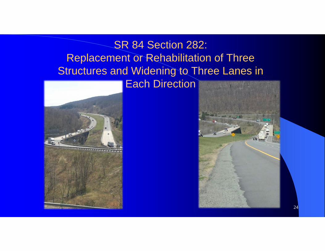
SR 84 Section 282:Replacement or Rehabilitation of Three
Structures and Widening to Three Lanes in Each Direction
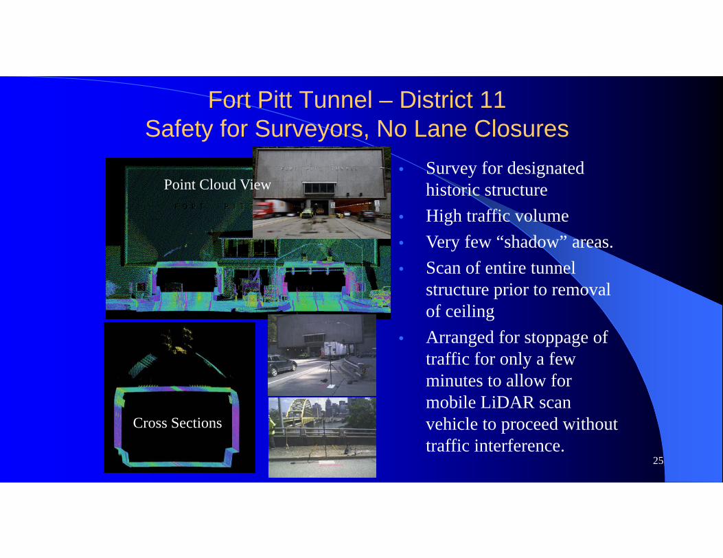
Fort Pitt Tunnel – District 11Safety for Surveyors, No Lane Closures
25
• Survey for designated historic structure
• High traffic volume• Very few “shadow” areas. • Scan of entire tunnel
structure prior to removal of ceiling
• Arranged for stoppage of traffic for only a few minutes to allow for mobile LiDAR scan vehicle to proceed without traffic interference.
Cross Sections
Point Cloud View

26
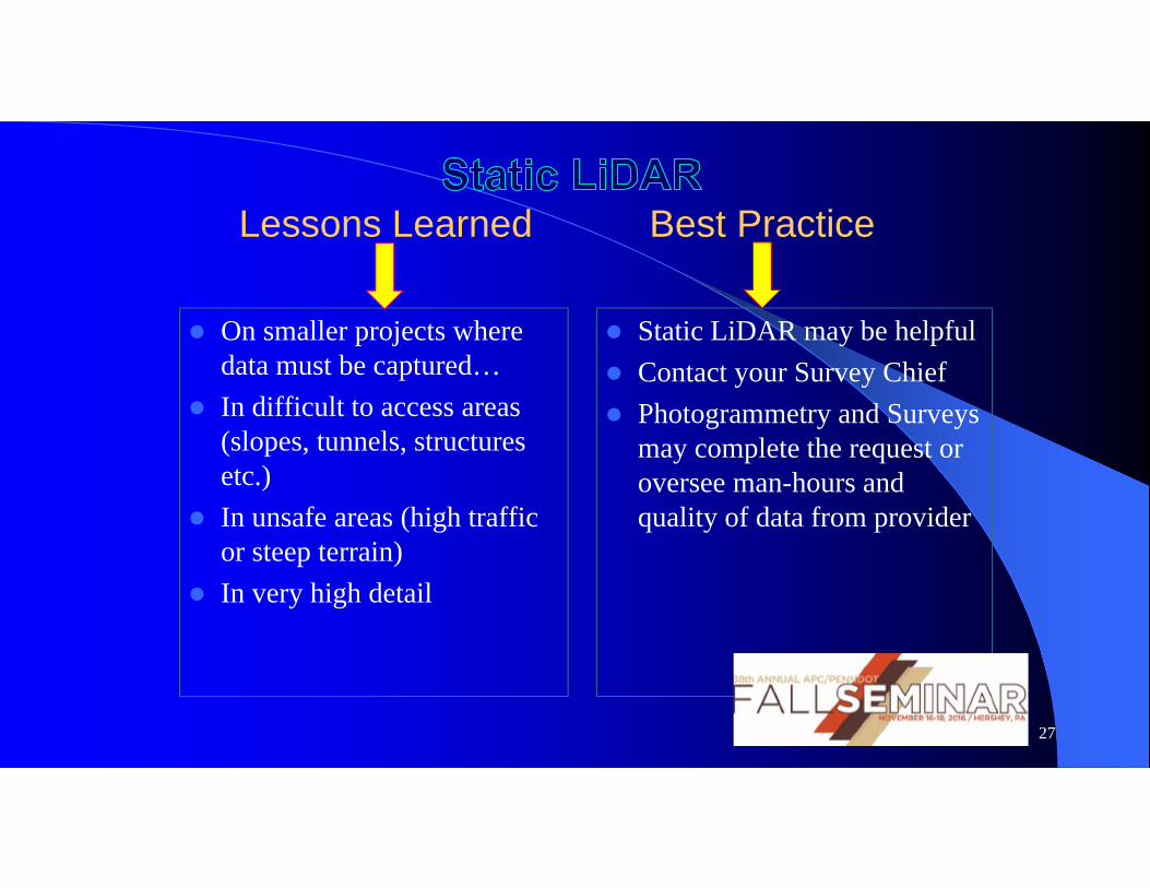
Lessons Learned Best Practice
On smaller projects where data must be captured…
In difficult to access areas (slopes, tunnels, structures etc.)
In unsafe areas (high traffic or steep terrain)
In very high detail
Static LiDAR may be helpful Contact your Survey Chief Photogrammetry and Surveys
may complete the request or oversee man-hours and quality of data from provider
27
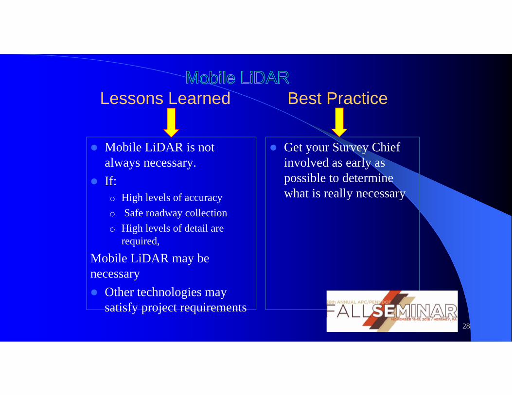
Lessons Learned Best Practice
Mobile LiDAR is not always necessary.
If: o High levels of accuracy o Safe roadway collection o High levels of detail are
required,
Mobile LiDAR may be necessary Other technologies may
satisfy project requirements
Get your Survey Chief involved as early as possible to determine what is really necessary
28
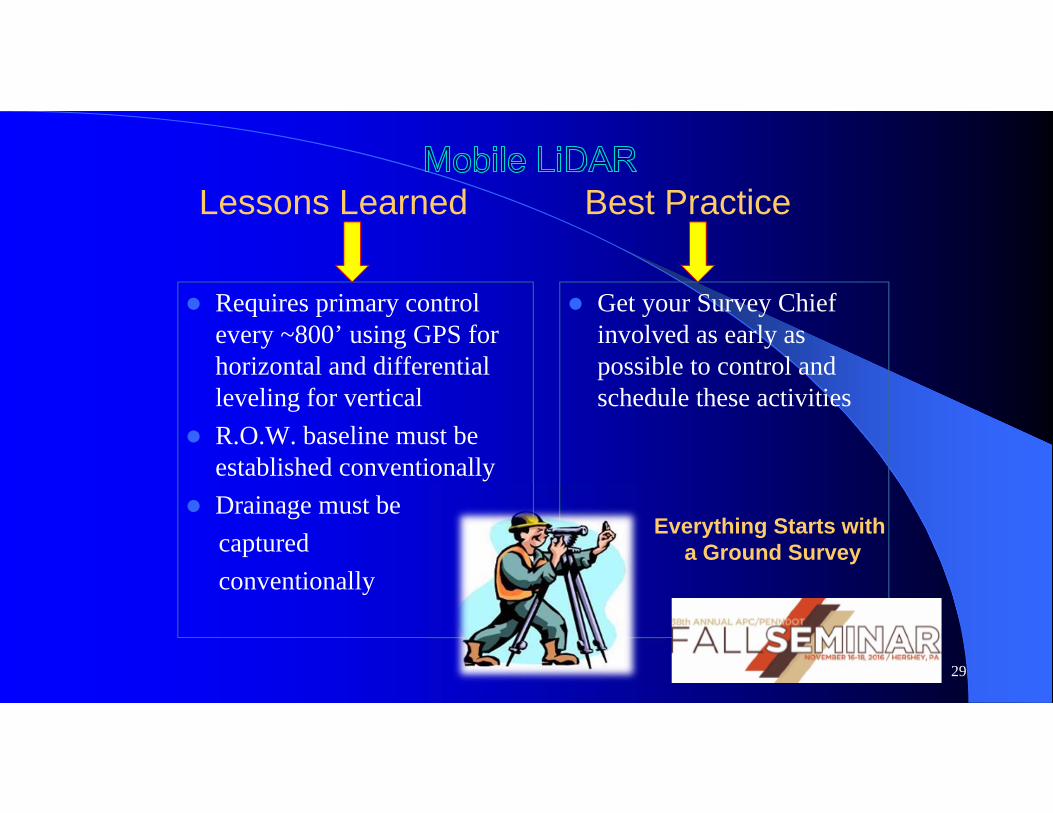
Requires primary control every ~800’ using GPS for horizontal and differential leveling for vertical
R.O.W. baseline must be established conventionally
Drainage must be captured conventionally
Get your Survey Chief involved as early as possible to control and schedule these activities
29
Lessons Learned Best Practice
Everything Starts witha Ground Survey
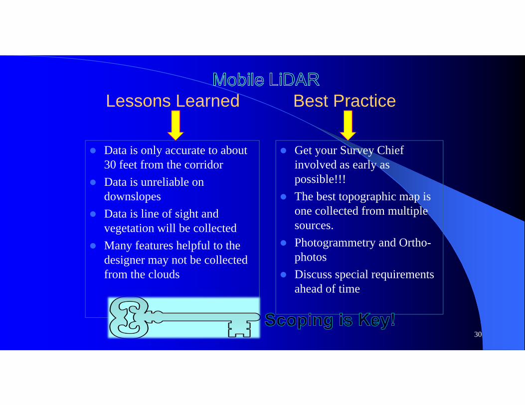
Data is only accurate to about 30 feet from the corridor
Data is unreliable on downslopes
Data is line of sight and vegetation will be collected
Many features helpful to the designer may not be collected from the clouds
Get your Survey Chief involved as early as possible!!!
The best topographic map is one collected from multiple sources.
Photogrammetry and Ortho-photos
Discuss special requirements ahead of time
30
Lessons Learned Best Practice
31
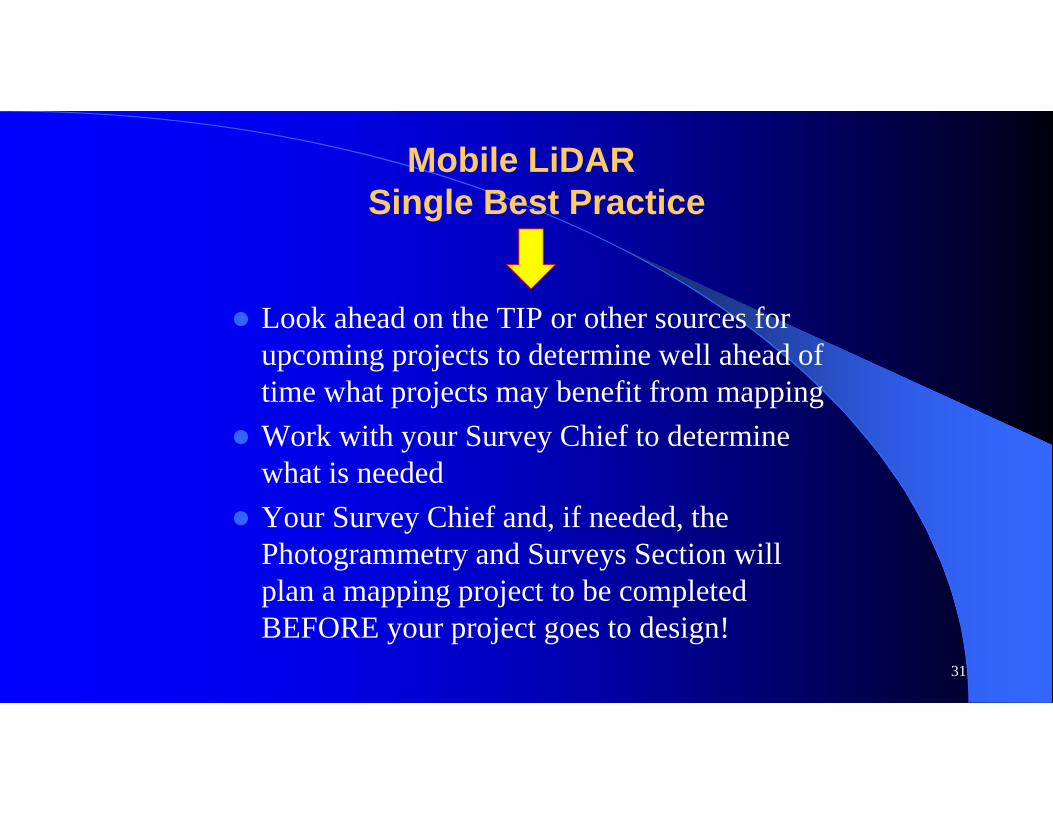
Mobile LiDARSingle Best Practice
Look ahead on the TIP or other sources for upcoming projects to determine well ahead of time what projects may benefit from mapping
Work with your Survey Chief to determine what is needed
Your Survey Chief and, if needed, the Photogrammetry and Surveys Section will plan a mapping project to be completed BEFORE your project goes to design!

32