Embed Size (px)
Citation preview

Location and Direction
Chapter 07
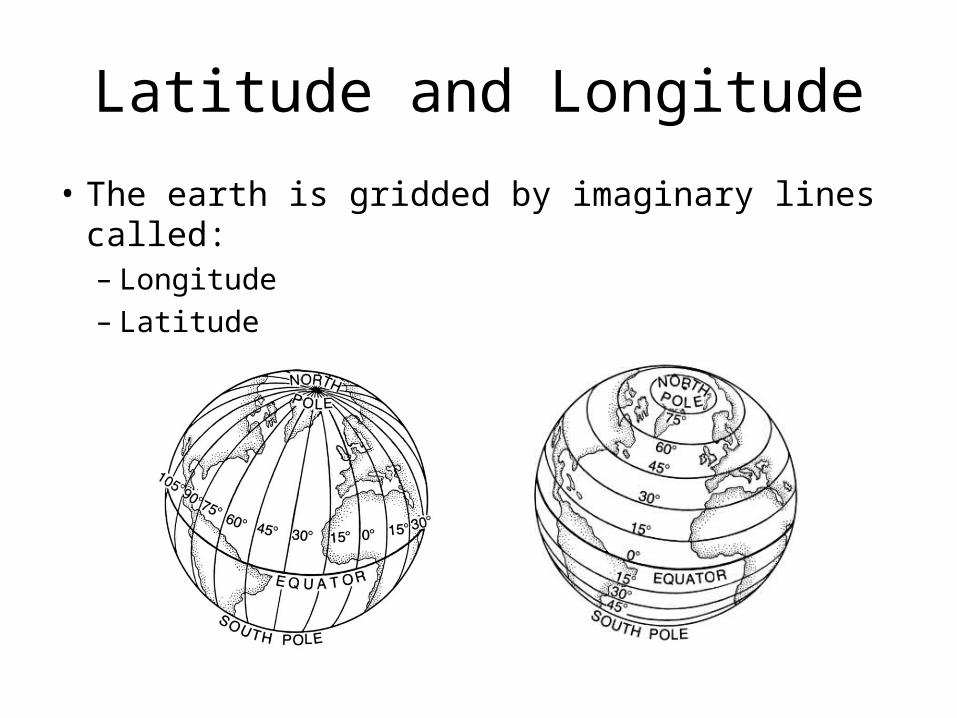
Latitude and Longitude
• The earth is gridded by imaginary lines called:– Longitude– Latitude
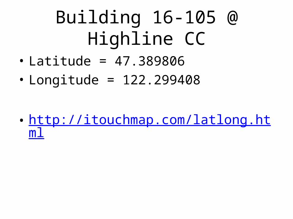
Building 16-105 @ Highline CC
• Latitude = 47.389806• Longitude = 122.299408
• http://itouchmap.com/latlong.html
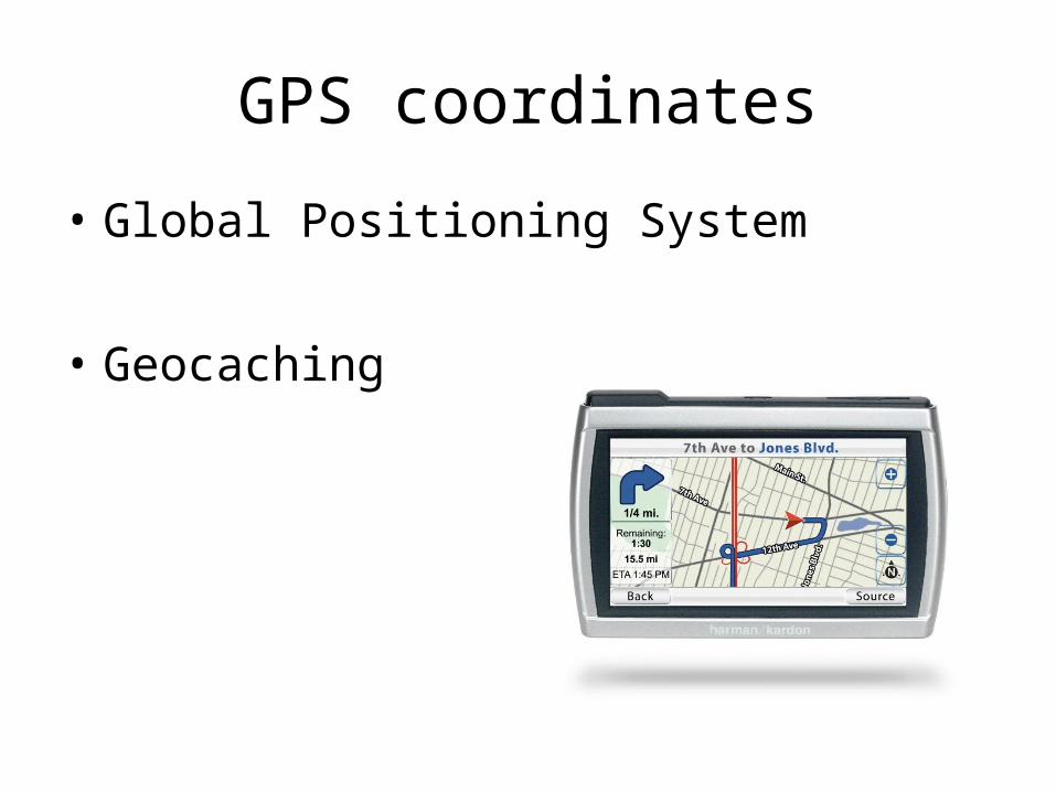
GPS coordinates
• Global Positioning System
• Geocaching

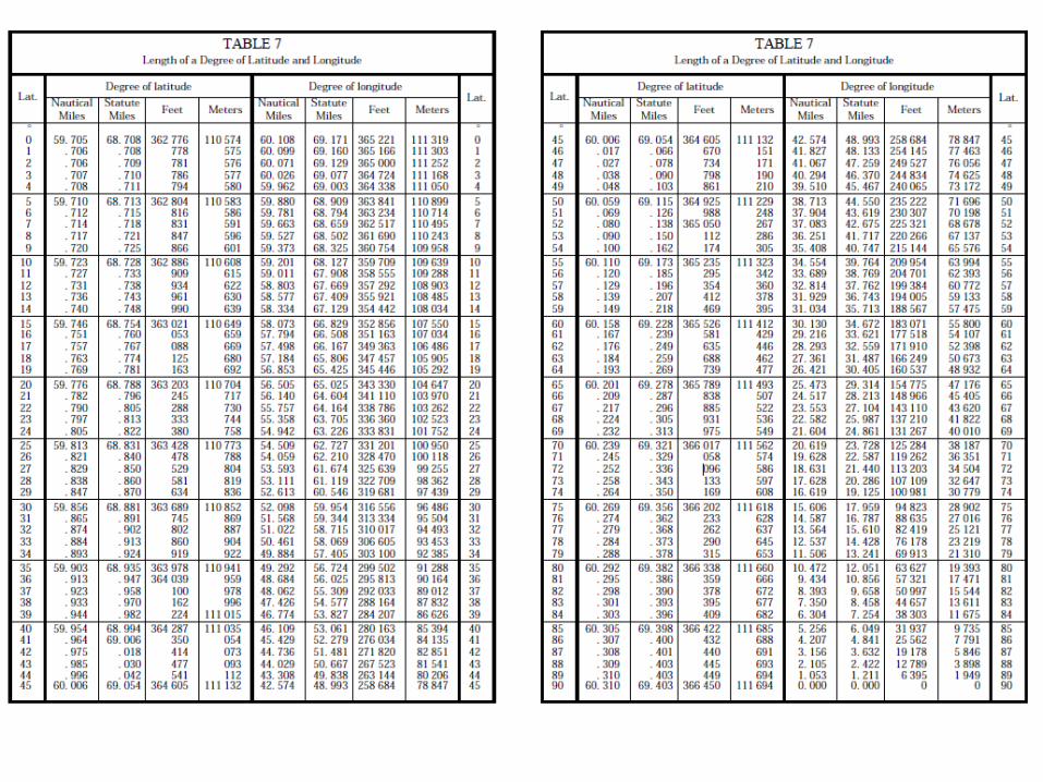
Length of a degree of Longitude
• The length of a degree of longitude decreases as you travel from the equator to the north or south pole.
• Seattle: 1˚ ≈ 47 miles
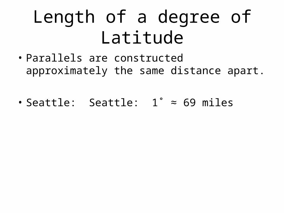
Length of a degree of Latitude
• Parallels are constructed approximately the same distance apart.
• Seattle: Seattle: 1˚ ≈ 69 miles
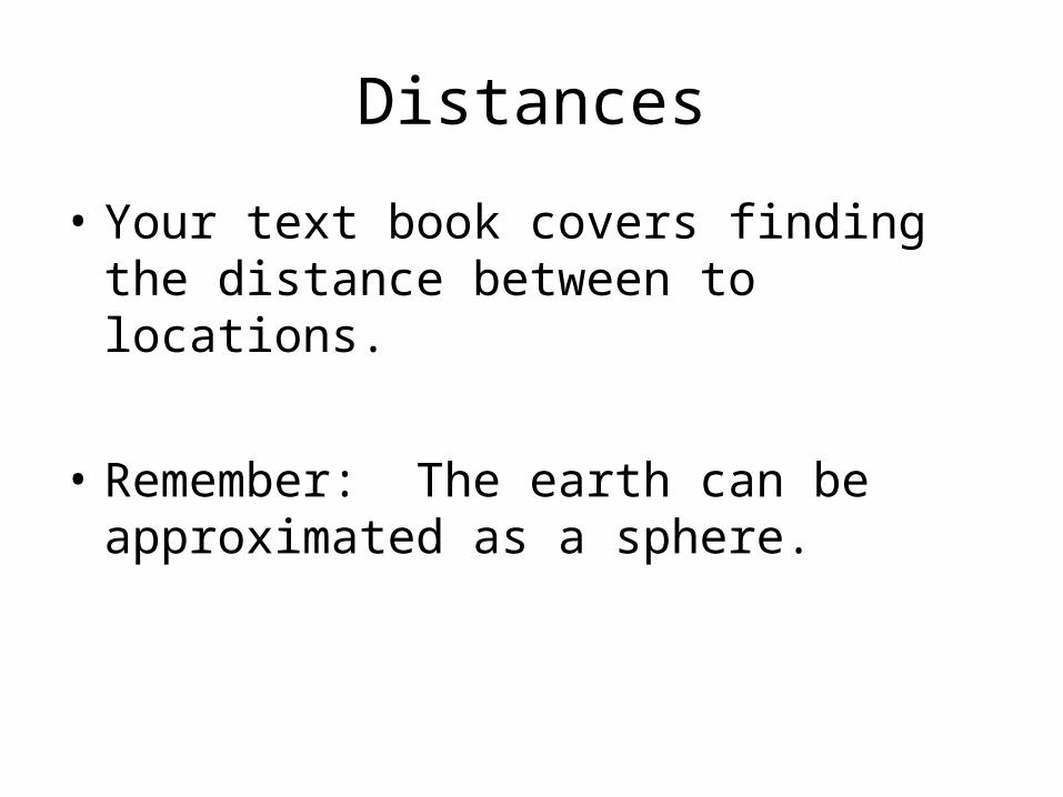
Distances
• Your text book covers finding the distance between to locations.
• Remember: The earth can be approximated as a sphere.
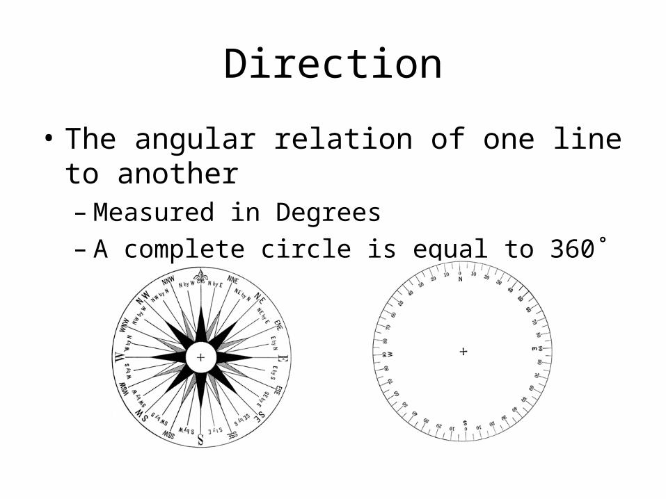
Direction
• The angular relation of one line to another– Measured in Degrees– A complete circle is equal to 360˚
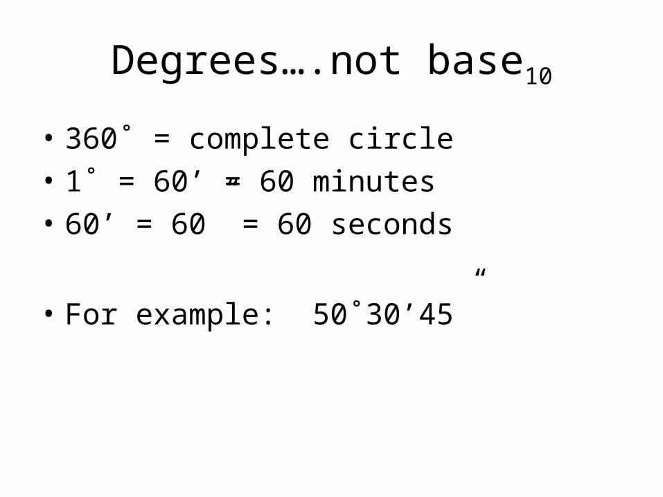
Degrees….not base10
• 360˚ = complete circle• 1˚ = 60’ = 60 minutes• 60’ = 60” = 60 seconds
• For example: 50˚30’45”
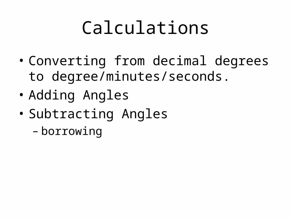
Calculations
• Converting from decimal degrees to degree/minutes/seconds.
• Adding Angles• Subtracting Angles– borrowing

Surveyor’s Compass
• Used to measure bearings or included angles.

True North (TN)
• Location of the North Pole
Magnetic North (MN)
• Magnetic North is where the compass north arrow points.
Magnetic Declination
• The meridian indicated by the needle on a compass seldom coincides with the true meridian.
• http://www.ngdc.noaa.gov/geomag/declination.shtml

Bearings• Angle to the north or south meridian from the
quadrant east or west.

Plotting a traverse
• POB – Point of beginning• Error of closure