Embed Size (px)
Citation preview

LOCATION-BASED SERVICES
Presented by Alan ReiterPresident, Wireless Internet
& Mobile [email protected]
301-715-3678
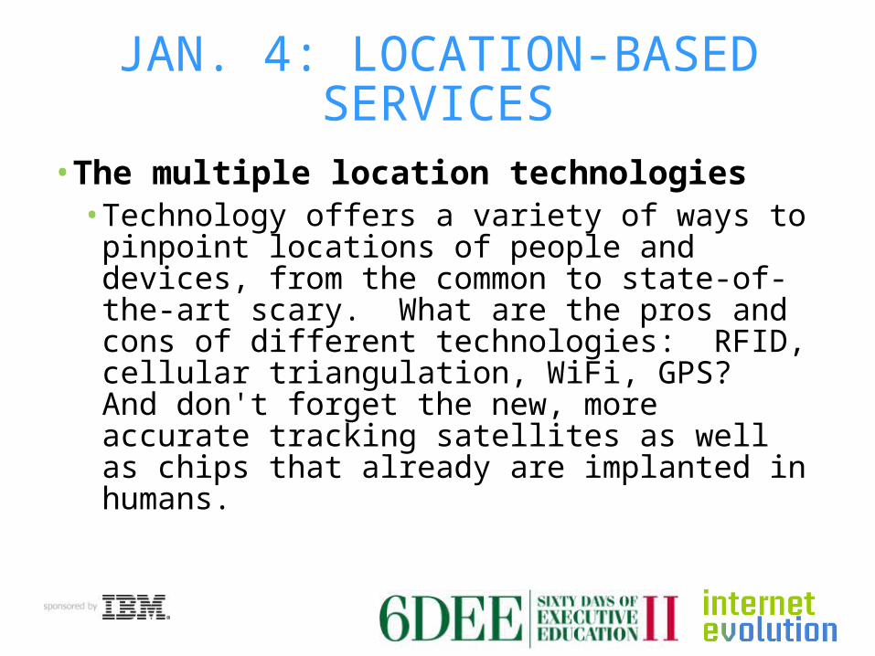
JAN. 4: LOCATION-BASED SERVICES
• The multiple location technologies• Technology offers a variety of ways to pinpoint
locations of people and devices, from the common to state-of-the-art scary. What are the pros and cons of different technologies: RFID, cellular triangulation, WiFi, GPS? And don't forget the new, more accurate tracking satellites as well as chips that already are implanted in humans.

RFID
• Several technologies• With or without a battery• 125KHz, 800 MHz, 900 MHz
• Multiple uses• Payment cards, passports,
toll roads• Tracking packages, animals,
library books, casino chips, clothing, vehicles, luggage

RFID
• Significant privacy, security concerns• Illegally downloading data• Hacking/changing data• Implantable humans

CELLULAR TRIANGULATION
• Radio triangulation used for decades• Compute distance/lag time
from cellular towers• Typically three towers, but one
or two also used• Google Maps - one
• Directional tower antennas can be more accurate
• Accuracy varies greatly – 25 meters – 1,000 meters

WIFI LOCATION
• Skyhook Wireless for iPhone

WIFI LOCATION
• Skyhook now integrates WiFi hotspots and cellular towers, plus GPS

SATELLITE LOCATION
• U.S. Global Positioning System• Russian GLONASS• European Galileo• Chinese COMPASS

U.S. GLOBAL POSITIONING SYSTEM
• 30 satellites in medium Earth orbit• Two levels of accuracy:
• Civilian – Standard Positioning Service• Worst-case accuracy: 300 feet• But often 20 feet to 100 feet
• Military – Precise PositioningService• Encrypted, jam-resistant
U.S. GLOBAL POSITIONING SYSTEM
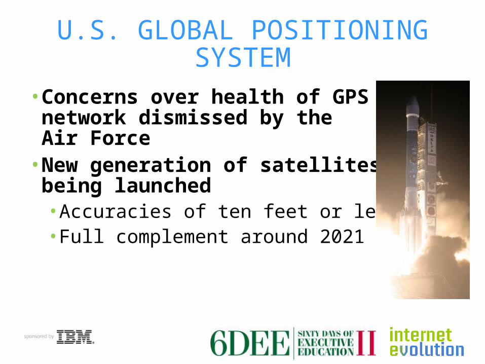
• Concerns over health of GPSnetwork dismissed by the Air Force
• New generation of satellitesbeing launched• Accuracies of ten feet or less• Full complement around 2021

RUSSIA GLONASS
• GLObal'naya NAvigatsionnaya Sputnikovaya Sistema (GLObal NAvigation Satellite System)
• About 21 satellites, coveringRussia and most of the world
• In December 2010, three satellites crashed during launch
• Slightly less accurate than GPS• Possible 25% import duty on GPS-only
devices

CHINA COMPASS
• COMPASS (Beidou-2)• 35 satellites
• 27: medium Earth orbit• 5: geostationary• 3: highly-inclined
geosynchronous

CHINA COMPASS
• Similar to GPS, GLONASS• Military and civilian use
• Free service – accuracy to ten meters• Six or seven satellites launched• 2012: More than 10 satellites
• Covering China and nearby countries• 2020: Completed with 35 satellites
• Global coverage

EUROPE GALILEO
• Built by European Union and European Space Agency
• Ostensibly under civilian control• Many budget problems
• Reduced from 30 satellites to 18• Conflicts between the U.S. and Europe
over who would use Galileo
EUROPE GALILEO
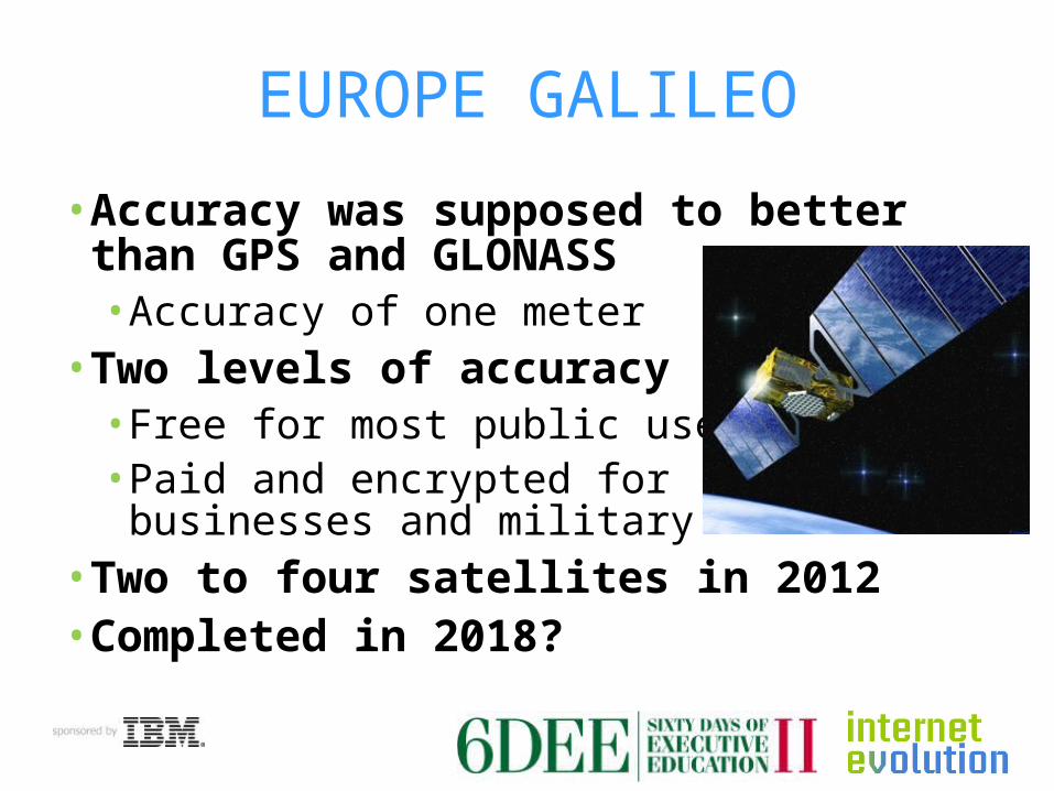
• Accuracy was supposed to better than GPS and GLONASS• Accuracy of one meter
• Two levels of accuracy• Free for most public uses• Paid and encrypted for
businesses and military• Two to four satellites in 2012• Completed in 2018?

OTHER SYSTEMS
• Japan launches first locationsatellite in September 2010: Michibiki• First of three satellites• To cover areas GPS misses
• India plans location satellites• India Regional Navigation Satellite System
(IRNSS)• First launch planned late 2011• Seven satellites total