Embed Size (px)
Citation preview
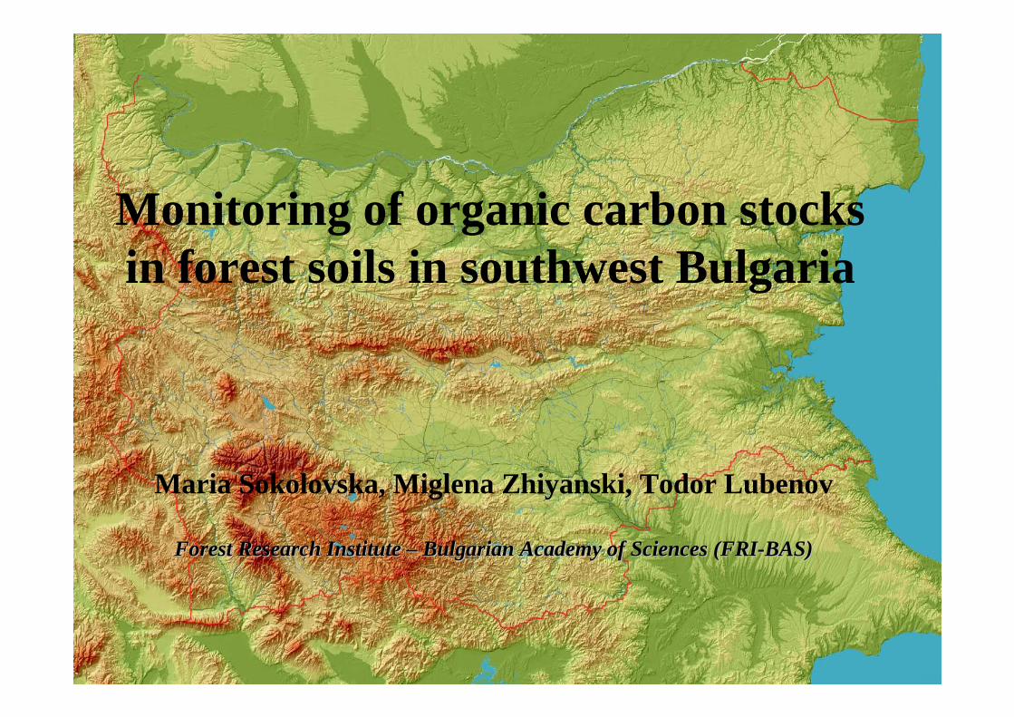
Maria Sokolovska, Miglena Zhiyanski, Todor Lubenov
Forest Research Institute Forest Research Institute –– Bulgarian Academy of Sciences (FRIBulgarian Academy of Sciences (FRI--BAS)BAS)
Monitoring of organic carbon stocks in forest soils in southwest Bulgaria
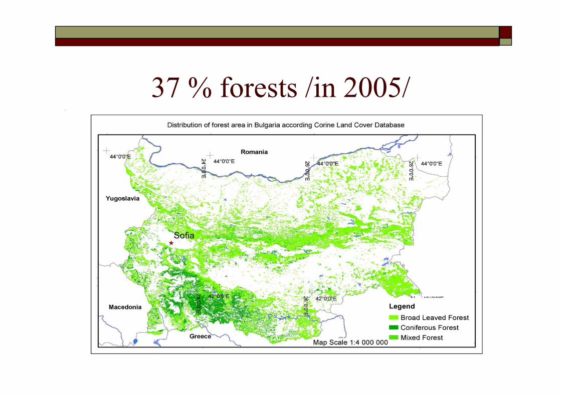
37 % forests /in 2005/
Background
The forest ecosystems have great capacity in carbon cycle
Kyoto Protocol ratification in July 2002
Institute of Energy JC Co. National Greenhouse gas (GHG) inventory in Bulgaria - including forest carbon sink (LULUCF)- in accordance with the IPCC good practice guidance
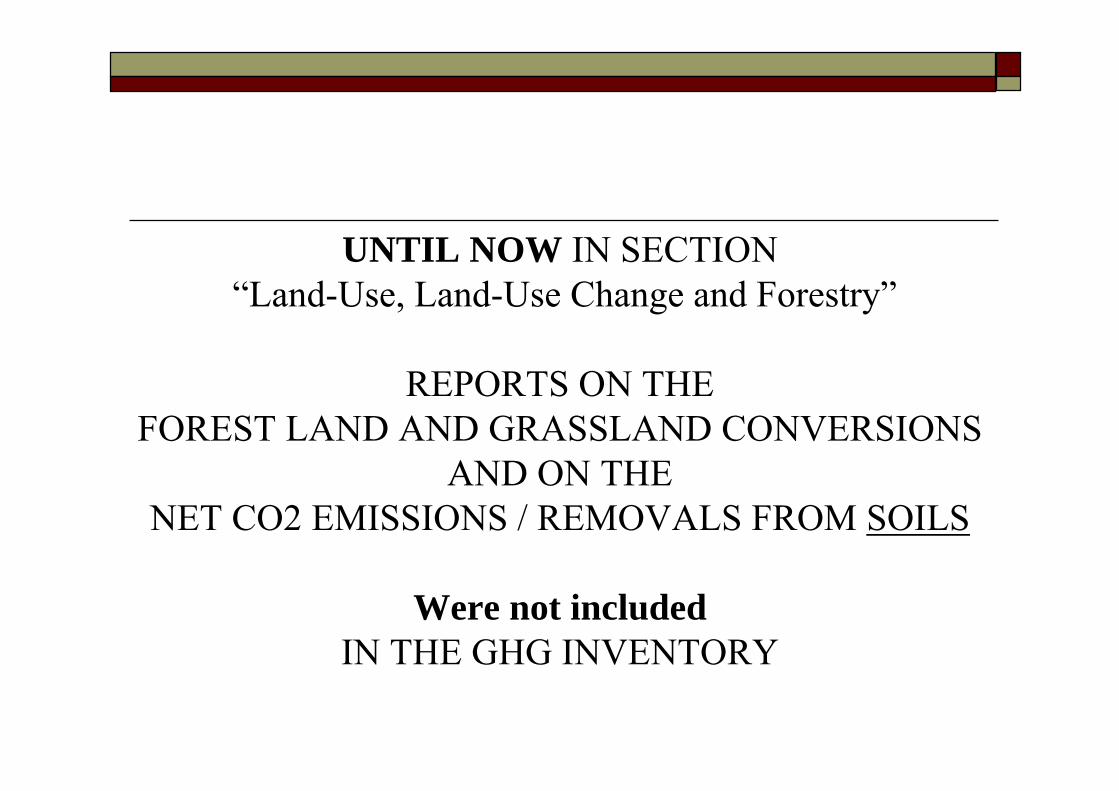
UNTIL NOW IN SECTION“Land-Use, Land-Use Change and Forestry”
REPORTS ON THE FOREST LAND AND GRASSLAND CONVERSIONS
AND ON THE NET CO2 EMISSIONS / REMOVALS FROM SOILS
Were not includedIN THE GHG INVENTORY
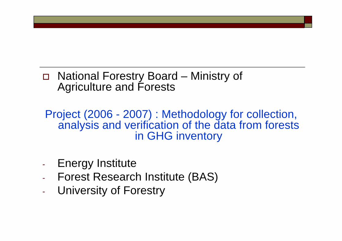
National Forestry Board – Ministry of Agriculture and Forests
Project (2006 - 2007) : Methodology for collection, analysis and verification of the data from forests
in GHG inventory
- Energy Institute- Forest Research Institute (BAS)- University of Forestry
Data Base analysis
(desktop databases&
enterprise databases)
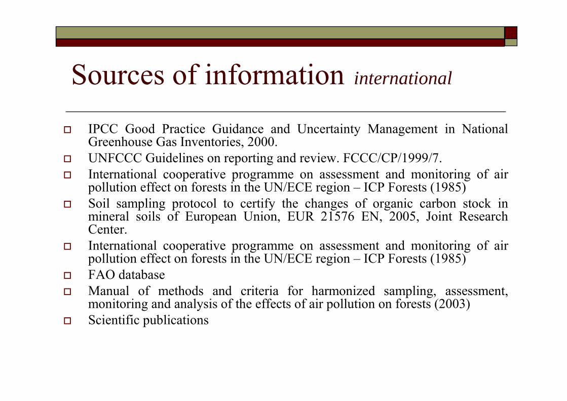
Sources of information international
IPCC Good Practice Guidance and Uncertainty Management in National Greenhouse Gas Inventories, 2000.UNFCCC Guidelines on reporting and review. FCCC/CP/1999/7.International cooperative programme on assessment and monitoring of air pollution effect on forests in the UN/ECE region – ICP Forests (1985)Soil sampling protocol to certify the changes of organic carbon stock in mineral soils of European Union, EUR 21576 EN, 2005, Joint Research Center.International cooperative programme on assessment and monitoring of air pollution effect on forests in the UN/ECE region – ICP Forests (1985)FAO databaseManual of methods and criteria for harmonized sampling, assessment, monitoring and analysis of the effects of air pollution on forests (2003) Scientific publications
Sources of information nationalNational Communications of Bulgaria under UNFCCC – 1996, 1998, 2002.National soil survey (up to 2004)Reports “Monitoring of forest ecosystems” (1994-2005, FRI and UF)Reported annual data for the forest fund (NFB at MAF) Database AGROLES Project – inventory of forests at regional scaleDatabase from experimental stations of FRI and UF (1964 – 2005)“FF” forms – Forest fund forms (NFB) Annuals of National Statistics Institute Scientific publications
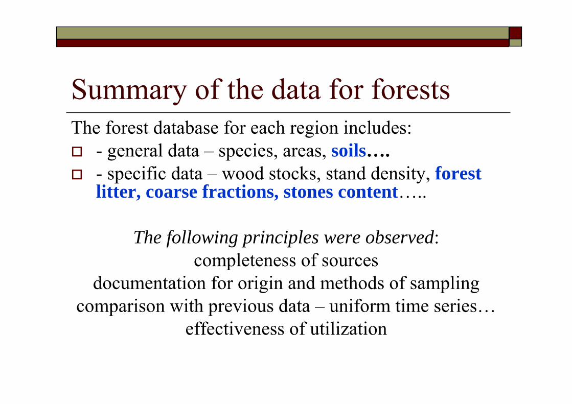
Summary of the data for forestsThe forest database for each region includes:
- general data – species, areas, soils….- specific data – wood stocks, stand density, forest litter, coarse fractions, stones content…..
The following principles were observed:completeness of sources
documentation for origin and methods of samplingcomparison with previous data – uniform time series…
effectiveness of utilization
The AIM isto analyze the available data and current technologies for monitoring of organic carbon in forest soils to present initial results for one experimental region
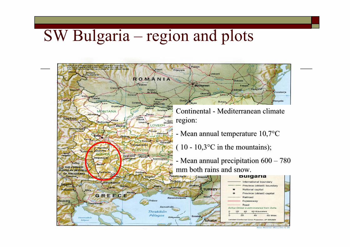
SW Bulgaria – region and plots
Continental Continental -- Mediterranean climate Mediterranean climate region:region:
-- Mean annual temperature 10,7°CMean annual temperature 10,7°C
( 10 ( 10 -- 10,3°C in the mountains);10,3°C in the mountains);
-- Mean annual precipitation 600 Mean annual precipitation 600 –– 780 780 mm both rains and snow. mm both rains and snow.
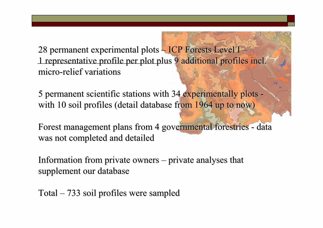
28 permanent experimental plots 28 permanent experimental plots –– ICP Forests Level I ICP Forests Level I ––1 representative profile per plot plus 9 additional profiles inc1 representative profile per plot plus 9 additional profiles incl. l. micromicro--relief variationsrelief variations
5 permanent scientific stations with 34 experimentally plots 5 permanent scientific stations with 34 experimentally plots --with 10 soil profiles (detail database from 1964 up to now)with 10 soil profiles (detail database from 1964 up to now)
Forest management plans from 4 governmental Forest management plans from 4 governmental forestriesforestries -- data data was not completed and detailedwas not completed and detailed
Information from private owners Information from private owners –– private analyses that private analyses that supplement our databasesupplement our database
Total Total –– 733 soil profiles were sampled733 soil profiles were sampled
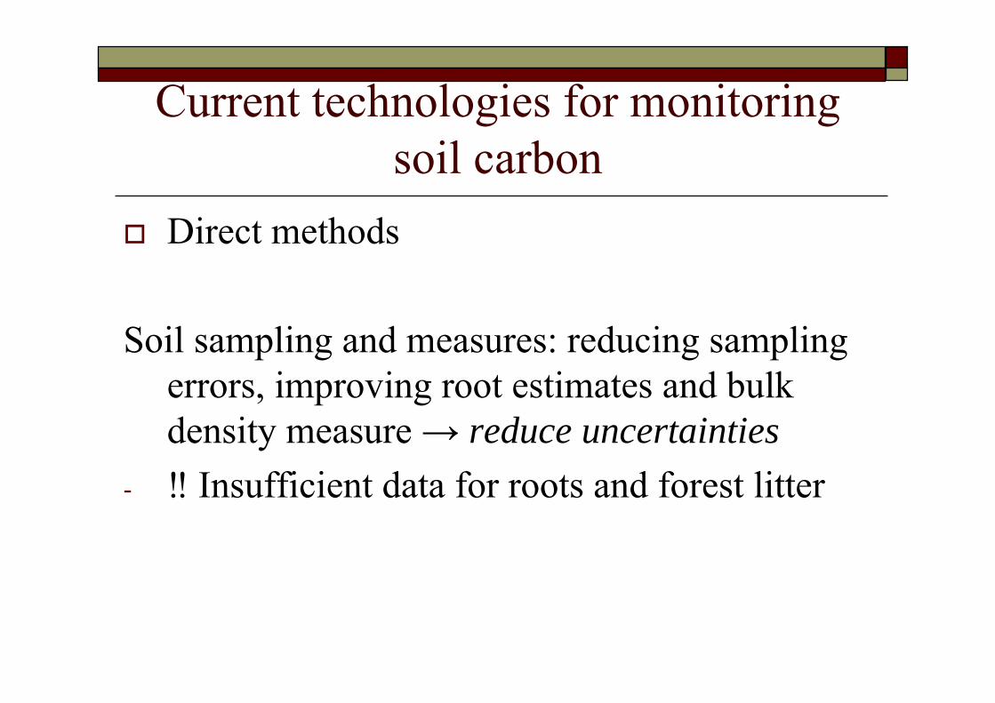
Current technologies for monitoring soil carbon
Direct methods
Soil sampling and measures: reducing sampling errors, improving root estimates and bulk density measure → reduce uncertainties
- ‼ Insufficient data for roots and forest litter
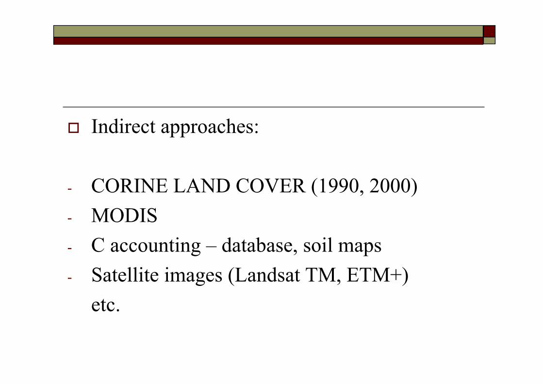
Indirect approaches:
- CORINE LAND COVER (1990, 2000) - MODIS- C accounting – database, soil maps- Satellite images (Landsat TM, ETM+)
etc.
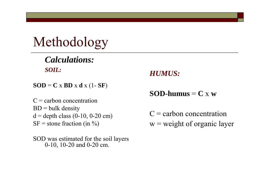
Methodology Calculations:SOIL:
SOD = C x BD x d x (1- SF)
C = carbon concentrationBD = bulk densityd = depth class (0-10, 0-20 cm)SF = stone fraction (in %)
SOD was estimated for the soil layers 0-10, 10-20 and 0-20 cm.
HUMUS:
SOD-humus = C x w
C = carbon concentrationw = weight of organic layer
Methodology Organic carbon – Turin’s method (Kononova, 1966) modified – bichromate digestion at 125ºC, 45 min, in presence of Ag2SO4 and FeSO4 titrationBulk density – ISO 11 272Stone content – measured one time when the plots have been determined
Results initial
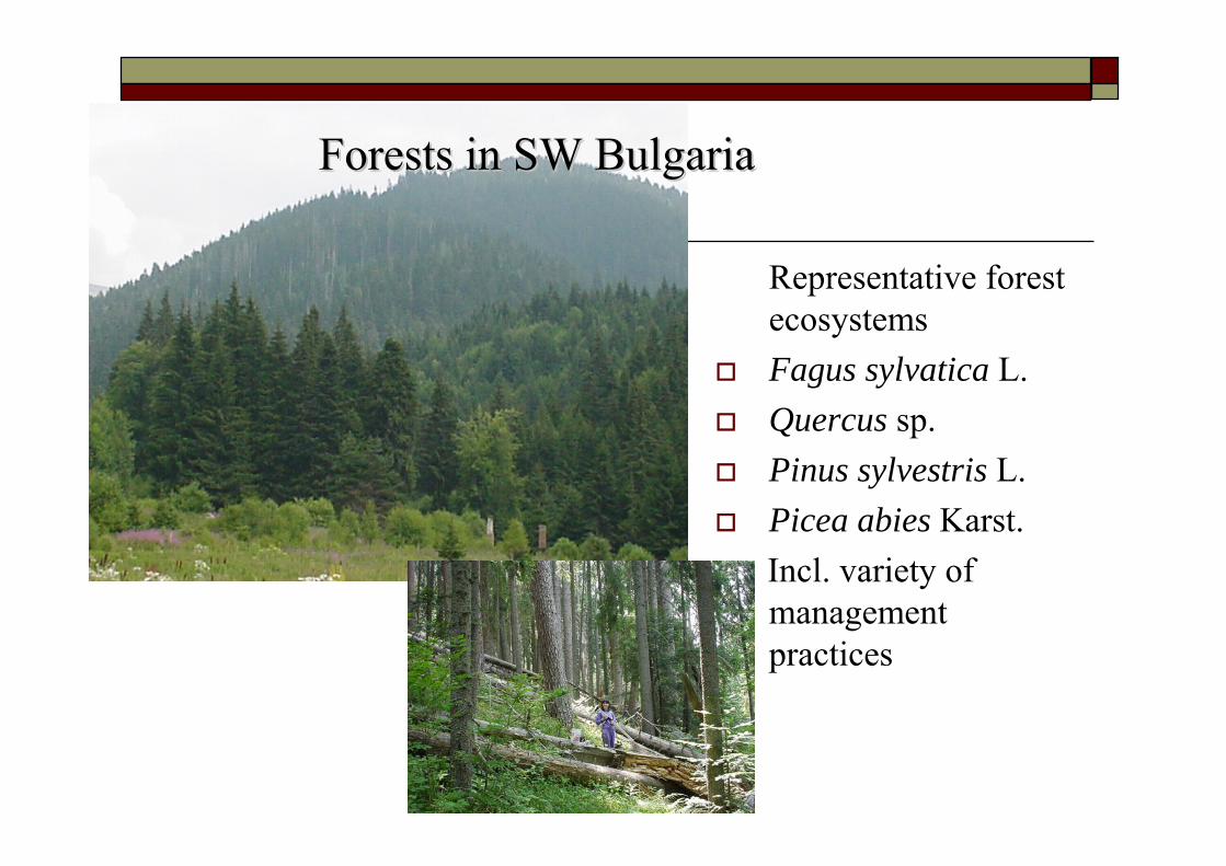
Representative forest ecosystemsFagus sylvatica L.Quercus sp.Pinus sylvestris L.Picea abies Karst.Incl. variety of management practices
Forests in SW BulgariaForests in SW Bulgaria
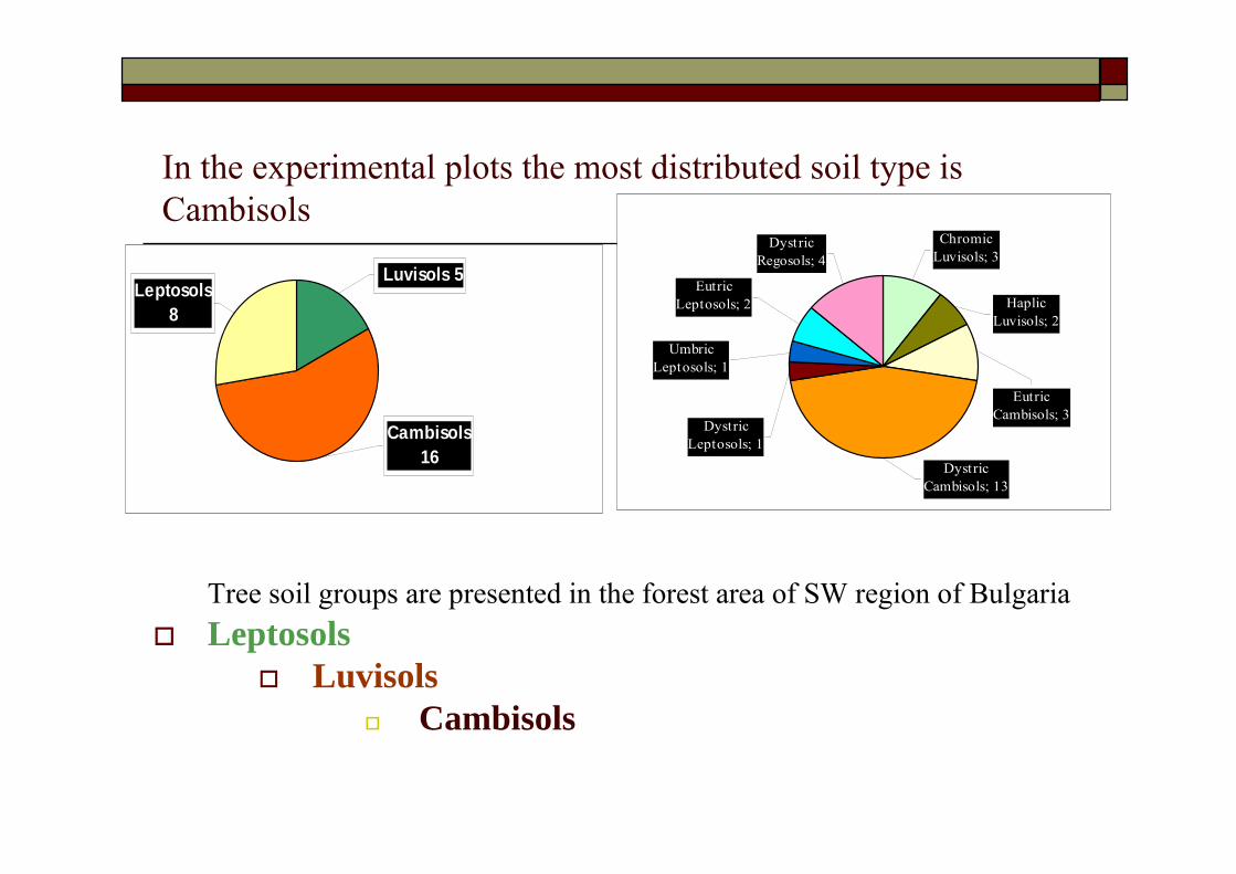
In the experimental plots the most distributed soil type is Cambisols
Tree soil groups are presented in the forest area of SW region of BulgariaLeptosols
LuvisolsCambisols
Cambisols16
Luvisols 5Leptosols
8
Umbric Leptosols; 1
Chromic Luvisols; 3
Dystric Leptosols; 1
Eutric Leptosols; 2
Dystric Regosols; 4
Dystric Cambisols; 13
Eutric Cambisols; 3
Haplic Luvisols; 2
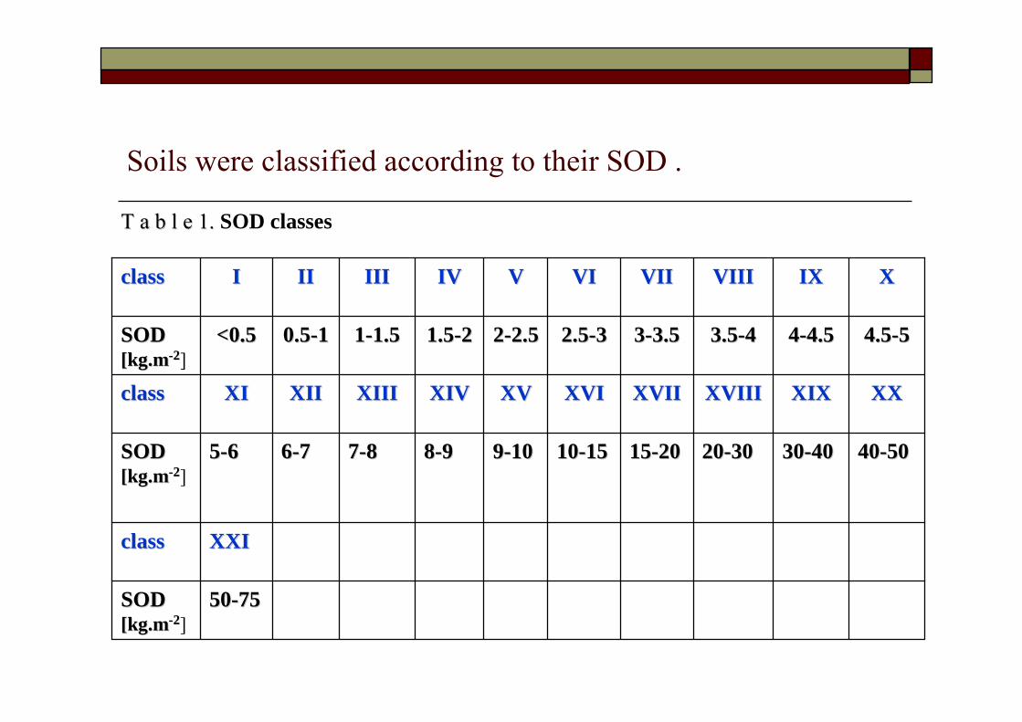
Soils were classified according to their SOD .
XXIXXIclassclass
4040--50503030--40402020--30301515--20201010--151599--101088--9977--8866--7755--66SOD SOD [kg.m[kg.m--22]
5050--7575SOD SOD [kg.m[kg.m--22]
XXXXXIXXIXXVIIIXVIIIXVIIXVIIXVIXVIXVXVXIVXIVXIIIXIIIXIIXIIXIXIclassclass
4.54.5--5544--4.54.53.53.5--4433--3.53.52.52.5--3322--2.52.51.51.5--2211--1.51.50.50.5--11<0.5<0.5SOD SOD [kg.m[kg.m--22]
XXIXIXVIIIVIIIVIIVIIVIVIVVIVIVIIIIIIIIIIIIclassclass
T a b l e 1. T a b l e 1. SOD classes

I - III0.40.8Leptosols
VII - XVI4.57.3Luvisols
VII - VIII2.25.6Cambisols
SOD classSt. deviationSOD [kg. m-2]soil
T a b l e 2. Carbon stocks in 0T a b l e 2. Carbon stocks in 0--20 cm of soils20 cm of soils
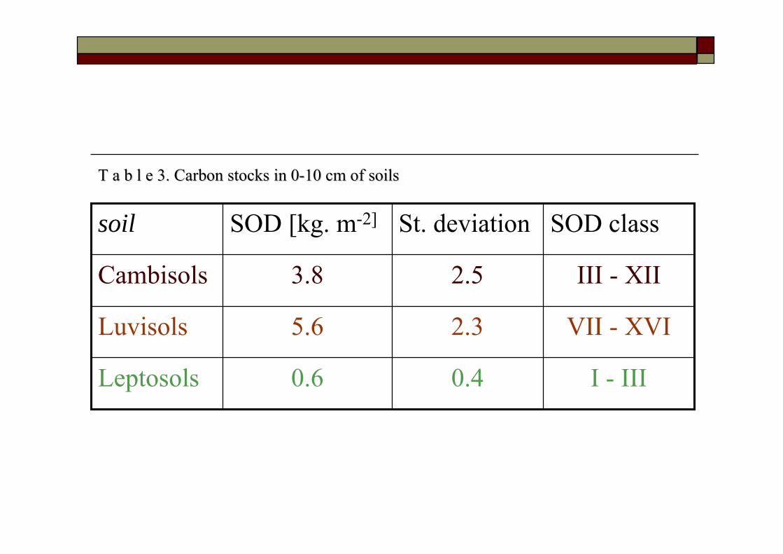
I - III0.40.6Leptosols
VII - XVI2.35.6Luvisols
III - XII2.53.8Cambisols
SOD classSt. deviationSOD [kg. m-2]soil
T a b l e 3. Carbon stocks in 0T a b l e 3. Carbon stocks in 0--10 cm of soils10 cm of soils
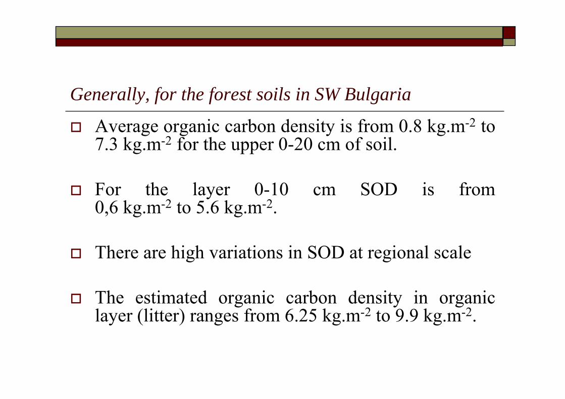
Generally, for the forest soils in SW Bulgaria
Average organic carbon density is from 0.8 kg.m-2 to 7.3 kg.m-2 for the upper 0-20 cm of soil.
For the layer 0-10 cm SOD is from 0,6 kg.m-2 to 5.6 kg.m-2.
There are high variations in SOD at regional scale
The estimated organic carbon density in organic layer (litter) ranges from 6.25 kg.m-2 to 9.9 kg.m-2.
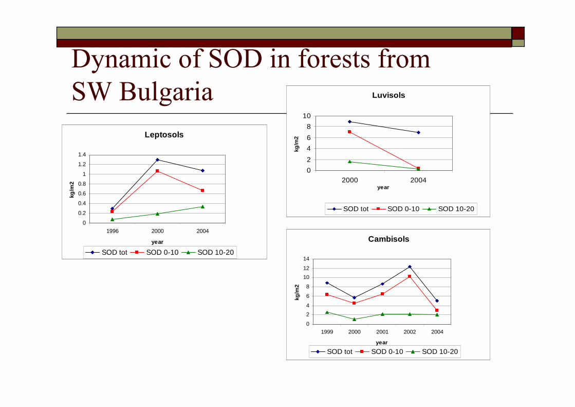
Dynamic of SOD in forests from SW Bulgaria
Leptosols
0
0.2
0.4
0.6
0.8
1
1.2
1.4
1996 2000 2004
year
kg/m
2
SOD tot SOD 0-10 SOD 10-20
Luvisols
02468
10
2000 2004year
kg/m
2
SOD tot SOD 0-10 SOD 10-20
Cambisols
0
24
6
8
1012
14
1999 2000 2001 2002 2004
year
kg/m
2
SOD tot SOD 0-10 SOD 10-20
Organic carbon losses were detected in all studied forest soils –
Leptosols, Luvisols and Cambisolsfor the last 4 years
outlookImprove database for carbon stocks in forest soils (vs. practical methodology in sampling and data verification)Deeper analyses of SOC at plot level and statistical analysesImprove representativityExchange of information in forest soils carbon measurements and modellingReduce uncertainties and check models‼ Application of ArcGIS 9.0 & Spatial Analyst for spatial data analysis and mapping at regional scale.
THANK YOU FOR YOUR ATTENTION !THANK YOU FOR YOUR ATTENTION !