Embed Size (px)
Citation preview
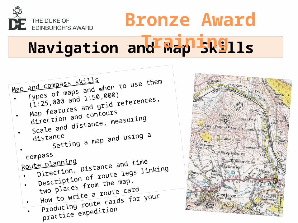
Navigation and Map Skills
Map and compass skills
• Types of maps and when to use them (1:25,000 and
1:50,000)
• Map features and grid references, direction and
contours
• Scale and distance, measuring distance
• Setting a map and using a compass
Route planning
• Direction, Distance and time
• Description of route legs linking two places from the
map.
• How to write a route card
• Producing route cards for your practice expedition
Bronze Award Training

There are TWO types of map you will use
1:50,000• Used to plan routes• Shows a large area
1:25,000• Used while walking• Much more detailed
(eg. field boundaries)

Features on OS Maps to know 1:50,000 1:25,000
Footpath, bridlepath
Roads
Stream/river
Phonebox
Pub
Woodland
Church
Tracks
Railways (cuttings and embankments) Bridges

Grid References and Direction• Eastings and Northings • (E comes before N) “Along the corridor and up
the stairs”• You must give SIX FIGURE references for
checkpoints and know where you are by grid reference at all times !! (Compass roamer)
Going from north to south, what the 6-figure grid references for the 4 circled
points ?
What direction are you travelling from 1 2 3 4 ? 131819
114817
134814
107805
West
East
South West
At this stage you only need vague directions of
the 8 cardinal/ intercardnal points but
16 is better !!

Contours ! • The closer together the steeper it is (up or down) !!• Numbers on contour lines show height above sea level (how you know if its up
or down)
1
2
3

Can you spot…. • Where is the big hill ?• Where is there a long steep ridge
or valley?• Why don’t you know if it’s a ridge
of a valley?• Find…
– A pub– A campsite– A car park– An area of woodland– A phonebox– A railway– A cutting – An embankment – A bridge– An A-road– A stream– A river

Scale and Distance • A square on both kinds
of map is 1km• String is excellent for
measuring distance• How far is the route
shown in red?

Start Destination (and Grid Ref) : Main road in Castleton 155813
Grid Reference & Description
Direction (compass point/bearing)
Height (+/-m)
Distance (km)
Time (mins)
Written description of leg
163814 Phonebox E 1 20 Follow the main road to the phonebox in Hope
168821 End of track
NE 1 20 Take the track north and continue onto the path bearing NE for 500m until the end of a track
159826 Below Losehill Fm
NW 1.25 25 Take the footpath northwest uphill until you reach a T-junction of footpaths
168825 Road E 1 20 Take the right path for 200m and go east downhill to join a track to follow SE to the road
172828 Fulwood Fm
NE 0.5 10 Take the track slightly north up the road and follow it over a railway to Fulwood farm.
174822 Cemetery SE 0.75 15 Follow the path almost south for 400m and slightly downhill past two buildings on the left to reach the cemetery 100m after the second building.
TOTALS 5.5 110
GROUP: 4
Day/date: Saturday 25/4/15
Estimated Arrival Time: 11:50am
Departure Time: 10:00am
Bronze Practice
Actual Arrival Time: Will you match it on the real thing???? You cant
do the red bits now
Top tips
• Write in the start location and grid reference
(from above)
• Split the route into sections (legs)
• Write in the end of Leg 1’s destination and grid
reference
• Write the direction travelled from the start
location to the end of Leg 1 (eg. NW)
• Use string to measure the distance and write
that in (eg. 2.5)
• Work out the time it will take (20 mins per
kilometre, so 50 for 2.5km)
• Write a written description of the leg.
• REPEAT THIS FOR ALL OF THE LEGS
• Total up the distances and times (in minutes)
• Enter the start time and work out the finish
time – write that in too!

Top tips for speedy route card production1. Write your group number and day
number (1 or 2), day (Sat or Sun) and date (eg. 25/4/15) in the top right box.
2. Write in the start location and grid reference in the top box
3. Split the route into sections (legs)4. Write in the end of each Legs
destination and grid reference5. Write the direction travelled for each
leg in the next columns (eg. NW)6. Use string to measure the distance and
write that in for each leg (eg. 2.5)7. Work out the time it will take for each
leg (20 mins per kilometre, so 50 for 2.5km)
8. Write a written description of the legs.9. Total up the distances and times (in
minutes)10. Enter the start time and work out the
finish time – write that in too!