Embed Size (px)
Citation preview
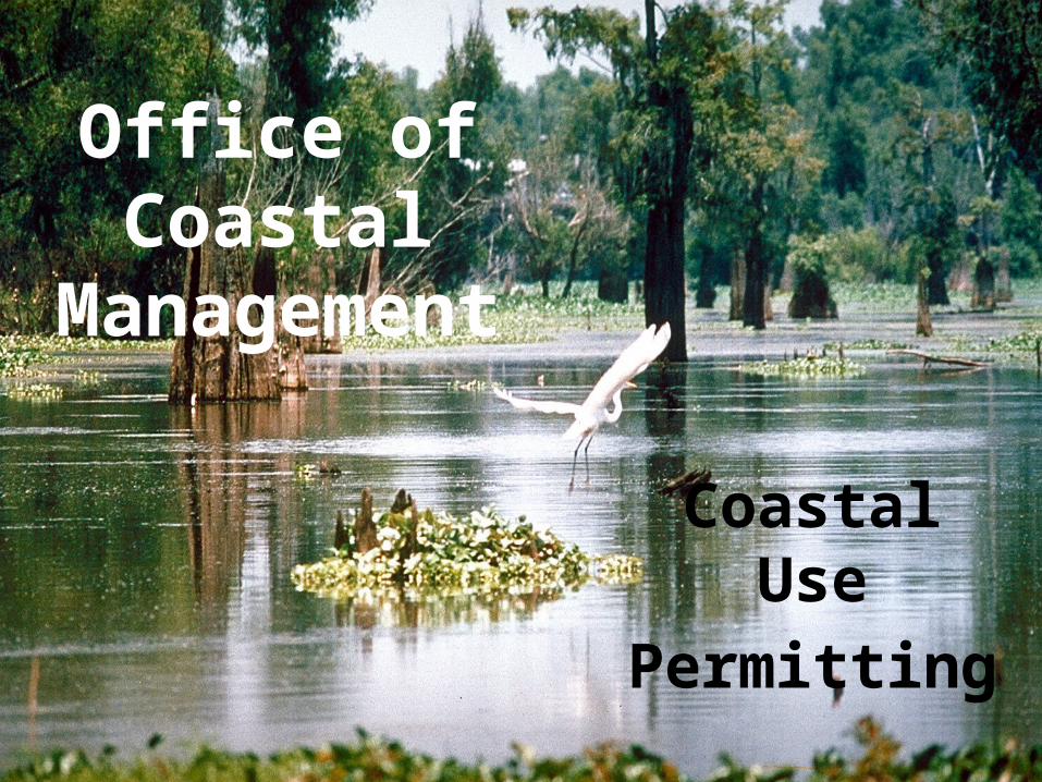
Office of Coastal
Management
Coastal Use
Permitting
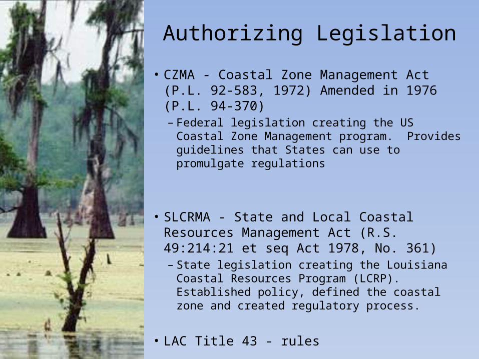
Authorizing Legislation
• CZMA - Coastal Zone Management Act (P.L. 92-583, 1972) Amended in 1976 (P.L. 94-370) – Federal legislation creating the US Coastal
Zone Management program. Provides guidelines that States can use to promulgate regulations
• SLCRMA - State and Local Coastal Resources Management Act (R.S. 49:214:21 et seq Act 1978, No. 361)– State legislation creating the Louisiana
Coastal Resources Program (LCRP). Established policy, defined the coastal zone and created regulatory process.
• LAC Title 43 - rules
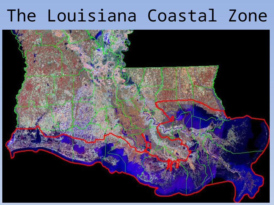
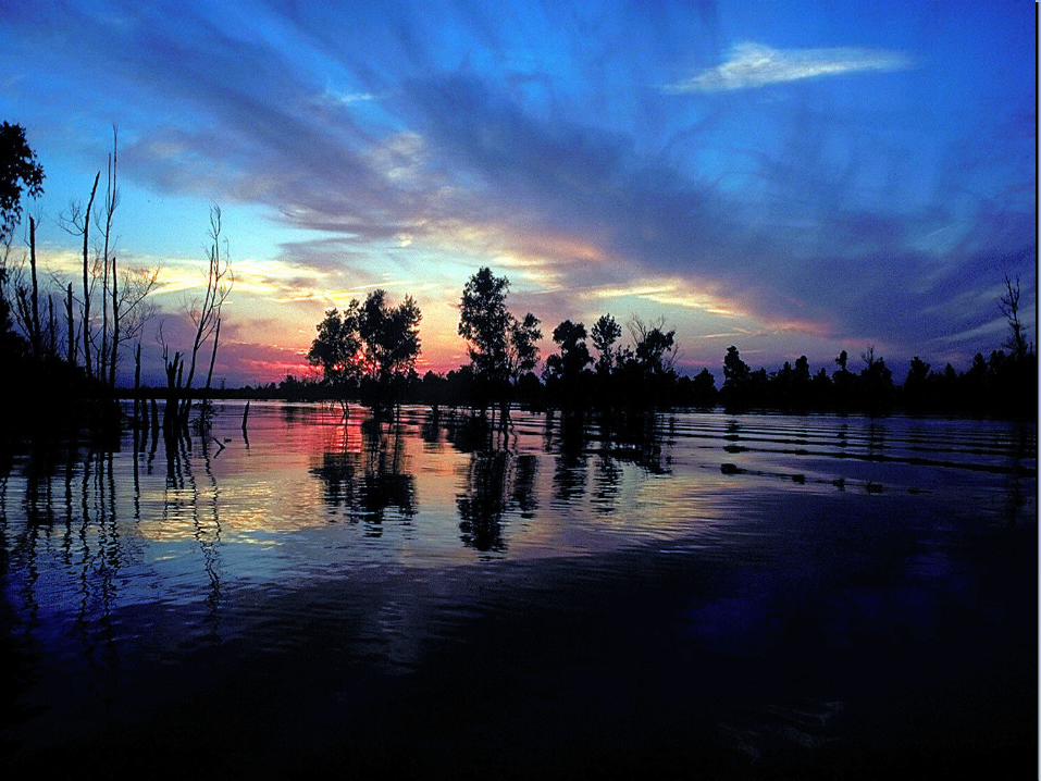
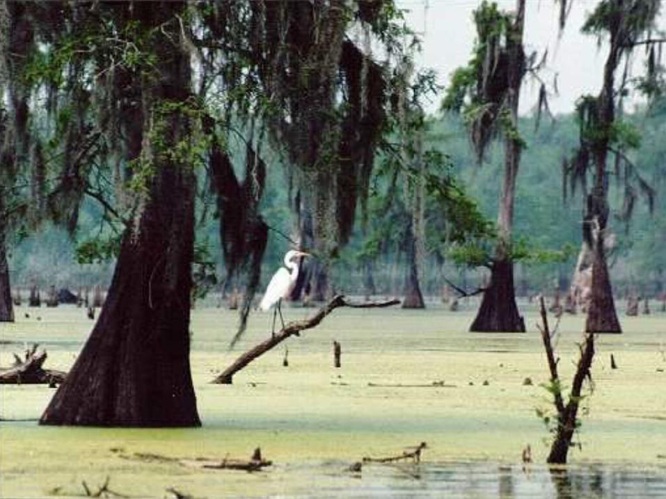
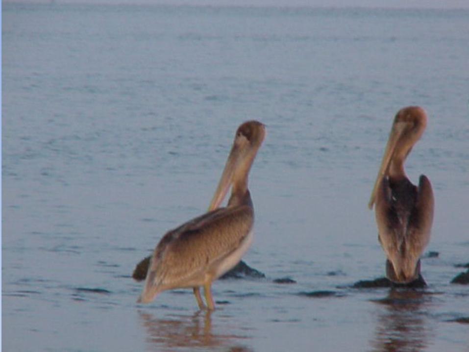
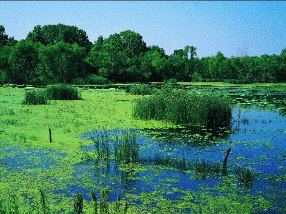
The Louisiana Coastal Zone
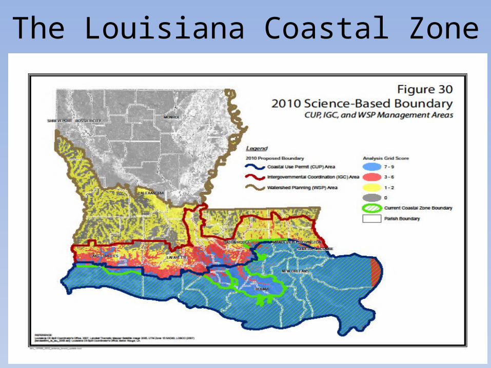
The Louisiana Coastal Zone
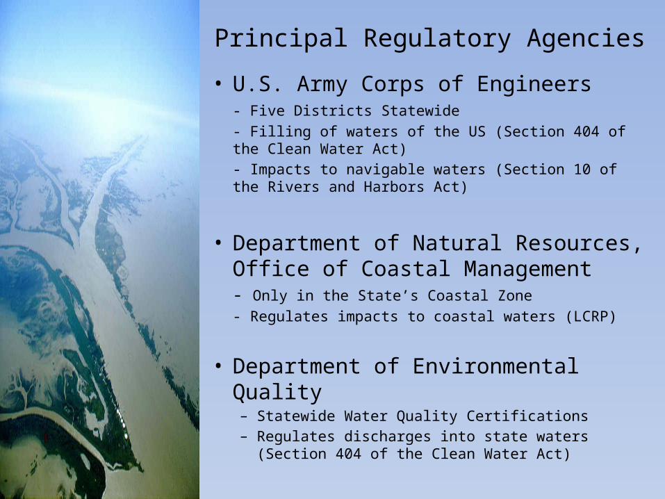
Principal Regulatory Agencies
• U.S. Army Corps of Engineers- Five Districts Statewide - Filling of waters of the US (Section 404 of the Clean Water Act)- Impacts to navigable waters (Section 10 of the Rivers and Harbors Act)
• Department of Natural Resources, Office of Coastal Management- Only in the State’s Coastal Zone- Regulates impacts to coastal waters (LCRP)
• Department of Environmental Quality– Statewide Water Quality Certifications– Regulates discharges into state waters (Section
404 of the Clean Water Act)
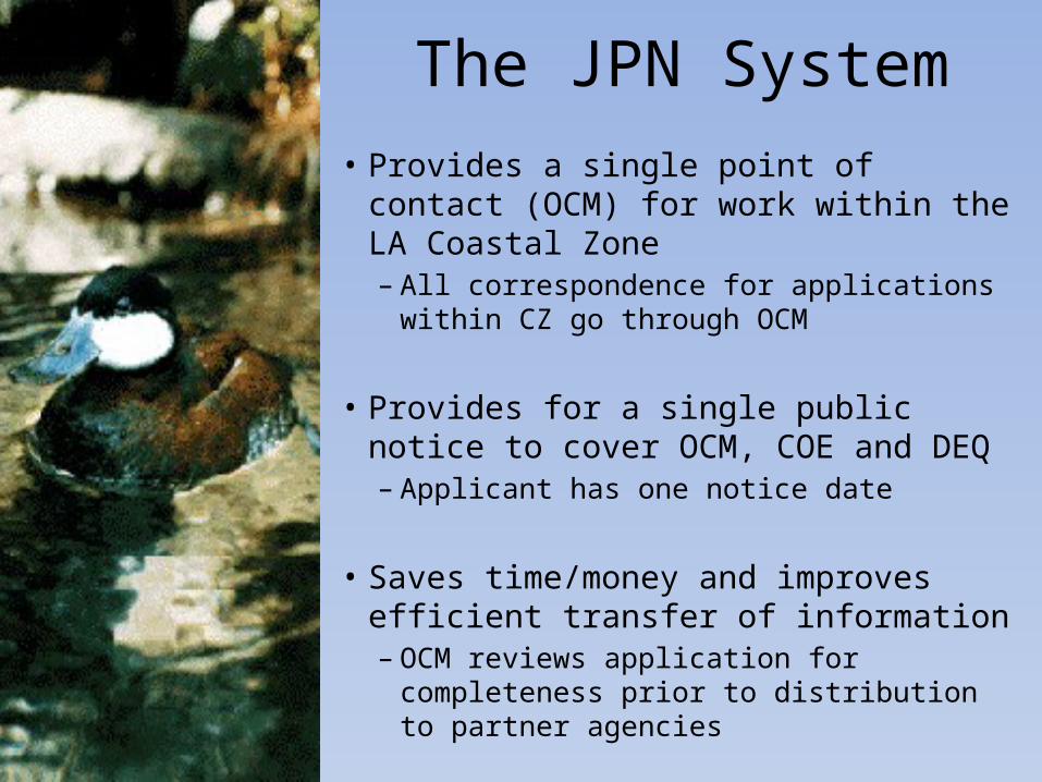
The JPN System• Provides a single point of contact
(OCM) for work within the LA Coastal Zone– All correspondence for applications
within CZ go through OCM
• Provides for a single public notice to cover OCM, COE and DEQ– Applicant has one notice date
• Saves time/money and improves efficient transfer of information– OCM reviews application for
completeness prior to distribution to partner agencies
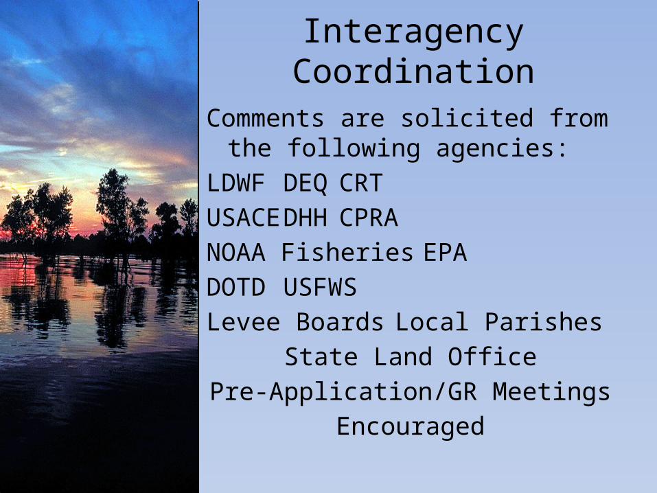
Interagency Coordination
Comments are solicited from the following agencies:
LDWF DEQCRTUSACE DHH CPRANOAA FisheriesEPADOTD USFWSLevee Boards Local Parishes
State Land OfficePre-Application/GR Meetings
Encouraged
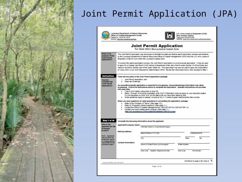
Joint Permit Application (JPA)
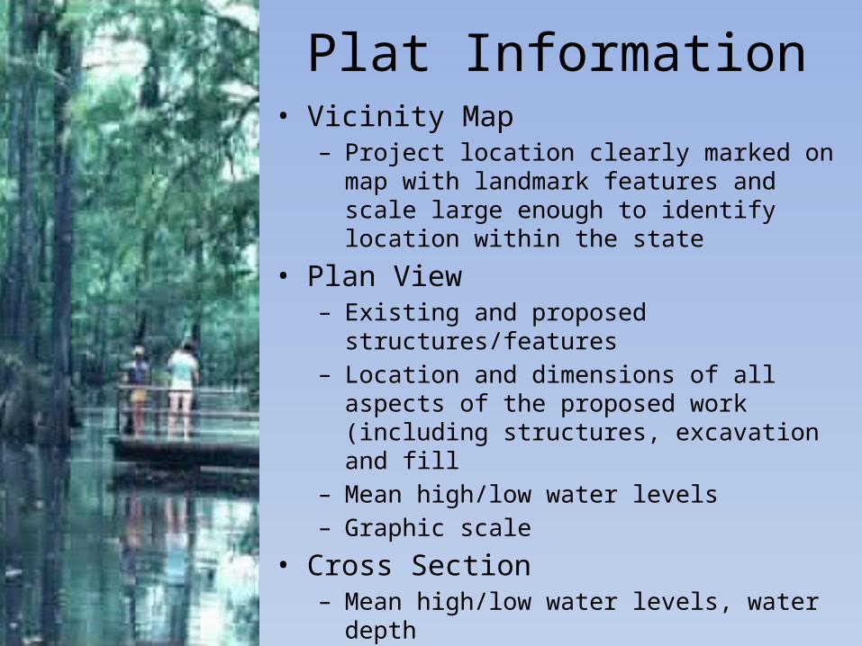
Plat Information• Vicinity Map
– Project location clearly marked on map with landmark features and scale large enough to identify location within the state
• Plan View– Existing and proposed
structures/features– Location and dimensions of all aspects
of the proposed work (including structures, excavation and fill
– Mean high/low water levels– Graphic scale
• Cross Section– Mean high/low water levels, water depth– Depth of dredging/Height of fill– Elevation of proposed
structures/features
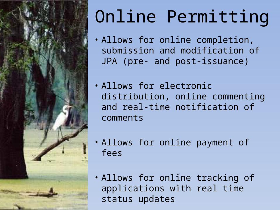
Online Permitting• Allows for online completion,
submission and modification of JPA (pre- and post-issuance)
• Allows for electronic distribution, online commenting and real-time notification of comments
• Allows for online payment of fees
• Allows for online tracking of applications with real time status updates
OCM’s Regulatory Role
Balance Development and Conservation
Balance Multiple Uses and Limited Coastal Resources
OCM Exemptions• Navigation Aids
• Single Family Residence or Camp
• Normal Maintenance and Repair
• Agriculture, Forestry, Aquaculture
• Hunting, Fishing, Trapping
• In fastlands or on lands above 5’ MSL
• Emergency Uses
All other uses require a Coastal Use Permit or determination from OCM
Permitted Activities• Oil and Gas Activities – well sites,
pipelines, production facilities, gas storage facilities (~60% of all applications)
• Commercial Activities – Walmart, mom and pop stores, boat docks, marinas, subdivisions
• Municipal Activities – utilities, roads, drainage, levees
• Industrial activities – refineries, steel mills, coal storage facilities, grain facilities
OCM Objectives
AVOIDCan adverse impacts to coastal
resources be avoided by relocating or redesigning project?
MINIMIZECan adverse impacts to coastal
resources be minimized by utilizing less damaging construction techniques?
Technical ReviewThorough review of a proposed coastal use and its impacts and benefits, which includes:
• Impact assessment– habitat type, extent of direct, indirect,
secondary and cumulative impacts
• Identification of sensitive features– oyster leases, restoration projects and
Master Plan features, endangered species, Scenic Rivers
• Justification and Alternatives Analyses
• Mitigation of unavoidable impacts
Coastal Use GuidelinesAll uses must be in conformance with all applicable Guidelines in order to be considered for approval
§701.A-G Guidelines applicable to all uses– General factors necessary to evaluate
project (type, nature and location, feasible alternatives, economic need, coastal water dependency)
§701.H Maximum Extent Practicable “MEP” modifier criteria
§701.I Promote Concurrent Uses while eliminating conflicts
§703-§719 cover specific types of uses such as surface alterations, linear features, sediment transport mechanisms, mineral related activities
Alternatives and Justification(NAJ)
• Alternate locations and/or methods must be addressed by applicant to avoid and/or minimize adverse impacts to coastal resources
• Justification demonstrating the need and/or public demand for the goods and/or services must be provided by applicant
• Availability of less damaging alternatives and/or inadequate justification can result in denial of permit
• If least damaging feasible site is used and applicant has provided sufficient documentation to demonstrate a need or demand, permit can be issues as long as the applicant provides adequate mitigation
• A willingness by the applicant to mitigate does not relieve OCM of the responsibility of addressing alternatives and justification
MitigationCompensatory mitigation is legislatively required replacement, substitution, enhancement or protection of ecological values to offset anticipated losses of ecological values caused by a permitted activity
• Is based on the “habitat value” to be lost NOT on the acreage of the project impacts
• Can be accomplished by individual mitigation projects, purchasing credits from an approved mitigation bank, contribution to the Coastal Restoration Trust Fund
• Landowner has first right to require mitigation be performed on their property, however timely request must be made or rights are waived.
• Cause of most permitting delays due to coordination requirements and lack of available options
OCM Initiatives
• Public Notice Procedures– Email distribution of notices to mailout
list– Rework of notice format sent to paper
for publication– Resulted in reduced cost and more
efficient transfer of information
• Beneficial Use of Dredged Material– 4 options, no ranked order, must select
one option– Went from 22% to 100%– Constructed projects will require OCM
monitoring for success
OCM Initiatives
• NAJ Guides– Categories of Uses (subdivisions, marinas,
pipelines, municipal activities, ports, commercial/industrial sites)
– Tiered approach – less impact, less information needed
• Permit Conditions and Compliance– Conditions added in order to bring project
in compliance with LCRP. If conditions not met, the project is in non-compliance
• Spill Prevention Compliance Statement– Required for all exploration and
production facilities (excluding pipelines)
OCM Contacts
Karl Morgan, OCMPMD Administrator
Christine Charrier, OCM/PMD – Permits Program Manager
Kelley Templet, OCM/PMD – Mitigation Program Manager