Embed Size (px)
Citation preview

Open Data for monitoring to Improve Natural Resource
Governance
Tanintharyi Natural Resource Watch Portal Tar Yar Maung
Community and NGOs’ role in spatial data verification and validation
Myanmar Spatial Data Platform Conference
17 May 2016 Su Zee Yar MICC2
Project Overview Area : Tanintharyi Region Pilot in Dawei – Large Scale Mining Target Issues - Mining - Forest - Industrial Agriculture - Energy - Mega Development - Fishery & Agriculture - Others Stakeholders Agents : Local Communities and Local Civil societies Government : Natural resources and environmental conservation Ministry Other related ministry and government officials in Tanintharyi Academic sector : Myeik University, individual technical experts & Professional technician from international and national organization
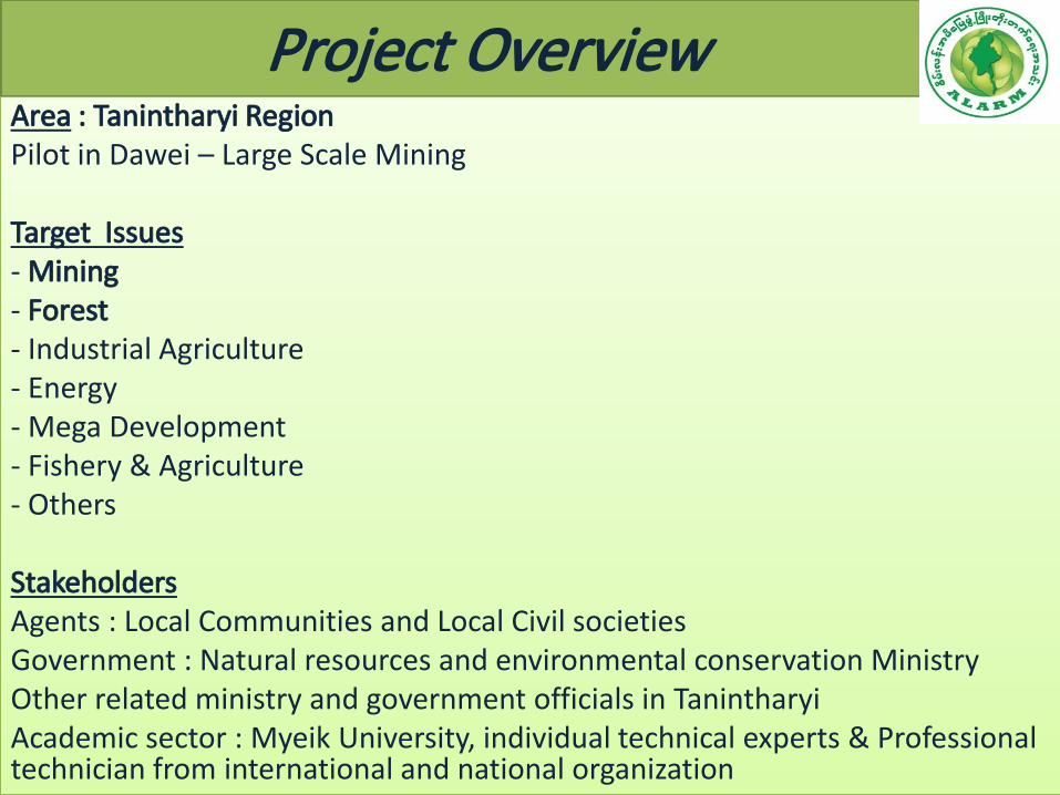
Why we start in Tanintharyi?
• Tanintharyi – highest incident of land conflict in Myanmar • Biodiversity forest and archipelago • Conflict area KNU • Highlight the issues • Gov’t not release any data spatial • Information black hole (concessions etc) • Touted for mega investment
o Coal o Mining o SEZ o Oil palm o Tourism o Etc
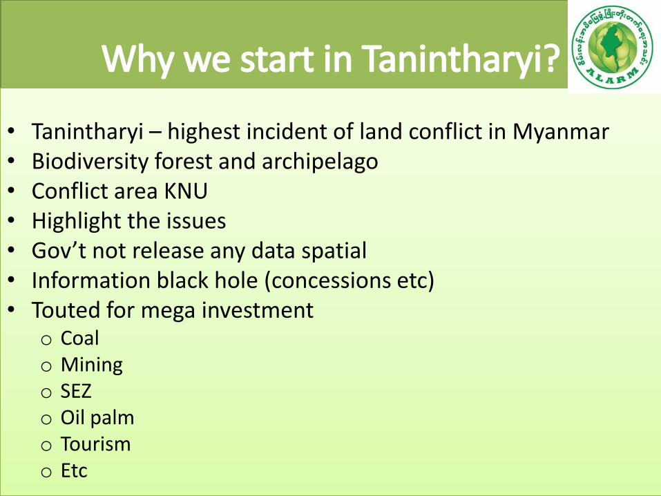
Purposes
To create a space where data relating to land and resources can be crowd sourced and visualized. To use as a monitoring and advocacy tool to put data in the public domain for taking action such as policy change - Spatial data; - Narrative data; - Documents; -

Remote Study objectives
• Study on forest cover and deforestation
–Overall forest cover and forest cover change
–Identification of deforestation hotspots
–Patterns of deforestation
• Using open source tools
–Landsat Imagery
–Analysis in QGIS and R

Activities relating to setting up a system, integrating data
Spatial Data
Remote Sensing Work through Satellite Image
Secondary Information from other organizations and government
Other research and report as well as documentations by technicians
Crowd Sourcing
Using Mobile Application
Using GPS for measuring land and mapping
Using UVA/Drone for land mapping
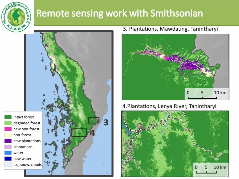
Remote sensing work with Smithsonian

Technical Content

Crowd Sourcing


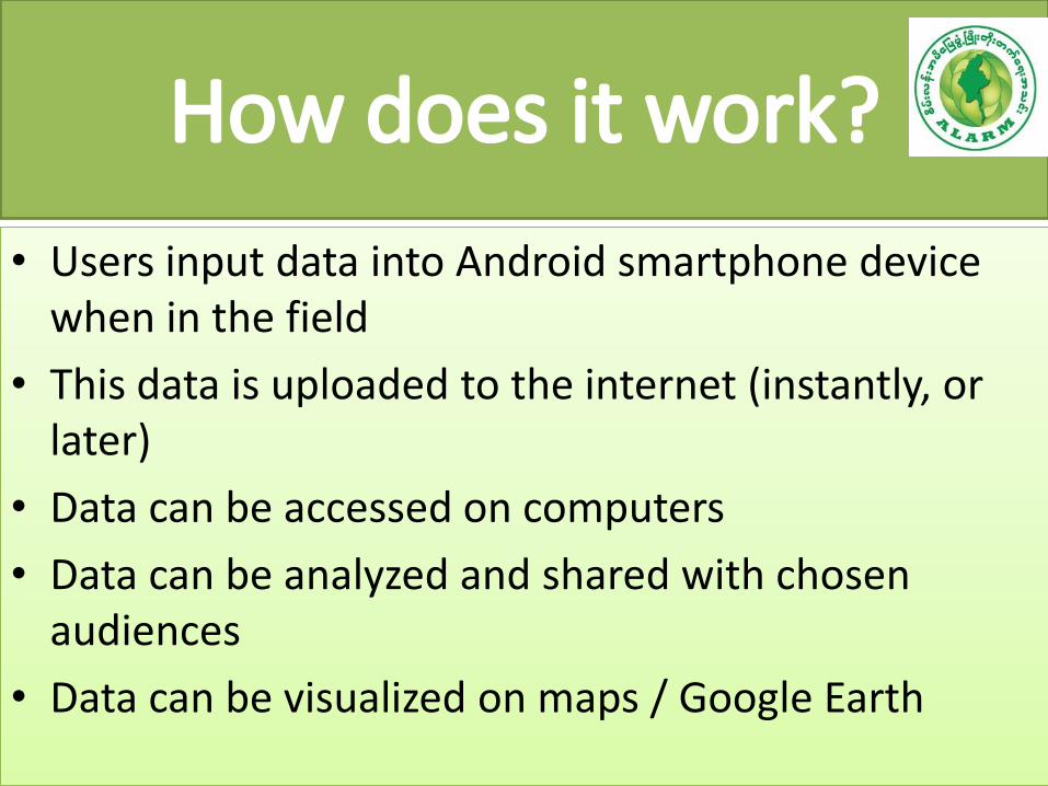
How does it work?
• Users input data into Android smartphone device when in the field
• This data is uploaded to the internet (instantly, or later)
• Data can be accessed on computers
• Data can be analyzed and shared with chosen audiences
• Data can be visualized on maps / Google Earth

New results as a result of community engagement
Oil Palm Concession Data

TANINTHARYI NATURAL RESOURCE WATCH : TNRW


Challenges and areas to coordinate or
collaborate
Security Dual Administration & Two different policies Very weak in Law Enforcement Lack of participation from government departments Lack of Transparency Limited Transportation No communication access ( Internet & phone )

Upcoming activities/next steps
Web Launching & Press Conference
Advocacy to State ministry, parliament, government departments and related stakeholders
Pilot in Dawei Mines for six months
Expanding to other issues in Dawei District
Expanding to Myeik & Kawtthaung District
Consultation session with multi-stakeholders for upcoming issue
Reporting and Public Hearing Session

Opportunities • Submission of credible, live data to (progressive)
enforcement agencies relating to Natural Resources Issues such as; – Land conversion – Illegal logging – Mining Concession
• Visualizing data for a broader audience/media campaigns
• Visualizing impacts of spatial plan revisions • Reduce the natural resource conflict issue through
multi-stakeholder consultation approach • Platform for public space to create public hearing
session especially indigenous people