Embed Size (px)
Citation preview

Part One: Introduction and Federal GIS Response


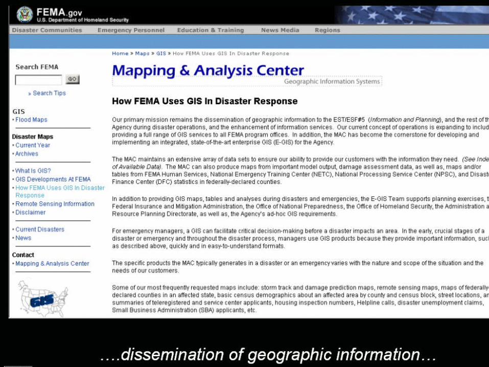

Some of their most frequently requested maps include:
Remote sensing maps
Maps of federally-declared counties in an affected state
Basic census demographics (county and census block)
Street locations
Helpline calls
Non-bioterrorism: hurricane tracks, disaster unemployment claims, Small Business Administration (SBA) applicants, etc.

Soon after the disaster event, FEMA managers and staff use GIS to visualize actual damages by analyzing collected aerial reconnaissance and ground truth data. Using GIS, MAC customers (i.e. Disaster Field Office (DFO), Emergency Support Team (EST) personnel, etc.) can see the spatial extent of damage, learn who was affected by the disaster and which resources were affected. Management and staff can then use this data to distribute resources and coordinate with other federal and state agencies and organizations. Staff from the Federal Insurance and Mitigation Administration (FIMA) and other offices often use GIS produced EPA Super Fund Site and Repetitive Loss Claim Maps for information and planning purposes.
From their website…
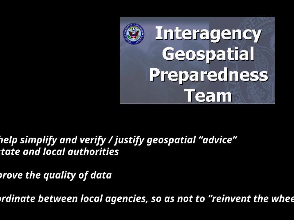
To help simplify and verify / justify geospatial “advice” to state and local authorities
Improve the quality of data
Coordinate between local agencies, so as not to “reinvent the wheel”
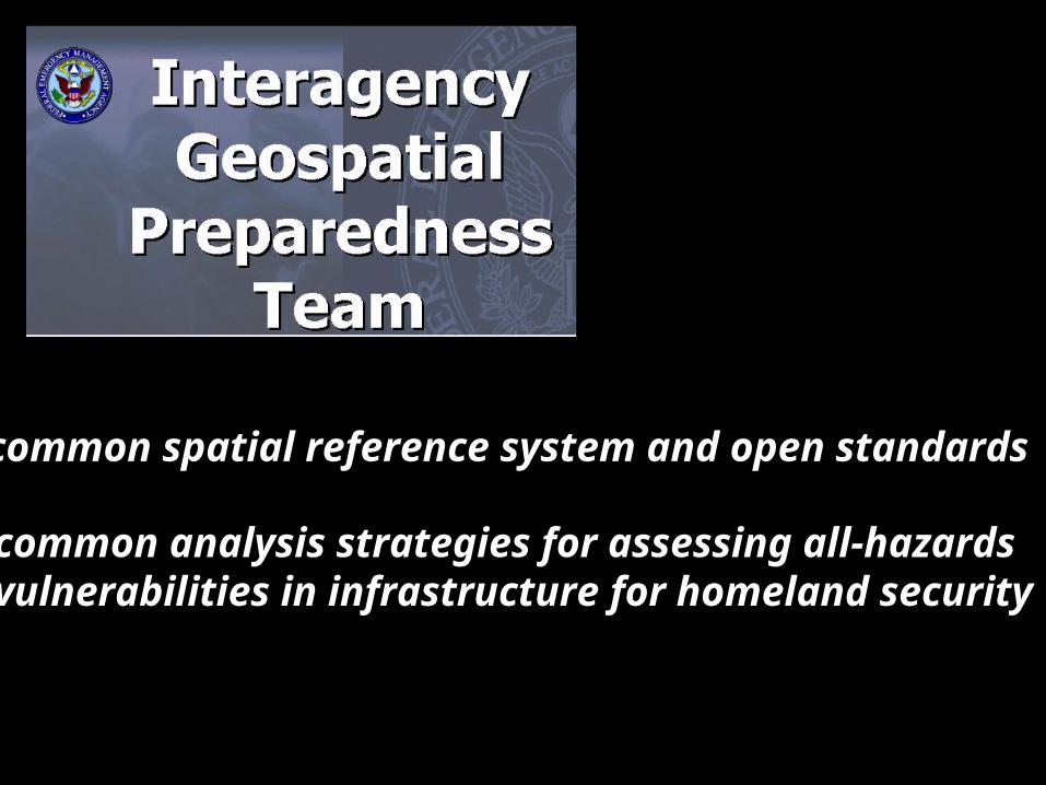
common spatial reference system and open standards
common analysis strategies for assessing all-hazardsvulnerabilities in infrastructure for homeland security

GIS Objectives in a BT Attack
1: To understand if an attack had happened, or in keeping with an “all-hazard” approach, to understand if a disease outbreak had occurred.
2: To understand where this outbreak had occurred, and where subsequent infections were occurring, or would likely occur. 3: To understand the methods of diffusion – such as transport arteries and infrastructure hubs (for example hospitals) so that spread patterns could be predicted.

4: To provide a means for field validation and outbreak updates that could be used to verify and further inform the first three points.
5: To provide a spatial information system that could coordinate and direct limited resources in response and recovery operations.
GIS Objectives in a BT Attack