Embed Size (px)
Citation preview
PLANETARY LANDFORM IDENTIFICATION AND LANDSCAPE EVALUATION USING FLOWCHARTS
• Henrik Hargitai
• Eotvos Lorand University Budapest Hungary
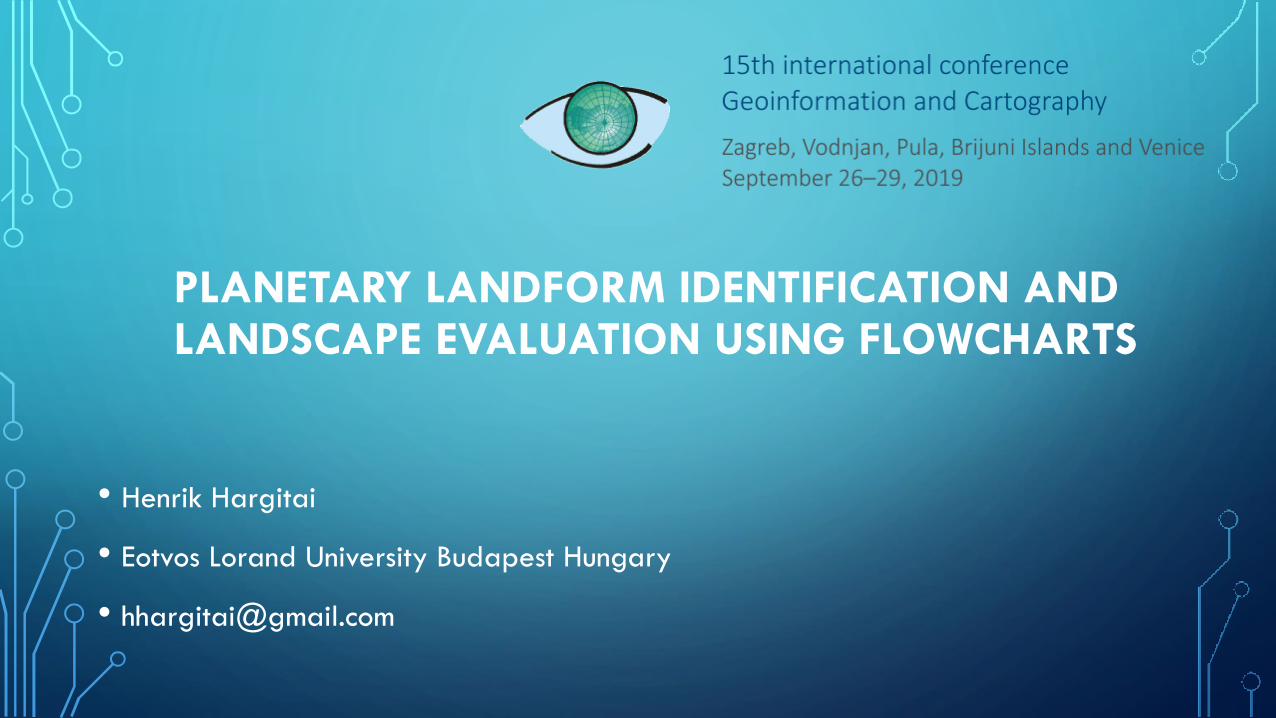
LANDFORM IDENTIFICATION
• Based on multiparameter evaluation
• shape (linear/circular etc)
• topography (elevation/depression/none)
• albedo (bright/dark)
• radar
• ...and their variations
• Advantage:
• Simple technical
decision tree can lead
to correct landform
identification
• Identification of a
morphology may not
have implications of a
single origin (process)
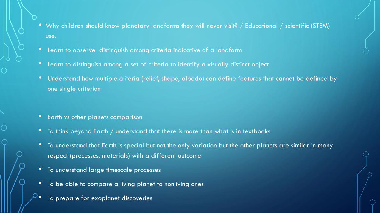
• Why children should know planetary landforms they will never visit? / Educational / scientific (STEM)
use:
• Learn to observe distinguish among criteria indicative of a landform
• Learn to distinguish among a set of criteria to identify a visually distinct object
• Understand how multiple criteria (relief, shape, albedo) can define features that cannot be defined by
one single criterion
• Earth vs other planets comparison
• To think beyond Earth / understand that there is more than what is in textbooks
• To understand that Earth is special but not the only variation but the other planets are similar in many
respect (processes, materials) with a different outcome
• To understand large timescale processes
• To be able to compare a living planet to nonliving ones
• To prepare for exoplanet discoveries
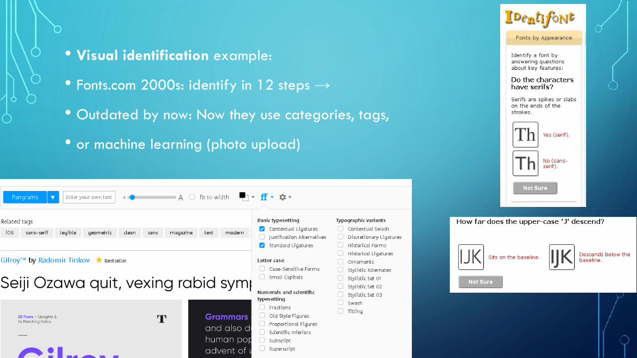
• Visual identification example:
• Fonts.com 2000s: identify in 12 steps →
• Outdated by now: Now they use categories, tags,
• or machine learning (photo upload)
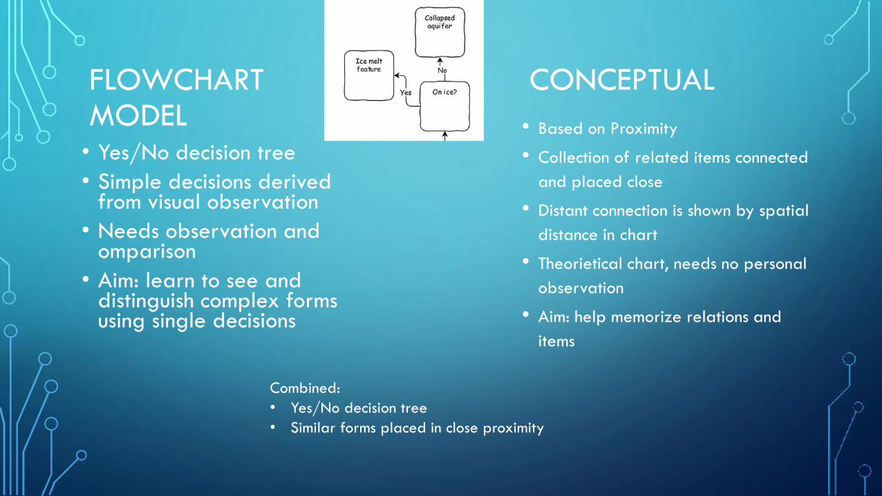
FLOWCHART CONCEPTUALMODEL • Based on Proximity
• Collection of related items connected
and placed close
• Distant connection is shown by spatial
distance in chart
• Theorietical chart, needs no personal
observation
• Aim: help memorize relations and
items
• Yes/No decision tree
• Simple decisions derivedfrom visual observation
• Needs observation and omparison
• Aim: learn to see and distinguish complex formsusing single decisions
Combined:
• Yes/No decision tree
• Similar forms placed in close proximity
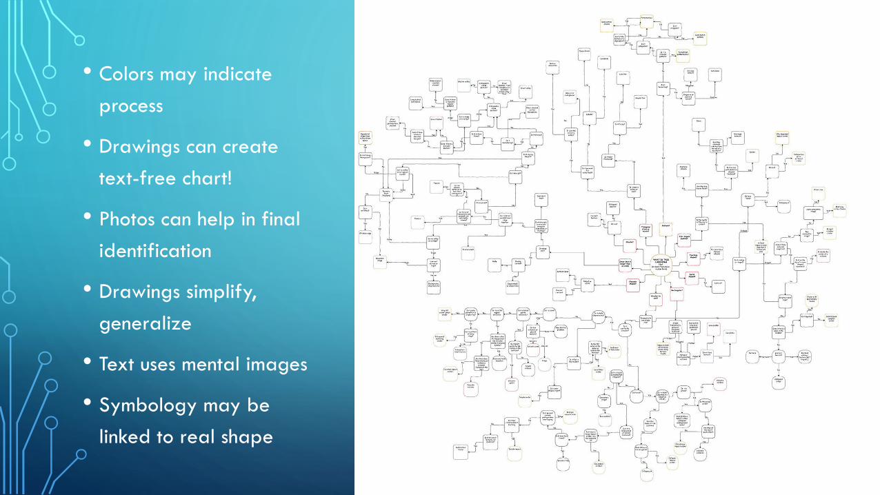
• Colors may indicate
process
• Drawings can create
text-free chart!
• Photos can help in final
identification
• Drawings simplify,
generalize
• Text uses mental images
• Symbology may be
linked to real shape

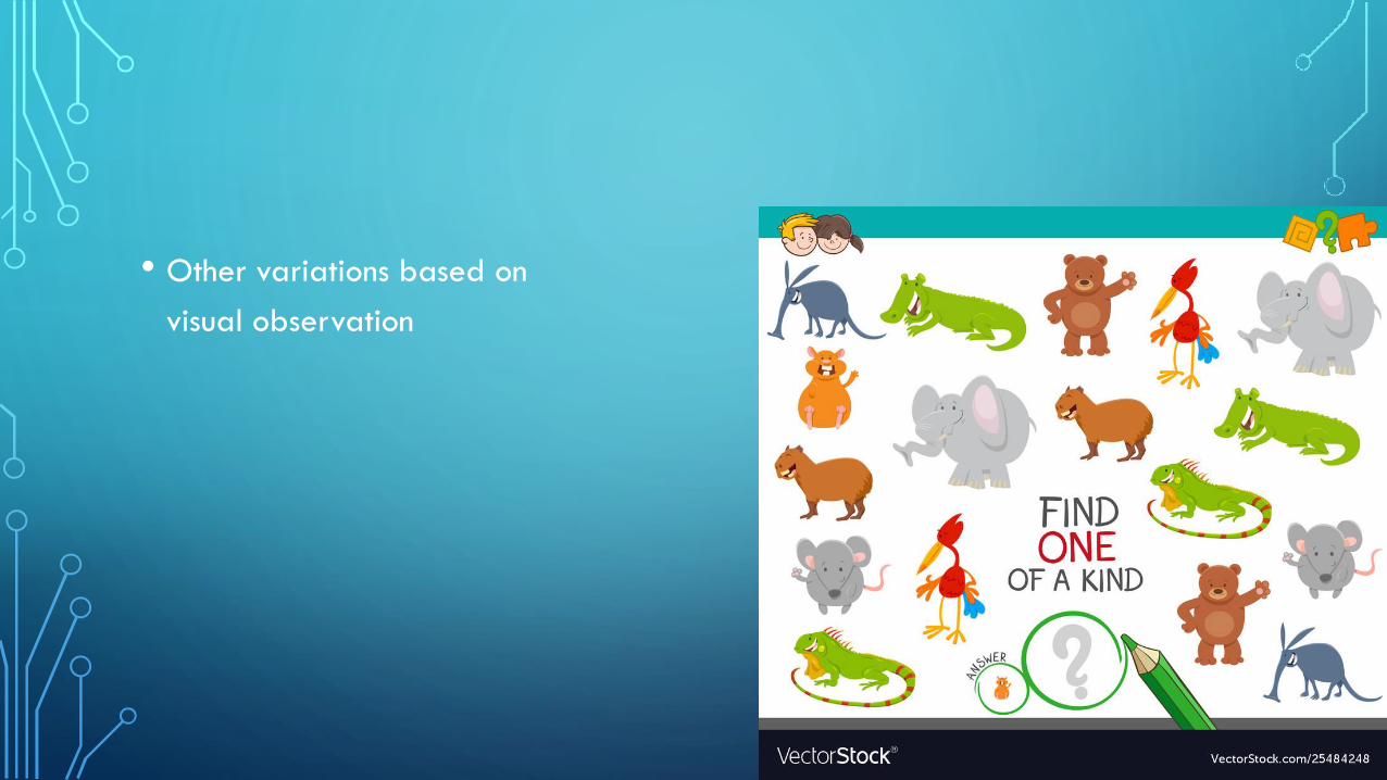
• Other variations based on
visual observation

• Thank you
• Maps: planetarymapping.wordpress.com
• Children’s maps: childrensmaps.wordpress.com