Embed Size (px)
Citation preview

SVAMITVA SCHEMEPROCEDURE/PRACTICE ADOPTED
inUTTAR PRADESH (UP). - By Rajiv Srivastava
Director Uttar Pradesh (East) Geo-Spatial Data Centre
OUTLINE
• Inroduction
• Pre-Drone Survey
• Drone Survey
• Post Drone Survey
• Challenges & Way forward
INTRODUCTION
• MoU signed on 8th June, 2020.
• Earlier 1,08,000 villages in all 75 districts were to becompleted which is now revised to 69,766 villages.
• Huge task of UP is being done by Lucknow, Delhi &Dehradun offices of SoI. Few activities are also beingcontributed by other SoI offices located at differentplaces of India.
• Presently, nearly 60 drones teams are engaged indifferent districts of UP.
• Drone Survey (Flying) of 30,861 Villages has beencompleted till 11th Sept’ 2021.
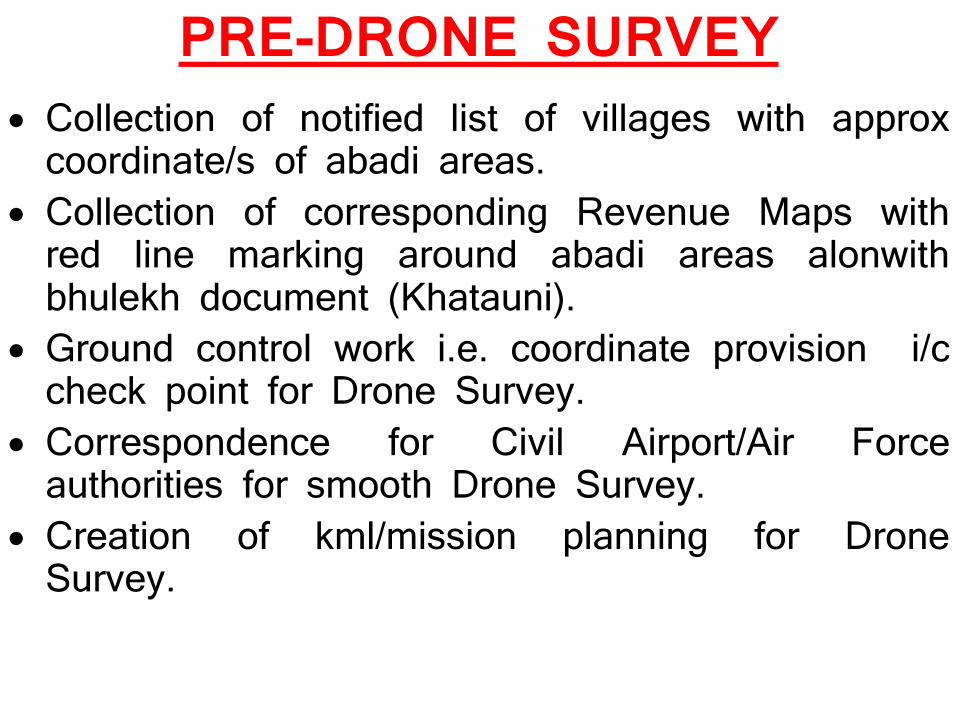
PRE-DRONE SURVEY• Collection of notified list of villages with approxcoordinate/s of abadi areas.
• Collection of corresponding Revenue Maps withred line marking around abadi areas alonwithbhulekh document (Khatauni).
• Ground control work i.e. coordinate provision i/ccheck point for Drone Survey.
• Correspondence for Civil Airport/Air Forceauthorities for smooth Drone Survey.
• Creation of kml/mission planning for DroneSurvey.

DRONE SURVEY• Ensure from village representative of StateGovt that chuna marking of village is done.
• Drone Survey in PPK mode is carried outafter ATC approval as per SoP.
• Checking of flying data.• Geo-tagging of drone captured data.• Storing of raw data in external hard disk tobe sent to SoI office.
POST DRONE SURVEY
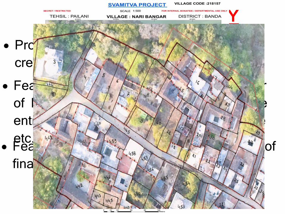
• Feature extraction(FE1.0) & handing over of Map1.0 print in to districts for attribute entry like parcel/property no, new feature etc.
• Feature Extraction(FE2.0) and uploading of final property data on UP State portal.
• Processing of geo-tagged drone data & creation of ORI and DEM.
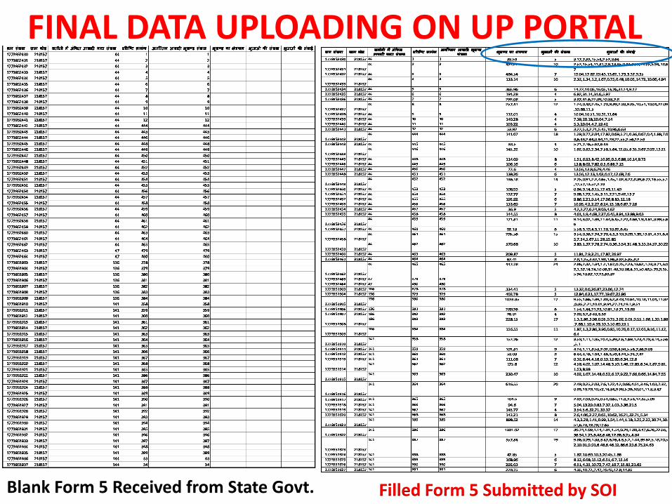
FINAL DATA UPLOADING ON UP PORTAL
Filled Form 5 Submitted by SOIBlank Form 5 Received from State Govt.
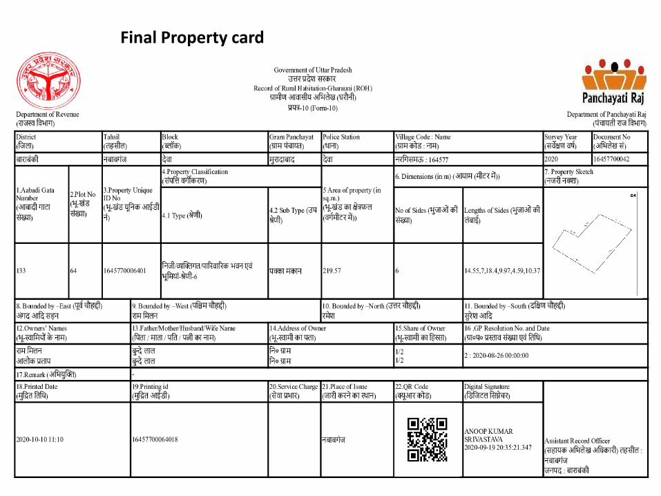
Final Property card
Final Property card
CHALLENGES & WAY FORWARD
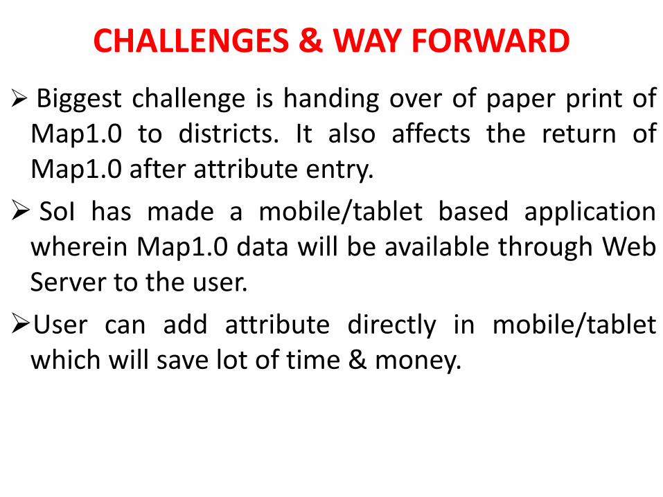
➢ Biggest challenge is handing over of paper print ofMap1.0 to districts. It also affects the return ofMap1.0 after attribute entry.
➢ SoI has made a mobile/tablet based applicationwherein Map1.0 data will be available through WebServer to the user.
➢User can add attribute directly in mobile/tabletwhich will save lot of time & money.

THANK YOU
SVAMITVA and SOI(Best practices adopted in the state of MP)
Presented by : Sh Sandeep Shrivastava, Director Madhya
Pradesh Geo-Spatial Data Centre
Jabalpur
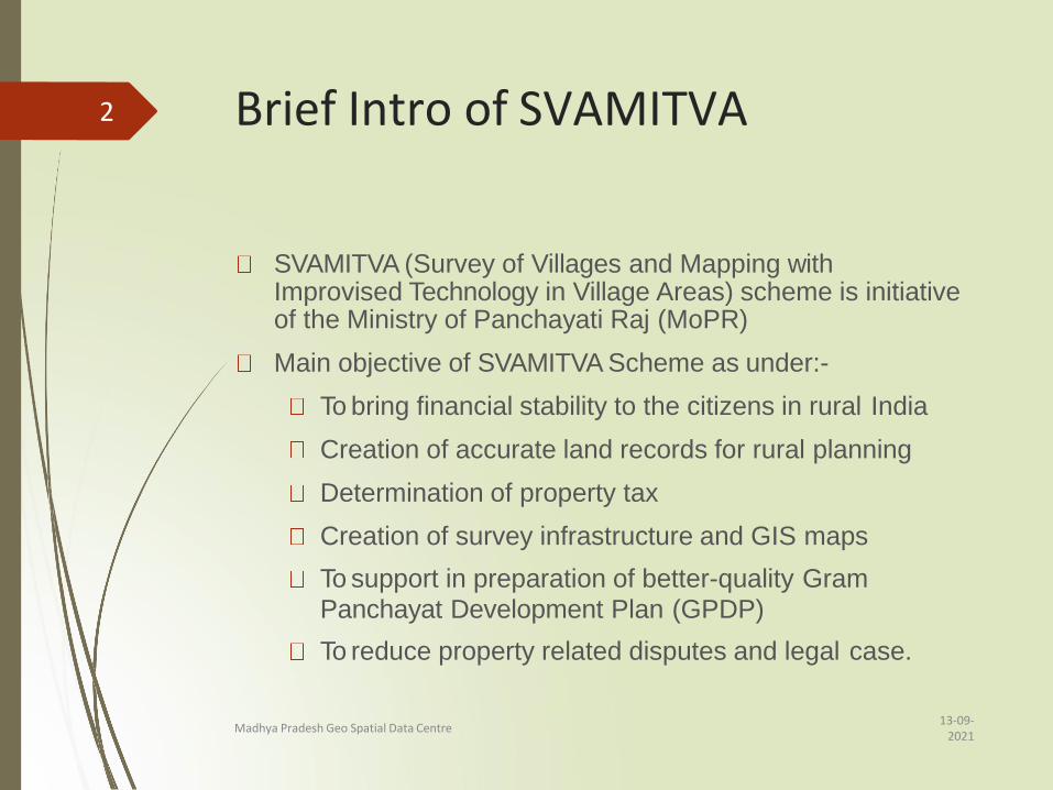
Brief Intro of SVAMITVA
13-09-2021
Madhya Pradesh Geo Spatial Data Centre
SVAMITVA (Survey of Villages and Mapping with Improvised Technology in Village Areas) scheme is initiative of the Ministry of Panchayati Raj (MoPR)
Main objective of SVAMITVA Scheme as under:-
To bring financial stability to the citizens in rural India
Creation of accurate land records for rural planning
Determination of property tax
Creation of survey infrastructure and GIS maps
To support in preparation of better-quality GramPanchayat Development Plan (GPDP)
To reduce property related disputes and legal case.
2
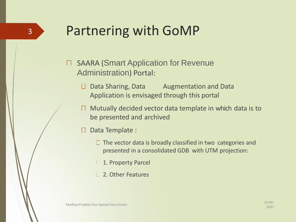
Partnering with GoMP
13-09-2021
Madhya Pradesh Geo Spatial Data Centre
SAARA (Smart Application for Revenue
Administration) Portal:
Data Sharing, Data Augmentation and Data Application is envisaged through this portal
Mutually decided vector data template in which data is to be presented and archived
Data Template :
The vector data is broadly classified in two categories and presented in a consolidated GDB with UTM projection:
1. Property Parcel
2. Other Features
3
Partnering with GoMP contd.
13-09-2021
Madhya Pradesh Geo Spatial Data Centre
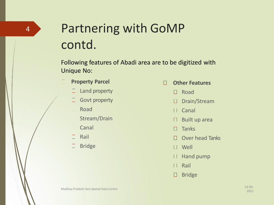
Property Parcel
Land property
Govt property
Road
Stream/Drain
Canal
Rail
Bridge
Other Features
Road
Drain/Stream
Canal
Built up area
Tanks
Over head Tanks
Well
Hand pump
Rail
Bridge
Following features of Abadi area are to be digitized withUnique No:
4
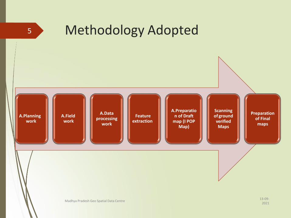
Methodology Adopted
A.Planning work
A.Field work
A.Data processing
work
Feature extraction
A.Preparatio n of Draft
map (I POP Map)
Scanning of ground verified Maps
Preparation of Final maps
13-09-2021
Madhya Pradesh Geo Spatial Data Centre
5
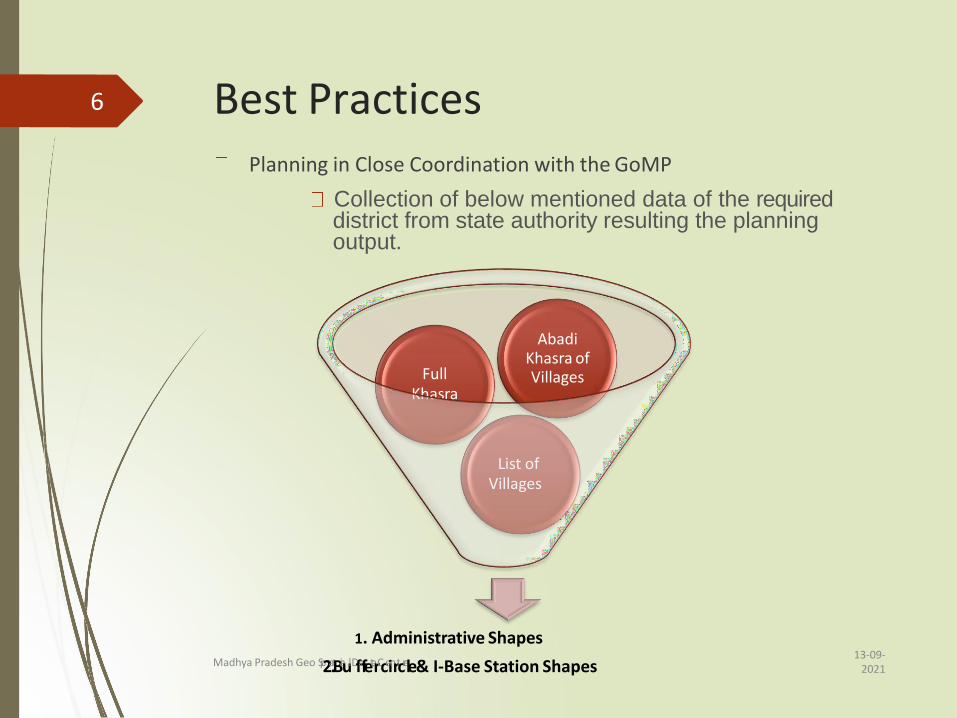
Best PracticesPlanning in Close Coordination with the GoMP
Collection of below mentioned data of the required district from state authority resulting the planning output.
1. Administrative Shapes
List ofVillages
FullKhasra
Abadi Khasra of Villages
6
13-09-2021
Madhya Pradesh Geo Sp2a.tBiaulDfafetarCceinrtcrele & I-Base Station Shapes
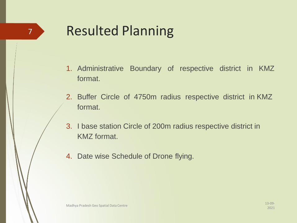
Resulted Planning
13-09-2021
Madhya Pradesh Geo Spatial Data Centre
1. Administrative Boundary of respective district in KMZ
format.
2. Buffer Circle of 4750m radius respective district in KMZ
format.
3. I base station Circle of 200m radius respective district in
KMZ format.
4. Date wise Schedule of Drone flying.
7
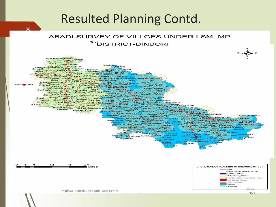
Resulted Planning Contd.
13-09-2021
Madhya Pradesh Geo Spatial Data Centre
8

Scheduling Drone Flying
➢ Prior sharing of Drone Flying Schedule facilitate theconcerned administration in:• Registering the case on SAARA Portal• Chunna / Lime Marking thereafter
13-09-2021
Madhya Pradesh Geo Spatial Data Centre
9
Field Work: Chunna Marking
13-09-2021
Madhya Pradesh Geo Spatial Data Centre
Determining the outer limits of the Abadi Areaby
lime/Chunna marking
To separate Abadi area from the limit of Non Abadi area as
per the revenue records
Determining the limits of Abadi plot area by lime/Chunna
marking
Limits of property of residents including their built up and
non built up area such as fencing, should be marked by
chunna atleast 2 days before the Drone survey.
Ensure that Govt/Public property has perfectly been marked.
After Chunna Marking by state officials, field hand will
verify for any missing Khasra for chunna marking prior to
flying.
10
Field Work: Drone data acquisition and field progress tracking
13-09-2021
Madhya Pradesh Geo Spatial Data Centre
Drone data acquisition with below mentioned specification
Altitude: 120 m
Side Overlap: 70%
Forward Overlap: 80%
Entry Extension: 30 m
Exit Extension: 30 m
Skip waypoint: 0
Terrain following (Above max. leg altitude)
Data and Progress submission
Inserting daily progress in Pragati Portal
Uploading GNSS observed data via google form to the office
Submission of acquired Drone data and various log forms to office on weekly basis either via NIC datacenters or courier duties
11
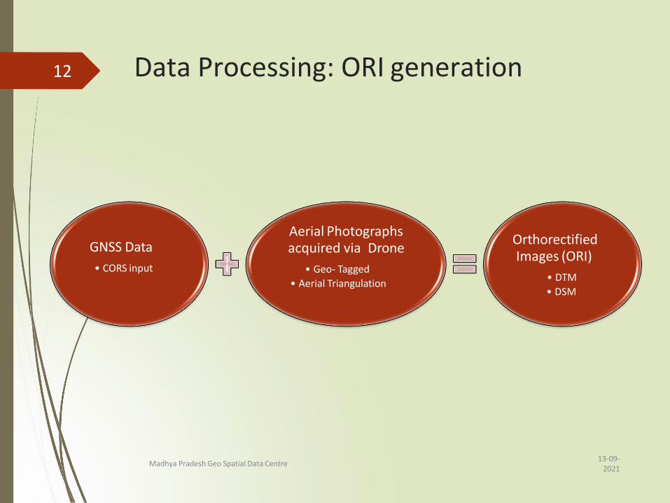
Data Processing: ORI generation
GNSS Data
• CORS input
Aerial Photographs acquired via Drone
• Geo- Tagged
• Aerial Triangulation
Orthorectified Images (ORI)
• DTM
• DSM
13-09-2021
Madhya Pradesh Geo Spatial Data Centre
12
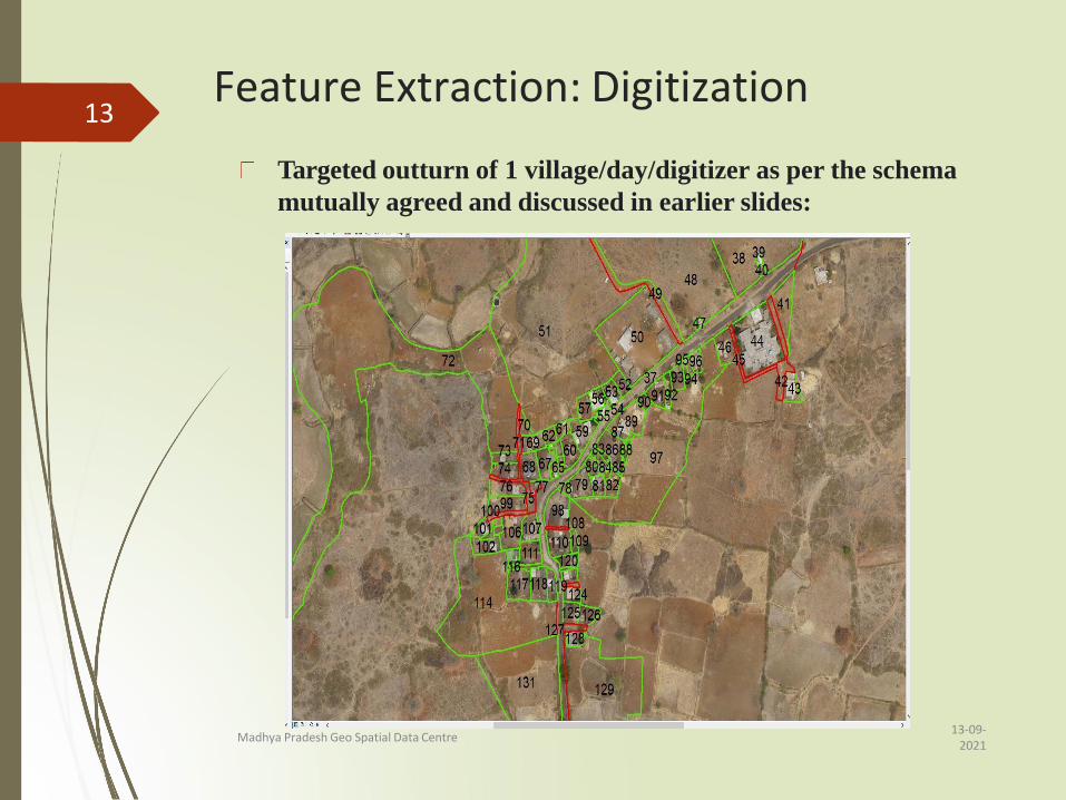
Feature Extraction: Digitization
Targeted outturn of 1 village/day/digitizer as per the schema
mutually agreed and discussed in earlier slides:
13
13-09-2021
Madhya Pradesh Geo Spatial Data Centre
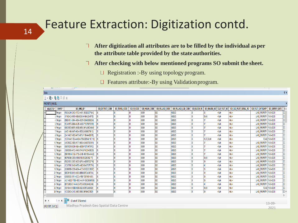
Feature Extraction: Digitization contd.
After digitization all attributes are to be filled by the individual as per
the attribute table provided by the stateauthorities.
After checking with below mentioned programs SO submit the sheet.
Registration :-By using topology program.
Features attribute:-By using Validationprogram.
14
13-09-2021
Madhya Pradesh Geo Spatial Data Centre

Draft Map (Ist POP) Submission
13-09-2021
Madhya Pradesh Geo Spatial Data Centre
Printing and supply of Draft Map to state
authorities for Ground Truthing.
Following files/ maps are submitted to the
state authorities:
1. Completed .gdb files
2. mxd file of digitization
3. Temp file
4. tpk file on scale of 1:250K
5. Map exported in pdf format.
15
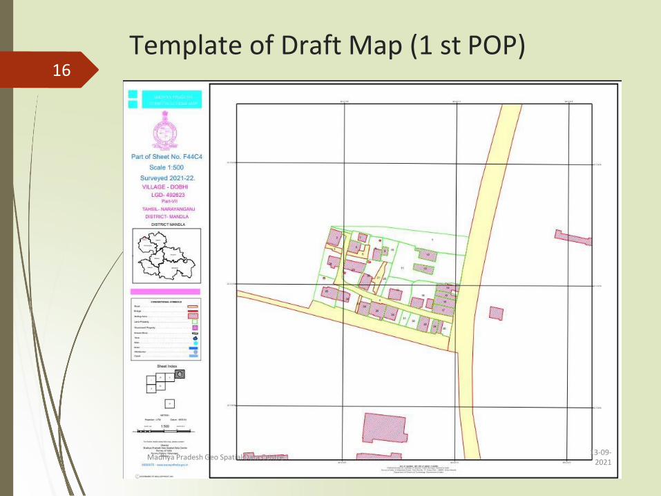
Template of Draft Map (1 st POP)16
13-09-2021
Madhya Pradesh Geo Spatial Data Centre
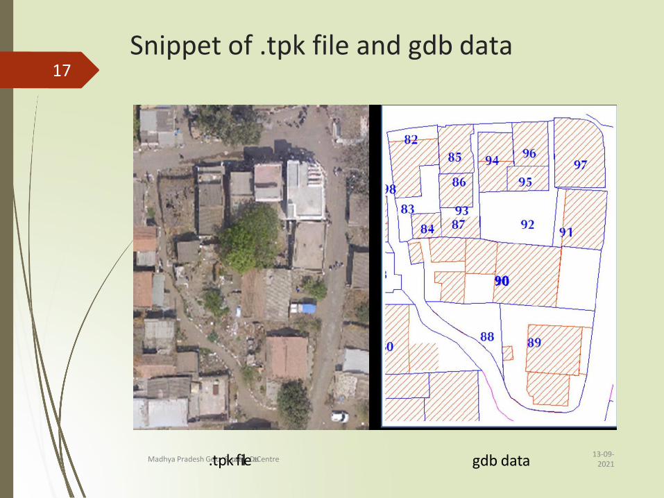
Snippet of .tpk file and gdb data17
13-09-2021
Madhya Pradesh G.etopSkpatfiailleData Centre gdb data
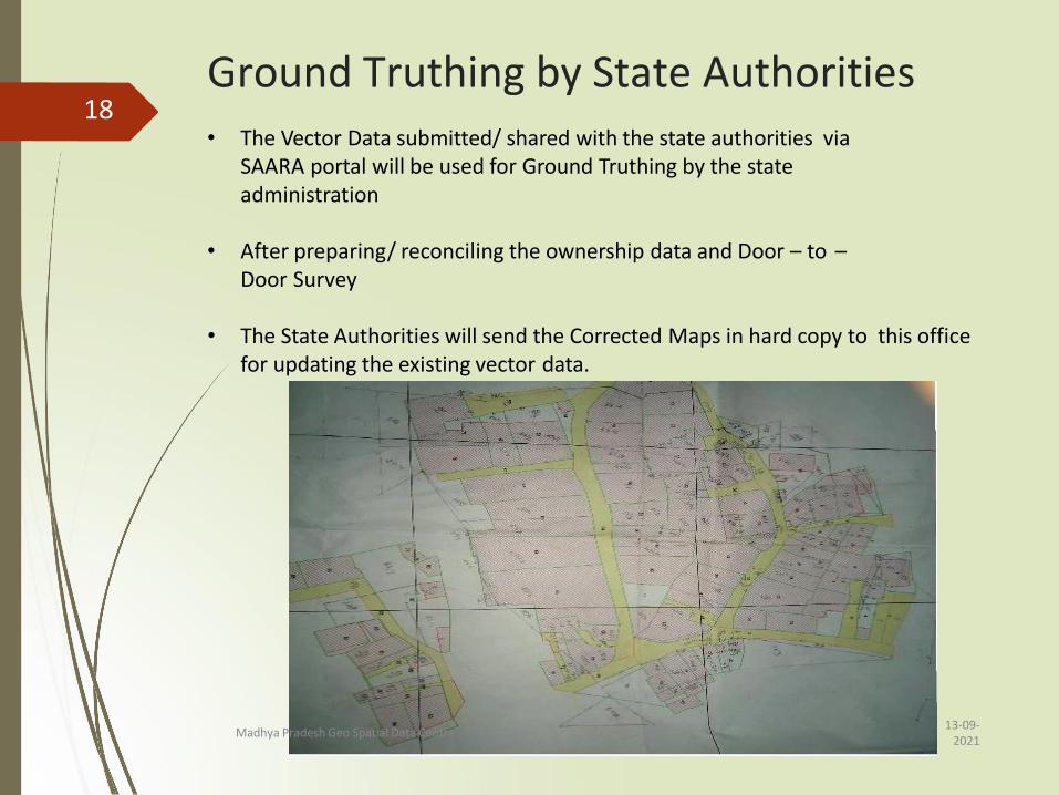
Ground Truthing by State Authorities18
• The Vector Data submitted/ shared with the state authorities viaSAARA portal will be used for Ground Truthing by the state administration
• After preparing/ reconciling the ownership data and Door – to –Door Survey
• The State Authorities will send the Corrected Maps in hard copy to this office for updating the existing vector data.
13-09-2021
Madhya Pradesh Geo Spatial Data Centre

Ground Truthing by State Authorities Contd.
Snippet of letter with detailed description of corrections
13-09-2021
Madhya Pradesh Geo Spatial Data Centre
19• A detailed correction list accompany the Draft Map
marked with corrections.
Final map generation
13-09-2021
Madhya Pradesh Geo Spatial Data Centre
Scanning Ground Verified Maps and their respectivecorrections
Carrying out the corrections as per the correction list
Final Vector data and Map generation (II nd PoP)
1. Completed .gdb files
2. mxd file of digitization
3. Temp file
4. tpk file on scale of 1:250K
5. Map exported in pdf format.
pdf file on 1:500 scale and .gdb data on SAARA portal.
20

Thank You!
13-09-2021
Madhya Pradesh Geo Spatial Data Centre
21