Embed Size (px)
Citation preview
Project Background Information
1
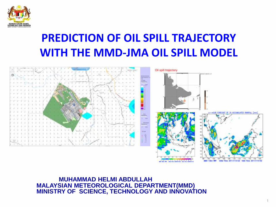
PREDICTION OF OIL SPILL TRAJECTORY WITH THE MMD-JMA OIL SPILL MODEL
MALAYSIAN METEOROLOGICAL DEPARTMENT(MMD) MINISTRY OF SCIENCE, TECHNOLOGY AND INNOVATION
MUHAMMAD HELMI ABDULLAH
Content
Introduction
Weather Monitoring & Forecasting
Marine Numerical Models
Outline of MMD-JMA Oil Spill Model(MJOSM)
Processes , Inputs , Outputs & Verification
Role of MMD
Conclusion
Way Forward
2
3
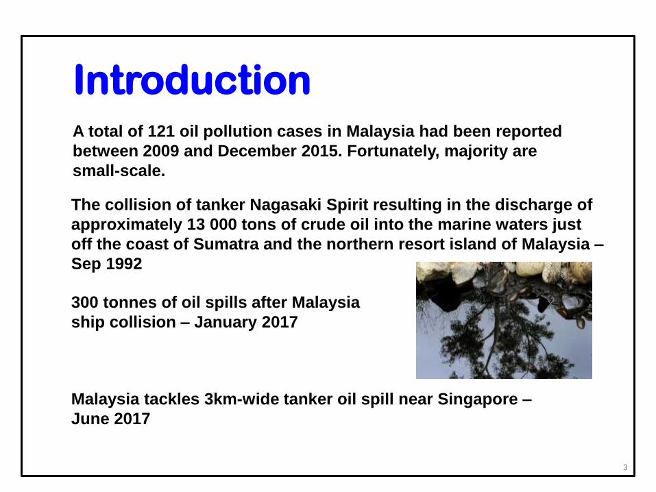
300 tonnes of oil spills after Malaysia
ship collision – January 2017
Malaysia tackles 3km-wide tanker oil spill near Singapore –
June 2017
A total of 121 oil pollution cases in Malaysia had been reported
between 2009 and December 2015. Fortunately, majority are
small-scale.
The collision of tanker Nagasaki Spirit resulting in the discharge of
approximately 13 000 tons of crude oil into the marine waters just
off the coast of Sumatra and the northern resort island of Malaysia –
Sep 1992
Introduction
Role of MMD
The Malaysian Meteorological Department(MMD) is the sole
agency tasked with monitoring weather conditions and
earthquake activities.
Forecasts/warnings of weather conditions are issued to assist
the disaster management agencies to make informed
decisions.
One of the important functions of MMD is to assist in oil spill
contingency operation.
4
5
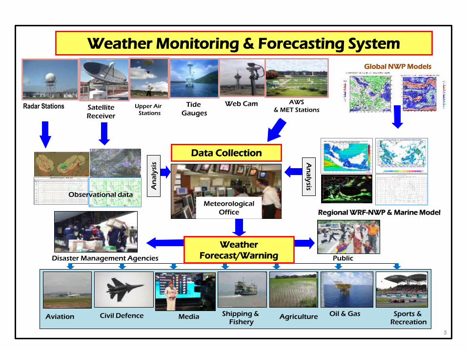
Radar Stations AWS
& MET Stations Web Cam Upper Air
Stations Satellite
Receiver
Aviation Agriculture Media Sports & Recreation
Civil Defence
Tide
Gauges
Disaster Management Agencies Public
Weather
Forecast/Warning
Data Collection
Weather Monitoring & Forecasting System
Shipping & Fishery
Oil & Gas
Regional WRF-NWP & Marine Model
Meteorological
Office
Observational data
An
aly
sis An
aly
sis
Global NWP Models
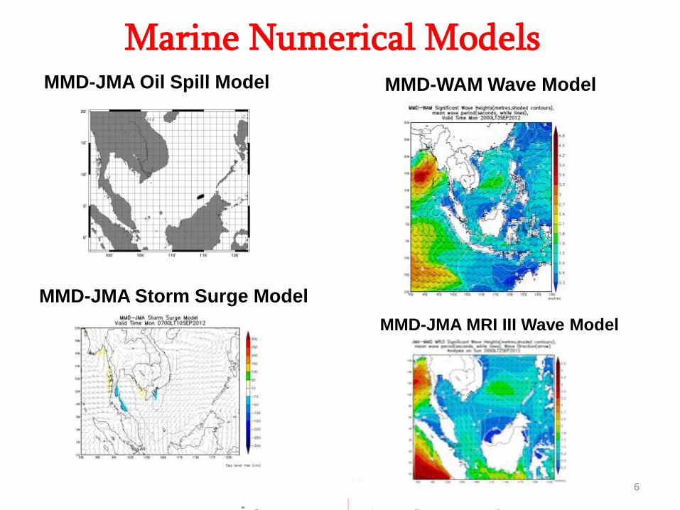
Marine Numerical Models MMD-JMA MRI III Wave Model
MMD-WAM Wave Model
MMD-JMA Storm Surge Model
MMD-JMA Oil Spill Model
MMD-JMA MRI III Wave Model
6
MMD-JMA Oil Spill Model (MJOSM)
• Developed by Japan Meteorological Agency (JMA)
• Written in FORTRAN 90
• Adapted for use in the Malaysian Meteorological
Department in November 2010 (with permission of JMA)
• MJOSM is run as required (event-based )
7
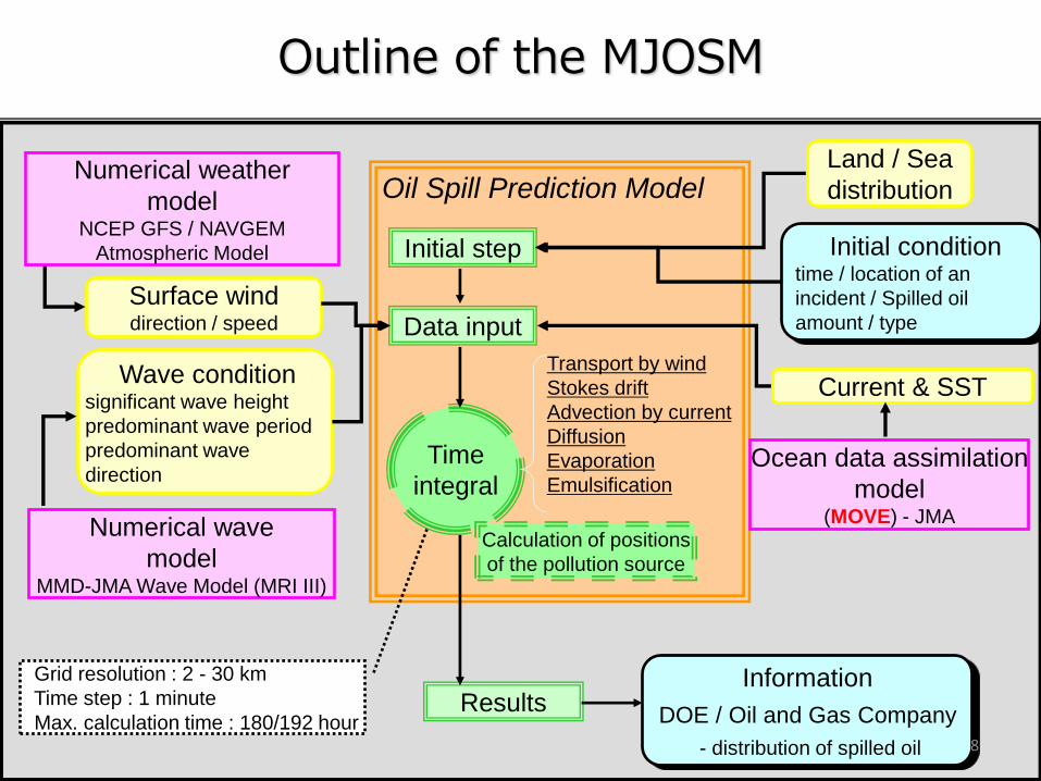
Information
DOE / Oil and Gas Company
- distribution of spilled oil
Surface wind direction / speed
Wave condition significant wave height
predominant wave period
predominant wave
direction
Land / Sea
distribution
Current & SST
Ocean data assimilation
model (MOVE) - JMA
Transport by wind
Stokes drift
Advection by current
Diffusion
Evaporation
Emulsification
Initial step
Results
Data input
Time
integral
Numerical weather
model NCEP GFS / NAVGEM
Atmospheric Model
Numerical wave
model MMD-JMA Wave Model (MRI III)
Oil Spill Prediction Model
Initial condition time / location of an
incident / Spilled oil
amount / type
Calculation of positions
of the pollution source
Grid resolution : 2 - 30 km
Time step : 1 minute
Max. calculation time : 180/192 hour
Outline of the MJOSM
8
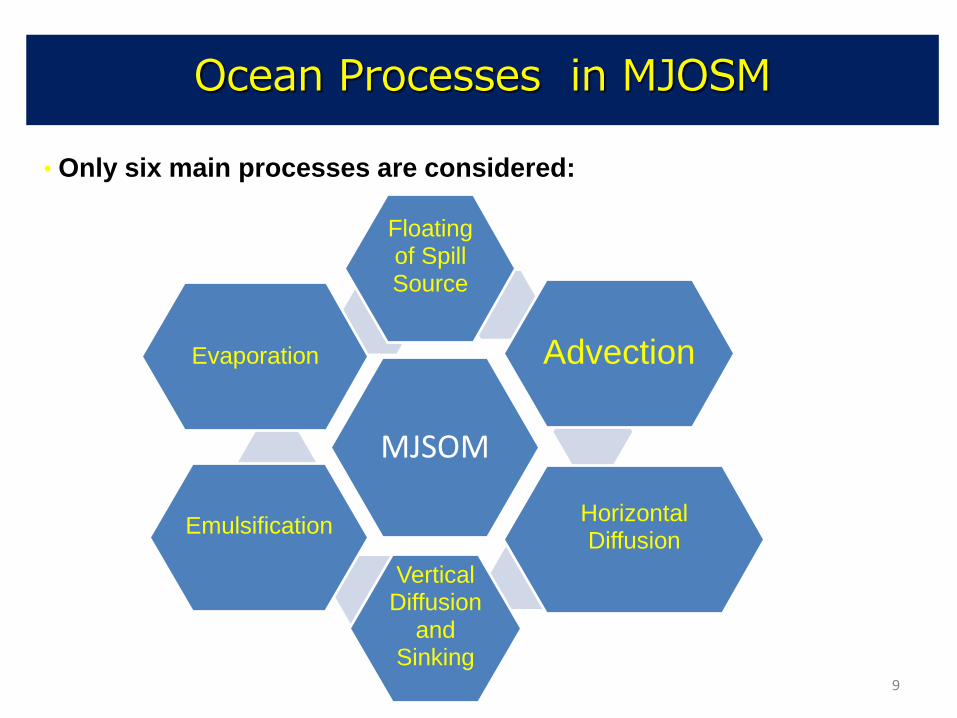
Ocean Processes in MJOSM
• Only six main processes are considered:
MJSOM
Floating of Spill Source
Advection
Horizontal Diffusion
Vertical Diffusion
and Sinking
Emulsification
Evaporation
9
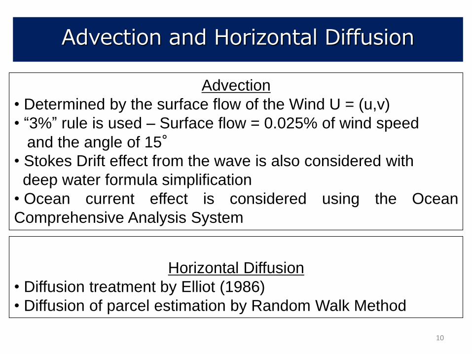
Advection and Horizontal Diffusion
Advection
• Determined by the surface flow of the Wind U = (u,v)
• “3%” rule is used – Surface flow = 0.025% of wind speed
and the angle of 15°
• Stokes Drift effect from the wave is also considered with
deep water formula simplification
• Ocean current effect is considered using the Ocean
Comprehensive Analysis System
Horizontal Diffusion
• Diffusion treatment by Elliot (1986)
• Diffusion of parcel estimation by Random Walk Method
10
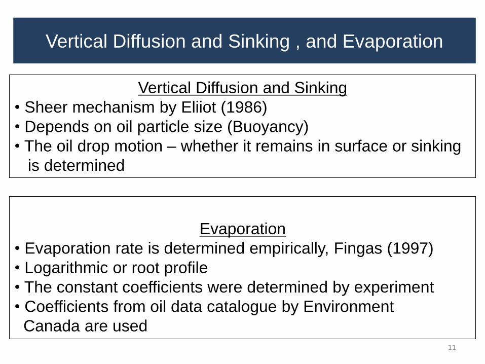
Vertical Diffusion and Sinking , and Evaporation
Vertical Diffusion and Sinking
• Sheer mechanism by Eliiot (1986)
• Depends on oil particle size (Buoyancy)
• The oil drop motion – whether it remains in surface or sinking
is determined
Evaporation
• Evaporation rate is determined empirically, Fingas (1997)
• Logarithmic or root profile
• The constant coefficients were determined by experiment
• Coefficients from oil data catalogue by Environment
Canada are used 11
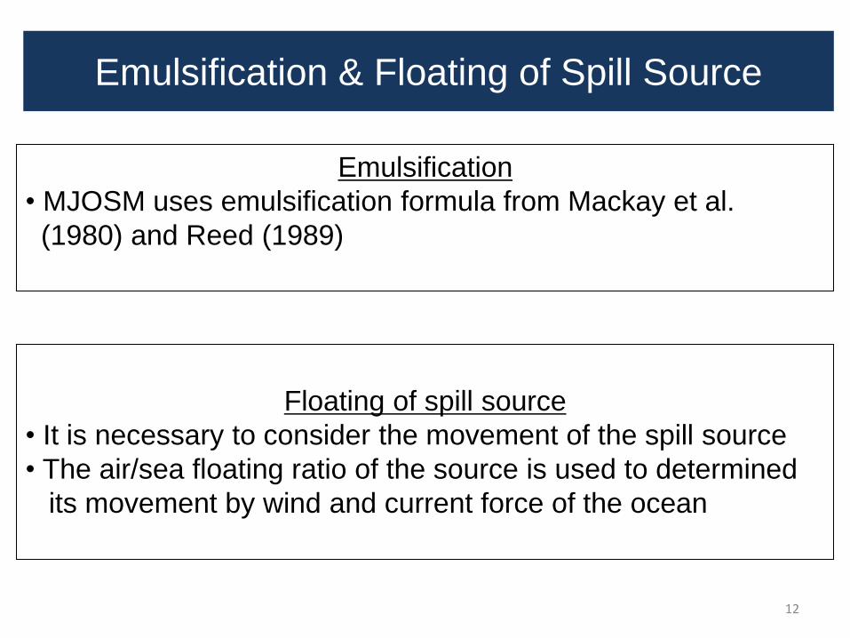
Emulsification & Floating of Spill Source
Emulsification
• MJOSM uses emulsification formula from Mackay et al.
(1980) and Reed (1989)
Floating of spill source
• It is necessary to consider the movement of the spill source
• The air/sea floating ratio of the source is used to determined
its movement by wind and current force of the ocean
12
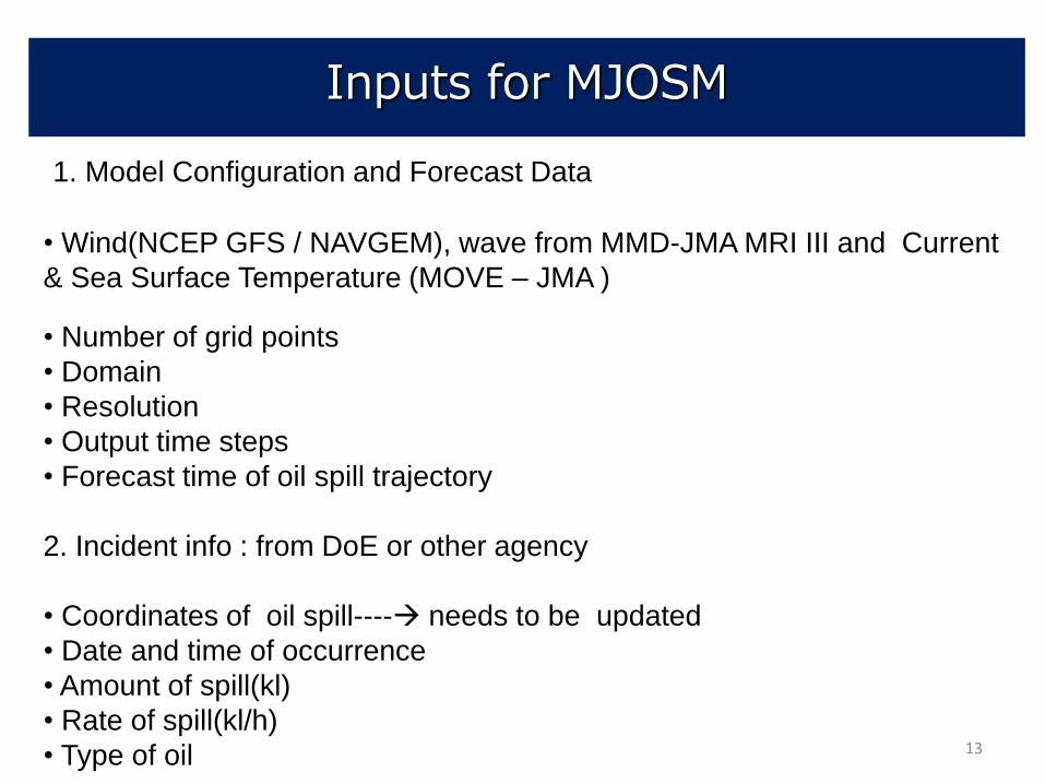
Inputs for MJOSM
1. Model Configuration and Forecast Data
• Wind(NCEP GFS / NAVGEM), wave from MMD-JMA MRI III and Current
& Sea Surface Temperature (MOVE – JMA )
• Number of grid points
• Domain
• Resolution
• Output time steps
• Forecast time of oil spill trajectory
2. Incident info : from DoE or other agency
• Coordinates of oil spill---- needs to be updated
• Date and time of occurrence
• Amount of spill(kl)
• Rate of spill(kl/h)
• Type of oil 13
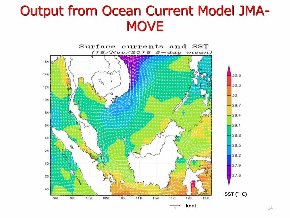
Output from Ocean Current Model JMA- MOVE
knot
SST (°C)
14
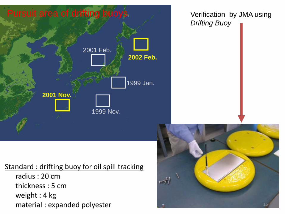
1999 Jan.
1999 Nov.
2001 Feb.
2001 Nov.
2002 Feb.
Pursuit area of drifting buoys
Standard : drifting buoy for oil spill tracking radius : 20 cm thickness : 5 cm weight : 4 kg material : expanded polyester
Verification by JMA using
Drifting Buoy
15
November 17, 2001 ; initial November 18, 2001 November 19, 2001 November 20, 2001 November 21, 2001 November 22, 2001 November 23, 2001
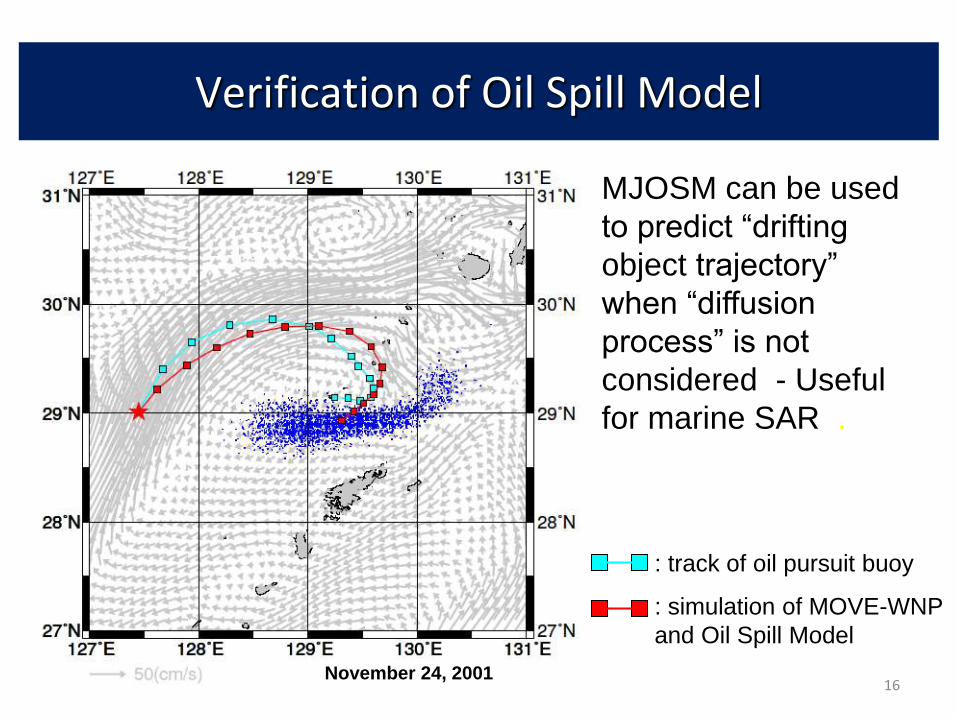
November 24, 2001
: track of oil pursuit buoy
: simulation of MOVE-WNP
and Oil Spill Model
Verification of Oil Spill Model
MJOSM can be used
to predict “drifting
object trajectory”
when “diffusion
process” is not
considered - Useful
for marine SAR .
16
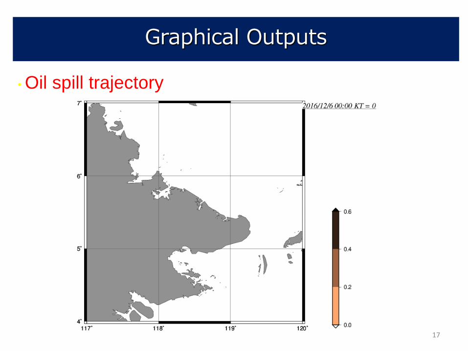
Graphical Outputs
• Oil spill trajectory
17
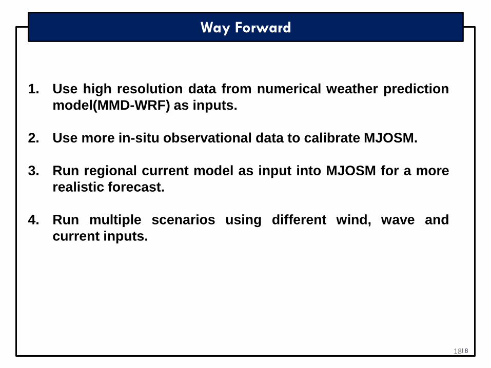
Way Forward
18
1. Use high resolution data from numerical weather prediction
model(MMD-WRF) as inputs.
2. Use more in-situ observational data to calibrate MJOSM.
3. Run regional current model as input into MJOSM for a more
realistic forecast.
4. Run multiple scenarios using different wind, wave and
current inputs.
18
Conclusion
• MJOSM is an open source modelling software.
•Close collaboration with JMA since 2008 helps MMD in operationalising
MJOSM.
•MMD is always ready to provide forecast of oil spill and drifting object
trajectory based on the correct and the latest information:
•Location
•Time
•Amount
•Type
19
20
TERIMA KASIH