Embed Size (px)
Citation preview
The University of the West Indies Organization of
American States
PROFESSIONAL DEVELOPMENT PROGRAMME:
COASTAL INFRASTRUCTURE DESIGN, CONSTRUCTION AND MAINTENANCE
A COURSE IN
DESIGN OF MARINE STRUCTURES
CHAPTER 1
HAZARD ASSESSMENT
By DAVID SMITH, PhD Smith Warner International Limited
Consulting Engineers Kingston, Jamaica
Organized by Department of Civil Engineering, The University of the West Indies, in conjunction with Old Dominion University, Norfolk, VA, USA and Coastal Engineering Research Centre, US Army, Corps of Engineers, Vicksburg, MS, USA.
Trinidad and Tobago, West Indies, September 24th – 28th, 2001
Professional Development ProgrammeProfessional Development Programme
Coastal Infrastructure Design, Construction and MaintenanceCourse No. 4 – Design of Marine Structures
USAID UWI OAS
Risk, Hazards and VulnerabilityPart 1 – Risk and Natural Hazards: Definitions
Presented by David A.Y. Smith, Ph.D., P.Eng.Smith Warner International Ltd. September 24, 2001
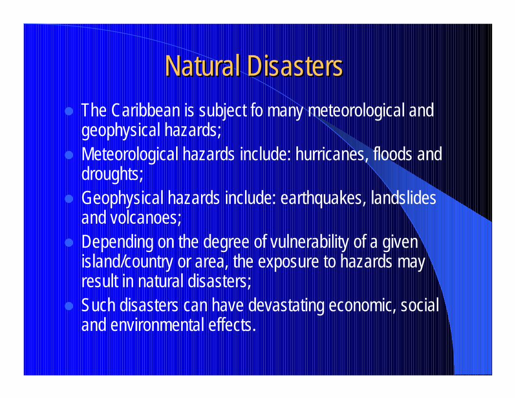
Natural DisastersNatural Disasters� The Caribbean is subject fo many meteorological and
geophysical hazards;� Meteorological hazards include: hurricanes, floods and
droughts;� Geophysical hazards include: earthquakes, landslides
and volcanoes;� Depending on the degree of vulnerability of a given
island/country or area, the exposure to hazards may result in natural disasters;
� Such disasters can have devastating economic, social and environmental effects.
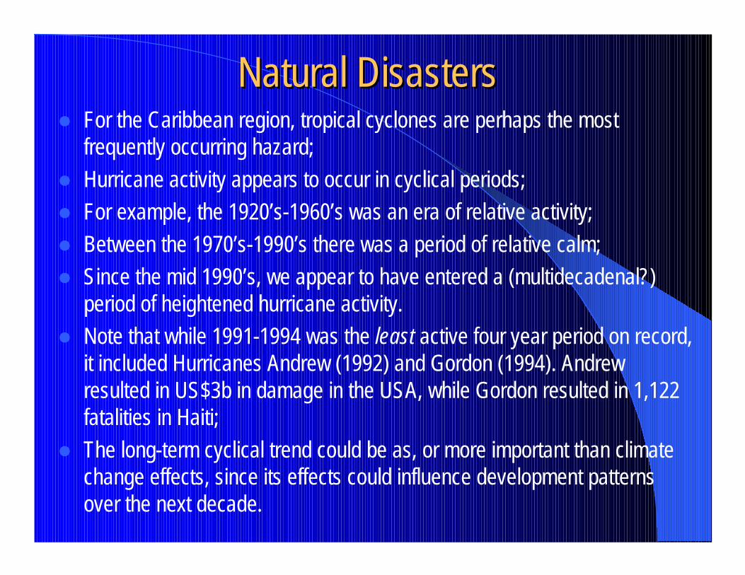
Natural DisastersNatural Disasters� For the Caribbean region, tropical cyclones are perhaps the most
frequently occurring hazard;� Hurricane activity appears to occur in cyclical periods;� For example, the 1920’s-1960’s was an era of relative activity;� Between the 1970’s-1990’s there was a period of relative calm;� Since the mid 1990’s, we appear to have entered a (multidecadenal?)
period of heightened hurricane activity.� Note that while 1991-1994 was the least active four year period on record,
it included Hurricanes Andrew (1992) and Gordon (1994). Andrew resulted in US$3b in damage in the USA, while Gordon resulted in 1,122 fatalities in Haiti;
� The long-term cyclical trend could be as, or more important than climate change effects, since its effects could influence development patterns over the next decade.
Definitions in Risk Analysis Definitions in Risk Analysis and Managementand Management
� Area of risk analysis and management is subject to variations in definition, depending on discipline from which it is approached;
� Fundamental differences can arise in understanding of concepts, whether it is applied by physical scientists, engineers, social scientists or public policy makers;
� There is, therefore, a need for clear definitions of the concepts involved;
� Primary terms requiring definition are: risk, hazard, vulnerability and mitigation/disaster reduction.
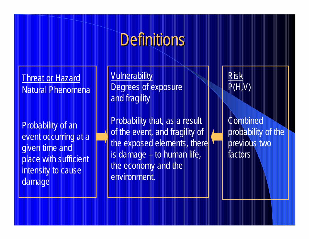
DefinitionsDefinitions
Threat or HazardNatural Phenomena
Probability of an event occurring at a given time and place with sufficient intensity to cause damage
VulnerabilityDegrees of exposure and fragility
Probability that, as a resultof the event, and fragility of the exposed elements, thereis damage – to human life,the economy and the environment.
RiskP(H,V)
Combined probability of the previous two factors
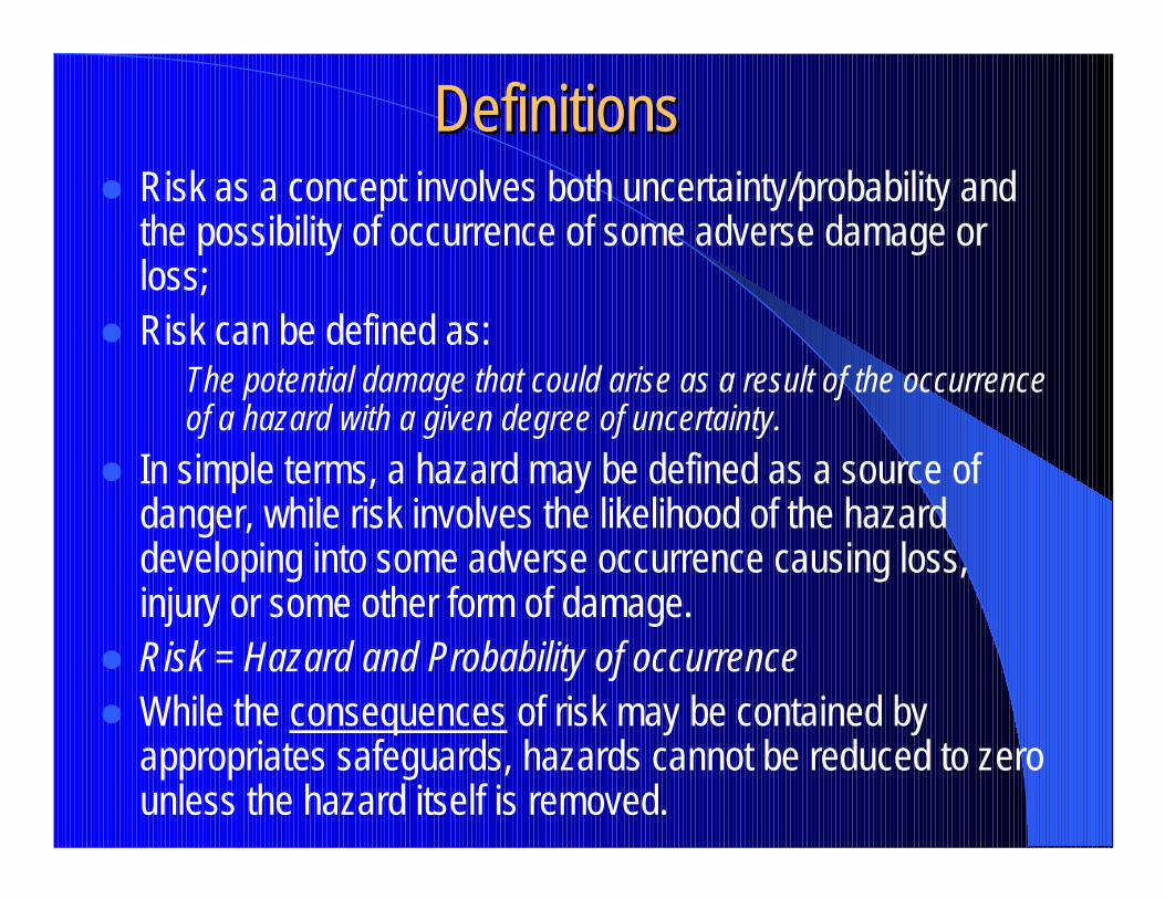
DefinitionsDefinitions� Risk as a concept involves both uncertainty/probability and
the possibility of occurrence of some adverse damage or loss;
� Risk can be defined as:The potential damage that could arise as a result of the occurrence of a hazard with a given degree of uncertainty.
� In simple terms, a hazard may be defined as a source of danger, while risk involves the likelihood of the hazard developing into some adverse occurrence causing loss, injury or some other form of damage.
� Risk = Hazard and Probability of occurrence� While the consequences of risk may be contained by
appropriates safeguards, hazards cannot be reduced to zero unless the hazard itself is removed.
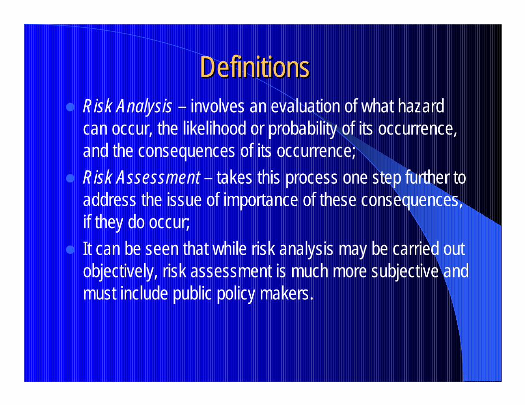
DefinitionsDefinitions� Risk Analysis – involves an evaluation of what hazard
can occur, the likelihood or probability of its occurrence, and the consequences of its occurrence;
� Risk Assessment – takes this process one step further to address the issue of importance of these consequences, if they do occur;
� It can be seen that while risk analysis may be carried out objectively, risk assessment is much more subjective and must include public policy makers.
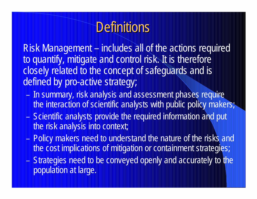
DefinitionsDefinitionsRisk Management – includes all of the actions required to quantify, mitigate and control risk. It is therefore closely related to the concept of safeguards and is defined by pro-active strategy;– In summary, risk analysis and assessment phases require
the interaction of scientific analysts with public policy makers;– Scientific analysts provide the required information and put
the risk analysis into context;– Policy makers need to understand the nature of the risks and
the cost implications of mitigation or containment strategies;– Strategies need to be conveyed openly and accurately to the
population at large.

DefinitionsDefinitions� Vulnerability – is the proportion (as a % or as an index from
0 to 1) of what could be damaged (human life, property, etc.) in a given place in the event of occurrence of a given natural phenomenon;
� Vulnerability takes into account the risk factors or exposure to danger of existing physical structures (such as electrical power, water, transportation, communications, etc.);
� Vulnerability also takes into account the conditions of human settlements and the locations of productive activities, and the linkages among them and with the environment.
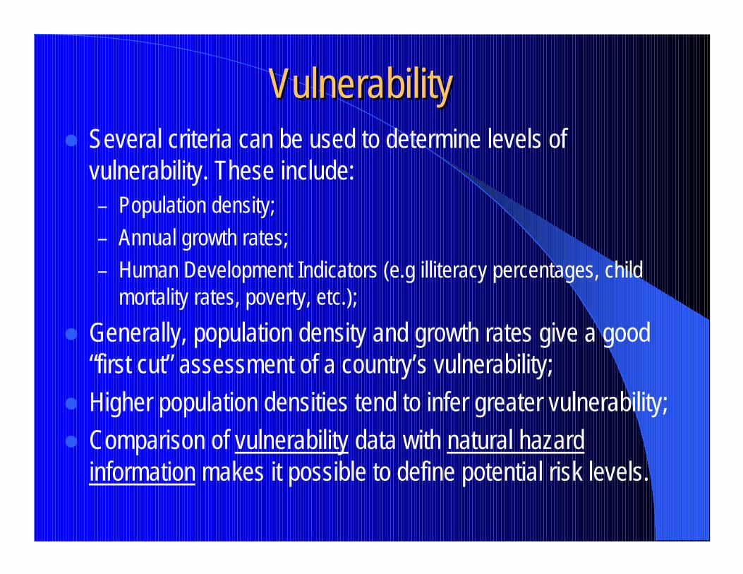
VulnerabilityVulnerability� Several criteria can be used to determine levels of
vulnerability. These include:– Population density;– Annual growth rates;– Human Development Indicators (e.g illiteracy percentages, child
mortality rates, poverty, etc.);� Generally, population density and growth rates give a good
“first cut” assessment of a country’s vulnerability;� Higher population densities tend to infer greater vulnerability;� Comparison of vulnerability data with natural hazard
information makes it possible to define potential risk levels.
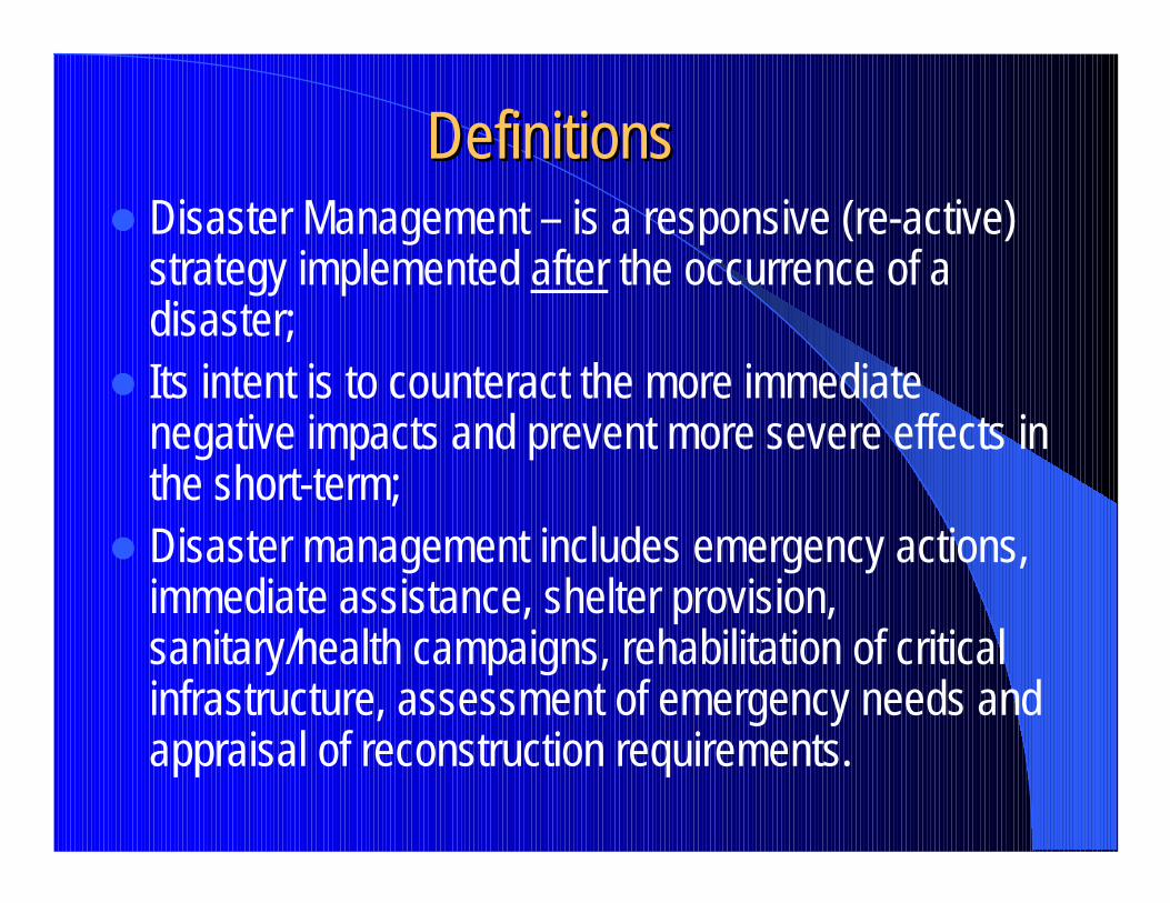
DefinitionsDefinitions� Disaster Management – is a responsive (re-active)
strategy implemented after the occurrence of a disaster;
� Its intent is to counteract the more immediate negative impacts and prevent more severe effects in the short-term;
� Disaster management includes emergency actions, immediate assistance, shelter provision, sanitary/health campaigns, rehabilitation of critical infrastructure, assessment of emergency needs and appraisal of reconstruction requirements.
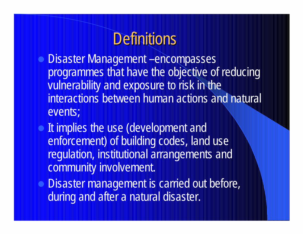
DefinitionsDefinitions� Disaster Management –encompasses
programmes that have the objective of reducing vulnerability and exposure to risk in the interactions between human actions and natural events;
� It implies the use (development and enforcement) of building codes, land use regulation, institutional arrangements and community involvement.
� Disaster management is carried out before, during and after a natural disaster.
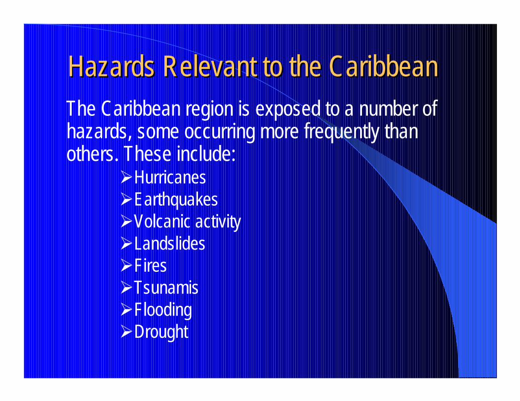
Hazards Relevant to the CaribbeanHazards Relevant to the CaribbeanThe Caribbean region is exposed to a number of hazards, some occurring more frequently than others. These include:
�Hurricanes�Earthquakes�Volcanic activity�Landslides�Fires�Tsunamis�Flooding�Drought
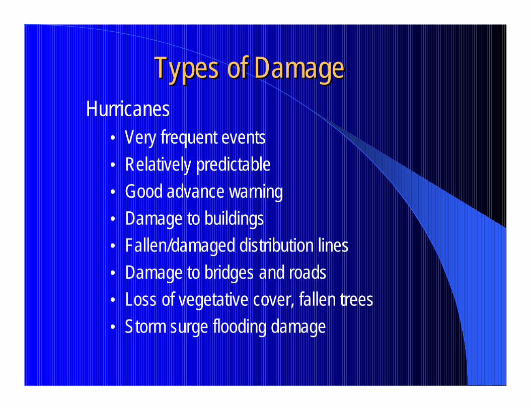
Types of DamageTypes of DamageHurricanes
• Very frequent events• Relatively predictable• Good advance warning• Damage to buildings• Fallen/damaged distribution lines• Damage to bridges and roads• Loss of vegetative cover, fallen trees• Storm surge flooding damage
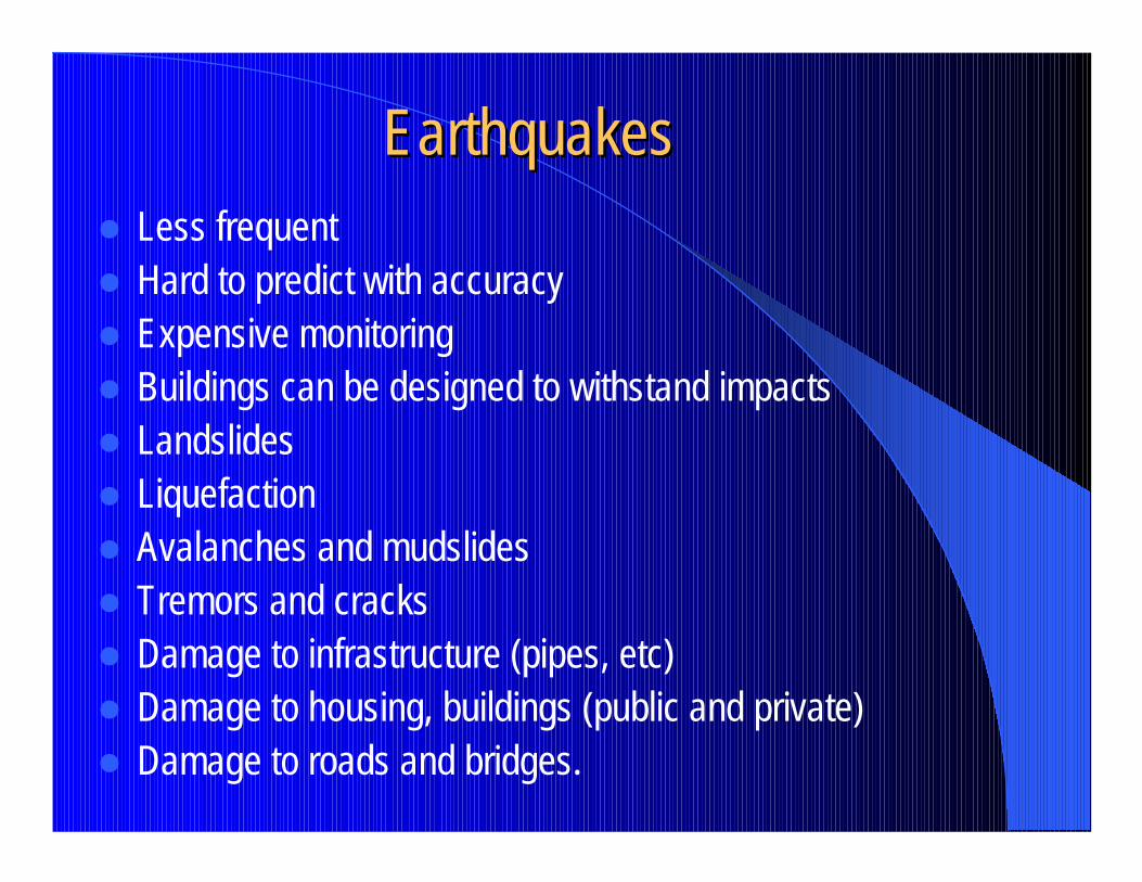
EarthquakesEarthquakes� Less frequent� Hard to predict with accuracy� Expensive monitoring� Buildings can be designed to withstand impacts� Landslides� Liquefaction� Avalanches and mudslides� Tremors and cracks� Damage to infrastructure (pipes, etc)� Damage to housing, buildings (public and private)� Damage to roads and bridges.
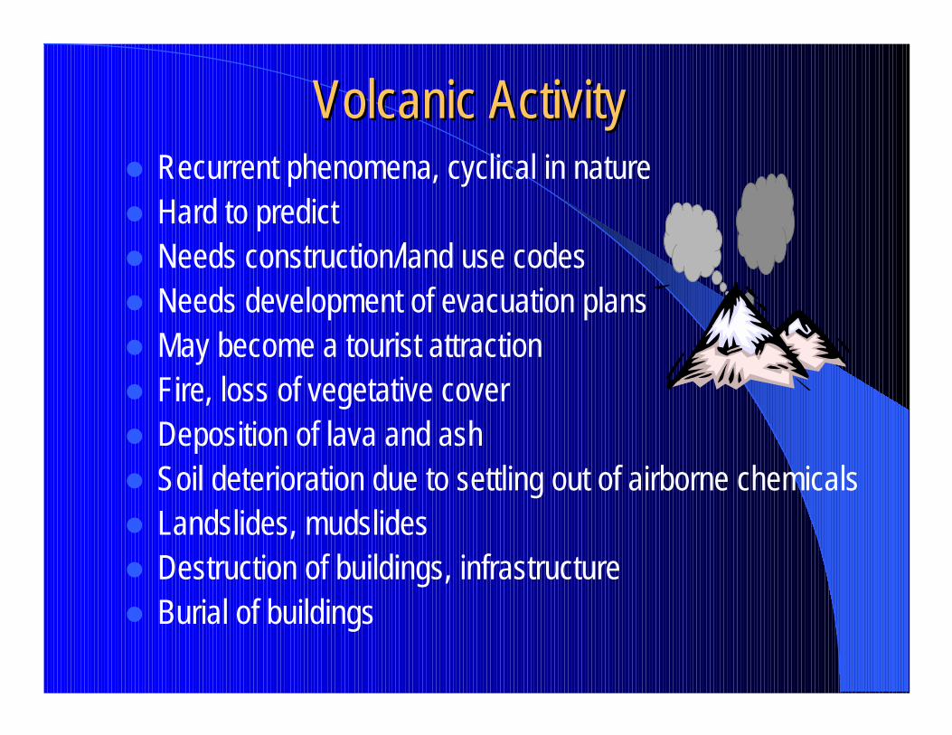
Volcanic ActivityVolcanic Activity� Recurrent phenomena, cyclical in nature� Hard to predict� Needs construction/land use codes� Needs development of evacuation plans� May become a tourist attraction� Fire, loss of vegetative cover� Deposition of lava and ash� Soil deterioration due to settling out of airborne chemicals� Landslides, mudslides� Destruction of buildings, infrastructure� Burial of buildings
Landslides and FiresLandslides and Fires� These effects are usually secondary and are
associated with other events;� May be preventable by soil/slope reinforcement
and fire security measures;� Can have severe impacts on infrastructure and
the environment;� Often caused by man’s intervention.
TsunamisTsunamis� Less frequent occurrence� Usually associated with submarine volcanic
eruptions or landslips� Can contaminate the water table (salinity,
sedimentation)� Destroys or damages buildings, bridges, roads,
etc.� Can destroy crops, fishing grounds
FloodingFlooding
� Occurrence can be frequent� Seasonally occurring during rainy seasons� Effects may be exacerbated by other natural
phenomena (both meteorological and seismic or volcanic)
� Effects may be mitigated through better land use, planning and proper sea defense or river training works.
DroughtDrought� Associated mostly with meteorological events;� Require prevention, close control and monitoring;� Affects agricultural production cycles;� Affects natural environment, flora, fauna and their
cycles;� Usually requires multi-sectoral and multi disciplinary
actions;� Causes loss of plant layer;� Causes exposure to wind erosion.
Professional Development ProgrammeProfessional Development Programme
Coastal Infrastructure Design, Construction and MaintenanceCourse No. 4 – Design of Marine Structures
USAID UWI OAS
Risk, Hazards and VulnerabilityPart 2 – Quantification, Evaluation and and Mitigation
Presented by David A.Y. Smith, Ph.D., P.Eng.Smith Warner International Ltd. September 24, 2001
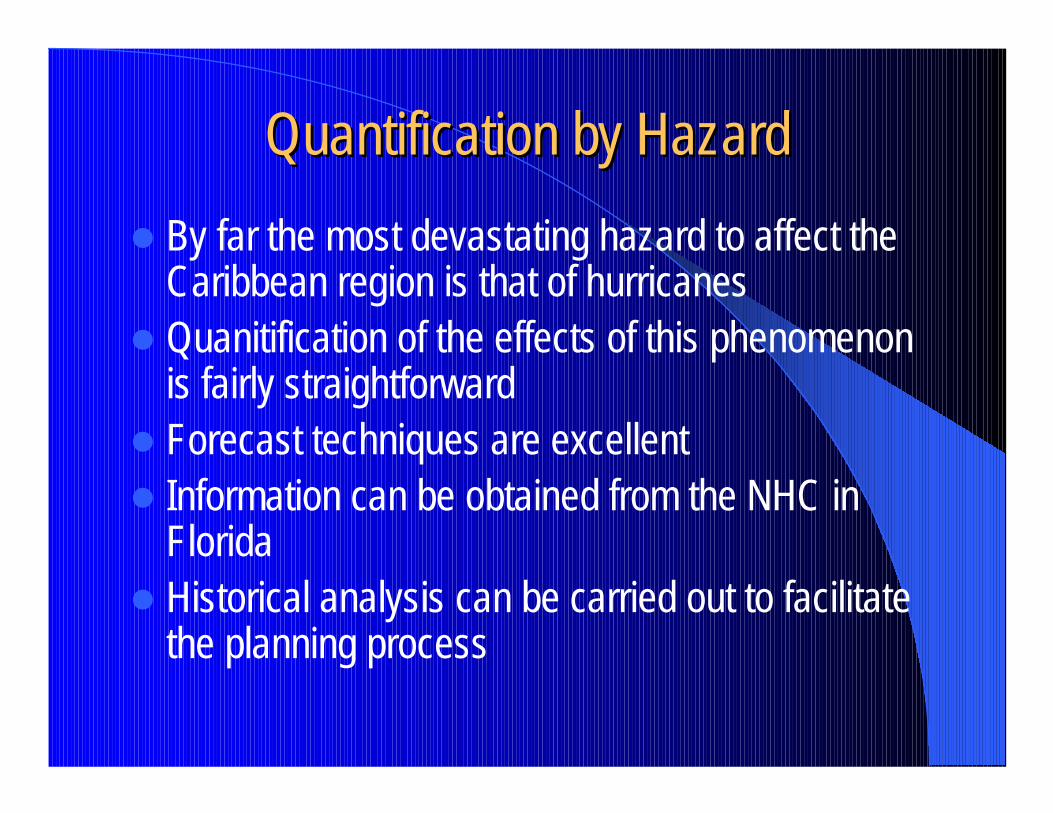
Quantification by HazardQuantification by Hazard� By far the most devastating hazard to affect the
Caribbean region is that of hurricanes� Quanitification of the effects of this phenomenon
is fairly straightforward� Forecast techniques are excellent� Information can be obtained from the NHC in
Florida� Historical analysis can be carried out to facilitate
the planning process
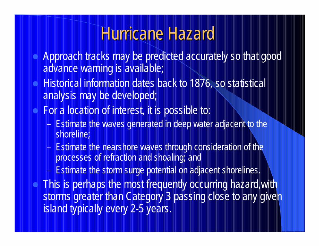
Hurricane HazardHurricane Hazard� Approach tracks may be predicted accurately so that good
advance warning is available;� Historical information dates back to 1876, so statistical
analysis may be developed;� For a location of interest, it is possible to:
– Estimate the waves generated in deep water adjacent to the shoreline;
– Estimate the nearshore waves through consideration of the processes of refraction and shoaling; and
– Estimate the storm surge potential on adjacent shorelines.� This is perhaps the most frequently occurring hazard,with
storms greater than Category 3 passing close to any given island typically every 2-5 years.
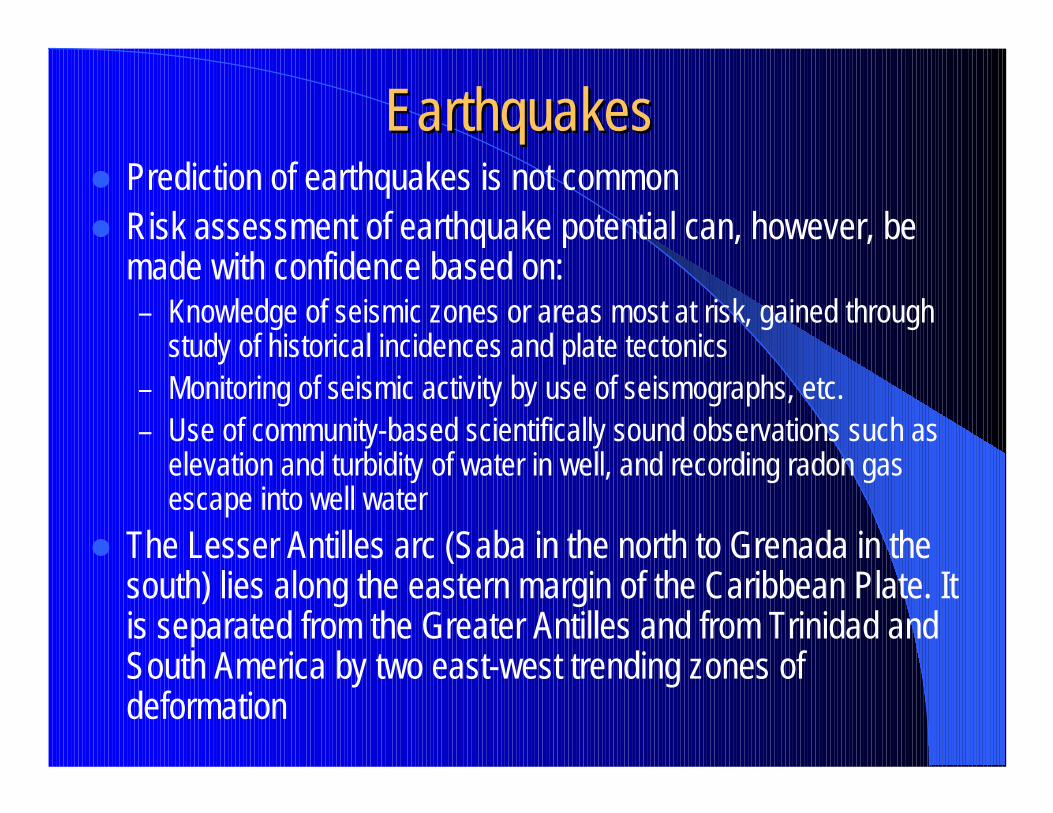
EarthquakesEarthquakes� Prediction of earthquakes is not common� Risk assessment of earthquake potential can, however, be
made with confidence based on:– Knowledge of seismic zones or areas most at risk, gained through
study of historical incidences and plate tectonics – Monitoring of seismic activity by use of seismographs, etc.– Use of community-based scientifically sound observations such as
elevation and turbidity of water in well, and recording radon gas escape into well water
� The Lesser Antilles arc (Saba in the north to Grenada in the south) lies along the eastern margin of the Caribbean Plate. It is separated from the Greater Antilles and from Trinidad and South America by two east-west trending zones of deformation
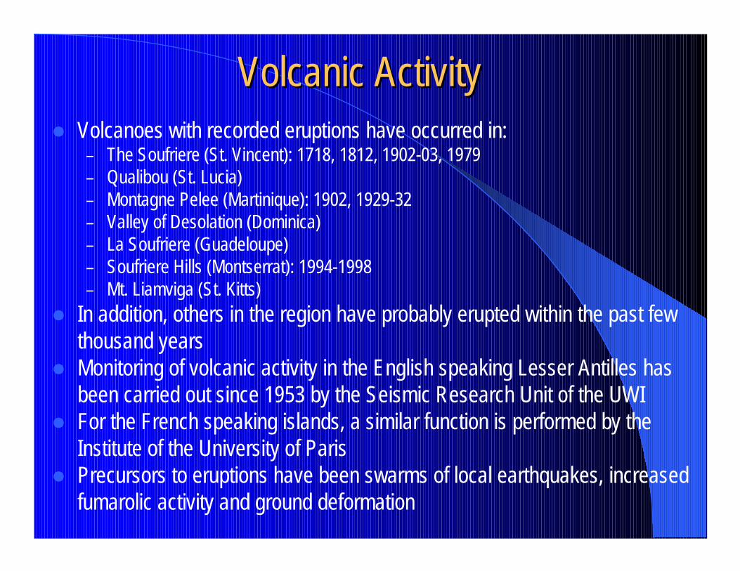
Volcanic ActivityVolcanic Activity� Volcanoes with recorded eruptions have occurred in:
– The Soufriere (St. Vincent): 1718, 1812, 1902-03, 1979– Qualibou (St. Lucia)– Montagne Pelee (Martinique): 1902, 1929-32– Valley of Desolation (Dominica)– La Soufriere (Guadeloupe)– Soufriere Hills (Montserrat): 1994-1998– Mt. Liamviga (St. Kitts)
� In addition, others in the region have probably erupted within the past few thousand years
� Monitoring of volcanic activity in the English speaking Lesser Antilles has been carried out since 1953 by the Seismic Research Unit of the UWI
� For the French speaking islands, a similar function is performed by the Institute of the University of Paris
� Precursors to eruptions have been swarms of local earthquakes, increased fumarolic activity and ground deformation
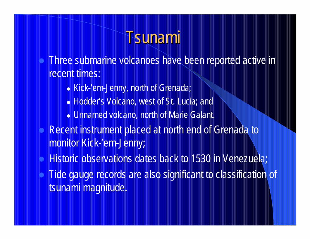
TsunamiTsunami� Three submarine volcanoes have been reported active in
recent times:� Kick-’em-Jenny, north of Grenada;� Hodder’s Volcano, west of St. Lucia; and� Unnamed volcano, north of Marie Galant.
� Recent instrument placed at north end of Grenada to monitor Kick-’em-Jenny;
� Historic observations dates back to 1530 in Venezuela;� Tide gauge records are also significant to classification of
tsunami magnitude.
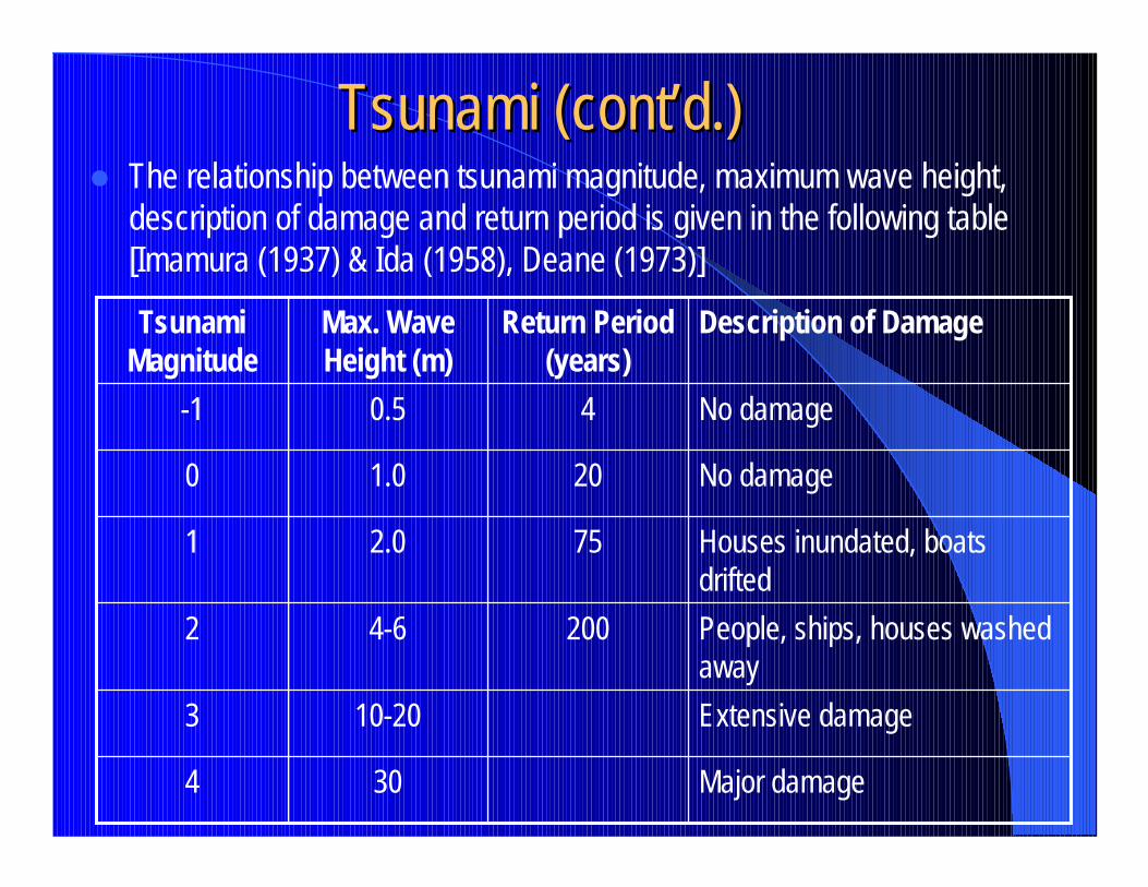
Tsunami (cont’d.)Tsunami (cont’d.)� The relationship between tsunami magnitude, maximum wave height,
description of damage and return period is given in the following table [Imamura (1937) & Ida (1958), Deane (1973)]
Major damage304
Extensive damage10-203
People, ships, houses washed away
2004-62
Houses inundated, boats drifted
752.01
No damage201.00
No damage40.5-1
Description of DamageReturn Period (years)
Max. Wave Height (m)
Tsunami Magnitude
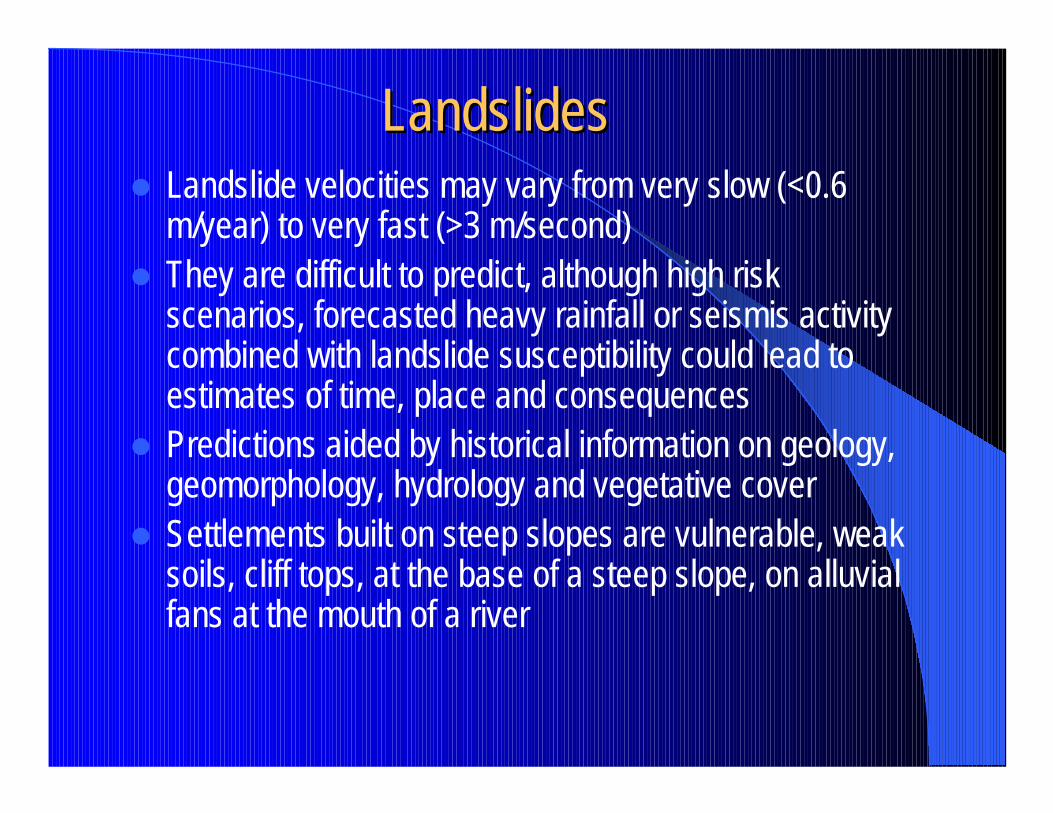
LandslidesLandslides� Landslide velocities may vary from very slow (<0.6
m/year) to very fast (>3 m/second)� They are difficult to predict, although high risk
scenarios, forecasted heavy rainfall or seismis activity combined with landslide susceptibility could lead to estimates of time, place and consequences
� Predictions aided by historical information on geology, geomorphology, hydrology and vegetative cover
� Settlements built on steep slopes are vulnerable, weak soils, cliff tops, at the base of a steep slope, on alluvial fans at the mouth of a river
FloodingFlooding� May be from flash floods, rivers or coastal
flooding;� Measured by depth of water, duration, rate of
rise, frequency of occurrence, seasonality;� May be predicted by stream gauging techniques
combined with flood frequency analysis;� Mapping of flood-prone areas is needed for
control.
Global Sea Level RiseGlobal Sea Level Rise
� Long-term phenomena� Sea level rise in the Caribbean from 2.8-5 mm/year� Can be measured by long-term tide gauge records� Requires planning interventions
VulnerabilityVulnerability� Need to assess areas of regional vulnerability� Inventory of assts should be carried out� Population characteristics need to be defined:
– Housing density– Areas of poverty– Gender analysis– Housing stock and sanitary conditions
� Susceptibility to natural hazards must be determined� Economic vulnerability of the region as a while to natural
hazards has been increased as a result of:– Population growth– Economic development– Coastal tourism– Policy features– Environmental degradation
Mitigation StrategiesMitigation Strategies� Different prevention and/or management
strategies may be developed to deal with varying hazards;
� The degree to which these are successful depends largely on the effectiveness of the agencies responsible for the implementation of disaster response activities;
� Strategies may be short-term or long-term. In addition, they may be pro-active or re-active;
� Pro-active, long-term strategies tend to get countries out of a vicious cycle.
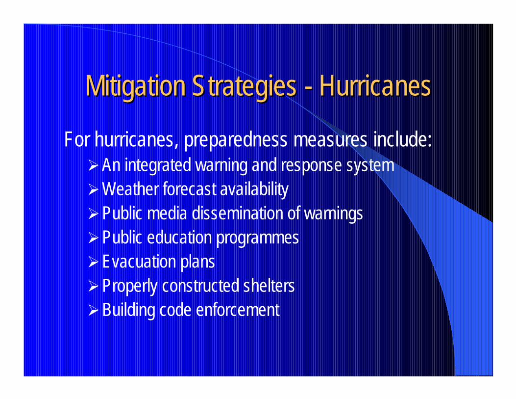
Mitigation Strategies Mitigation Strategies -- HurricanesHurricanes
For hurricanes, preparedness measures include:�An integrated warning and response system�Weather forecast availability�Public media dissemination of warnings�Public education programmes�Evacuation plans�Properly constructed shelters�Building code enforcement
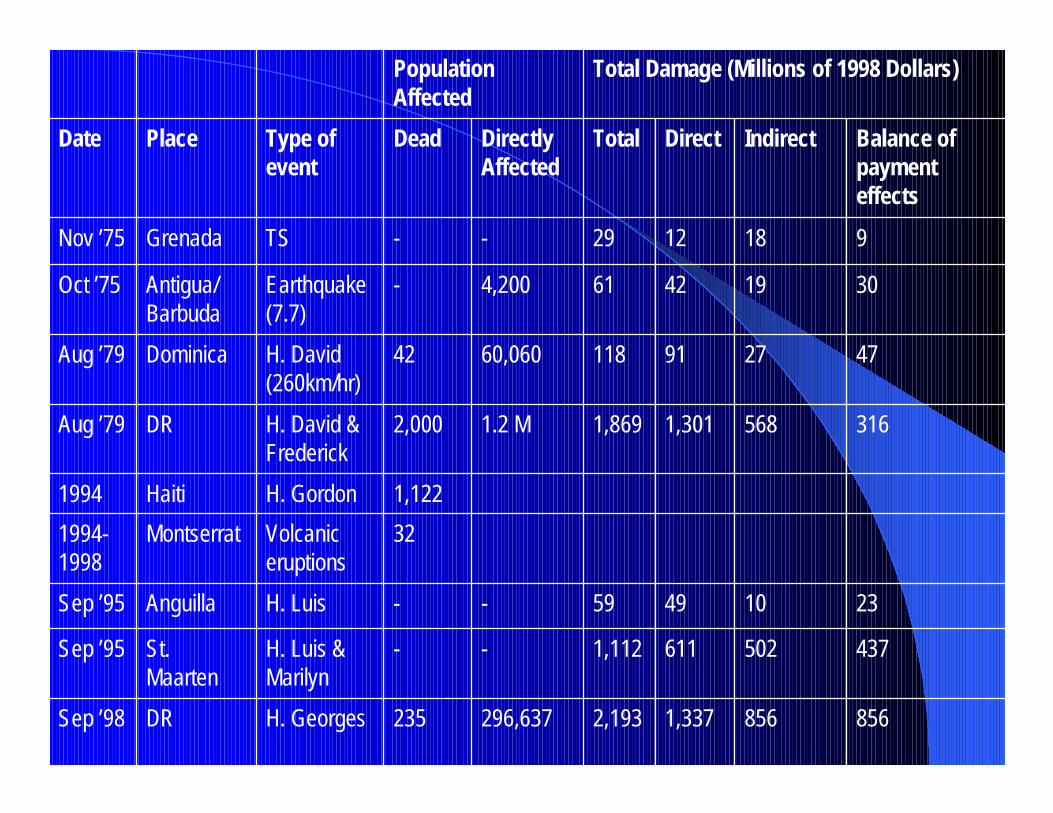
8568561,3372,193296,637235H. GeorgesDRSep ’98
4375026111,112--H. Luis & Marilyn
St. Maarten
Sep ’95
23104959--H. LuisAnguillaSep ’95
32Volcanic eruptions
Montserrat1994-1998
1,122H. GordonHaiti1994
3165681,3011,8691.2 M2,000H. David & Frederick
DRAug ’79
47279111860,06042H. David (260km/hr)
DominicaAug ’79
301942614,200-Earthquake (7.7)
Antigua/Barbuda
Oct ’75
9181229--TSGrenadaNov ’75
Balance of payment effects
IndirectDirectTotalDirectly Affected
DeadType of event
PlaceDate
Total Damage (Millions of 1998 Dollars)Population Affected
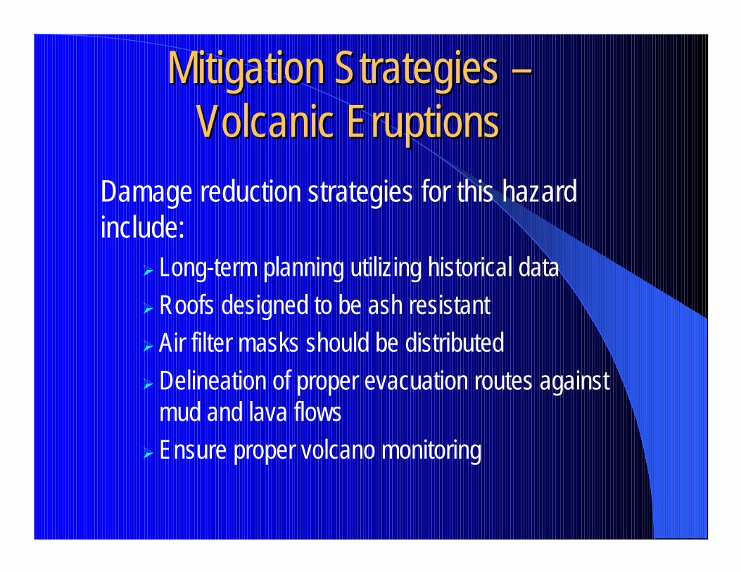
Mitigation Strategies Mitigation Strategies ––Volcanic EruptionsVolcanic Eruptions
Damage reduction strategies for this hazard include:
� Long-term planning utilizing historical data� Roofs designed to be ash resistant� Air filter masks should be distributed� Delineation of proper evacuation routes against
mud and lava flows� Ensure proper volcano monitoring
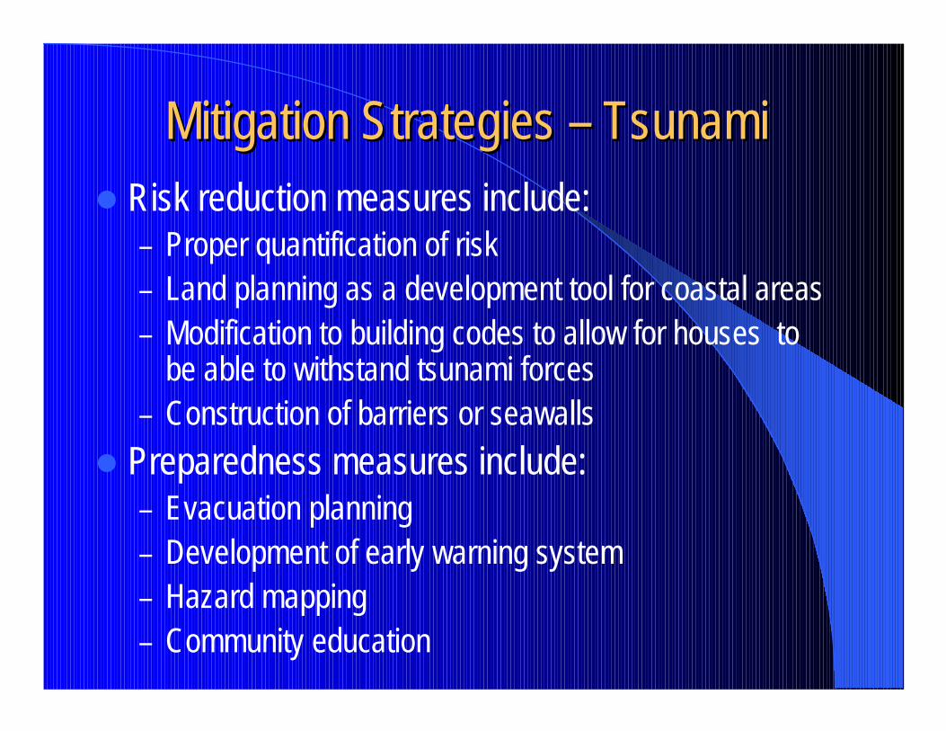
Mitigation Strategies Mitigation Strategies –– TsunamiTsunami� Risk reduction measures include:
– Proper quantification of risk– Land planning as a development tool for coastal areas– Modification to building codes to allow for houses to
be able to withstand tsunami forces– Construction of barriers or seawalls
� Preparedness measures include:– Evacuation planning– Development of early warning system– Hazard mapping– Community education
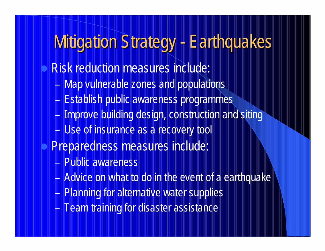
Mitigation Strategy Mitigation Strategy -- EarthquakesEarthquakes� Risk reduction measures include:
– Map vulnerable zones and populations– Establish public awareness programmes– Improve building design, construction and siting– Use of insurance as a recovery tool
� Preparedness measures include:– Public awareness– Advice on what to do in the event of a earthquake– Planning for alternative water supplies– Team training for disaster assistance
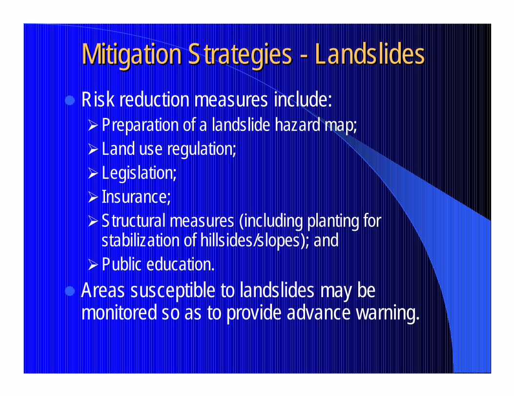
Mitigation Strategies Mitigation Strategies -- LandslidesLandslides� Risk reduction measures include:
�Preparation of a landslide hazard map;�Land use regulation;�Legislation;� Insurance;�Structural measures (including planting for
stabilization of hillsides/slopes); and�Public education.
� Areas susceptible to landslides may be monitored so as to provide advance warning.
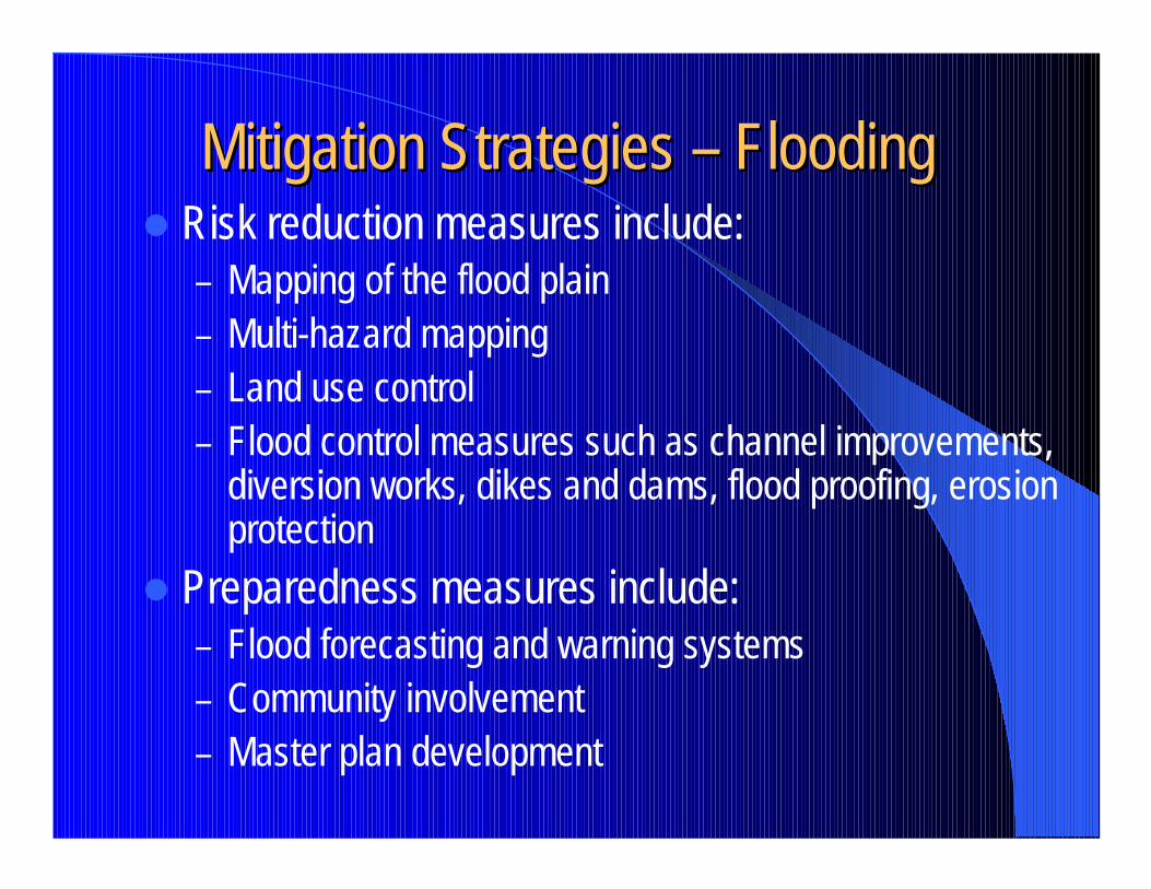
Mitigation Strategies Mitigation Strategies –– Flooding Flooding � Risk reduction measures include:
– Mapping of the flood plain– Multi-hazard mapping– Land use control– Flood control measures such as channel improvements,
diversion works, dikes and dams, flood proofing, erosion protection
� Preparedness measures include:– Flood forecasting and warning systems– Community involvement– Master plan development
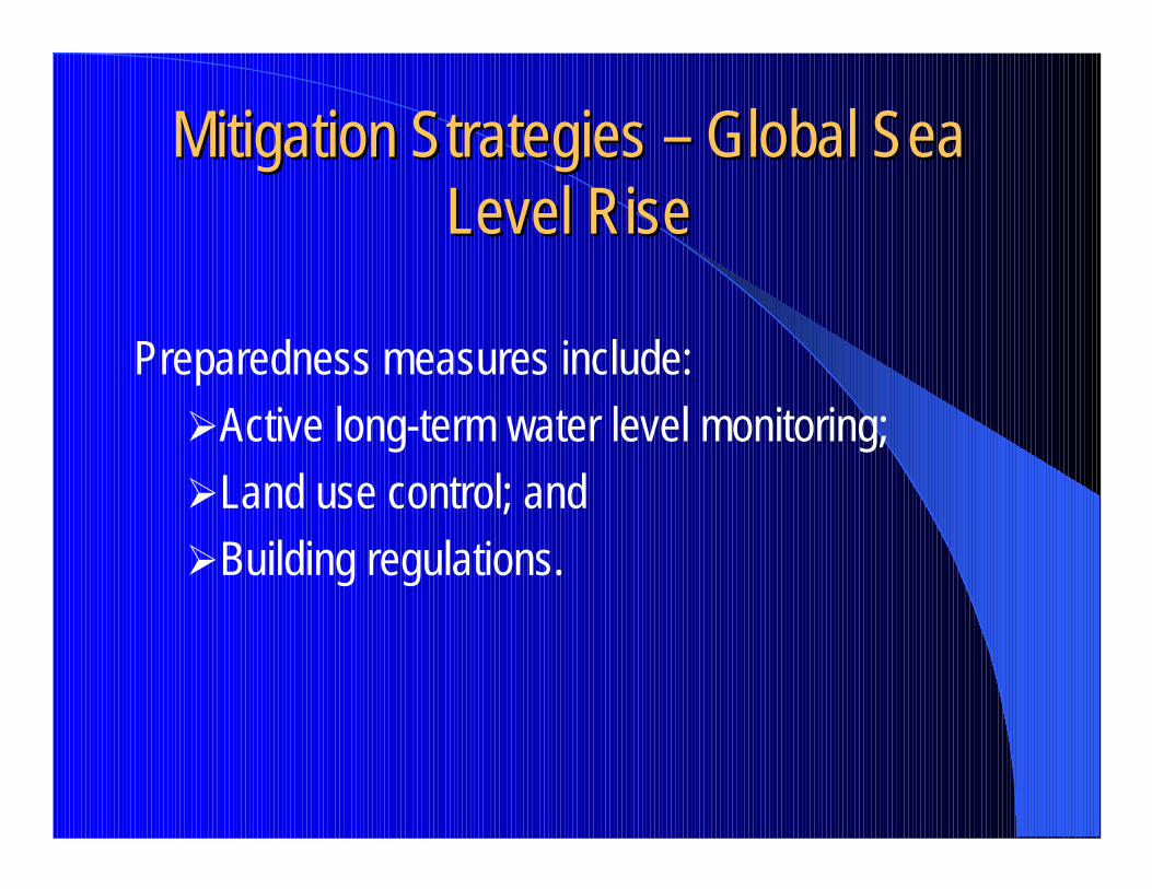
Mitigation Strategies Mitigation Strategies –– Global Sea Global Sea Level RiseLevel Rise
Preparedness measures include:�Active long-term water level monitoring;�Land use control; and�Building regulations.