Embed Size (px)
DESCRIPTION
Proposed Marine Management Areas in St. Kitts and Nevis. Emile Pemberton. Southeast Peninsula Area in St. Kitts. Shallow area with seagrass beds. Beach seine operations are forbidden here. Sunset over the Southeast Peninsula. Southeast Peninsula Area Nevis. - PowerPoint PPT Presentation
Citation preview

Proposed Marine Management Areas in
St. Kitts and Nevis
Emile Pemberton

Southeast Peninsula Area in St. Kitts Shallow area with seagrass beds

Beach seine operations are forbidden here Sunset over the Southeast Peninsula

Southeast Peninsula Area Nevis
The channel between the two islands – only about 2 miles wide

Brief Background St. Kitts and Nevis are two islands separated
by about two miles of water at the nearest point. These shallows are an area rich in biodiversity.
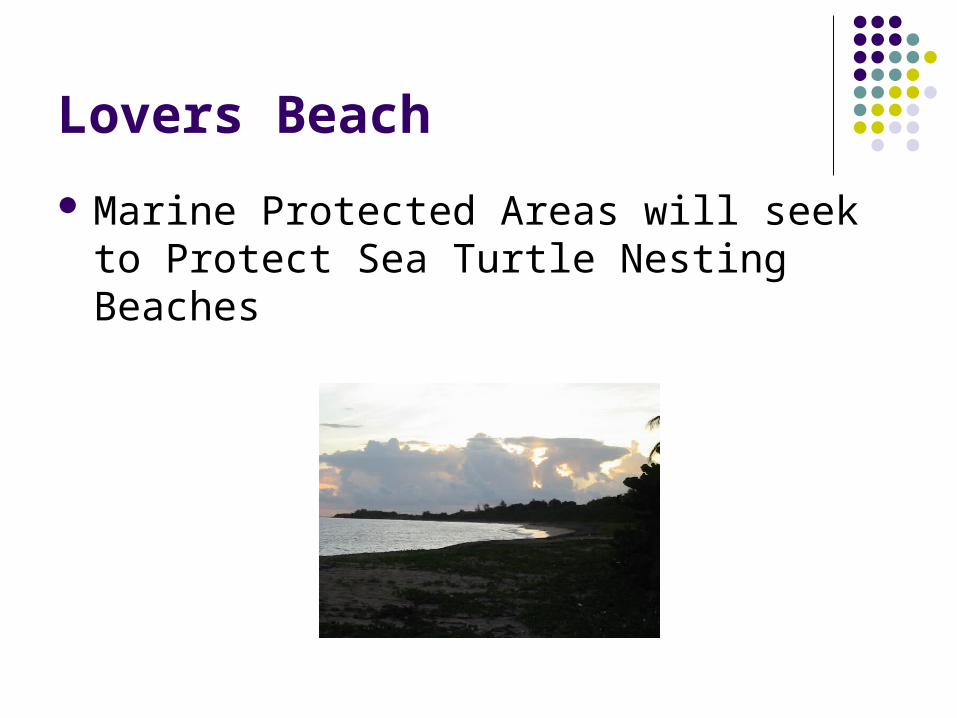
Lovers Beach Marine Protected Areas will seek to Protect
Sea Turtle Nesting Beaches

Legislative Framework A few areas are de facto marine parks but
have not been declared so under the laws of the country

Proposed Marine Park off Sandy Point
17°20
17°20,4'
17°20,8'
17°21,2'
17°21,6'
17°22,0'
17°22,5'
17°22,9'
17°23,3'
62°5062°50,4'62°50,9'62°51,3'62°51,7'62°52,1'62°52,5'
Legend :AA : Anchors AwayPR : Paradise ReefRD : Red Drum
Sandy Point
RD
PRAA
100
30
20 10
30 10
20
20
SCALE: 1/35714
: Fishing priority
: Marine reserve
Sandy Point
MAP 1: SANDY POINT AREA

Marine Protected Areas on the Southeast Peninsula of St. Kitts
20
10
10
20
10
10
17°10.0'
17°10.4'
17°10.8'
17°11.2'
17°11.6'
17°12.0'
17°12.5'
17°12.8'
17°13.3'
17°13.7'
17°14.1'
17°14.5'
17°14.9'
17°15.3'
17°15.7'
Shiten Bay
White House Bay
: Moorings for Day Charter Boat ( snorkelling )
: Mooring for Yachts
62°36.8'62°37.2'62°37.6'62°38.05'62°38.5'62°38.9'62°39.3'67°39.8'67°40.6'67°41.’67°41.4' 67°40.2'67°41.8'
SCALE : 1/67500
: Marine reserve
Mosquito Bay
Major’s Bay
Cockleshell & Banana Bays

Public Conservation Education Public Education Through Participation: Families
on Beach Patrol

Turtle watching Turtle watching – land and water based is a
proposed marine park activity

LEGAL FRAMEWORK
The National Conservation and Environment Protection Act, (NCEPA) No.5 of 1987 provides for the establishment of National Parks.
The Fisheries Act No.4 of 1984 provides for the establishment of Fishing Priority Areas and Marine Reserves.
Special regulations will be developed, with assistance from the Government’s legal Department.

Fee structure for activities in the MPAS

REVENUE MANAGEMENT
A special account will be established for fees and other money received or collected.
Proper accounting procedures will be established, including annual audits by a competent independent auditor.
The Executive Director of the Authority is responsible for the management of the account. Quarterly allocations will be made available in accordance with approved budget submissions.

Monitoring
Monitoring is needed firstly to guide management decisions, and secondly to determine the effectiveness of management. The Monitoring methods listed below would provide some of the necessary information. Some monitoring activities are already underway within the proposed MPAS but will need to be expanded. Other methods need to be started as soon as possible.

Monitoring Monitoring environmental variables as
indicators of potential impacts on the marine ecosystem such as:
Salinity at selected stations Sedimentation rates and water clarity at selected
sites Water quality, specifically the levels of inorganic and
organic pollutants.


Major’s Bay on the Southeast Peninsula of St. Kitts This area soon to be developed for tourism

BURNABY
Beach
Coral
Sea Grass
TAMARIND
BAY