Embed Size (px)
Citation preview

QGIS 3.0 –What end users need to know

Nyall Dawsonhttp://nyalldawson.net
http://north-road.com

Nathan Woodrowhttps://nathanw.net/
https://www.technologyonecorp.com/
This is NOT** a“what’s new in QGIS 3.0” talk!
**maybe a little

Background Tasks

● Saving raster/vector layers● Saving map renders
● Processing algorithm execution● Feature counting
+ More to come in future releases!

OTF Projection Changes

● “OTF Projection” is always on● New “No Projection” option =
everything is Cartesian, treated literallyand unitless
● Makes incorrect layer CRS easier todetermine, area/distance calculations
more predictable

Removal of “Core” Plugins
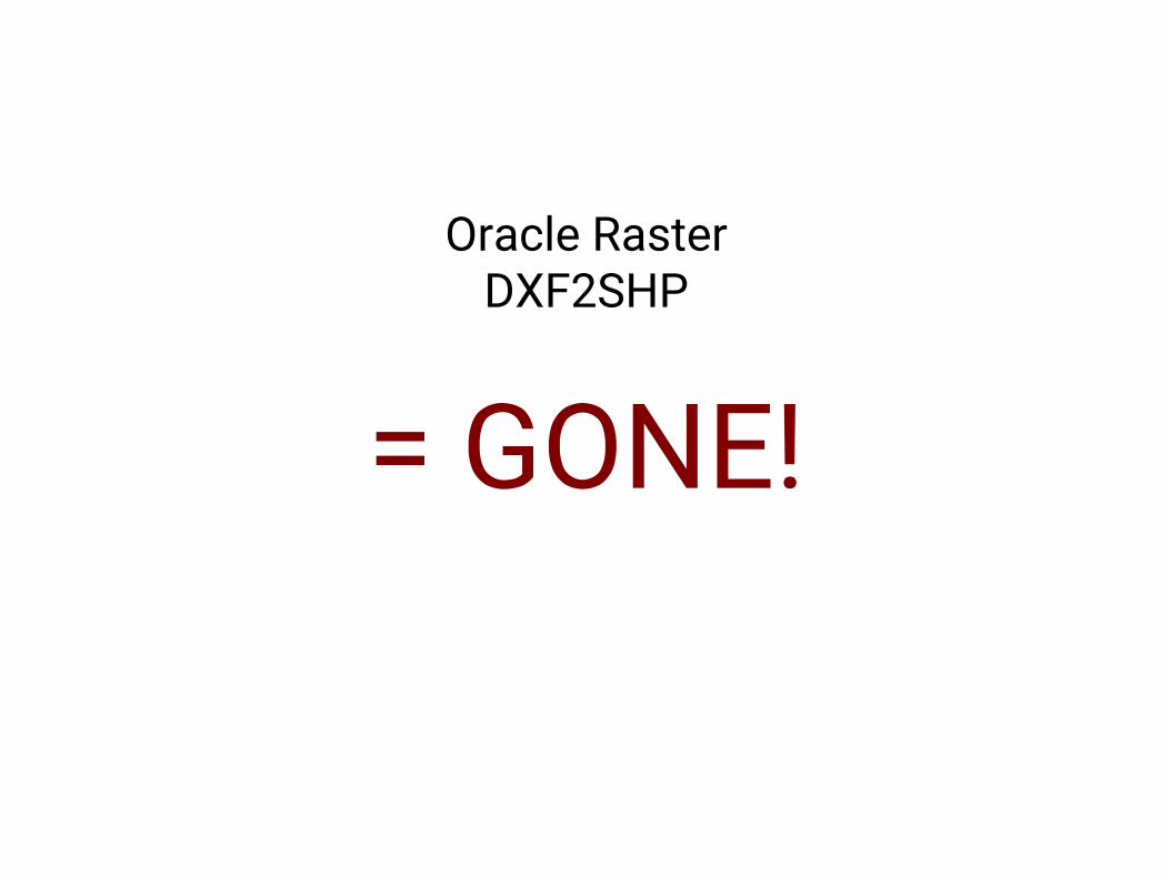
Oracle RasterDXF2SHP
= GONE!

HeatmapRoad Graph
Geometry SnapperRaster Terrain Analysis
InterpolationGDALtools
Spatial QueryZonal Statistics
Moved to Processing! Woo!

“Unified add layers window”

Exe load and crash handler


Settings Migration

● Migration of connection strings, colors.● Auth.db migration● Symbols migration

User Profiles

Node Tool/Move Features Tool

● “Click-click” method● Works with CAD dock!
● Multi-feature edits● Copy and move

Project Compatibility


Bump old projects up through 2.18

New Layer Group Behavior

Processing

● “Dropped” core providers (TauDEM, LAStools, R)● Options moved to general settings
● Transparent reprojection when required!● “Selected features only” has changed
● 100s of changes to algorithms

2.x Models are not compatible!

UI Consistency

● Transparency/Opacity● Rotation/Scale (labeling)

BONUSROUND!

MULTICANVAS!

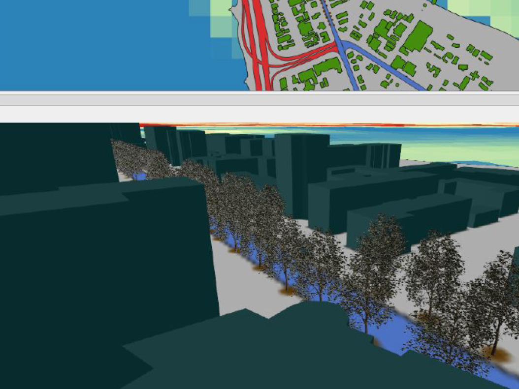
3D!


SEARCHBAR!

+1000!

![TULLETT PREBON (EUROPE) OTF RULEBOOKTullett Prebon (Europe) OTF Rulebook [version 1.01; effective 20 February 2018] 2 3. Extension or Waiver of OTF Rules 3.1 If necessary and expedient,](https://img.pdfslide.net/doc/110x75/603281d91a010e4bad09b413/tullett-prebon-europe-otf-rulebook-tullett-prebon-europe-otf-rulebook-version.jpg)


![[BMIm][Fe(OTf)3], [BMIm][Mn(OTf)3], [BMIm][Li(OTf)2 ...znaturforsch.com/s68b/s68b0003.pdf · the non-coordinating properties of some ionic liquids, favoring a coordination of ligands](https://img.pdfslide.net/doc/110x75/5e79fdd9e0173f1b98680110/bmimfeotf3-bmimmnotf3-bmimliotf2-the-non-coordinating-properties.jpg)