Embed Size (px)
Citation preview
Relevant, Ready, Responsive, Reliable 1
Addressing the Flood Risk Challenge

Relevant, Ready, Responsive, Reliable 2
Objective
• Work in collaborative partnership with other agencies and stakeholders to develop an integrated national flood risk management strategy
• Minimize risks to public safety from flood hazards
• Provide flood damage reduction systems that are safe, reliable and managed in a partnership of shared responsibility
Relevant, Ready, Responsive, Reliable 3
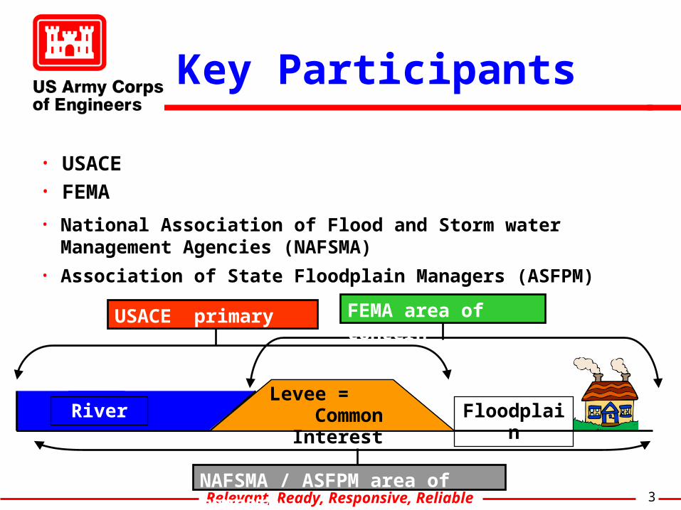
Key Participants
• USACE
NAFSMA / ASFPM area of concern
USACE primary focus
LeveeRiver Floodplain
FEMA area of concern
• FEMA
• National Association of Flood and Storm water Management Agencies (NAFSMA)
• Association of State Floodplain Managers (ASFPM)
Levee = Common Interest
Relevant, Ready, Responsive, Reliable 4
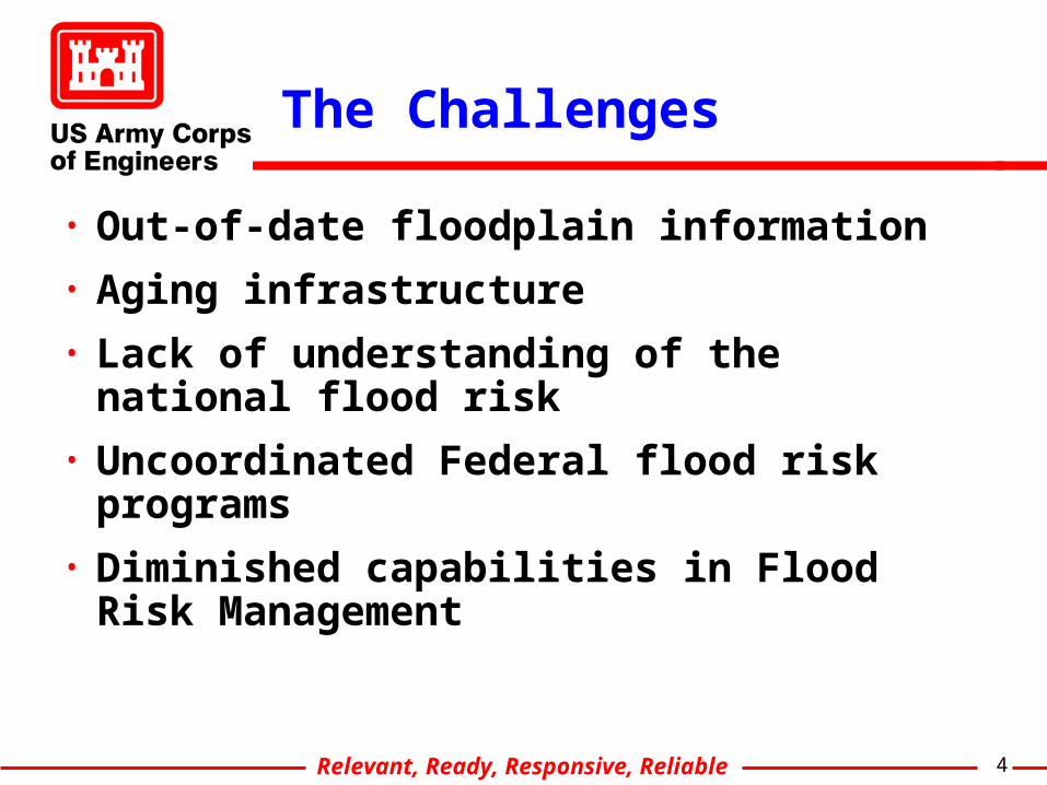
The Challenges
• Out-of-date floodplain information
• Aging infrastructure
• Lack of understanding of the national flood risk
• Uncoordinated Federal flood risk programs
• Diminished capabilities in Flood Risk Management

Relevant, Ready, Responsive, Reliable 5
Independent Advice(Interagency Flood Risk Management Committee)
SES OversightGroup
Program Director
Flood Mapping &
Certifications
Inventory &Assessments
Existing Infrastructure &
InspectionsReview
Initiatives, Policy &
Legislation
Projects & Pre-Flood Programs
CongressionalLiaisons & Budgeting
Principal Advisory Group
Executive Direction
Program Integration
ENGINEERING OPS PLANNING PROGRAMS
National Flood Risk Management Initiative Program Leaders

Relevant, Ready, Responsive, Reliable 6
Out-of-Date Floodplain Information
• Interim Strategy– Expand partnership and dialogue with FEMA on Map Modernization
• Actions Initiated – Corps Map Modernization PDT – Collection of available information on Corps Federal
levees/floodwalls and shared information with FEMA– Levee Certification Technical team
• Long-Term – More closely align FEMA’s NFIP program with Corps FDR and
Inspection programs
Relevant, Ready, Responsive, Reliable 7
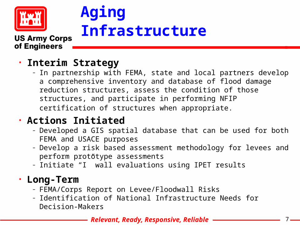
Aging Infrastructure
• Interim Strategy– In partnership with FEMA, state and local partners develop a
comprehensive inventory and database of flood damage reduction structures, assess the condition of those structures, and participate in performing NFIP certification of structures when appropriate.
• Actions Initiated – Developed a GIS spatial database that can be used for both FEMA and
USACE purposes– Develop a risk based assessment methodology for levees and perform
prototype assessments – Initiate “I” wall evaluations using IPET results
• Long-Term– FEMA/Corps Report on Levee/Floodwall Risks– Identification of National Infrastructure Needs for Decision-Makers
Relevant, Ready, Responsive, Reliable 8
Leve
l of
Pro
tect
ion
Levee Categories
Area represents all levees throughout the US.
4
Local
3
Local built / Enrolled in RIP
593
1
Federal O&M
69
2
USACE built /Local O&M800
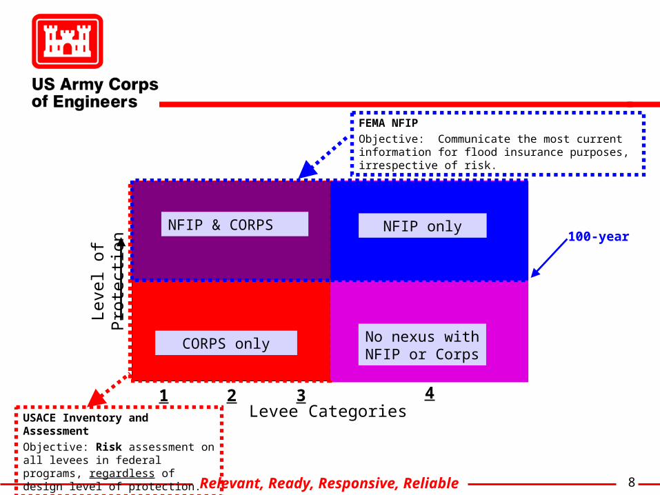
USACE Inventory and Assessment
Objective: Risk assessment on all levees in federal programs, regardless of design level of protection.
CORPS only
NFIP onlyNFIP & CORPS
No nexus with NFIP or Corps
FEMA NFIP
Objective: Communicate the most current information for flood insurance purposes, irrespective of risk.
100-year

Relevant, Ready, Responsive, Reliable 9
USACE Levee Program Level of Protection
Agricultural Levees #
Ag Miles
Rural Levees #
Rural Miles
Urban Levees #
Urban Miles
Total # Total Miles
0 to 24 yrs 204 1281 108 676 231 316 543 2273
25 to 49 yrs 43 489 12 39 49 537 104 1063
50 to 99 yrs 103 926 82 528 162 932 347 8679
100 to 500 yrs 135 1464 175 2888 608 2334 918 6686
> 500 yrs 18 122 14 739 46 171 78 1032
Total 503 4284 391 4871 1096 4291 1990 13446 Inspection Rating
Agricultural Levees #
Ag Miles
Rural Levees #
Rural Miles
Urban Levees #
Urban Miles
Total # Total Miles
Acceptable 313 2490 151 2570 566 1546 1030 6606 Minimally Acceptable
155 1512 173 1811 467 2309 795 5632
Unacceptable 35 278 66 494 64 435 165 1208
Relevant, Ready, Responsive, Reliable 10
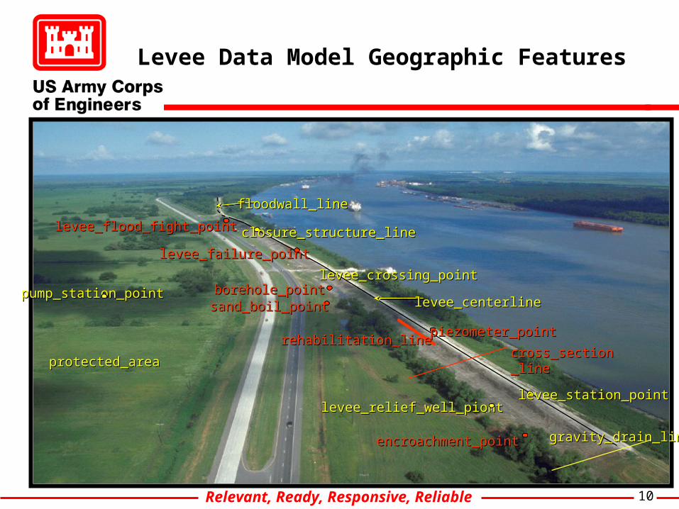
floodwall_linefloodwall_line
levee_centerlinelevee_centerline
protected_areaprotected_area
pump_station_pointpump_station_point
levee_relief_well_piontlevee_relief_well_piont
closure_structure_lineclosure_structure_line
levee_crossing_pointlevee_crossing_point
levee_station_pointlevee_station_point
gravity_drain_linegravity_drain_line
piezometer_pointpiezometer_point
borehole_pointborehole_point sand_boil_pointsand_boil_point
levee_flood_fight_pointlevee_flood_fight_point
levee_failure_pointlevee_failure_point
cross_section_linecross_section_line
encroachment_pointencroachment_point
rehabilitation_linerehabilitation_line
Levee Data Model Geographic Features
Relevant, Ready, Responsive, Reliable 11
Federal Flood Damage Reduction Programs are Uncoordinated
• Interim Strategy– Continue and expand partnership and dialogue with FEMA, other Federal
Agencies and NGOs to integrate Flood Damage Reduction Programs
• Short Term Action Plan– Established the Flood Risk Management Initiative, and the Interagency
Flood Risk Management Committee– Maintain and expand Silver Jacket Initiative for coordination within States.– Corps levee certification guidance collaborated with FEMA– Participate in FEMA’s Interagency Levee Policy Committee
• Long Term– FEMA-Corps Team to develop proposals on modifying federal policy to
maximize return on federal funds used for FDR– Fully integrated Federal programs that contribute to flood risk
management
Relevant, Ready, Responsive, Reliable 12
Improving Corps Capabilities
• Interim Strategy– Increase emphasis on Corps technical competency in areas of risk
assessments, project reliability and inspections
• Short Term Action Plan– Establish ICW PDT to develop and implement improvement plan for
inspection programs, and linking ICW efforts to the Corps Inventory and Assessment Program and FEMA’s NFIP
– Development of a Risk Assessment Methodology for levees
• Long Term– PDT’s to
o Develop recommendations for improving risk capabilities and building awareness of risk management techniques
o Improve flood risk technical policy, criteria, evaluation processes
Relevant, Ready, Responsive, Reliable 13
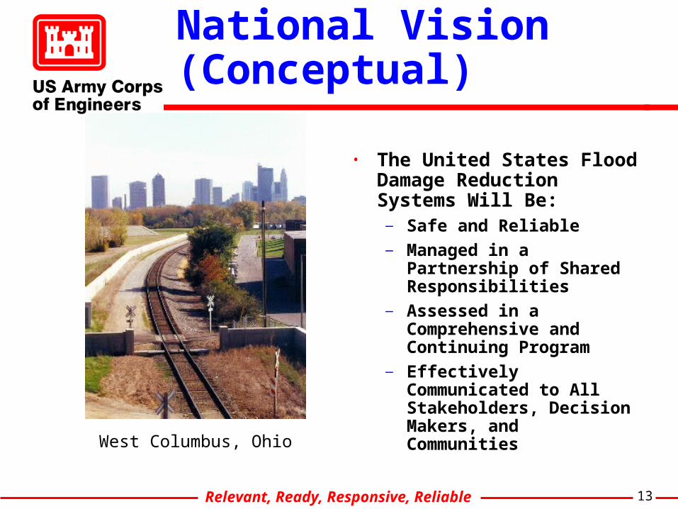
National Vision (Conceptual)
• The United States Flood Damage Reduction Systems Will Be:
— Safe and Reliable— Managed in a Partnership of
Shared Responsibilities— Assessed in a Comprehensive
and Continuing Program— Effectively Communicated to
All Stakeholders, Decision Makers, and Communities
West Columbus, Ohio
Relevant, Ready, Responsive, Reliable 14
Questions ?