Embed Size (px)
Citation preview
Visit bloomsbury.com/childrens for more reading guides
1
— 1 —
11
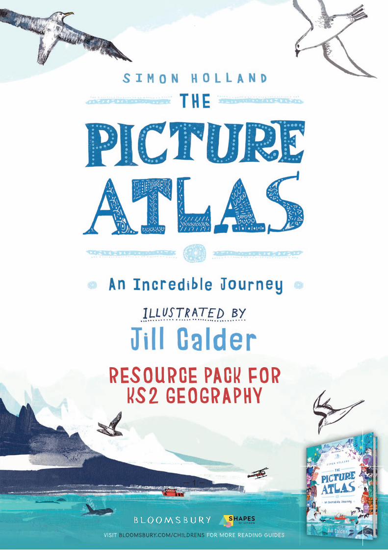
RESOURCE PACK FOR KS2 GEOGRAPHY
Visit bloomsbury.com/childrens for more reading guides
— 2 —
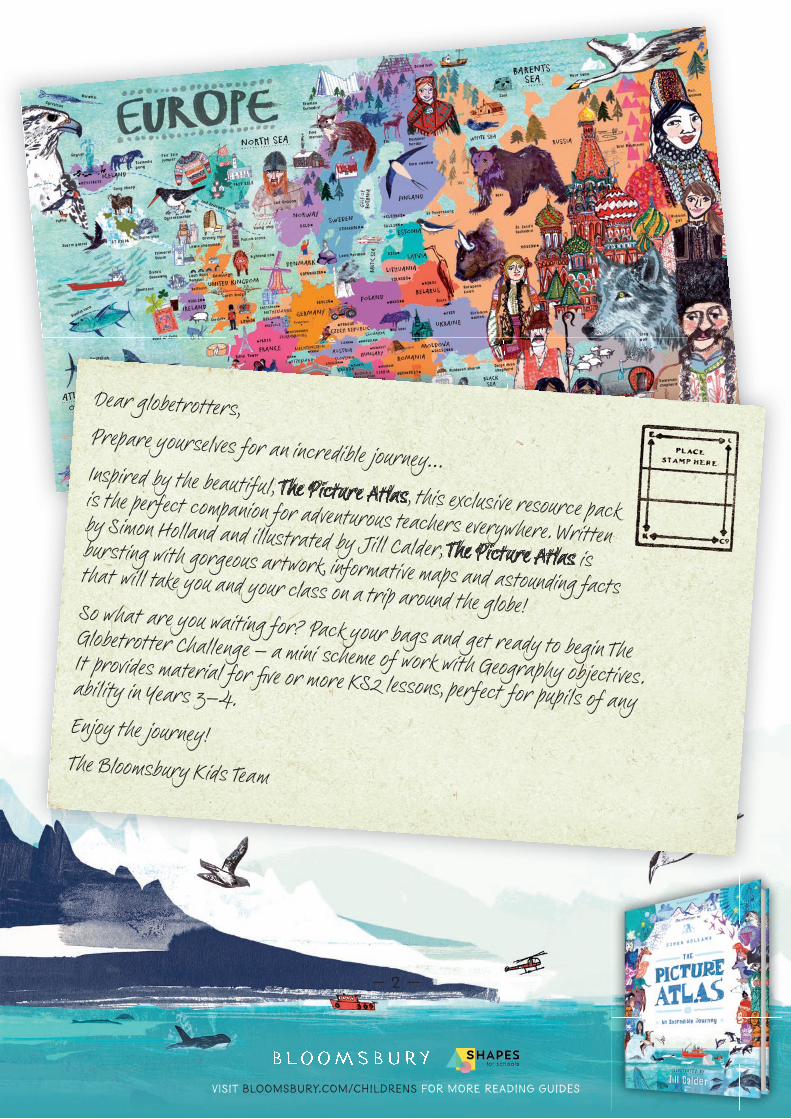
Dear globetrotters,Prepare yourselves for an incredible journey… Inspired by the beautiful, The Picture Atlas, this exclusive resource pack is the perfect companion for adventurous teachers everywhere. Written by Simon Holland and illustrated by Jill Calder, The Picture Atlas is bursting with gorgeous artwork, informative maps and astounding facts that will take you and your class on a trip around the globe!So what are you waiting for? Pack your bags and get ready to begin The Globetrotter Challenge – a mini scheme of work with Geography objectives.
It provides material for fi ve or more KS2 lessons, perfect for pupils of any ability in Years 3–4.Enjoy the journey!The Bloomsbury Kids Team
Visit bloomsbury.com/childrens for more reading guides
3
— 3 —
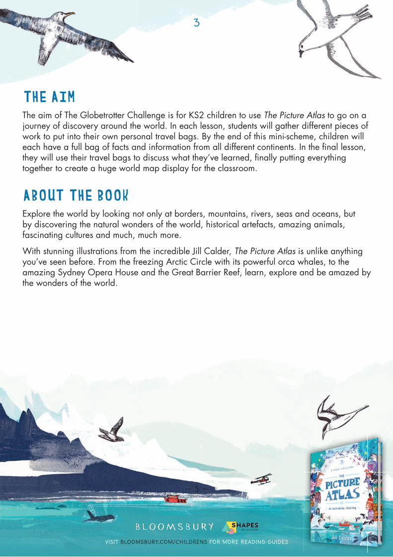
THE AIMThe aim of The Globetrotter Challenge is for KS2 children to use The Picture Atlas to go on a journey of discovery around the world. In each lesson, students will gather different pieces of work to put into their own personal travel bags. By the end of this mini-scheme, children will each have a full bag of facts and information from all different continents. In the fi nal lesson, they will use their travel bags to discuss what they’ve learned, fi nally putting everything together to create a huge world map display for the classroom.
ABOUT THE BOOKExplore the world by looking not only at borders, mountains, rivers, seas and oceans, but by discovering the natural wonders of the world, historical artefacts, amazing animals, fascinating cultures and much, much more.
With stunning illustrations from the incredible Jill Calder, The Picture Atlas is unlike anything you’ve seen before. From the freezing Arctic Circle with its powerful orca whales, to the amazing Sydney Opera House and the Great Barrier Reef, learn, explore and be amazed by the wonders of the world.
Visit bloomsbury.com/childrens for more reading guides
4
— 4 —
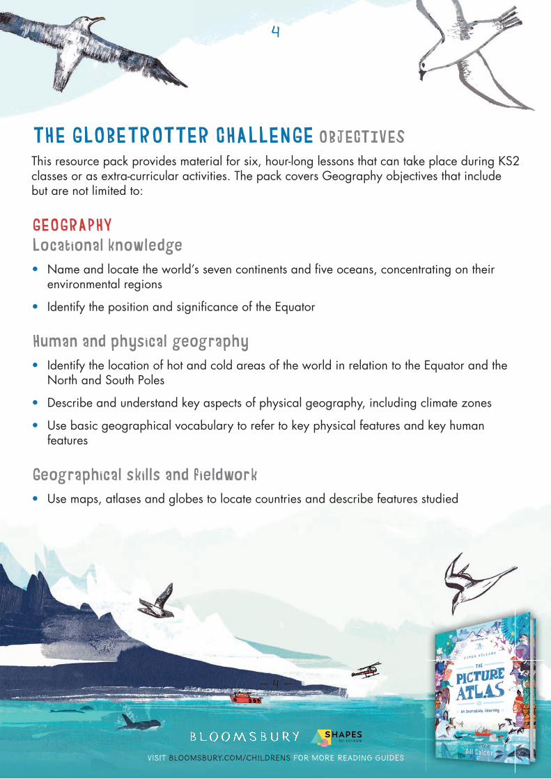
THE GLOBETROTTER CHALLENGE OBJECTIVESThis resource pack provides material for six, hour-long lessons that can take place during KS2 classes or as extra-curricular activities. The pack covers Geography objectives that include but are not limited to:
GEOGRAPHYLocational knowledge• Name and locate the world’s seven continents and fi ve oceans, concentrating on their
environmental regions
• Identify the position and signifi cance of the Equator
Human and physical geography• Identify the location of hot and cold areas of the world in relation to the Equator and the
North and South Poles
• Describe and understand key aspects of physical geography, including climate zones
• Use basic geographical vocabulary to refer to key physical features and key human features
Geographical skills and fieldwork• Use maps, atlases and globes to locate countries and describe features studied
Visit bloomsbury.com/childrens for more reading guides
5
— 5 —
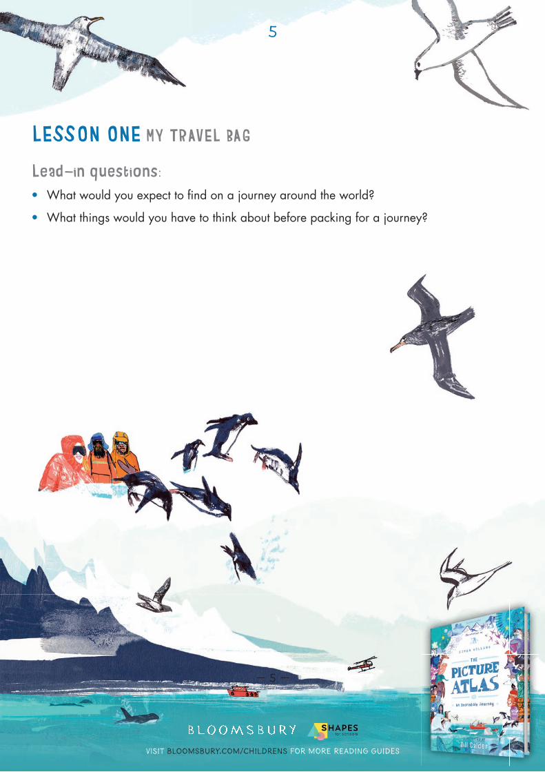
LESSON ONE MY TRAVEL BAG
Lead-in questions:• What would you expect to fi nd on a journey around the world?
• What things would you have to think about before packing for a journey?
Visit bloomsbury.com/childrens for more reading guides
6
— 6 —
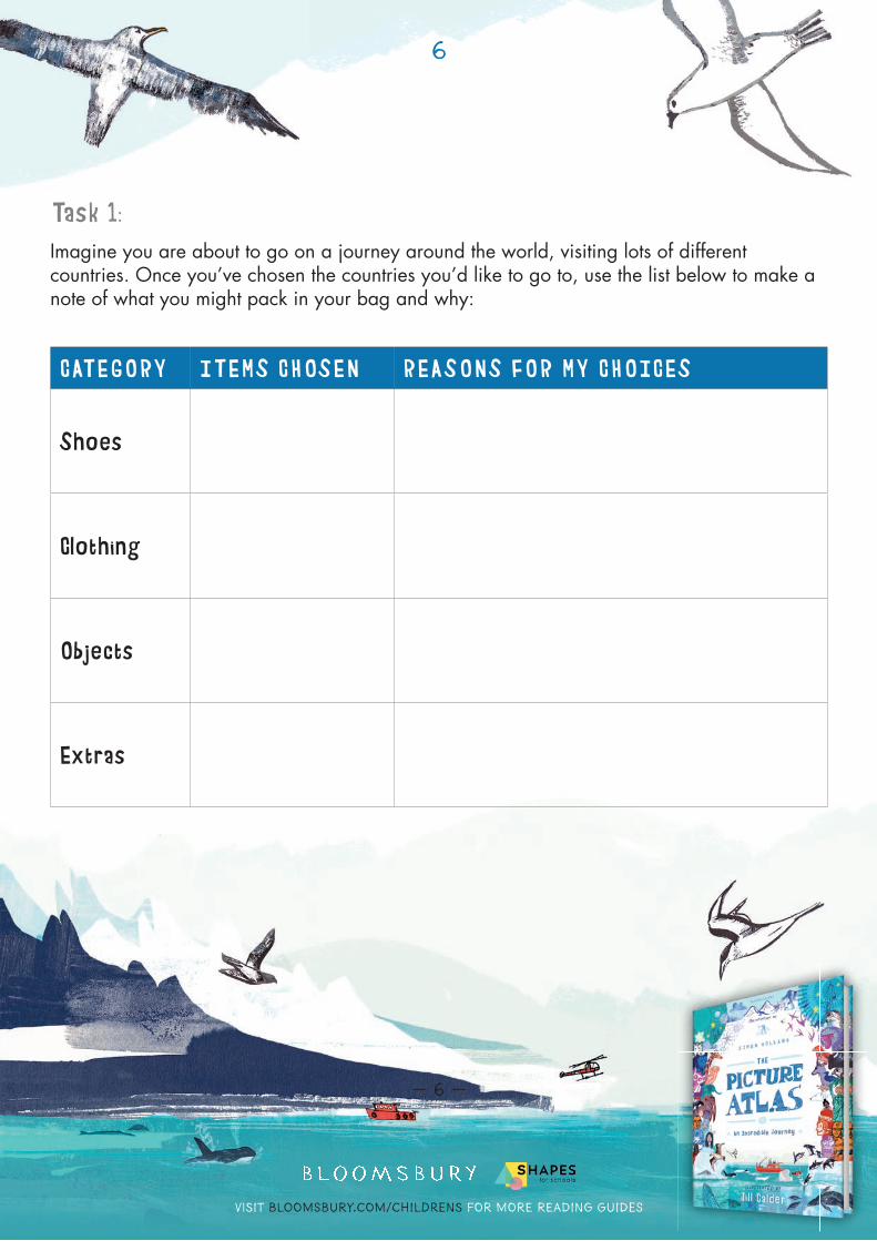
Task 1:Imagine you are about to go on a journey around the world, visiting lots of different countries. Once you’ve chosen the countries you’d like to go to, use the list below to make a note of what you might pack in your bag and why:
CATEGORY ITEMS CHOSEN REASONS FOR MY CHOICES
Shoes
Clothing
Objects
Extras
Visit bloomsbury.com/childrens for more reading guides
7
— 7 —
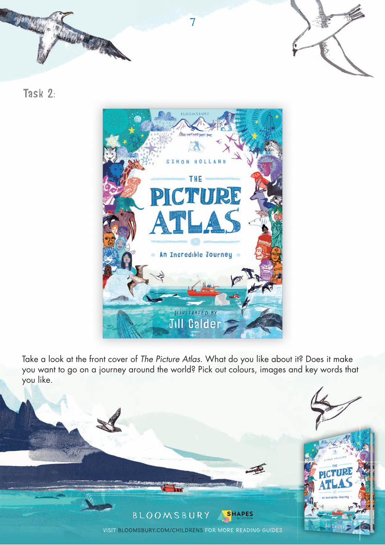
Task 2:
Take a look at the front cover of The Picture Atlas. What do you like about it? Does it make you want to go on a journey around the world? Pick out colours, images and key words that you like.
Visit bloomsbury.com/childrens for more reading guides
8
— 8 —
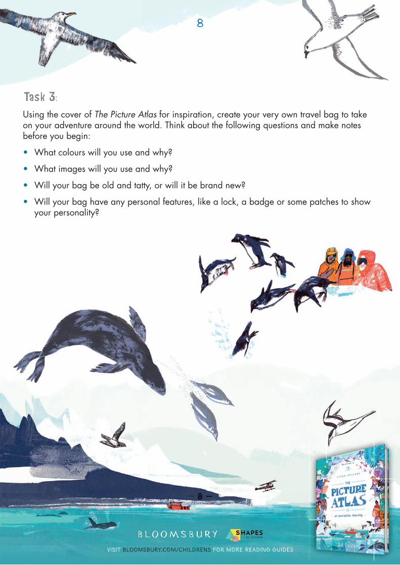
Task 3:Using the cover of The Picture Atlas for inspiration, create your very own travel bag to take on your adventure around the world. Think about the following questions and make notes before you begin:
• What colours will you use and why?
• What images will you use and why?
• Will your bag be old and tatty, or will it be brand new?
• Will your bag have any personal features, like a lock, a badge or some patches to show your personality?
— 8 —
Visit bloomsbury.com/childrens for more reading guides
9
— 9 —
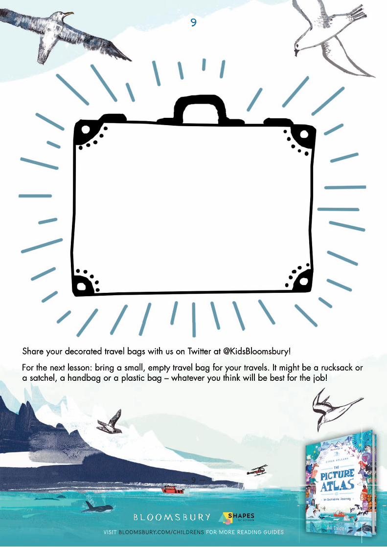
Share your decorated travel bags with us on Twitter at @KidsBloomsbury!
For the next lesson: bring a small, empty travel bag for your travels. It might be a rucksack or a satchel, a handbag or a plastic bag – whatever you think will be best for the job!
9
Share your decorated travel bags with us on Twitter at @KidsBloomsbury!
For the next lesson: bring a small, empty travel bag for your travels. It might be a rucksack or a satchel, a handbag or a plastic bag – whatever you think will be best for the job!
Visit bloomsbury.com/childrens for more reading guides
10
— 10 —
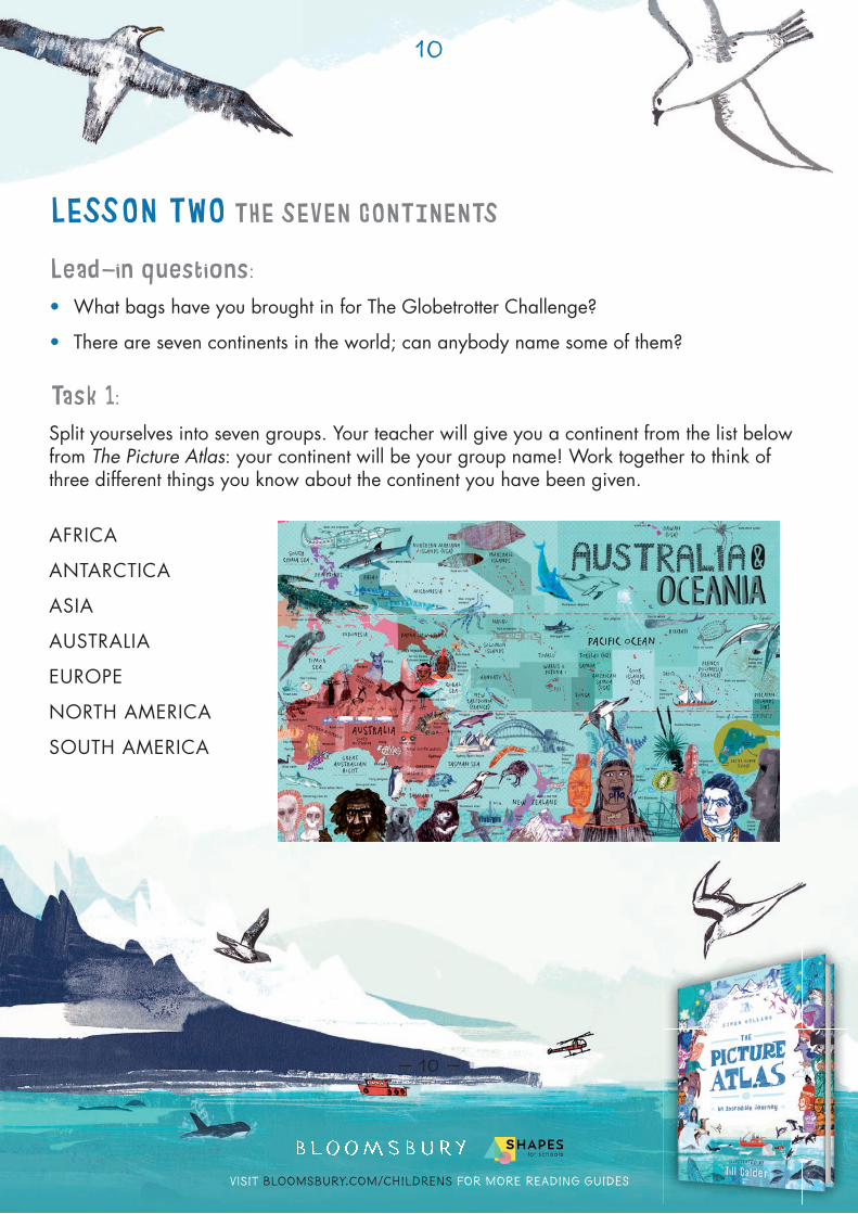
LESSON TWO THE SEVEN CONTINENTS
Lead-in questions:• What bags have you brought in for The Globetrotter Challenge?
• There are seven continents in the world; can anybody name some of them?
Task 1:Split yourselves into seven groups. Your teacher will give you a continent from the list below from The Picture Atlas: your continent will be your group name! Work together to think of three different things you know about the continent you have been given.
AFRICA
ANTARCTICA
ASIA
AUSTRALIA
EUROPE
NORTH AMERICA
SOUTH AMERICA
Visit bloomsbury.com/childrens for more reading guides
11
— 11 —
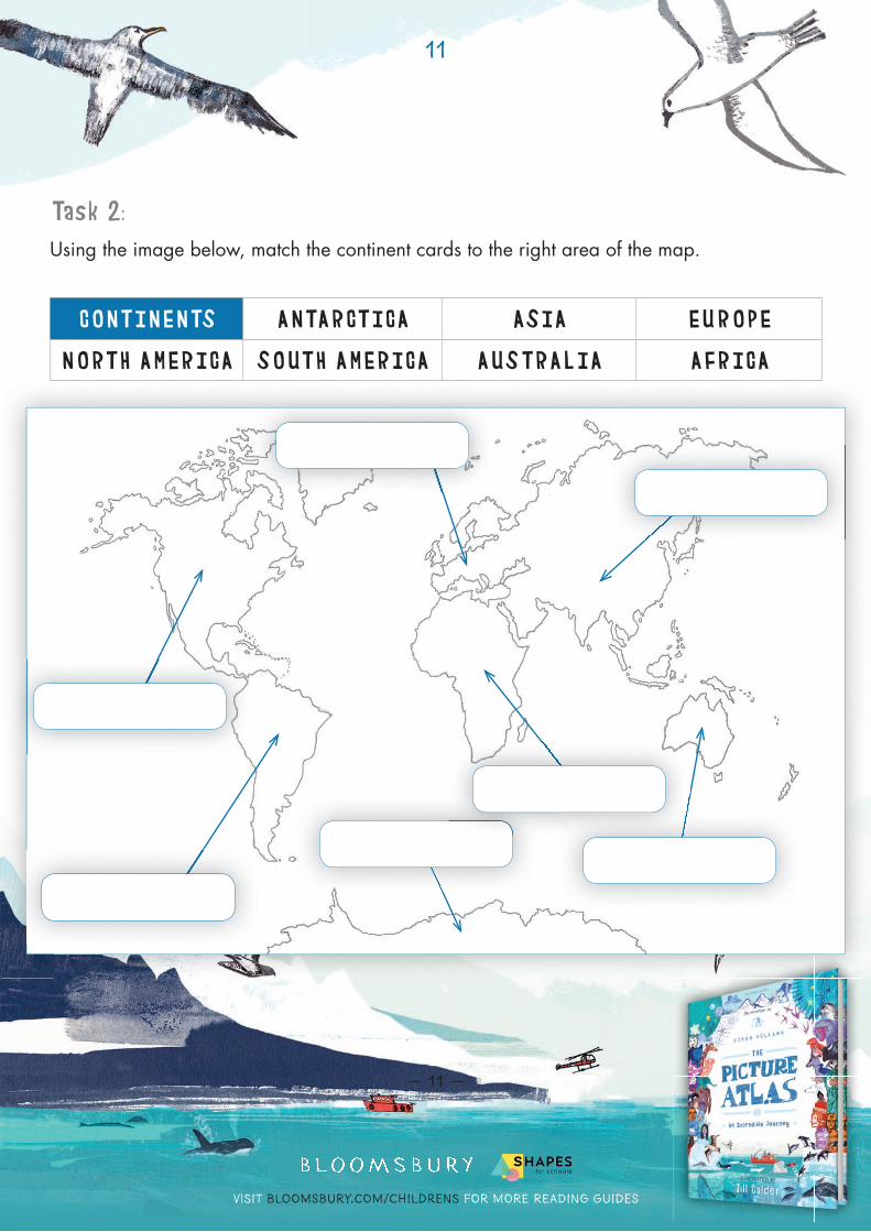
Task 2:Using the image below, match the continent cards to the right area of the map.
CONTINENTS ANTARCTICA ASIA EUROPE
NORTH AMERICA SOUTH AMERICA AUSTRALIA AFRICA
Visit bloomsbury.com/childrens for more reading guides
12
— 12 —
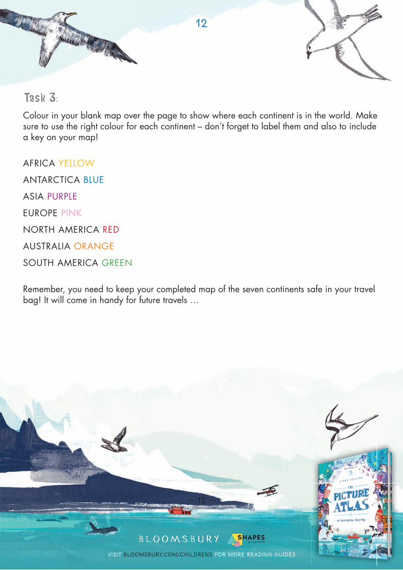
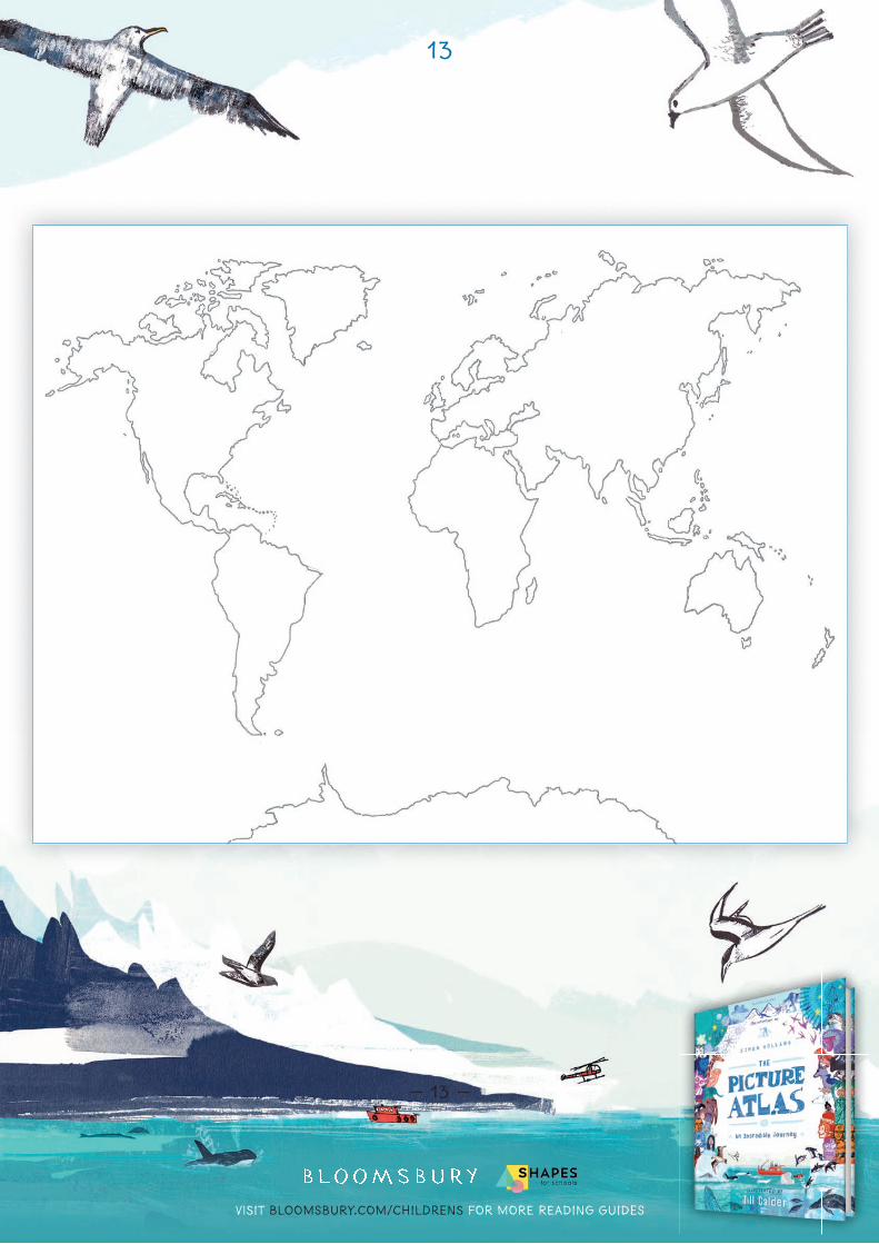
Task 3:Colour in your blank map over the page to show where each continent is in the world. Make sure to use the right colour for each continent – don’t forget to label them and also to include a key on your map!
AFRICA YELLOW
ANTARCTICA BLUE
ASIA PURPLE
EUROPE PINK
NORTH AMERICA RED
AUSTRALIA ORANGE
SOUTH AMERICA GREEN
Remember, you need to keep your completed map of the seven continents safe in your travel bag! It will come in handy for future travels …
Visit bloomsbury.com/childrens for more reading guides
13
— 13 —
Visit bloomsbury.com/childrens for more reading guides
14
— 14 —
LESSON THREE COUNTRIES
Re-cap questions:• What is the name of your group’s continent?
• Do you know the names of any countries that are in your group’s continent?
Task 1:Can you match each list of countries below to the right continent? Use your continent cards from Lesson Two to match them up!
COUNTRIES EGYPT, MOROCCO AND KENYA
CHINA, INDIA AND JAPAN
CANADA AND THE USA
FRANCE, POLAND AND THE UK
AUSTRALIA, NEW ZEALAND AND FIJI
ARGENTINA, PERU AND BRAZIL
CLAIMED BY SEVERAL COUNTRIES
Task 2:Now add these countries to the map that you completed in Lesson Two. Make sure that you put them in the right continent!
Keep your maps safe inside your travel bags.
Visit bloomsbury.com/childrens for more reading guides
15
— 15 —
Task 3:It’s time to get creative! In your groups, pick a country from the continent your teacher has given you. Using your research skills, recreate your country’s fl ag in the space provided below. When everyone has fi nished, you should have a fl ag for lots of different countries around the globe!
Put your fl ags around the room by tying each fl ag to a piece of string to create bunting. If you want to keep your fl ag, make sure that you save a copy of it in your travel bag. Share pictures of your fl ags with us on Twitter at @KidsBloomsbury!pictures of your fl ags with us on Twitter at @KidsBloomsbury!
Visit bloomsbury.com/childrens for more reading guides
16
— 16 —
LESSON FOUR THE EQUATOR
Re-cap questions:• How many countries can you remember from last lesson?
• Which continents did they belong to?
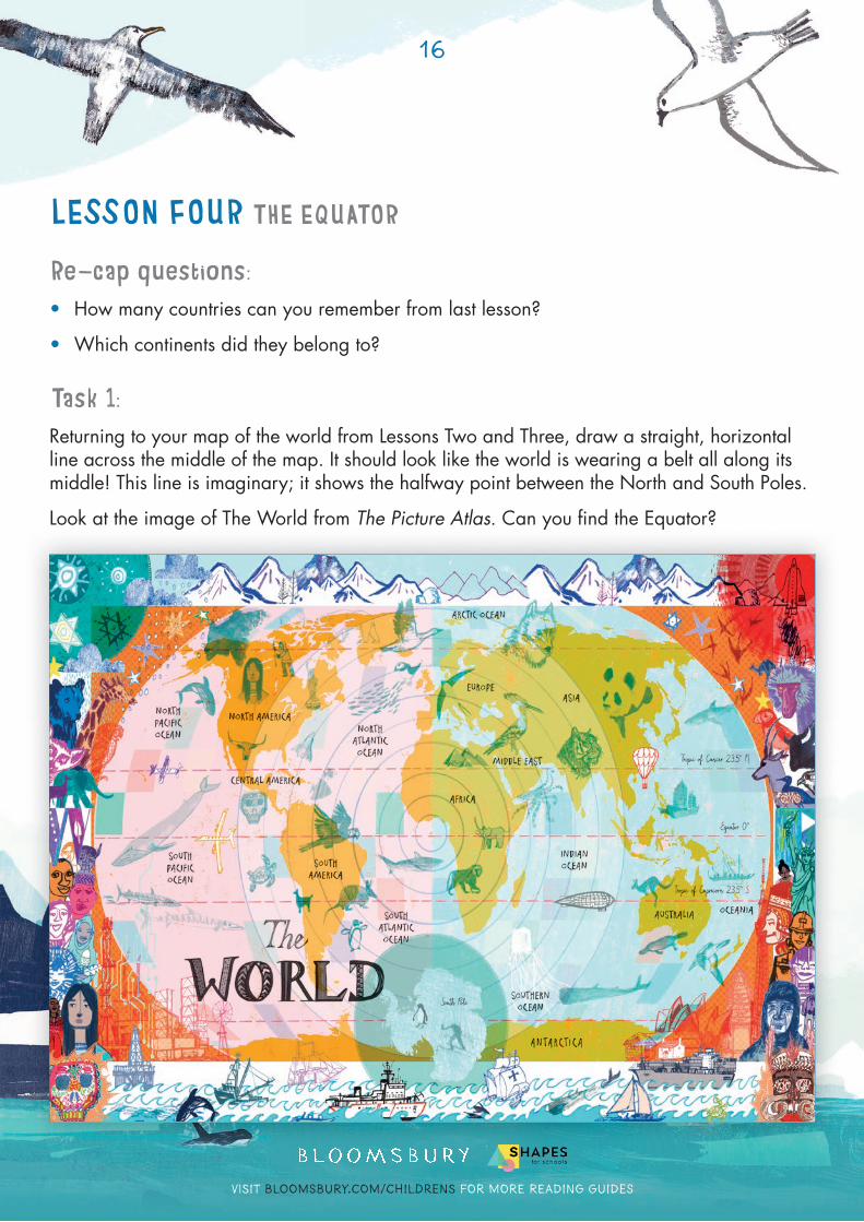
Task 1:Returning to your map of the world from Lessons Two and Three, draw a straight, horizontal line across the middle of the map. It should look like the world is wearing a belt all along its middle! This line is imaginary; it shows the halfway point between the North and South Poles.
Look at the image of The World from The Picture Atlas. Can you fi nd the Equator?
— 16 —
Visit bloomsbury.com/childrens for more reading guides
17
— 17 —
Task 2:Label this line on your map as ‘The Equator’. You should also draw two arrows, one that points ‘North’ and one that points ‘South’. Then label the two sections of your maps as follows:
• The Northern Hemisphere (anything north of the Equator)
• The Southern Hemisphere (anything south of the Equator)
Task 3:The Equator runs through lots of countries and continents. The closer a country is to the Equator, the more sunshine it has and the warmer it gets. Looking at your map, can you guess which continent might be the coldest? Can you say why?
Task 4:Time to create a real-life model of the world’s continents!
Use the line of bunting that you made last lesson to create an Equator in the classroom – remember it should run through the center of the room. Now, in your continents groups, use your maps to stand exactly where you should in relation to the equator. Remember to work together! Ask your teacher to take a photograph or a video and to share it with us on Twitter at @KidsBloomsbury!
Visit bloomsbury.com/childrens for more reading guides
18
— 18 —
LESSON FIVE HOT AND COLD
Re-cap questions:• What is the Equator?
• How does being close to the Equator affect the climate of a country?
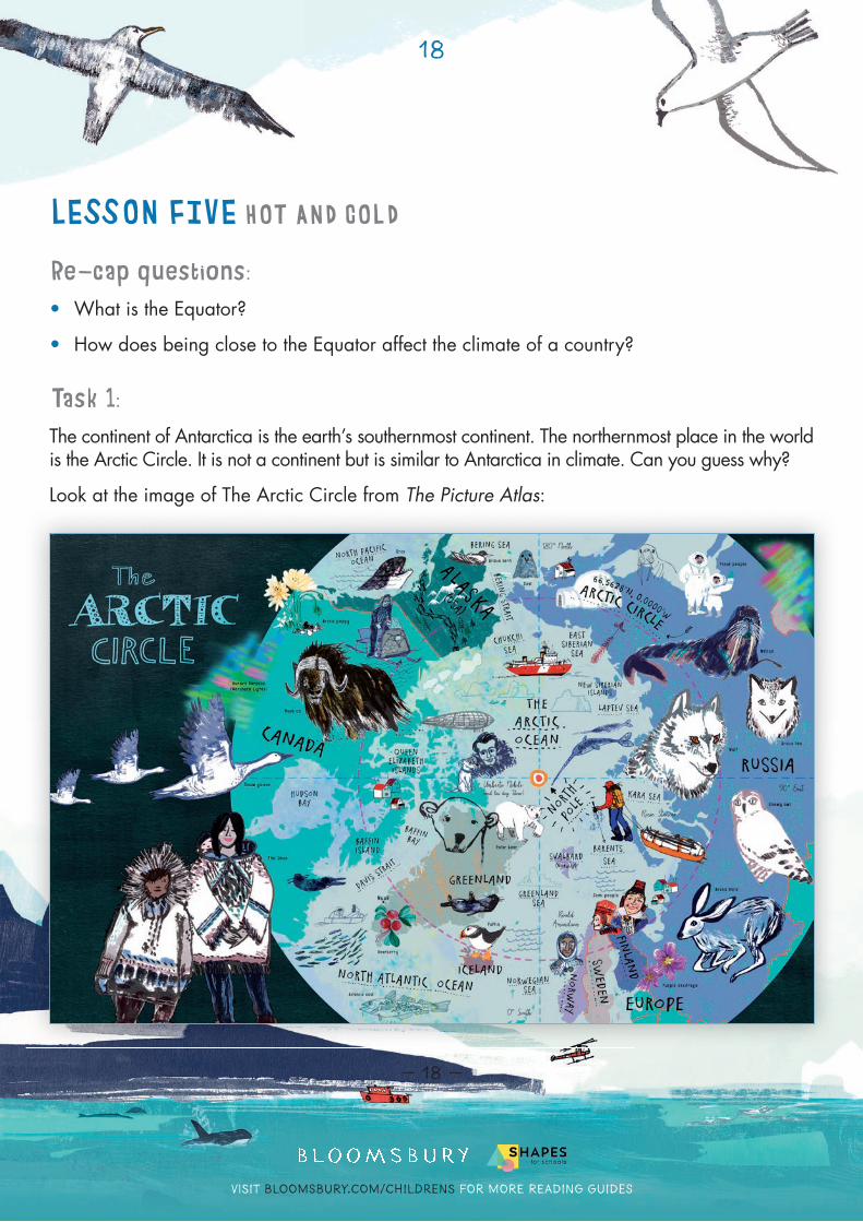
Task 1:The continent of Antarctica is the earth’s southernmost continent. The northernmost place in the world is the Arctic Circle. It is not a continent but is similar to Antarctica in climate. Can you guess why?
Look at the image of The Arctic Circle from The Picture Atlas:
Visit bloomsbury.com/childrens for more reading guides
19
— 19 —
Make a note of what you can see by fi lling in the following Arctic Circle Fact-fi le:
WHAT I CAN SEE WHAT IT TELLS ME ABOUT THE ARCTIC CIRCLE
E.g. Snowy owls It tells me that it is a white place with lots of snow
Visit bloomsbury.com/childrens for more reading guides
20
— 20 —
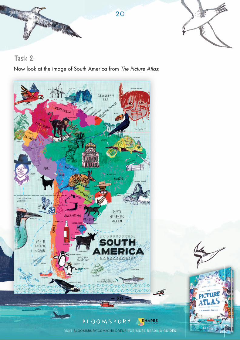
Task 2:Now look at the image of South America from The Picture Atlas:
— 20 —
Visit bloomsbury.com/childrens for more reading guides
21
— 21 —
Make a note of what you can see by fi lling in the following South America Fact-fi le:
WHAT I CAN SEE WHAT IT TELLS ME ABOUT THE ARCTIC CIRCLE
E.g. The Equator It is very hot in parts of South America
Visit bloomsbury.com/childrens for more reading guides
22
— 22 —
Task 3:Choose one of the two locations: either The Arctic Circle or South America.
Imagine you’ve gone on a journey to your chosen place. Draw a postcard to send to your family – make sure that you include the following things:
• A drawing of a native animal
• A drawing of some local food
• A drawing of some local people
• A drawing that shows the climate of your chosen place
If you prefer to write about your place rather than draw it then that is brilliant too! Just make sure that you include all of the elements above.
Visit bloomsbury.com/childrens for more reading guides
— 23 —
Visit bloomsbury.com/childrens for more reading guides
24
— 24 —
LESSON SIX WORLD DISPLAY!
Feedback questions:• What have you enjoyed about these lessons?
• What have you learned?
Final task:You’ve done all the hard work, you’ve been on an adventure around the globe – and you’ve got a full travel bag to prove it! All you need to do now is collect everything you’ve learned, work together as a class, and create one big, creative display for your classroom.
We suggest you follow these simple steps, fi rst in your groups:
• Focus on your continent – fi nd out as much extra information as you can!
• Draw the shape of your continent so that it can be placed on a bigger world map display.
• Add any labels to your drawing, as well as countries and their fl ags.
Now, as a class:
• Piece all of the bits of your map together, like a giant jigsaw puzzle!
• Add the Equator to your map – be creative!
• Don’t forget to add a key to your map as well as any other bits and pieces – like your postcards or fact-fi les.
Visit bloomsbury.com/childrens for more reading guides
25
— 25 —
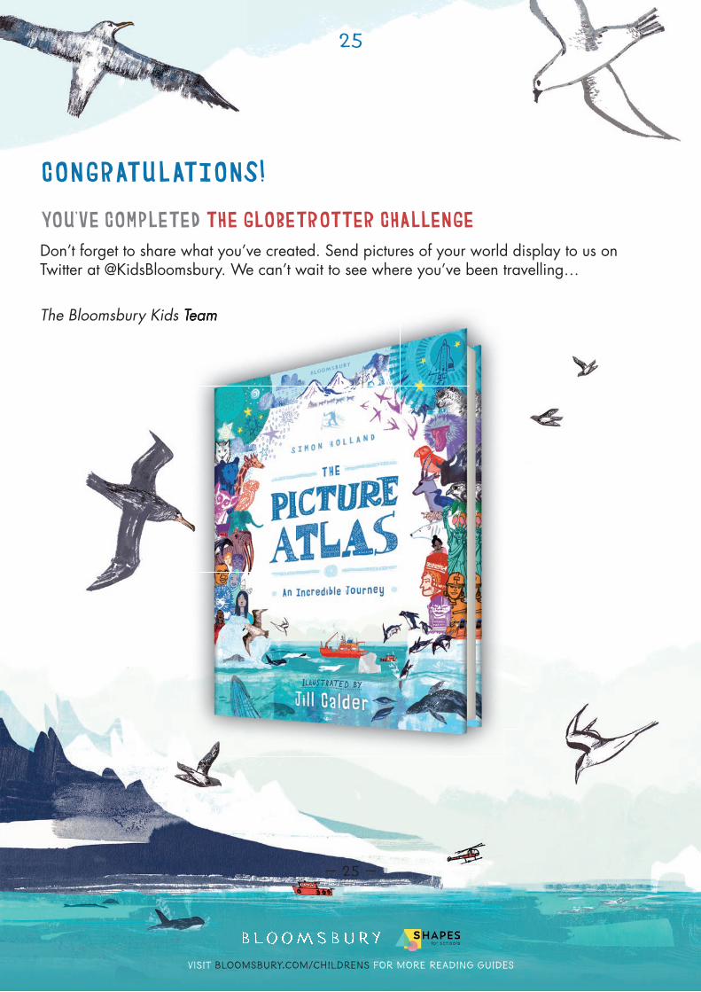
CONGRATULATIONS!
YOU’VE COMPLETED THE GLOBETROTTER CHALLENGEDon’t forget to share what you’ve created. Send pictures of your world display to us on Twitter at @KidsBloomsbury. We can’t wait to see where you’ve been travelling…
The Bloomsbury Kids TeamThe Bloomsbury Kids TeamThe Bloomsbury Kids Team


![Spanish Home Learning Pack · Microsoft PowerPoint - Spanish-Home-Learning-Pack for KS2 [Compatibility Mode] Created Date: 20200507123936Z](https://img.pdfslide.net/doc/110x75/5f0704667e708231d41ae218/spanish-home-learning-pack-microsoft-powerpoint-spanish-home-learning-pack-for.jpg)