Embed Size (px)
Citation preview

Review
Urban Geo
Urban Geo
• Defining urban geo:– Hinterland– Nucleated (clustered) vs dispersed settlement– Deindustrialization = post industrial city– Employment structure = type of jobs (primary,
tertiary, etc.)– Commercialization- selling goods/service for profit

Urban Geo
• CBD is very accessible, easiest part of city to get to– center of transp. network
• Retail Services becoming less important in CBD• High thresh., high range., serving DT workers• High costs in CBD from competition (bid rent)
and accessibility– Excluded activities (residential and industry)– Intensive land use (vertical geography- above and
below ground!)

Urban Geo
• Deindustrialization changes the urban landscape- ports/warehouses turned into museums, parks or other service activity
• Residents flee city life to live in suburbs• Own home, big land, better schools, better
atmosphere

Urban Geo• CBDs outside NA– Less commercial services; more residential– Old historic CBDs; churches and palaces most
important/tallest (usually)– Narrower streets cater to pedestrians, not cars– Land is more expensive– Poor in suburbs; wealthy in/closer to CBD– Skyscrapers in suburbs – Europe has dendritic (root-like) street pattern, not
grid
Urban Geo
• Models:– Concentric zone – Sector– Multiple nuclei– Peripheral model– Latin America Model– Asian Model– African Model
Urban Geo
• Concentric zone– Rings of land use/activities: poor wealthy in
outer rings– Cycle of invasion and succession
• Sector– City grows in wedges along certain areas:
waterfront housing, transportation lines

Urban Geo
• Multiple nuclei– City has more than one center = has multiple
“nodes” that attract different activities• Airport node attracts hotels and restaurants, while
university node attracts coffee shops and apartments • This gives us the urban realms concept with “suburban
DTs• Incompatible activities will segregate themselves
– High class housing located further away from industry and low class housing

Urban Geo
• Latin America Model– Wealthy spine (sector) extending from CBD; slums/squatter
settlements/shantytowns in periphery• African Model– 3 separate CBDs: colonial, traditional and market zone
• Asian Model– Located on ports for trade- city grows out from port– Entrepots- cities that re-export goods around world
• Islamic cities– City layout based off Quran; Mosque most important;
bazaar; structures built to protect the purity of women
Urban Geo
• Social area analysis uses census data to map neighborhoods
• Squatter settlements/slums/shantytowns– Rio de Janeiro, Brazil (favelas); Mumbai, India; and
any other megacity in an LDC– Occurs because infrastructure cannot keep up with
rapid urban growth (urbanization)– People come to city to find job, job is not there,
can’t go home, must stay and build own house
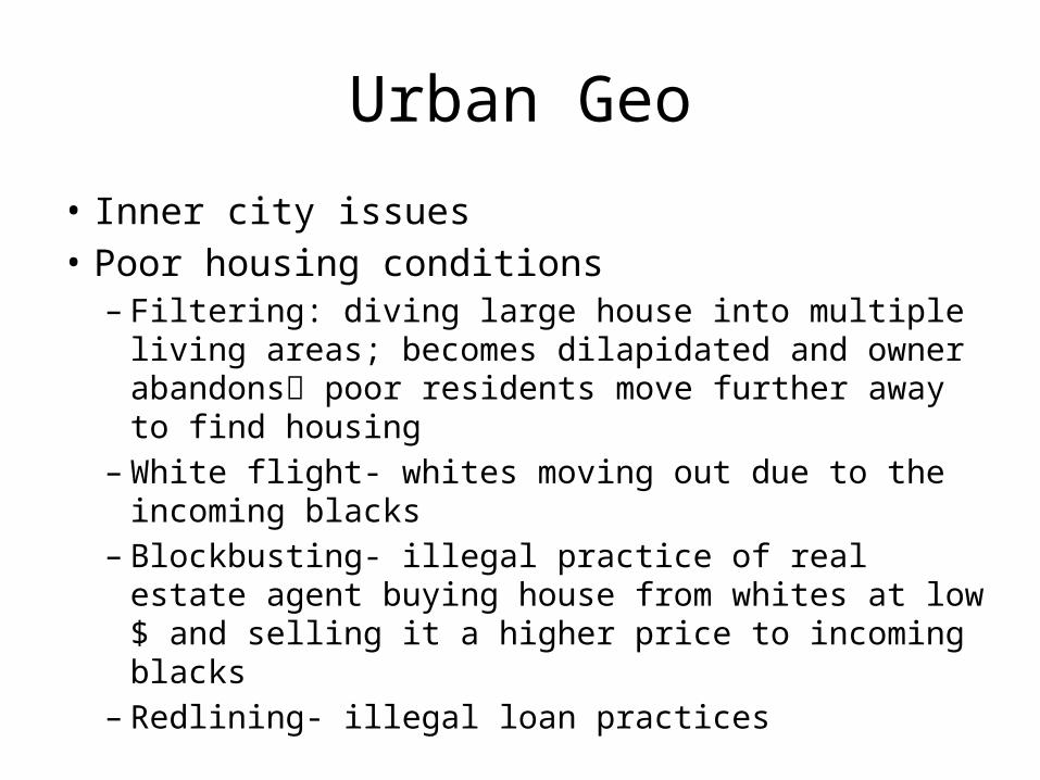
Urban Geo
• Inner city issues• Poor housing conditions– Filtering: diving large house into multiple living areas;
becomes dilapidated and owner abandons poor residents move further away to find housing
– White flight- whites moving out due to the incoming blacks
– Blockbusting- illegal practice of real estate agent buying house from whites at low $ and selling it a higher price to incoming blacks
– Redlining- illegal loan practices

Urban Geo
• Urban renewal – Gentrification by govt’s and middle class– Pushes lower income out now that property is
worth more– Changes traditional ethnic make up of city
(Chicago)- more whites in inner city, minorities pushed further out
– Revitalizing the CBD

Urban Geo
• Trapped in a permanent underclass in a culture of poverty– Characteristics – Clustering of ethnicities = self segregating
• Eroding tax base of inner city– Poor residents cannot pay taxes for the services
they demand– 2 choices: reduce services or raise tax revenues by
attracting businesses to employ inner city residents = more tax paying citizens

Urban Geo
• Annexation- taking on parts of a city• MSA = accounts for wide zone of influence
between cities• BosNyWash megalopolis/corridor along East
coast• Peripheral model– Shows sprawl/edge cities– Ring road/beltway ties city together

Urban Geo
• Density gradient decreases with distance from the center = less densely populated in suburbs; slight bounce back closer to city because of gentrification/revitalization efforts
• Sprawl– Eating up fertile farm land- waste of land– Highways facilitated- connecting suburbs with
CBD/other suburbs– Smart growth- infill development– Green belts in UK

Urban Geo
• Suburbs segregated in 2 ways– Social classes (ethnicity clustering together) and
land use (zoning)– “sandwiching” the poor: middle class moves in
inner city, poor moves out to inner suburbs, wealthy who didn’t go back to CBD move out to suburbs

Middle class: Newer homes
Poor older suburbs CBD
Gentrified inner-city: middle class
New Urban Model?
Urban Geo
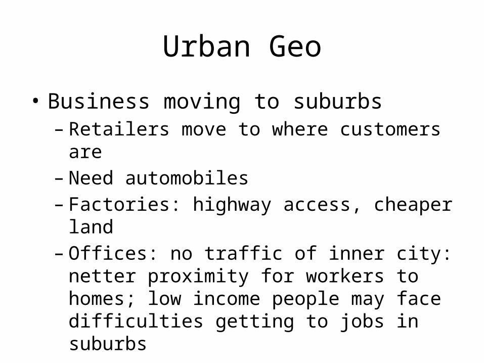
• Business moving to suburbs– Retailers move to where customers are– Need automobiles – Factories: highway access, cheaper land– Offices: no traffic of inner city: netter proximity for
workers to homes; low income people may face difficulties getting to jobs in suburbs

Urban Geo
• Transportation and Suburbanization– 4 eras: walking/horse; trolley car/trains; car;
highway/freeways– Cities are congested with traffic– Public transportation?
• Better in European cities (more subsidies)• US places high value on owning a vehicle
• Planned community– Gated, age restricted– Levittowns, leap-frog development
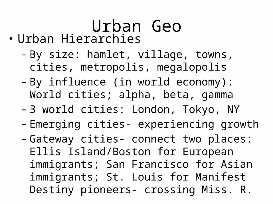
Urban Geo• Urban Hierarchies– By size: hamlet, village, towns, cities, metropolis,
megalopolis– By influence (in world economy): World cities; alpha,
beta, gamma – 3 world cities: London, Tokyo, NY– Emerging cities- experiencing growth– Gateway cities- connect two places: Ellis
Island/Boston for European immigrants; San Francisco for Asian immigrants; St. Louis for Manifest Destiny pioneers- crossing Miss. R.

Urban Geo
• Multiplier effect: development spurs development = if more roads need to be built, then those builders need homes, gas stations, etc.
• Feudal system• Kings gave Lords land in exchange for loyalty; Lords gave
serfs (peasant) land in exchange for military service• Enclosure movement in UK: Combined individual
strips into single farm; displaced some farmers to cities: allowed people to go to factories during IR

Urban Geo
• Large Size– Don’t know most of people in settlement,
contractual relationships• High Density– Specialization, compete for survival- stronger
group survives• Social Heterogeneity– Bigger settlements = more variety - find people
with similar interests/values. Isolation?

Urban Geo
• Central Place Theory– Nesting pattern of cities in overlapping hexagons– Central place is a CBD; some have larger ranges
and need larger threshold than others– Low order vs high order service– Hinterland – Gravity model

Urban Geo
• Periodic markets: Exist where demand is not sufficient to maintain a permanent market– Part of informal economy
• Rank size rule: second largest city has ½ population of largest, third largest has 1/3, etc.
• Primate city rule: largest city is 2X the population of second largest city; the largest city = the primate city

Urban Geo
• Problems in urban areas– Counterurbanization: to rural areas or exurbs– Urban hydrology: getting clean water to citizens– Urban heat island effect: cities are warmer than
suburbs due to morphology• Urban morphology: street patterns and other physical
forms of the city– Black top streets and metal buildings absorb and hold in heat
longer than a natural landscape does

Urban Geo
• Modern architecture: boxy structures, concrete and glass
• Post modern architecture: blends historical with modern touches; style used by gentrifiers = attracts high end residents
• Restrictive covenants = deed restrictions• No boats in front yard, no parking in street, etc.
• Creative class attracted to diverse places, i.e. cities. Cities therefore are more innovative