Embed Size (px)
Citation preview
Risk MAPRisk MAP
National Outreach Strategy and Community Engagement
2010 National Flood Conference April 14, 2010
Presented by: Vince Brown, Courtney Partlow
Risk MAPRisk MAP2
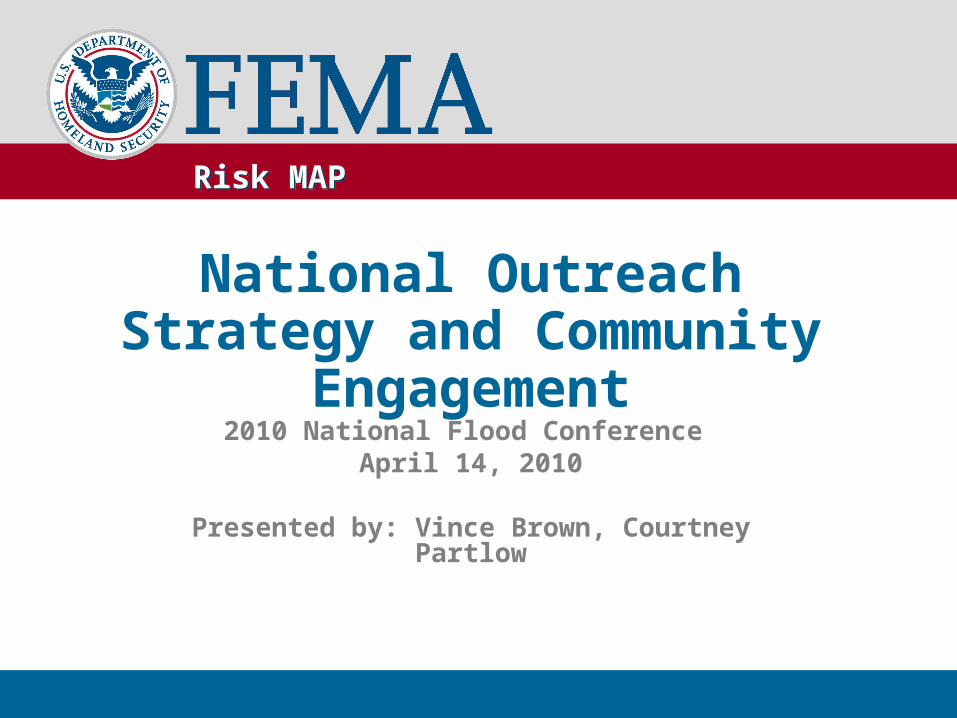
Agenda
• Introductions• Risk MAP overview• Risk communication’s role in Risk MAP• Risk MAP’s national and project-level outreach
strategies• Risk MAP “products” • Discussion: how we can help each other
communicate about risk
Risk MAPRisk MAP3
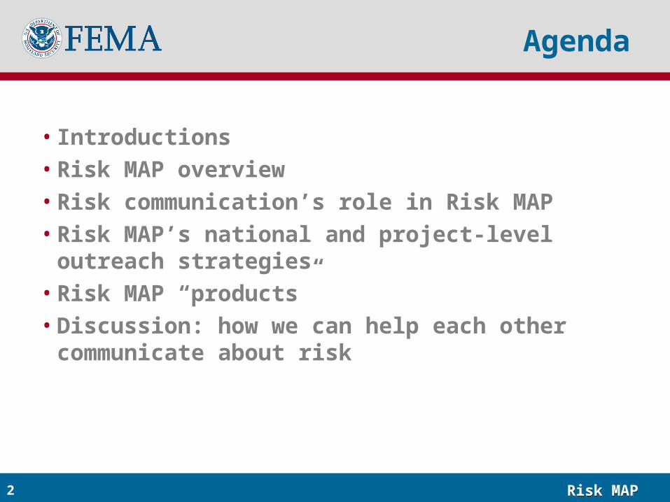
Risk MAP Overview
Through collaboration with State, Local, and Tribal entities, Risk MAP will deliver quality data that
increases public awareness and leads to action that reduces risk to life and property
• Provides more accurate flood maps, risk assessment tools, and outreach support by watershed
• Uses latest technologies to provide intuitive, usable risk information
• Enables informed local planning and decision making
Risk MAPRisk MAP4
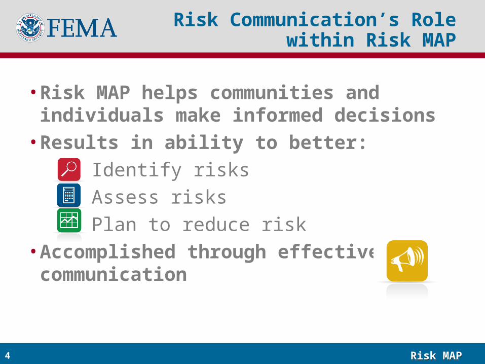
Risk Communication’s Role within Risk MAP
• Risk MAP helps communities and individuals make informed decisions
• Results in ability to better:
Identify risks
Assess risks
Plan to reduce risk• Accomplished through effective risk
communication
Risk MAPRisk MAP5
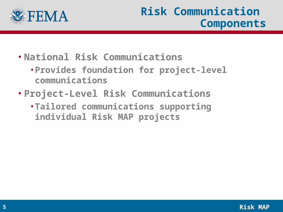
Risk Communication Components
• National Risk Communications• Provides foundation for project-level communications
• Project-Level Risk Communications• Tailored communications supporting individual Risk
MAP projects
Risk MAPRisk MAP6
Messages and Tactics
Risk CommunicationsNational Risk Communications
National Outreach Strategy
Risk MAPRisk MAP7
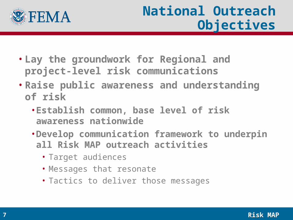
National Outreach Objectives
• Lay the groundwork for Regional and project-level risk communications
• Raise public awareness and understanding of risk• Establish common, base level of risk awareness
nationwide
• Develop communication framework to underpin all Risk MAP outreach activities
• Target audiences• Messages that resonate• Tactics to deliver those messages
Risk MAPRisk MAP8
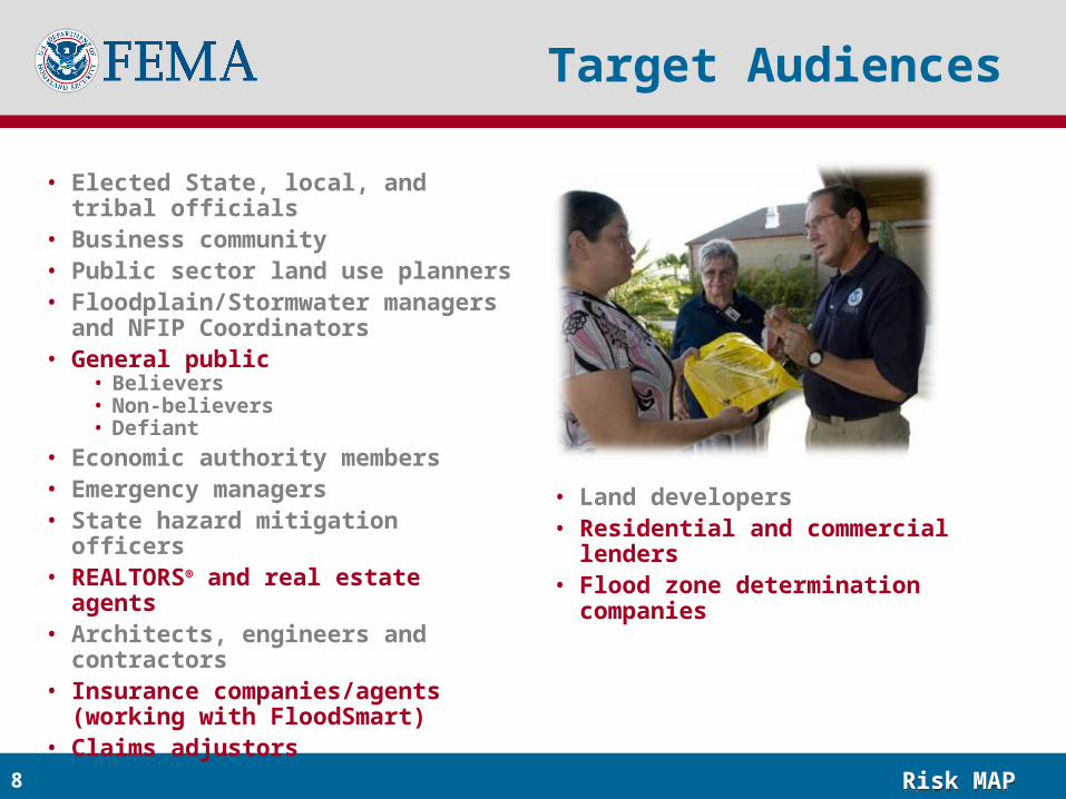
Target Audiences
• Elected State, local, and tribal officials • Business community• Public sector land use planners• Floodplain/Stormwater managers and
NFIP Coordinators• General public
• Believers• Non-believers• Defiant
• Economic authority members• Emergency managers• State hazard mitigation officers• REALTORS® and real estate agents• Architects, engineers and contractors• Insurance companies/agents (working
with FloodSmart)• Claims adjustors
• Land developers• Residential and commercial lenders• Flood zone determination companies
Risk MAPRisk MAP9
Key Message Guidelines
• At the core of all messages:• Know your risk
• Reduce your risk
• Tell others
• Tailor messages to ensure relevance to audience• Focus on empathy, backed by science• Use language/words/concepts that the audience
understands
Risk MAPRisk MAP10
Man on the Street
Risk MAPRisk MAP11
National Tactics
• Tactics specific to each target audience and presented within the National Outreach Strategy
• For majority of audiences:• Web 2.0: Facilitate interactive information sharing and
collaboration online (e.g., online communities, social-networking sites, blogs)
• Media Relations: Proactive, consistent, and timely outreach to national media
• Youth/Young Adult Engagement: Engaging primary and secondary school students to help influence behaviors of older adults
Risk MAPRisk MAP12
National Evaluation
To evaluate the success of the national outreach efforts, we will:• Conduct a baseline survey to identify current awareness and
understanding levels of state/local officials and the general public
• Conduct annual tracking surveys to track progress
Additional, ongoing evaluation will include:• Media analysis • Web statistics
Risk MAPRisk MAP13
Status of National Outreach Strategy
• Strategy finalized in 12/09• Target audiences, messages, tactics used to inform
development of project-level communications• How risk communication is built into each Risk MAP
project
Risk MAPRisk MAP14
Messages and Tactics
Risk CommunicationsProject-Level Risk Communications
Community Engagement Strategy
Risk MAPRisk MAP15
Objectives and Guiding Principles
• Objectives:• Establish coordinated, integrated, and regular
communication throughout project• Build local capability to communicate about risks
• Guiding principles:• Engage communities early and often• Agree upon and document project outcomes and
responsibilities• Coordinate with other programs operating within the same
community• Leverage associations to provide a third-party perspective• Use local media and language that people understand
Risk MAPRisk MAP16
Community Engagement Strategy Process
• Process:• Developed community engagement strategy
highlighting all touchpoints along project lifecycle
• Creating tools and templates to support each touchpoint
• Collaboration with FloodSmart, CRS, planners, dam safety, grants, others
Risk MAPRisk MAP17
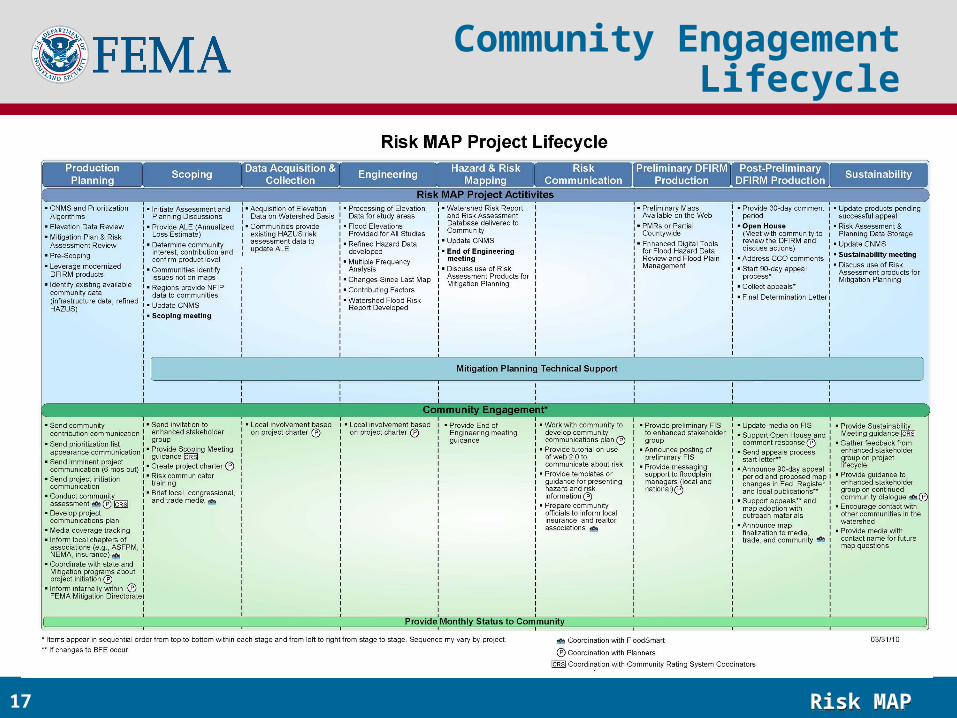
Community Engagement Lifecycle
Risk MAPRisk MAP18
Community Assessment
• Template to be completed by project teams before scoping to provide details on:
• Local communications capabilities• Mitigation plan status• Recent flooding events• Existence/status of dams and levees• Key demographics • Likelihood of contentious response to mapping process• CRS status and number of current flood insurance policies
• Informs development of project communications plan and CRS, dam safety, and planning engagement
Risk MAPRisk MAP19
Media Kit for Project Launch
19
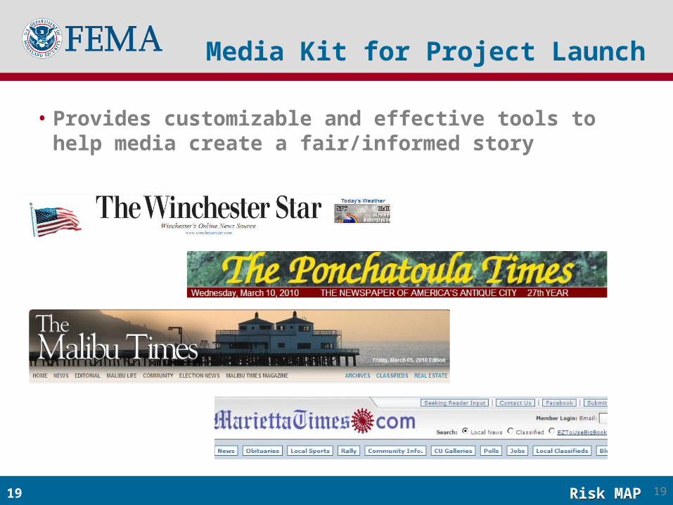
• Provides customizable and effective tools to help media create a fair/informed story
Risk MAPRisk MAP20
Community Outreach Plan
• Template to be completed jointly by project team and community
• Provides a roadmap for communicating about risk to constituents
• Likely to include outreach to insurance community and individuals regarding flood insurance
• Will ensure a mix of tactics to provide a “surround sound” effect
Risk MAPRisk MAP21
Messages and Tactics
Risk CommunicationsRisk MAP Products
Informing Local Decisions
Risk MAPRisk MAP22
Risk MAP Products
• Updated DFIRM/FIS• Risk Assessment Suite
• Watershed Flood Risk Report• Changes Since Last Map• Contributing Factors
• Risk Assessment Database• Multi-Frequency Depth & Water-Surface
Elevation (WSE) Grids• HAZUS Risk Assessment data
22
Risk MAPRisk MAP23
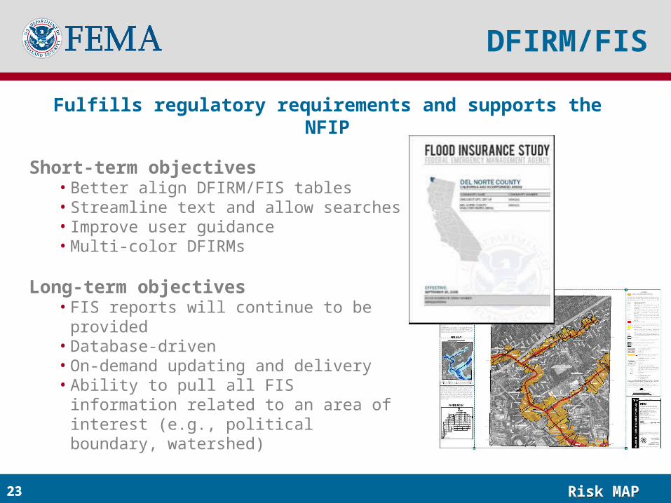
DFIRM/FIS
Short-term objectives• Better align DFIRM/FIS tables• Streamline text and allow searches• Improve user guidance• Multi-color DFIRMs
Long-term objectives• FIS reports will continue to be provided• Database-driven• On-demand updating and delivery• Ability to pull all FIS information related to
an area of interest (e.g., political boundary, watershed)
Fulfills regulatory requirements and supports the NFIP
23
Risk MAPRisk MAP24
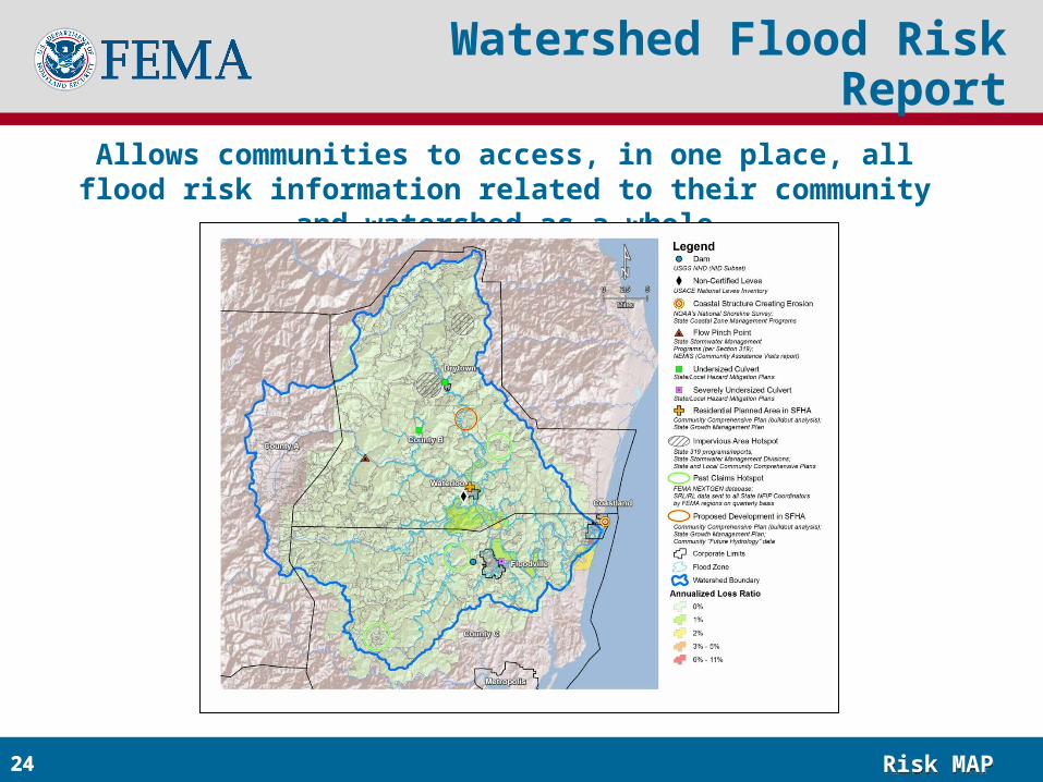
Allows communities to access, in one place, all flood risk information related to their community and watershed as a whole
Watershed Flood Risk Report
24
Risk MAPRisk MAP25
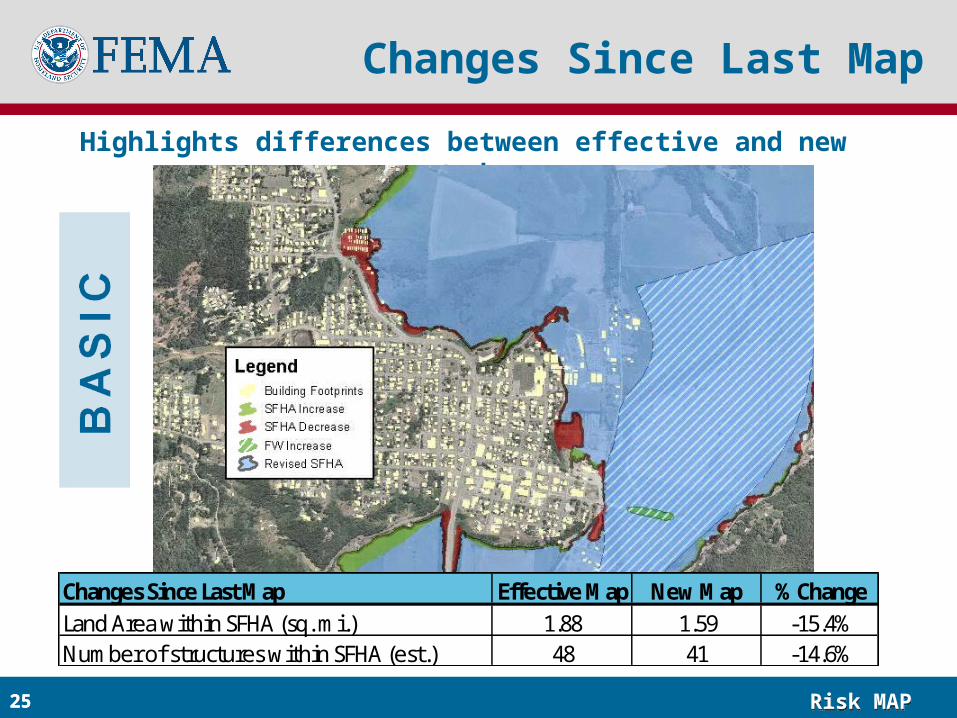
Highlights differences between effective and new study
Changes Since Last Map
25
Changes Since Last Map Effective Map New Map % ChangeLand Area within SFHA (sq. mi.) 1.88 1.59 -15.4%Number of structures within SFHA (est.) 48 41 -14.6%
Risk MAPRisk MAP26
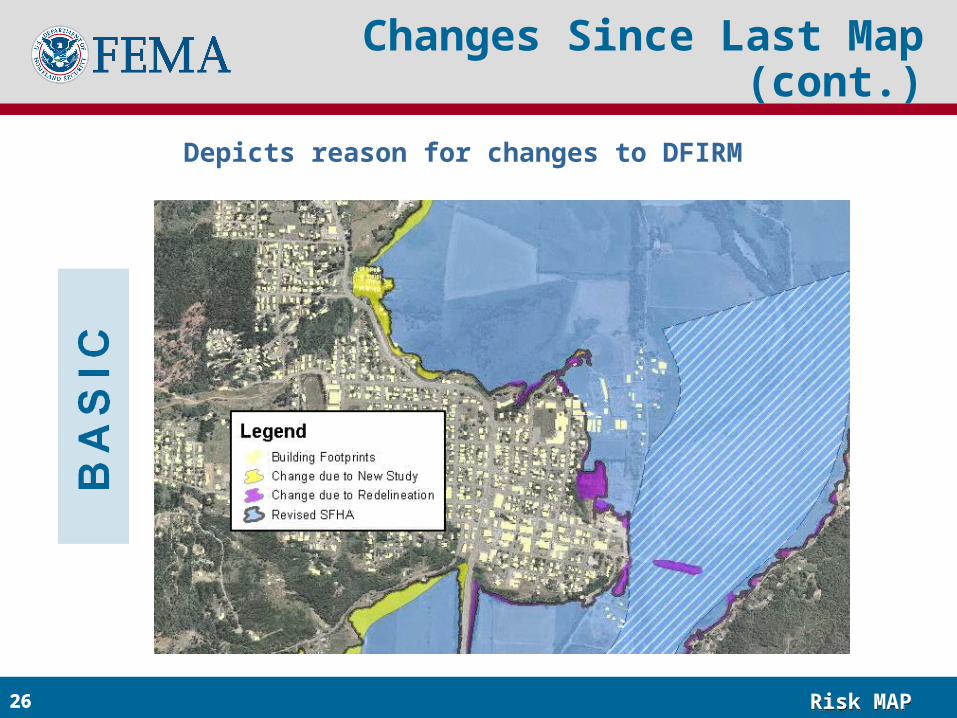
Depicts reason for changes to DFIRM
Changes Since Last Map (cont.)
26
Risk MAPRisk MAP27
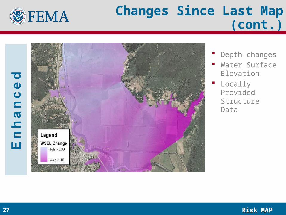
Changes Since Last Map (cont.)
Depth changes Water Surface
Elevation Locally Provided
Structure Data
27
Risk MAPRisk MAP28
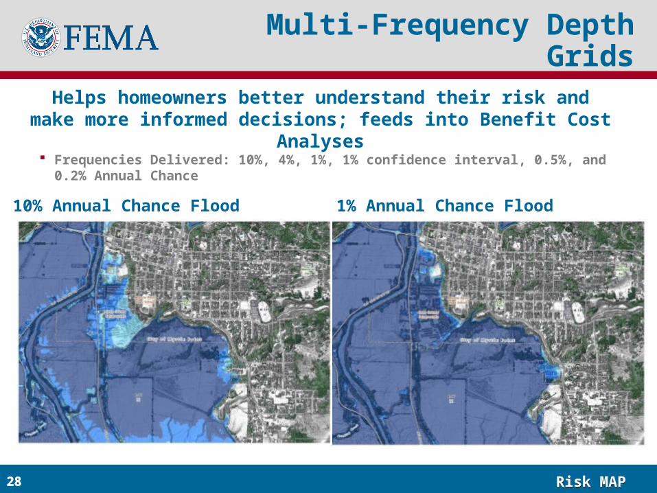
Helps homeowners better understand their risk and make more informed decisions; feeds into Benefit Cost Analyses
Multi-Frequency Depth Grids
Frequencies Delivered: 10%, 4%, 1%, 1% confidence interval, 0.5%, and 0.2% Annual Chance
10% Annual Chance Flood 1% Annual Chance Flood
28
Risk MAPRisk MAP29
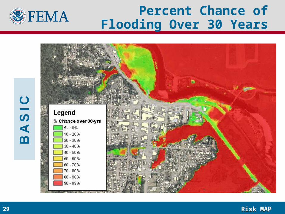
Percent Chance of Flooding Over 30 Years
Risk MAPRisk MAP30
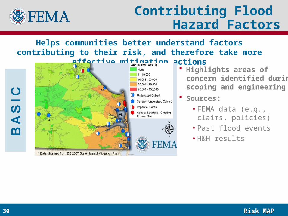
Helps communities better understand factors contributing to their risk, and therefore take more effective mitigation actions
Contributing Flood Hazard Factors
Highlights areas of concern identified during scoping and engineering
Sources:• FEMA data (e.g., claims,
policies)
• Past flood events
• H&H results
30
Risk MAPRisk MAP31
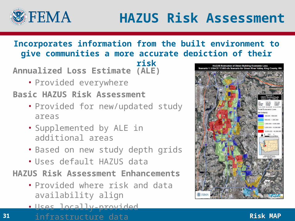
Annualized Loss Estimate (ALE)• Provided everywhere
Basic HAZUS Risk Assessment• Provided for new/updated study areas• Supplemented by ALE in additional areas• Based on new study depth grids• Uses default HAZUS data
HAZUS Risk Assessment Enhancements• Provided where risk and data availability
align• Uses locally-provided infrastructure data
HAZUS Risk Assessment
Incorporates information from the built environment to give communities a more accurate depiction of their risk
31
Risk MAPRisk MAP32
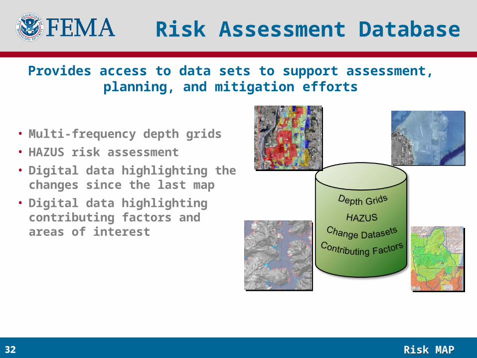
Provides access to data sets to support assessment, planning, and mitigation efforts
Risk Assessment Database
• Multi-frequency depth grids
• HAZUS risk assessment
• Digital data highlighting the changes since the last map
• Digital data highlighting contributing factors and areas of interest
32
Risk MAPRisk MAP33
Discussion Topics
• What would make it easier for you to be able to talk about risk with your clients?
• Samples:• Engage agents earlier in process• Providing easy access to Risk MAP products
• How can insurance agents help Risk MAP better understand and address individual concerns?
• Sample:• Use insights from direct public interaction to inform risk
communications
Risk MAPRisk MAP34


![Partlow RS485 Comms Manual[1]](https://img.pdfslide.net/doc/110x75/55cf99b3550346d0339ebe52/partlow-rs485-comms-manual1.jpg)