Embed Size (px)
Citation preview
SARSAT Overview
SAR Controllers Training 2015 3 – 5 March 2015
Christopher O’Connors NOAA
SARSAT Program Manager
Agenda
• Cospas-Sarsat
• System Description
– User Segment (Beacons)
– Space Segment
– Ground Segment
– Search and Rescue (SAR) Segment
• U.S. SARSAT
2
Cospas-Sarsat Overview
• COSPAS: Cosmicheskaya Systyema Poiska Aariynyich Sudov (Russian) which translates loosely into “Space System for the Search of Vessels in Distress”
• SARSAT: Search And Rescue Satellite Aided Tracking
Cospas-Sarsat provides, free-of-charge, distress alert and location information to search and rescue authorities anywhere in the world for maritime, aviation and land users in distress.
Cospas-Sarsat takes the “search” out of Search and Rescue
3
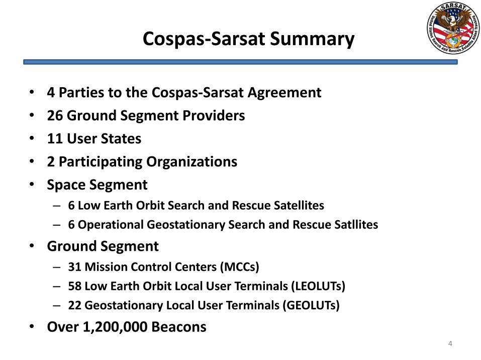
Cospas-Sarsat Summary
• 4 Parties to the Cospas-Sarsat Agreement
• 26 Ground Segment Providers
• 11 User States
• 2 Participating Organizations
• Space Segment – 6 Low Earth Orbit Search and Rescue Satellites
– 6 Operational Geostationary Search and Rescue Satllites
• Ground Segment – 31 Mission Control Centers (MCCs)
– 58 Low Earth Orbit Local User Terminals (LEOLUTs)
– 22 Geostationary Local User Terminals (GEOLUTs)
• Over 1,200,000 Beacons 4
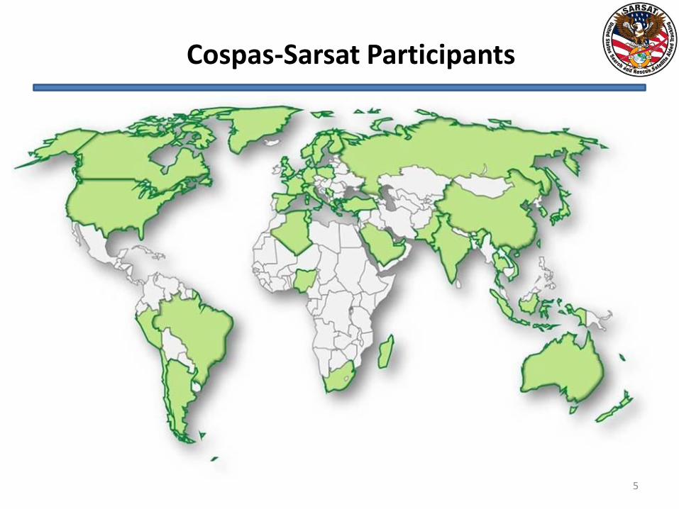
Cospas-Sarsat Participants
5
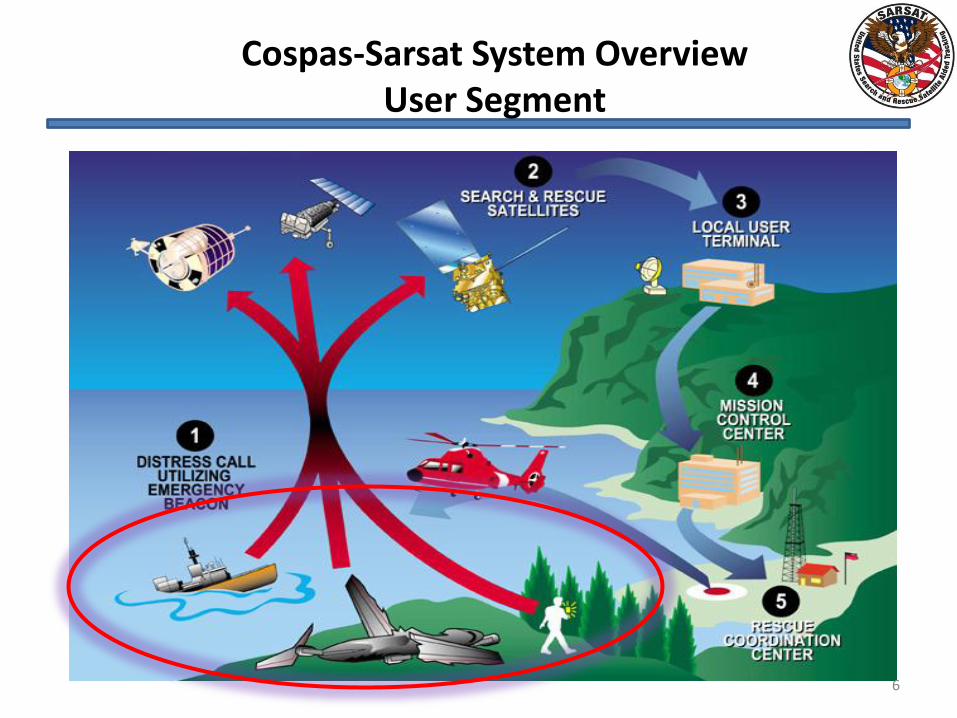
Cospas-Sarsat System Overview User Segment
6
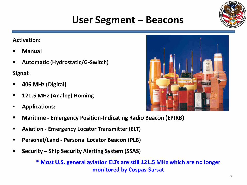
User Segment – Beacons
Activation:
Manual
Automatic (Hydrostatic/G-Switch)
Signal:
406 MHz (Digital)
121.5 MHz (Analog) Homing
• Applications:
Maritime - Emergency Position-Indicating Radio Beacon (EPIRB)
Aviation - Emergency Locator Transmitter (ELT)
Personal/Land - Personal Locator Beacon (PLB)
Security – Ship Security Alerting System (SSAS)
* Most U.S. general aviation ELTs are still 121.5 MHz which are no longer monitored by Cospas-Sarsat
7
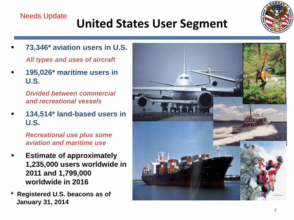
United States User Segment
8
73,346* aviation users in U.S.
All types and uses of aircraft
195,026* maritime users in
U.S.
Divided between commercial
and recreational vessels
134,514* land-based users in
U.S.
Recreational use plus some
aviation and maritime use
Estimate of approximately
1,235,000 users worldwide in
2011 and 1,799,000
worldwide in 2016
* Registered U.S. beacons as of
January 31, 2014
Needs Update
User Segment
9
Attributes of 406 MHz
Every beacon has unique 15 digit hex identification
• Unique ID allows registration with contact information
• Non-Distress activations can be terminated with a phone call
• Reduces stress on SAR assets
Powerful 5 watt transmitter and digital signal increases accuracy
of location by Doppler processing
The system can discriminate between real beacon transmissions
and non-beacon transmissions which reduces the resources
spent on tracking interfering sources
Global coverage provided by store and forward capability of
Cospas-Sarsat LEOSAR satellites
Increased system capacity due to short duration transmission,
and spreading of frequency allocation
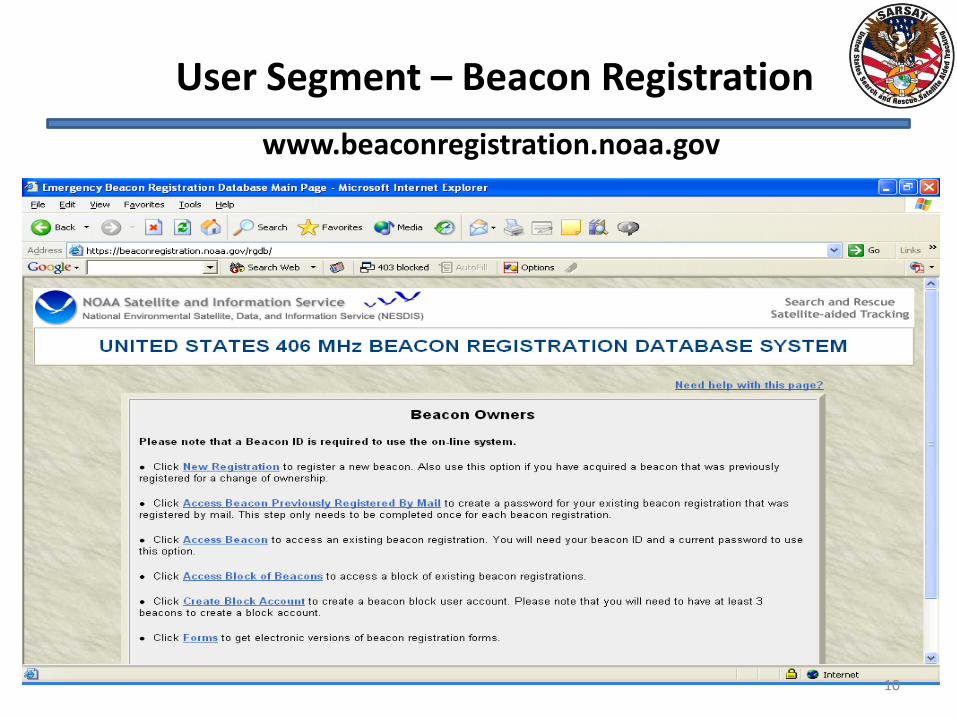
www.beaconregistration.noaa.gov
User Segment – Beacon Registration
10
Importance of Registration
• Digital data transmitted by beacon provides nationality and type of beacon
• Tail number or other identifying information can be encoded into the beacon
• Registration Database provides additional information such as owner/operator, and can include specifics on aircraft or vessel
• In most cases, false alerts are resolved prior to launch of resources, saving taxpayer $$
11
Identification
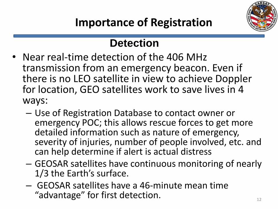
Importance of Registration
• Near real-time detection of the 406 MHz transmission from an emergency beacon. Even if there is no LEO satellite in view to achieve Doppler for location, GEO satellites work to save lives in 4 ways: – Use of Registration Database to contact owner or
emergency POC; this allows rescue forces to get more detailed information such as nature of emergency, severity of injuries, number of people involved, etc. and can help determine if alert is actual distress
– GEOSAR satellites have continuous monitoring of nearly 1/3 the Earth’s surface.
– GEOSAR satellites have a 46-minute mean time “advantage” for first detection.
12
Detection
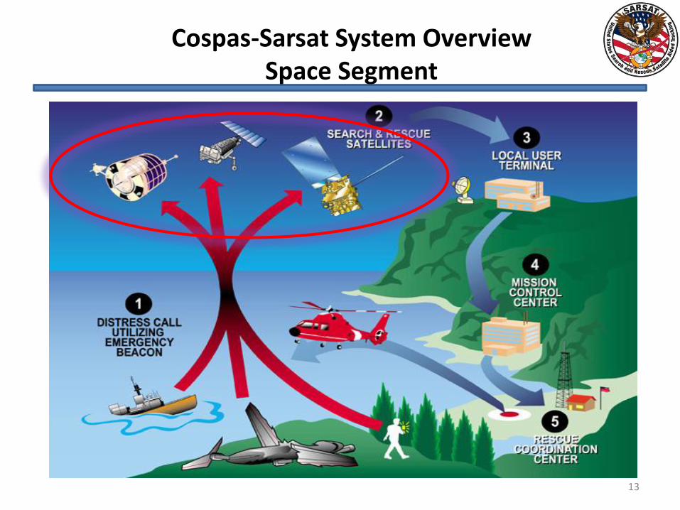
Cospas-Sarsat System Overview Space Segment
13
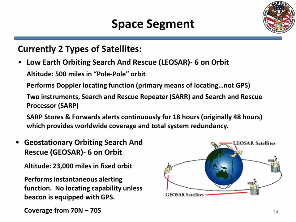
Space Segment
Currently 2 Types of Satellites:
• Low Earth Orbiting Search And Rescue (LEOSAR)- 6 on Orbit
Altitude: 500 miles in “Pole-Pole” orbit
Performs Doppler locating function (primary means of locating…not GPS)
Two instruments, Search and Rescue Repeater (SARR) and Search and Rescue Processor (SARP)
SARP Stores & Forwards alerts continuously for 18 hours (originally 48 hours) which provides worldwide coverage and total system redundancy.
• Geostationary Orbiting Search And Rescue (GEOSAR)- 6 on Orbit
Altitude: 23,000 miles in fixed orbit
Performs instantaneous alerting function. No locating capability unless beacon is equipped with GPS.
Coverage from 70N – 70S 14
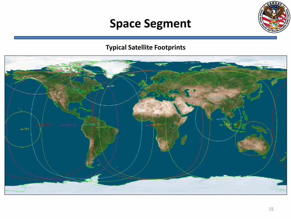
Typical Satellite Footprints
Space Segment
15
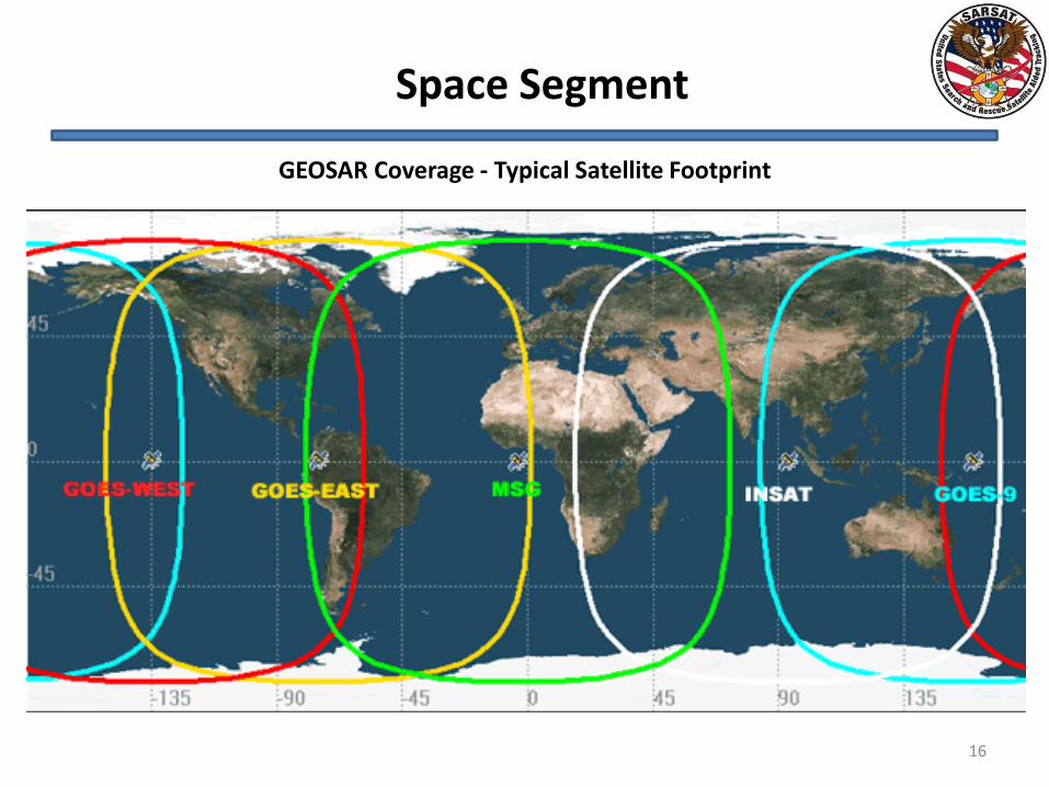
GEOSAR Coverage - Typical Satellite Footprint
Space Segment
16
17
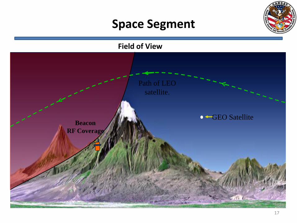
GEO Satellite
Path of LEO
satellite.
Beacon
RF Coverage
Field of View
Space Segment
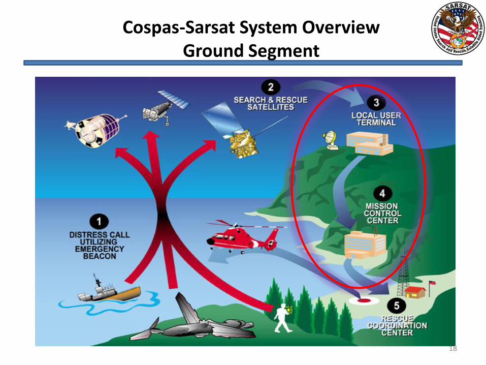
Cospas-Sarsat System Overview Ground Segment
18
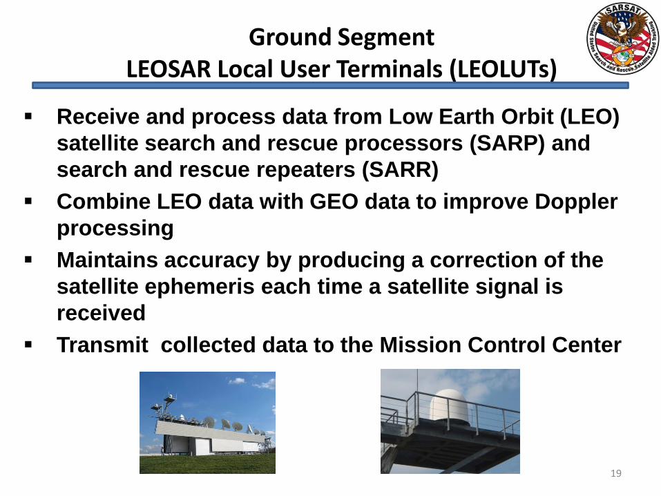
Ground Segment LEOSAR Local User Terminals (LEOLUTs)
19
Receive and process data from Low Earth Orbit (LEO)
satellite search and rescue processors (SARP) and
search and rescue repeaters (SARR)
Combine LEO data with GEO data to improve Doppler
processing
Maintains accuracy by producing a correction of the
satellite ephemeris each time a satellite signal is
received
Transmit collected data to the Mission Control Center
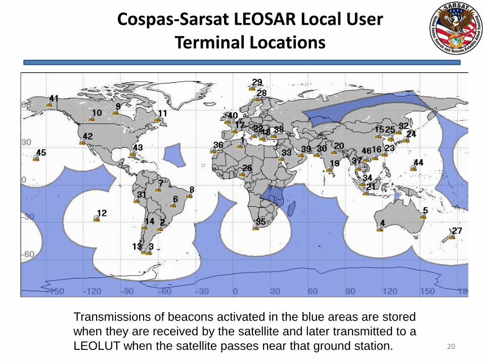
Cospas-Sarsat LEOSAR Local User Terminal Locations
20
Transmissions of beacons activated in the blue areas are stored
when they are received by the satellite and later transmitted to a
LEOLUT when the satellite passes near that ground station.
21
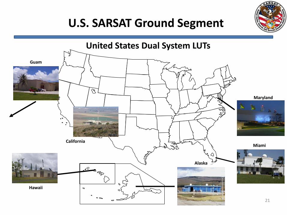
United States Dual System LUTs
Alaska
Miami
Maryland
California
Guam
Hawaii
U.S. SARSAT Ground Segment
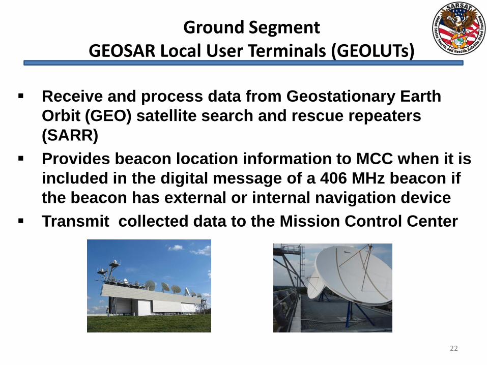
Ground Segment GEOSAR Local User Terminals (GEOLUTs)
22
Receive and process data from Geostationary Earth
Orbit (GEO) satellite search and rescue repeaters
(SARR)
Provides beacon location information to MCC when it is
included in the digital message of a 406 MHz beacon if
the beacon has external or internal navigation device
Transmit collected data to the Mission Control Center
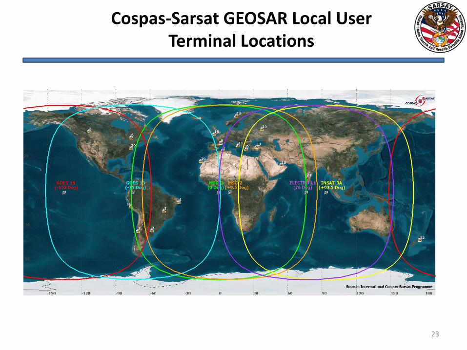
Cospas-Sarsat GEOSAR Local User Terminal Locations
23
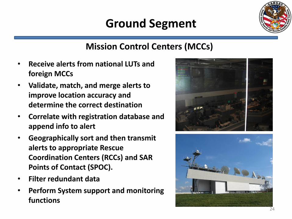
Mission Control Centers (MCCs)
Ground Segment
• Receive alerts from national LUTs and foreign MCCs
• Validate, match, and merge alerts to improve location accuracy and determine the correct destination
• Correlate with registration database and append info to alert
• Geographically sort and then transmit alerts to appropriate Rescue Coordination Centers (RCCs) and SAR Points of Contact (SPOC).
• Filter redundant data
• Perform System support and monitoring functions
24
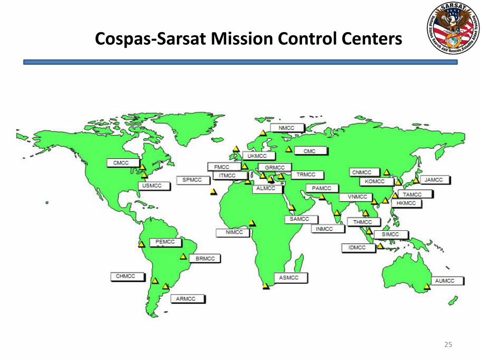
Cospas-Sarsat Mission Control Centers
25
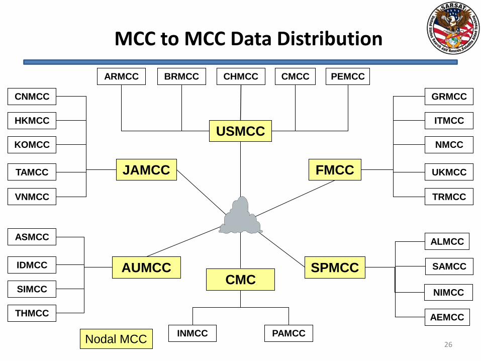
MCC to MCC Data Distribution
26
JAMCC
USMCC
AUMCC CMC
FMCC
CMCC CHMCC PEMCC BRMCC
KOMCC
HKMCC
NMCC
UKMCC
ITMCC
SPMCC
INMCC PAMCC
ALMCC
TAMCC
CNMCC
SIMCC
IDMCC
ARMCC
VNMCC
NIMCC
THMCC
SAMCC
ASMCC
GRMCC
TRMCC
Nodal MCC
AEMCC
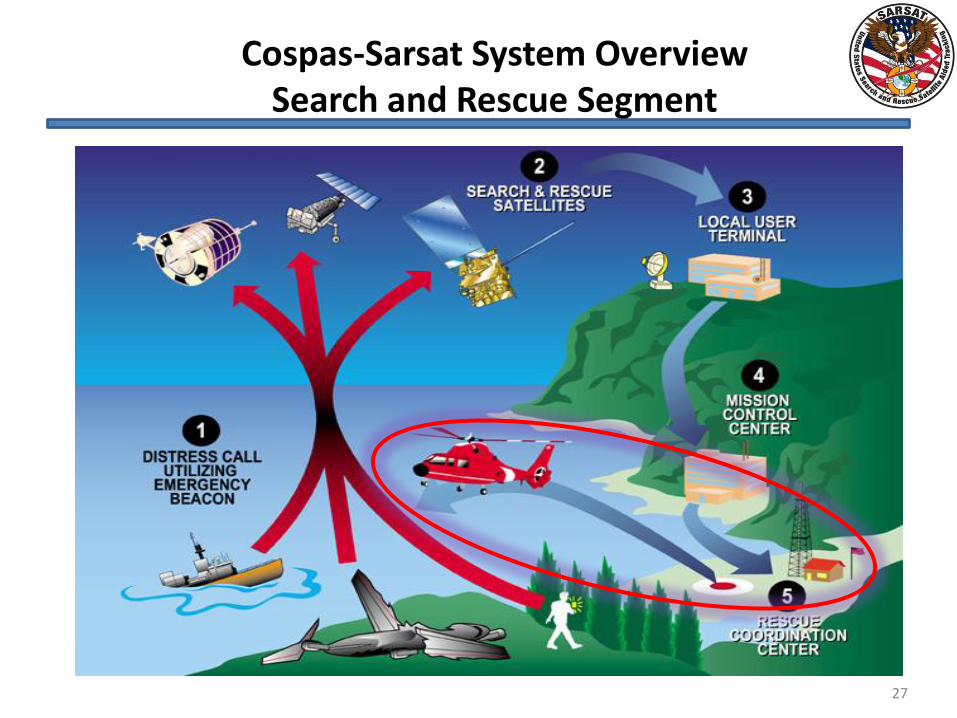
Cospas-Sarsat System Overview Search and Rescue Segment
27
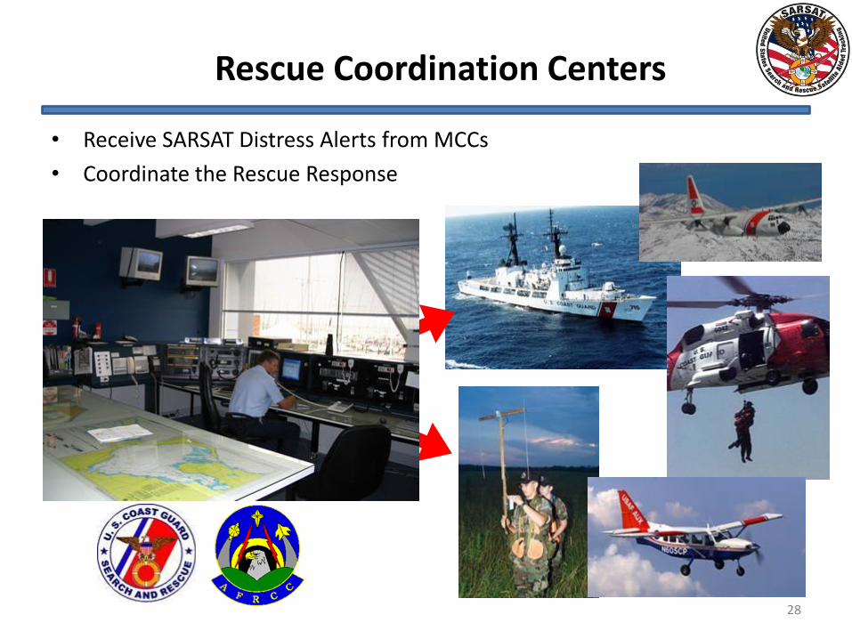
Rescue Coordination Centers
• Receive SARSAT Distress Alerts from MCCs
• Coordinate the Rescue Response
28
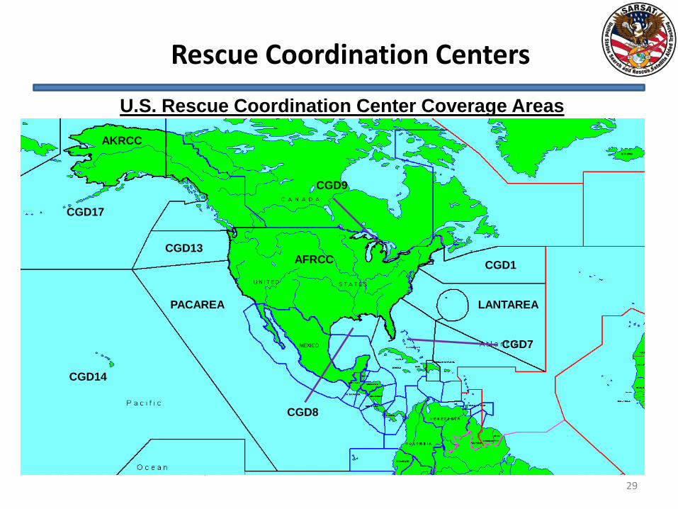
Rescue Coordination Centers
U.S. Rescue Coordination Center Coverage Areas
AKRCC
CGD17
CGD14
CGD8
PACAREA
AFRCC CGD13
CGD1
LANTAREA
CGD7
CGD9
29
Cospas-Sarsat
Results
30
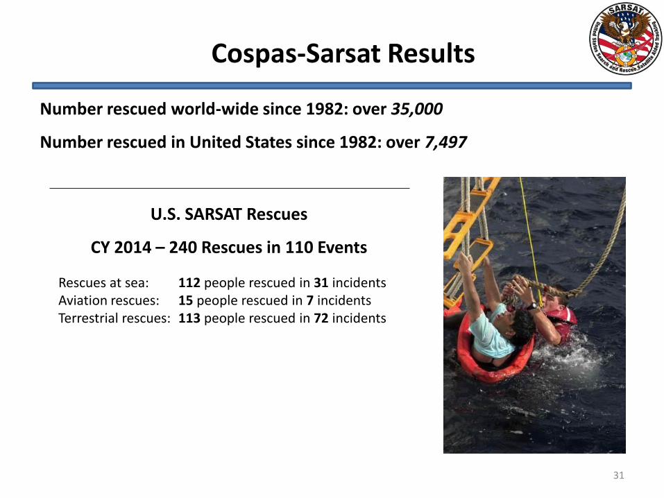
U.S. SARSAT Rescues
CY 2014 – 240 Rescues in 110 Events
Rescues at sea: 112 people rescued in 31 incidents Aviation rescues: 15 people rescued in 7 incidents Terrestrial rescues: 113 people rescued in 72 incidents
Number rescued world-wide since 1982: over 35,000
Number rescued in United States since 1982: over 7,497
Cospas-Sarsat Results
31
32
Questions?