Embed Size (px)
Citation preview
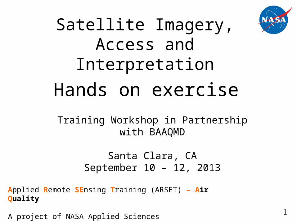
Satellite Imagery, Access and Interpretation
Training Workshop in Partnership with BAAQMD
Santa Clara, CASeptember 10 – 12, 2013
Applied Remote SEnsing Training (ARSET) – Air Quality
A project of NASA Applied Sciences1
Hands on exercise
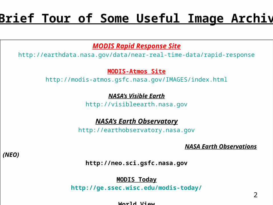
MODIS Rapid Response Sitehttp://earthdata.nasa.gov/data/near-real-time-data/rapid-response
MODIS-Atmos Sitehttp://modis-atmos.gsfc.nasa.gov/IMAGES/index.html
NASA’s Visible Earthhttp://visibleearth.nasa.gov
NASA’s Earth Observatoryhttp://earthobservatory.nasa.gov
NASA Earth Observations (NEO) http://neo.sci.gsfc.nasa.gov
MODIS Todayhttp://ge.ssec.wisc.edu/modis-today/
World Viewhttp://earthdata.nasa.gov/labs/worldview/
A Brief Tour of Some Useful Image Archives
2
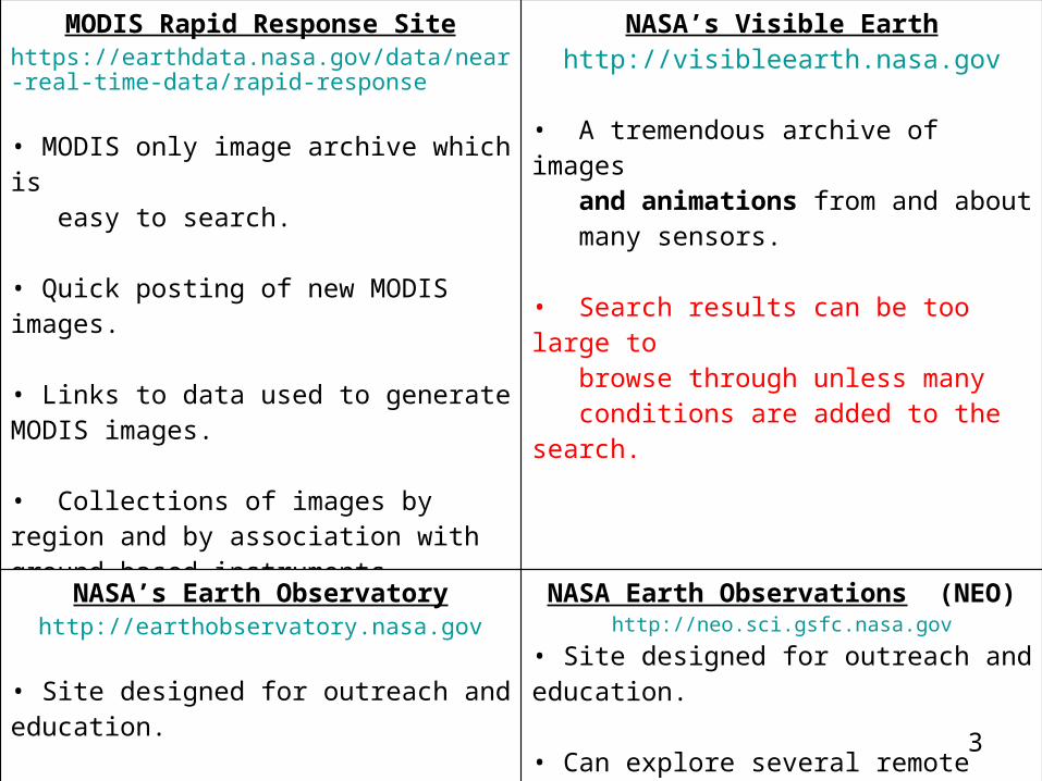
MODIS Rapid Response Sitehttps://earthdata.nasa.gov/data/near-real-time-data/rapid-response
• MODIS only image archive which is easy to search.
• Quick posting of new MODIS images.
• Links to data used to generate MODIS images.
• Collections of images by region and by association with ground based instruments
NASA’s Visible Earthhttp://visibleearth.nasa.gov
• A tremendous archive of images and animations from and about many sensors.
• Search results can be too large to browse through unless many conditions are added to the search.
NASA’s Earth Observatoryhttp://earthobservatory.nasa.gov
• Site designed for outreach and education.
• Images and stories of Earth Science phenomena are linked.
• Subscriptions to newsletters to keep track of recent stories and Natural Hazards.
NASA Earth Observations (NEO)http://neo.sci.gsfc.nasa.gov
• Site designed for outreach and education.
• Can explore several remote sensing products with an easy to use interface.
• The ability to quickly produce high quality graphic images from the site.
• The ability to quickly create products that can be mapped onto Google Earth.
3
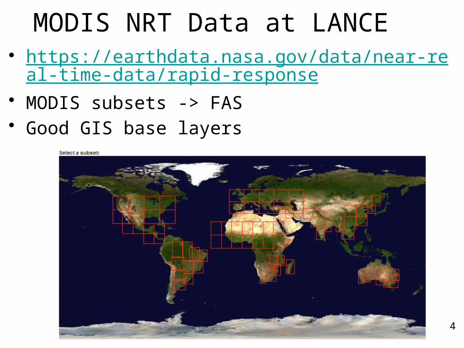
MODIS NRT Data at LANCE• https://earthdata.nasa.gov/data/near-real-time
-data/rapid-response• MODIS subsets -> FAS• Good GIS base layers
4
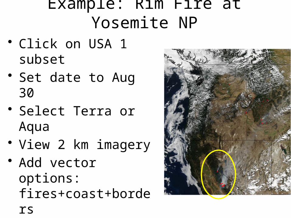
Example: Rim Fire at Yosemite NP
• Click on USA 1 subset
• Set date to Aug 30• Select Terra or Aqua• View 2 km imagery• Add vector options:
fires+coast+borders• View previous and
next days• View
250m/500m/1km images
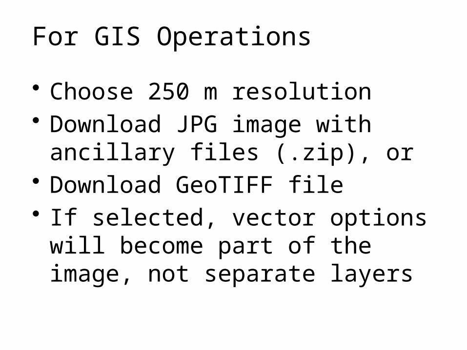
For GIS Operations
• Choose 250 m resolution• Download JPG image with
ancillary files (.zip), or• Download GeoTIFF file• If selected, vector options will
become part of the image, not separate layers
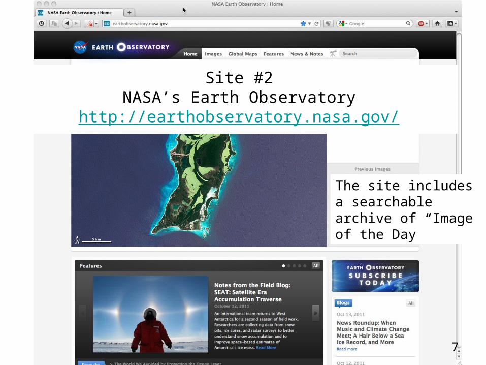
The site includes a searchable archive of “Image of the Day”
Site #2NASA’s Earth Observatory
http://earthobservatory.nasa.gov/
7
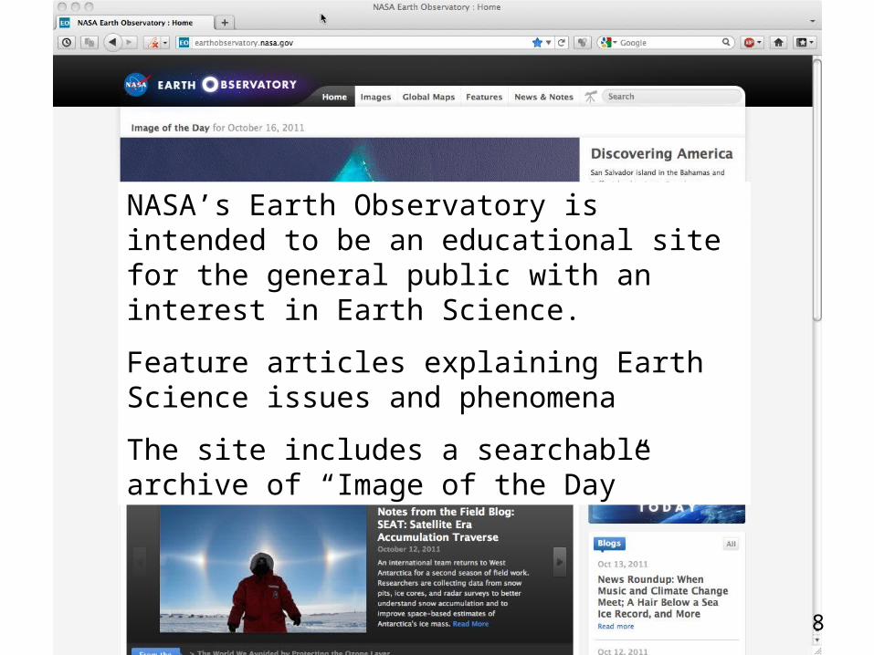
NASA’s Earth Observatory is intended to be an educational site for the general public with an interest in Earth Science.
Feature articles explaining Earth Science issues and phenomena
The site includes a searchable archive of “Image of the Day”
8
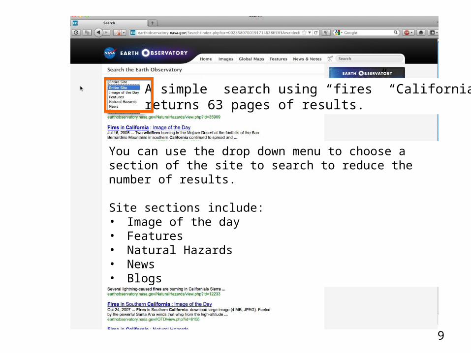
A simple search using “fires” “California”returns 63 pages of results.
You can use the drop down menu to choose a section of the site to search to reduce the number of results.
Site sections include:• Image of the day• Features• Natural Hazards• News• Blogs
9
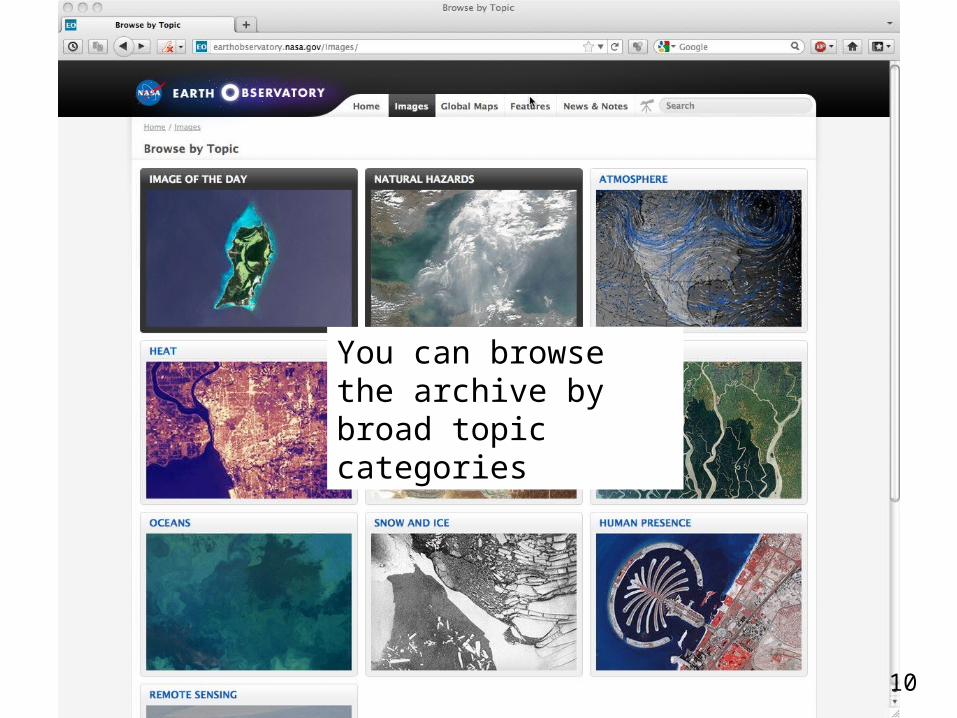
You can browse the archive by broad topic categories
10
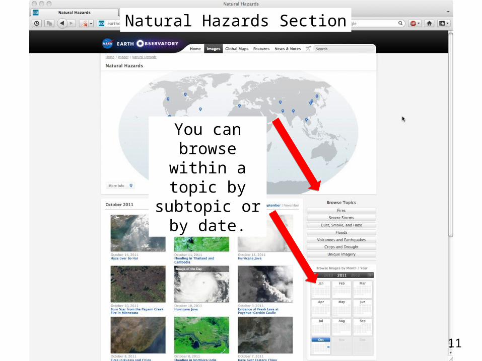
You can browse within a topic by
subtopic or by date.
Natural Hazards Section
11
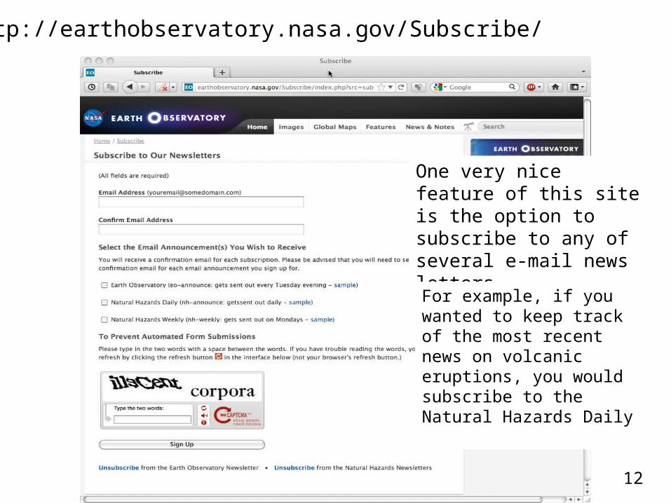
http://earthobservatory.nasa.gov/Subscribe/
One very nice feature of this site is the option to subscribe to any of several e-mail news letters.
For example, if you wanted to keep track of the most recent news on volcanic eruptions, you would subscribe to the Natural Hazards Daily
12
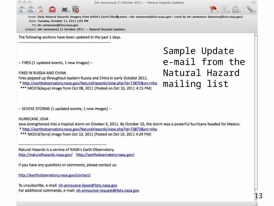
Sample Update e-mail from the Natural Hazard mailing list
13
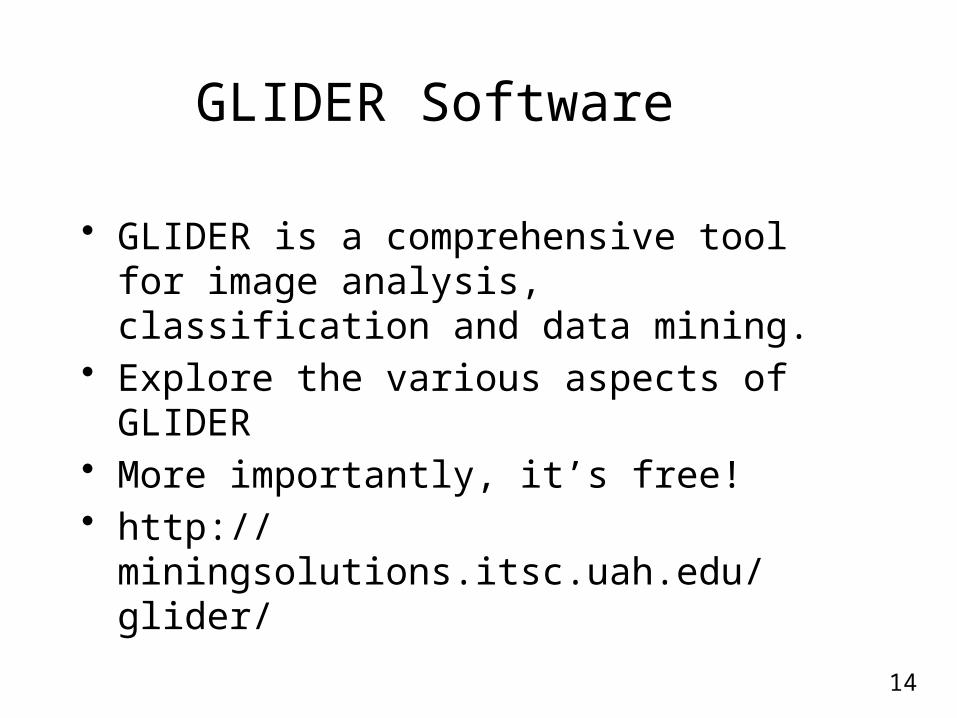
GLIDER Software
• GLIDER is a comprehensive tool for image analysis, classification and data mining.
• Explore the various aspects of GLIDER • More importantly, it’s free!• http://miningsolutions.itsc.uah.edu/
glider/
14
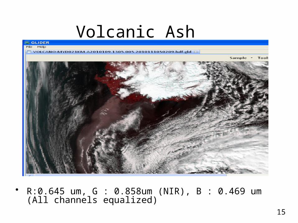
Volcanic Ash
• R:0.645 um, G : 0.858um (NIR), B : 0.469 um (All channels equalized)
15
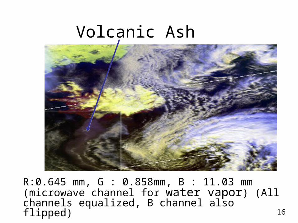
Volcanic Ash
R:0.645 mm, G : 0.858mm, B : 11.03 mm (microwave channel for water vapor) (All channels equalized, B channel also flipped)
16