Embed Size (px)
Citation preview
Sediment ChannelsSediment Channels
Kentucky Department for Natural Kentucky Department for Natural ResourcesResourcesDivision of Mine PermitsDivision of Mine PermitsSept. 6 and 14, Oct. 4 and 18, 2012Sept. 6 and 14, Oct. 4 and 18, 2012
Sediment ChannelsSediment Channels
There are a variety of different approaches to sediment channel design currently being used.
– Above Ground– Incised– Single Spillway– Multiple Spillways
Other approaches will be considered on a case by case basis but may require Department approval of the method per TRM #13.
The most problem encountered difficulties we encounter in reviewing these proposals include;
– Horizontal and Vertical control– Spillway Placement– Flood Routing/Internal baffles– Closure/Backfill and Grading
Sediment ChannelsSediment Channels
Topics for consideration in this presentation
– Design– Compliance Demonstration– Construction– Removal
Sediment ChannelsSediment Channels
Design ConsiderationsUnder the regulations, the design must provide
Sediment storage volume commensurate with the watershed runoff, This can be accomplished by detailed modeling or an disturbed acreage-volume ratio.
Typically volume does not seem to be a design problem with sediment channels
Adequate detention time to provide for settling of sediment
A function of flood routing, in that sufficient detention time for settling will also serve to eliminate flooding downstream
Flood routing capacity sufficient to pass the 25 year storm without overtopping, or increasing flooding potential (due to increased disturbed area)
The sediment storage volume required by regulation is given in 405 KAR 16:090 Section 2.
Section 2. Sediment storage volume. Sedimentation ponds shall provide adequate sediment storage volume as approved on a case-by-case basis by the cabinet based upon the anticipated volume of sediment to be collected and a feasible plan for clean-out operations. The plan shall include a time schedule or clean-out elevations, or an appropriate combination, that shall provide periodic sediment removal sufficient to maintain adequate volume for the sediment to be collected during the design precipitation event under Section 3 of this administrative regulation. The proposed clean-out plan shall be included in the design and shall be approved if the department determines that the proposed plan is feasible.
There must be an anticipated volume of sediment. The most commonly used modeling program, SEDCAD (and it’s predecessors) predict a storm volume of sediment that can be translated into an annual discharge.
There are also conservative industry standards that can be used in formulating an appropriate sediment storage volume.
Sediment ChannelsSediment ChannelsDesign- Sediment Storage VolumeDesign- Sediment Storage Volume
Total Sediment Storage at the spillway– 0.125 acre-feet per disturbed acreage. This is a commonly accepted value, with it’s origins in SCS and BLM research.
If a ratio less than 0.125 acre-feet per disturbed acreage is used, it will need to be modeled to determine if effluent standards are met. The 0.125 acre-feet per disturbed acreage has been previously tested.
The sediment will be cleaned out once it reaches 60% capacity. Both of these elevations need to be labeled on the stage-storage curve.
Sediment ChannelsSediment ChannelsDesign- Sediment Storage VolumeDesign- Sediment Storage Volume
Volume of Cells If the volume of the sediment channel is calculated at a 0% slope,
the channel must be excavated to a point where the channel has no slope.
– If the channel is long (i.e. > 300’-500’) the applicant will need to discuss how they are going to establish vertical control.
The regional coal dip slope can be used to calculate volume of the channel.
If the sediment channel has a slope but the volume calculations were based upon a channel with a 0% slope, the volume must be reduced by an appropriate factor.
Sediment ChannelsSediment ChannelsDesign- Sediment Storage VolumeDesign- Sediment Storage Volume
Sediment ChannelsSediment ChannelsDesign- Sediment Storage VolumeDesign- Sediment Storage Volume
•The channel can be constructed in segments as mining progresses or the entire channel can be constructed.
•As described in the regulatory guidance document On-Bench Ponds without Off-Bench Sediment Control; originally approved May 15, 2009, “In-pit retention is allowed for no more than 2 acres of disturbance in a design.”
•Due to this restriction, it is only feasible to construct approximately 500’-600’ of the channel before certifying if the channel is built in segments.
•If the channel is constructed in its entirety, the channel and spillway will have to built and certified before disturbance of more than 2 acres.
Sediment ChannelsSediment ChannelsDesign- Sediment Storage VolumeDesign- Sediment Storage Volume
•Each channel will have a 15’ undisturbed natural barrier. This barrier will serve as the controlling portion of the Sediment Channel if not incised.
•The channel will be further defined as mine backfill is placed forming the interior side of the sediment channel unless the channel is incised. A statement can be included that the 15’ undisturbed barrier can be re-constructed if necessary.
•Sediment channels constructed on a pre-law bench needs to be built on the solid portion of the bench.
•Backfill stability analysis needs to include the sediment channel in place.
•Stability analysis needs to account for water impounding on the backfill if the channel is not completely incised.
Breach Considerations
Due to the potential high volumes that could be stored in the channel, consideration of potential breach needs to be evaluated for each channel. This is especially important if there are no interior baffles.
To be in compliance with 405 KAR 16:090 Section 3, a 25-year pre-mining and during mining hydraulic analysis needs to be submitted to ensure the open channel spillway is correctly sized and the channel meets the peak discharge standards.
If a single spillway is proposed with sequential construction, construction standards need to address how the existing spillway will be closed after the new spillway is constructed.
Sediment ChannelsSediment ChannelsDesign- Detention TimeDesign- Detention Time
Short-Circuiting
Special consideration needs to be made to ensure the spillways are not short-circuited.
– The most straightforward way to achieve this is to
place a small berm to ensure water does not flow directly into the spillway
A 10-year, 24-hour storm event will model the entire length of the channel with one spillway.
The volume will be reduced by an appropriate percentage to account for changes in vertical elevation if the slope of the dip is not taken into account.
A 10-year, 24-hour storm event with one watershed will be modeled as the “worst-case” with one spillway.
The channel will be considered in compliance with effluent standards at all times during construction if the single spillway/worst-case model and the entire channel model “pass” unless specific conditions require further analysis.
Sediment ChannelsSediment ChannelsDesign- Detention Time/Flood RoutingDesign- Detention Time/Flood Routing
The worst-case watershed is dependent on several issues. Some include the amount of disturbance, slope and size of the watershed.
As described in the regulatory guidance document On-Bench Ponds without Off-Bench Sediment Control; originally approved May 15, 2009, “In-pit retention is allowed for no more than 2 acres of disturbance in a design.” Therefore, the initial disturbance needs to be looked at as a possibility of being the worst-case.
Sediment ChannelsSediment ChannelsCompliance Demonstration- EffluentCompliance Demonstration- Effluent
A 25-year, 6-hour (or 24-hour) pre-mining and during mining model for the worst-case watershed with one spillway needs to be submitted to ensure each outfall is within 10% of the pre-mining peak discharge.
Sediment ChannelsSediment ChannelsCompliance Demonstration- EffluentCompliance Demonstration- Effluent
Multiple Spillways: Multiple Spillways: Rock-Check Dams Rock-Check Dams
There is an approved method for calculating the discharge through the rock-check dams that separate each cell. Please see Dick Rohlf or Whitney Faulkner if an application accounts for the flow through a rock-check dam to verify the method is acceptable.
Discharge through a porous rock-check dam can start at the sediment cleanout elevation as long as specific design assessment addresses such flow.
The application needs to address the porosity (i.e. solid barrier or porous) of the rock-check dams. If the channel has a fairly low slope and the top of all check dams are lower than the associated spillways, the porosity of the dams is not as essential.
Multiple Spillways:Multiple Spillways:Sediment Channel DesignSediment Channel Design
To allow flexibility in placement of the spillway outfalls, each sediment channel will be designed with a minimum and maximum number of spillways with spacing limitations.
– The application will need to specifically state the minimum and maximum number of spillways as well as the minimum spacing between spillways.
As long as the total number of spillways built is between the minimum and maximum with the appropriate spacing, the channel will be considered within compliance.
By allowing a minimum and maximum number of outfall spillways, the spillways can be constructed in the localized low points along the coal seams.
If the number of spillways needed/constructed exceeds the number permitted, a revision will be necessary.
Upon certification of the spillway segments, it is our understanding that DOW will re-issue General Permit Coverage to reflect the actual number of spillways and their locations
Multiple Spillways:Multiple Spillways:Sediment Channel DesignSediment Channel Design
Spillways will be designed for a minimum distance, usually around 300’-500’. Spillways can be locate closer as long as the channel has been specifically designed for the closer spacing.
In Item 17.8, the applicant will list the minimum number of spillways for KPDES outfalls with a specific ID number.
Multiple Spillways: Multiple Spillways: Rock-Check DamsRock-Check Dams
There has to be a minimum 1.0’ of freeboard between the top of the rock-check dam and the top of the sediment channel.
The maximum distance between rock-check dams needs to be stated in the application. A statement that the rock-check dams can be located closer in areas of greater grade can be included as well.
Multiple Spillways: Construction and Multiple Spillways: Construction and Certification of ChannelsCertification of Channels
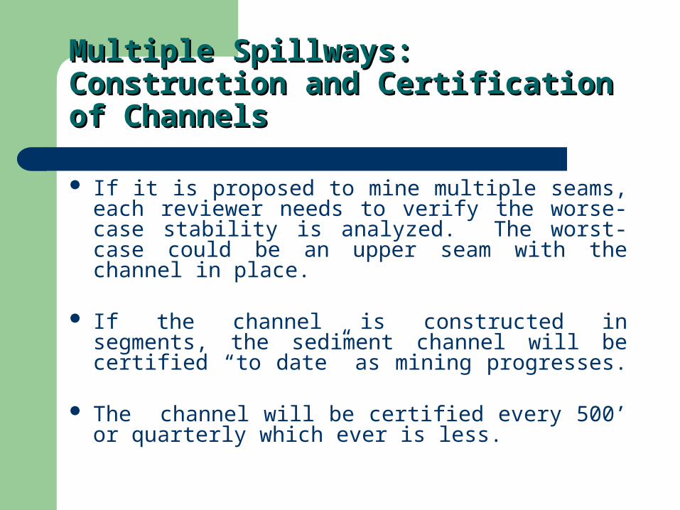
If it is proposed to mine multiple seams, each reviewer needs to verify the worse-case stability is analyzed. The worst-case could be an upper seam with the channel in place.
If the channel is constructed in segments, the sediment channel will be certified “to date” as mining progresses.
The channel will be certified every 500’ or quarterly which ever is less.
Multiple Spillways: Construction and Multiple Spillways: Construction and Certification of ChannelsCertification of Channels
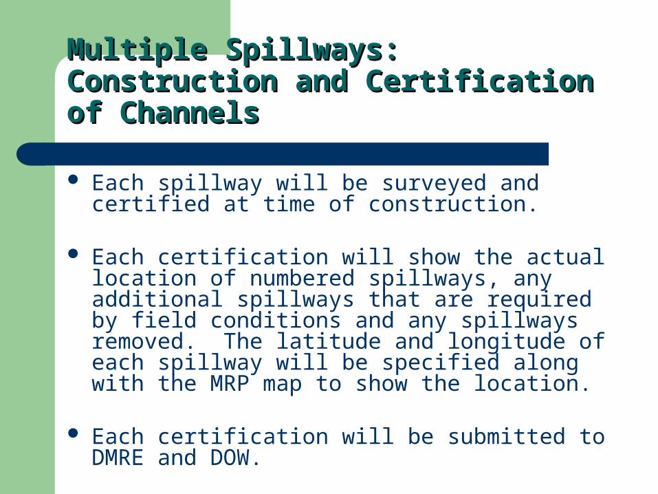
Each spillway will be surveyed and certified at time of construction.
Each certification will show the actual location of numbered spillways, any additional spillways that are required by field conditions and any spillways removed. The latitude and longitude of each spillway will be specified along with the MRP map to show the location.
Each certification will be submitted to DMRE and DOW.
Multiple Spillways: Construction and Multiple Spillways: Construction and Certification of ChannelsCertification of Channels
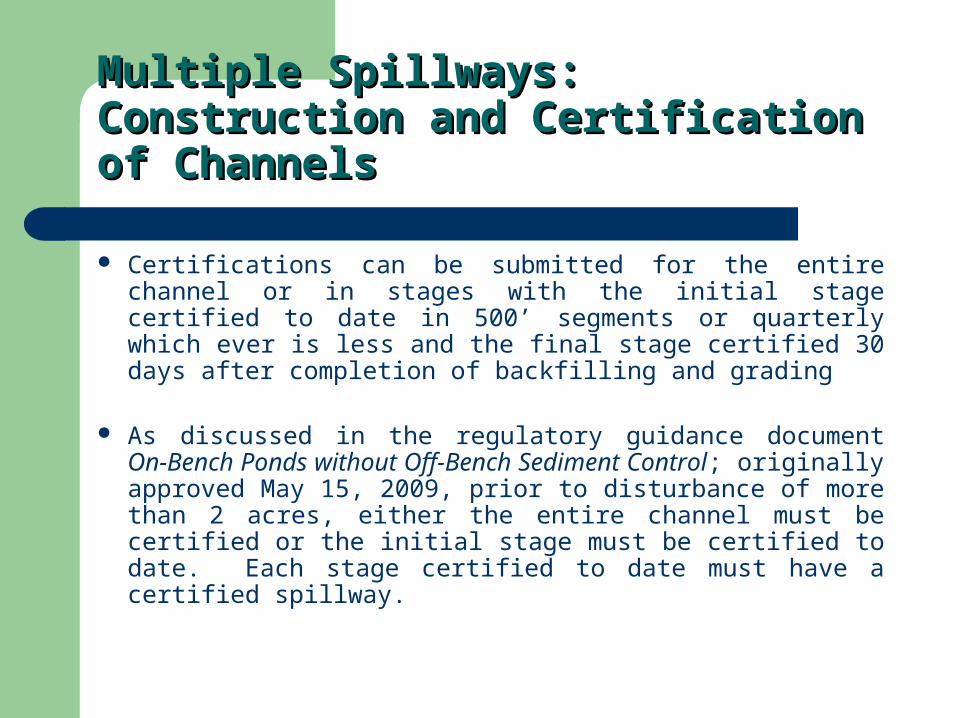
Certifications can be submitted for the entire channel or in stages with the initial stage certified to date in 500’ segments or quarterly which ever is less and the final stage certified 30 days after completion of backfilling and grading
As discussed in the regulatory guidance document On-Bench Ponds without Off-Bench Sediment Control; originally approved May 15, 2009, prior to disturbance of more than 2 acres, either the entire channel must be certified or the initial stage must be certified to date. Each stage certified to date must have a certified spillway.
Criteria for Approval for As-Built Certifications
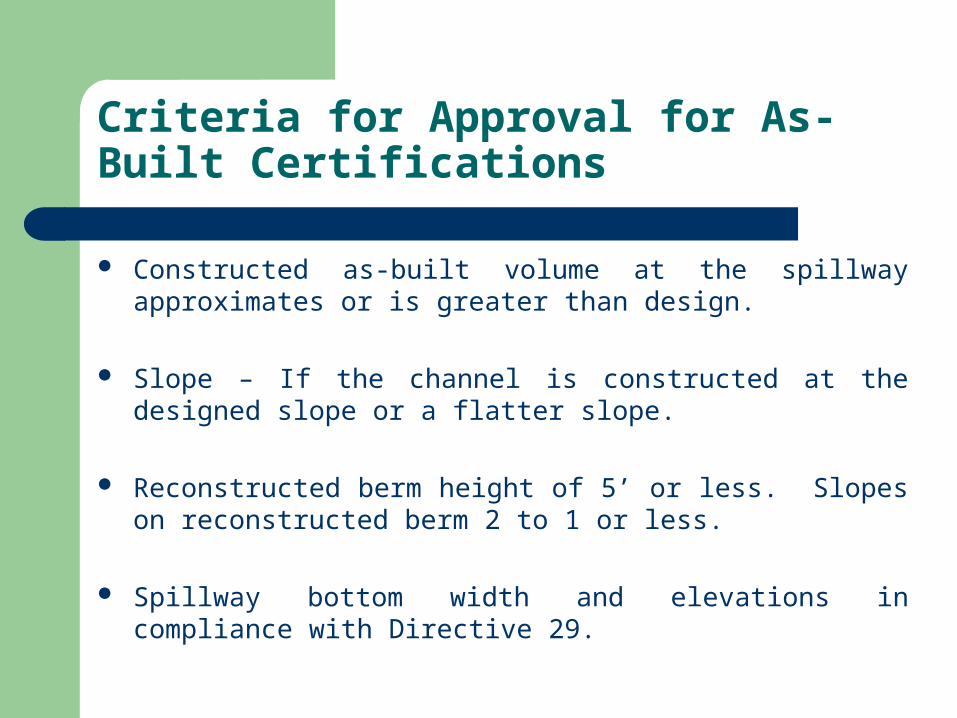
Constructed as-built volume at the spillway approximates or is greater than design.
Slope – If the channel is constructed at the designed slope or a flatter slope.
Reconstructed berm height of 5’ or less. Slopes on reconstructed berm 2 to 1 or less.
Spillway bottom width and elevations in compliance with Directive 29.
Criteria for Approval for As-Built Certifications (continued)
The number of spillways and the minimum spacing of spillways are in compliance with the permit standards.
The spacing between rock checks or berms are in compliance with permit standards.
Appropriate drainage features are used to prevent short circuiting.
Latitude and longitude must be shown for each spillway.
Criteria for Approval for As-Built Certifications (continued)
The location of each spillway must be indicated on the MRP Map or a portion of the MRP Map.
The porosity of the rock-check dams is in compliance with the permit.
Sediment ChannelsGeneral Notes
Removal Plans – We tend to get removal plans that are, in essence, boilerplate from dugouts and even embankment type structures. Our people will be looking at these much more closely in the future to ensure their appropriateness.
Backfill Stability – To repeat, the worst case backfill stability must consider the channel in place, and account for high moisture levels at pool level.
Plans and Submittals- We have been asked repeatedly by both permit and enforcement staff to request more detail on the design drawings. Of particular interest is the cross-section, which should show the constructed channel, coal seams to be mined, berms, etc. in detail.
Maximum Depth – While it does not happen commonly, we’ve received proposals for excessively deep channel (10+ ft., up to 18 ft!). This is a safety and logistic concern. At a minimum, if such a channel is proposed, outlet should be provided at regular intervals to allow ingress and egress.
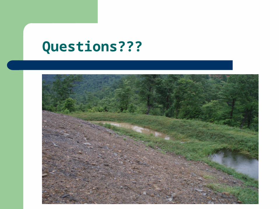
Questions???


![STATE OF RHODE ISLAND AND PROVIDENCE PLANTATIONS ... · and sediment control, site maintenance” and still sought waivers for permits “from the Narragansett Bay Commission [NBC]](https://img.pdfslide.net/doc/110x75/5ec71720e51a8404c6609265/state-of-rhode-island-and-providence-plantations-and-sediment-control-site.jpg)