Embed Size (px)
Citation preview
Proceedings, 6th International Conference on Cartography and GIS, 13-17 June 2016, Albena, Bulgaria
ISSN: 1314-0604, Eds: Bandrova T., Konecny M.
504
SPECIALIZED MAPPING IN BULGARIA
Petar Penev
Prof. Dr. Petar Penev
University of Architecture, Civil Engineering and Geodesy
Bulgaria, Sofia 1046, 1 Hristo Smirnenski Blvd.
Abstract
According to the topics taken as a basic feature, maps are subdivided into general geographic and thematic. The
specialized maps occupying a specific place in the subgroup of thematic maps. The latter are a special type of thematic
maps meant to solve a certain range of problems or designed to be used by a definite circle of users. They are the result
of systematic mapping in a given area and are created for specific use in various social and economic sectors. Their
making and publishing follow strict guidelines, instructions, rules and standards in conformity with the current
legislation (laws and regulations).
The subject of this review is specialized mapping in Bulgaria. The analysis includes description, accompanied by
examples, of the development and the active regulations, sign systems, archives and data bases of specialized maps in
these trends. The review reflects the current state of specialized mapping in Bulgaria.
Keywords: maps, specialized, functional use
INTRODUCTION
There are two large groups in the classification of maps by content:
general geographic maps
thematic maps
General geographic maps. These maps depict totality all of the elements of the region and are intended for universal
multipurpose use: to study the territory, for orientation, to solve scientific and practical problems. In the general
geographic maps, all the sites of the area that are visible are displayed with equal importance.
Thematic maps. The contents of maps of this group is determined by one or another subject. The main groups of
thematic maps are two: maps of natural phenomena and maps of public events.
A special place in the thematic maps have the special/specialized maps. The maps from this subset are a special kind of
thematic maps designed for solving a range of problems or designed for use by a certain range of users. These are maps
have with a separate function. They result from systematic mapping in a specific area. These maps are created for use in
specific socio-economic sectors. Their drafting and issuance is approved by guidelines, instructions, rules and standards
in accordance with existing regulations - laws and regulations.
The definition for the specialized maps can be the following:
The specialized maps and plans are elaborated for use within the systems of various socio-economic sectors and for
administrative and customer service in accordance with the adopted legislation.
The specialized maps based on the existing legislation in Bulgaria are:
specialized maps for spatial planning
specialized maps for spatial planning of the Black Sea coast
specialized maps of the overhead and underground lines and facilities
specialized maps of the vineyards
specialized maps of the technical infrastructure
Proceedings, 6th International Conference on Cartography and GIS, 13-17 June 2016, Albena, Bulgaria
ISSN: 1314-0604, Eds: Bandrova T., Konecny M.
505
specialized maps of the protected areas
specialized maps of water, water facilities and installations
specialized maps the maritime, inland waterways and ports
specialized maps of the mineral resources
specialized maps of the cultural heritage
maps of the forests
maps of the agricultural land and the forest land
soil maps
geological maps
ecological maps
navigational charts
As separate, can be added the groups of:
cadastral maps
topographic maps
maps for earth sciences
TOPOGRAPHIC MAPPING
The beginning of Bulgarian topography is considered 1891 when the topographic department of the General Staff of the
Army was founded by King Ferdinand Decree.
Large scale mapping
It is assumed that the large-scale topographic mapping in Bulgaria has begun in 1954 when the Head Management
Office of Geodesy and Cartography (HMOGC) has developed rules for the creation of Large Scale Topographic Map
(LSTM).
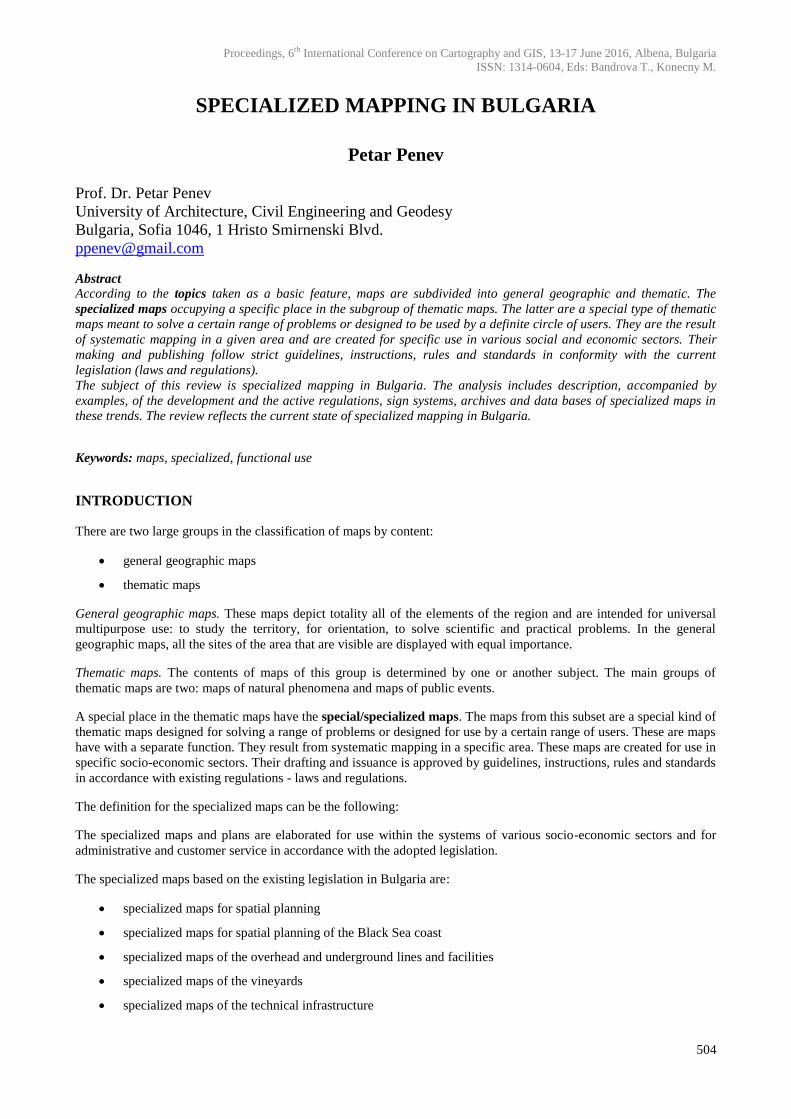
The scales of LSTM are as follows: 1:5,000 for field, intensive and mining areas (approximately 92,000 km2) and
1:10,000 for high-mountain, low-productive and forest areas (around 20,000 km2). There are Instructions for preparing
and symbols for LSTM published by HMOGC. The projections are consistently two: the so-called Coordinate System
1950 and Coordinate System 1970 (Fig. 1).
Figure 1. Part of a LSTM in scale 1: 5,000 together with parts of the frame and out-frame content
Topographical plans / maps at scales of 1: 500, 1: 1000 and 1: 2000 have been sporadically elaborated, usually noted as:
geodesic survey, topographic survey, situational plan that serve as a basis for engineering and architectural design.
There has been no existing regulation for their adoption. Other plans and maps depicting relief have been noted as
topographic plan either. [3].
Proceedings, 6th International Conference on Cartography and GIS, 13-17 June 2016, Albena, Bulgaria
ISSN: 1314-0604, Eds: Bandrova T., Konecny M.
506
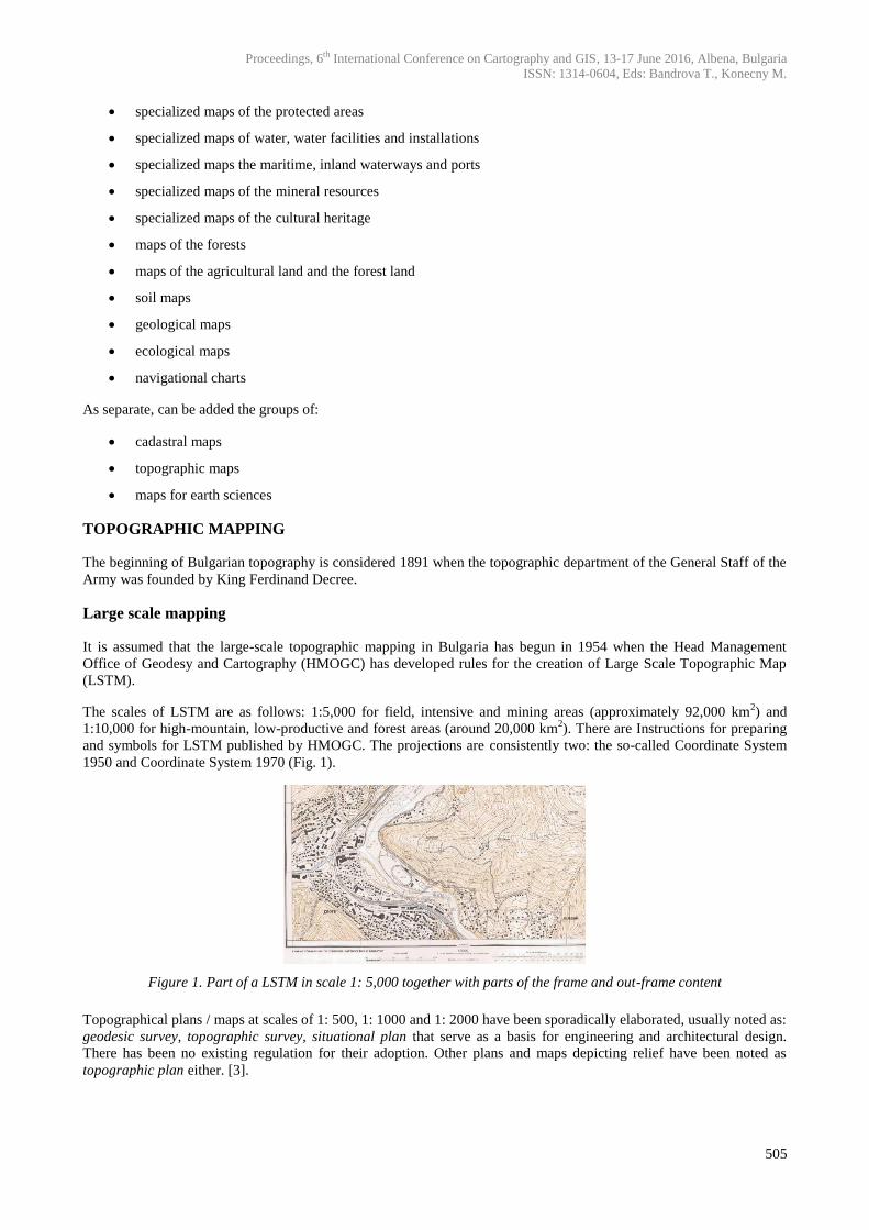
According to Art. 9 of the Law on Geodesy and Cartography creation and maintenance of topographic maps at a scale
of 1:25,000 and smaller is the responsibility of the Ministry of Defense. Bulgarian topographic maps of this group are in
scales of 1:25,000, 1:50,000, 1:100,000 and 1: 200,000. Military Geographic Service prepares maps at NATO
standards: TLM 50 (Topographic Line Map, scale 1:50,000) and JOG (Join Operation Graphic, scale 1:250,000).
Bulgarian topographic maps are issued in two versions: for civilian purposes and for official use (Fig. 2).
Figure 2. Sheet of a topographic map in scale 1:50,000
The Agency of Geodesy, Cartography and Cadaster keeps originals, offset copies and scanned copies of LSTM sheets.
The Military Geographic Service has begun the creation of an archive of medium-and small-scale topographic maps.
Cadastral mapping
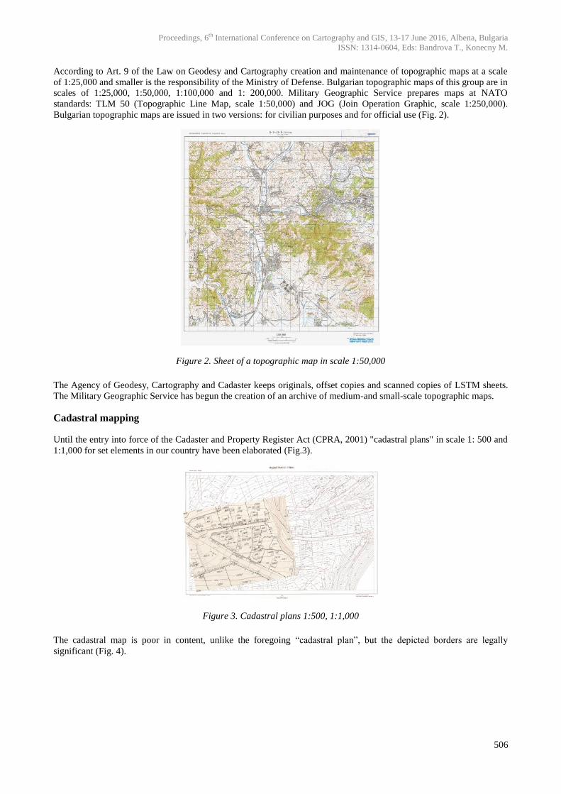
Until the entry into force of the Cadaster and Property Register Act (CPRA, 2001) "cadastral plans" in scale 1: 500 and
1:1,000 for set elements in our country have been elaborated (Fig.3).
Figure 3. Cadastral plans 1:500, 1:1,000
The cadastral map is poor in content, unlike the foregoing “cadastral plan”, but the depicted borders are legally
significant (Fig. 4).
Proceedings, 6th International Conference on Cartography and GIS, 13-17 June 2016, Albena, Bulgaria
ISSN: 1314-0604, Eds: Bandrova T., Konecny M.
507
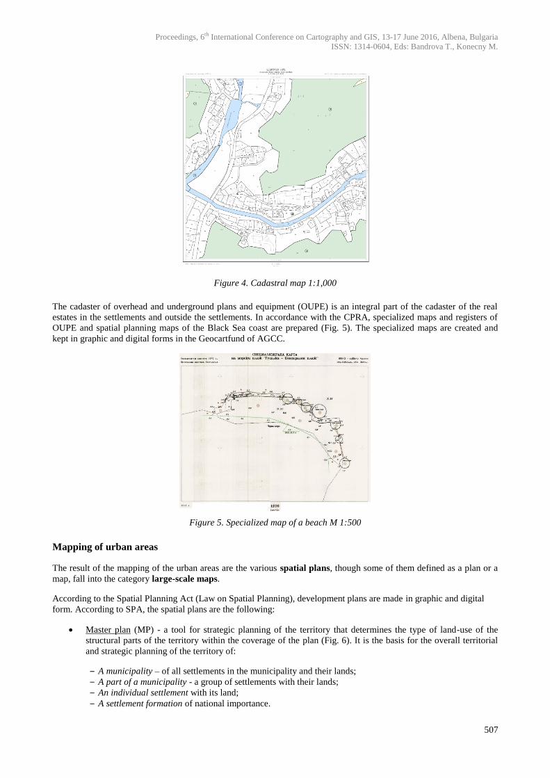
Figure 4. Cadastral map 1:1,000
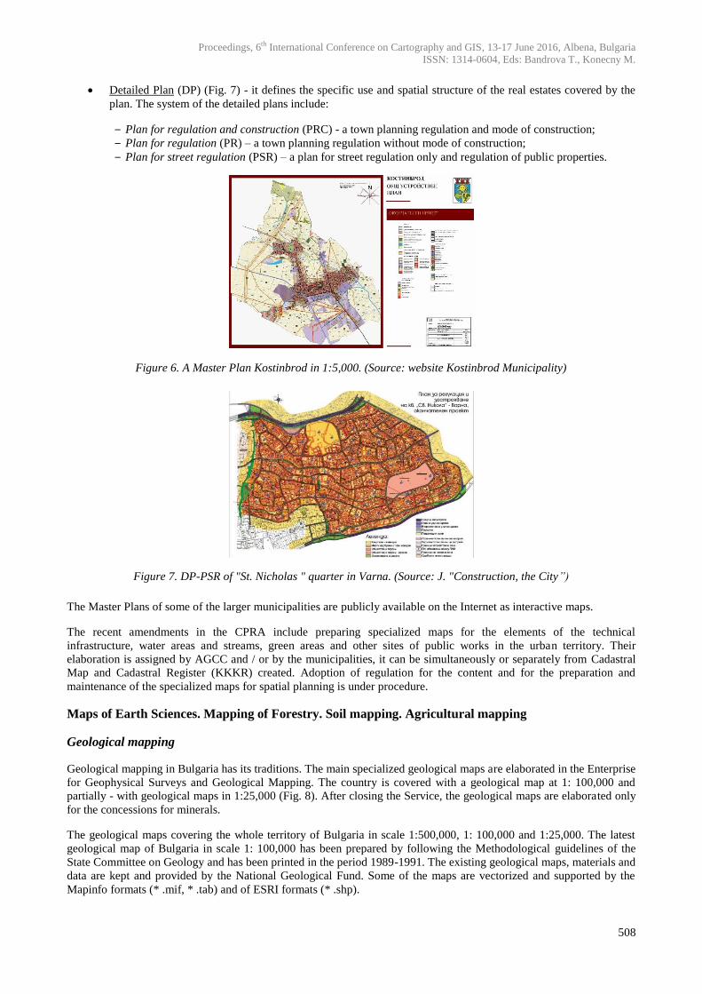
The cadaster of overhead and underground plans and equipment (OUPE) is an integral part of the cadaster of the real
estates in the settlements and outside the settlements. In accordance with the CPRA, specialized maps and registers of
OUPE and spatial planning maps of the Black Sea coast are prepared (Fig. 5). The specialized maps are created and
kept in graphic and digital forms in the Geocartfund of AGCC.
Figure 5. Specialized map of a beach M 1:500
Mapping of urban areas
The result of the mapping of the urban areas are the various spatial plans, though some of them defined as a plan or a
map, fall into the category large-scale maps.
According to the Spatial Planning Act (Law on Spatial Planning), development plans are made in graphic and digital
form. According to SPA, the spatial plans are the following:
Master plan (MP) - a tool for strategic planning of the territory that determines the type of land-use of the
structural parts of the territory within the coverage of the plan (Fig. 6). It is the basis for the overall territorial
and strategic planning of the territory of:
‒ A municipality – of all settlements in the municipality and their lands;
‒ A part of a municipality - a group of settlements with their lands;
‒ An individual settlement with its land;
‒ A settlement formation of national importance.
Proceedings, 6th International Conference on Cartography and GIS, 13-17 June 2016, Albena, Bulgaria
ISSN: 1314-0604, Eds: Bandrova T., Konecny M.
508
Detailed Plan (DP) (Fig. 7) - it defines the specific use and spatial structure of the real estates covered by the
plan. The system of the detailed plans include:
‒ Plan for regulation and construction (PRC) - a town planning regulation and mode of construction;
‒ Plan for regulation (PR) – a town planning regulation without mode of construction;
‒ Plan for street regulation (PSR) – a plan for street regulation only and regulation of public properties.
Figure 6. A Master Plan Kostinbrod in 1:5,000. (Source: website Kostinbrod Municipality)
Figure 7. DP-PSR of "St. Nicholas " quarter in Varna. (Source: J. "Construction, the City”)
The Master Plans of some of the larger municipalities are publicly available on the Internet as interactive maps.
The recent amendments in the CPRA include preparing specialized maps for the elements of the technical
infrastructure, water areas and streams, green areas and other sites of public works in the urban territory. Their
elaboration is assigned by AGCC and / or by the municipalities, it can be simultaneously or separately from Cadastral
Map and Cadastral Register (KKKR) created. Adoption of regulation for the content and for the preparation and
maintenance of the specialized maps for spatial planning is under procedure.
Maps of Earth Sciences. Mapping of Forestry. Soil mapping. Agricultural mapping
Geological mapping
Geological mapping in Bulgaria has its traditions. The main specialized geological maps are elaborated in the Enterprise
for Geophysical Surveys and Geological Mapping. The country is covered with a geological map at 1: 100,000 and
partially - with geological maps in 1:25,000 (Fig. 8). After closing the Service, the geological maps are elaborated only
for the concessions for minerals.
The geological maps covering the whole territory of Bulgaria in scale 1:500,000, 1: 100,000 and 1:25,000. The latest
geological map of Bulgaria in scale 1: 100,000 has been prepared by following the Methodological guidelines of the
State Committee on Geology and has been printed in the period 1989-1991. The existing geological maps, materials and
data are kept and provided by the National Geological Fund. Some of the maps are vectorized and supported by the
Mapinfo formats (* .mif, * .tab) and of ESRI formats (* .shp).
Proceedings, 6th International Conference on Cartography and GIS, 13-17 June 2016, Albena, Bulgaria
ISSN: 1314-0604, Eds: Bandrova T., Konecny M.
509
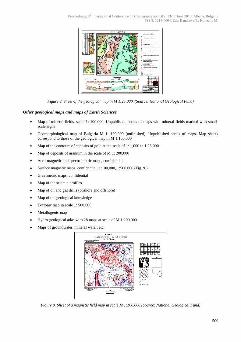
Figure 8. Sheet of the geological map in M 1:25,000. (Source: National Geological Fund)
Other geological maps and maps of Earth Sciences
Map of mineral fields, scale 1: 100,000. Unpublished series of maps with mineral fields marked with small-
scale signs
Geomorphological map of Bulgaria M 1: 100,000 (unfinished). Unpublished series of maps. Map sheets
correspond to those of the geological map in M 1:100,000
Map of the contours of deposits of gold at the scale of 1: 1,000 to 1:25,000
Map of deposits of uranium in the scale of M 1: 200,000
Aero-magnetic and spectrometric maps, confidential
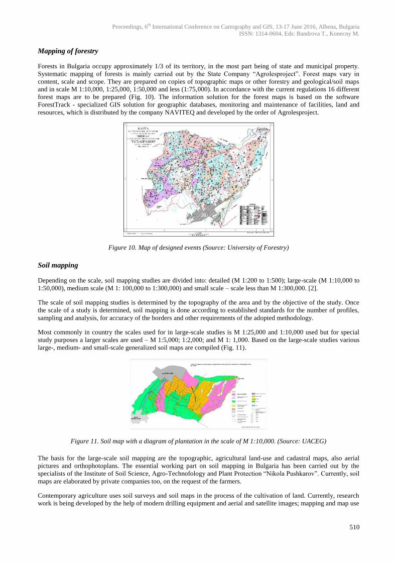
Surface magnetic maps, confidential, 1:100,000, 1:500,000 (Fig. 9.)
Gravimetric maps, confidential
Map of the seismic profiles
Map of oil and gas drills (onshore and offshore)
Map of the geological knowledge
Tectonic map in scale 1: 500,000
Metallogenic map
Hydro-geological atlas with 28 maps at scale of M 1:200,000
Maps of groundwater, mineral water, etc.
Figure 9. Sheet of a magnetic field map in scale M 1:100,000 (Source: National Geological Fund)
Proceedings, 6th International Conference on Cartography and GIS, 13-17 June 2016, Albena, Bulgaria
ISSN: 1314-0604, Eds: Bandrova T., Konecny M.
510
Mapping of forestry
Forests in Bulgaria occupy approximately 1/3 of its territory, in the most part being of state and municipal property.
Systematic mapping of forests is mainly carried out by the State Company “Agrolesproject”. Forest maps vary in
content, scale and scope. They are prepared on copies of topographic maps or other forestry and geological/soil maps
and in scale M 1:10,000, 1:25,000, 1:50,000 and less (1:75,000). In accordance with the current regulations 16 different
forest maps are to be prepared (Fig. 10). The information solution for the forest maps is based on the software
ForestTrack - specialized GIS solution for geographic databases, monitoring and maintenance of facilities, land and
resources, which is distributed by the company NAVITEQ and developed by the order of Agrolesproject.
Figure 10. Map of designed events (Source: University of Forestry)
Soil mapping
Depending on the scale, soil mapping studies are divided into: detailed (M 1:200 to 1:500); large-scale (M 1:10,000 to
1:50,000), medium scale (M 1: 100,000 to 1:300,000) and small scale – scale less than M 1:300,000. [2].
The scale of soil mapping studies is determined by the topography of the area and by the objective of the study. Once
the scale of a study is determined, soil mapping is done according to established standards for the number of profiles,
sampling and analysis, for accuracy of the borders and other requirements of the adopted methodology.
Most commonly in country the scales used for in large-scale studies is M 1:25,000 and 1:10,000 used but for special
study purposes a larger scales are used – M 1:5,000; 1:2,000; and M 1: 1,000. Based on the large-scale studies various
large-, medium- and small-scale generalized soil maps are compiled (Fig. 11).
Figure 11. Soil map with a diagram of plantation in the scale of M 1:10,000. (Source: UACEG)
The basis for the large-scale soil mapping are the topographic, agricultural land-use and cadastral maps, also aerial
pictures and orthophotoplans. The essential working part on soil mapping in Bulgaria has been carried out by the
specialists of the Institute of Soil Science, Agro-Technofology and Plant Protection “Nikola Pushkarov”. Currently, soil
maps are elaborated by private companies too, on the request of the farmers.
Contemporary agriculture uses soil surveys and soil maps in the process of the cultivation of land. Currently, research
work is being developed by the help of modern drilling equipment and aerial and satellite images; mapping and map use
Proceedings, 6th International Conference on Cartography and GIS, 13-17 June 2016, Albena, Bulgaria
ISSN: 1314-0604, Eds: Bandrova T., Konecny M.
511
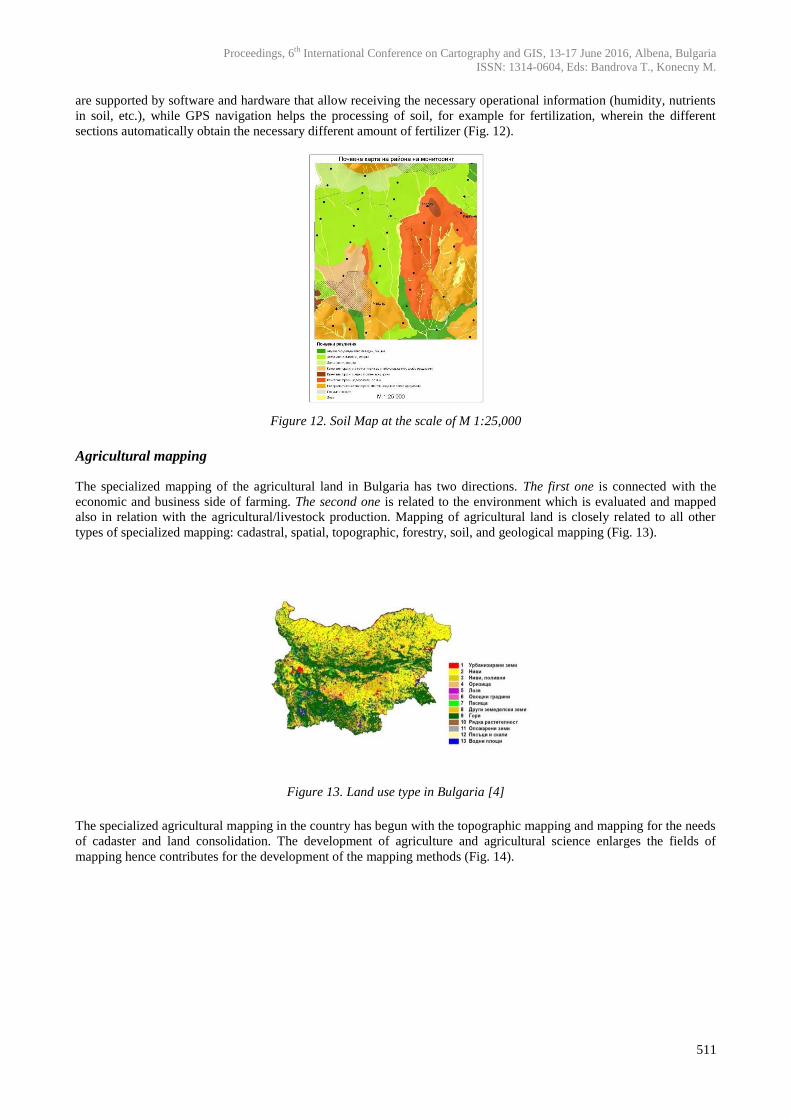
are supported by software and hardware that allow receiving the necessary operational information (humidity, nutrients
in soil, etc.), while GPS navigation helps the processing of soil, for example for fertilization, wherein the different
sections automatically obtain the necessary different amount of fertilizer (Fig. 12).
Figure 12. Soil Map at the scale of M 1:25,000
Agricultural mapping
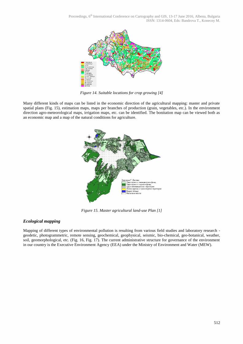
The specialized mapping of the agricultural land in Bulgaria has two directions. The first one is connected with the
economic and business side of farming. The second one is related to the environment which is evaluated and mapped
also in relation with the agricultural/livestock production. Mapping of agricultural land is closely related to all other
types of specialized mapping: cadastral, spatial, topographic, forestry, soil, and geological mapping (Fig. 13).
Figure 13. Land use type in Bulgaria [4]
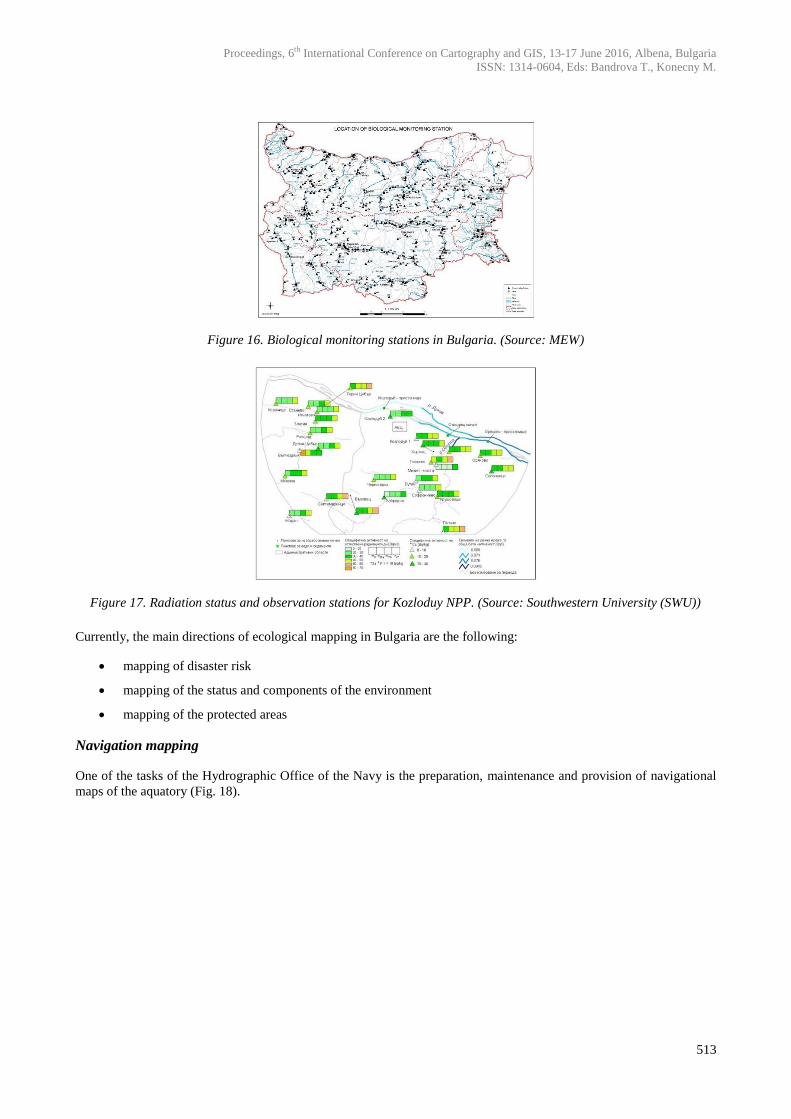
The specialized agricultural mapping in the country has begun with the topographic mapping and mapping for the needs
of cadaster and land consolidation. The development of agriculture and agricultural science enlarges the fields of
mapping hence contributes for the development of the mapping methods (Fig. 14).
Proceedings, 6th International Conference on Cartography and GIS, 13-17 June 2016, Albena, Bulgaria
ISSN: 1314-0604, Eds: Bandrova T., Konecny M.
512
Figure 14. Suitable locations for crop growing [4]
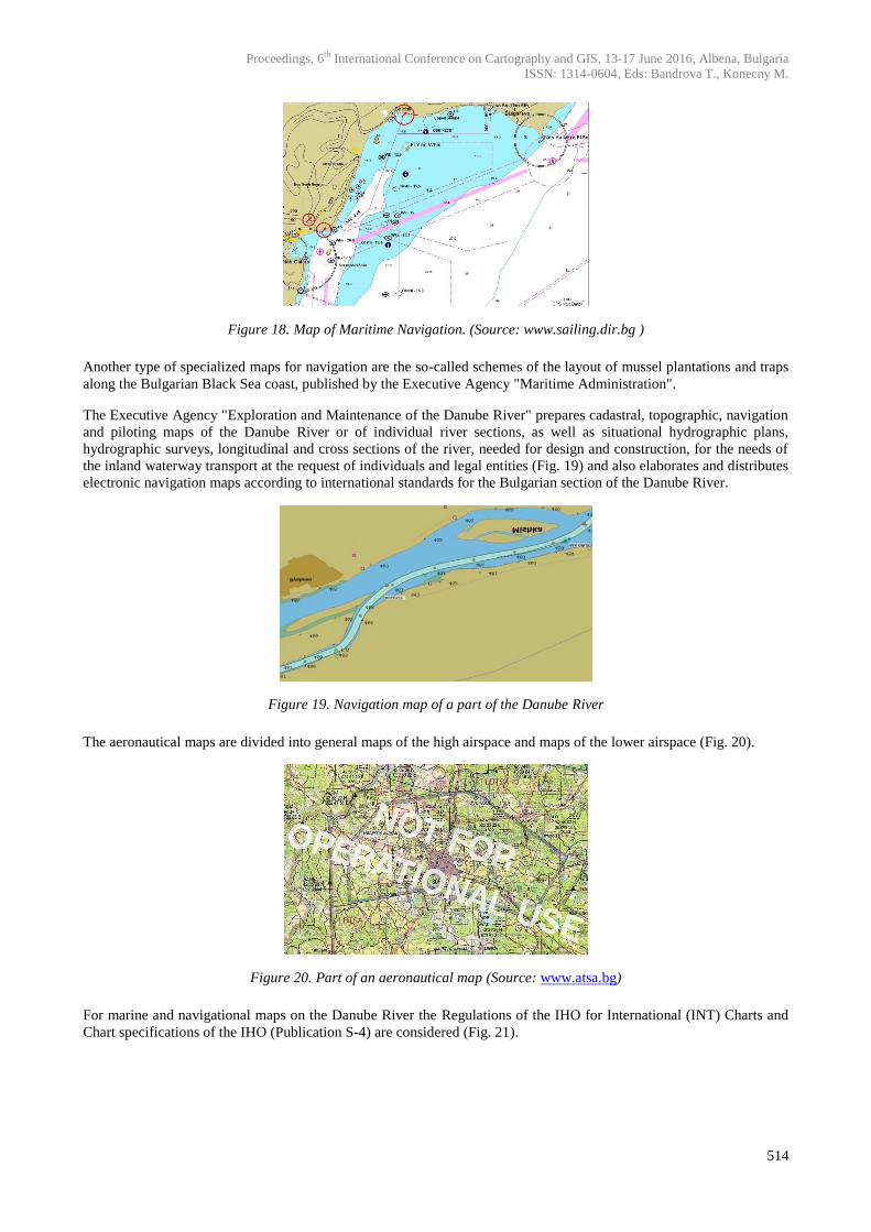
Many different kinds of maps can be listed in the economic direction of the agricultural mapping: master and private
spatial plans (Fig. 15), estimation maps, maps per branches of production (grain, vegetables, etc.). In the environment
direction agro-meteorological maps, irrigation maps, etc. can be identified. The bonitation map can be viewed both as
an economic map and a map of the natural conditions for agriculture.
Figure 15. Master agricultural land-use Plan [1]
Ecological mapping
Mapping of different types of environmental pollution is resulting from various field studies and laboratory research -
geodetic, photogrammetric, remote sensing, geochemical, geophysical, seismic, bio-chemical, geo-botanical, weather,
soil, geomorphological, etc. (Fig. 16, Fig. 17). The current administrative structure for governance of the environment
in our country is the Executive Environment Agency (EEA) under the Ministry of Environment and Water (MEW).
Proceedings, 6th International Conference on Cartography and GIS, 13-17 June 2016, Albena, Bulgaria
ISSN: 1314-0604, Eds: Bandrova T., Konecny M.
513
Figure 16. Biological monitoring stations in Bulgaria. (Source: MEW)
Figure 17. Radiation status and observation stations for Kozloduy NPP. (Source: Southwestern University (SWU))
Currently, the main directions of ecological mapping in Bulgaria are the following:
mapping of disaster risk
mapping of the status and components of the environment
mapping of the protected areas
Navigation mapping
One of the tasks of the Hydrographic Office of the Navy is the preparation, maintenance and provision of navigational
maps of the aquatory (Fig. 18).
Proceedings, 6th International Conference on Cartography and GIS, 13-17 June 2016, Albena, Bulgaria
ISSN: 1314-0604, Eds: Bandrova T., Konecny M.
514
Figure 18. Map of Maritime Navigation. (Source: www.sailing.dir.bg )
Another type of specialized maps for navigation are the so-called schemes of the layout of mussel plantations and traps
along the Bulgarian Black Sea coast, published by the Executive Agency "Maritime Administration".
The Executive Agency "Exploration and Maintenance of the Danube River" prepares cadastral, topographic, navigation
and piloting maps of the Danube River or of individual river sections, as well as situational hydrographic plans,
hydrographic surveys, longitudinal and cross sections of the river, needed for design and construction, for the needs of
the inland waterway transport at the request of individuals and legal entities (Fig. 19) and also elaborates and distributes
electronic navigation maps according to international standards for the Bulgarian section of the Danube River.
Figure 19. Navigation map of a part of the Danube River
The aeronautical maps are divided into general maps of the high airspace and maps of the lower airspace (Fig. 20).
Figure 20. Part of an aeronautical map (Source: www.atsa.bg)
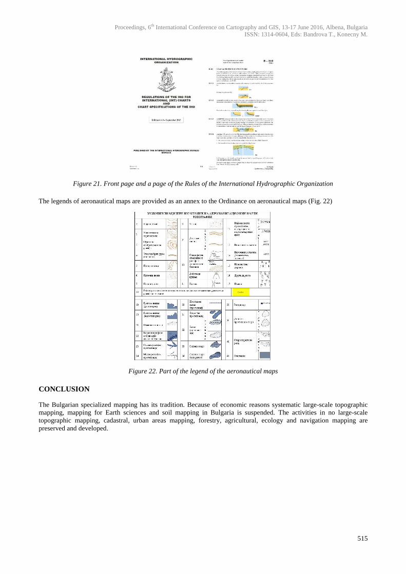
For marine and navigational maps on the Danube River the Regulations of the IHO for International (INT) Charts and
Chart specifications of the IHO (Publication S-4) are considered (Fig. 21).
Proceedings, 6th International Conference on Cartography and GIS, 13-17 June 2016, Albena, Bulgaria
ISSN: 1314-0604, Eds: Bandrova T., Konecny M.
515
Figure 21. Front page and a page of the Rules of the International Hydrographic Organization
The legends of aeronautical maps are provided as an annex to the Ordinance on aeronautical maps (Fig. 22)
Figure 22. Part of the legend of the aeronautical maps
CONCLUSION
The Bulgarian specialized mapping has its tradition. Because of economic reasons systematic large-scale topographic
mapping, mapping for Earth sciences and soil mapping in Bulgaria is suspended. The activities in no large-scale
topographic mapping, cadastral, urban areas mapping, forestry, agricultural, ecology and navigation mapping are
preserved and developed.

Proceedings, 6th International Conference on Cartography and GIS, 13-17 June 2016, Albena, Bulgaria
ISSN: 1314-0604, Eds: Bandrova T., Konecny M.
516
REFERENCES
Gyurov, T., Soil and Geographical peculiarities and bonitation of the agricultural lands in Gotse Delchev Region, Thesis Abstract,
ISSAPP ”N. Pushkarov”, Sofia, 2011
Dimitrov, D., Equipment, status and methodology of soil mapping in Bulgaria. Proc. ISSP ”N. Pushkarov”, Sofia, 1984
Penev, P., K. Mikrenska-Cherneva, Specialized Mapping in Bulgaria, Intel Eltrans, Sofia, 201 pp., 2015
Soynova, V., Bonitation, Categorization and Mapping of Bulgarian lands by degrees of suitability for effective erosion control use,
Thesis Abstract, ISSAPP “Nikola Pushkarov”, Sofia, 2014
BIOGRAPHY
Professor, Dr at University of Architecture, Civil engineering and Geodesy – Sofia (UACEG).
Dean of Faculty of Geodesy (2000 – 2004), Head of Department of Photogrammetry and
Cartography (2004 – 2008), Vice-Rector of UACEG (2008 – 2016). Head of seven university
research projects and two international projects Leonardo da Vinci. Participant in other
international projects.
Lecturer in Cartography, Thematic Мapping, Web Cartography, Map design and production in
UACEG. Research interests in the field of Cartography: Geographic Information Systems, Space
mapping, Thematic and Internet-mapping.