Embed Size (px)
Citation preview
Technology, Device and
Application of UAV in
Humanitarian Aid
Center of Excellence for Unmanned Aerial Systems (COEUAS)
Universiti Malaysia Perlis (UniMAP)
24/5/2016 NaDES
Assoc. Prof Dr Hazry Desa
Overview
UAVs come in a wide variety
size, range, and capacity for autonomous flight.
Controlled remotely by a human pilot on the ground, pre-set
coordinates or patterns, or land if they lose contact with the pilot
Medium to large system UAVs:
range from dozen of kilograms to the size of manned plane
fly at high or medium altitudes for hours or days at time,
hundreds or thousands of miles from their operators
very expensive
sophisticated base stations and pilot training
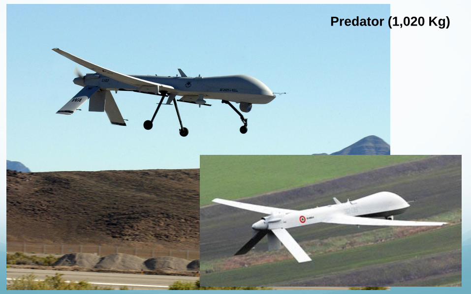
Predator (1,020 Kg)
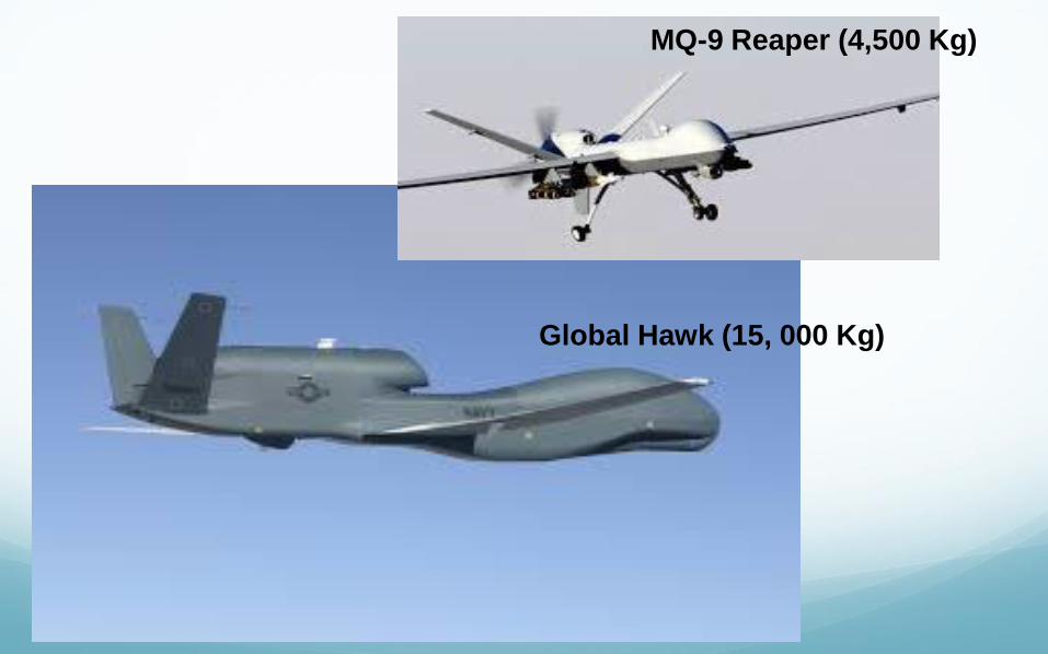
Global Hawk (15, 000 Kg)
MQ-9 Reaper (4,500 Kg)
Small System (mini and micro-UAVs):
small
fix-wing aircraft and rotor aircraft
flight range is limited
flight time under an hour
simple operating system
can carry sophisticated cameras and GPS equipment
cost can range from 5000 to several hundred thousand
dollars
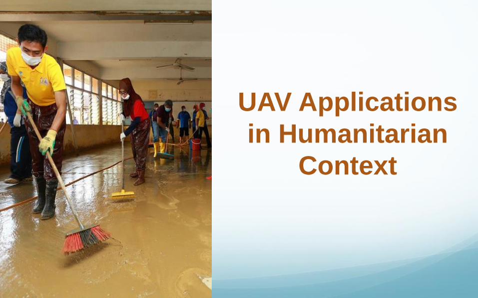
UAV Applications
in Humanitarian
Context
1. Nepal Earthquake 2015:
• 7.8 magnitude earthquake struck Nepal in April 2015. 5000 relief
workers and rescuers scrambled to assist the 8.1 million affected
people, more than a quarter of Nepal’s population.
• Expert from Ontario, used UAVs equipped with thermal
imaging cameras to identify survivors.
• The drone mapping technology used in an effort to aid the
reconstruction.
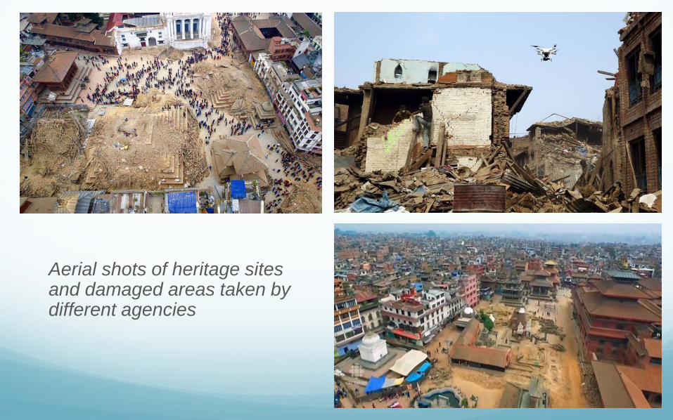
Aerial shots of heritage sites and damaged areas taken by different agencies
2. Massive Flooding in Balkans, Bosnia 2014:
• Heaviest rain in 120 years – 1.5million people (40% population)
• The floods caused damage and landslides
• Brought landmines to the surface
• Deployed UAV with HD Camera and NiR Camera to identify the location of landmines displaced
• Created 3D Maps and uses geo-statistical modeling to determine which direction land mines may have been displaced – declare as risk area
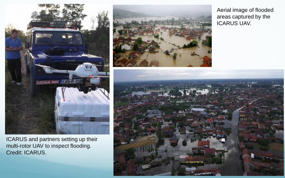
ICARUS and partners setting up their
multi-rotor UAV to inspect flooding.
Credit: ICARUS.
Aerial image of flooded
areas captured by the
ICARUS UAV.
3. Typoon Haiyan in Philippines 2013:
• Devastated the city of Tacloban, Philippines in Nov 2013
• UAVs are used to map the country
• Bring in UAV with a range of up 5km and high resolution video
camera to assist humanitarian responders
• UNTV has used drone technology to give speedy and accurate
reports in the damages
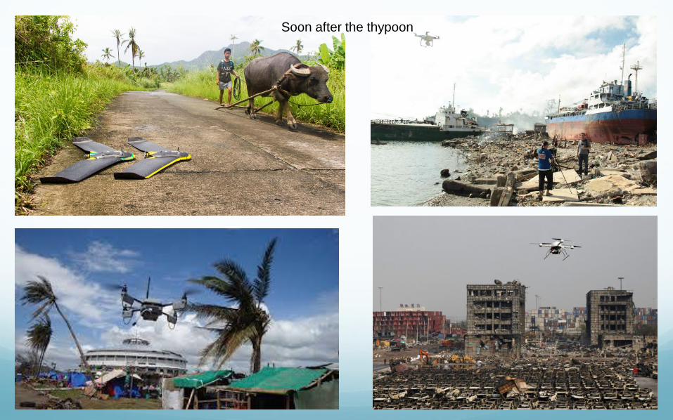
Soon after the thypoon
4. Massive Flooding in Kelantan 2015:
• UniMAP has executed a CSR in helping flood victims in Kelantan
generally and focus on the people around Sek Keb Kampung Laut,
Tumpat
• Using Falcon 8, COEUAS has come up with a concept of aerial
mapping using DEM and simulation of flow and reservoir during
flood for the purpose of the flood disaster prevention
• By analyzing the data and simulations, interested parties can
determine which area will be affected when the water rise at a
certain rate and prepare the appropriate counter measures that can
be taken to overcome the problem of flooding
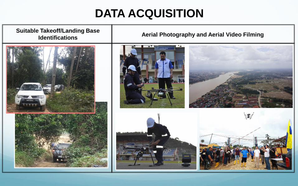
DATA ACQUISITION
Suitable Takeoff/Landing Base
Identifications Aerial Photography and Aerial Video Filming
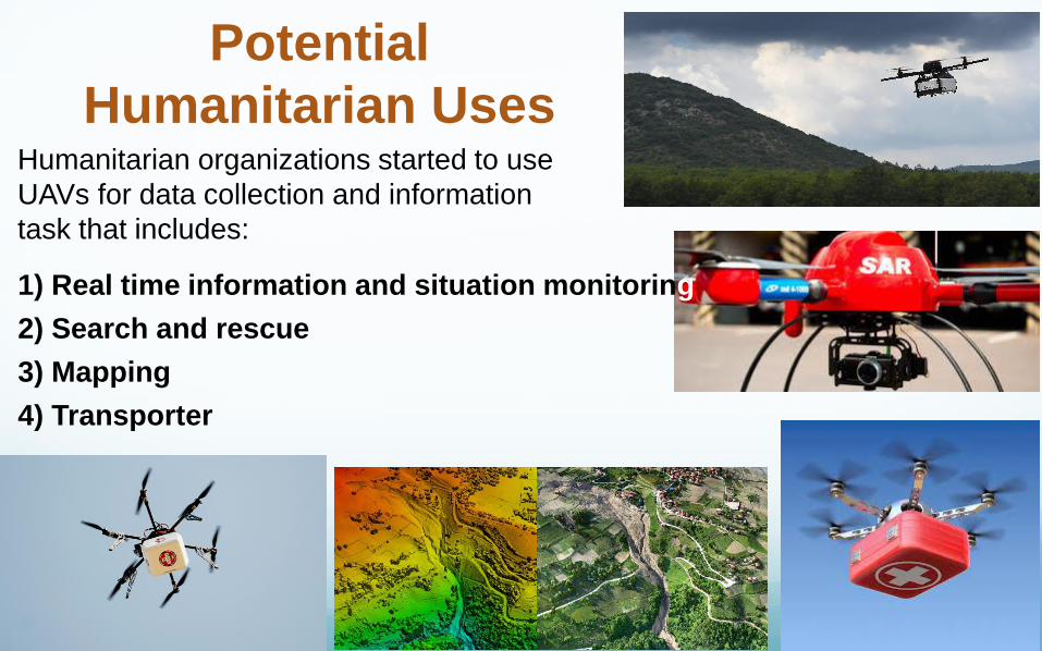
Potential
Humanitarian Uses
1) Real time information and situation monitoring
2) Search and rescue
3) Mapping
4) Transporter
Humanitarian organizations started to use
UAVs for data collection and information
task that includes:
1.Real time information and situation monitoring
The most common use of UAVs is the provision of high altitude video feed or photos
More sophisticated systems can broadcast a live feed directly over the internet
These images can assist in task in humanitarian aid that include:
rapid assessment of damage such collapsed buildings or blocked roads
monitoring distribution of goods, such as tarpaulins or tents
Identifying and analyzing temporary settlements or tracking displacement or movement of people
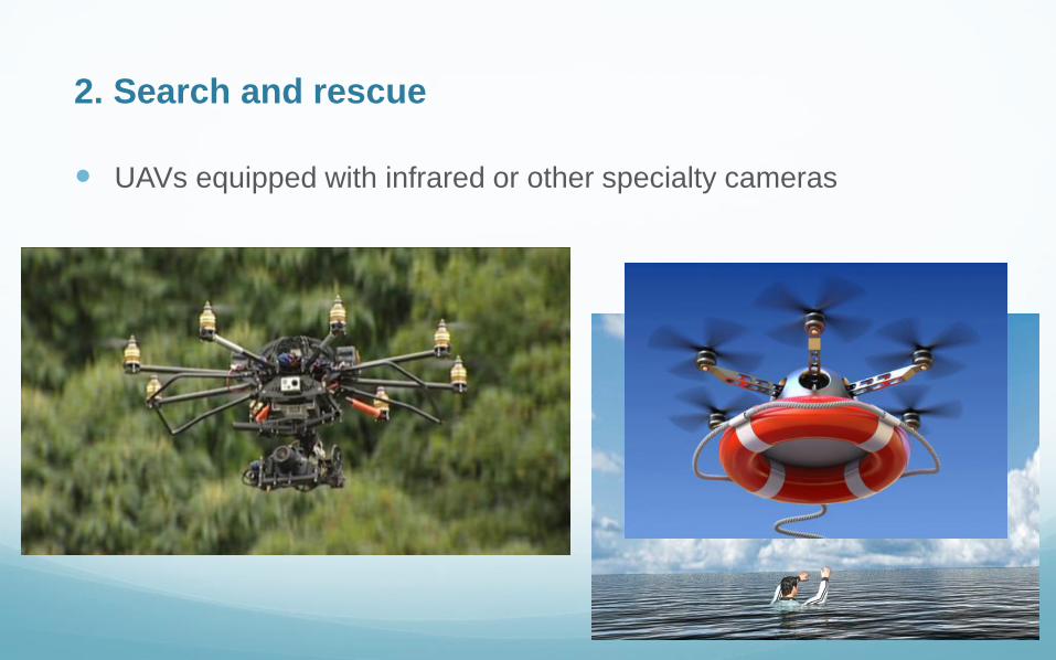
UAVs equipped with infrared or other specialty cameras
2. Search and rescue
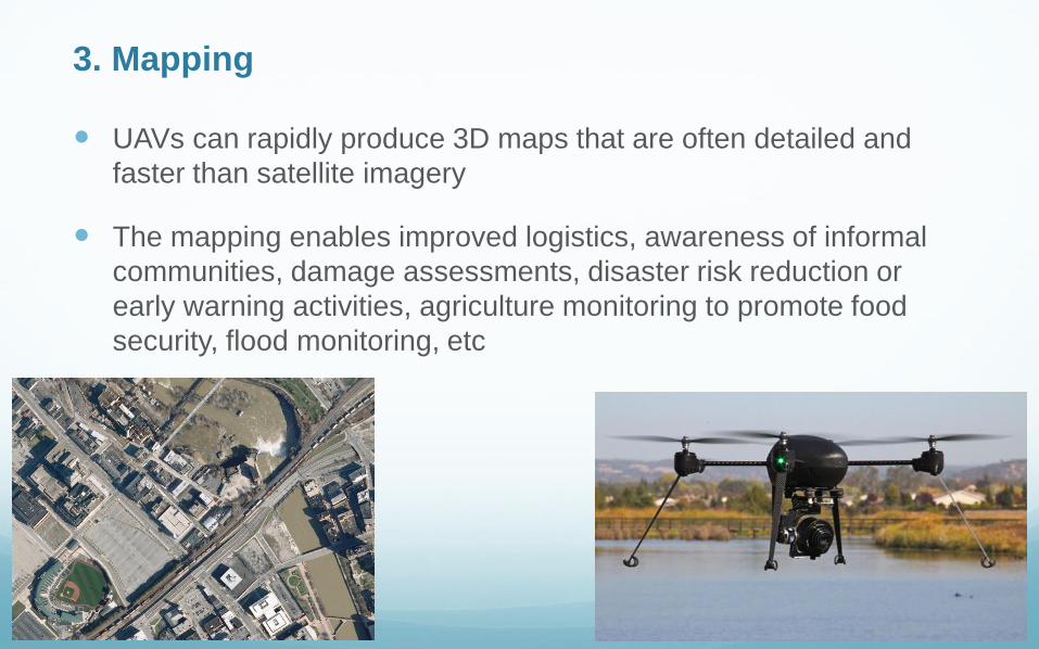
UAVs can rapidly produce 3D maps that are often detailed and
faster than satellite imagery
The mapping enables improved logistics, awareness of informal
communities, damage assessments, disaster risk reduction or
early warning activities, agriculture monitoring to promote food
security, flood monitoring, etc
3. Mapping
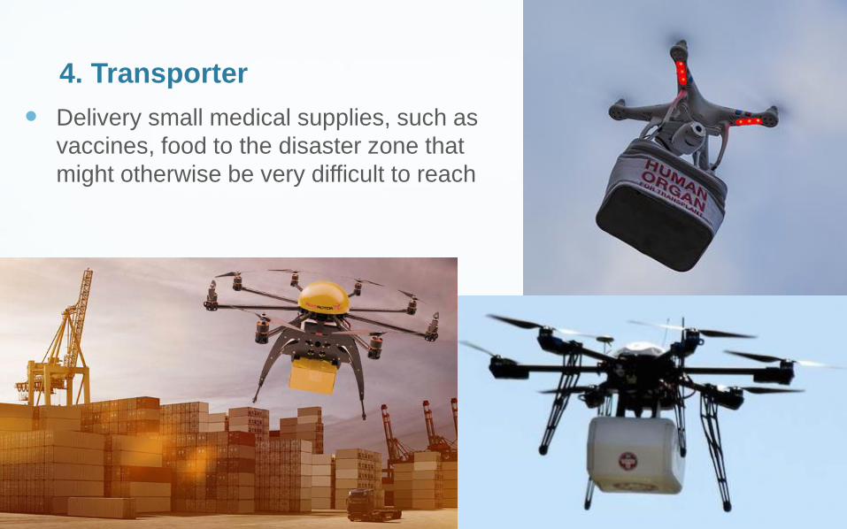
4. Transporter
Delivery small medical supplies, such as
vaccines, food to the disaster zone that
might otherwise be very difficult to reach
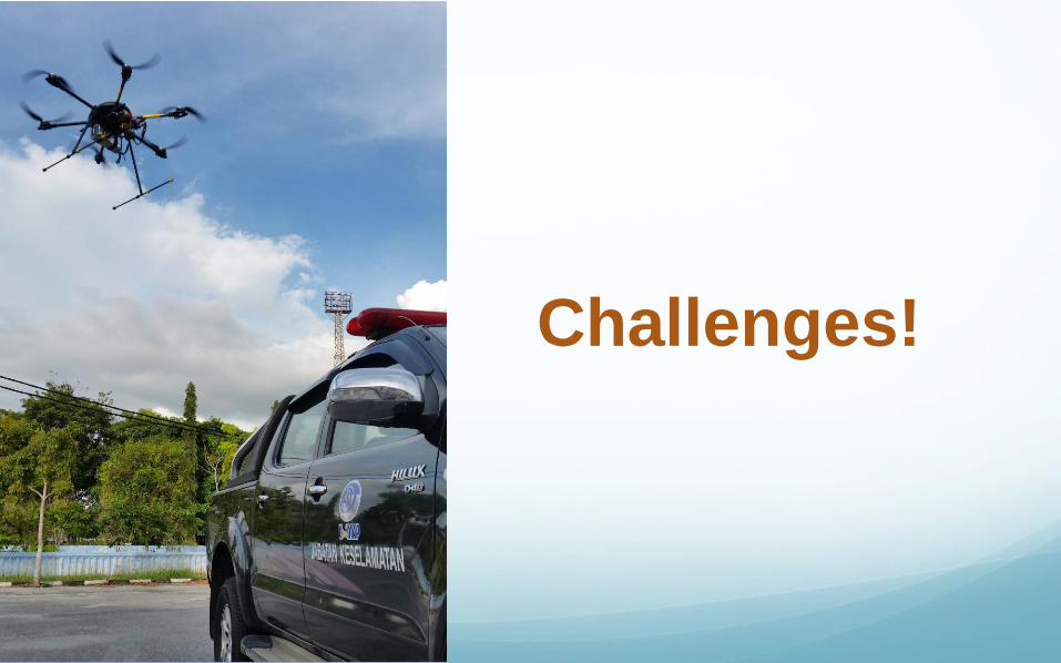
Challenges!
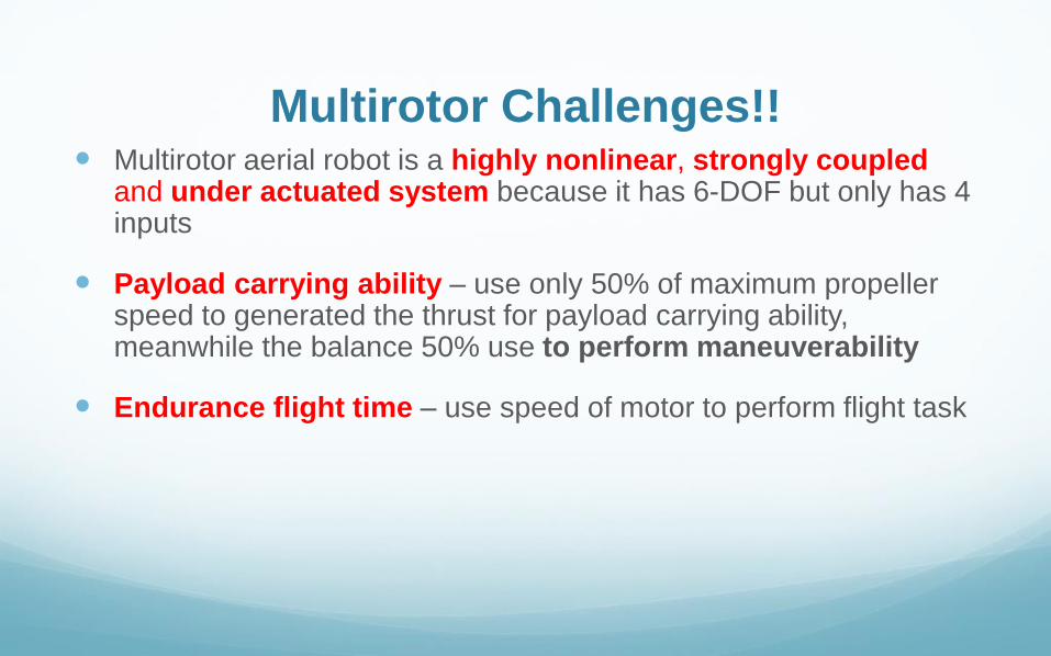
Multirotor Challenges!! Multirotor aerial robot is a highly nonlinear, strongly coupled
and under actuated system because it has 6-DOF but only has 4 inputs
Payload carrying ability – use only 50% of maximum propeller speed to generated the thrust for payload carrying ability, meanwhile the balance 50% use to perform maneuverability
Endurance flight time – use speed of motor to perform flight task
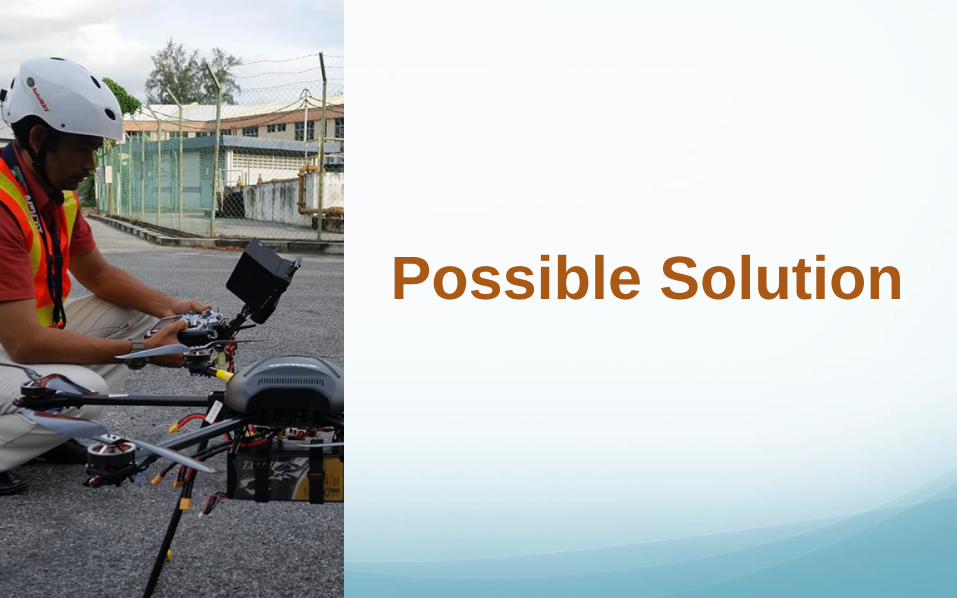
Possible Solution
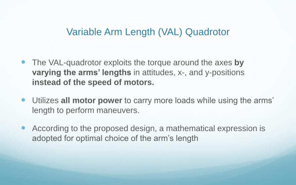
Variable Arm Length (VAL) Quadrotor
The VAL-quadrotor exploits the torque around the axes by
varying the arms’ lengths in attitudes, x-, and y-positions
instead of the speed of motors.
Utilizes all motor power to carry more loads while using the arms’
length to perform maneuvers.
According to the proposed design, a mathematical expression is
adopted for optimal choice of the arm’s length
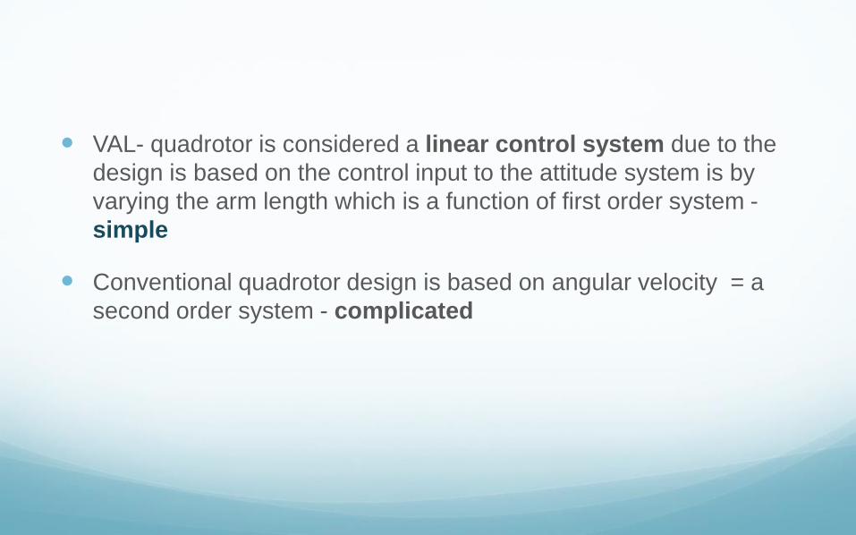
VAL- quadrotor is considered a linear control system due to the
design is based on the control input to the attitude system is by
varying the arm length which is a function of first order system -
simple
Conventional quadrotor design is based on angular velocity = a
second order system - complicated
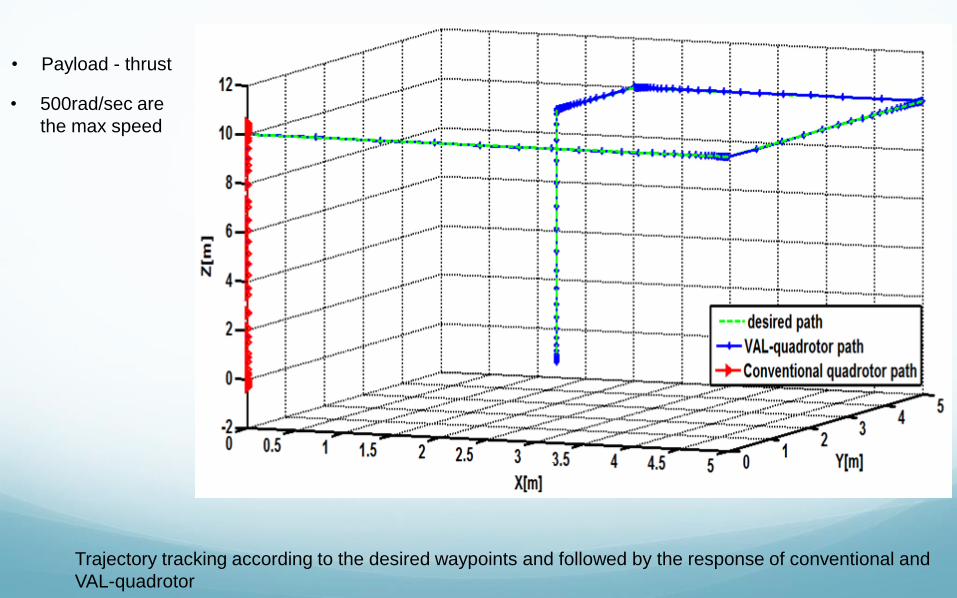
Trajectory tracking according to the desired waypoints and followed by the response of conventional and
VAL-quadrotor
• 500rad/sec are
the max speed
• Payload - thrust
• The VAL-quadrotor can improve the capability of payload about
40% extra of the standard quadrotor
• In normal case, VAL-quadrotor without carrying a load can
increase the endurance time
• Val-quadrotor - Increase the life time of the motor since speed
of the motor still constant during the flight time means the motor
coil not affected by the thermal heating caused by increasing
and decreasing the motor speed
Conclusion
With the capability to carry
more payload make the
VAL-quadrotor compatible
with the future
requirement especially in
using for humanitarian aid
activity
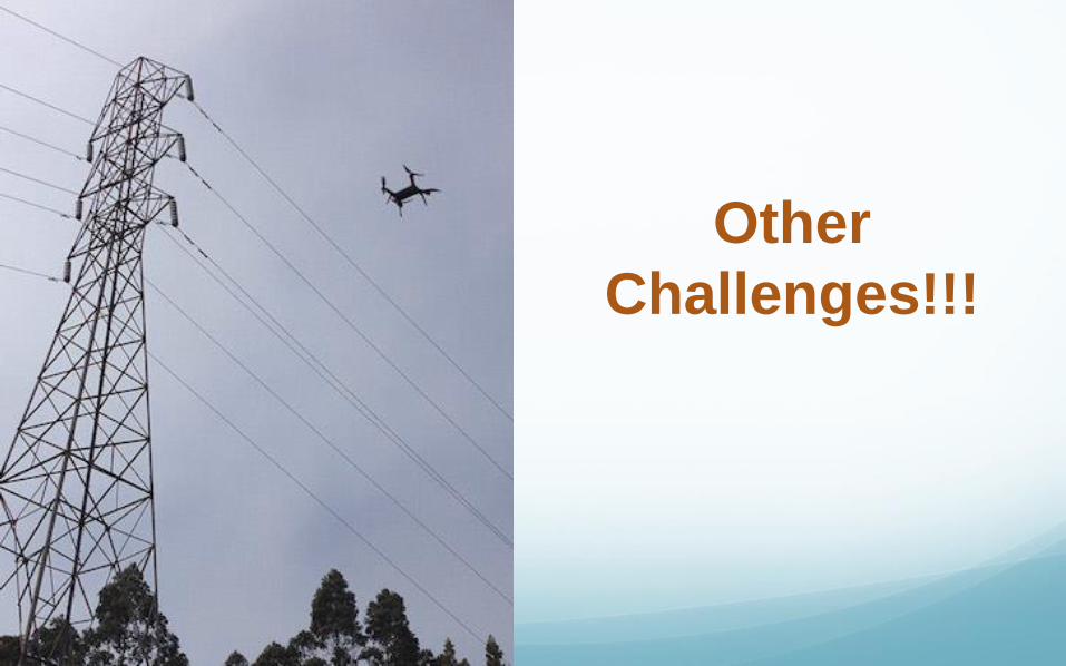
Other
Challenges!!!
Civil use of UAV is slackened by several factors:
Insurance issues
Lack of safe communication frequencies
Regulatory issues
THANK YOU
Overview
Example of UAV applications in humanitarian context
Potential humanitarian uses
Multirotor challenges
Solutions
Result and conclusion
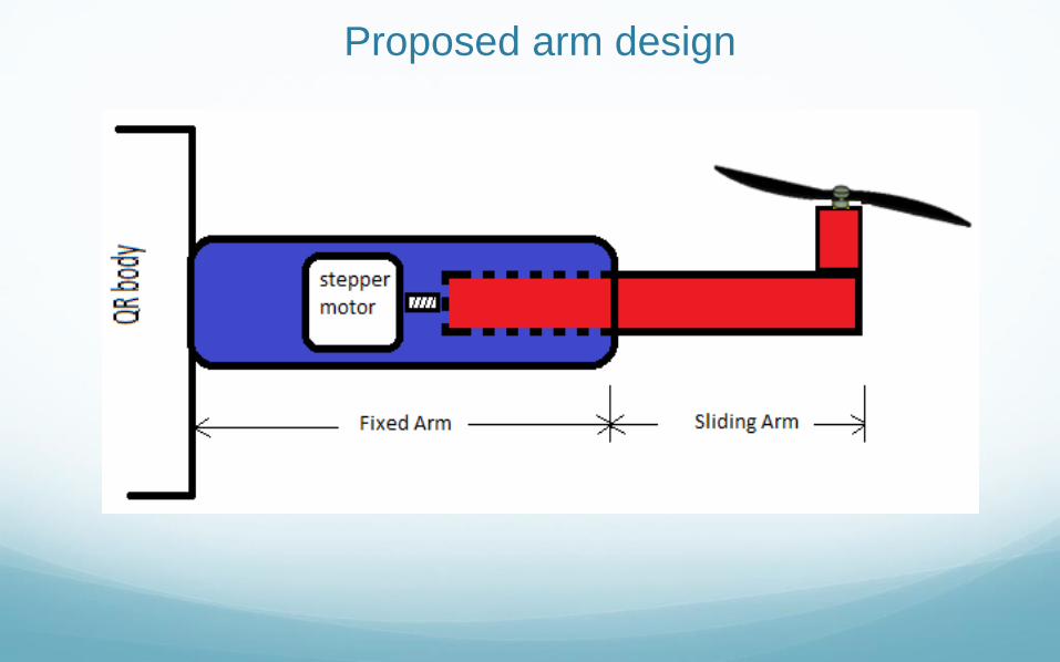
Proposed arm design
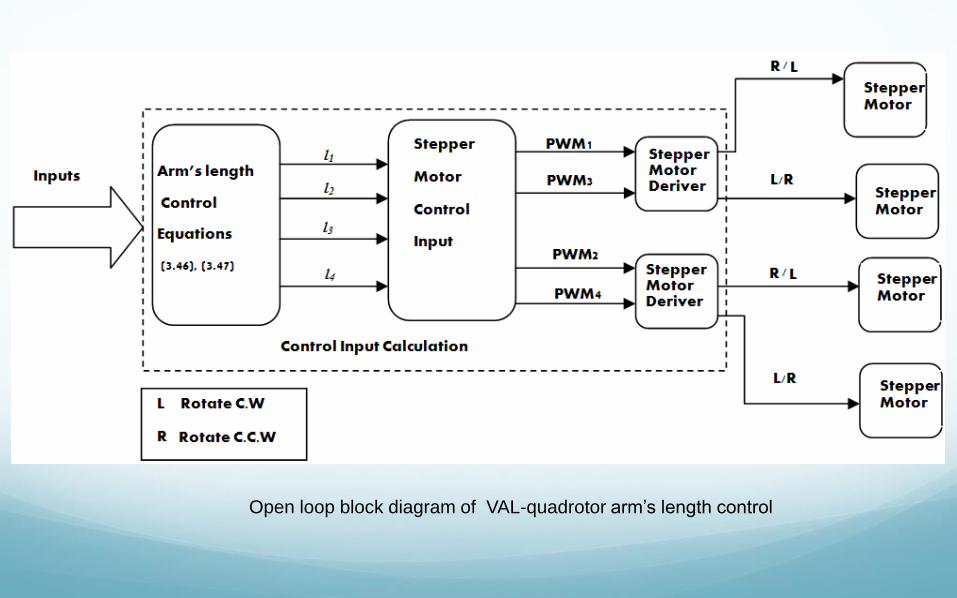
Open loop block diagram of VAL-quadrotor arm’s length control
Muddled between military and humanitarian activities
Advanced mapping and imaginary ability, taken at disaster scene become
an object of suspicion. Data could be abused if obtained by terrorist
groups.
Connection between humanitarian aid and political objective – example in
Congo. UN used UAV to survey Congo’s borders. They also use in
combat. The United Nations Organization Stabilization Mission in the
Democratic Republic of the Congo (MUNUSCO) wan to use those
UAVs for humanitarian aid. Many International NGOs have decried this
repurposing, claiming it muddies the waters between military and NGO
activities.
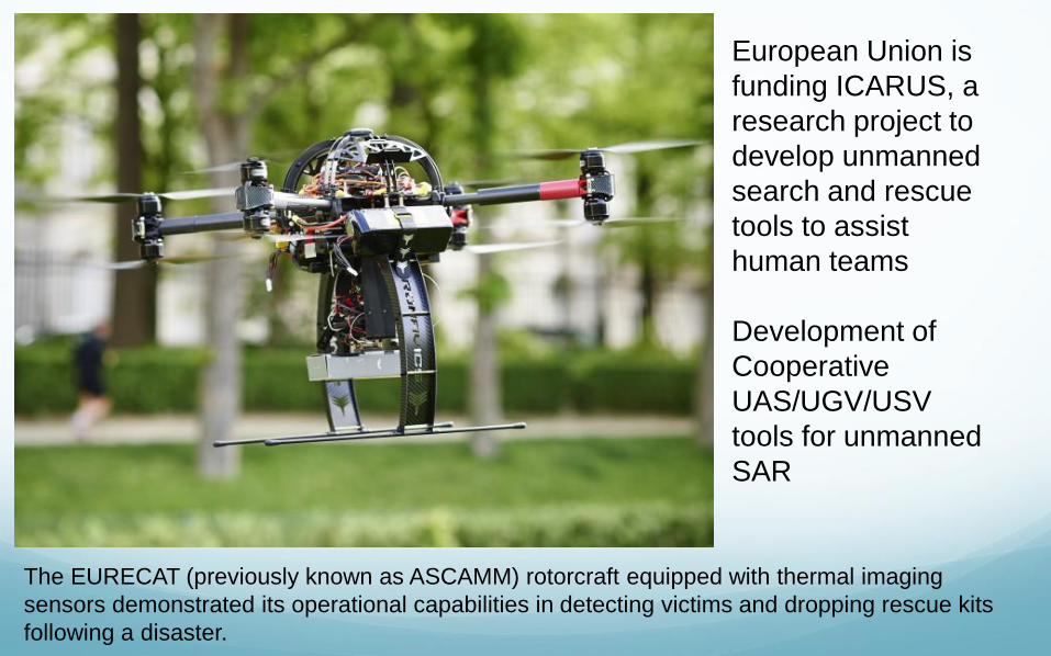
European Union is
funding ICARUS, a
research project to
develop unmanned
search and rescue
tools to assist
human teams
Development of
Cooperative
UAS/UGV/USV
tools for unmanned
SAR
The EURECAT (previously known as ASCAMM) rotorcraft equipped with thermal imaging
sensors demonstrated its operational capabilities in detecting victims and dropping rescue kits
following a disaster.