Embed Size (px)
Citation preview

The special case of fishery in MSP – cases from the Baltic
28. November 2013 1 WW F Jochen Lamp I l I Fishing for Space , Vilnius
Jochen Lamp WWF Deutschland
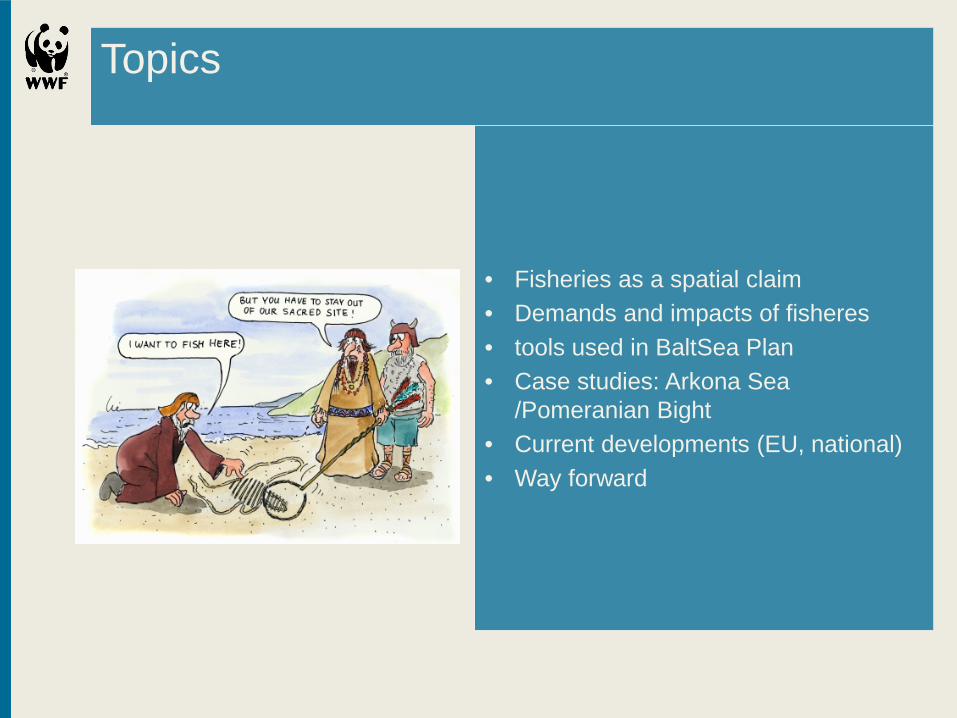
Topics
• Fisheries as a spatial claim • Demands and impacts of fisheres • tools used in BaltSea Plan • Case studies: Arkona Sea
/Pomeranian Bight • Current developments (EU, national) • Way forward

Is fishery spatially relevant?
• Spatial claim with the longest tradition – comparable with shipping • Occupies all sea areas • Strong impact on other sea users and functions • Variety of gear types and specific sea uses (fixed gear to temporal, surface to bottom)
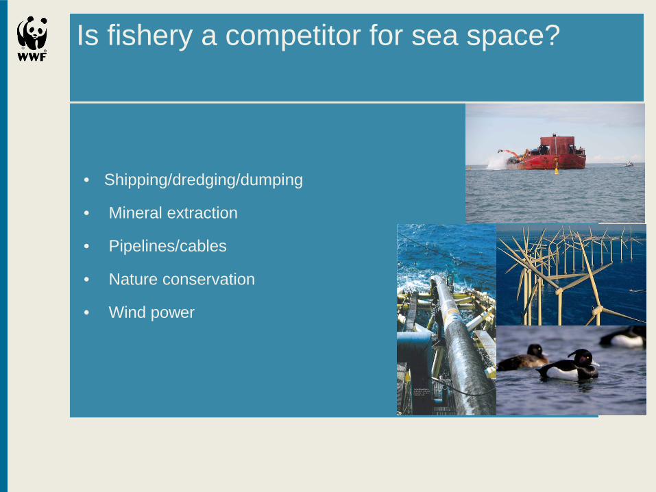
Is fishery a competitor for sea space?
• Shipping/dredging/dumping
• Mineral extraction
• Pipelines/cables
• Nature conservation
• Wind power

Fishermen and species compete for same ressource
Fish are also species in the ecosystem
Predators like seals, harbour porpoise
and cormorant
But also pike and cod

Physical alterations of habitats
by fishery: Bottom trawling vs. fragile structures or fish habitats:
Pipelines bring in hard sediment structures
Dredging may destroy spawning habitats
Changed turbidity
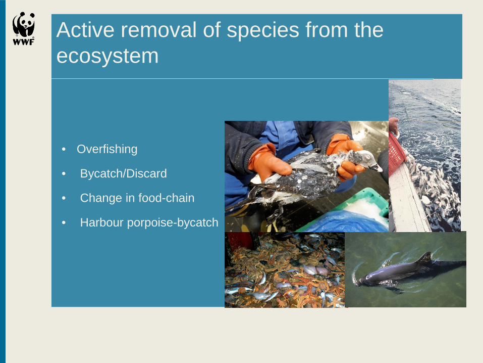
Active removal of species from the ecosystem
• Overfishing
• Bycatch/Discard
• Change in food-chain
• Harbour porpoise-bycatch
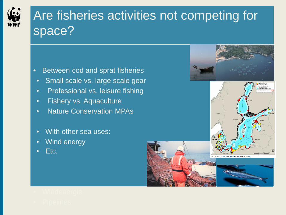
Are fisheries activities not competing for space? • Between cod and sprat fisheries • Small scale vs. large scale gear • Professional vs. leisure fishing • Fishery vs. Aquaculture • Nature Conservation MPAs
• With other sea uses: • Wind energy • Etc.
• Windenergie • Pipelines

But why is fisheries not part of MSP yet?
• The traditional paradigm “freedom of the sea”
• No spatial ownership
• EU Common Fisheries Policy deals with
the issue exclusively
• Reluctance to change in authorities • The belief: every area is a priority
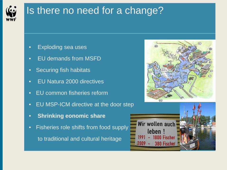
Is there no need for a change?
• Exploding sea uses
• EU demands from MSFD
• Securing fish habitats
• EU Natura 2000 directives
• EU common fisheries reform
• EU MSP-ICM directive at the door step
• Shrinking eonomic share
• Fisheries role shifts from food supply
to traditional and cultural heritage

Fishery in pilot areas Pomeranian Bight/Arkona Sea
Pomeranian Bight: • Inclusion in the phases
of the process based on the incomplete data
• New tools tested • and studies for
different aspects

Stocktaking
Where is the fish? Many data but far too coarse Landings but not suitable areas Who is fishing where ? Vms only for boats above 15 m No systematic AIS reporting 90% of coastal fishing vessels not covered Not the right answers – so we tried something new

Remote sensing with radar satellites
• Feasibility study – BaltSeaPlan report No 22
• Conclusion: feasable but fine-tuning needed
• Development of the technology so fast that improvements are sure • Meanwhile new tool at hand : • Satellite- AIS

Legal and planning options
BaltSeaPlan Report no. 23 • Preparing for implementation – look what is legally feasible • Current and historic examples in spatial fisheries management
• How to translate into MSP relevant categories • How to transpose into reality?
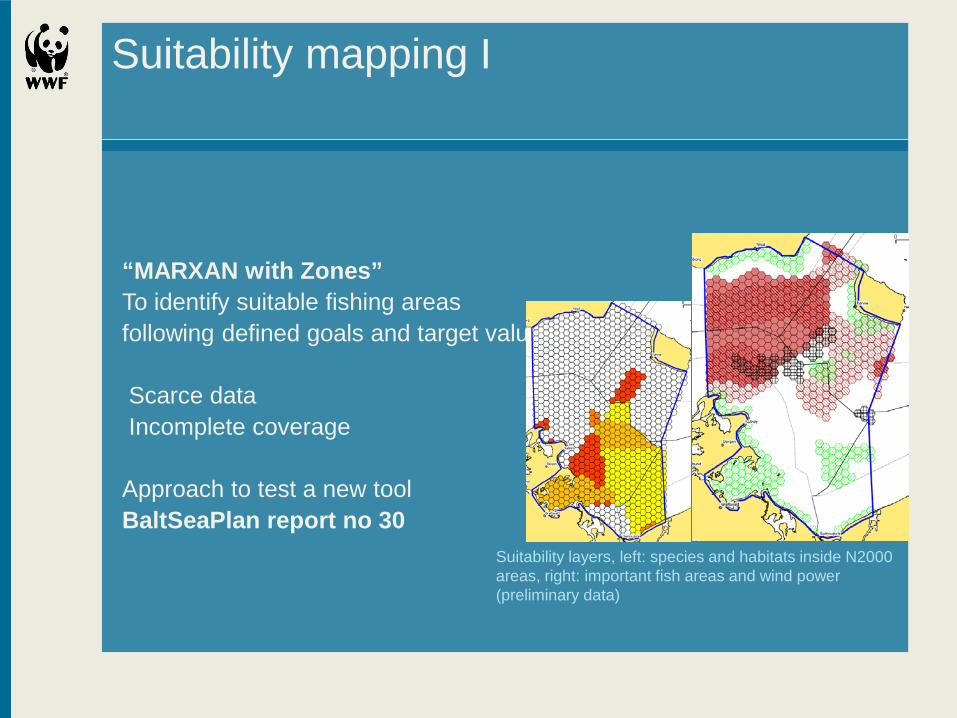
Suitability mapping I
“MARXAN with Zones” To identify suitable fishing areas following defined goals and target values Scarce data Incomplete coverage Approach to test a new tool BaltSeaPlan report no 30
Suitability layers, left: species and habitats inside N2000 areas, right: important fish areas and wind power (preliminary data)

Suitability mapping II
Documents consulted: IFAÖ study Fisheries report MO Szczecin Documents consulted: IFAÖ study
Fisheries report MO Szczecin Phytobenthos areas/ spawning areas

Fisheries in pilot areas II
• Latvia
• Estonia (Saarema, Pärnu Bucht)
• Poland Germany (Pommeranian Bight)
• Finnland/Schweden (PlanBothnia)
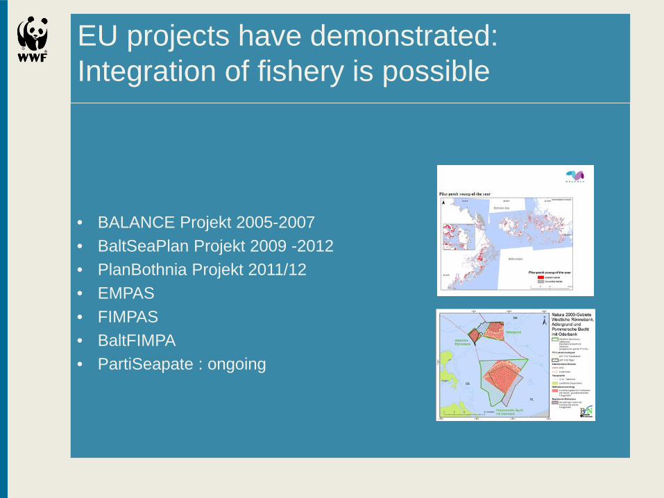
EU projects have demonstrated: Integration of fishery is possible
• BALANCE Projekt 2005-2007 • BaltSeaPlan Projekt 2009 -2012 • PlanBothnia Projekt 2011/12 • EMPAS • FIMPAS • BaltFIMPA • PartiSeapate : ongoing

Latest developments : EU
EU Common fisheries policy reform gives MSP a role Parliament vote supportive EU Directive on MSP and ICM far advanced Parliament vote in 3 weeks , fisheries integral part

Latest developments :Example Germany Mecklenburg-Vorpommern
Draft MSP Plan in ministerial Consultations Essential fish habitats concept included

So – is fisheries a special case?
integration is needed! • For a balanced holistic planning of sea Uses and functions
• Fish species are important elements of marine ecosystems, information about them are necessary prerequisites for planning
• To secure important fishing grounds the essential areas must be known.

Integration is possible and feasable!
• Identical planning processes , Zoning concepts and regulations Have to be adapted from fisheries management to spatial planning requirements • Administrative procedures have to be harmonized between government levels
• And with and within EU (CFP)

What has to be done?
• Integration of fisheries aspcts into the MSP planning system (EU and national)
• Elaboration of spatial planning data
• Recognition that fish are integral part of the marine ecosystems and that EU nature conservation regulations (Natura 2000 and MSFD) also apply to commercially exploited fish species

Thank You!
More information:
www.wwf.de www.baltseaplan.eu
Important input to this presentation was produced within the project BaltSeaPlan