Embed Size (px)
Citation preview
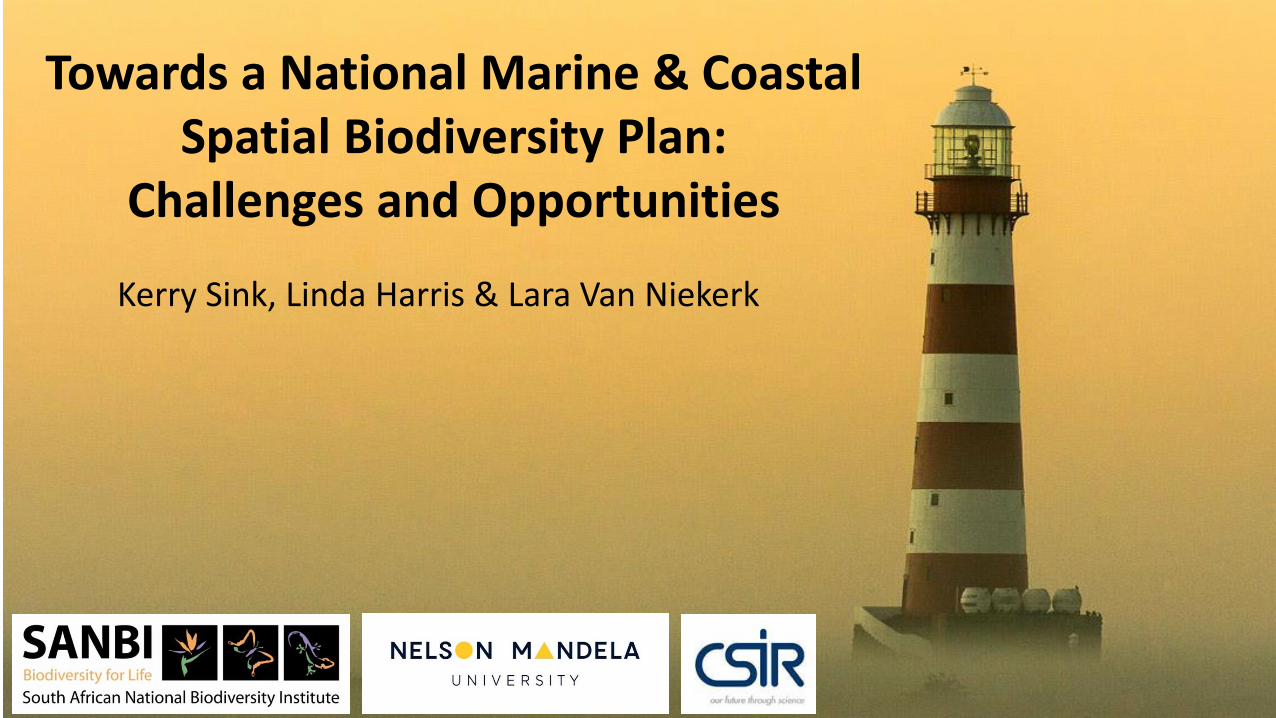
Towards a National Marine & Coastal Spatial Biodiversity Plan:
Challenges and Opportunities
Kerry Sink, Linda Harris & Lara Van Niekerk
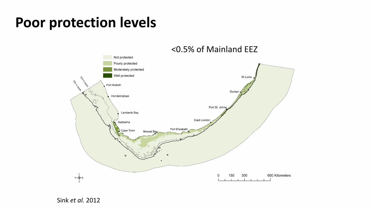
Poor protection levels
<0.5% of Mainland EEZ
Sink et al. 2012
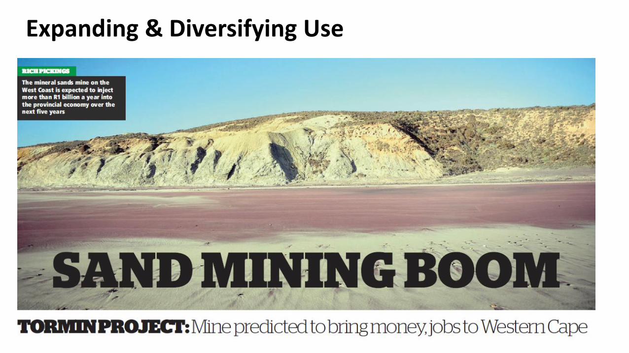
Expanding & Diversifying Use
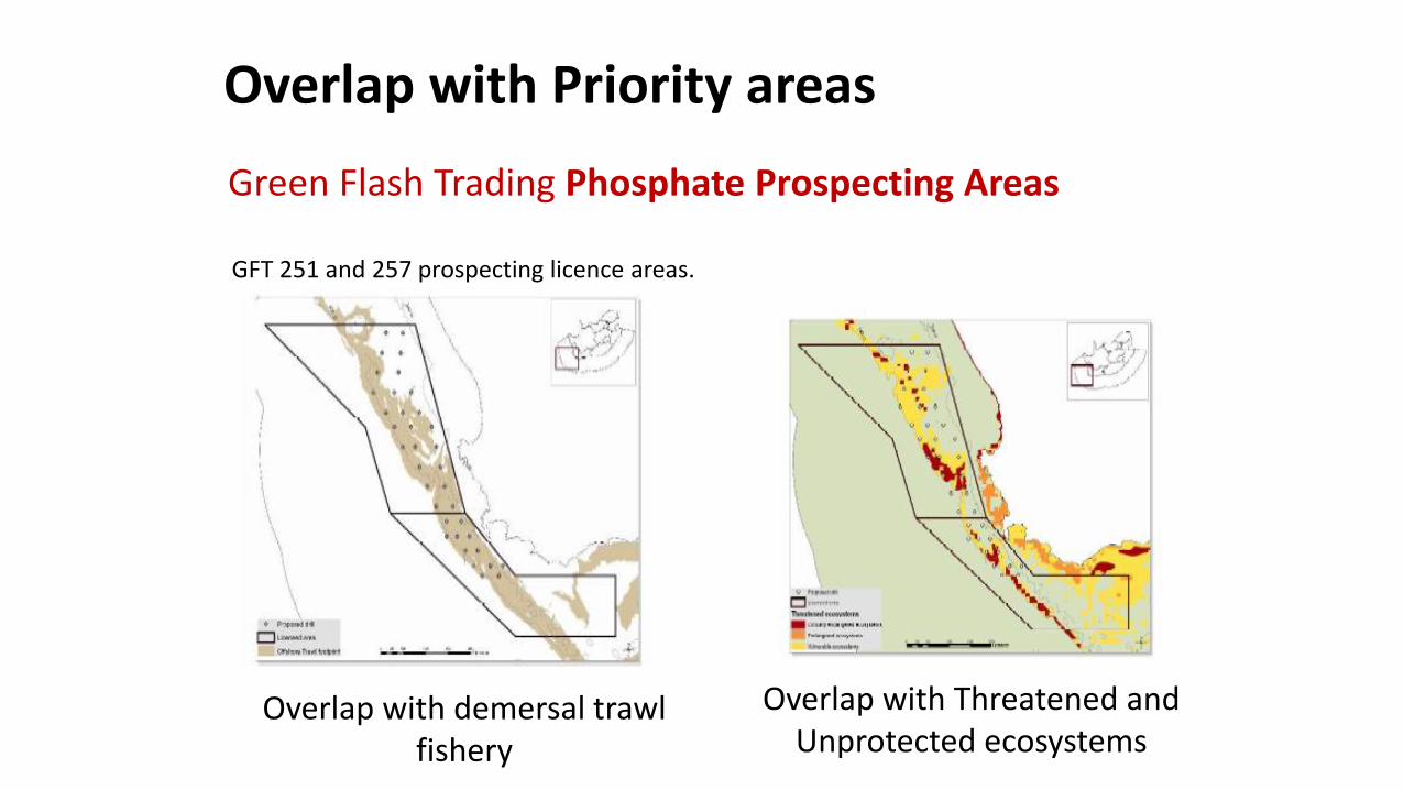
Overlap with Priority areas
Green Flash Trading Phosphate Prospecting Areas
Overlap with demersal trawl fishery
Overlap with Threatened and Unprotected ecosystems
GFT 251 and 257 prospecting licence areas.
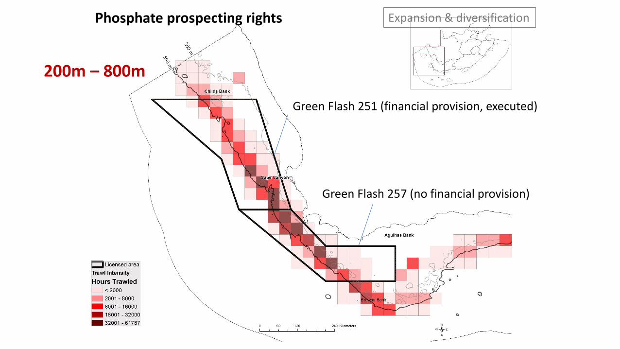
Phosphate prospecting rights
Green Flash 251 (financial provision, executed)
Green Flash 257 (no financial provision)
200m – 800m
Expansion & diversification
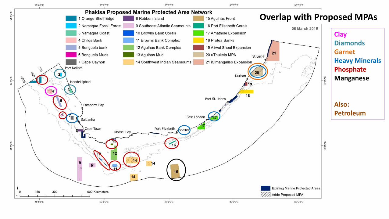
Overlap with Proposed MPAs
Clay DiamondsGarnetHeavy MineralsPhosphateManganese
Also:Petroleum
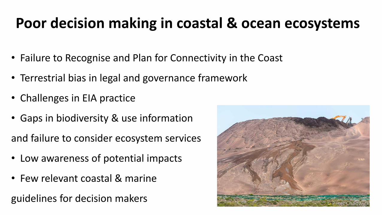
Poor decision making in coastal & ocean ecosystems
• Failure to Recognise and Plan for Connectivity in the Coast
• Terrestrial bias in legal and governance framework
• Challenges in EIA practice
• Gaps in biodiversity & use information
and failure to consider ecosystem services
• Low awareness of potential impacts
• Few relevant coastal & marine
guidelines for decision makers
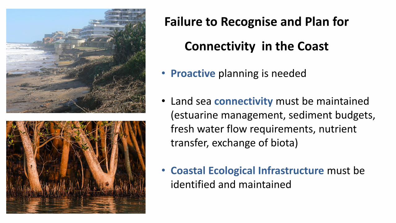
Failure to Recognise and Plan for
Connectivity in the Coast
• Proactive planning is needed
• Land sea connectivity must be maintained (estuarine management, sediment budgets, fresh water flow requirements, nutrient transfer, exchange of biota)
• Coastal Ecological Infrastructure must be identified and maintained
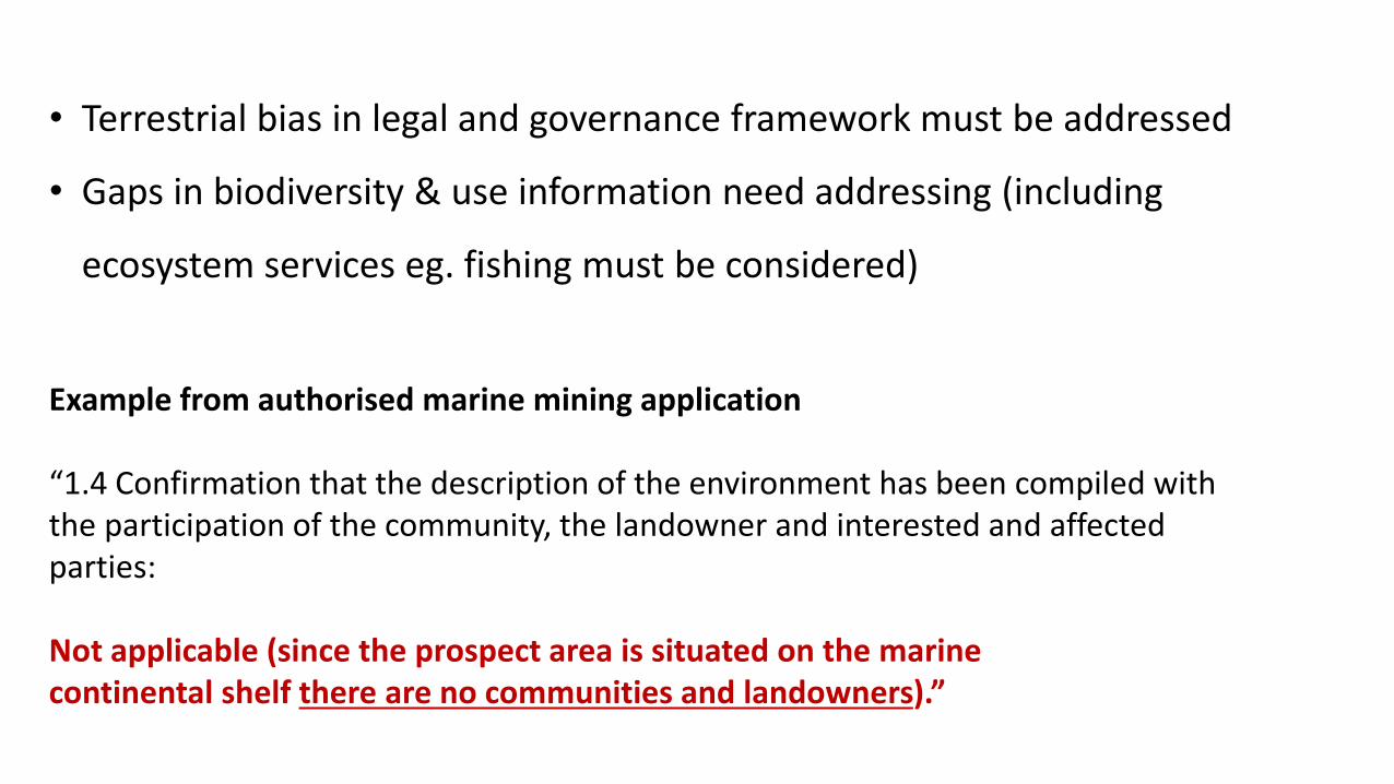
• Terrestrial bias in legal and governance framework must be addressed
• Gaps in biodiversity & use information need addressing (including
ecosystem services eg. fishing must be considered)
Example from authorised marine mining application
“1.4 Confirmation that the description of the environment has been compiled with the participation of the community, the landowner and interested and affected parties:
Not applicable (since the prospect area is situated on the marinecontinental shelf there are no communities and landowners).”
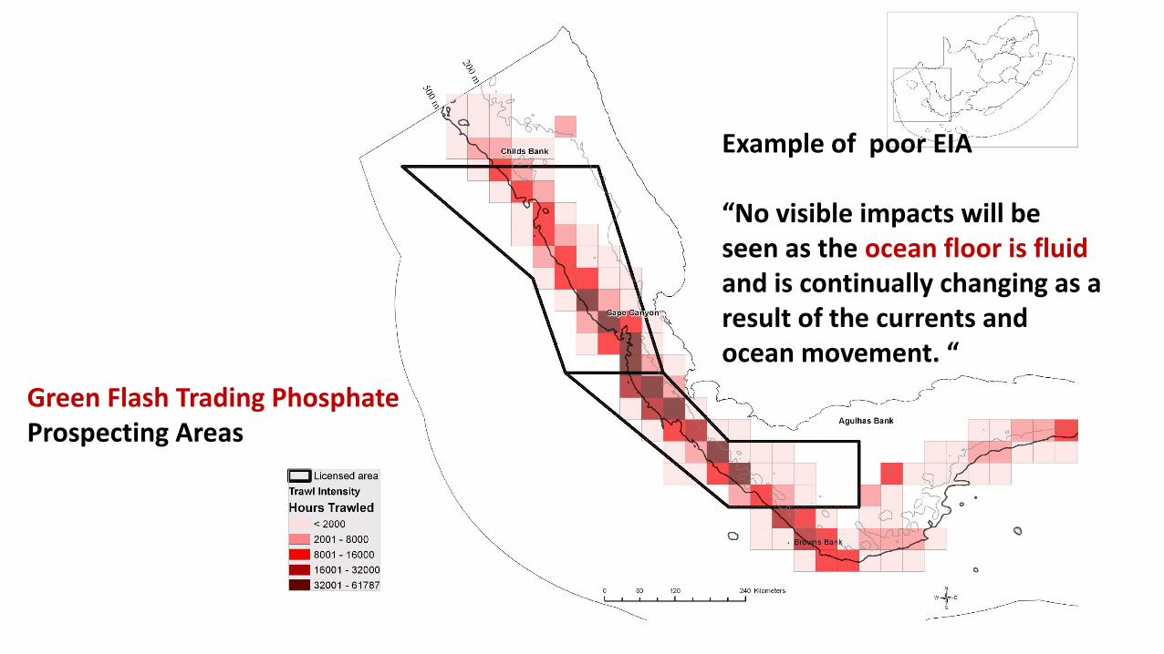
Example of poor EIA
“No visible impacts will be seen as the ocean floor is fluid and is continually changing as a result of the currents and ocean movement. “
Green Flash Trading Phosphate Prospecting Areas
“SECTION 1.3 Map showing the spatial locality of all environmental, cultural/heritage and current land use features identified on site:
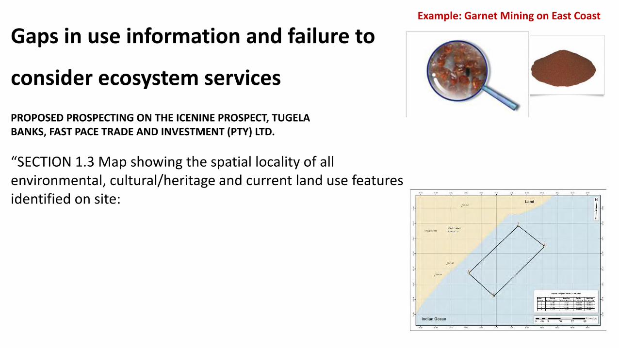
Gaps in use information and failure to
consider ecosystem services
Example: Garnet Mining on East Coast
PROPOSED PROSPECTING ON THE ICENINE PROSPECT, TUGELA BANKS, FAST PACE TRADE AND INVESTMENT (PTY) LTD.
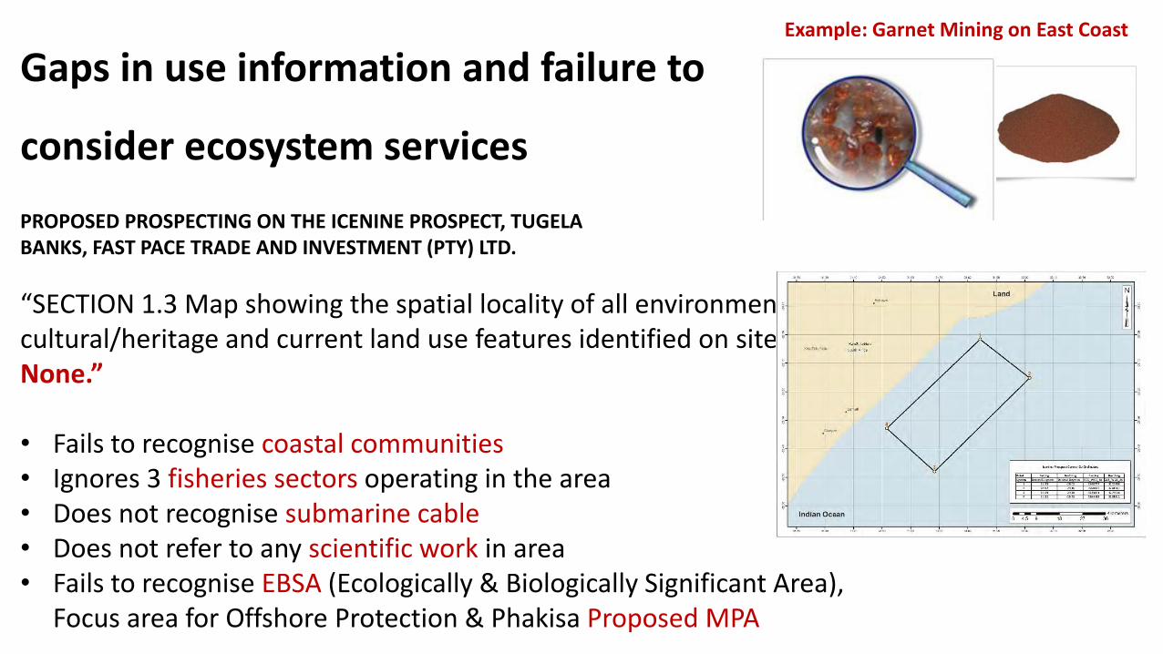
“SECTION 1.3 Map showing the spatial locality of all environmental, cultural/heritage and current land use features identified on site: None.”
• Fails to recognise coastal communities• Ignores 3 fisheries sectors operating in the area• Does not recognise submarine cable• Does not refer to any scientific work in area• Fails to recognise EBSA (Ecologically & Biologically Significant Area),
Focus area for Offshore Protection & Phakisa Proposed MPA
Gaps in use information and failure to
consider ecosystem services
Example: Garnet Mining on East Coast
PROPOSED PROSPECTING ON THE ICENINE PROSPECT, TUGELA BANKS, FAST PACE TRADE AND INVESTMENT (PTY) LTD.
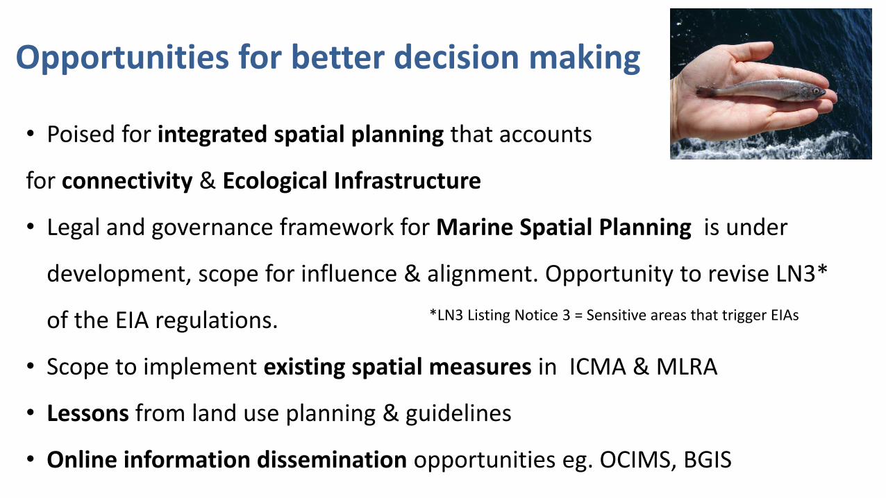
Opportunities for better decision making
• Poised for integrated spatial planning that accounts
for connectivity & Ecological Infrastructure
• Legal and governance framework for Marine Spatial Planning is under
development, scope for influence & alignment. Opportunity to revise LN3*
of the EIA regulations.
• Scope to implement existing spatial measures in ICMA & MLRA
• Lessons from land use planning & guidelines
• Online information dissemination opportunities eg. OCIMS, BGIS
*LN3 Listing Notice 3 = Sensitive areas that trigger EIAs
What do we need to do ???• Critical Biodiversity Area (CBA) maps for coastal (cross realm including estuaries)
and marine ecosystems that accounts for connectivity, food and job security and coastal ecological infrastructure
• Reminder: What is a CBA map? (Identifies biodiversity priority areas)
A Critical Biodiversity Area (CBA) map is a spatial plan for ecological sustainability to inform coastal and marine-use planning, environmental authorisations, ecosystem based fisheries management, mining authorisations, water use licensing and other decisions that impact on the coastal and marine environment
• CBA: management objective is to keep in good condition
• ESA- keep in at least fair condition (avoid further
deterioration)
• Clear Guidance for Practitioners
AND Decision makers……
• What else?

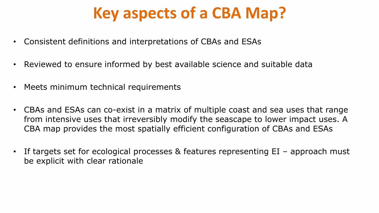
Key aspects of a CBA Map?
• Consistent definitions and interpretations of CBAs and ESAs
• Reviewed to ensure informed by best available science and suitable data
• Meets minimum technical requirements
• CBAs and ESAs can co-exist in a matrix of multiple coast and sea uses that range from intensive uses that irreversibly modify the seascape to lower impact uses. A CBA map provides the most spatially efficient configuration of CBAs and ESAs
• If targets set for ecological processes & features representing EI – approach must be explicit with clear rationale
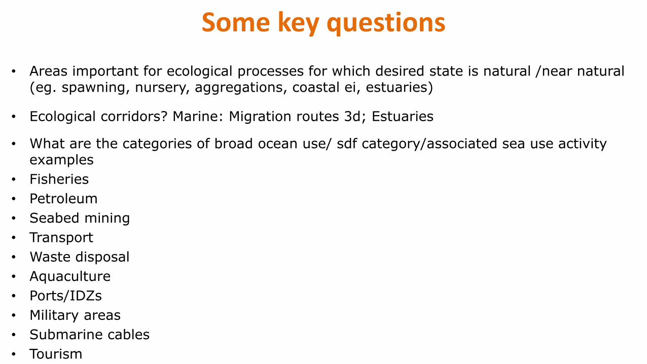
Some key questions
• Areas important for ecological processes for which desired state is natural /near natural (eg. spawning, nursery, aggregations, coastal ei, estuaries)
• Ecological corridors? Marine: Migration routes 3d; Estuaries
• What are the categories of broad ocean use/ sdf category/associated sea use activity examples
• Fisheries
• Petroleum
• Seabed mining
• Transport
• Waste disposal
• Aquaculture
• Ports/IDZs
• Military areas
• Submarine cables
• Tourism
• Protection
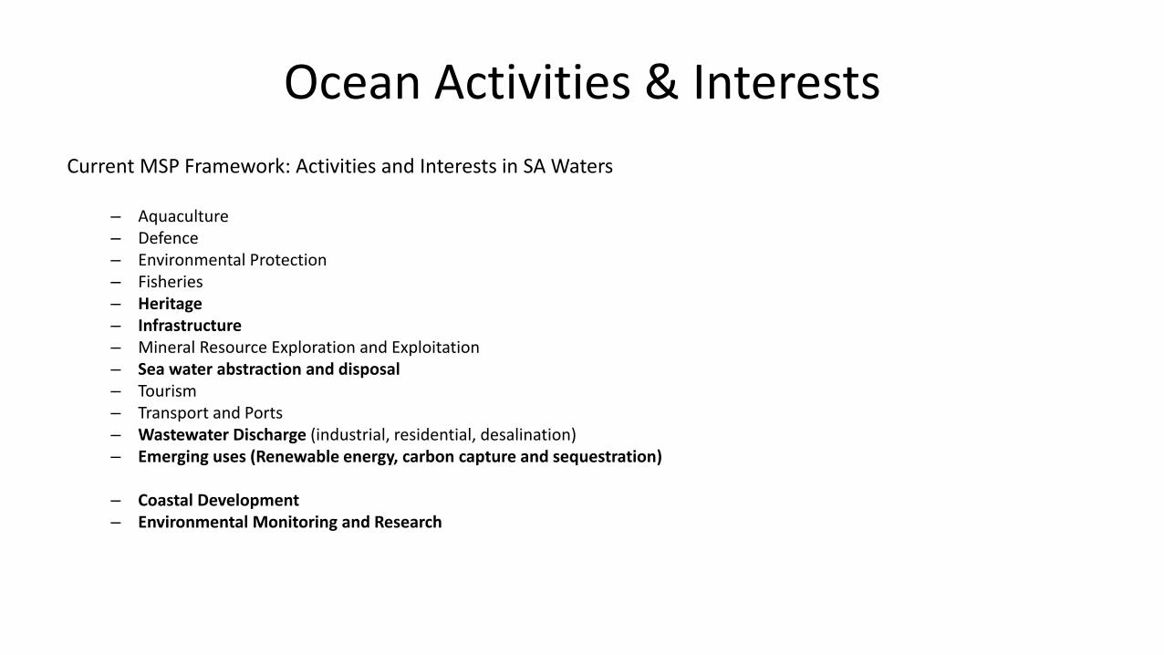
Ocean Activities & Interests
Current MSP Framework: Activities and Interests in SA Waters
– Aquaculture– Defence– Environmental Protection– Fisheries– Heritage– Infrastructure– Mineral Resource Exploration and Exploitation– Sea water abstraction and disposal– Tourism– Transport and Ports– Wastewater Discharge (industrial, residential, desalination)– Emerging uses (Renewable energy, carbon capture and sequestration)
– Coastal Development– Environmental Monitoring and Research

CBAs and ESAs
• CBA is an area that must remain in good ecosystem condition to meet biodiversity targets (good ecosystem condition)
• CBA: management objective is to keep in good condition
• ESA- keep in at least fair condition (avoid further deterioration)
Map Categoy Seascape-level purpose Broad management objective
Protected areas
CBA
ESA
ONA
NNR (Areas with no natural habitat remaining
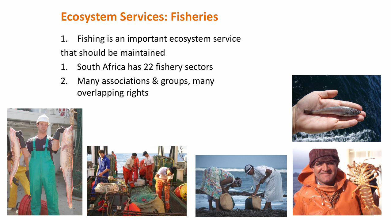
Ecosystem Services: Fisheries
1. Fishing is an important ecosystem service
that should be maintained
1. South Africa has 22 fishery sectors
2. Many associations & groups, many overlapping rights
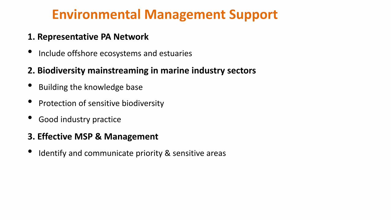
1. Representative PA Network
• Include offshore ecosystems and estuaries
2. Biodiversity mainstreaming in marine industry sectors
• Building the knowledge base
• Protection of sensitive biodiversity
• Good industry practice
3. Effective MSP & Management
• Identify and communicate priority & sensitive areas
Environmental Management Support
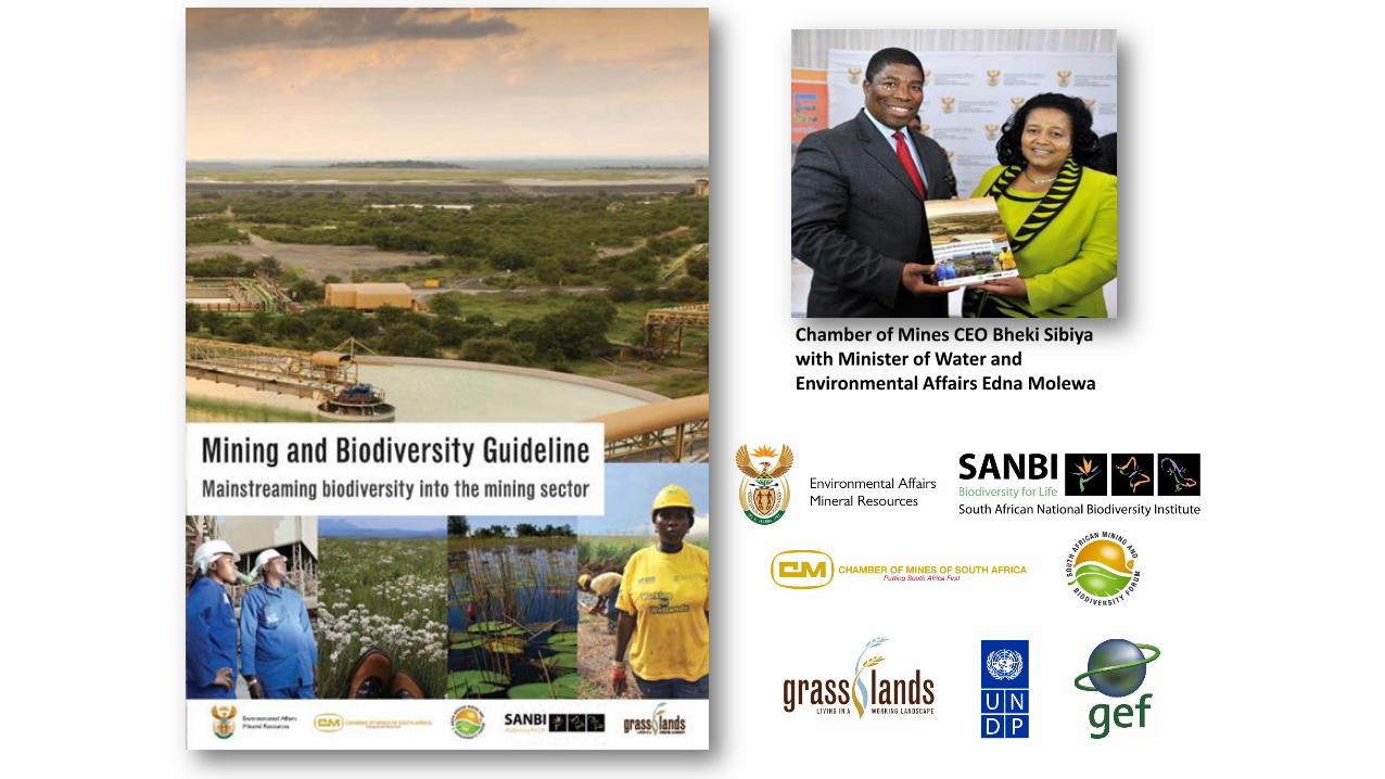
Chamber of Mines CEO Bheki Sibiyawith Minister of Water and Environmental Affairs Edna Molewa
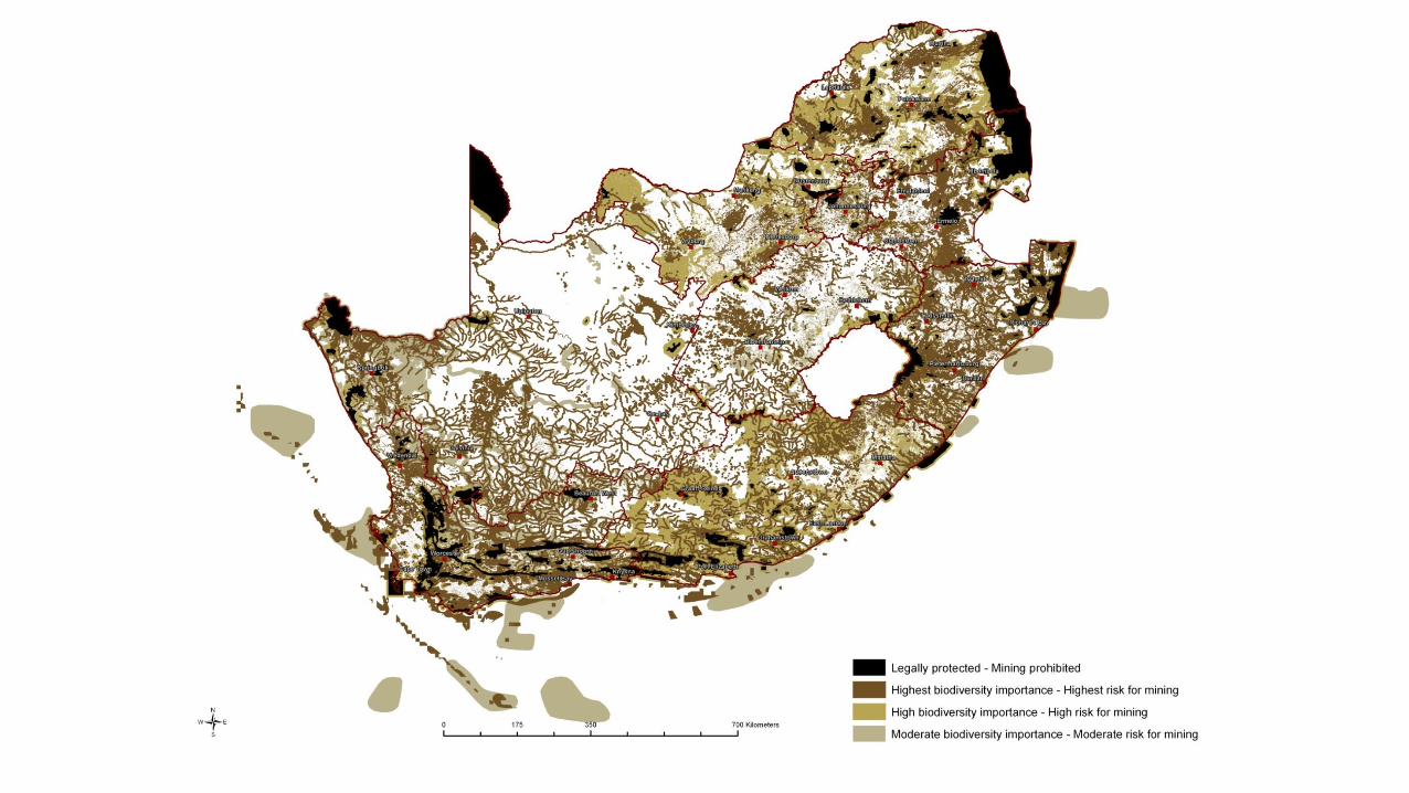

Category Biodiversity priority areas Implications for mining
Legally protected-mining prohibited
Protected areas No-go areas (Sec 49 MRDA)
Mining is legally prohibited
Highest
biodiversity
importance-
Highest Risk for
Mining
CR and EN ecosystems Critical Biodiversity Areas River and wetland Freshwater Ecosystem Priority
Areas (FEPAs) Strategic fisheries resource areas? Ramsar Sites
The significance of the biodiversity
features & the associated ecosystem
services, very likely to prove to be
fatal flaws for mining
High biodiversity
importance-
High risk for
mining
Protected area buffers High water yield areas Coastal Protection Zone Estuarine functional zone
Mining options are limited in these areas
of high biodiversity importance, and
fatal flaws for mining projects are
possible.
Moderate
biodiversity
importance –
Moderate risk to
mining
Ecological support areas Vulnerable ecosystems Focus areas for protected area expansion (land-
based and offshore protection)
These areas of moderate biodiversity
value may constrain mining options, but
are unlikely to represent a fatal flaw for
mining.
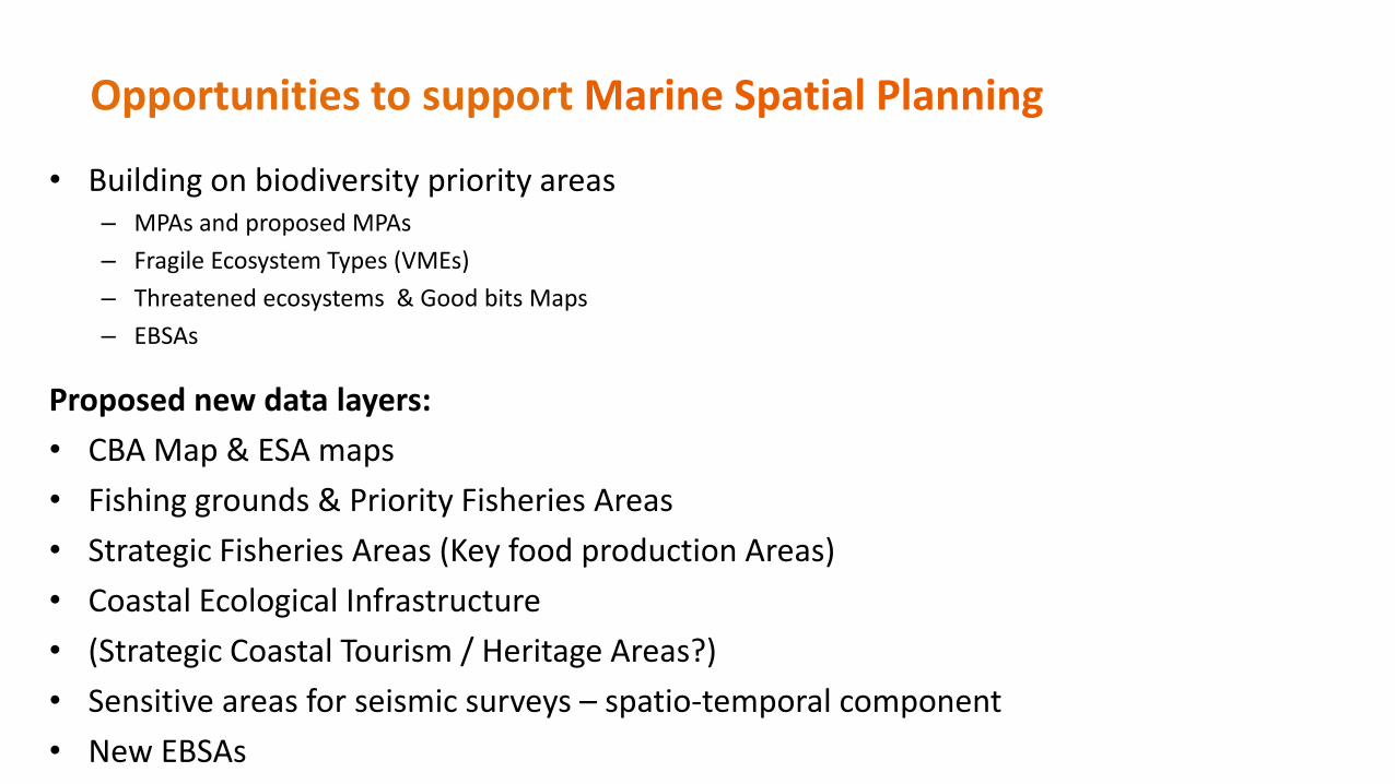
• Building on biodiversity priority areas– MPAs and proposed MPAs
– Fragile Ecosystem Types (VMEs)
– Threatened ecosystems & Good bits Maps
– EBSAs
Proposed new data layers:
• CBA Map & ESA maps
• Fishing grounds & Priority Fisheries Areas
• Strategic Fisheries Areas (Key food production Areas)
• Coastal Ecological Infrastructure
• (Strategic Coastal Tourism / Heritage Areas?)
• Sensitive areas for seismic surveys – spatio-temporal component
• New EBSAs
Opportunities to support Marine Spatial Planning
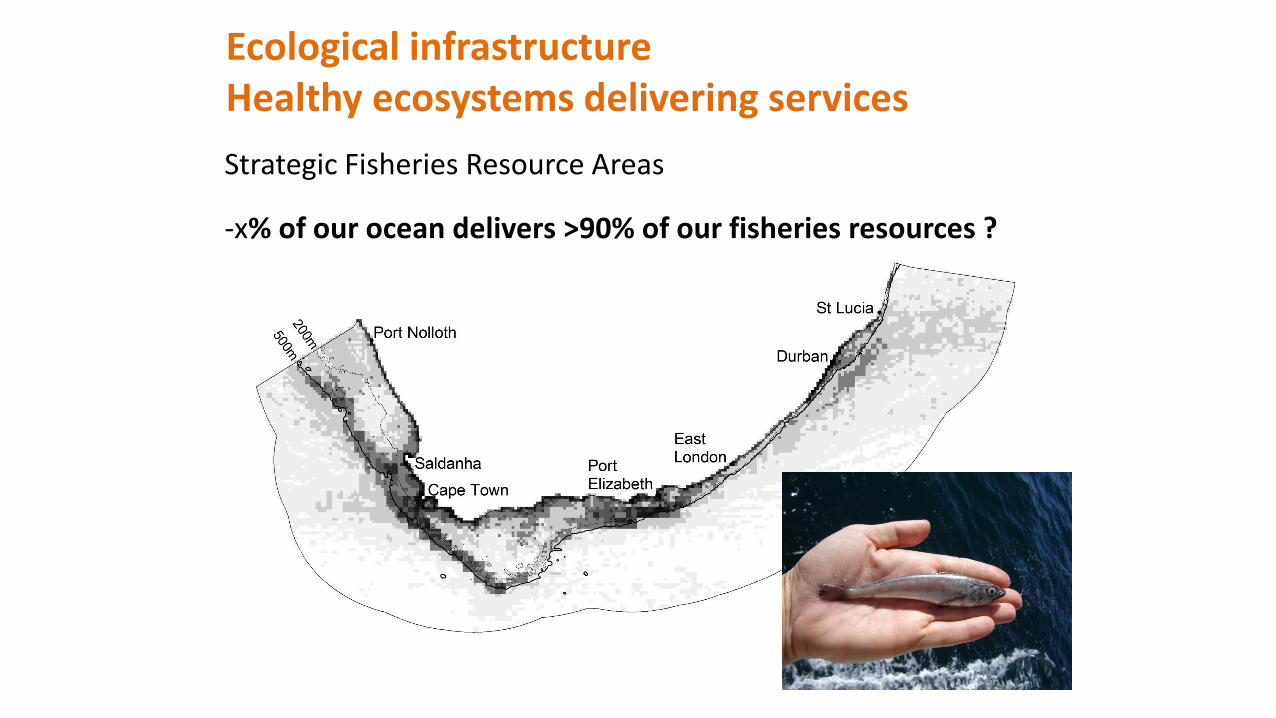
Ecological infrastructureHealthy ecosystems delivering services
Strategic Fisheries Resource Areas
-x% of our ocean delivers >90% of our fisheries resources ?
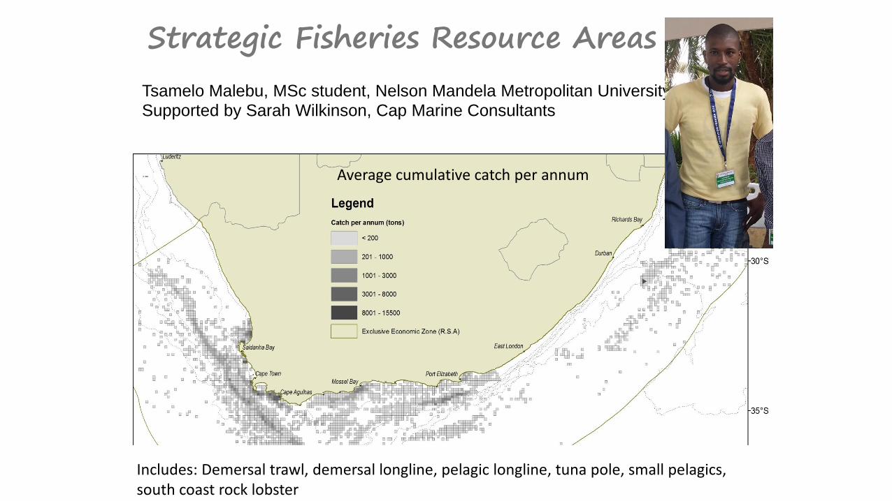
Strategic Fisheries Resource Areas
Tsamelo Malebu, MSc student, Nelson Mandela Metropolitan University
Supported by Sarah Wilkinson, Cap Marine Consultants
Average cumulative catch per annum
Includes: Demersal trawl, demersal longline, pelagic longline, tuna pole, small pelagics, south coast rock lobster
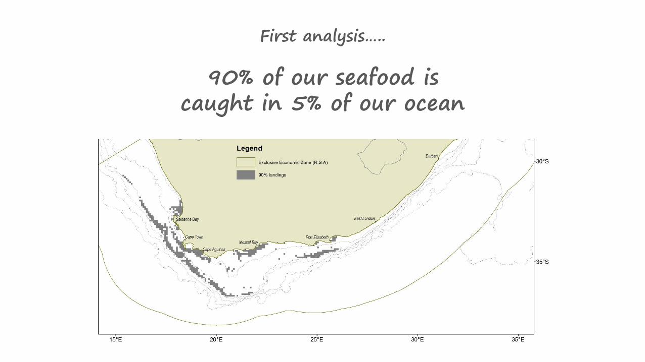
First analysis…..
90% of our seafood is caught in 5% of our ocean

Challenges Progress & Opportunities
Limited offshore information base, technological & capacity challenges
Increasing offshore research funding, Industry Co-operationInternational co-operation
Inadequate protection of offshore ecosystems
Development of a Representative Marine Protected Area Network
Weak EMPs / EIAs & lack of scientific input
New Decision Support & Mainstreaming Tools
Overlap with Biodiversity Priority Areas
Marine Spatial Planning