Embed Size (px)
Citation preview
Turning Data Into Information with Geo-
OntologiesJustin Lewis - @jmapping - TerraFrame

A bit about us


Some Basic Requirements
Remote data collection (no internet)Data syncing across systemsData manipulation & analysisDynamic data mapping & chartingReport generation
Complex domain modelsMapping data with NO geometriesExpansive configuration...
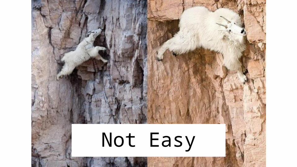
Not Easy
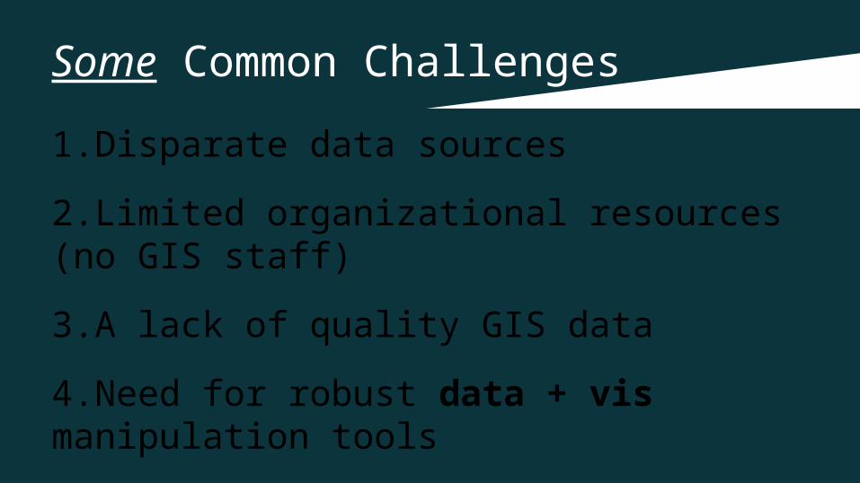
Some Common Challenges
1.Disparate data sources
2.Limited organizational resources (no GIS staff)
3.A lack of quality GIS data
4.Need for robust data + vis manipulation tools
DATA
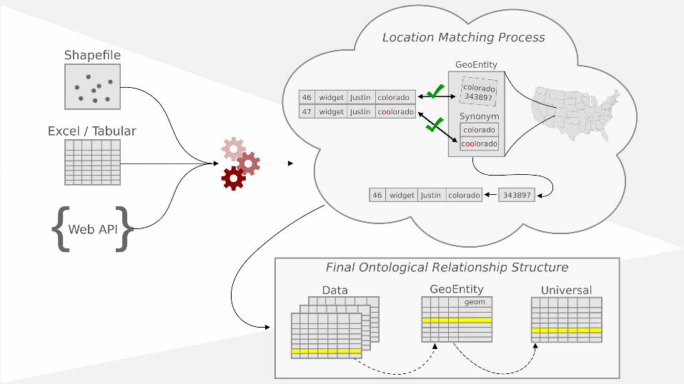
Turn messy & incomplete data into useful data

How do we meet these needs?
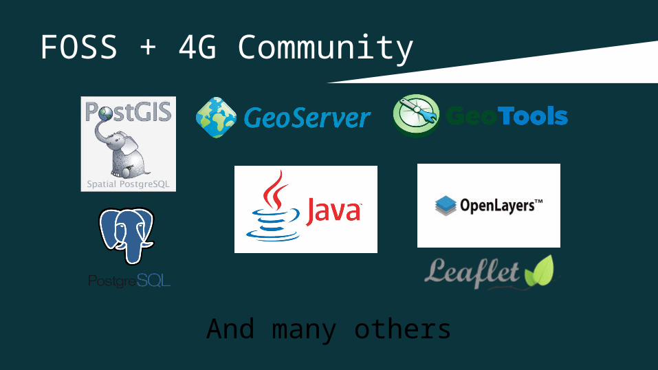
FOSS + 4G Community
And many others
A Different Approach
A method for modeling data as ontologies that can help turn messy
and/or incomplete data into useful data.


Ontology Crash Course
Ontologies | User Data
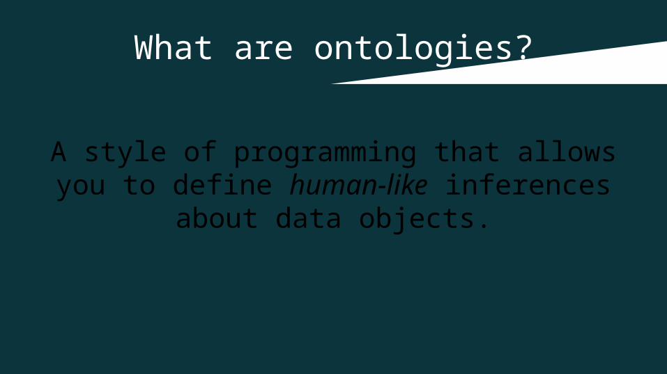
What are ontologies?
A style of programming that allows you to define human-like inferences about
data objects.
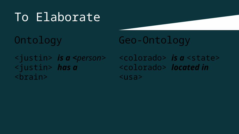
To Elaborate
Ontology
<justin> is a <person><justin> has a <brain>
Geo-Ontology
<colorado> is a <state><colorado> located in <usa>
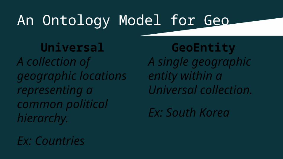
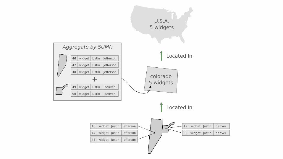
An Ontology Model for Geo
Universal A collection of geographic locations representing a common political hierarchy.
Ex: Countries
GeoEntity A single geographic entity within a Universal collection.
Ex: South Korea
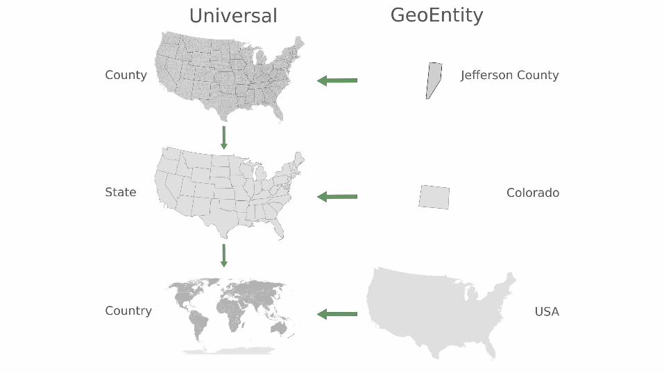
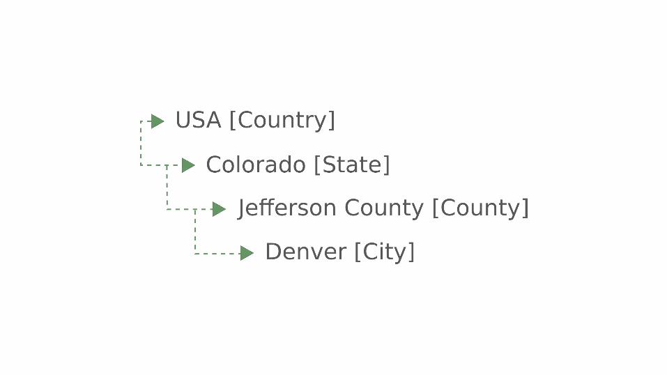
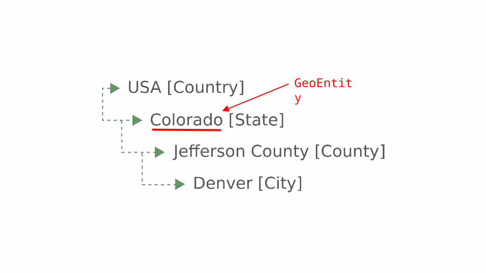
GeoEntity
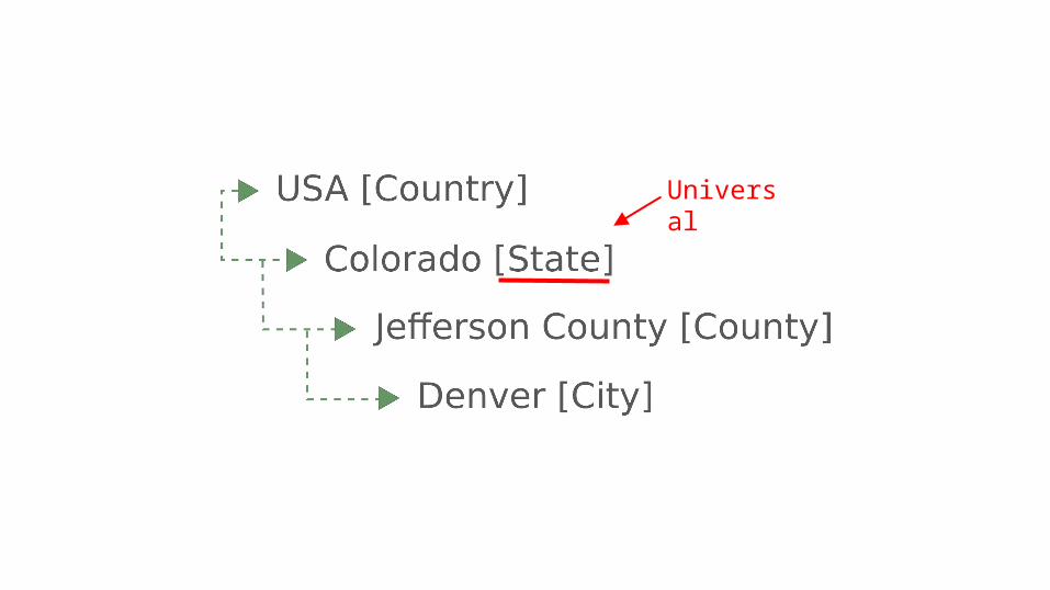
Universal
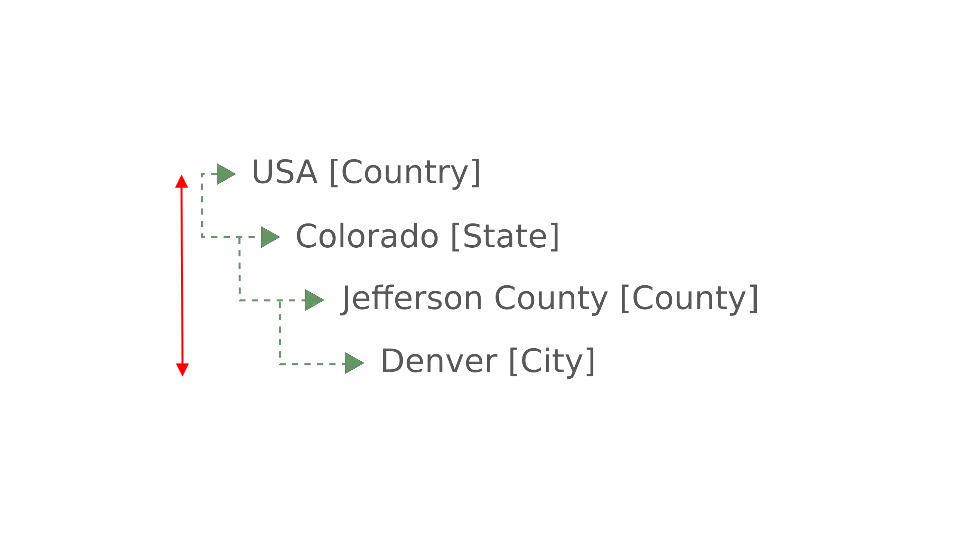

Purpose of Universals / GeoEntities
Provide a central geographic context for the system
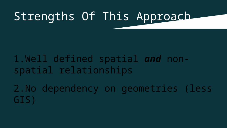
Strengths Of This Approach
1.Well defined spatial and non-spatial relationships
2.No dependency on geometries (less GIS)
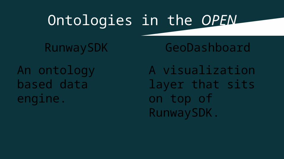
Ontologies in the OPEN
RunwaySDK
An ontology based data engine.
GeoDashboard
A visualization layer that sits on top of RunwaySDK.

What about user data?

User Data Is Different
User data can maintain relationships to GeoEntities and Universals giving user
data spatial context.
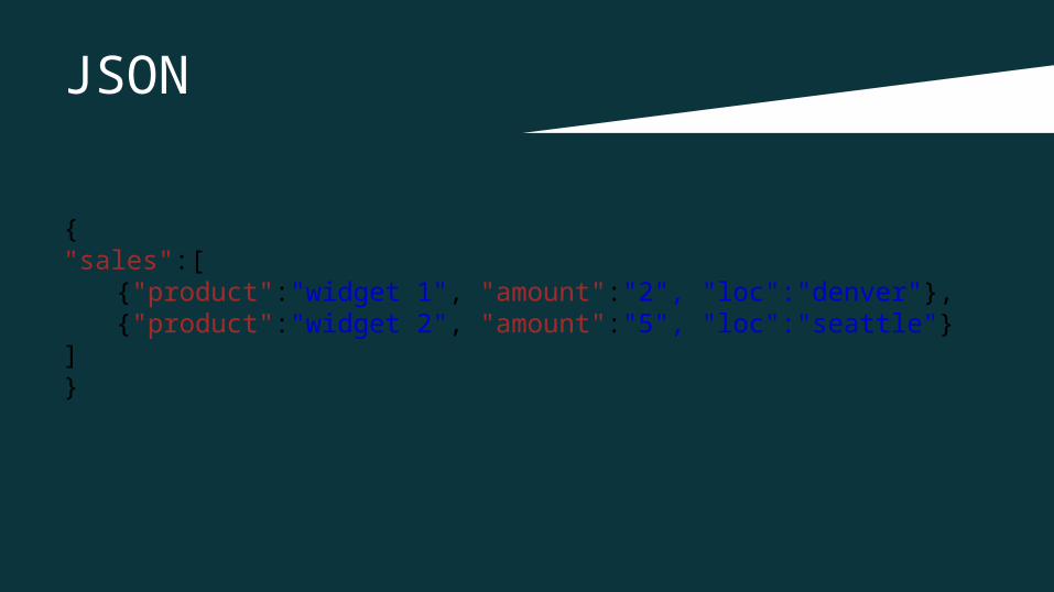
JSON
{"sales":[
{"product":"widget 1", "amount":"2", "loc":"denver"},
{"product":"widget 2", "amount":"5", "loc":"seattle"}]}
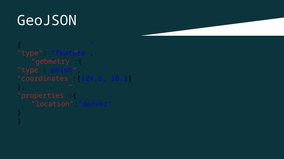
GeoJSON
{"type": “feature”, “geometry”:{“type”:”point”,“coordinates”:[124.6, 10.1]},“properties”:{
"location":"denver"}}
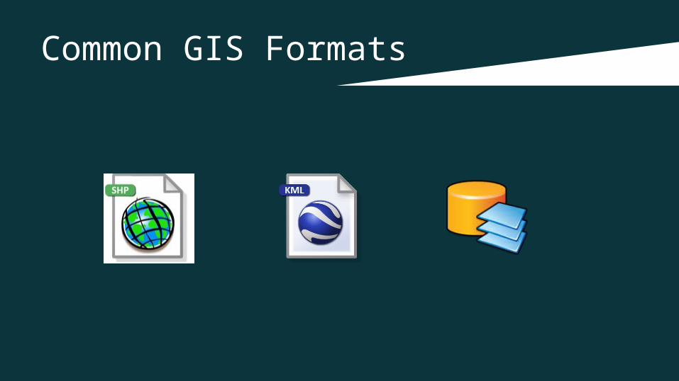
Common GIS Formats
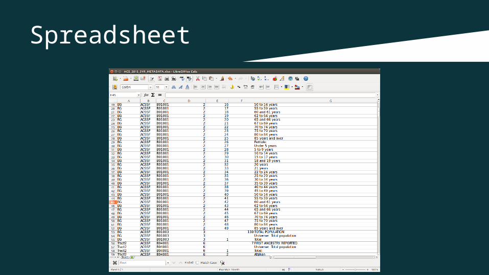
Spreadsheet
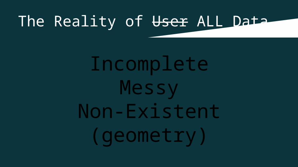
The Reality of User ALL Data
IncompleteMessy
Non-Existent (geometry)
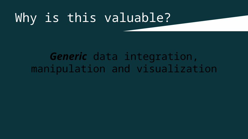
Why is this valuable?
Generic data integration, manipulation and visualization

What do I mean by “generic”?
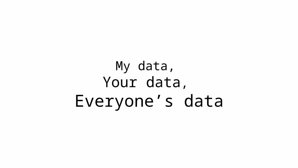
My data, Your data,
Everyone’s data

No Problem
No Geom?

How does this work in a web application?


What about geometries?
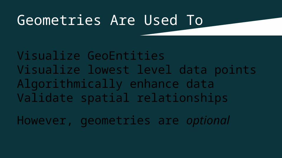
Geometries Are Used To
Visualize GeoEntitiesVisualize lowest level data pointsAlgorithmically enhance dataValidate spatial relationships
However, geometries are optional
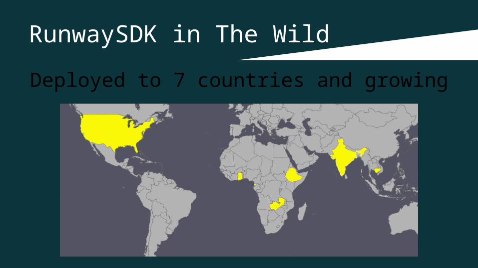
RunwaySDK in The Wild
Deployed to 7 countries and growing

Demo

Thank You!
@jmapping
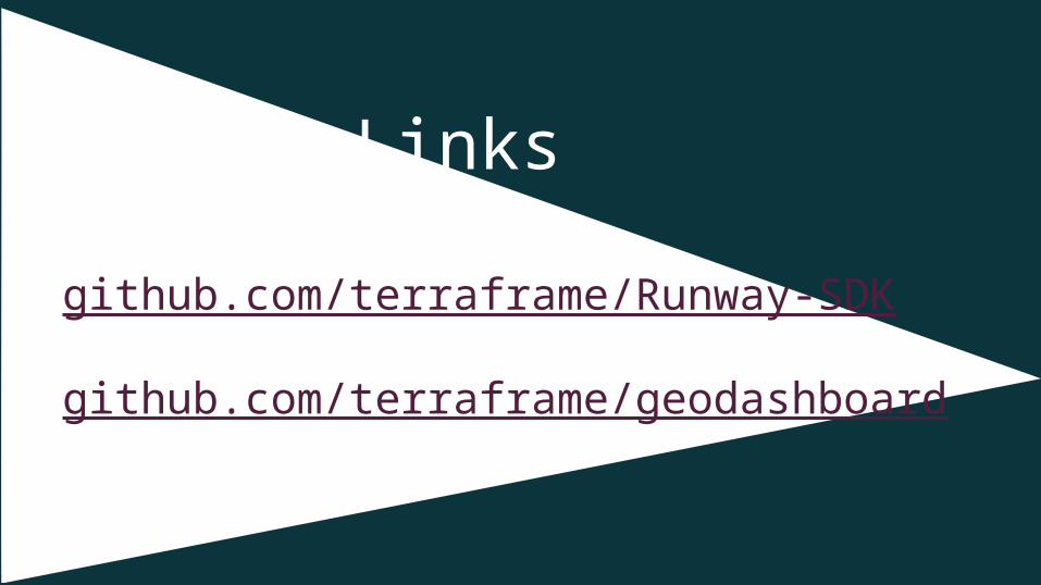
GitHub Links
github.com/terraframe/Runway-SDK
github.com/terraframe/geodashboard