Embed Size (px)
Citation preview
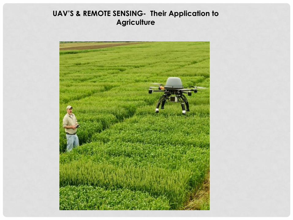
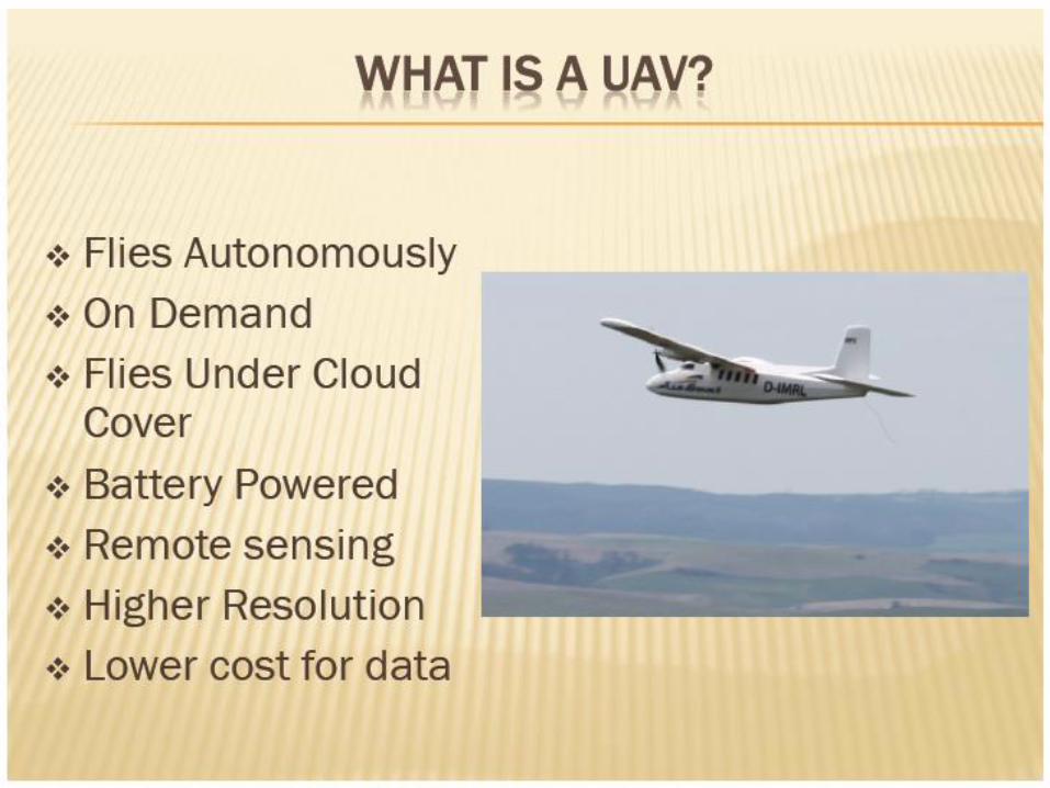
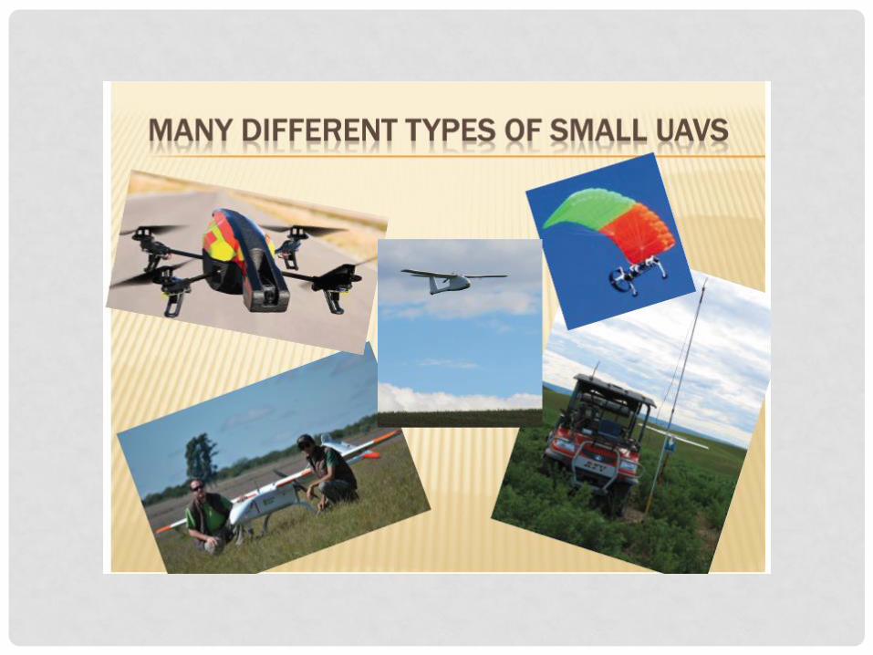
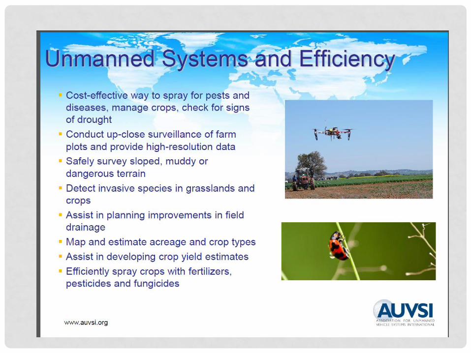
UAV’S & REMOTE SENSING- Their Application to
Agriculture
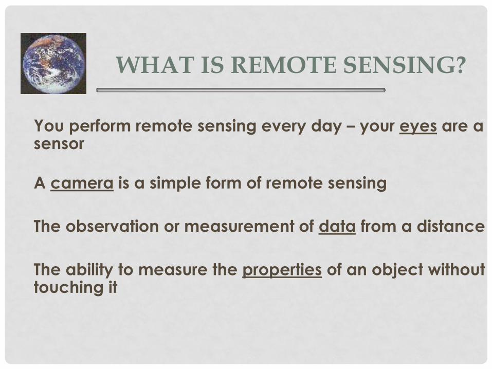
WHAT IS REMOTE SENSING?
You perform remote sensing every day – your eyes are a sensor
A camera is a simple form of remote sensing
The observation or measurement of data from a distance
The ability to measure the properties of an object without touching it

COMPONENTS OF A REMOTE SENSING SYSTEM
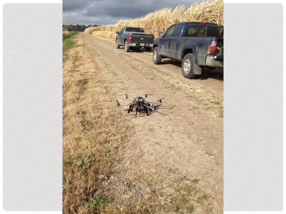
• Aerial platform
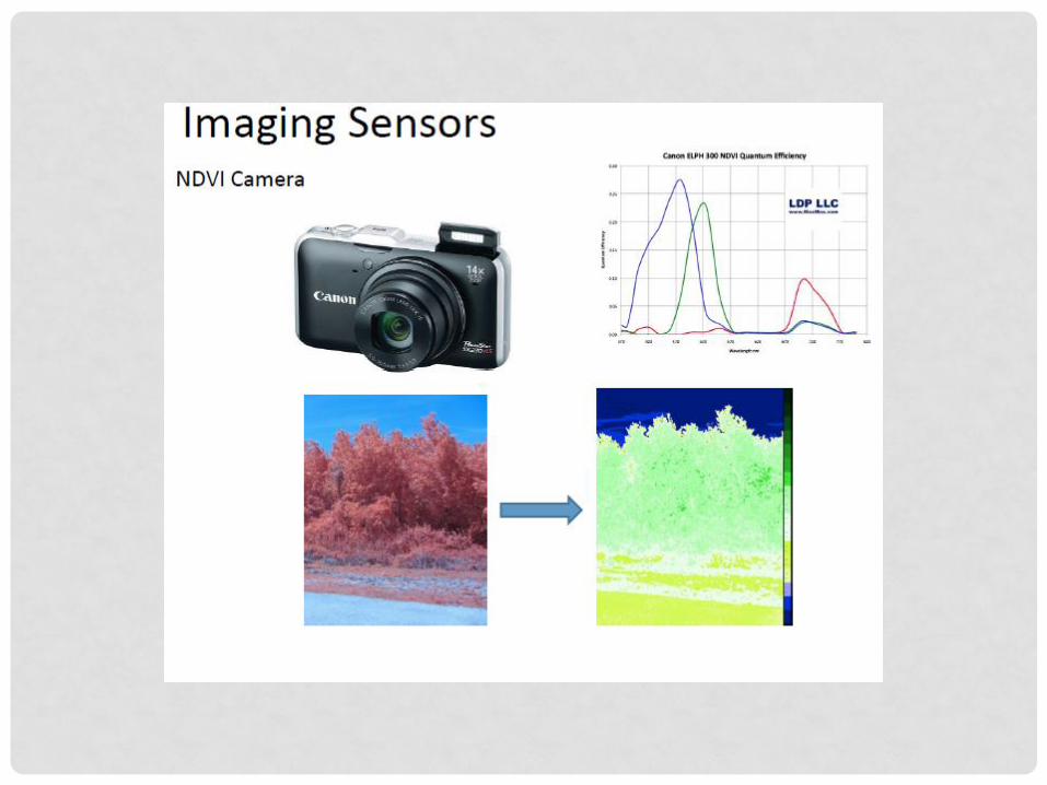
• GPS Camera system- NDVI
• Raw Image processing software
• Image stitching software
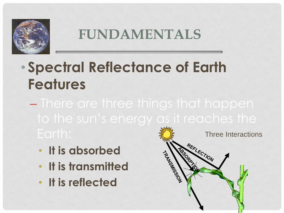
FUNDAMENTALS
•Spectral Reflectance of Earth
Features
– There are three things that happen
to the sun’s energy as it reaches the
Earth:
• It is absorbed
• It is transmitted
• It is reflected
Three Interactions
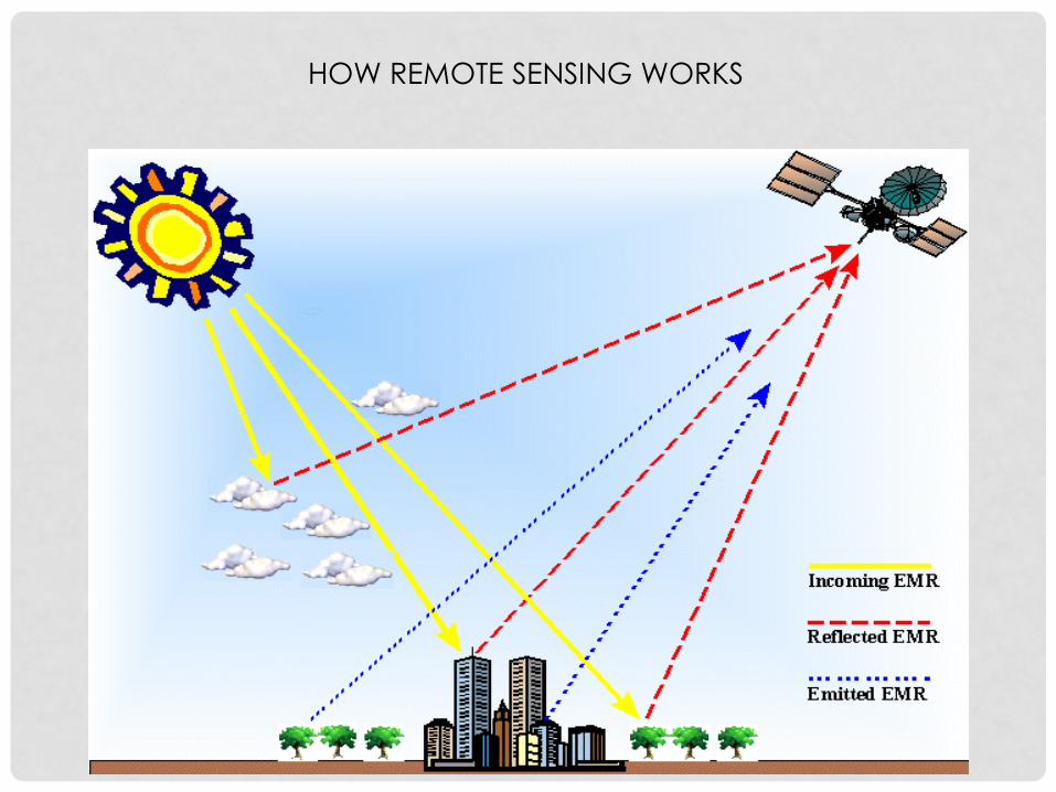
HOW REMOTE SENSING WORKS

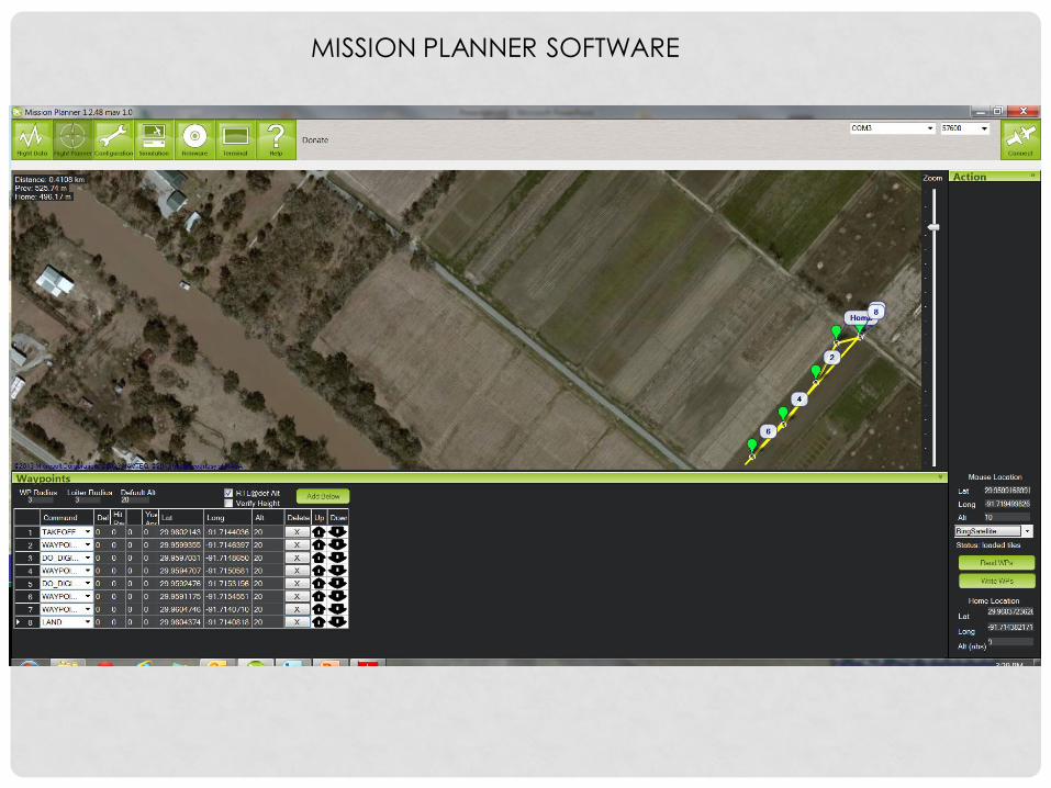
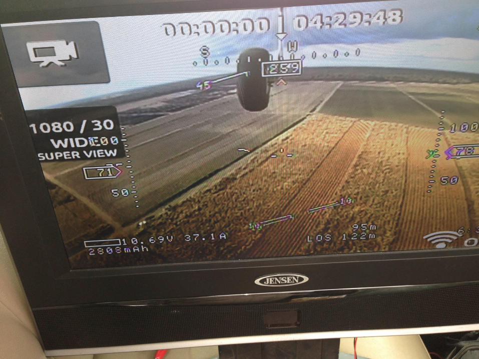
MISSION PLANNER SOFTWARE
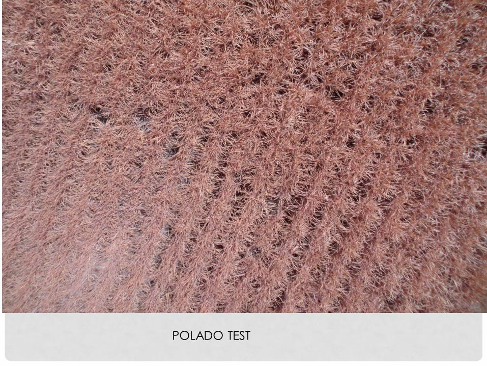
POLADO TEST
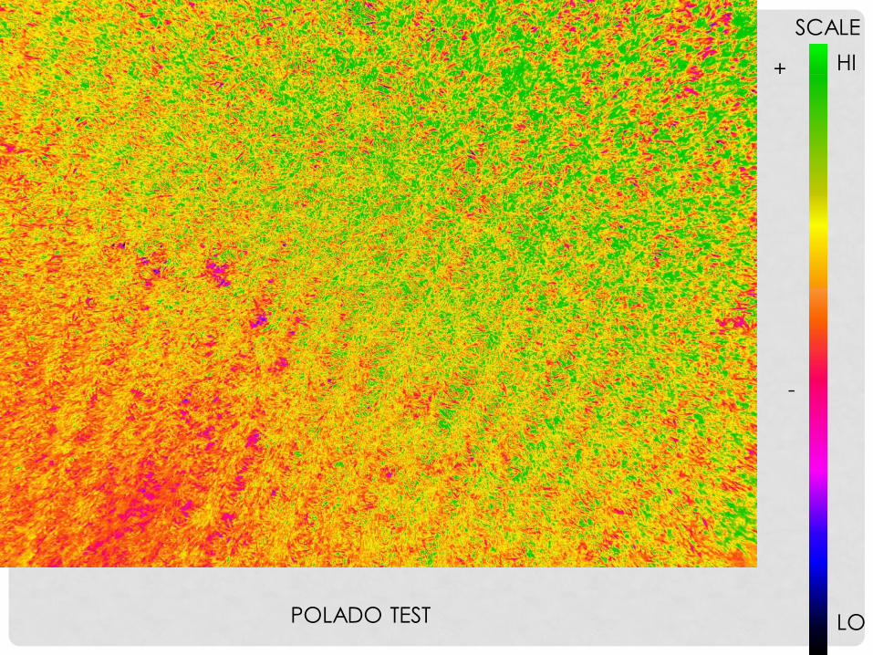
SCALE
LO
HI
POLADO TEST
+
-
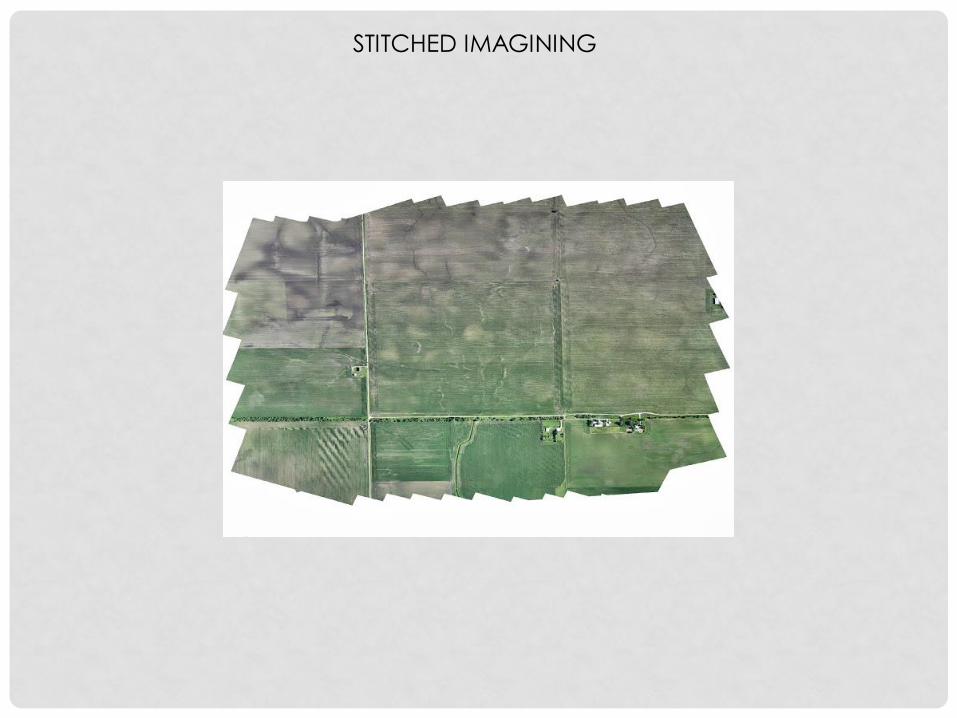
STITCHED IMAGINING
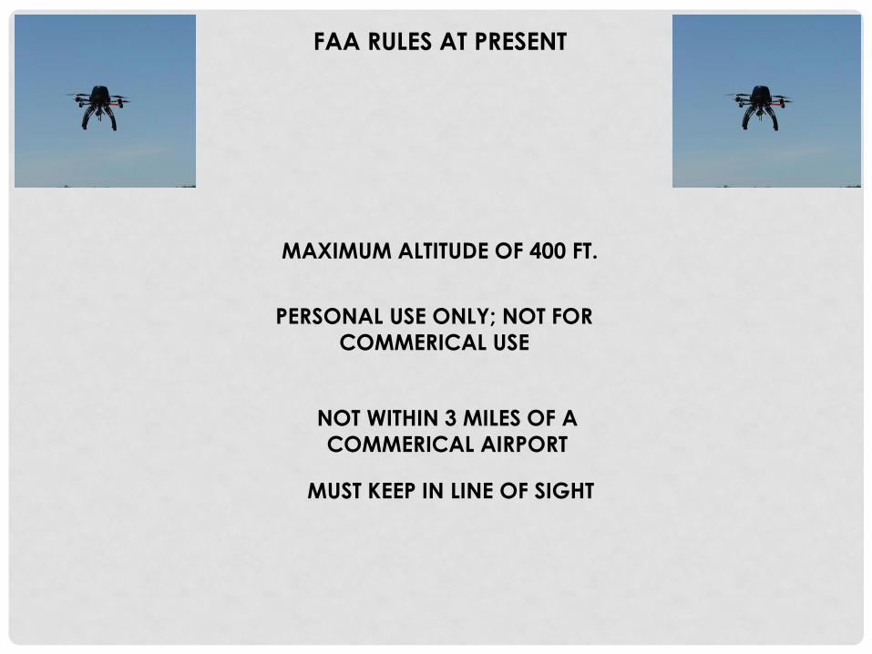
FAA RULES AT PRESENT
MAXIMUM ALTITUDE OF 400 FT.
PERSONAL USE ONLY; NOT FOR
COMMERICAL USE
NOT WITHIN 3 MILES OF A
COMMERICAL AIRPORT
MUST KEEP IN LINE OF SIGHT

QUESTIONS?


![[REMOTE SENSING] 3-PM Remote Sensing](https://img.pdfslide.net/doc/110x75/61f2bbb282fa78206228d9e2/remote-sensing-3-pm-remote-sensing.jpg)


